TBD3 E 1550 Road, Jerico Springs, MO 64756
Fully surveyed wooded acreage with meadow, new entrance, and utilities available along property boundaries for recreational use.
- Added:
- Jun 8, 2026
- Days on Market:
- 15
- Last Refresh:
- Jun 20 at 4:50 am
Property Features for TBD3 E 1550 Road
General Information
- Standard status
- Active
- Lot size
- 30.00 Acres
- Property subtype
- Land, Special Purpose
Listing agent Ryan Hubbard
Listing office United Country American Heartl
Listing date Jun 8, 2026
Source Crexi
Displayed information is deemed reliable but is not guaranteed and should be independently verified.
All listing content including descriptions, pricing, images are the copyrighted material of United Country American Heartl
HighLights
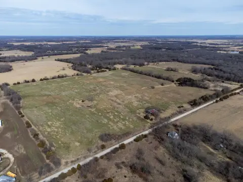
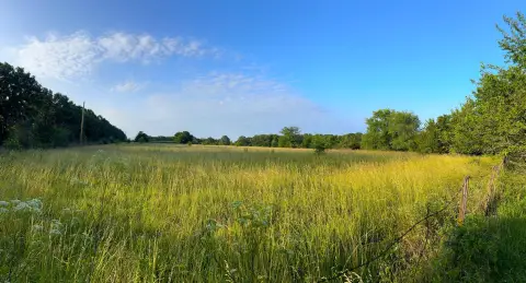
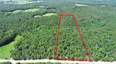
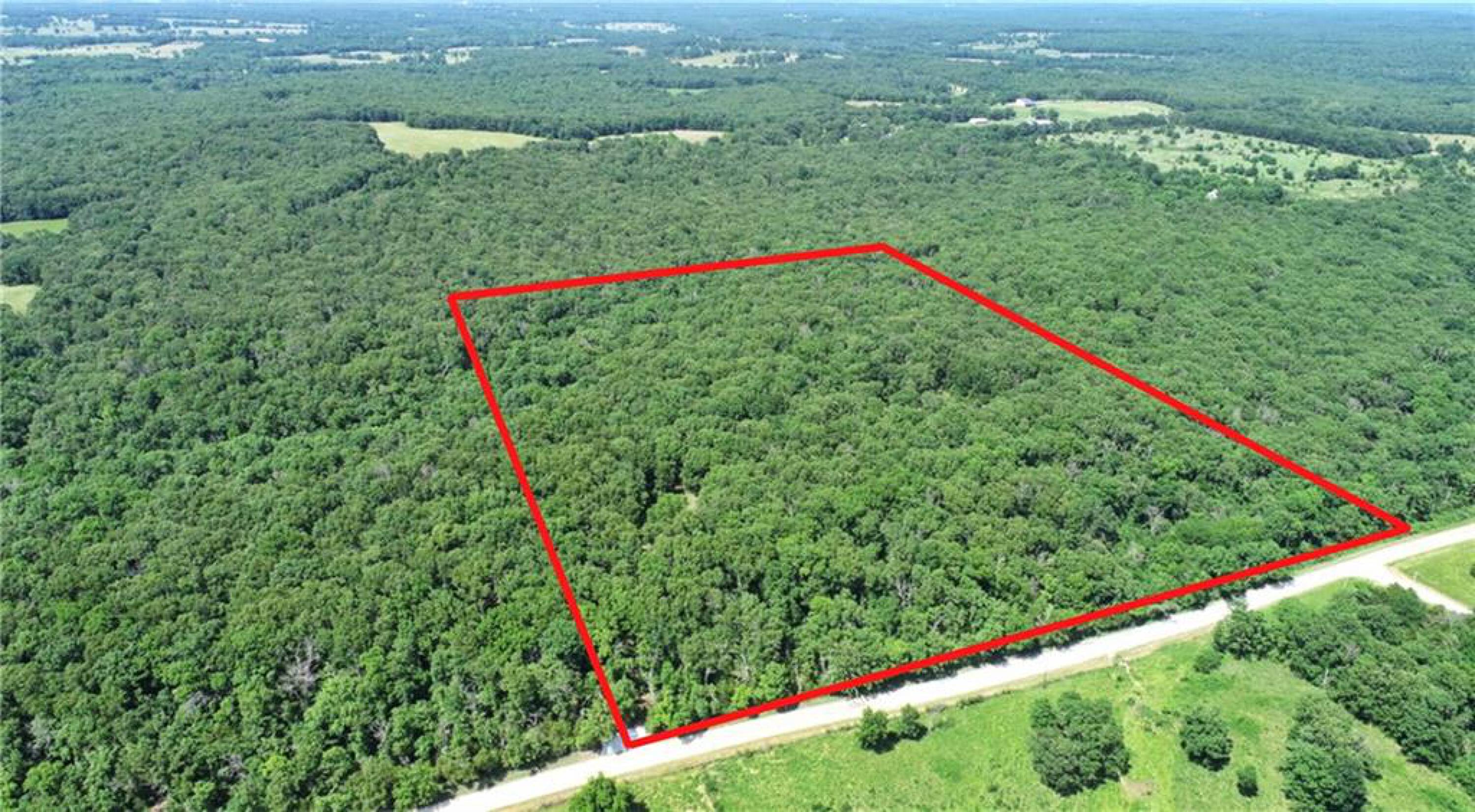
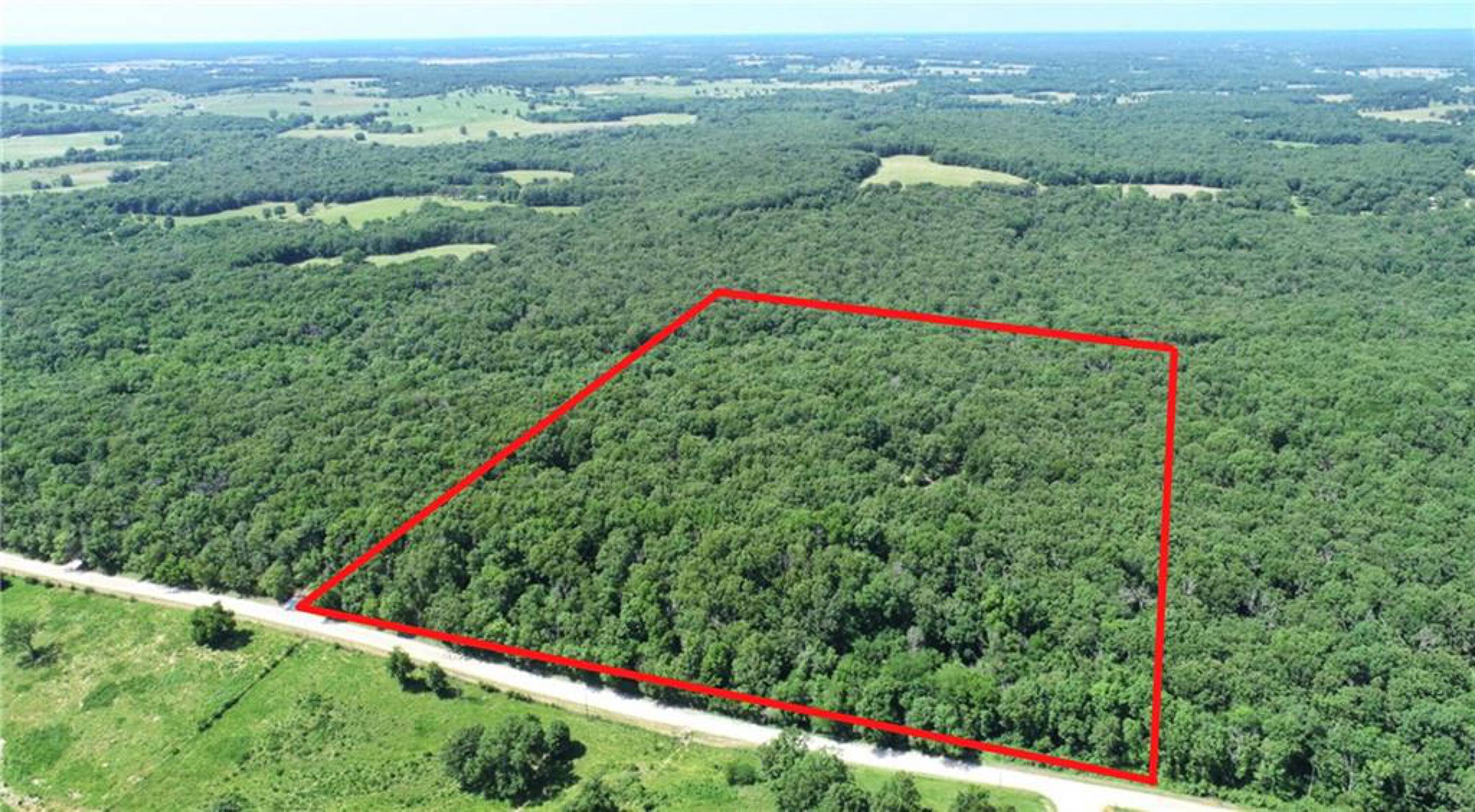
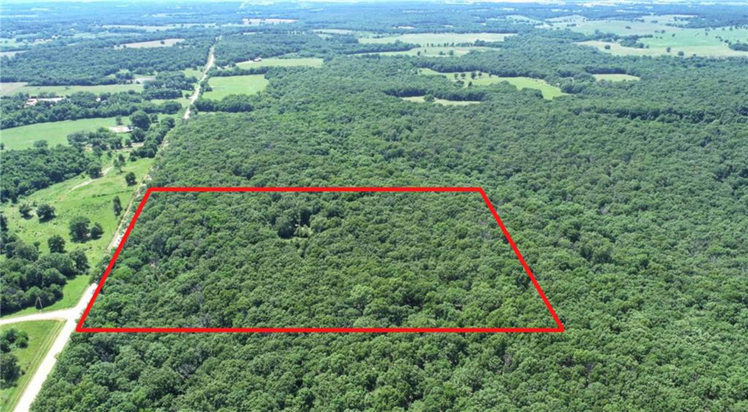
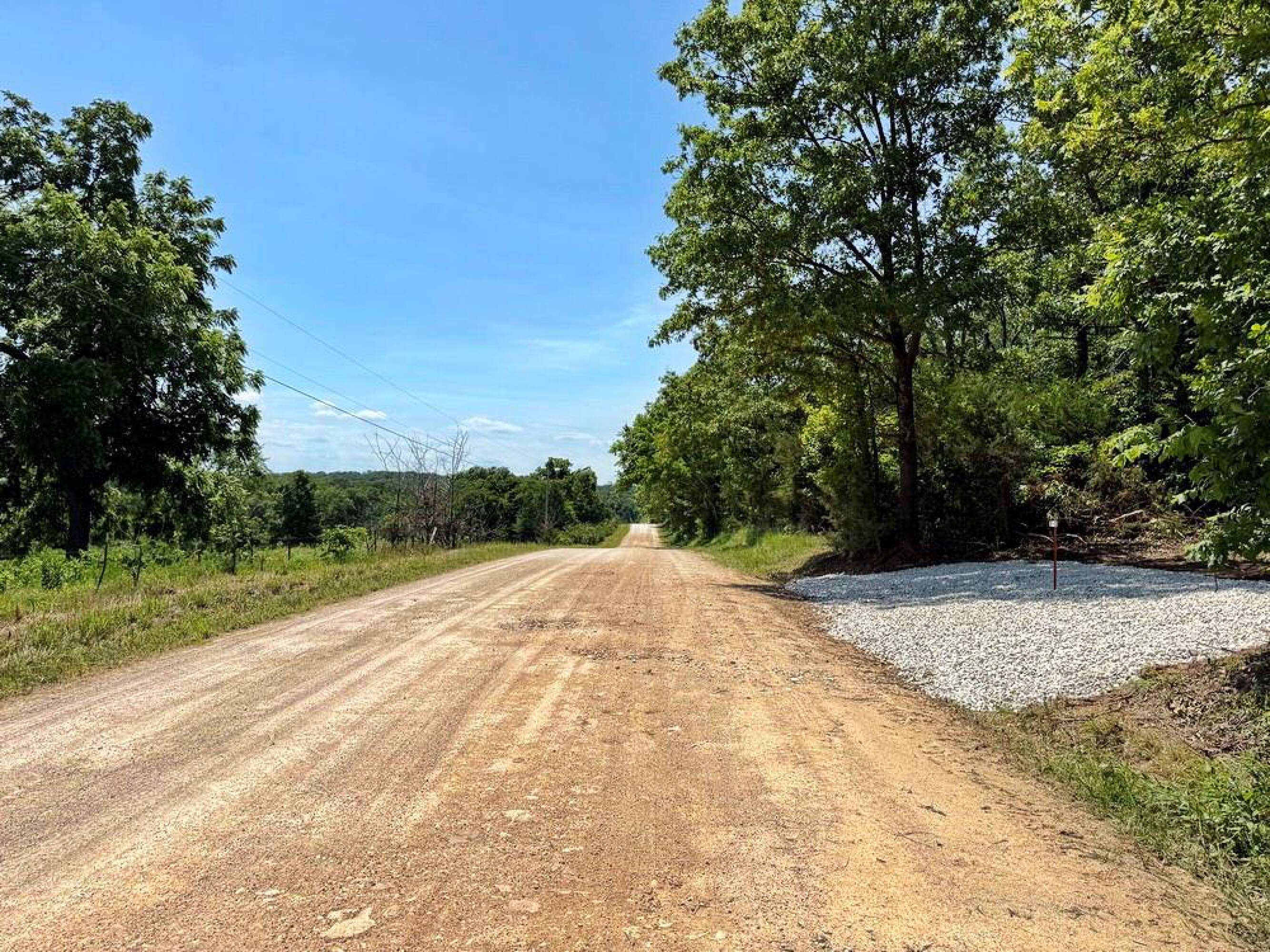
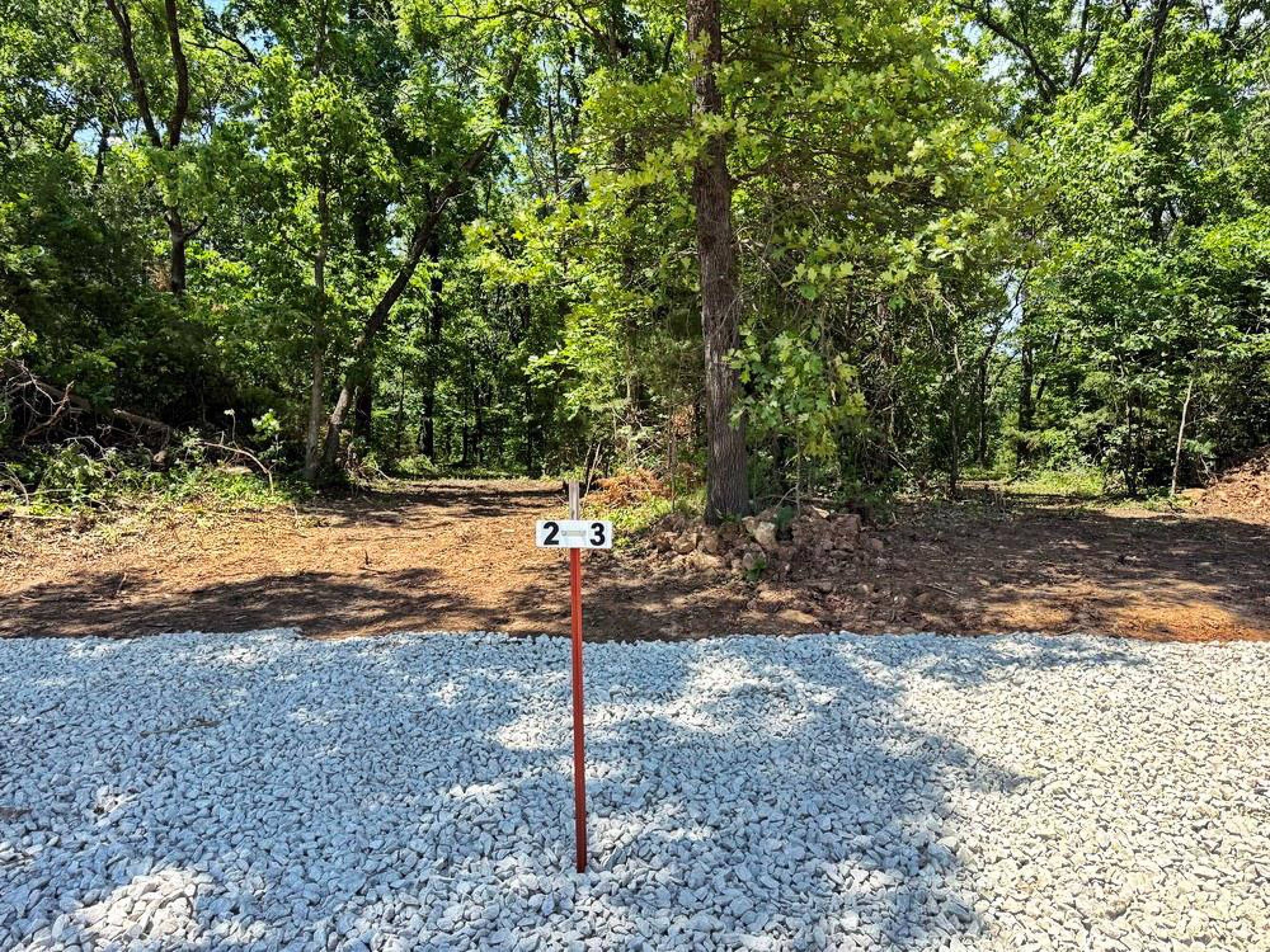
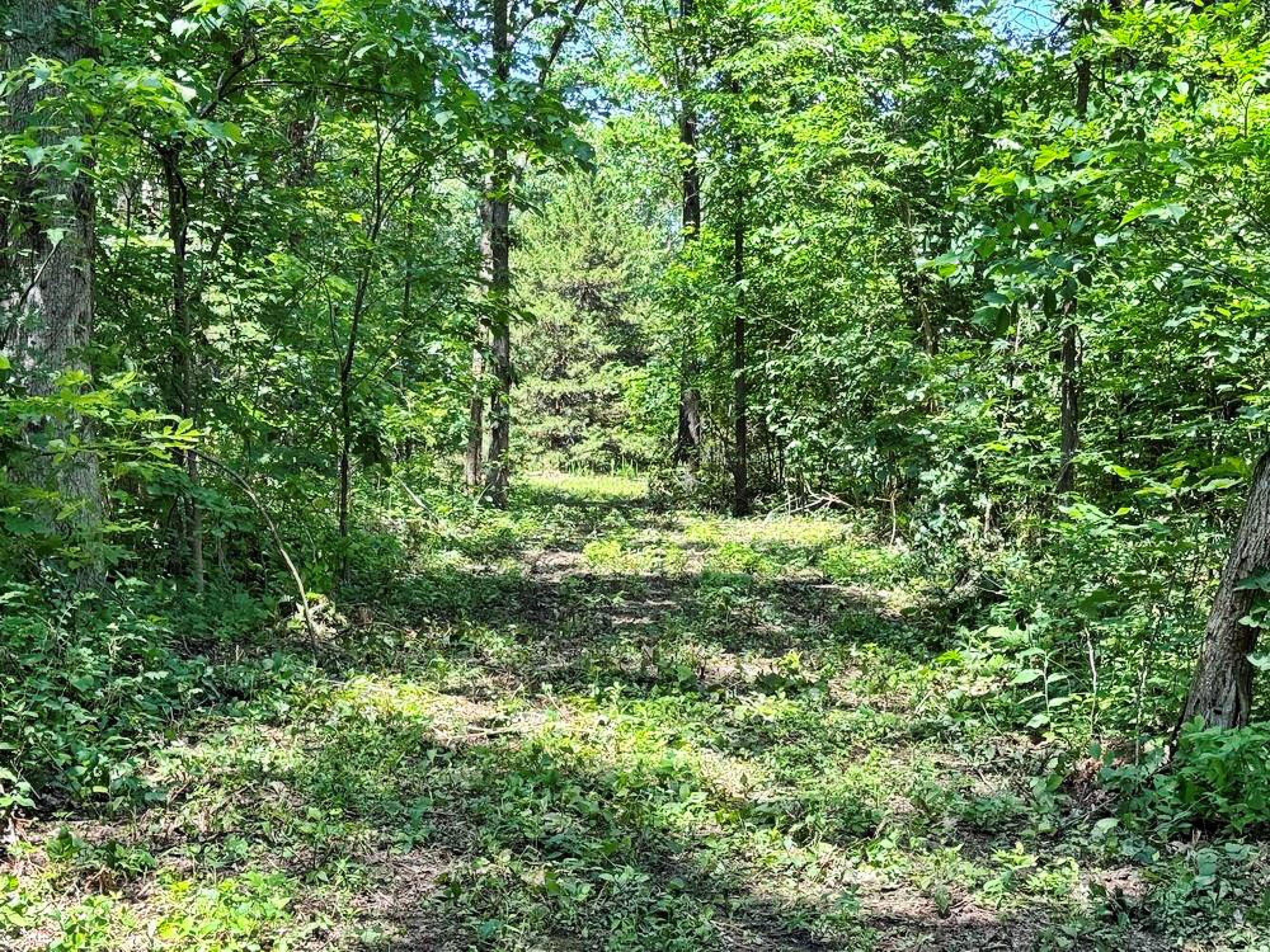
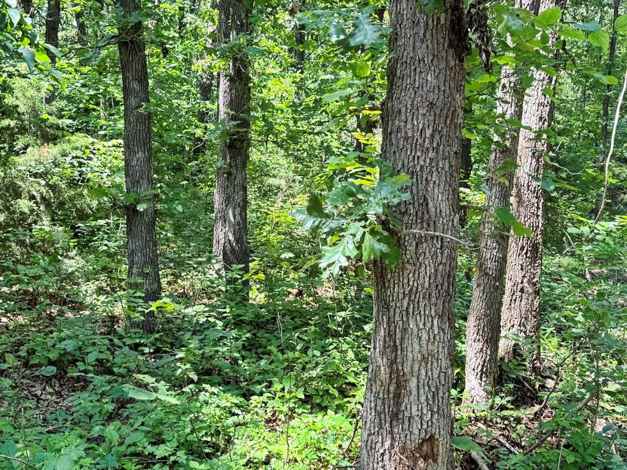
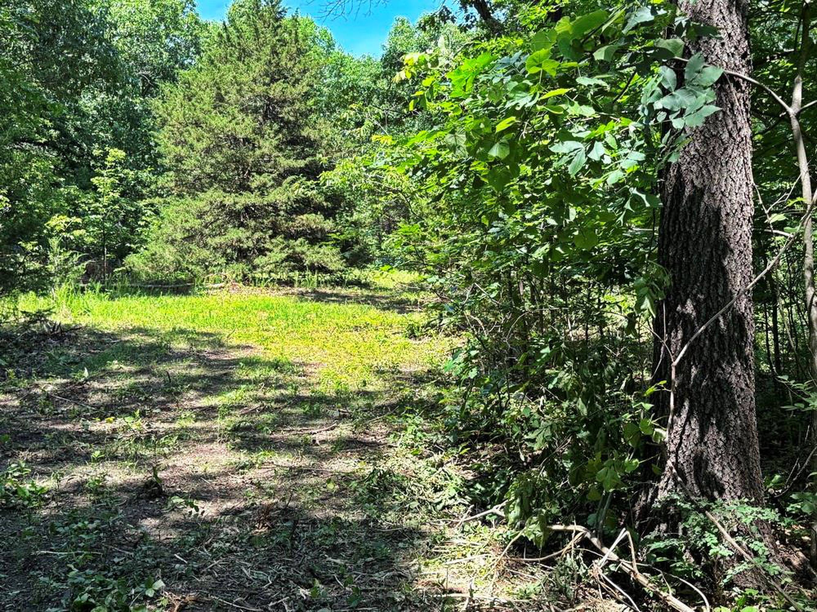
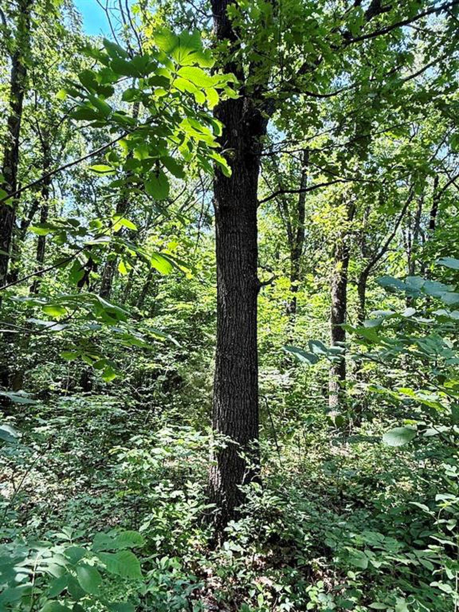
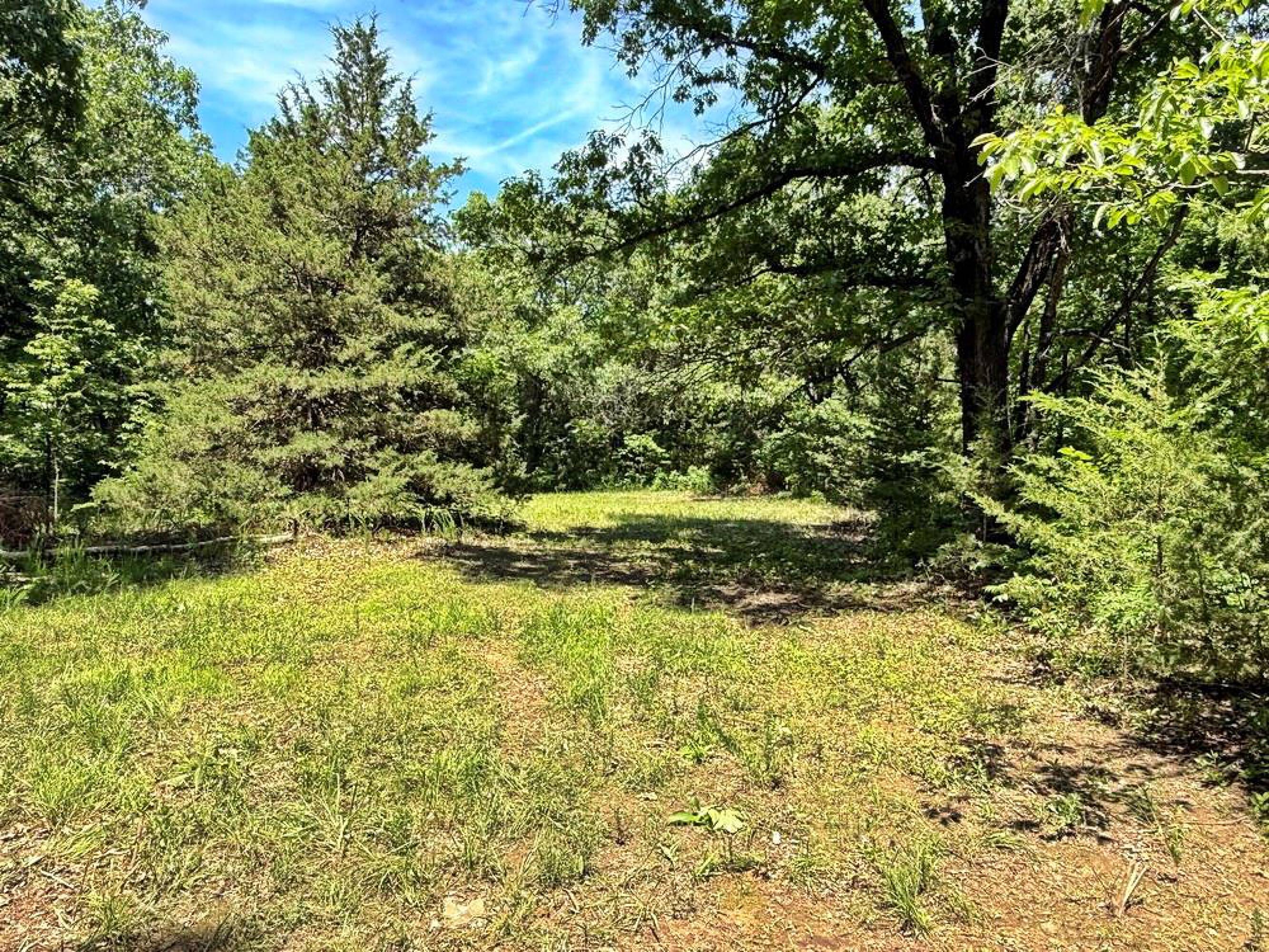
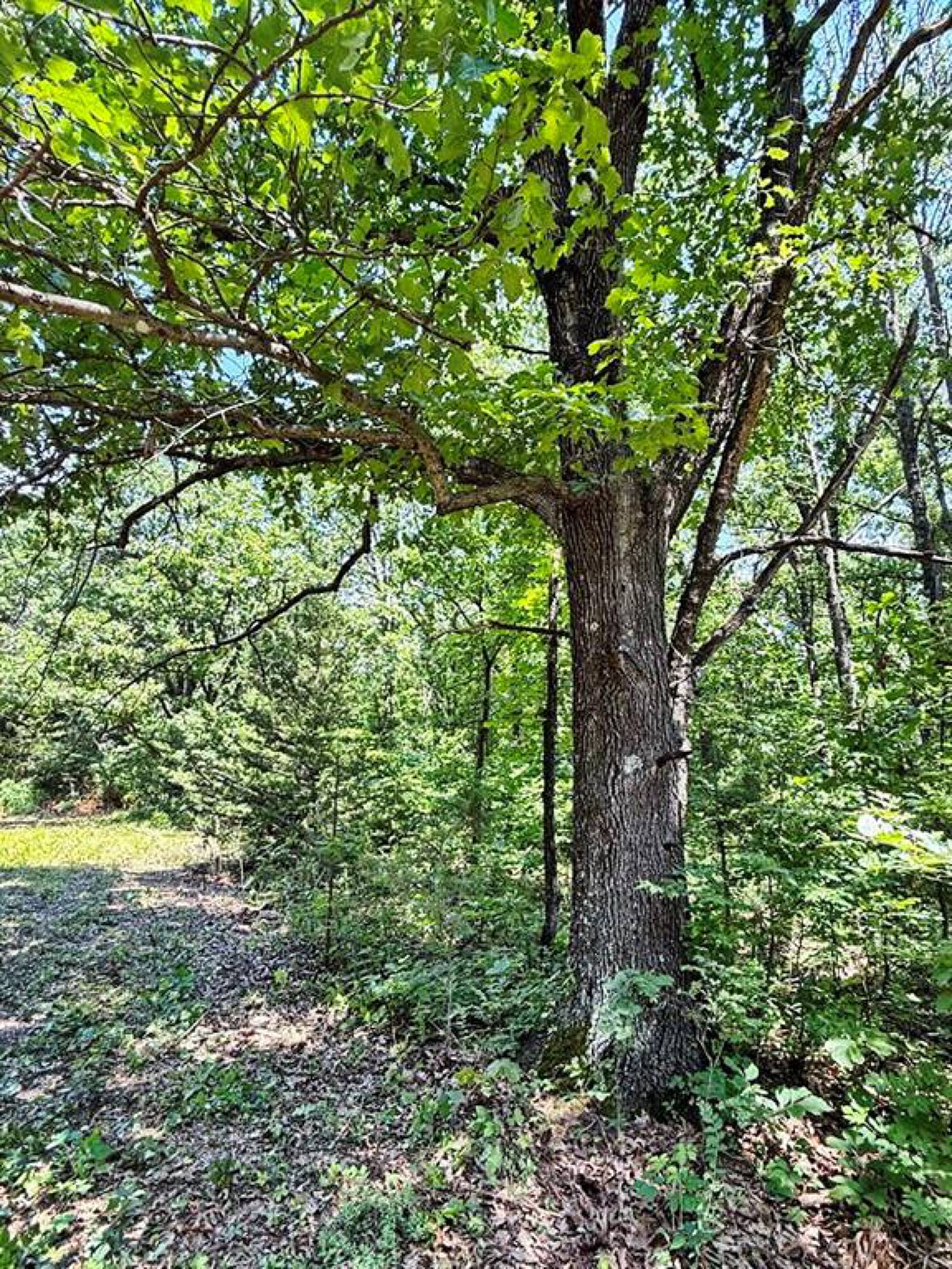
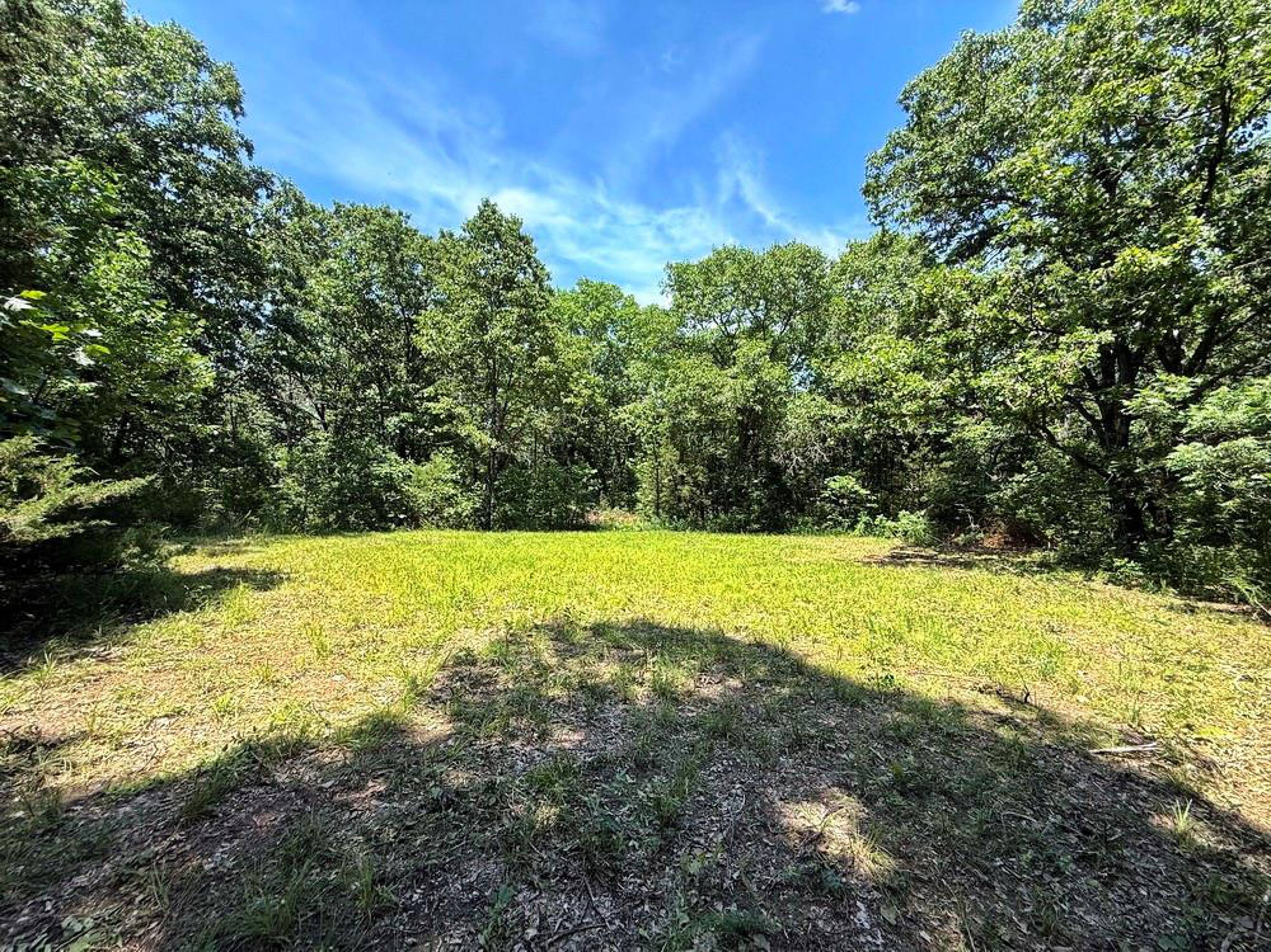
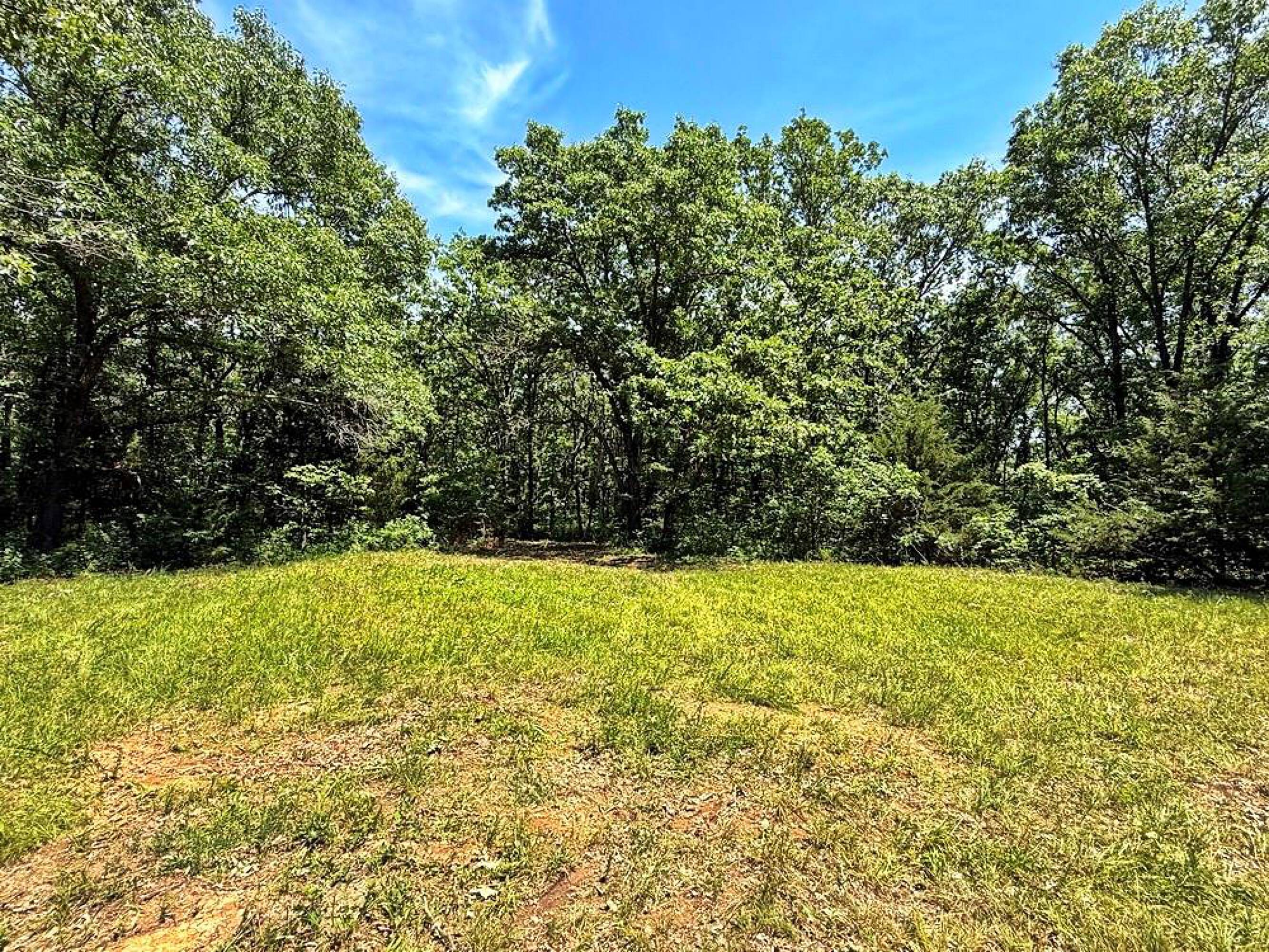
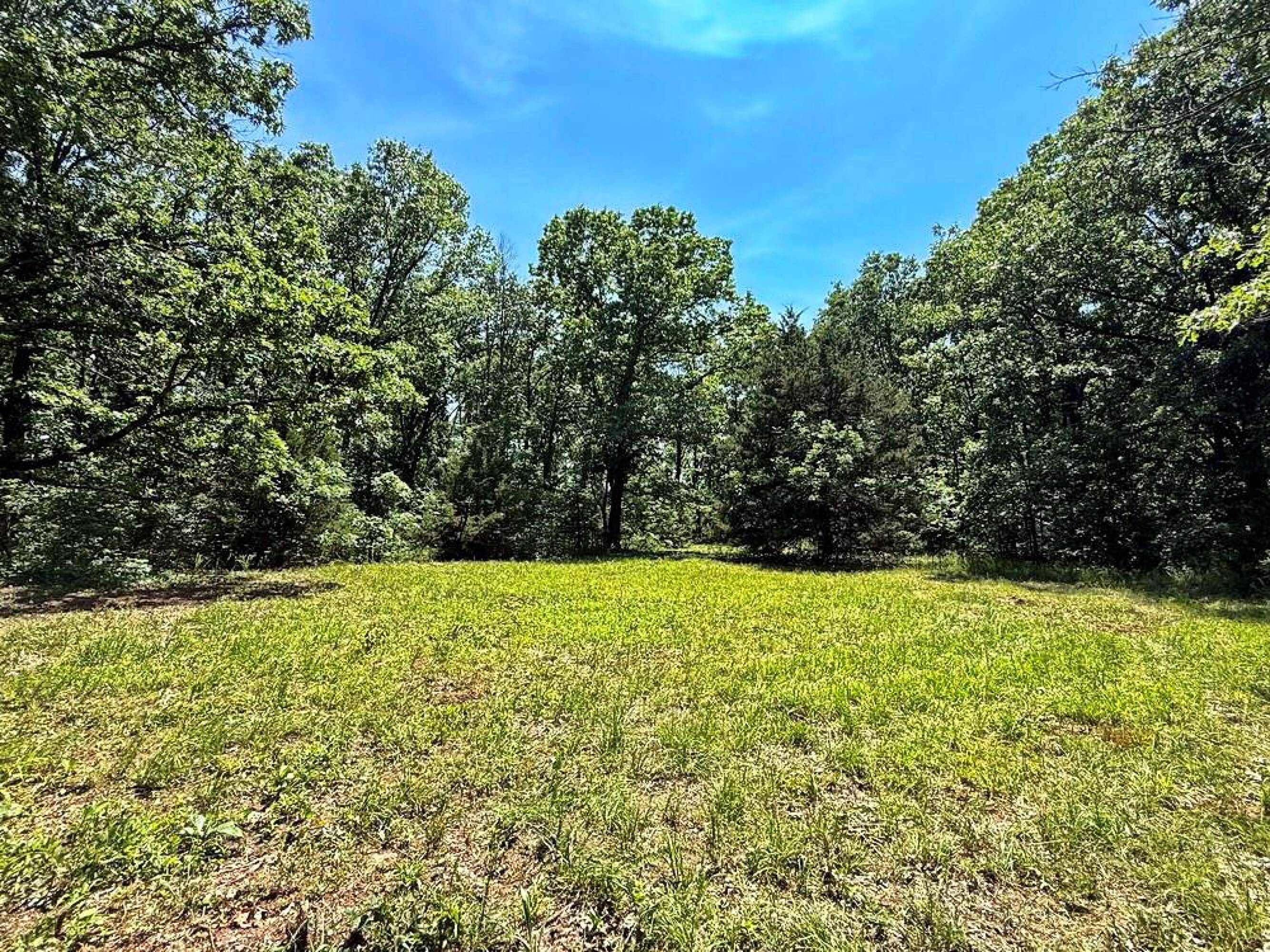
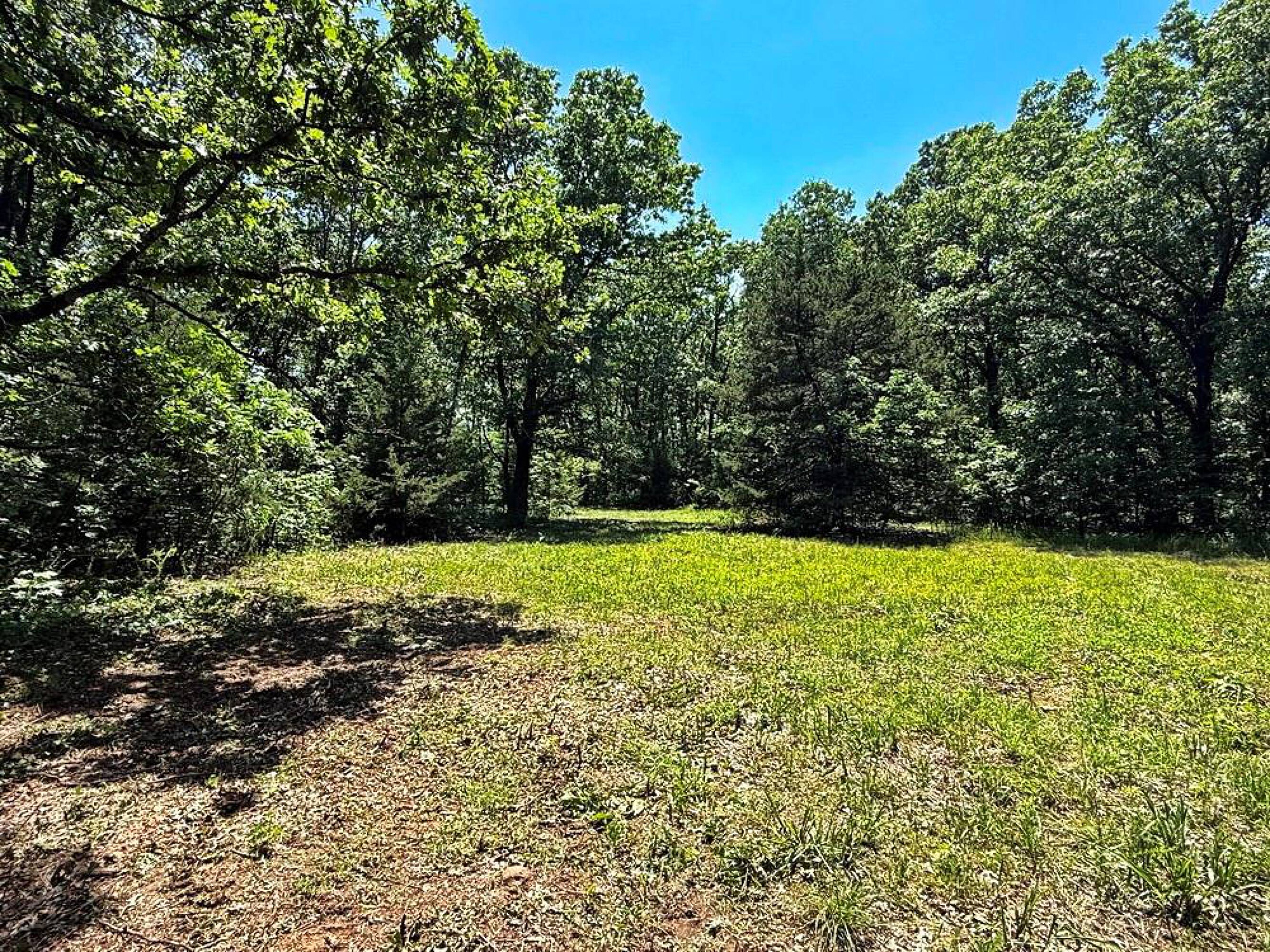
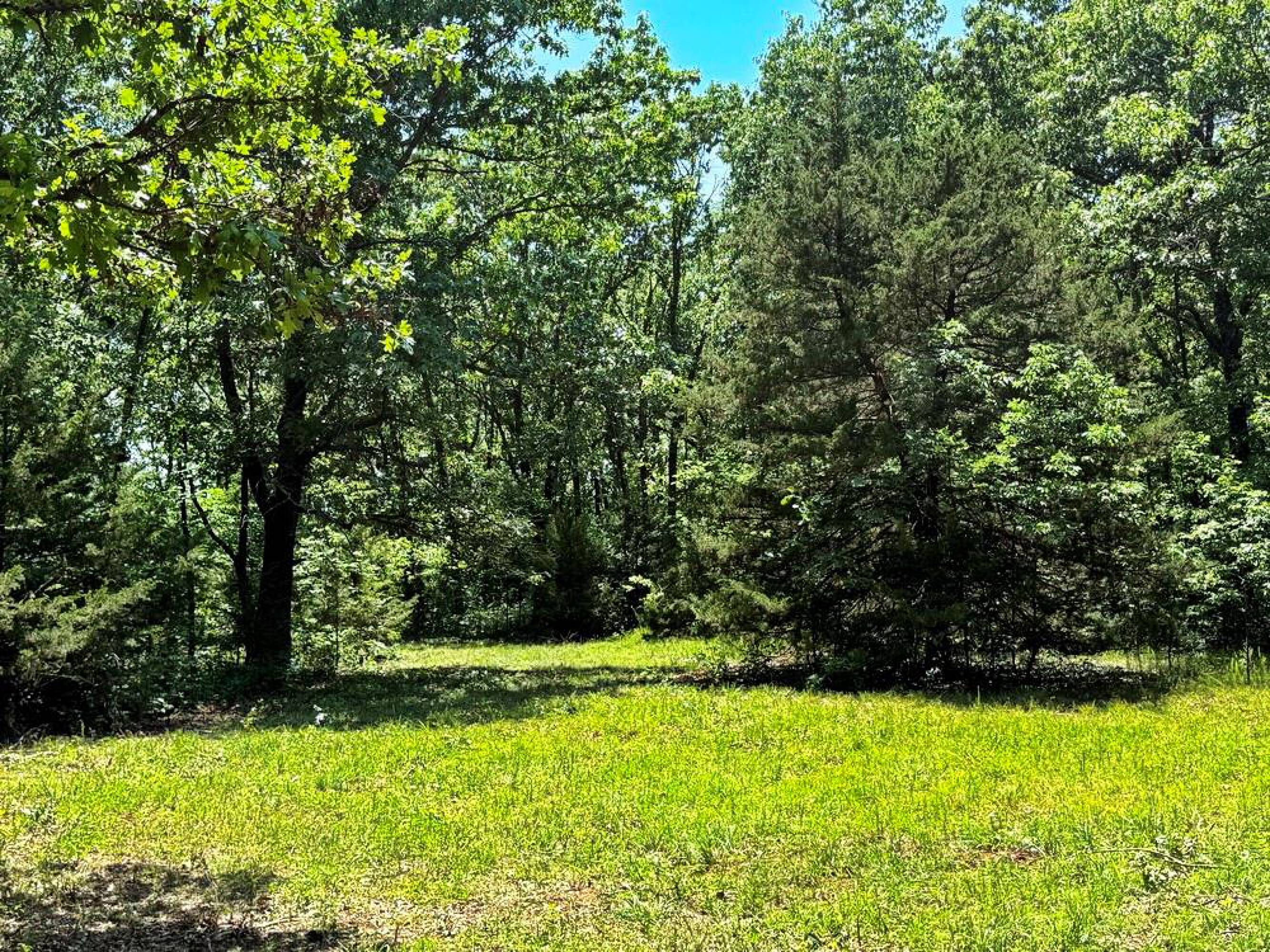
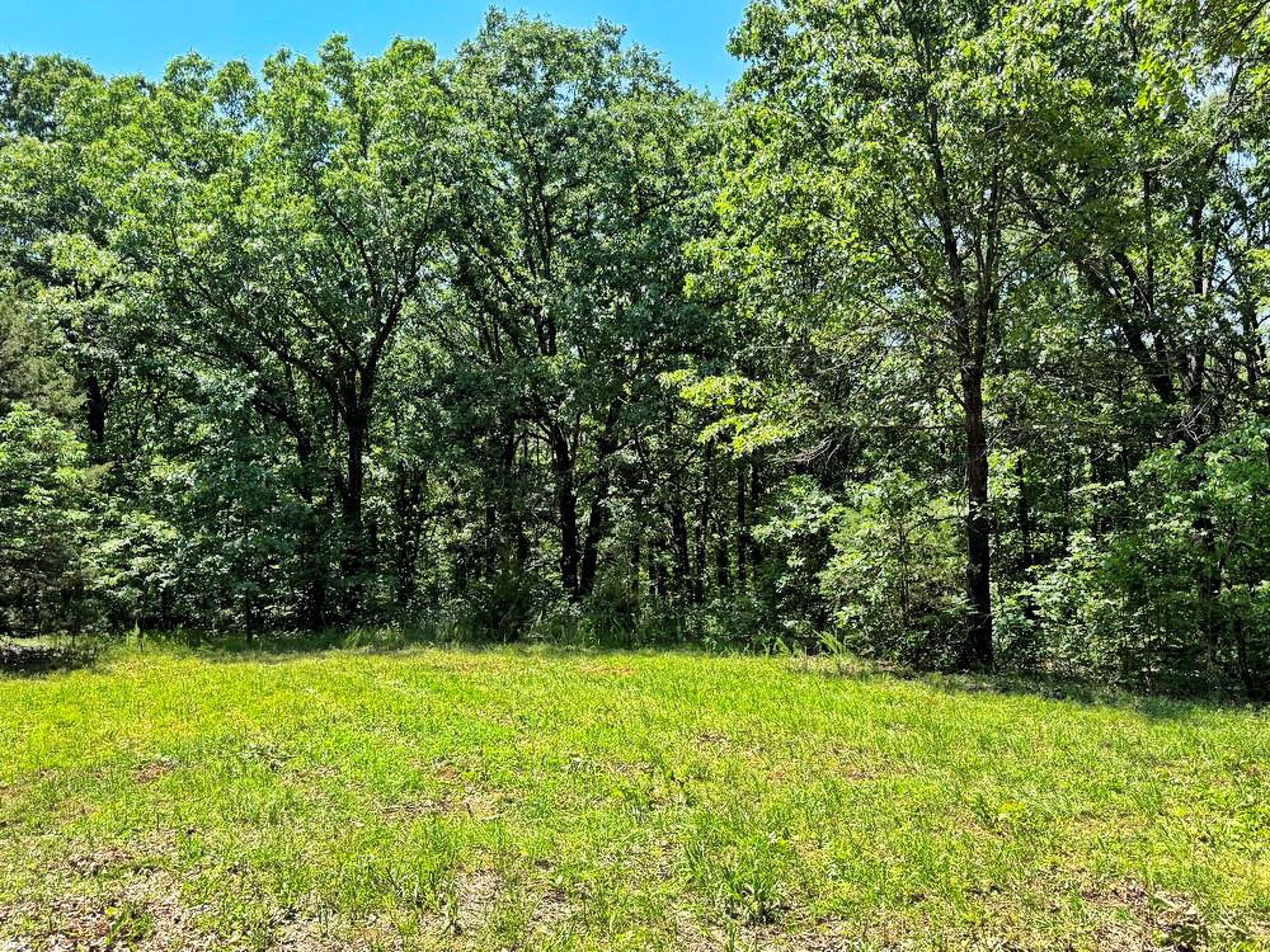
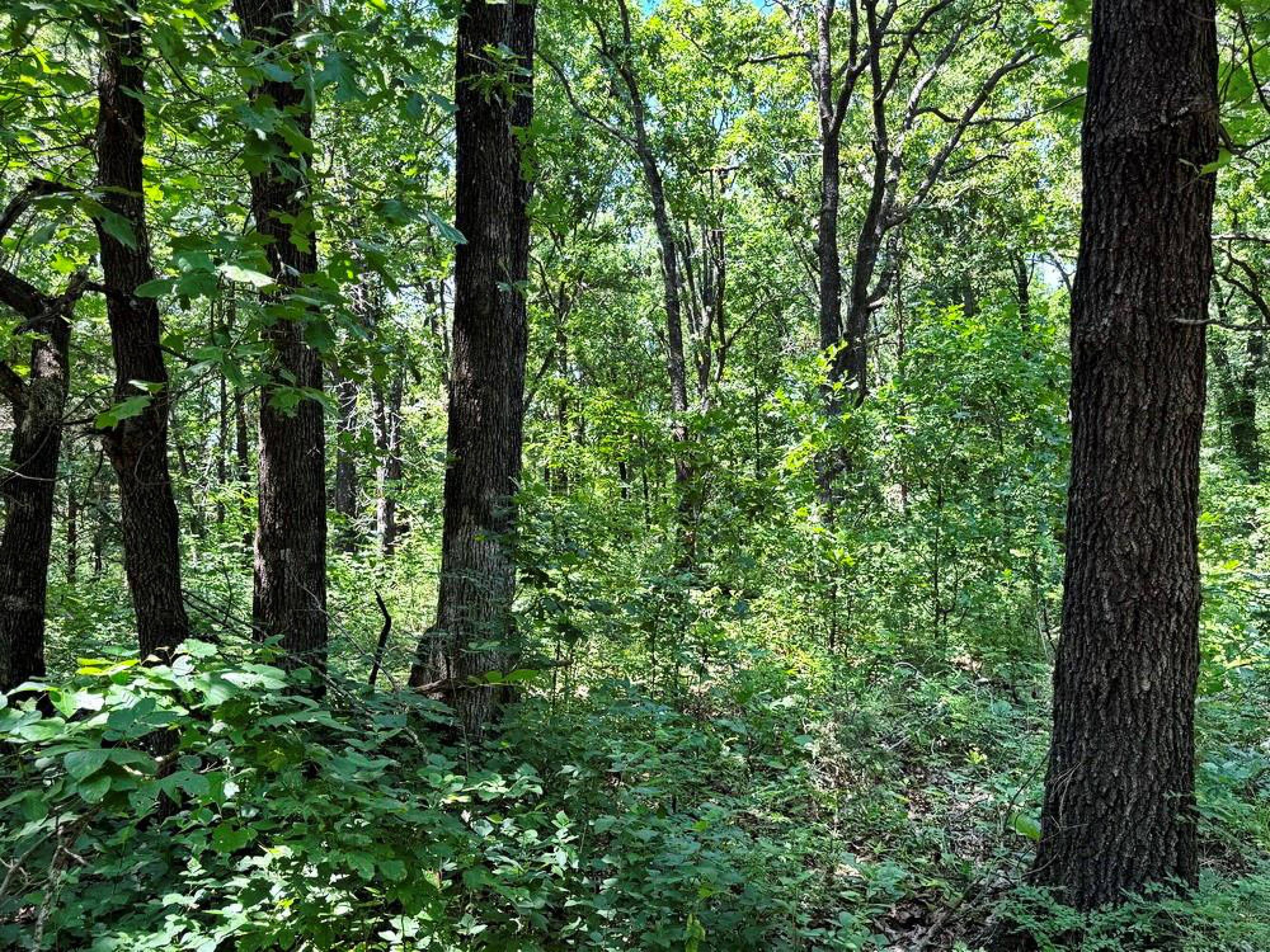
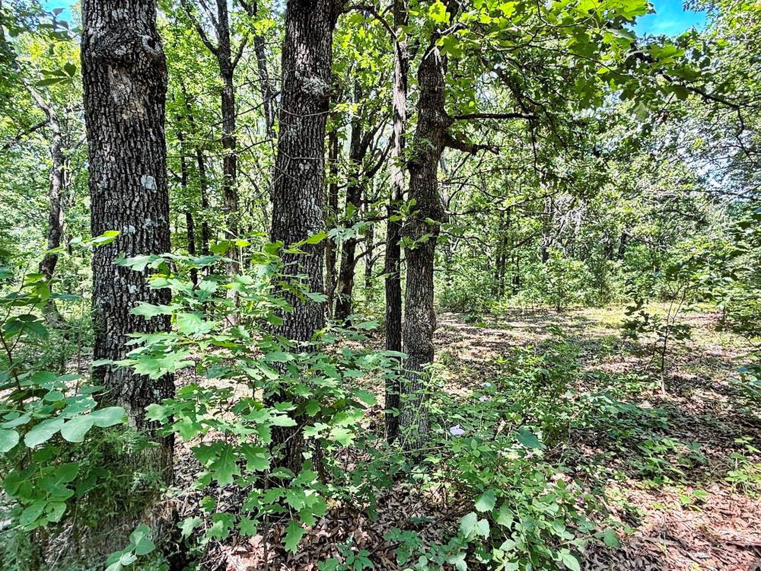
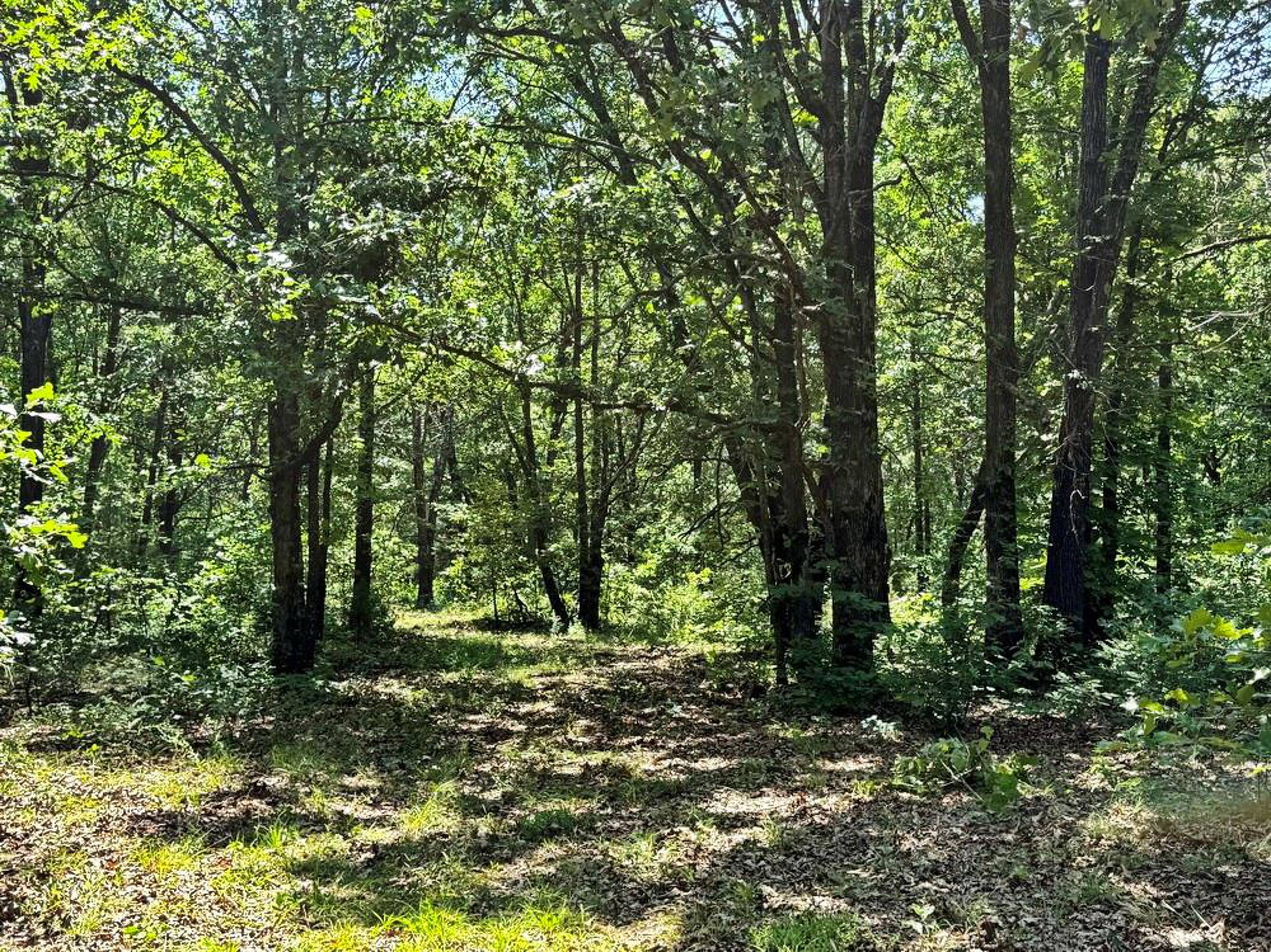
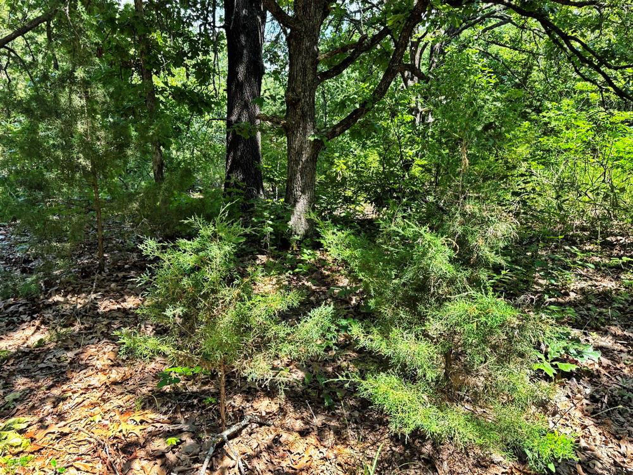
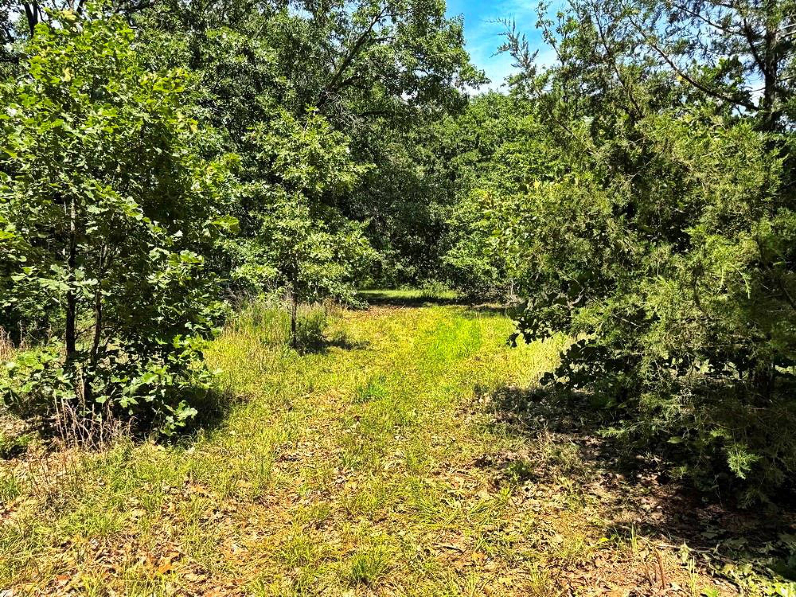
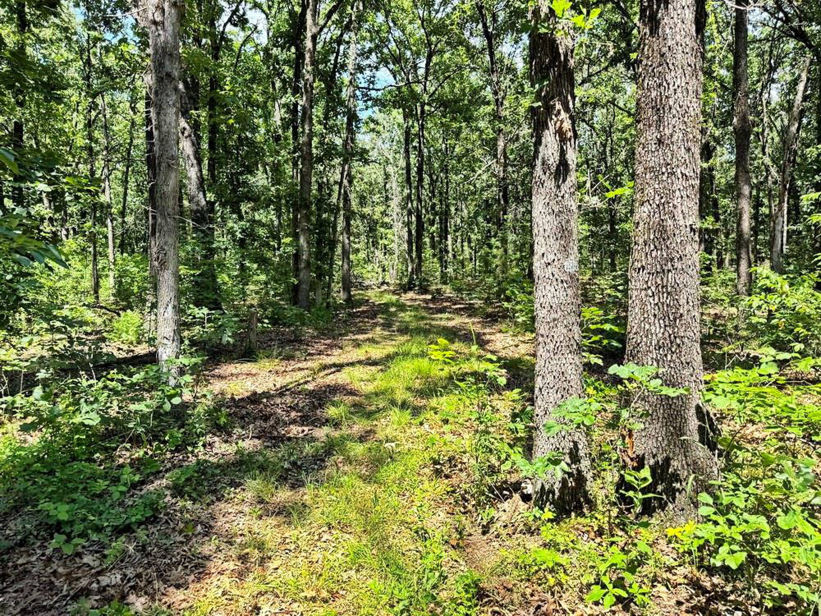
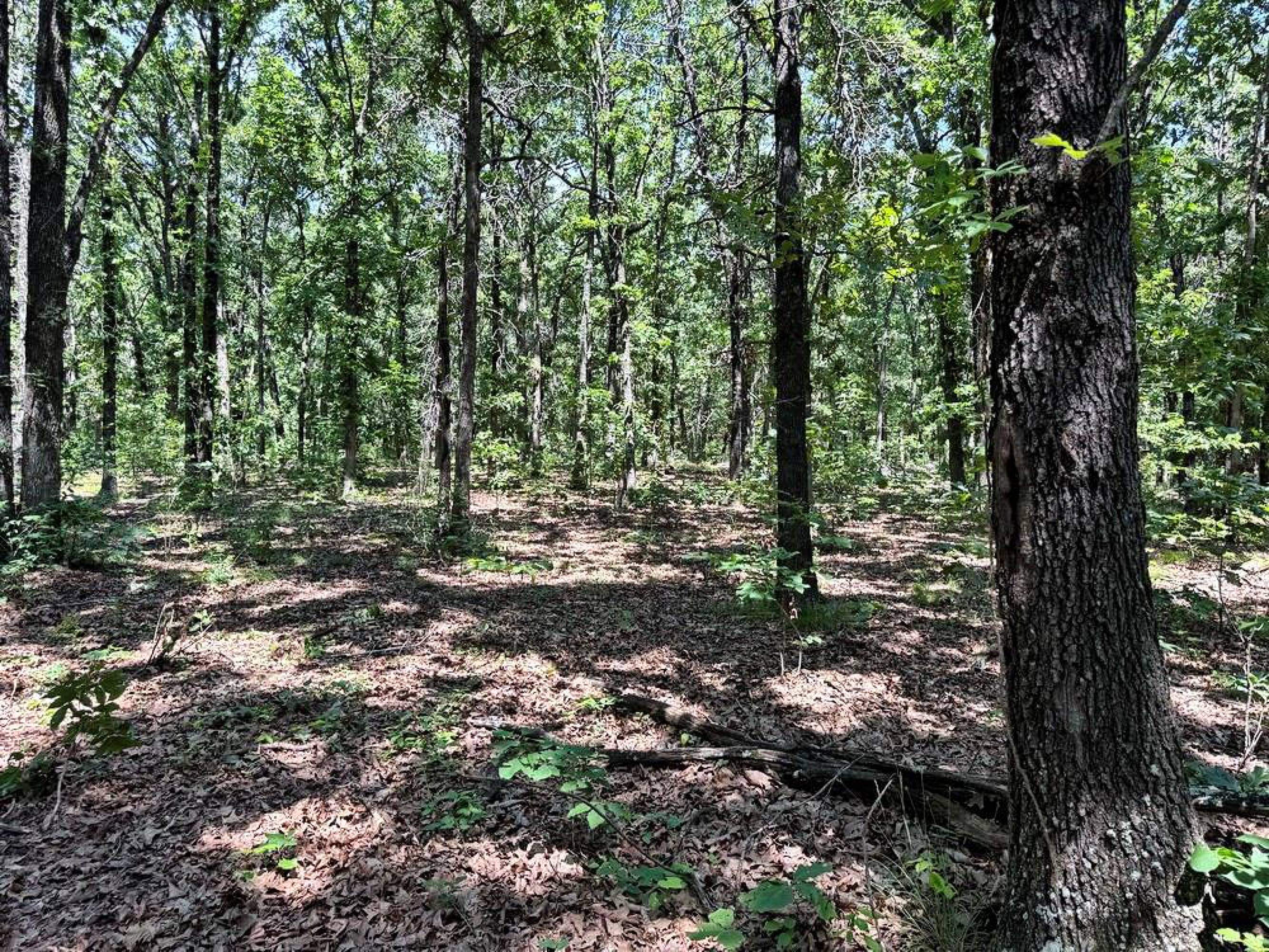
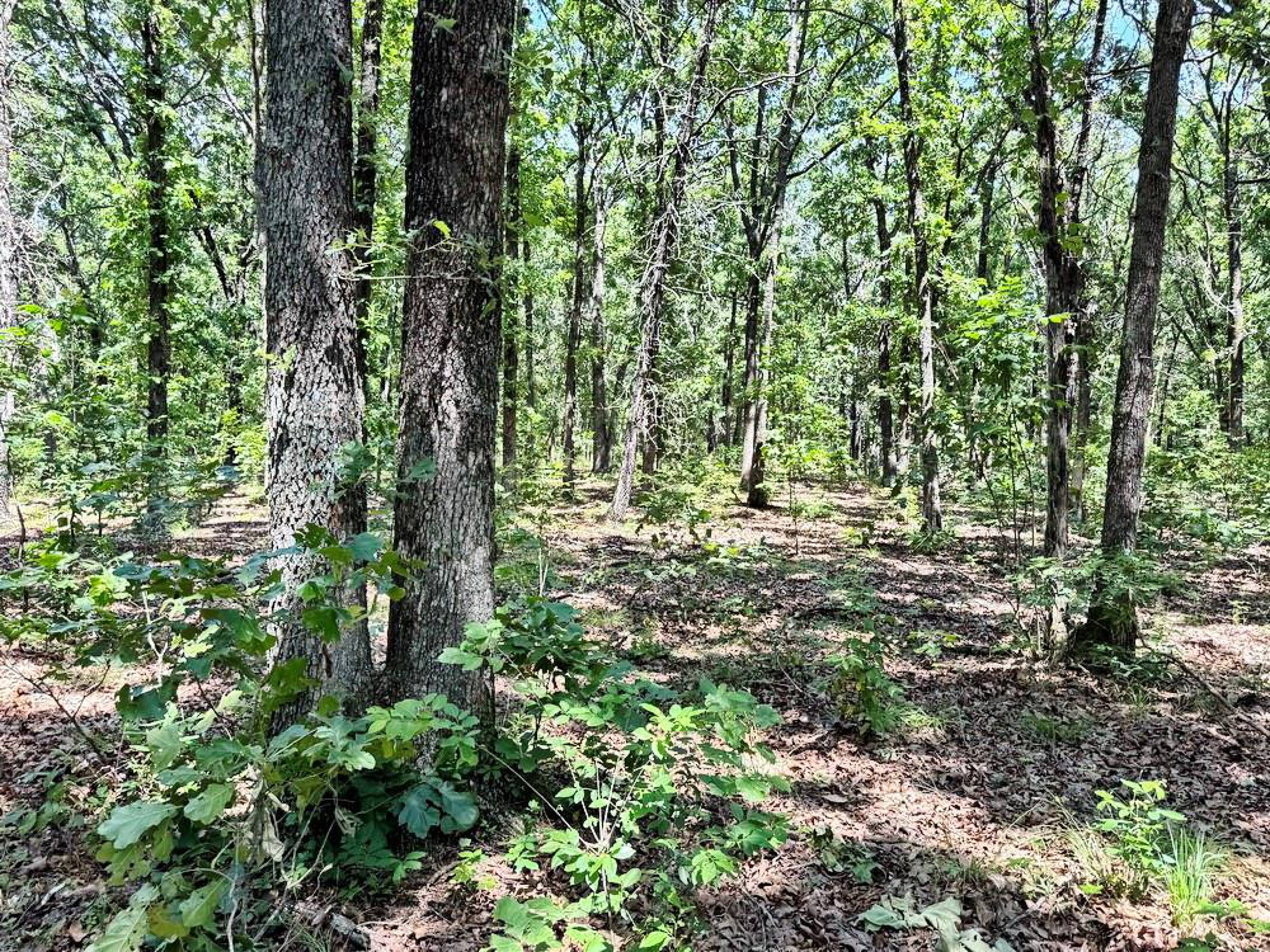
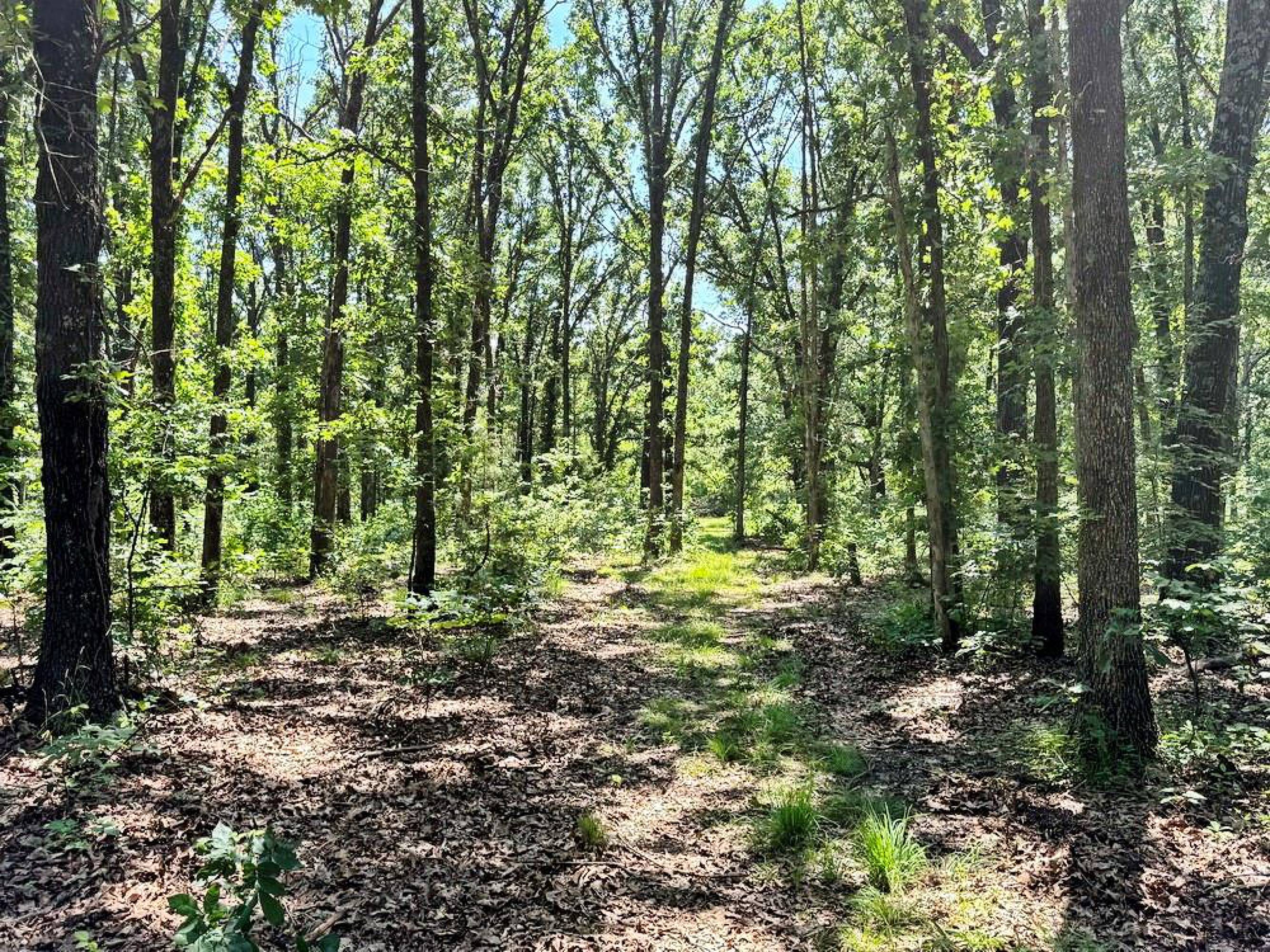
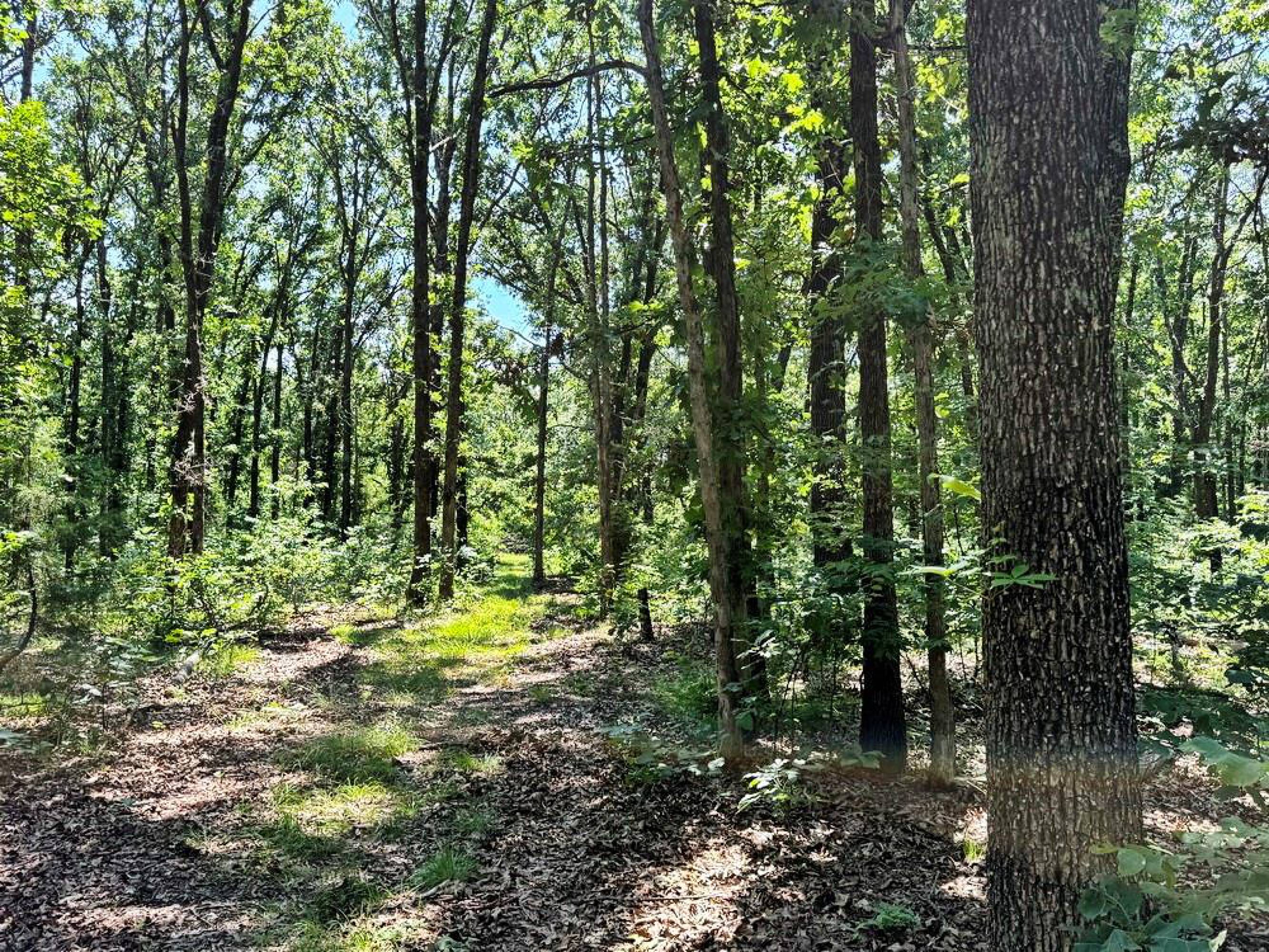
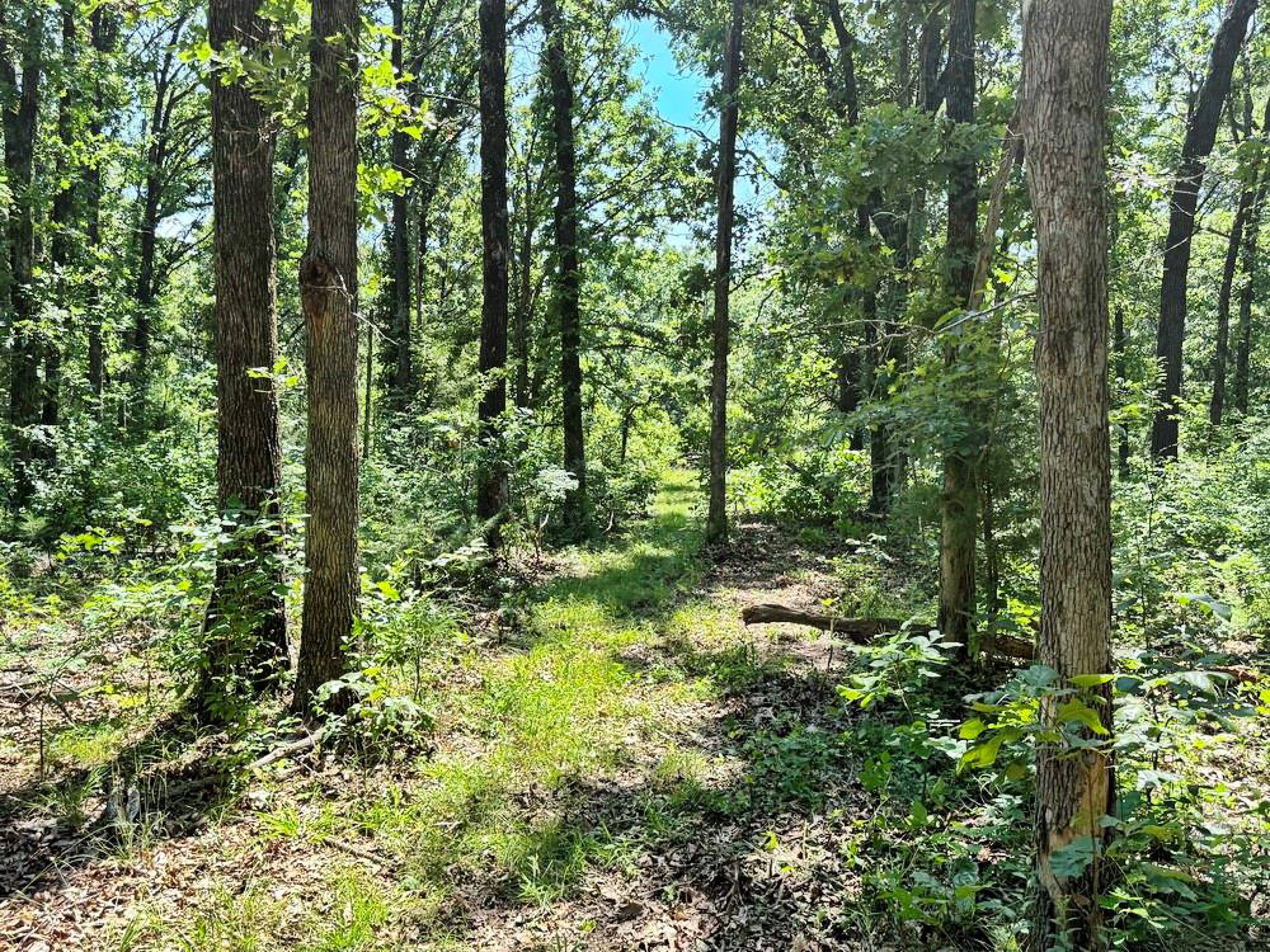
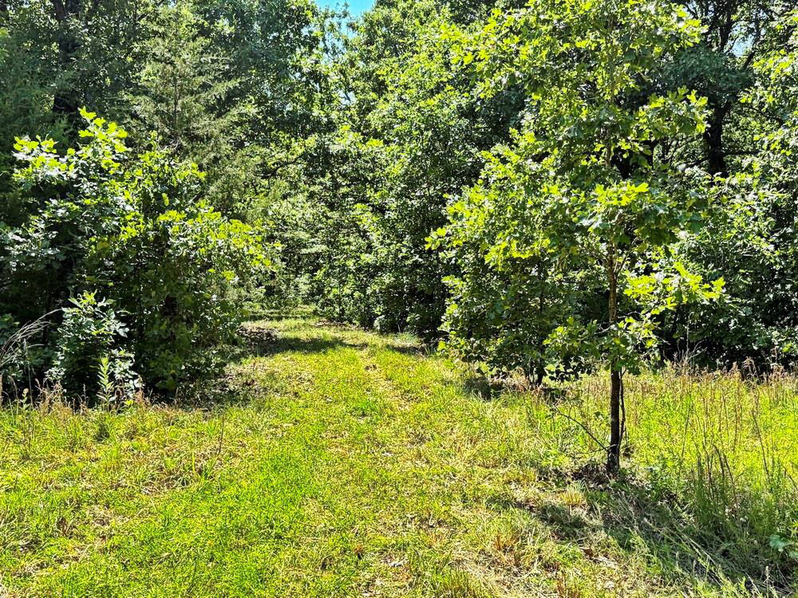
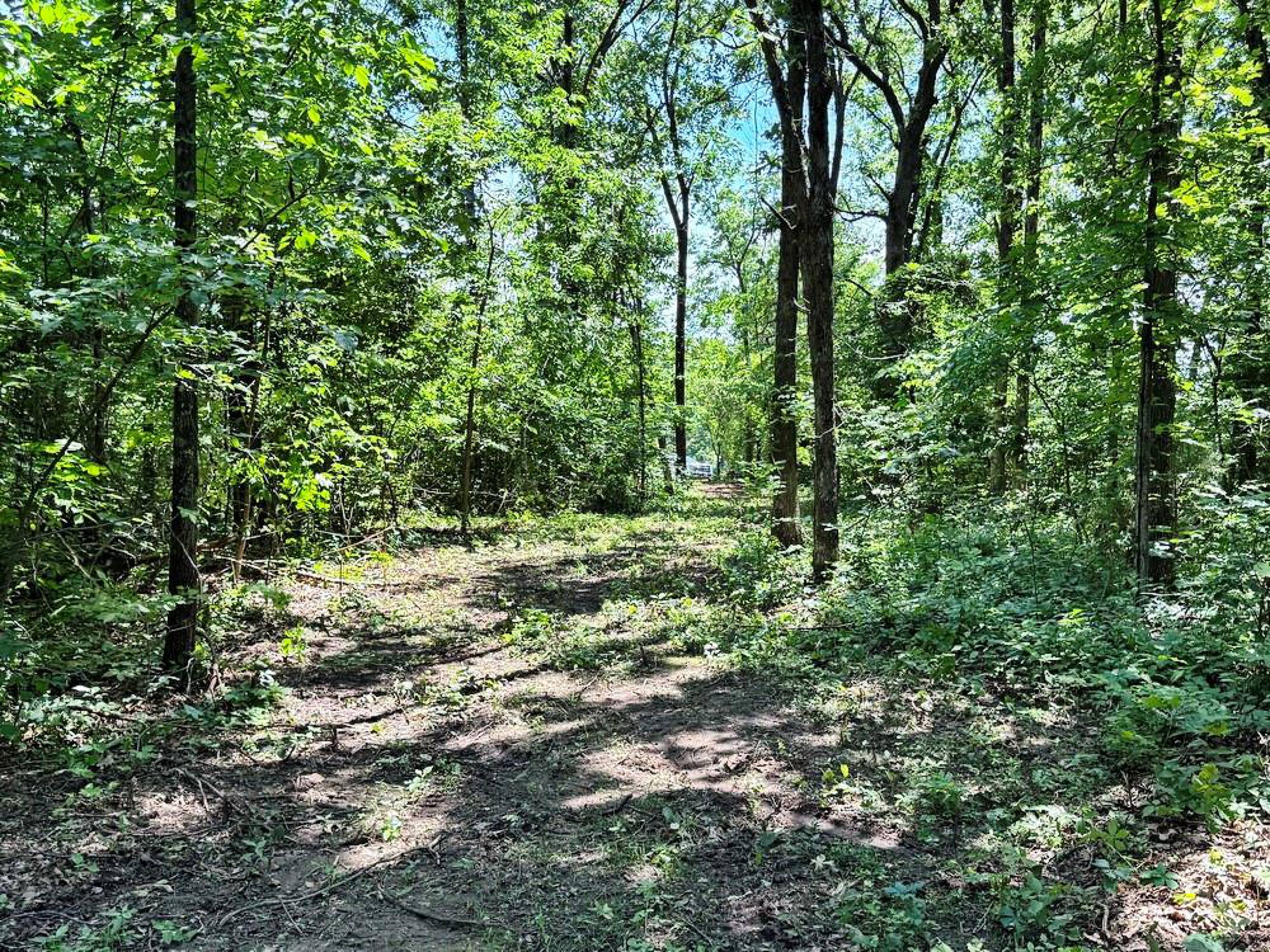
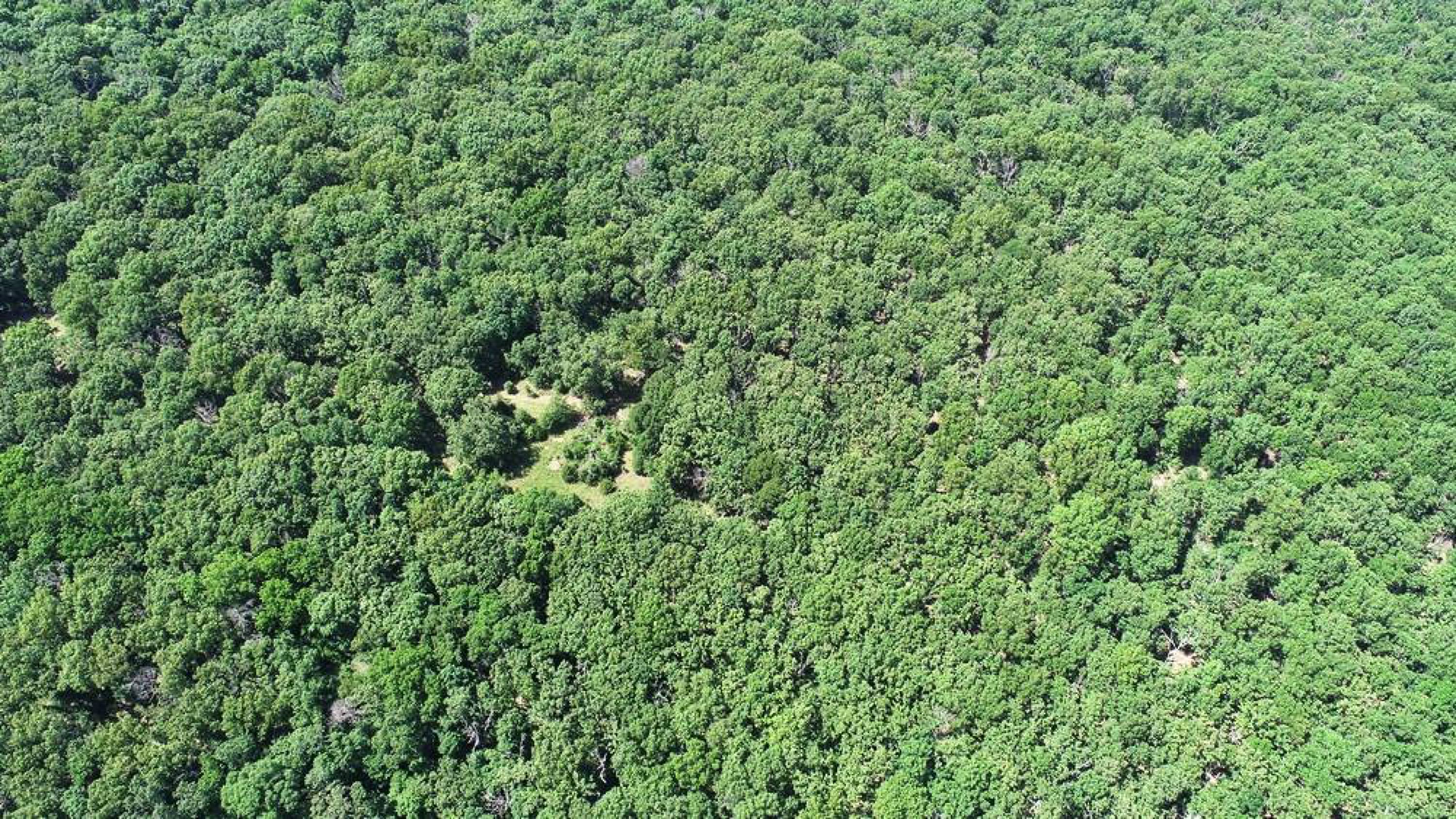
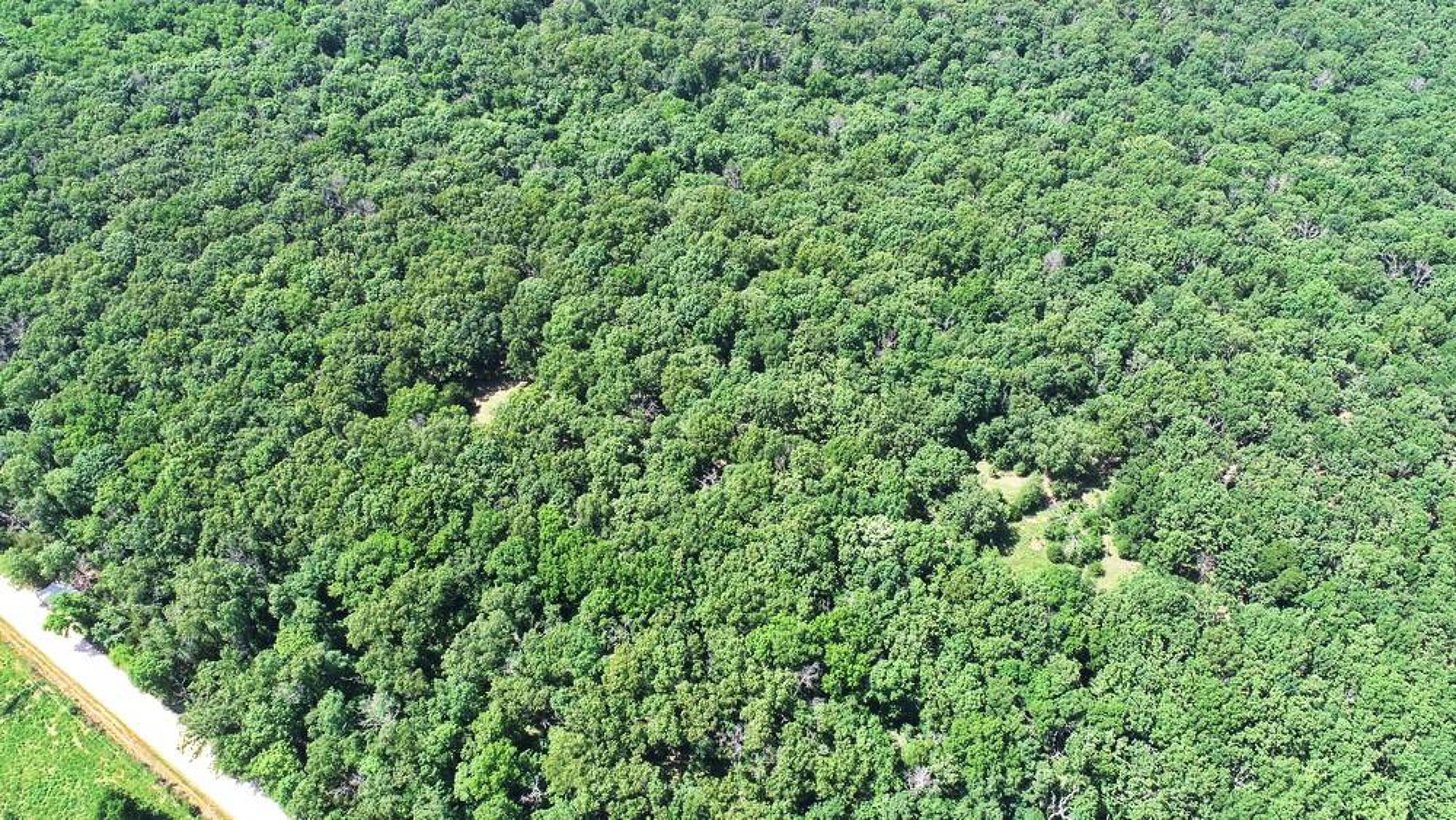
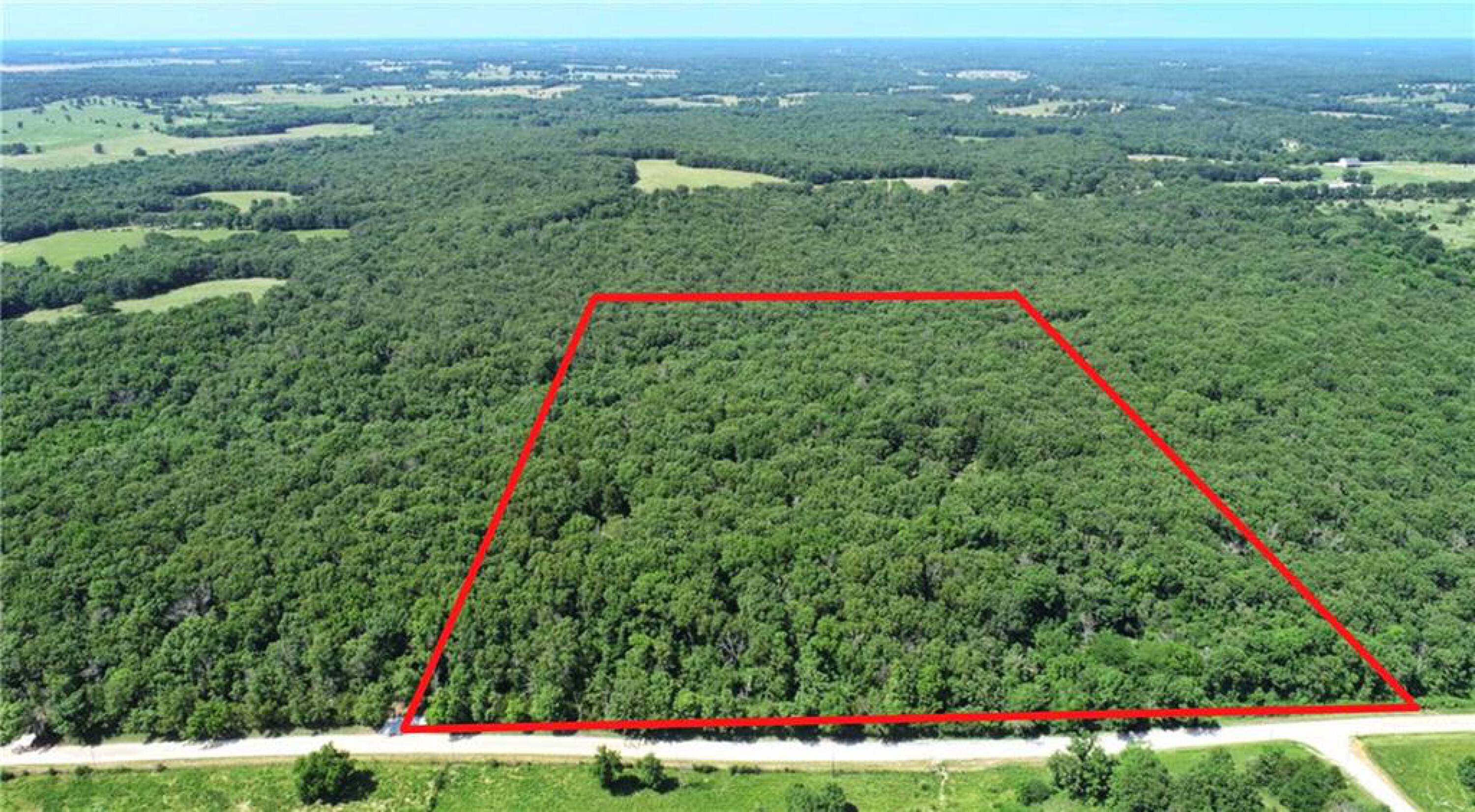
- Fully surveyed 30‑acre wooded tract with meadow in western Cedar County, MO
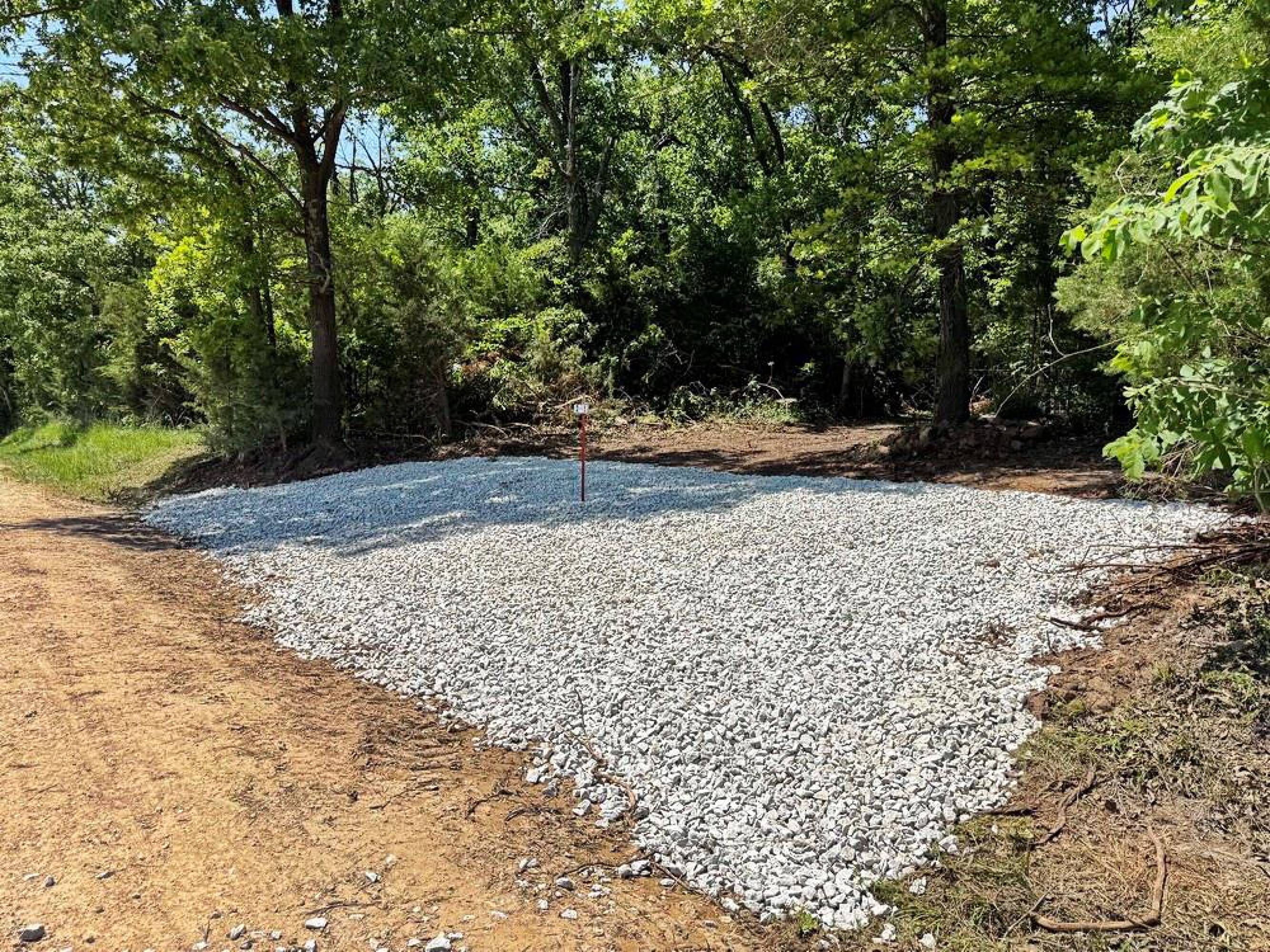
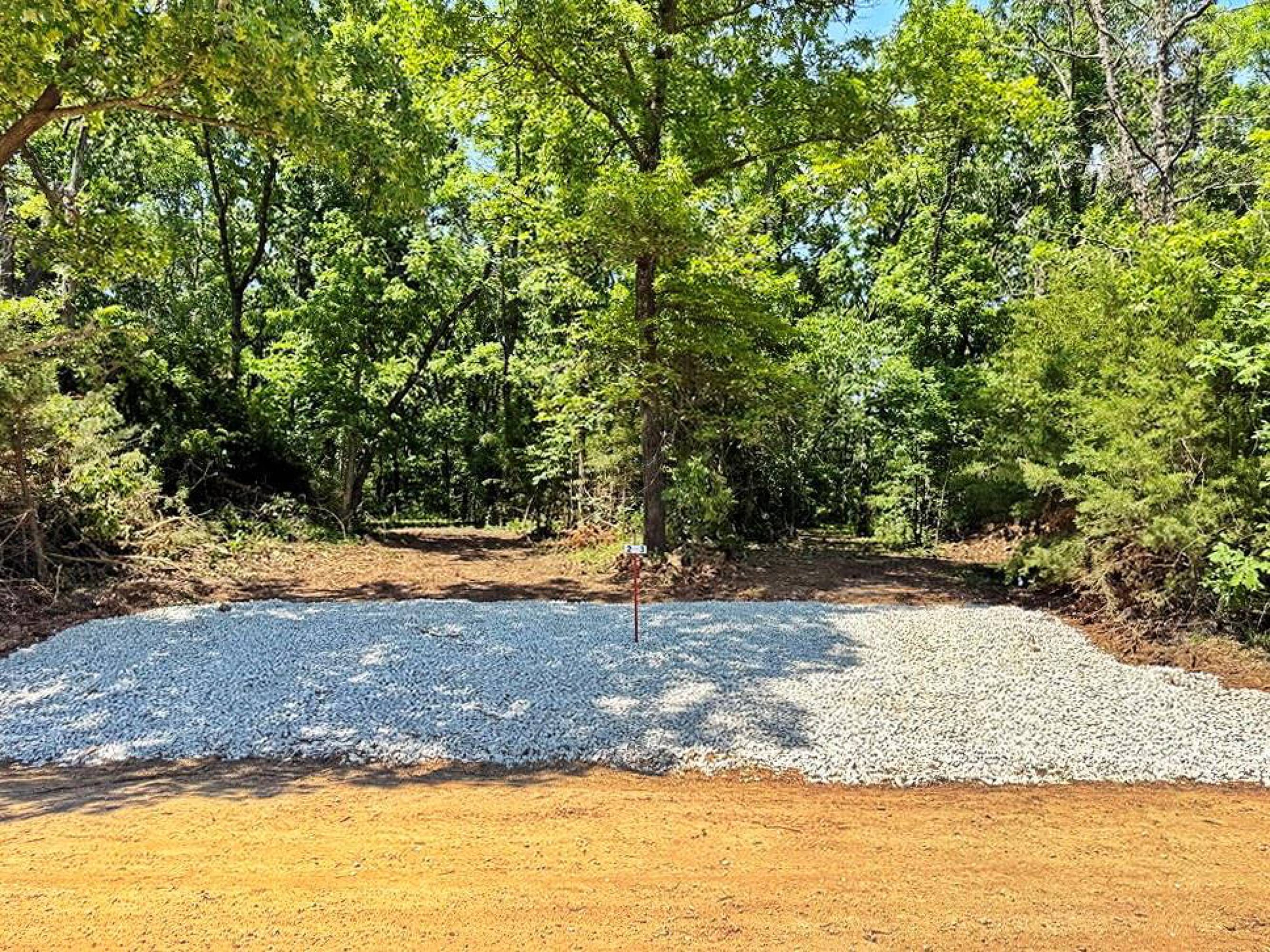
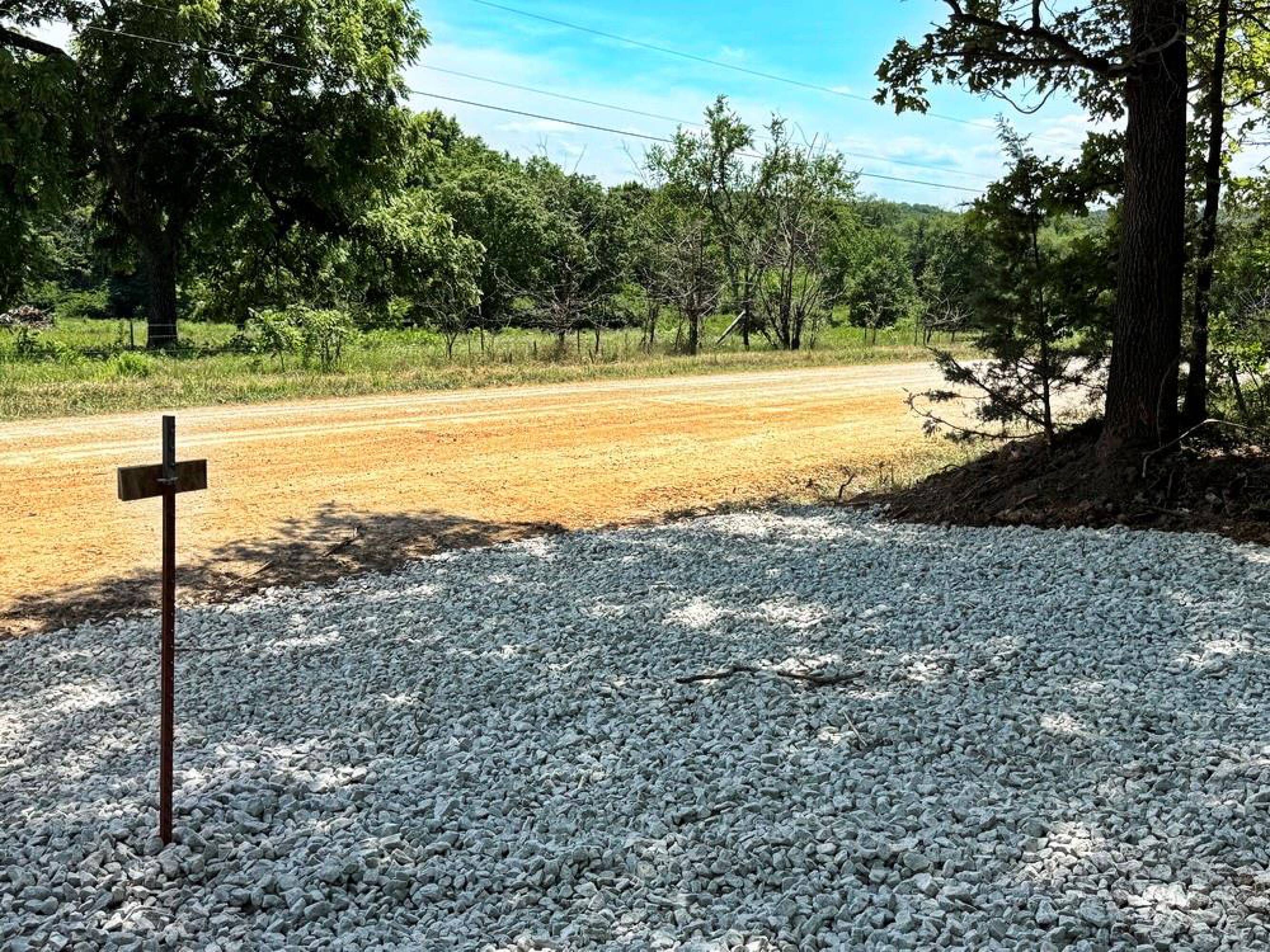
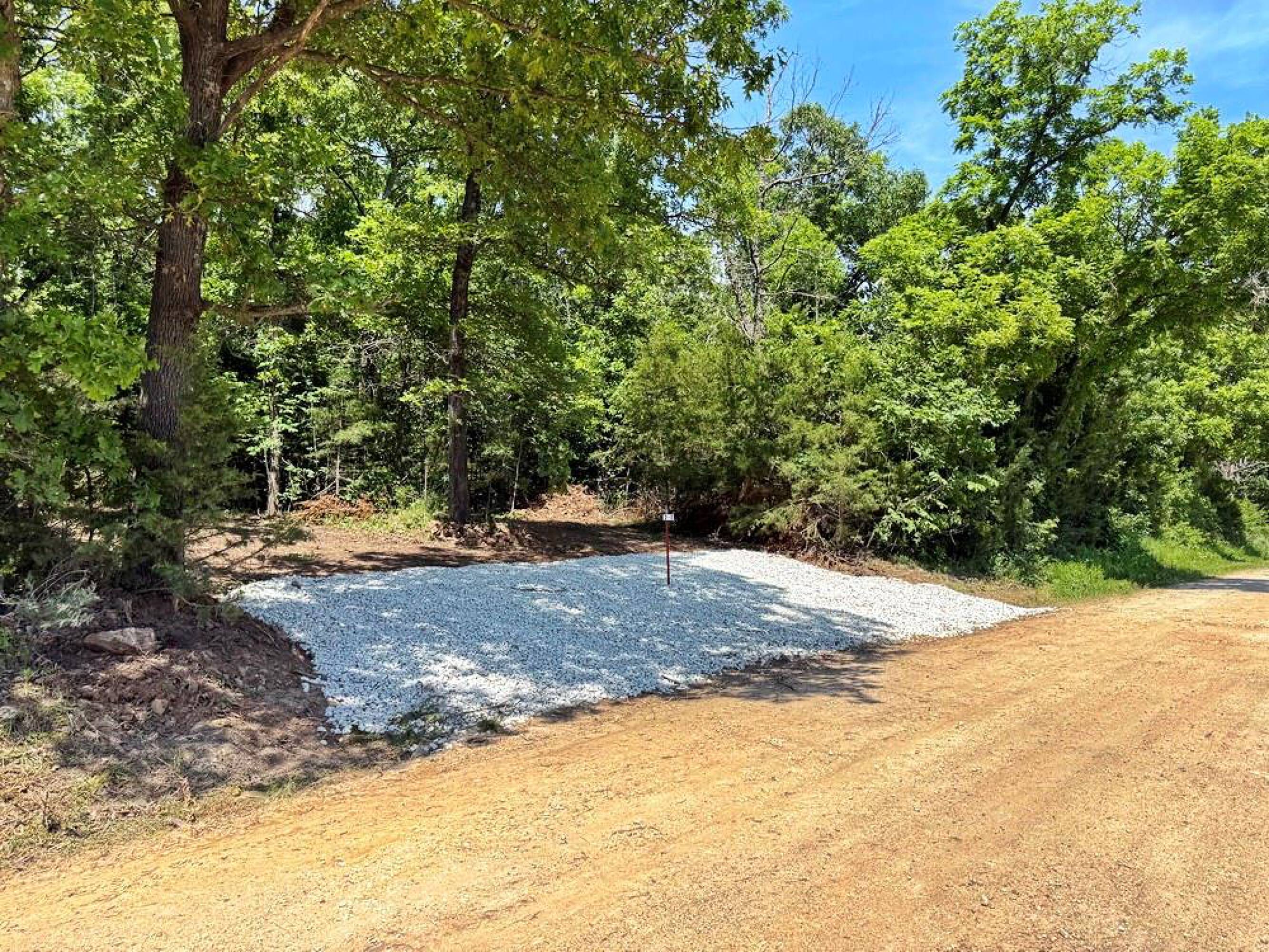
- Road frontage on 1550 Rd with a brand‑new graveled entrance
- Electric and fiber internet along both property boundaries, plus rural water available along 1550 Rd and 425 Rd
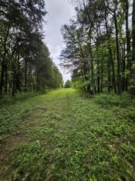
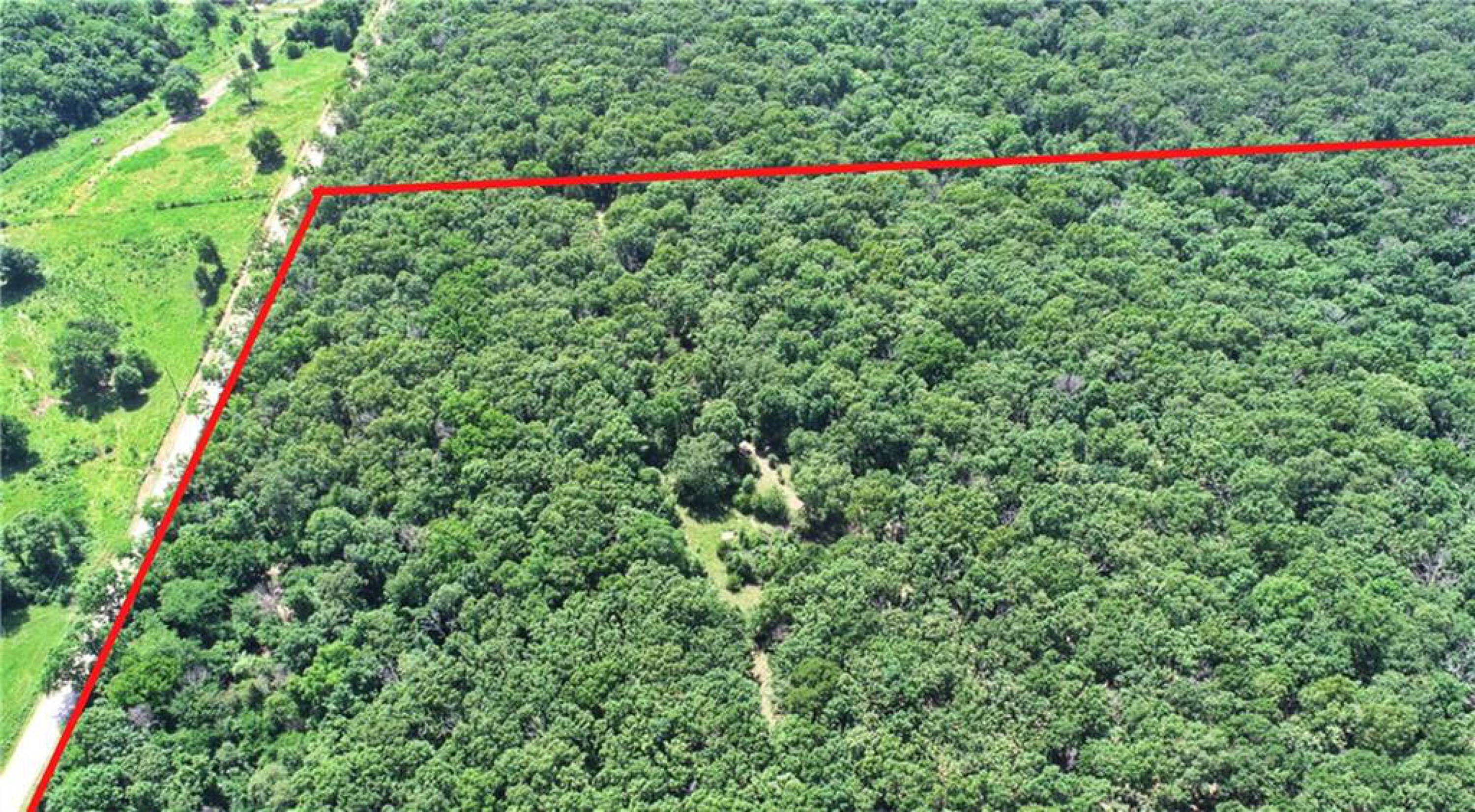
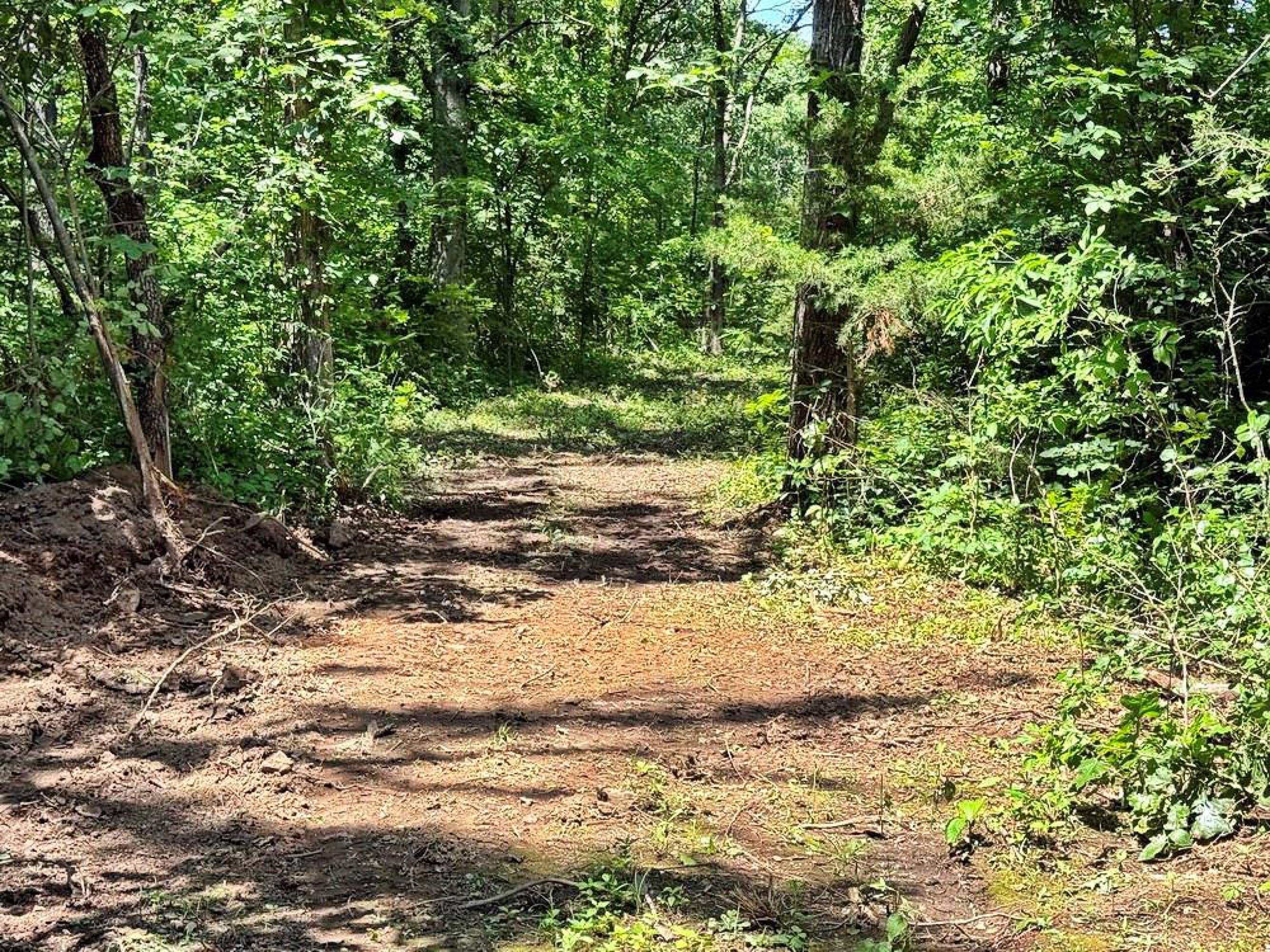
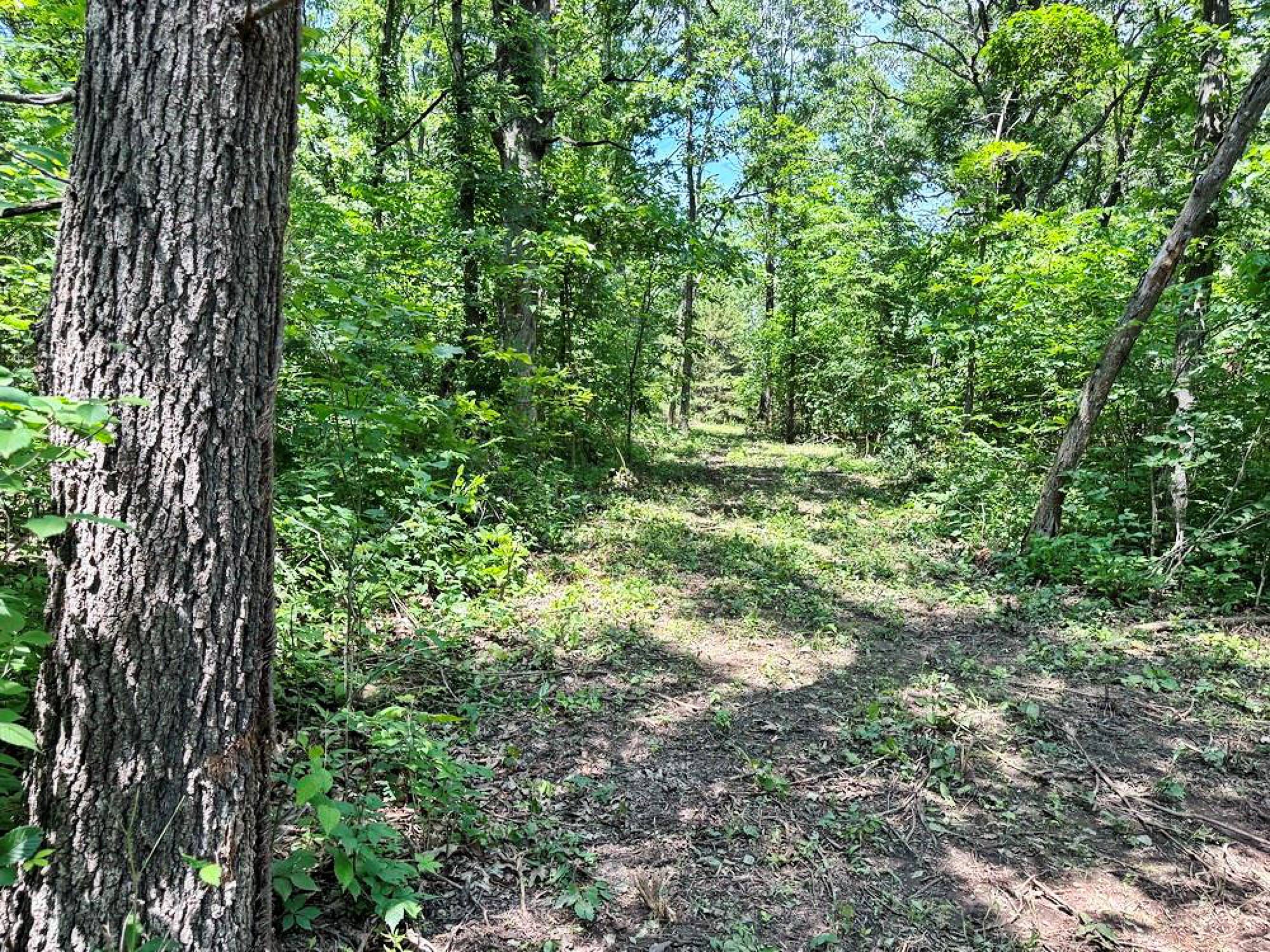
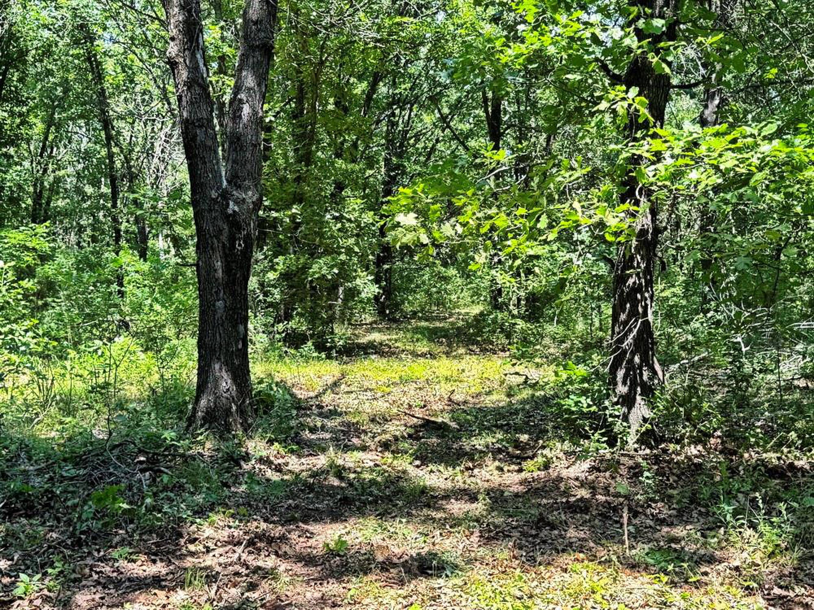
- New trail system provides access throughout the property
- Utility infrastructure already in place along the boundaries, with rural water available—no well mentioned as required
- Located between El Dorado Springs and Jerico Springs, about 15–20 minutes from Stockton Lake
Overview
The land is accessed from road frontage on 1550 Rd, with a utility set already in place along both property boundaries, including electric and fiber internet. Rural water is available along 1550 Rd and 425 Rd. The tract’s layout also supports food plots and interior navigation via the trail network. As a location bonus, the property is within 15–20 minutes of Stockton Lake, offering additional boating, fishing, and hunting opportunities.
For tenants, buyers, or investors looking for recreational acreage, this site offers practical on-site access and established utility availability at the boundaries, reducing the need to bring services in from off-site. The wooded cover and meadow mix can support year-round outdoor use, while the option to build closer to the road or deeper into the property provides flexibility for a range of personal or seasonal setups. Two additional 10-acre tracts are available to the west, and an additional 30-acre tract is available to the east for buyers seeking more acreage.
Current Use by Public Records
Map
- City
- Jerico Springs
- County
- Cedar
- State
- Missouri
- Longitude
- -94.031411
- Latitude
- 37.675239