TBD CR 20, Kimball, NE 69145

- Added:
- Feb 10, 2025
- Days on Market:
- 489
- Last Refresh:
- Jun 14 at 5:06 am
Property Features for TBD CR 20
General Information
- Property type
- Land
- Property subtype
- Other
- Parking features
- Garage
- Standard status
- Active
- Lot size
- 662.34 Acres
Taxes and HOA fees
- Tax Annual Amount
- 2614
Building Details
- Architectural style
- Other
Listing agent Coy Fisher (307) 630-1318
Listing office Whitetail Properties Real Estate, LLC 121 S. Madison St, Pittsfield, NE (217) 285-9000
Listing date Feb 10, 2025
Copyright © 2026 My State MLS. All rights reserved. All information provided by the listing agent/broker is deemed reliable but is not guaranteed and should be independently verified.
HighLights
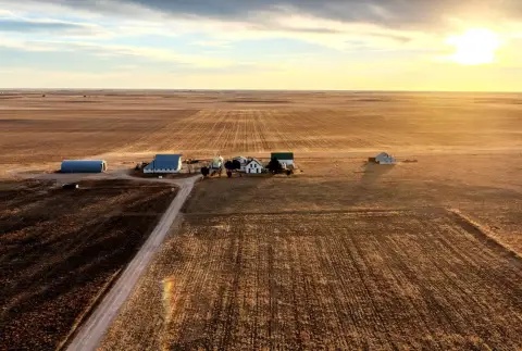
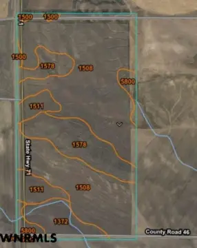
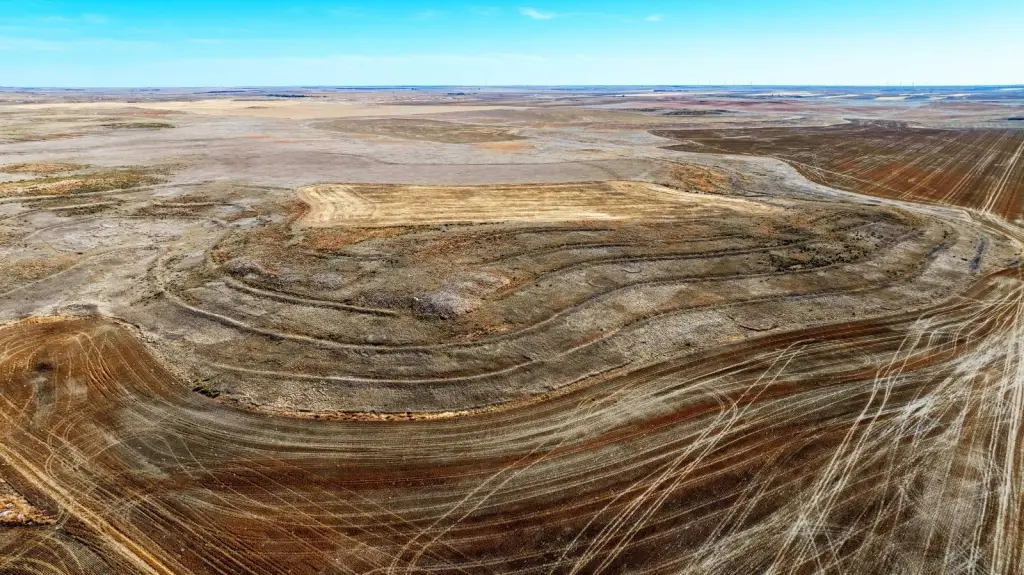
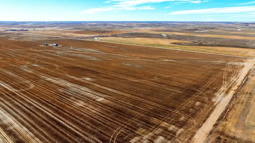
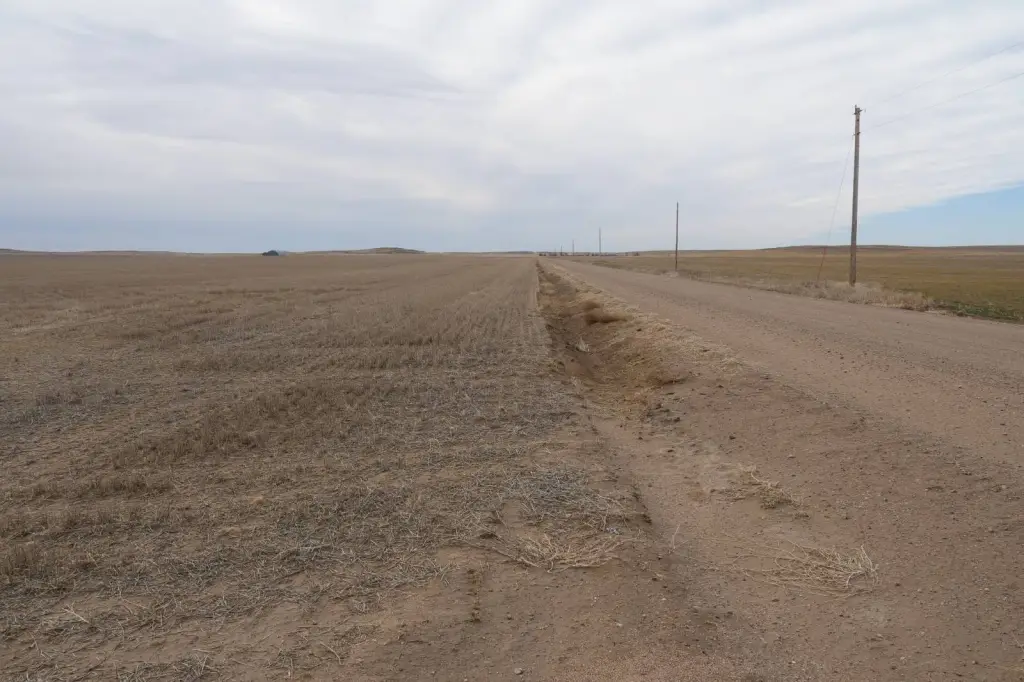
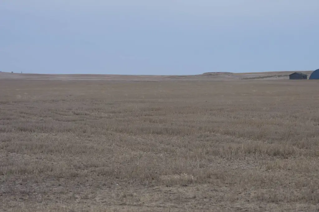
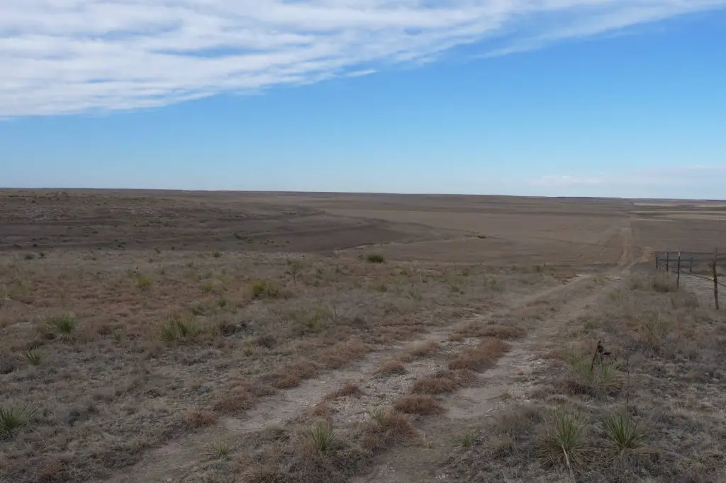
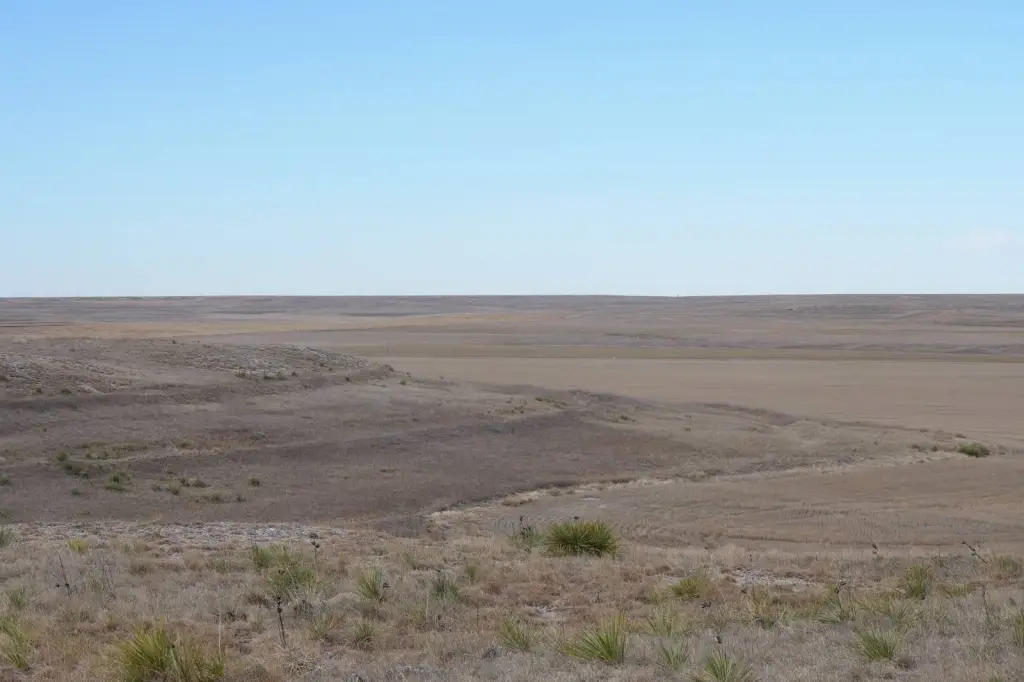
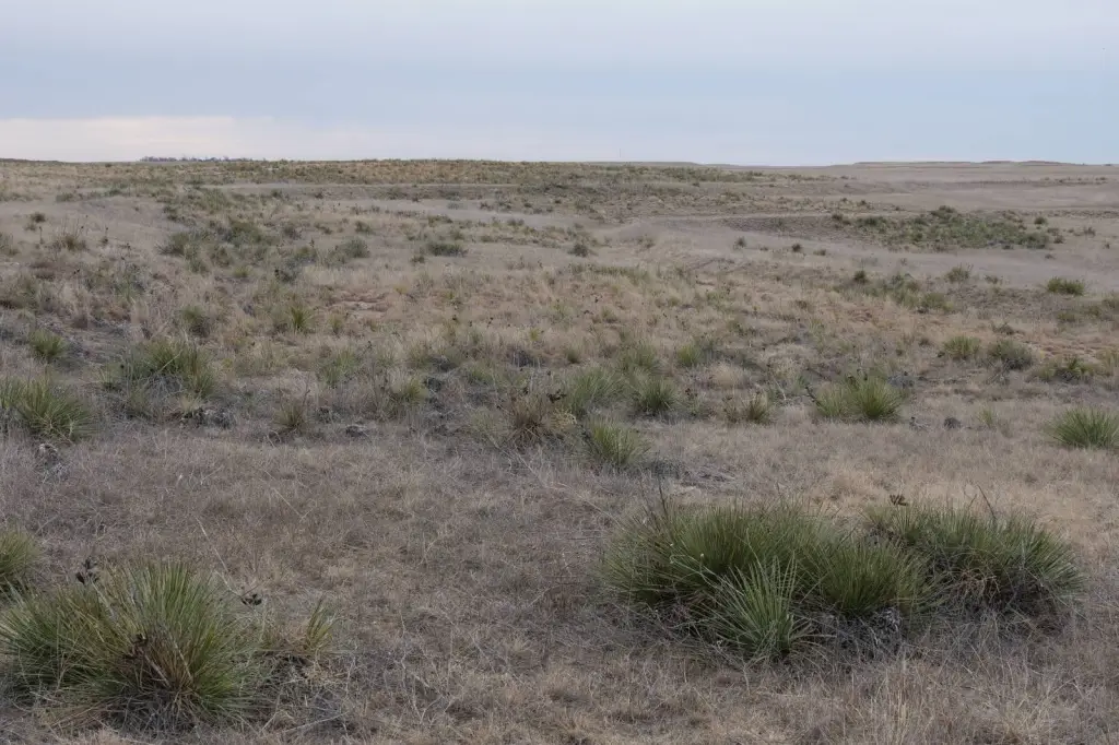
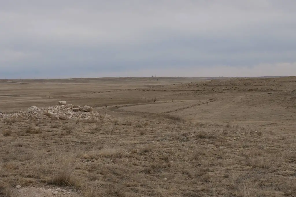
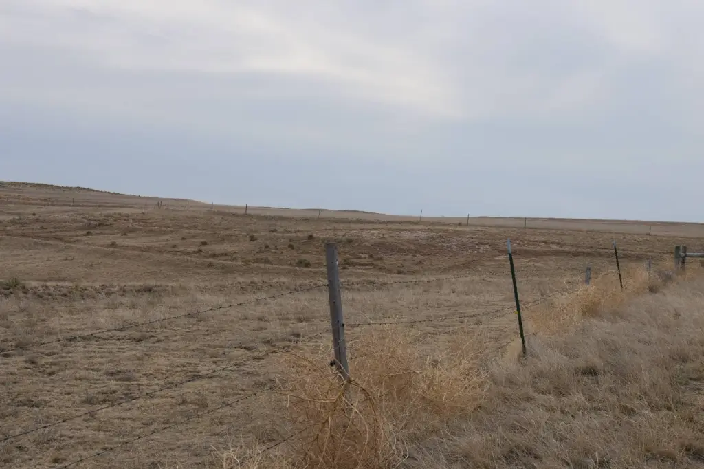
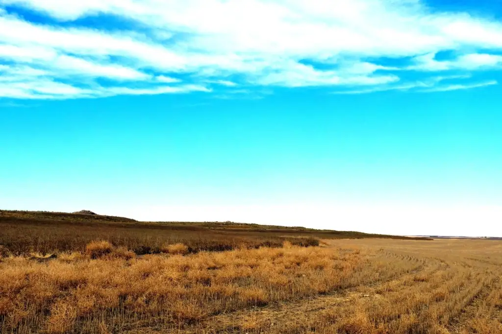
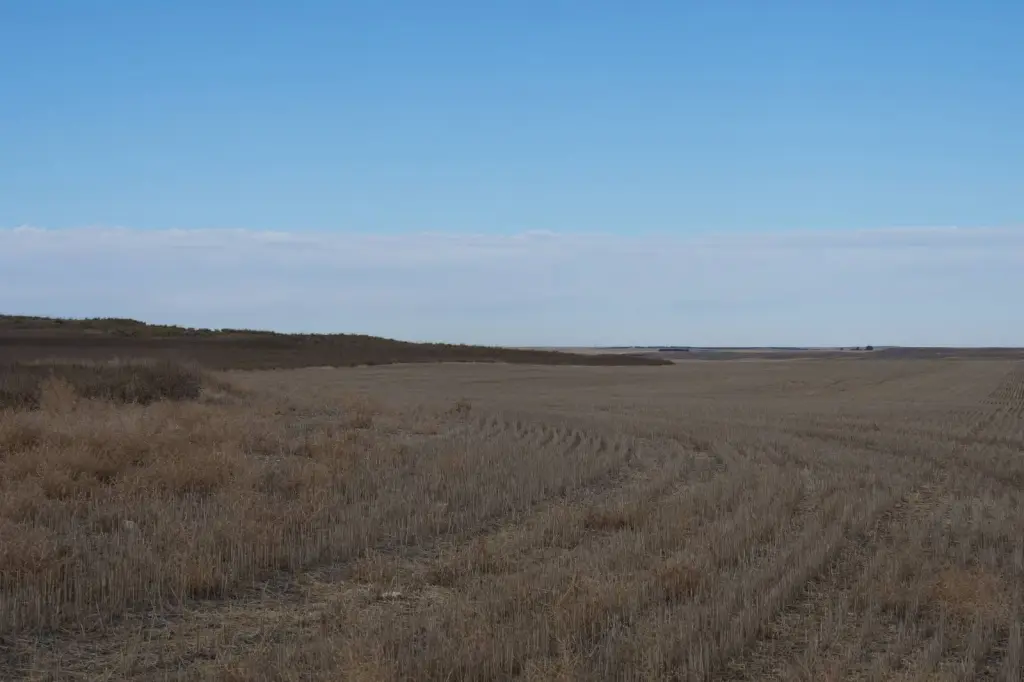
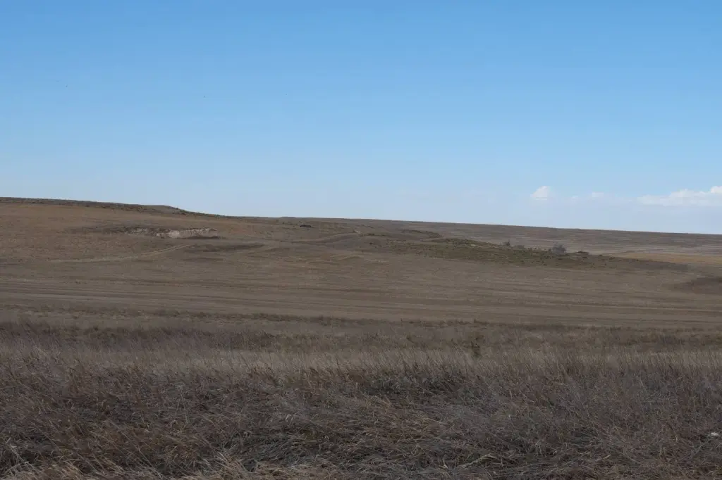
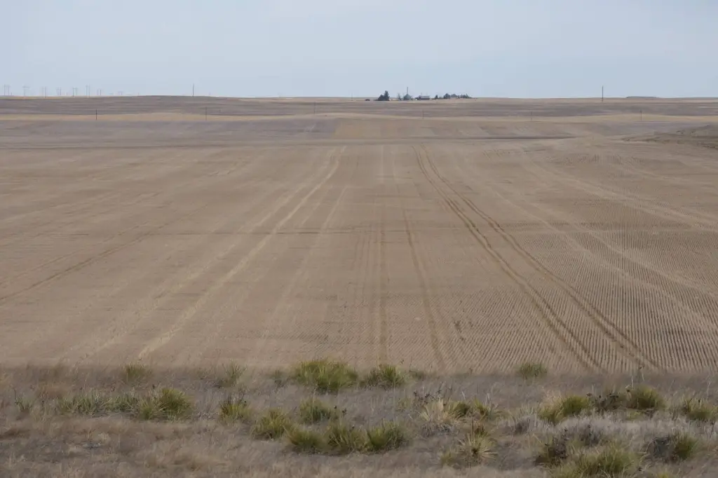
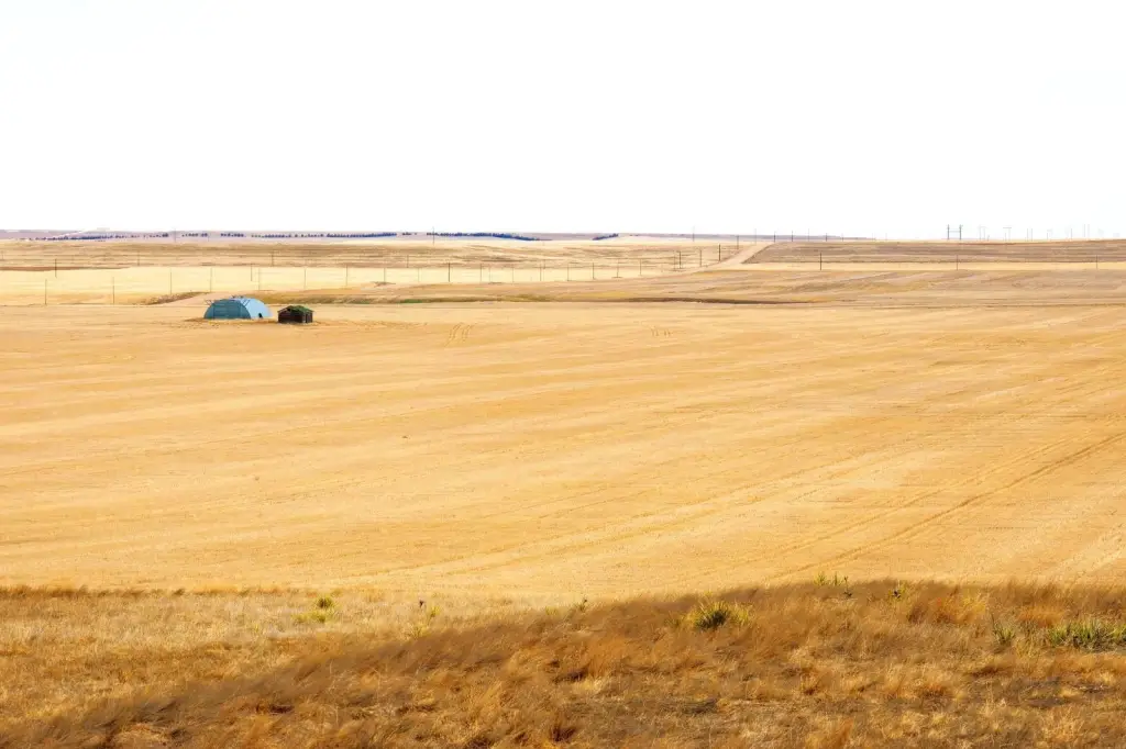
- Full section of land featuring income‑generating CRP and tillable cropland.
- 220.12 acres enrolled in CRP until 2036, generating $3,302.00 annually.
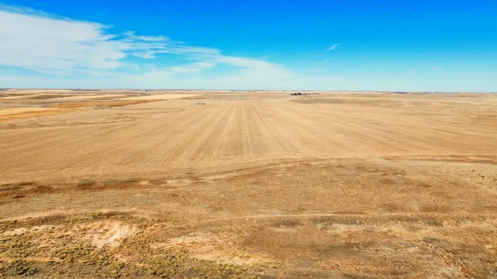
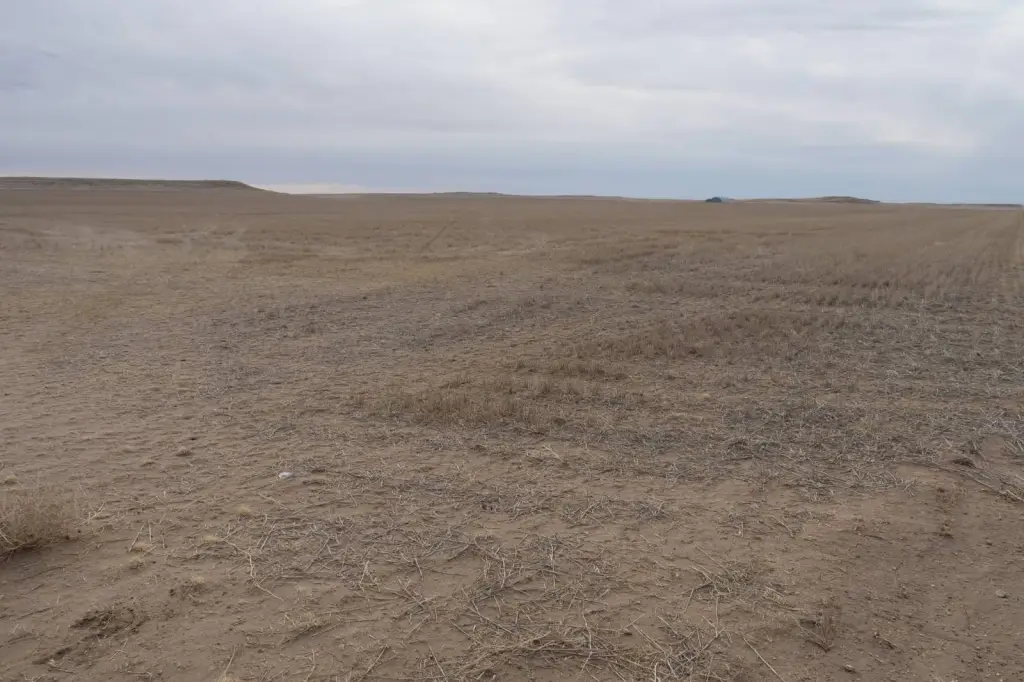
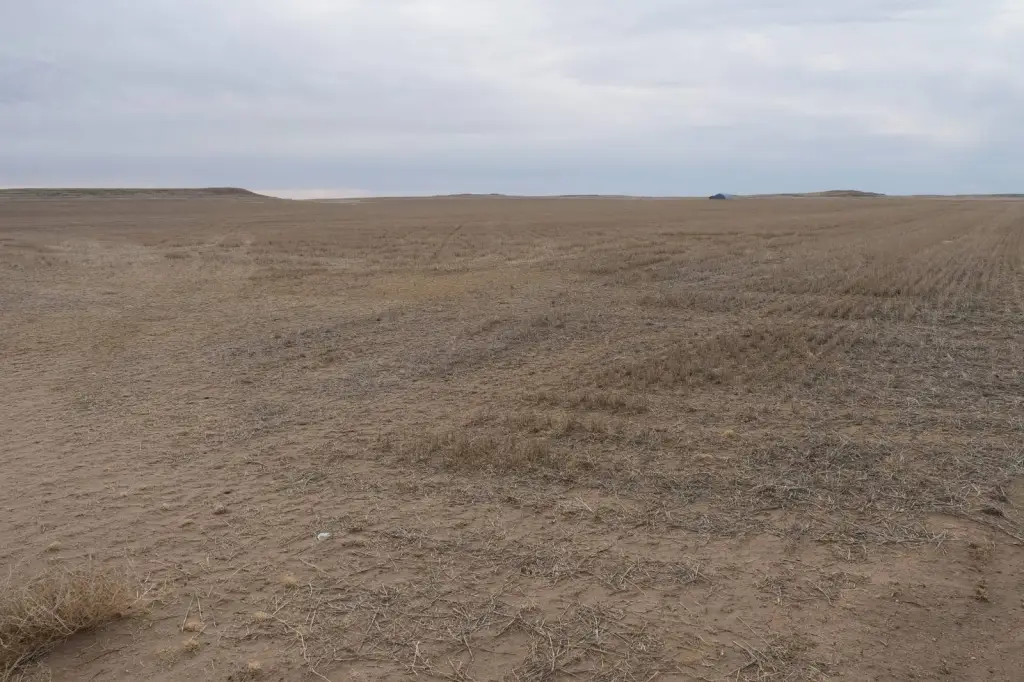
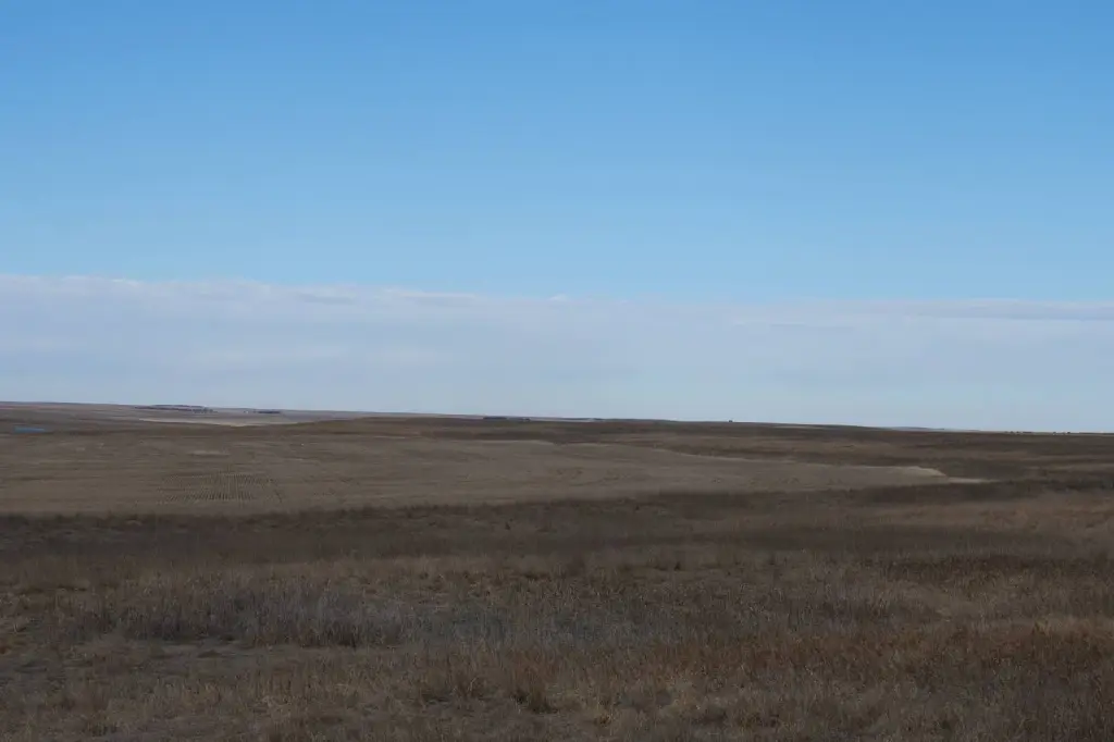
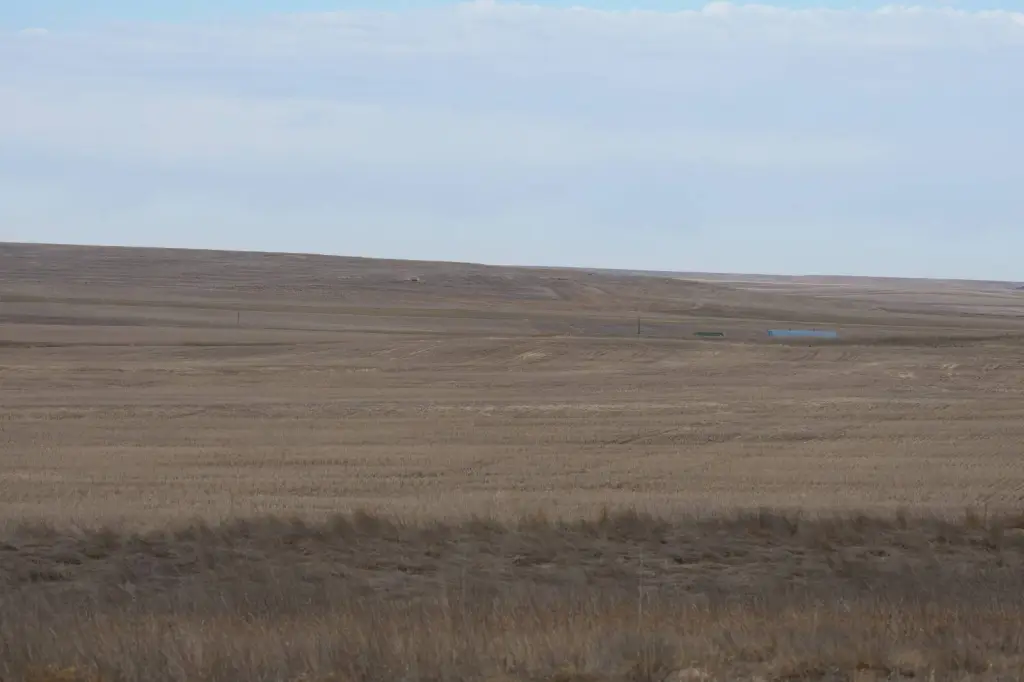
- 350.82 acres of tillable ground with Class II soils and good yield history.
- Includes farm data with base acres and PLC yields for Wheat, Oats, and Barley.
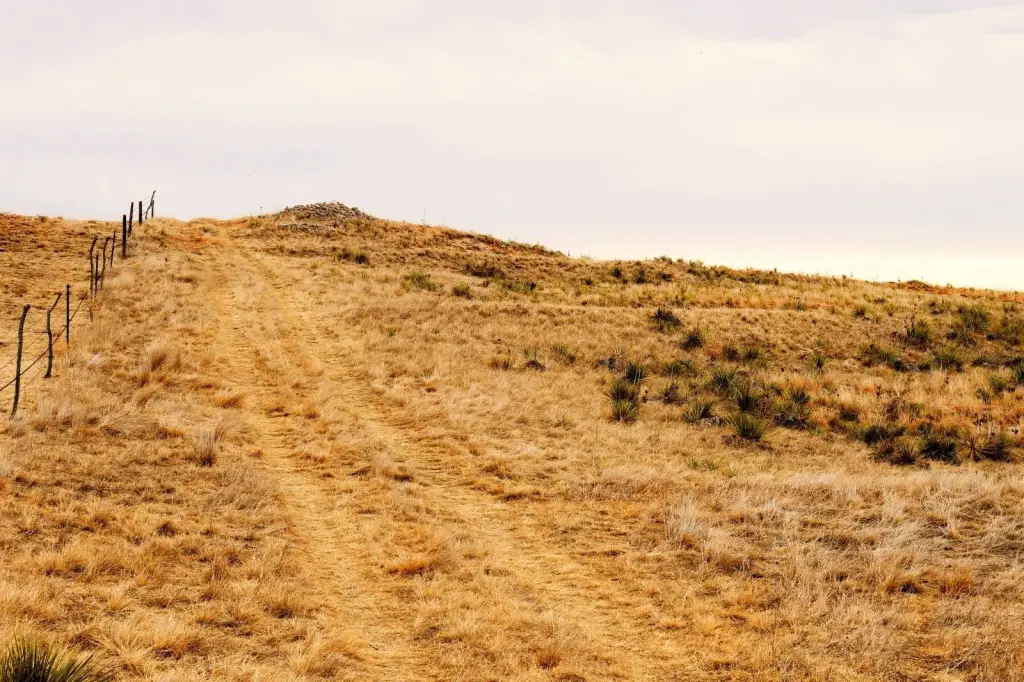
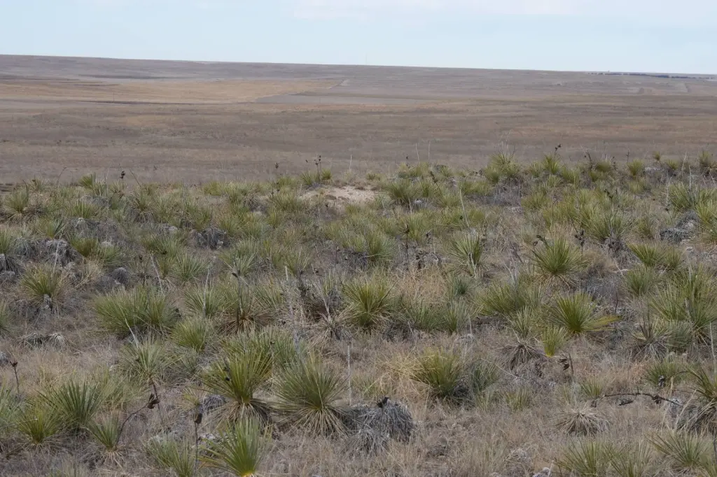
- Hunting opportunities for antelope, mule deer, and sharptail grouse.
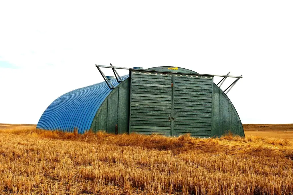
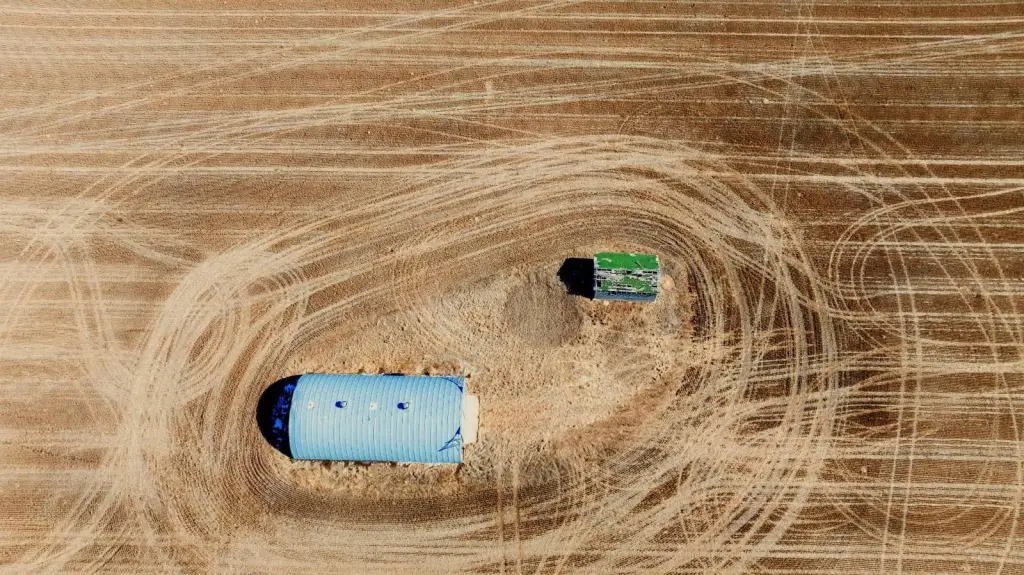
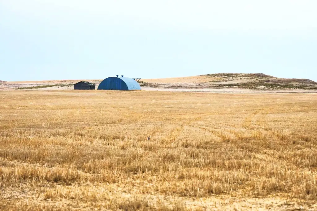
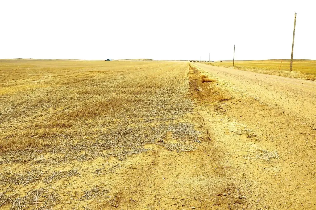
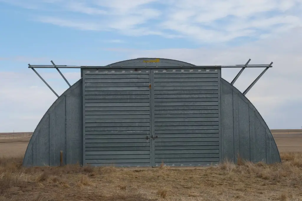
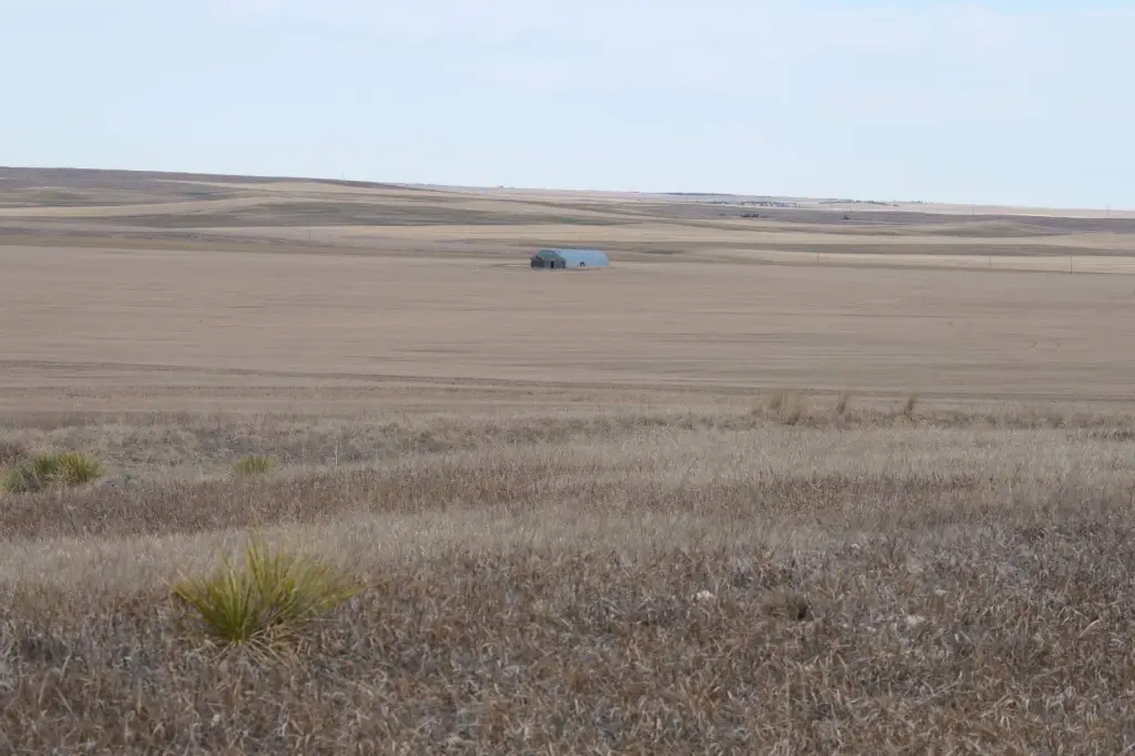
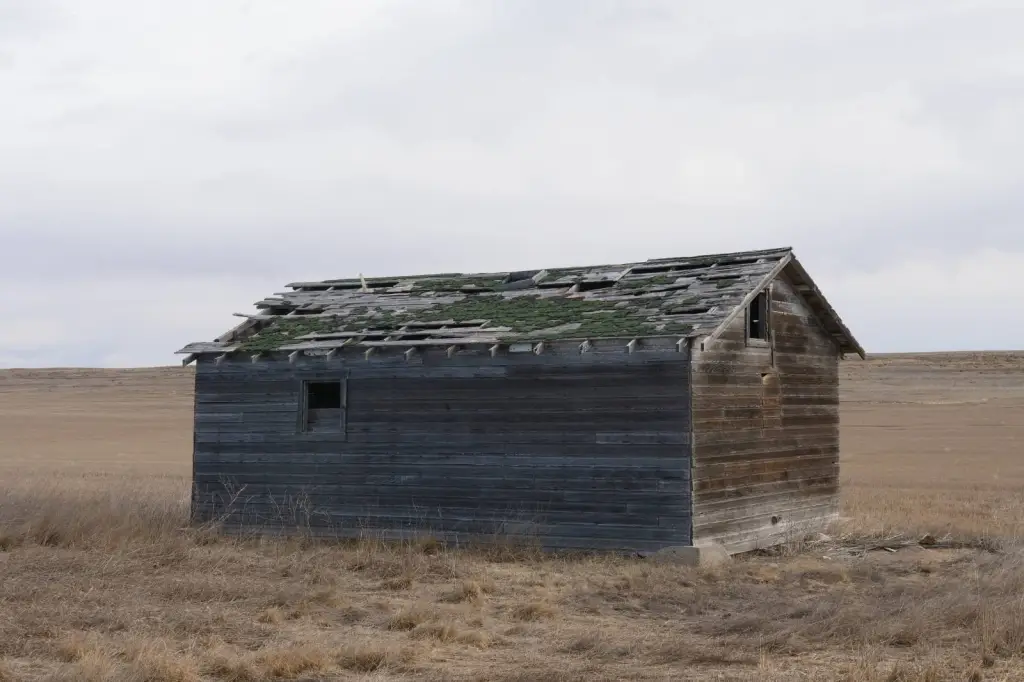
- Metal Quonset building for equipment storage and power access along CR 29W.
Overview
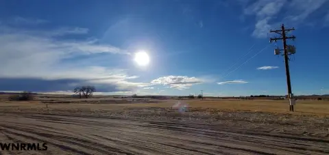
Located in south Kimball County, Nebraska, the tract is described as a short distance to Kimball, Nebraska and Interstate I-80. The listing also notes bedding areas within the CRP that are left alone from grazing or haying.
For operators and investors, mineral and pore space rights transfer with the sale. The property is also described as having an existing carbon pore space lease, with one payment remaining to be paid to the new buyer, and a farm lease currently in place. Recreational opportunities are described for antelope, mule deer, and sharptail grouse, with occasional pheasant, and the southeast hilltop is highlighted as a vantage point for observing wildlife.
Current Use by Public Records
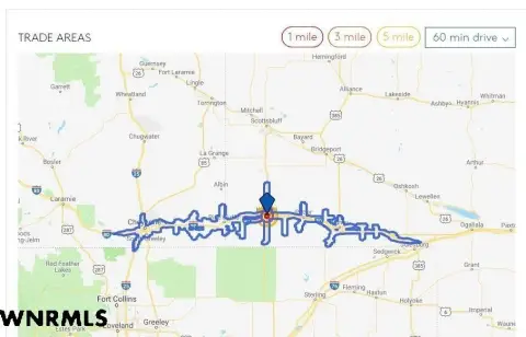
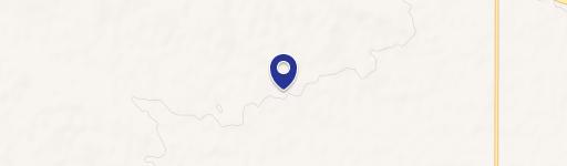
Map
- City
- Kimball
- County
- Kimball
- State
- Nebraska
- Longitude
- -103.678
- Latitude
- 41.1975