Summit Drive, Summit, MS 39666
- Added:
- Jun 23, 2026
- Days on Market:
- 6
- Last Refresh:
- Jun 28 at 8:06 pm
Property Features for Summit Drive
General Information
- Property type
- Land
- Property subtype
- Other
- Standard status
- Active
- APN
- 75-8-33-022
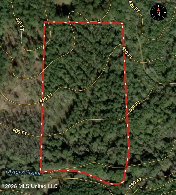
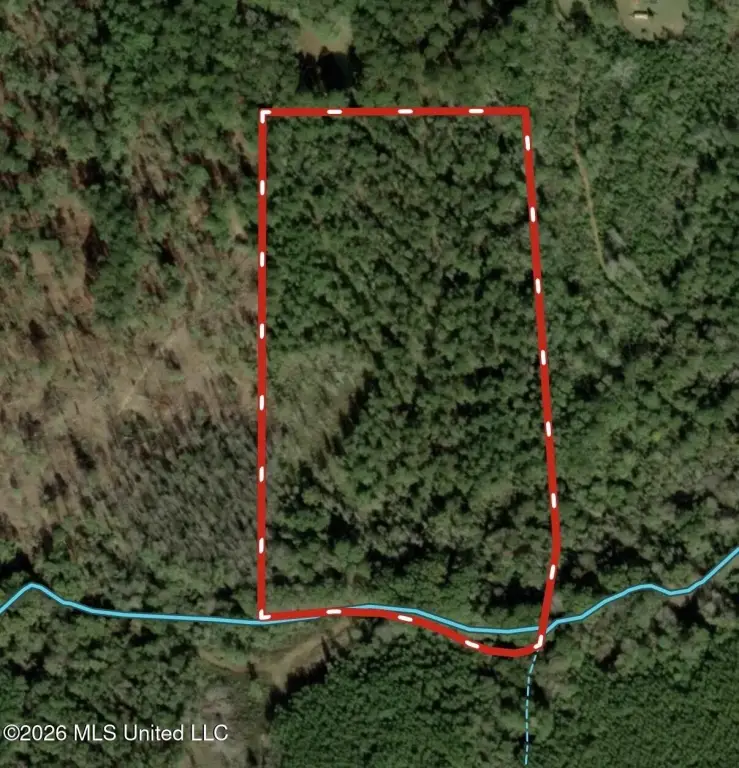
- Lot size
- 16.00 Acres
Taxes and HOA fees
- Tax Year
- 2024
- Tax Description
- 16 ACS IN E1/2 OF W1/2 OF SE1/4 N OF CRK AS PER DB 628 PG 596 7/96 B 1176 P 0103 12/19/2003
- Tax Annual Amount
- 62
Listing agent Blake Sasser License #S-52540 (601) 757-5027
Listing office Southern Oaks RE Properties LLC 105 Mullens Drive Ste A, Brookhaven, MS (601) 927-2942
Listing date Jun 23, 2026
Copyright © 2026 MLS United. All rights reserved. All information provided by the listing agent/broker is deemed reliable but is not guaranteed and should be independently verified.
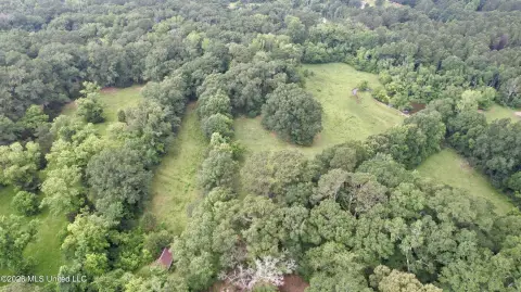
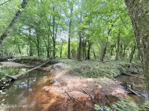
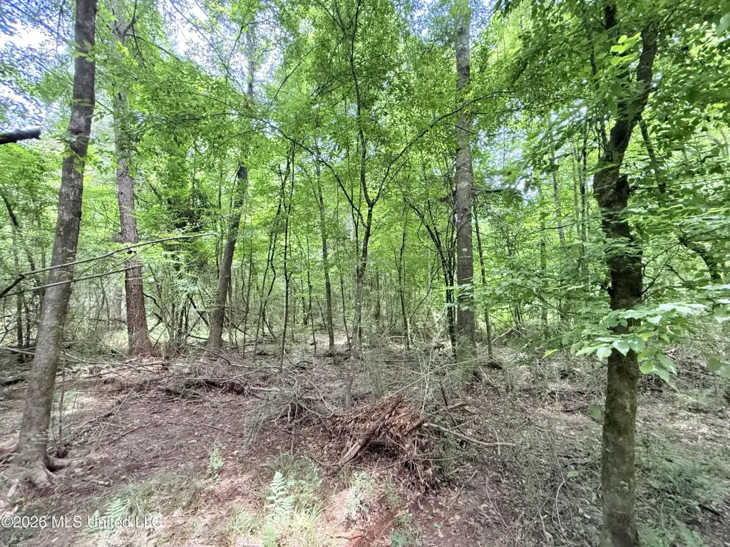
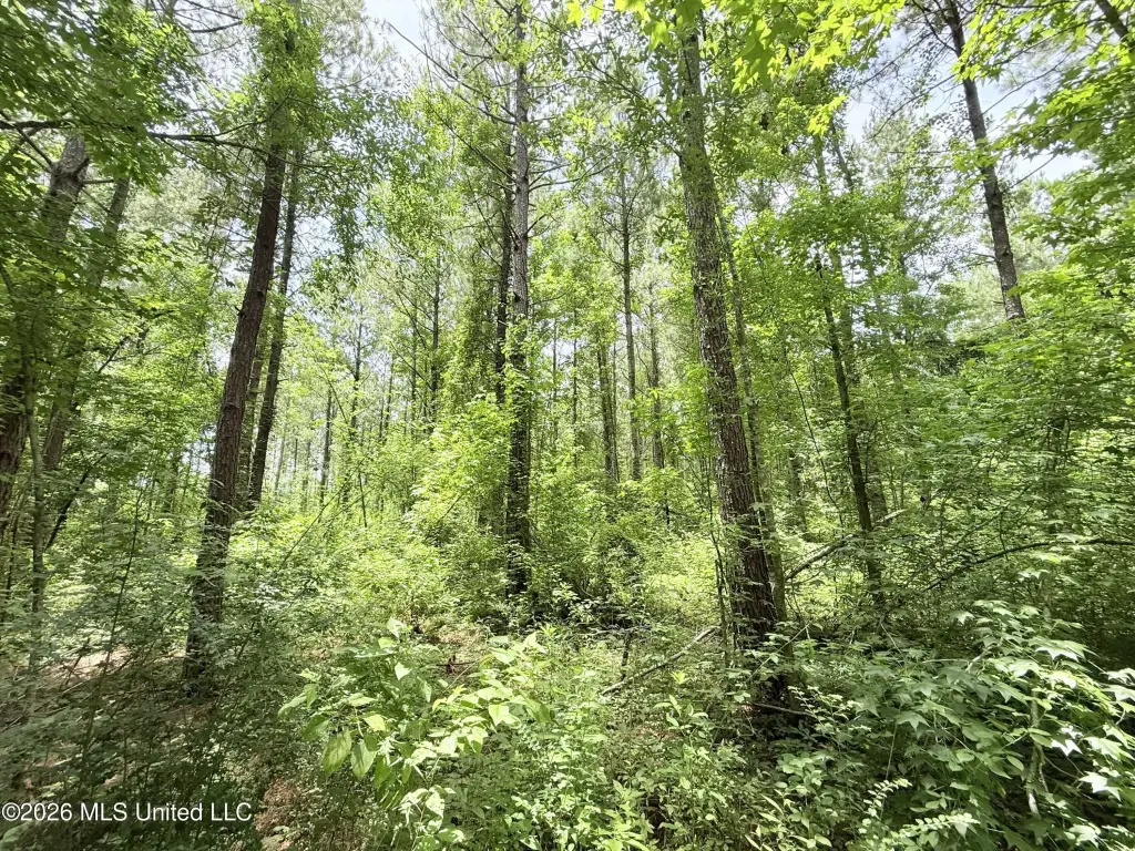
HighLights
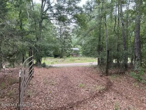
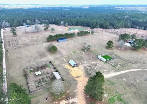
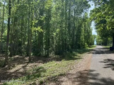
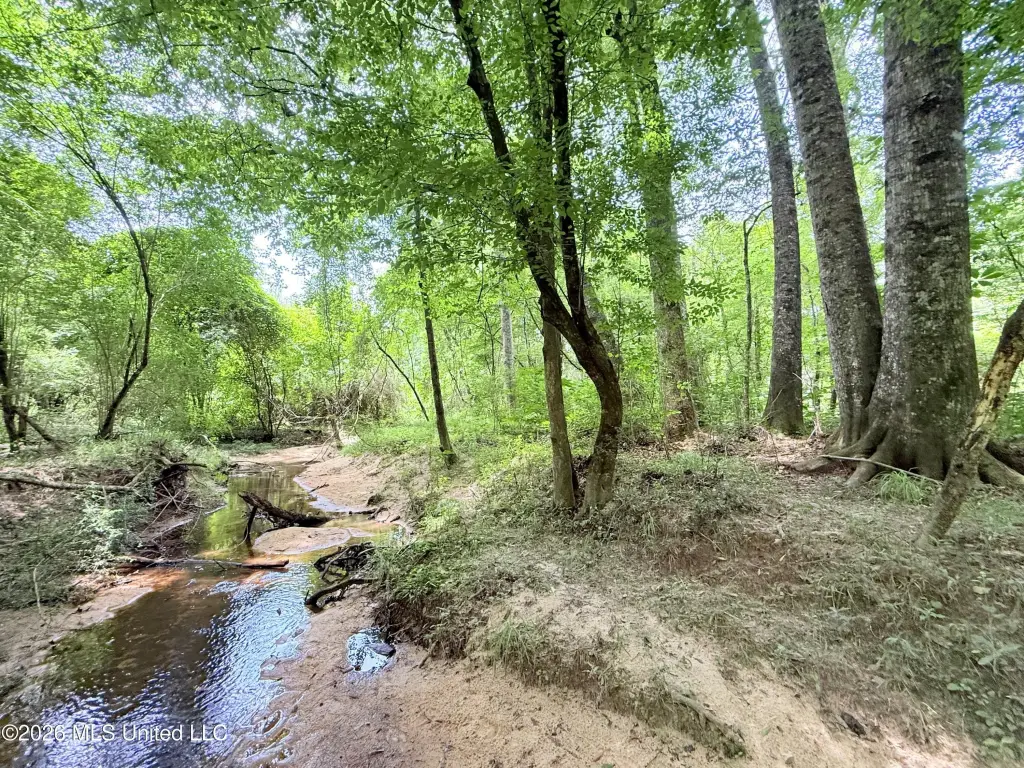
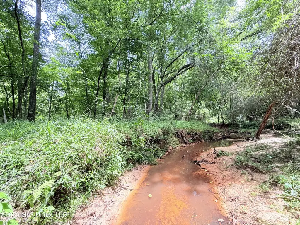
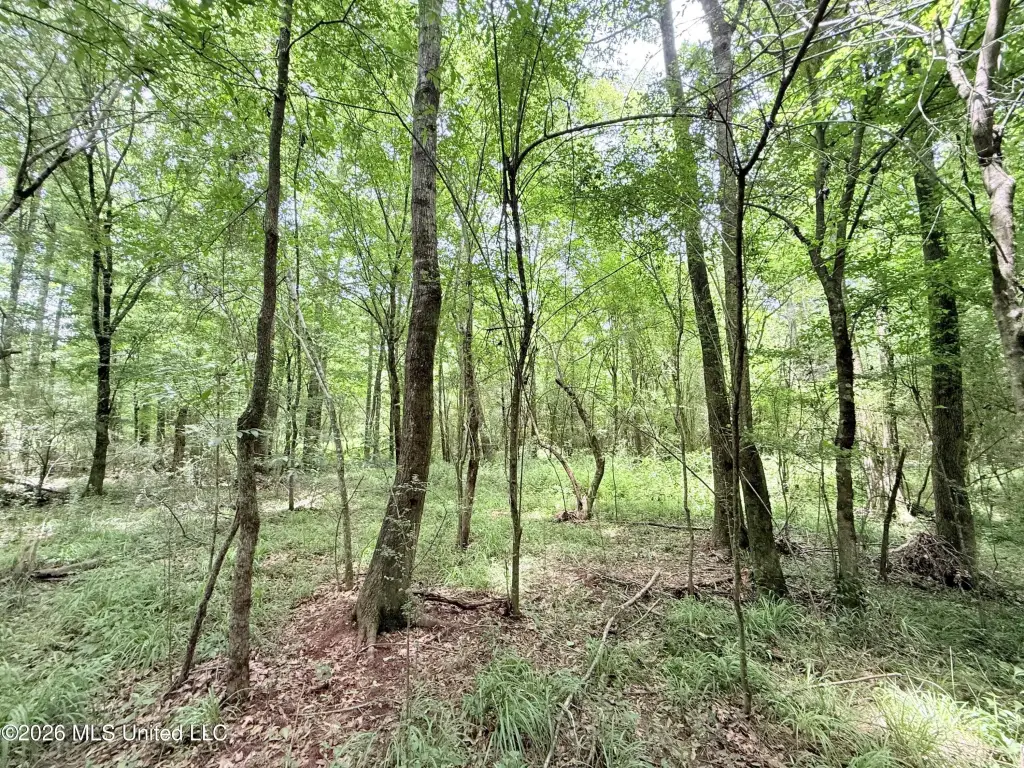
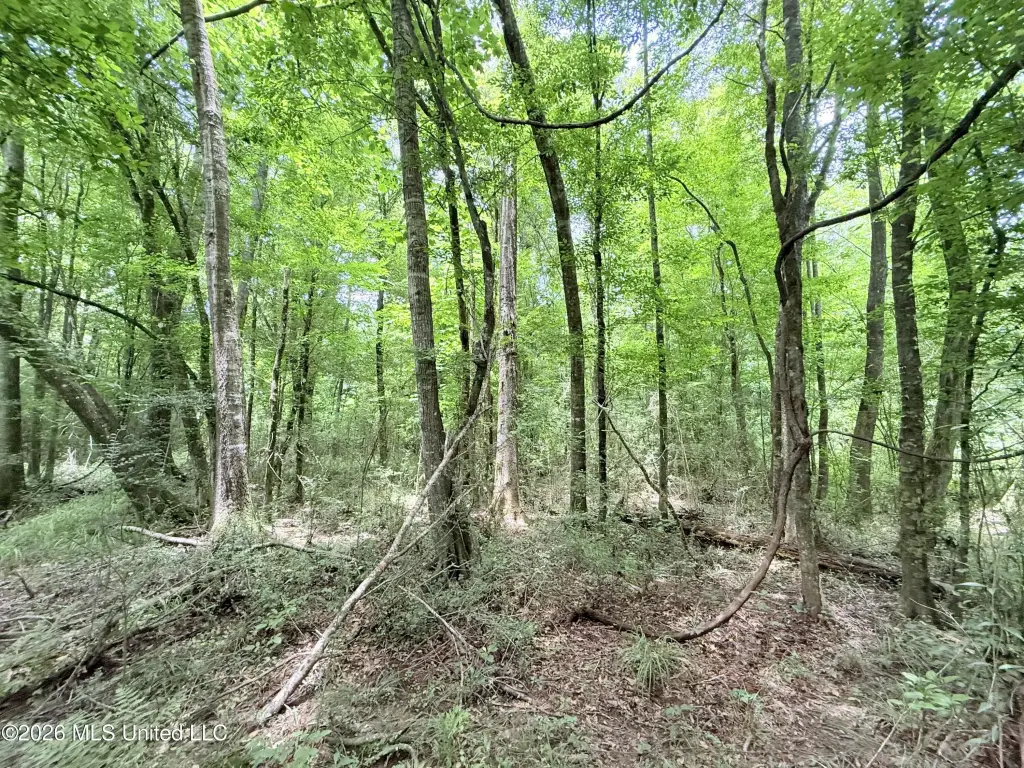
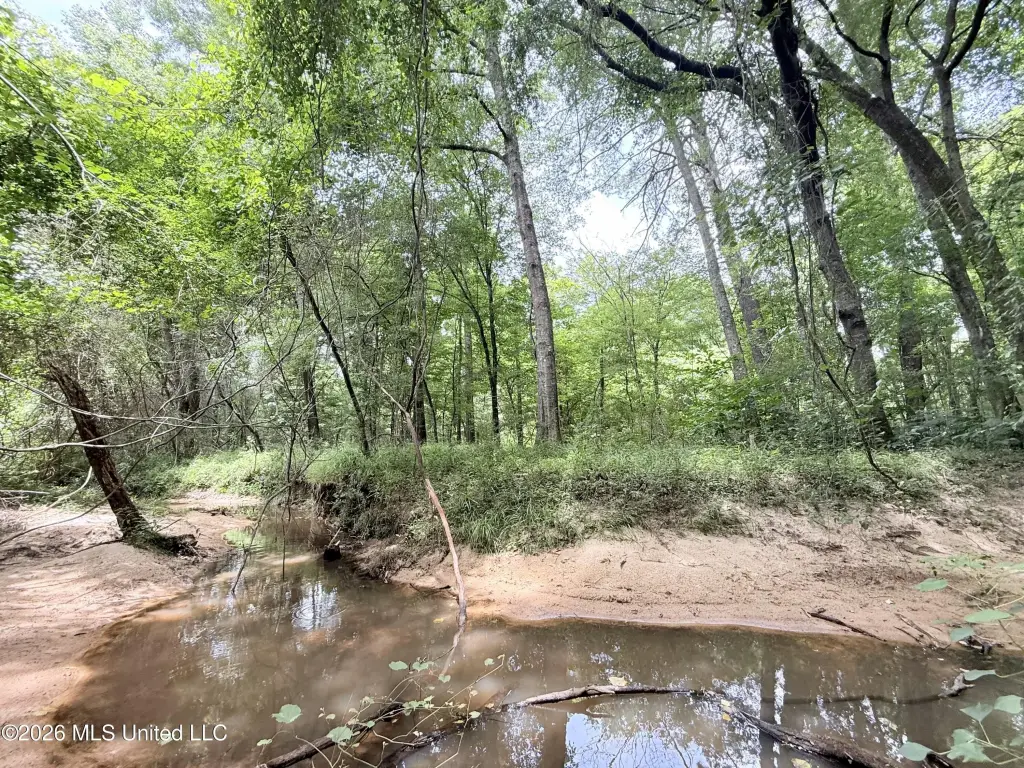
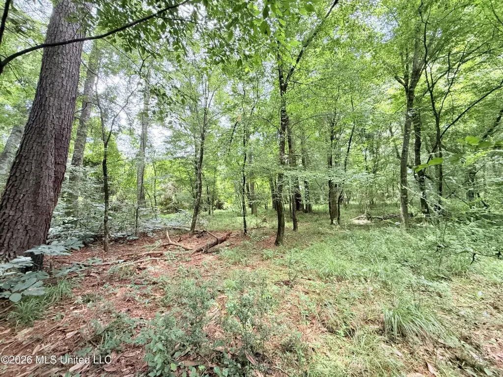
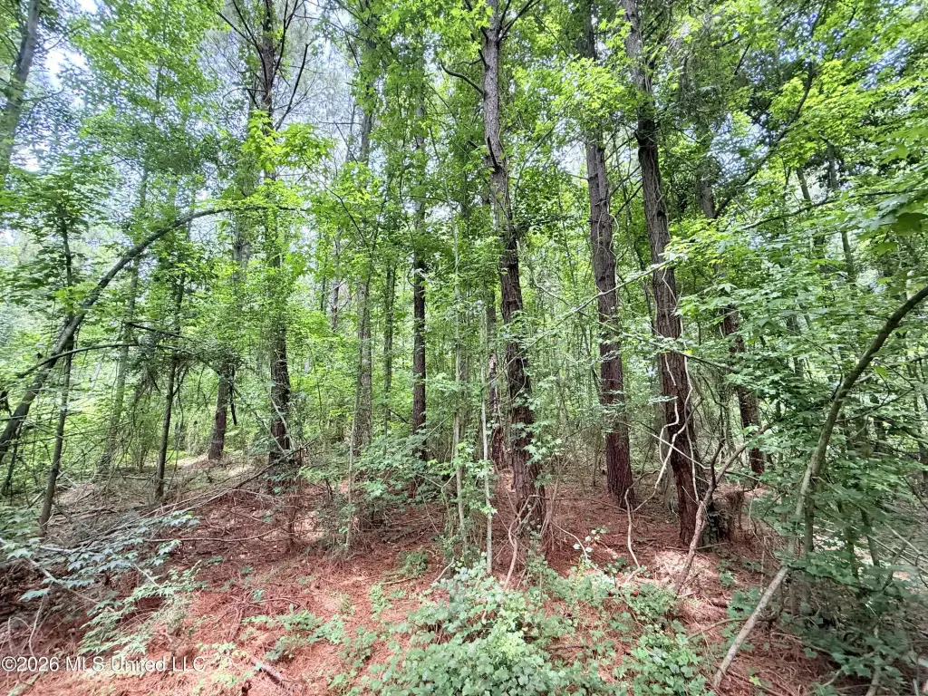
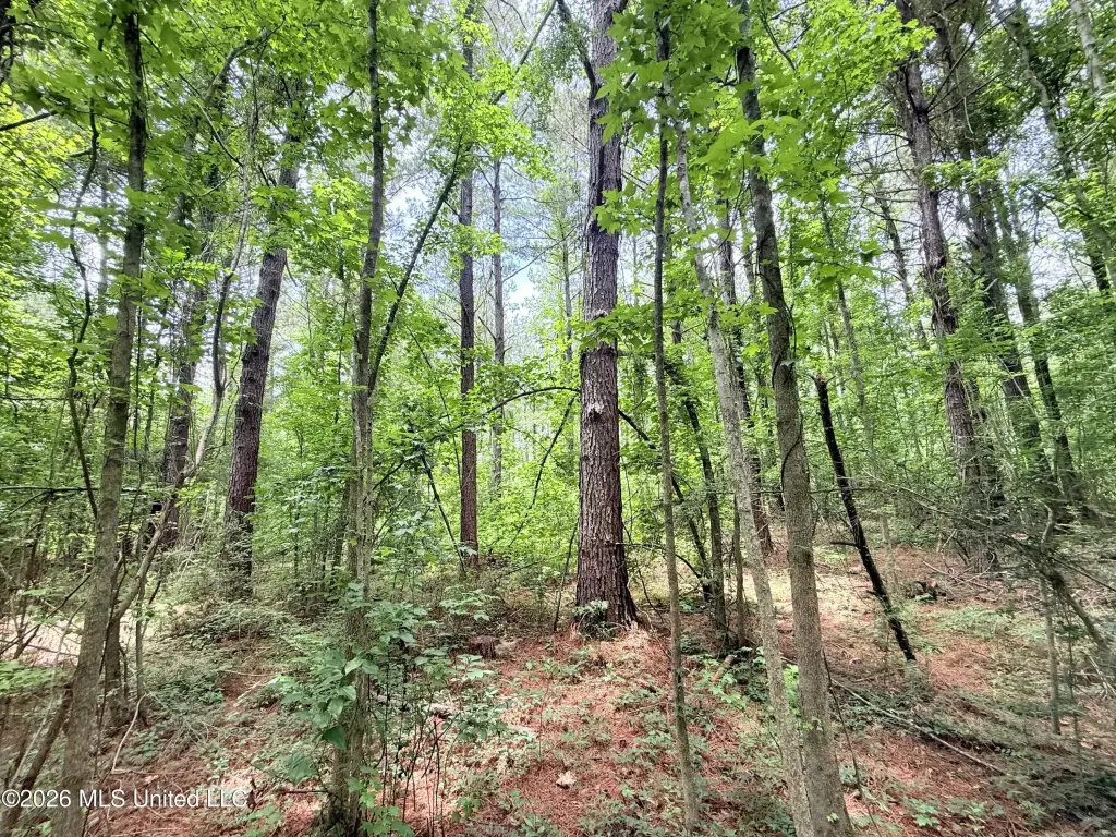
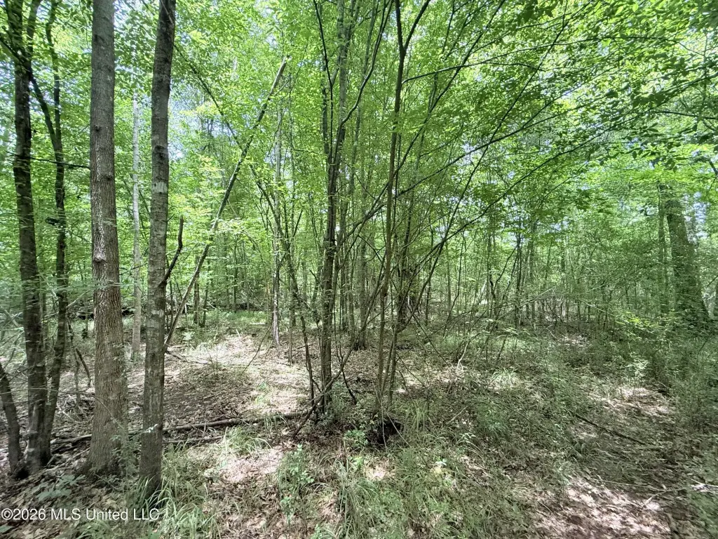
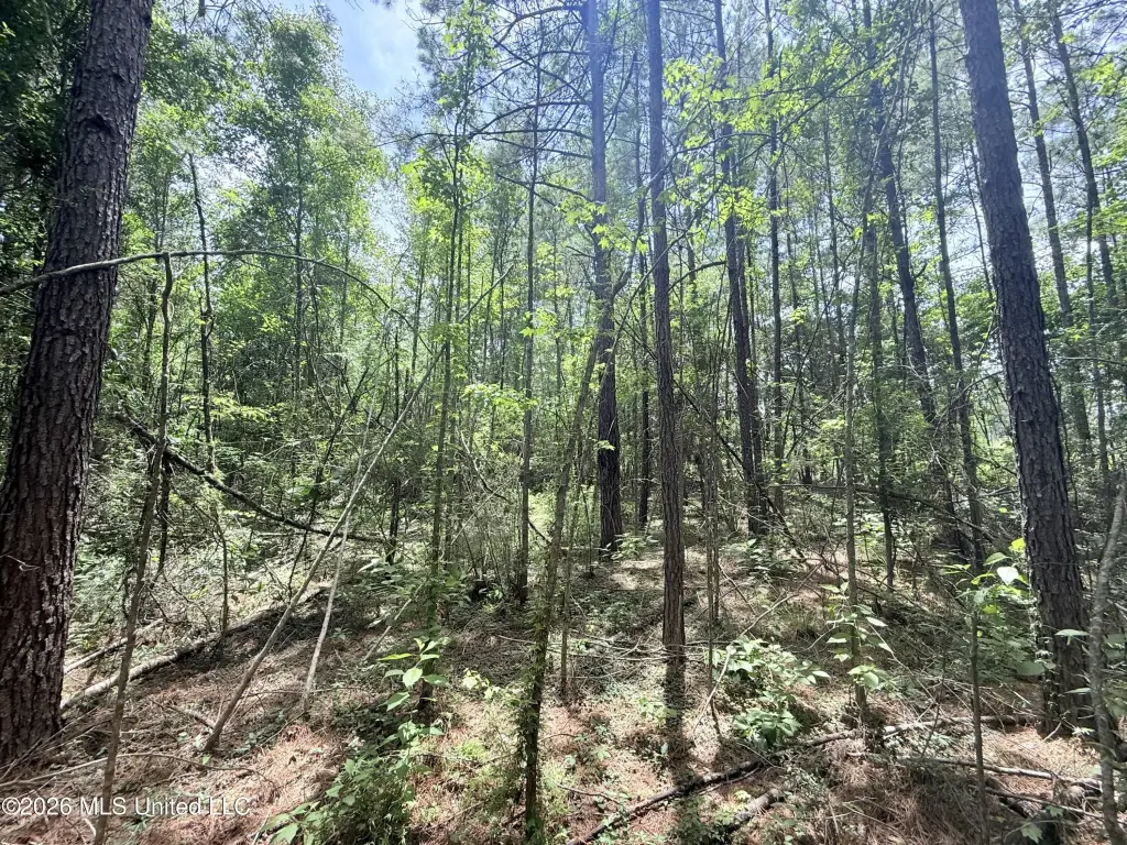
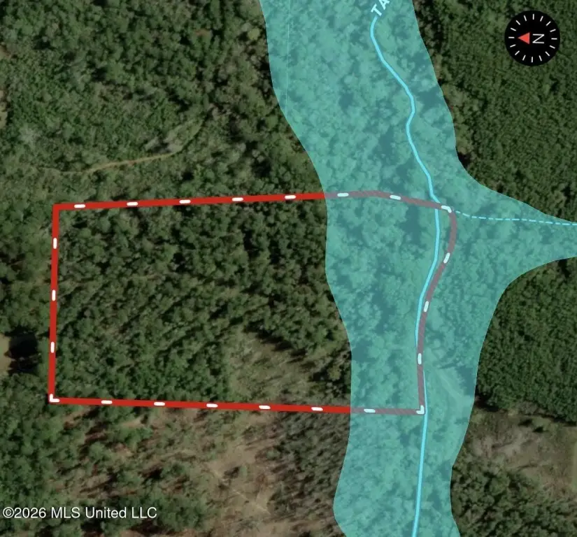
- 16+/- acre tract with creek frontage on Taylor’s Creek in the Bogue Chitto School District
- Taylor’s Creek is described as a clear, year‑round running stream with sandy bottoms
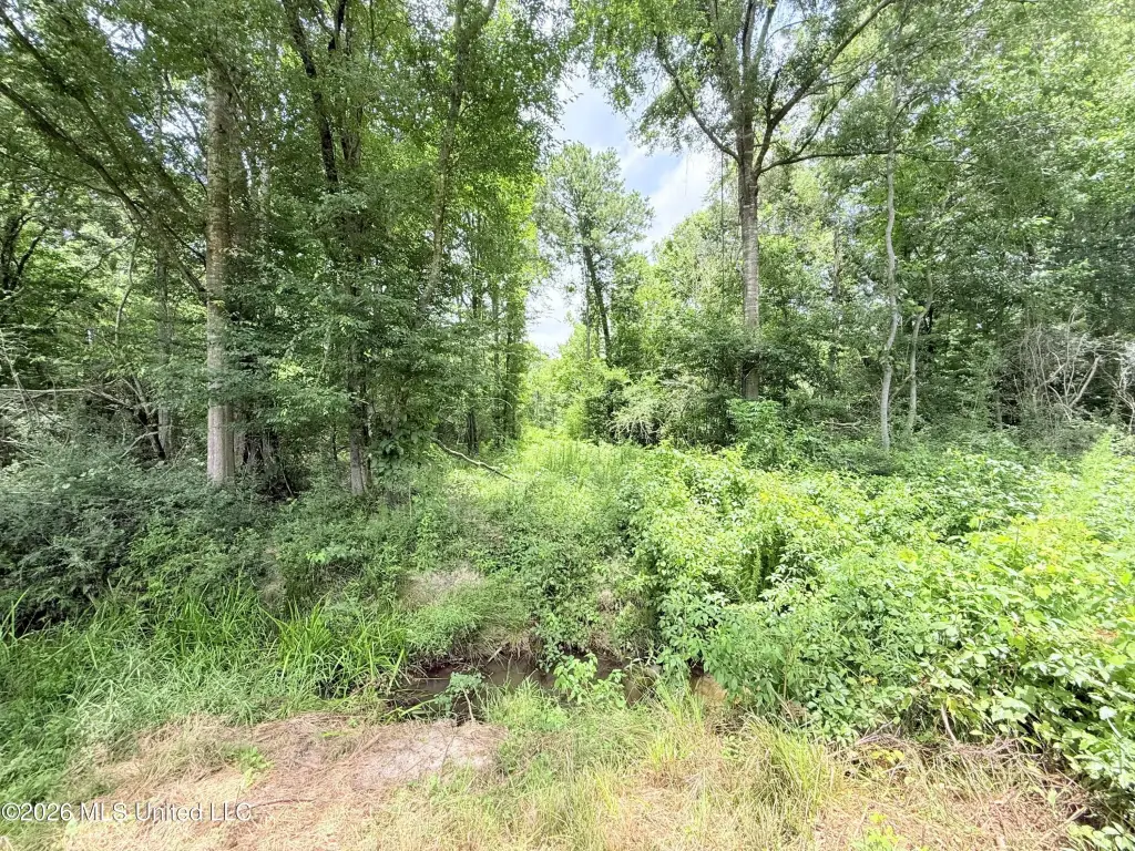
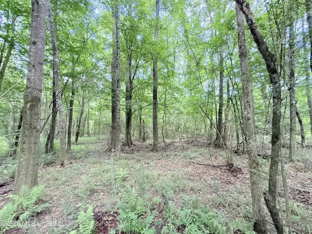
- Mature hardwoods along the creek plus mixed timber patches and a young pine plantation that was thinned a couple of years ago
- Main trail runs through the center for easy access for hunting, ATV riding, or exploration
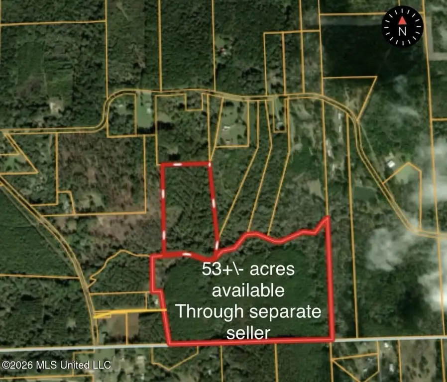
- Property is landlocked; legal access available by purchasing an adjoining 53+/- acre parcel with a deeded easement (listed separately)
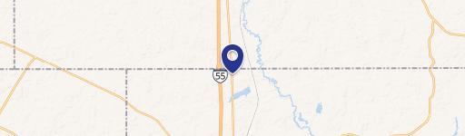
- Located just west of I‑55, about 15 minutes north of McComb (between Brookhaven and McComb)
Overview
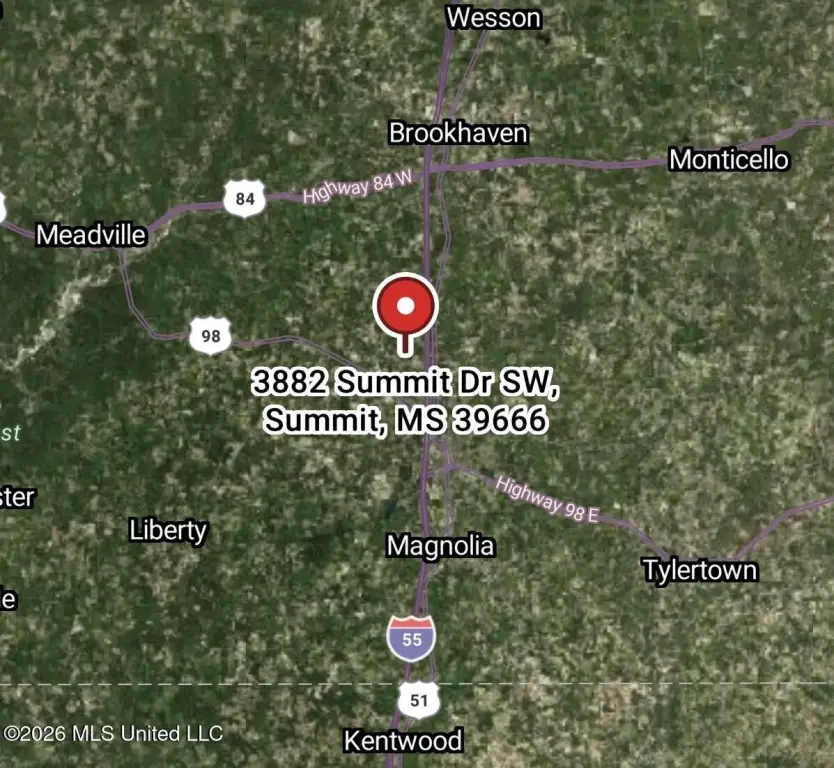
The creek is a prominent natural amenity on the parcel. Based on the provided information, the tract is located just west of I-55, approximately 15 minutes north of McComb, and positioned between Brookhaven and McComb while still described as secluded and private. The property sits in the Bogue Chitto School District.
A key consideration for buyers is access. The tract is currently landlocked, with legal access available through the purchase of an adjoining 53+/- acre parcel listed separately that includes a deeded easement, or potentially via other off-market adjoining properties. For buyers looking for creekside recreational land, this configuration provides the natural features and internal trail access needed for on-site outdoor use, subject to confirming the intended access route.
Current Use by Public Records
Map
- City
- Summit
- County
- Pike
- State
- Mississippi
- Longitude
- -90.502883
- Latitude
- 31.352957