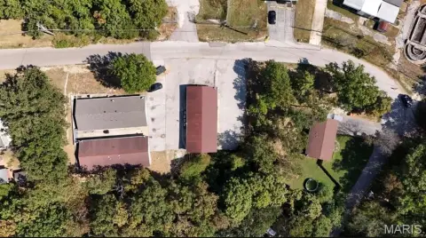
0 State Route 21, De Soto, MO 63020


- Added:
- Jun 7, 2026
- Days on Market:
- 2
- Last Refresh:
- Jun 8 at 7:06 pm
Property Features for 0 State Route 21
General Information
- Property type
- Land
- Property subtype
- Other
- Zoning
- Agricultural
- Exterior features
- Secluded
- Standard status
- Active
- APN
- 24-4.2-18.0-0-000-001.03
- Lot size
- 67.94 Acres
Taxes and HOA fees
- Tax Year
- 2024
- Tax Annual Amount
- 630
Building Details
- Architectural style
- Other
Listing agent Louise Robertson License #2018002449 (314) 402-1154
Listing office Heartland Realty 122 S. Main Street, DeSoto, MO (636) 337-0600
Listing date Jun 7, 2026
Copyright © 2026 Mid America Regional Information Systems, Inc. All rights reserved. All information provided by the listing agent/broker is deemed reliable but is not guaranteed and should be independently verified.
HighLights
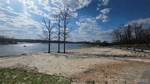
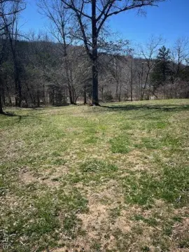
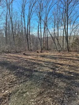
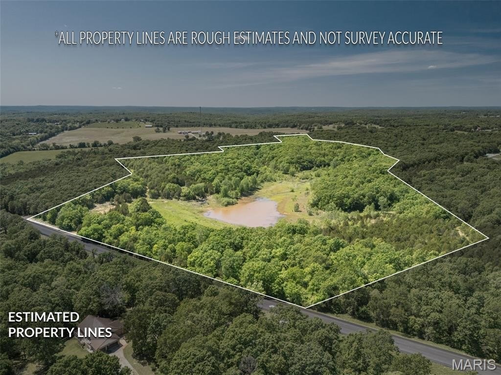
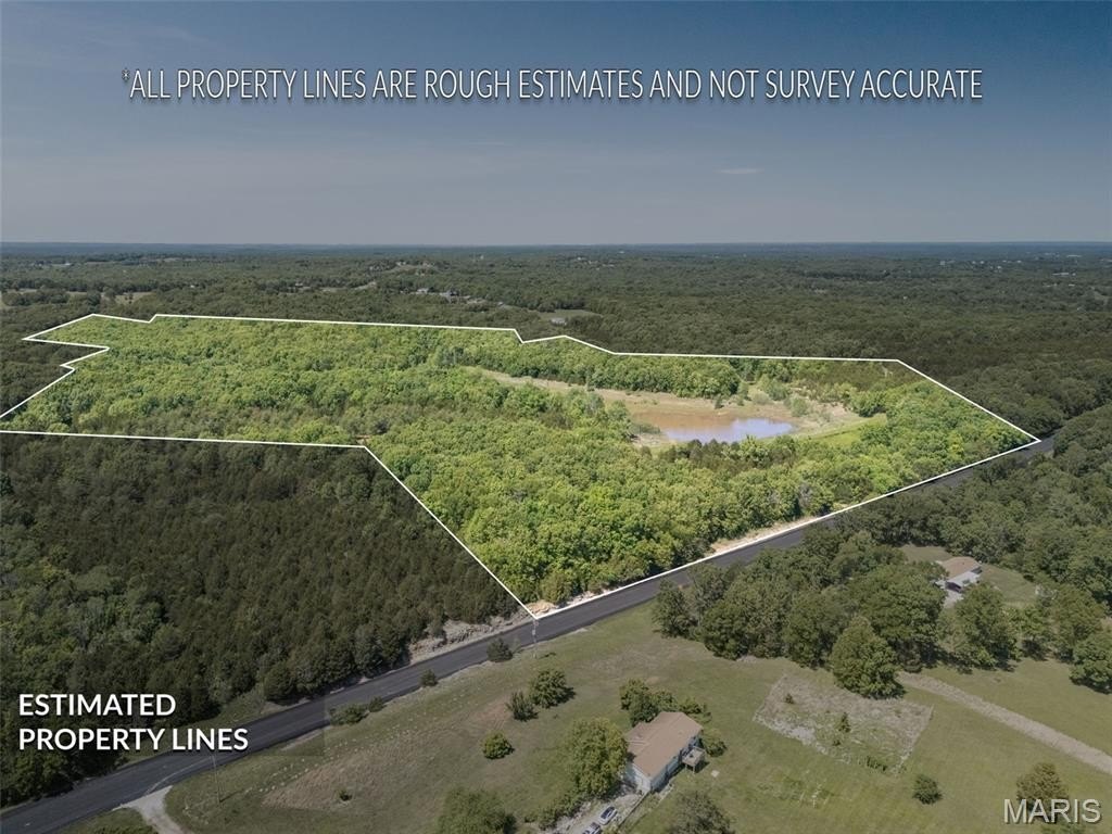
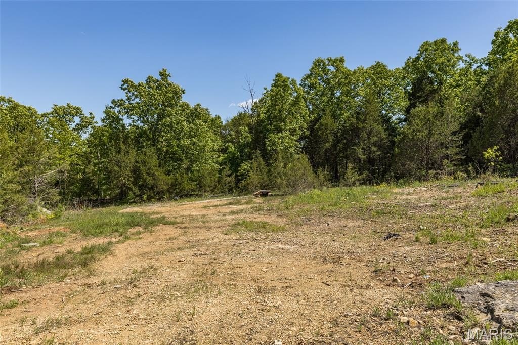
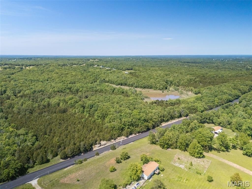
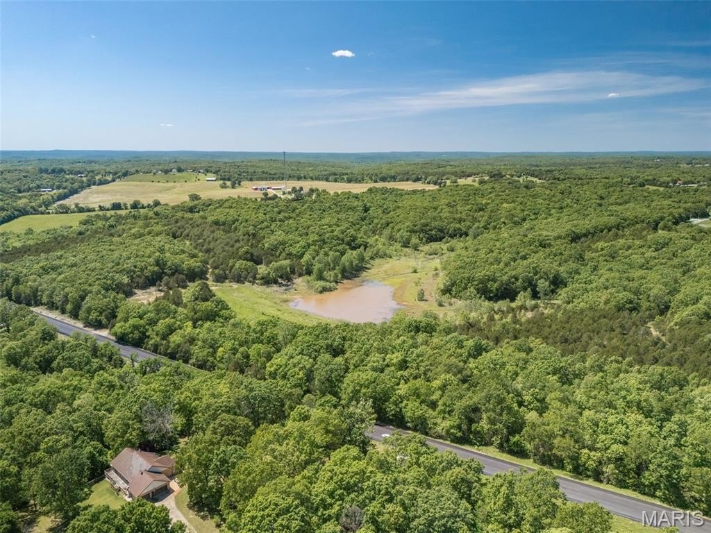
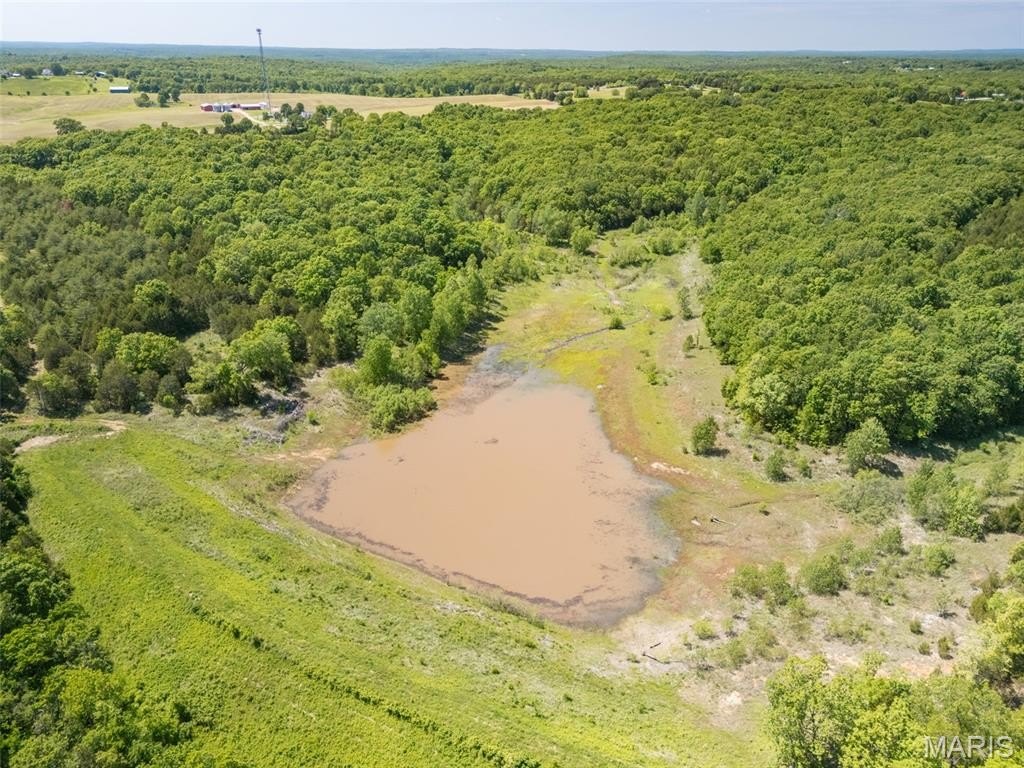
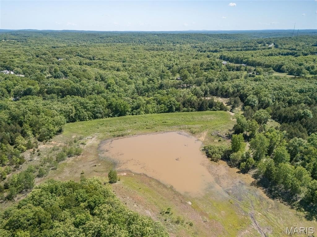
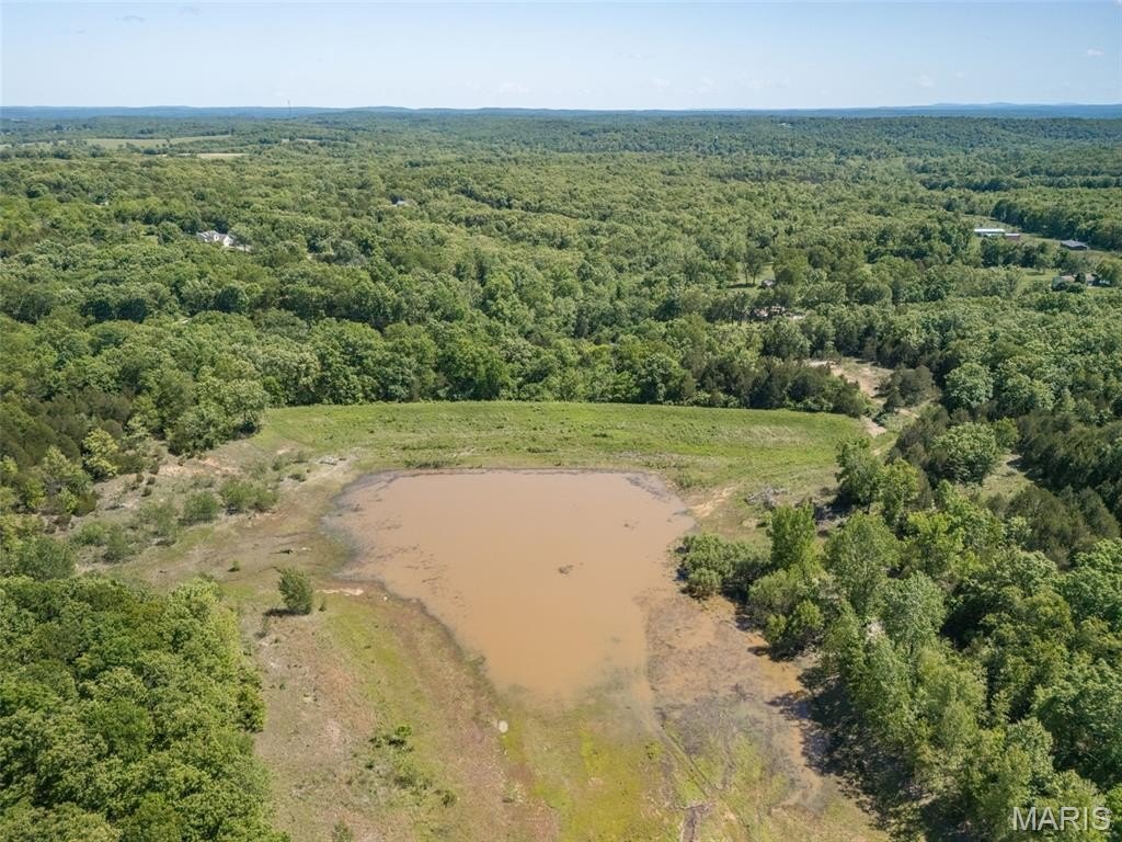
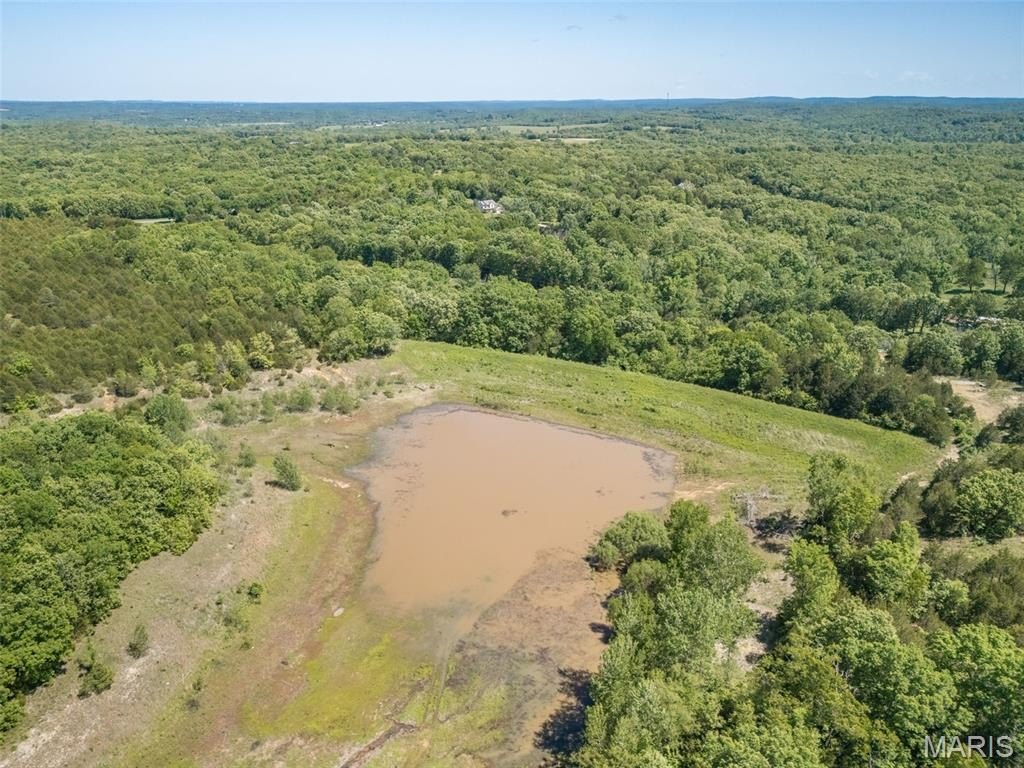
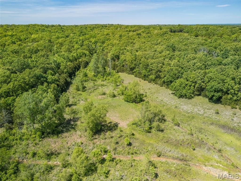
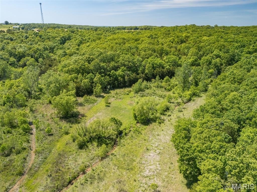
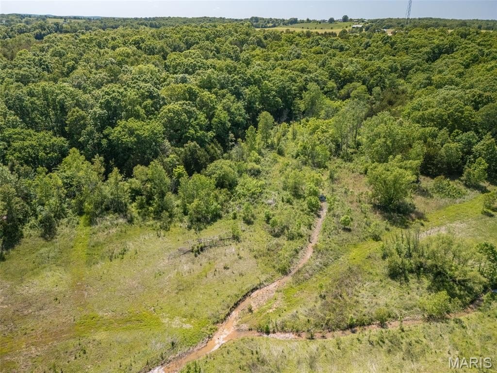
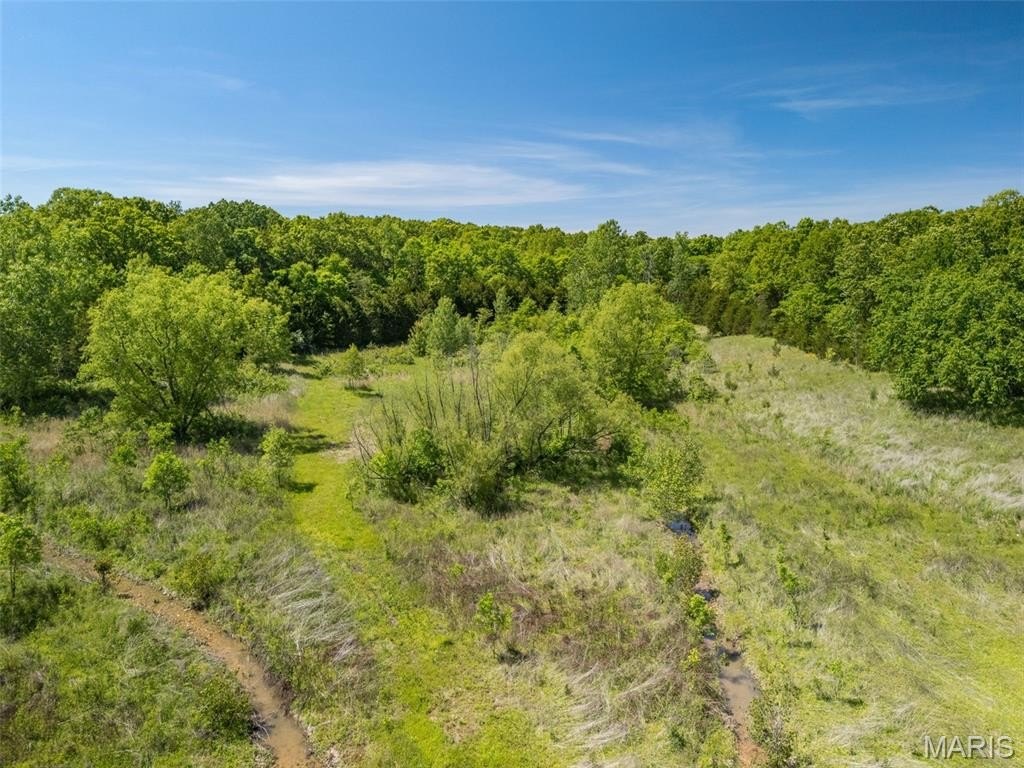
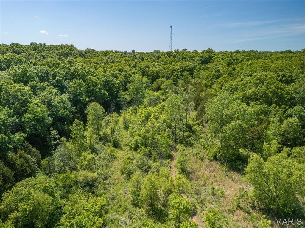
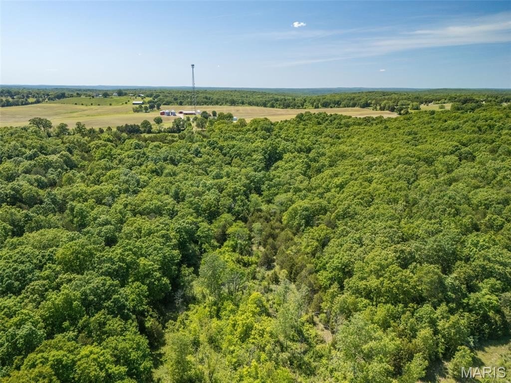
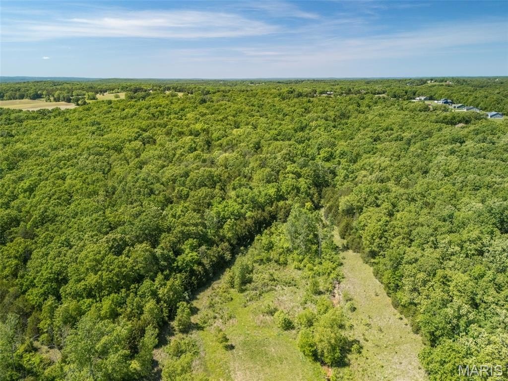
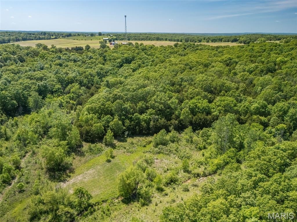
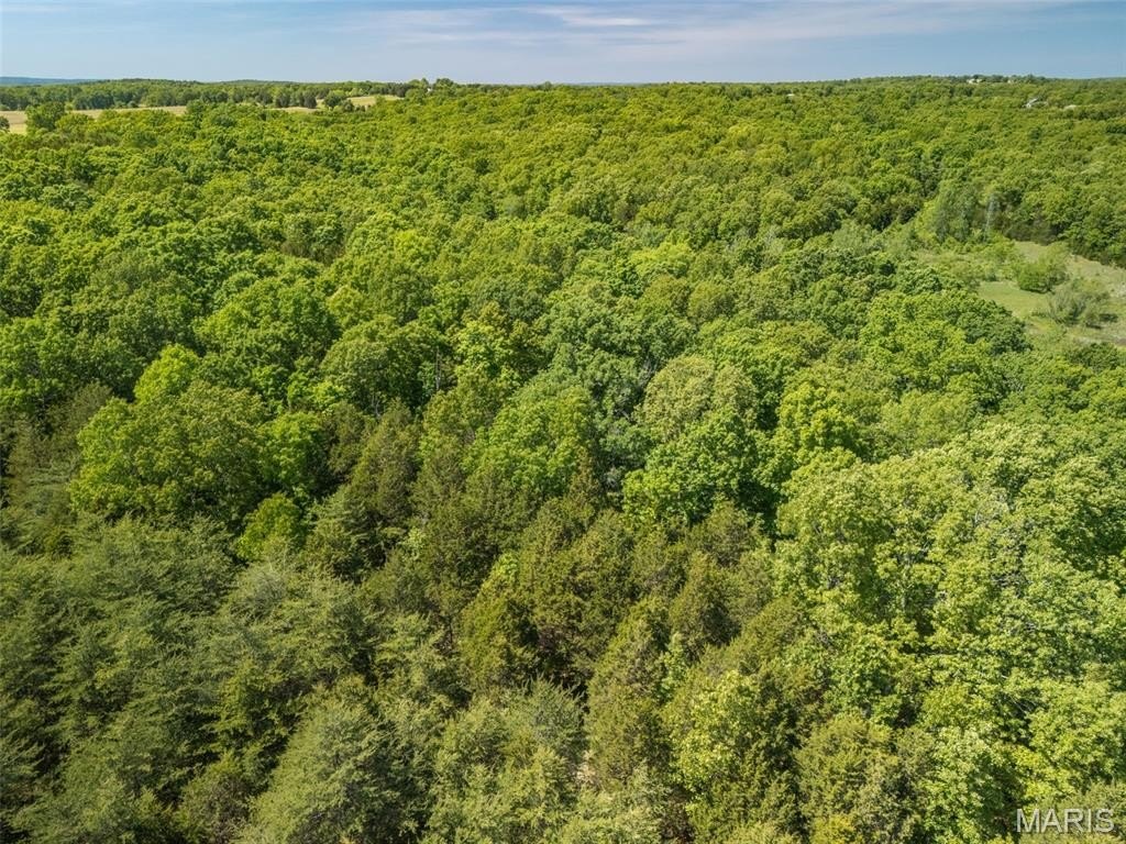
- 68 +/- acres with almost 1,500 feet of State Route 21 highway frontage
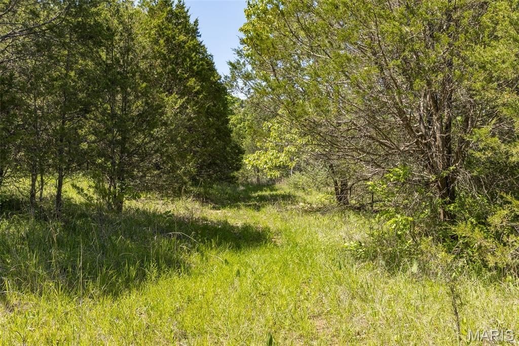
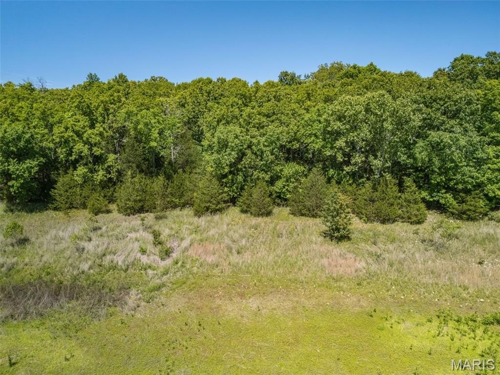
- County road frontage on Dodson Lane in gently rolling hills
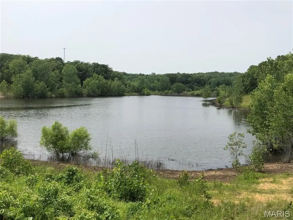
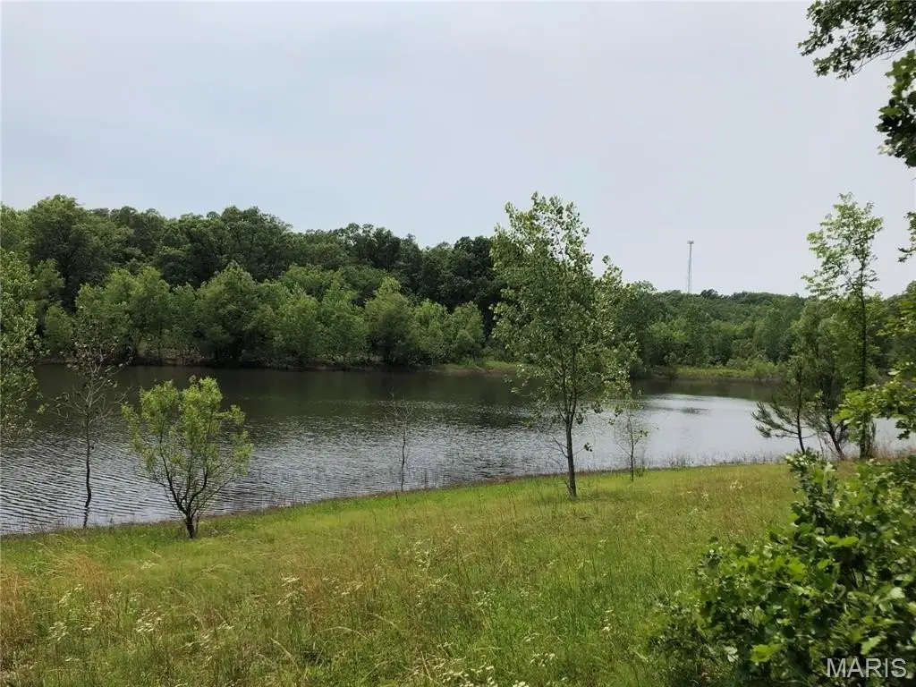
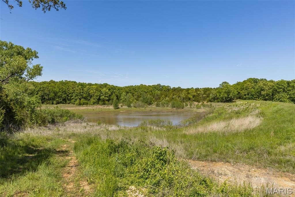
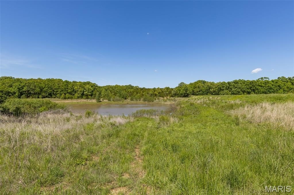
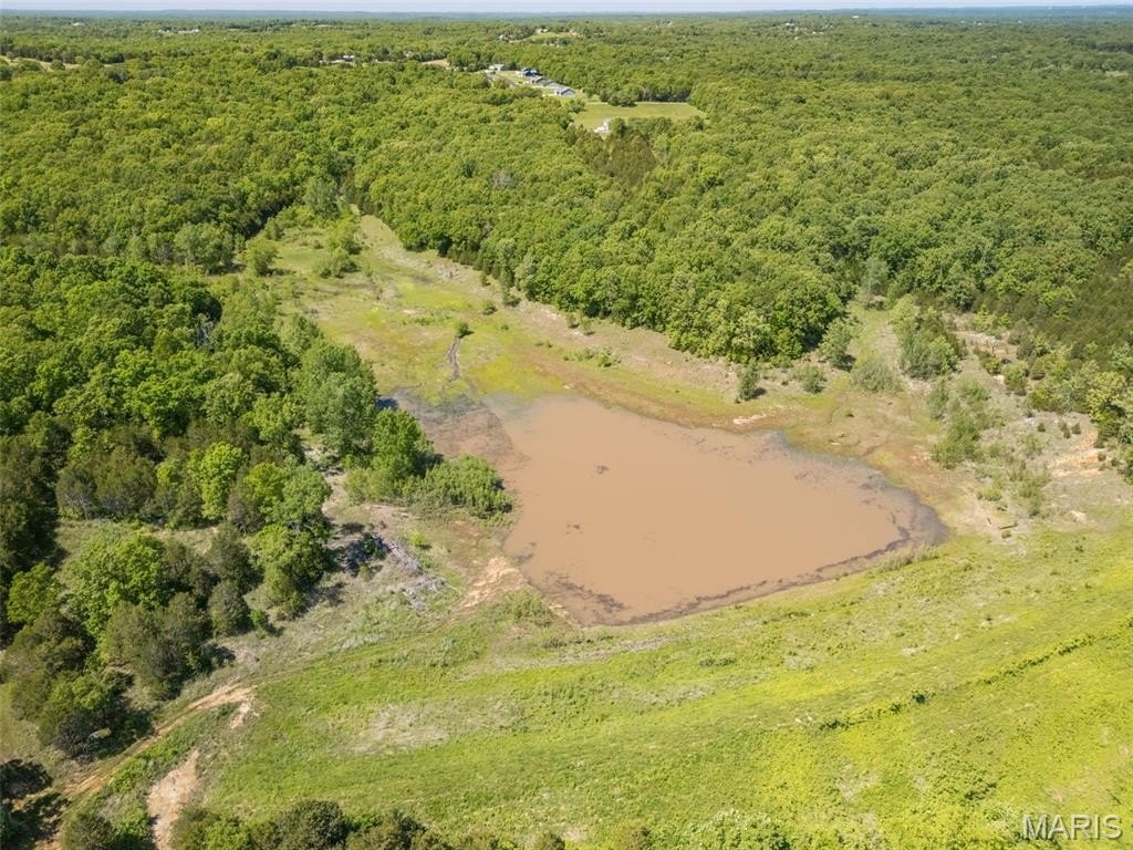
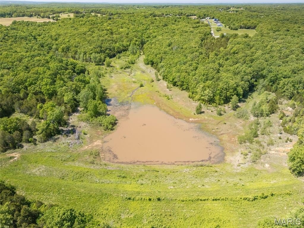
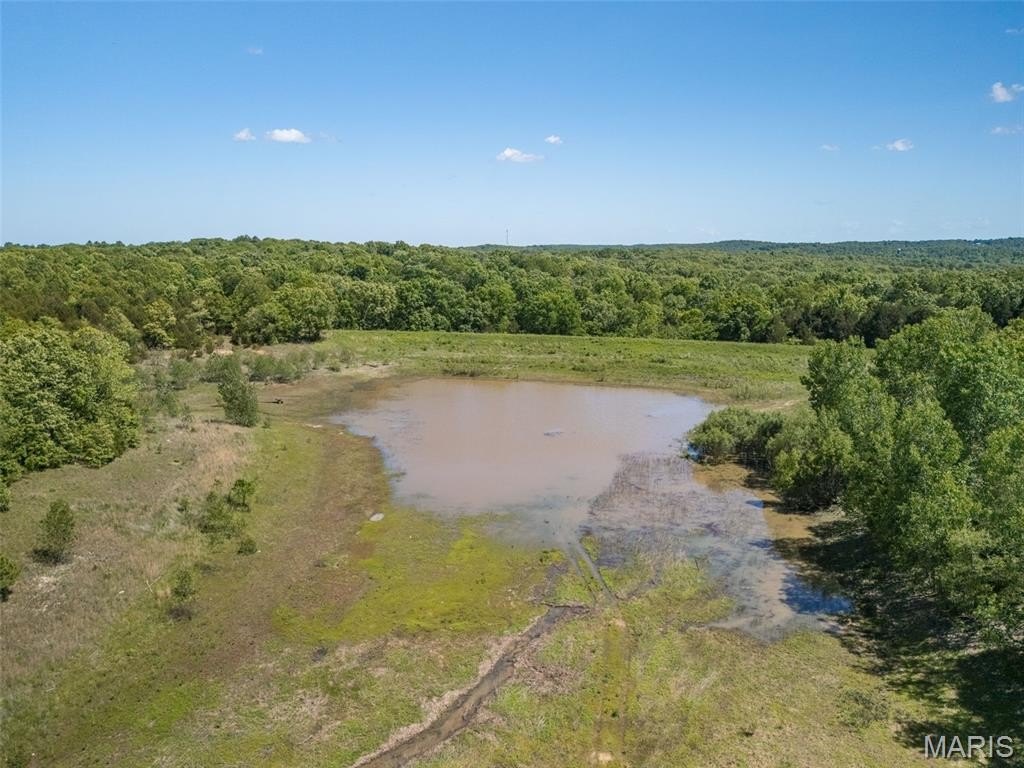
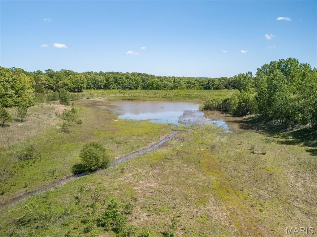
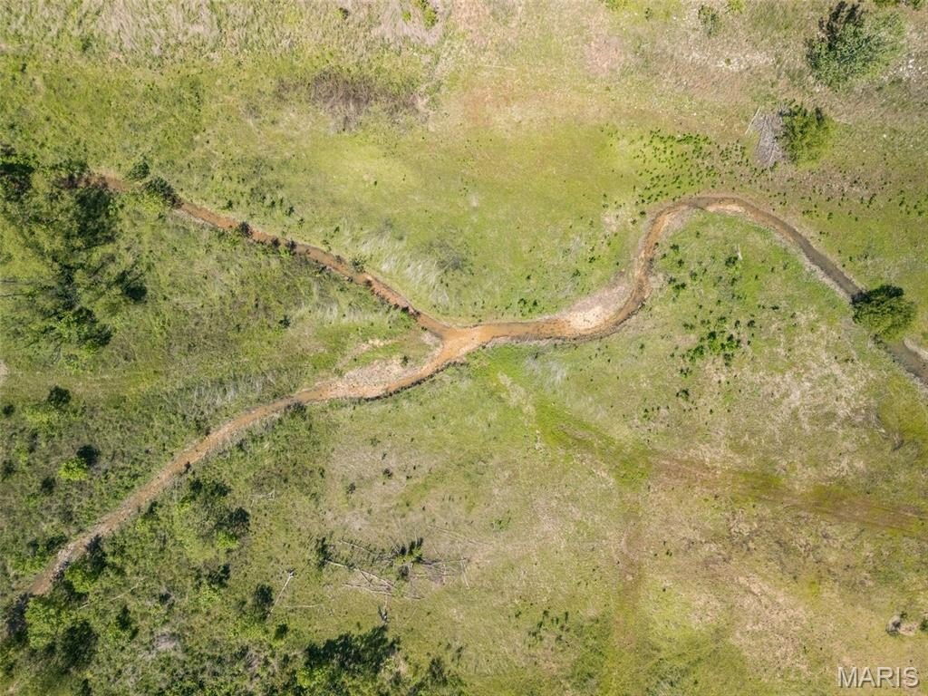
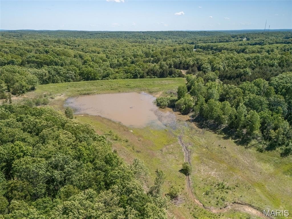
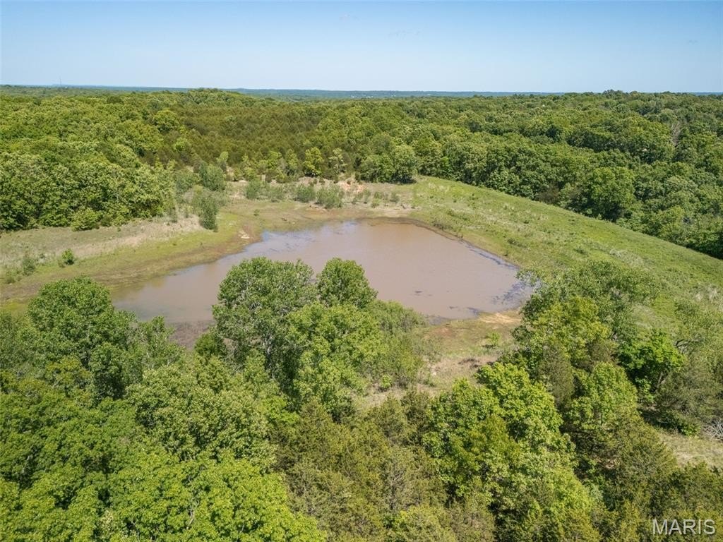
- Lake dam is licensed and regularly inspected by the Missouri Dept. of Natural Resources
- Seller has permits required by DNR for repairs to the lake
- Planned as phase 2 of an adjacent subdivision
- Seller is willing to divide
Overview
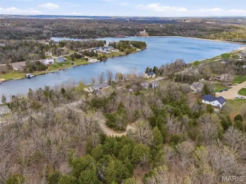
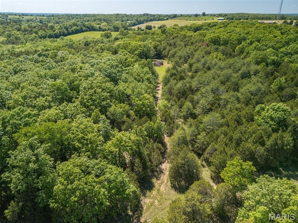
The property features almost 1,500 feet of frontage on State Route 21, along with county road frontage on Dodson Lane. The seller indicates the site is less than 5 minutes from school and shopping. The property was originally planned as phase 2 of an adjacent subdivision, and the seller is willing to divide.
For buyers looking for a private recreation-focused tract, the established lake and documented DNR involvement are practical considerations when evaluating long-term stewardship and improvements. For those evaluating development timelines, the prior phase 2 concept and willingness to divide may be relevant to how the parcel can be configured for future planning. Prospective buyers should review the stated DNR permits and any subdivision planning documents as part of due diligence.
Current Use by Public Records
Map
- City
- De Soto
- County
- St. Francois
- State
- Missouri
- Longitude
- -90.56052
- Latitude
- 38.183177