
State Hwy M, Powersville, MO 64672


- Added:
- Apr 8, 2026
- Days on Market:
- 89
- Last Refresh:
- Jul 5 at 4:06 pm
Property Features for State Hwy M
General Information
- Property type
- Land
- Property subtype
- Other
- Standard status
- Active
- Lot size
- 172.58 Acres
Utilities
- Water front features
- Creek
Listing agent Jacob Hart (507) 218-1243
Listing office High Point Land Company, LLC 520 Main Street South, Stewartville, MO (319) 559-2345
Listing date Apr 8, 2026
Copyright © 2026 My State MLS. All rights reserved. All information provided by the listing agent/broker is deemed reliable but is not guaranteed and should be independently verified.
HighLights
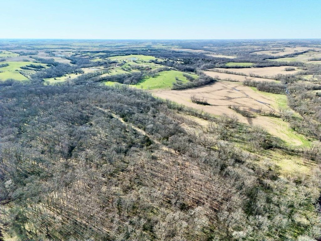
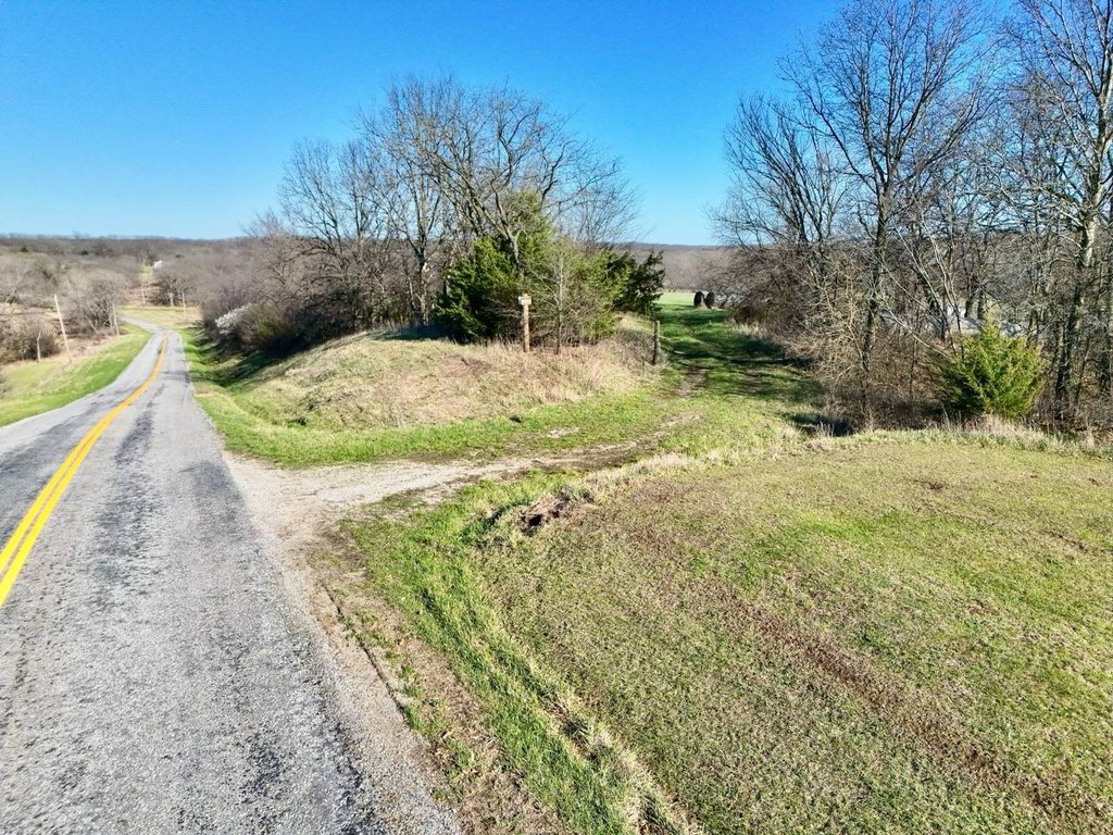
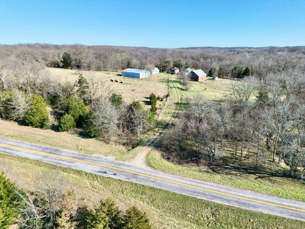
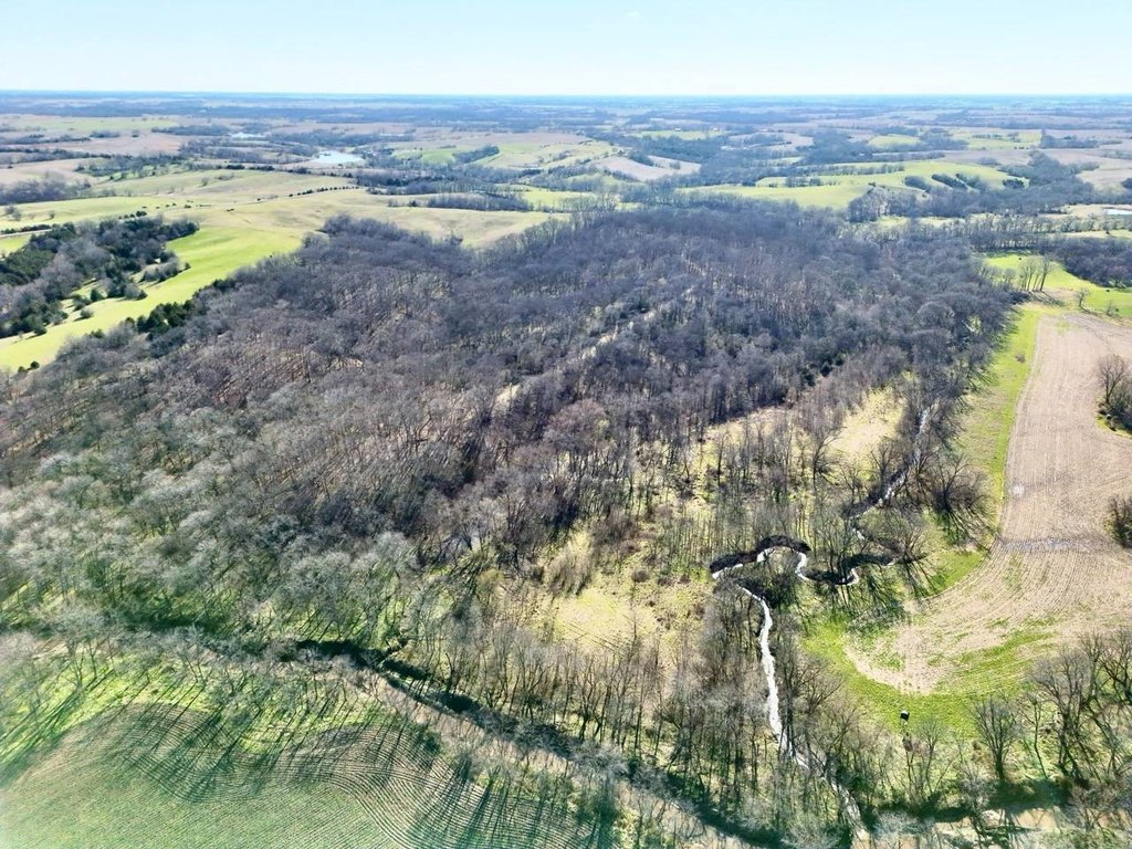
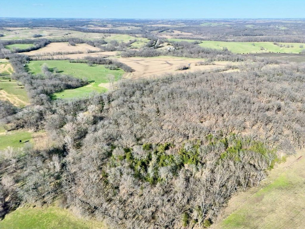
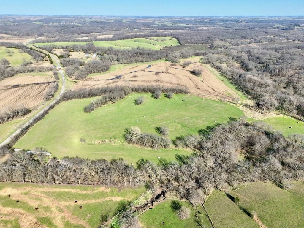
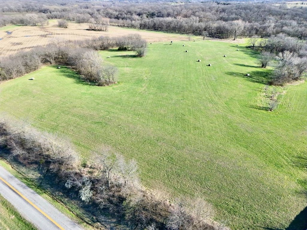
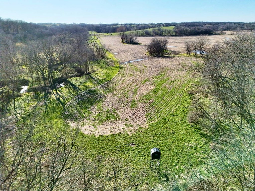
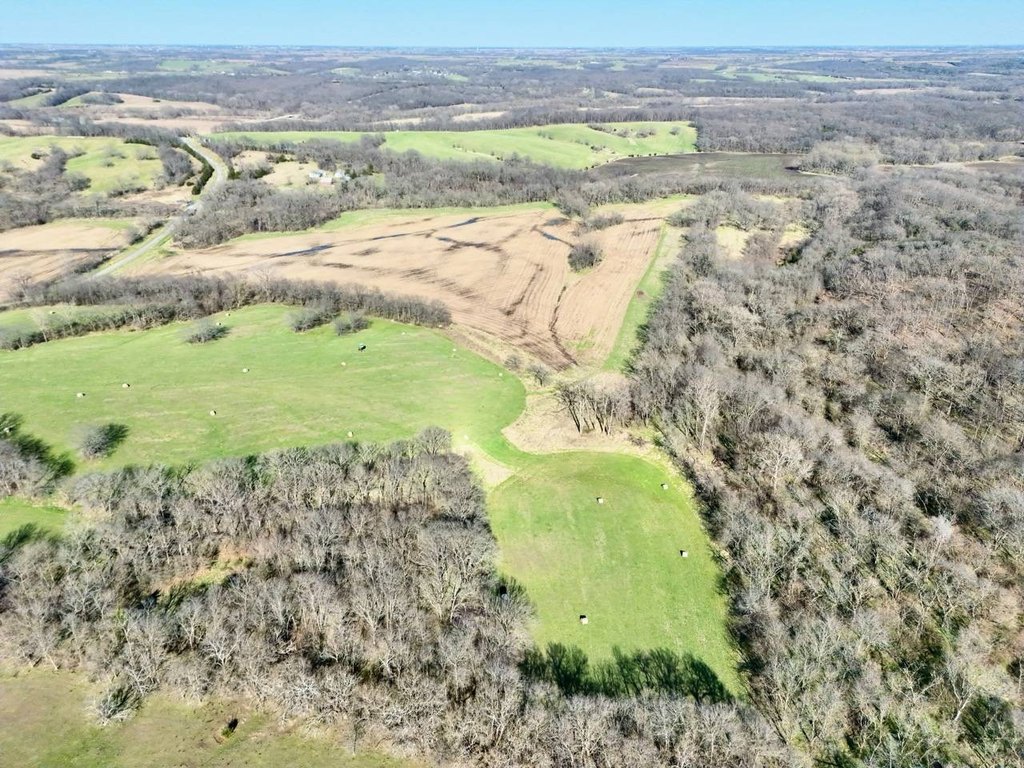
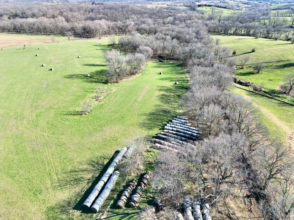
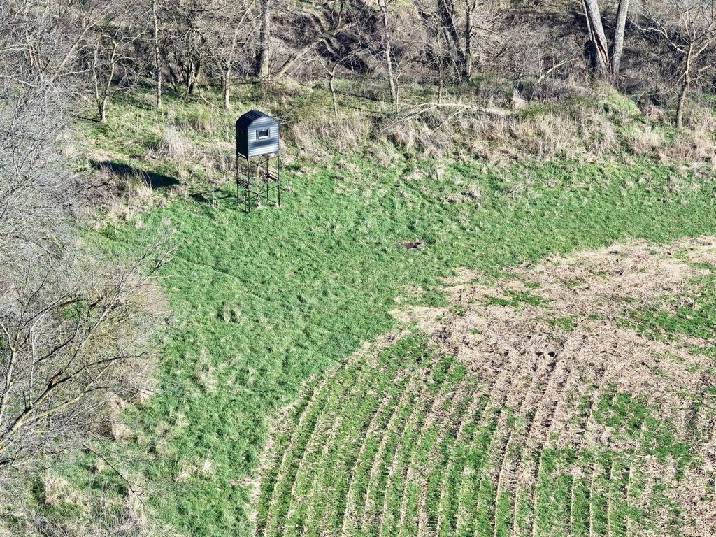
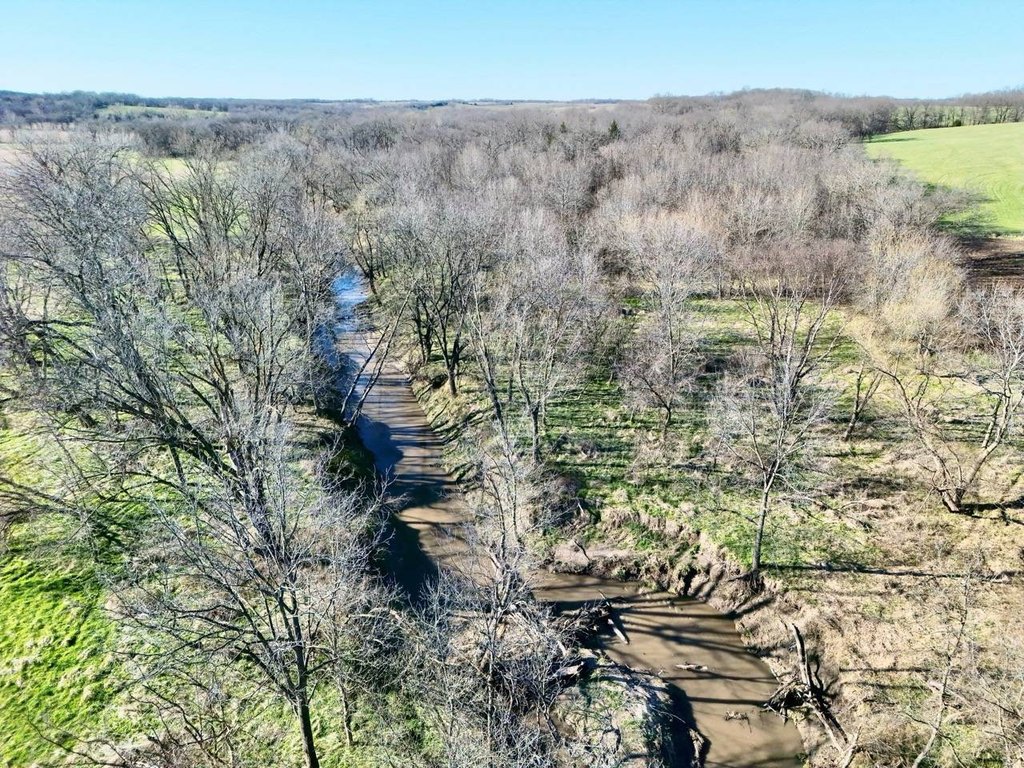
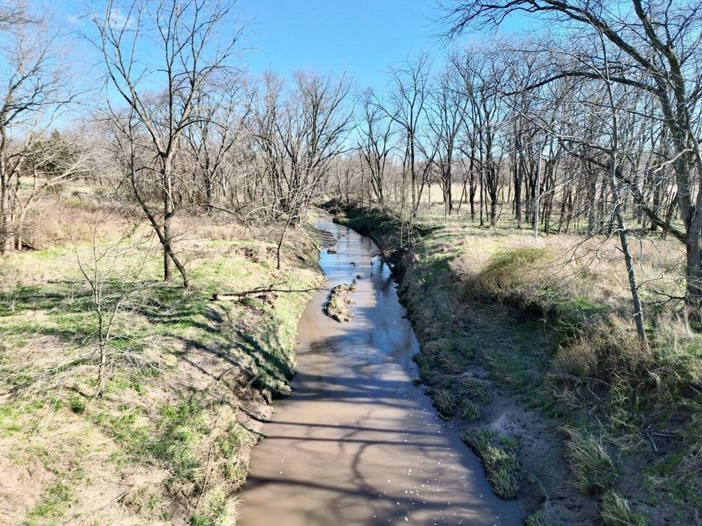
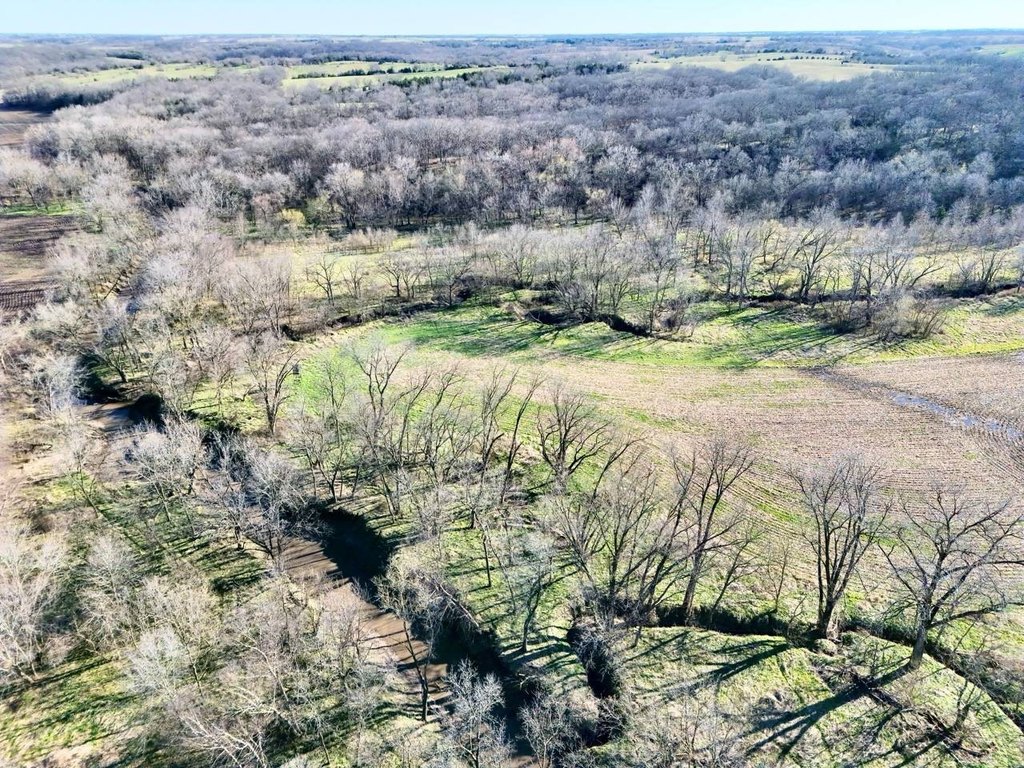
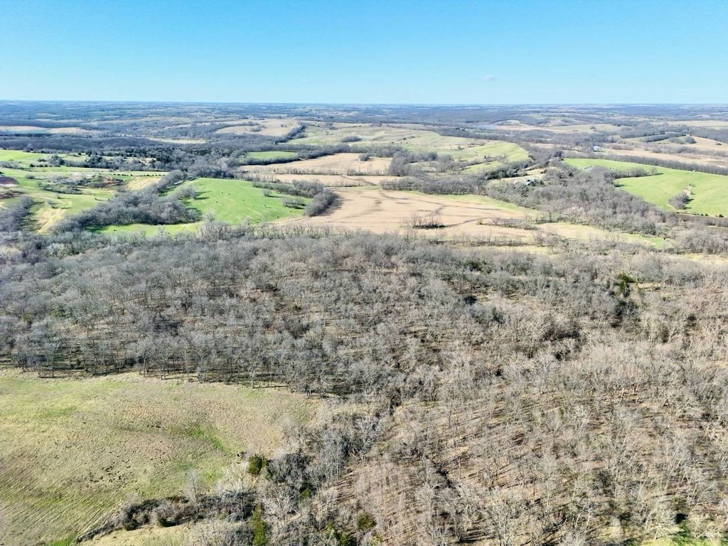
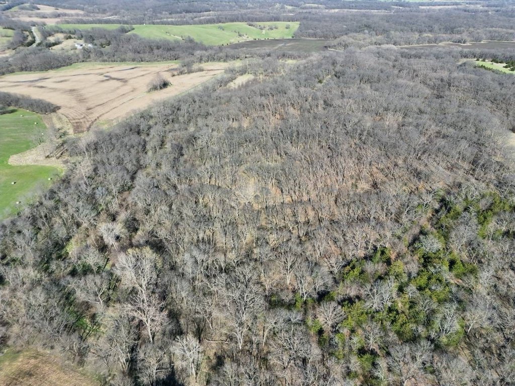
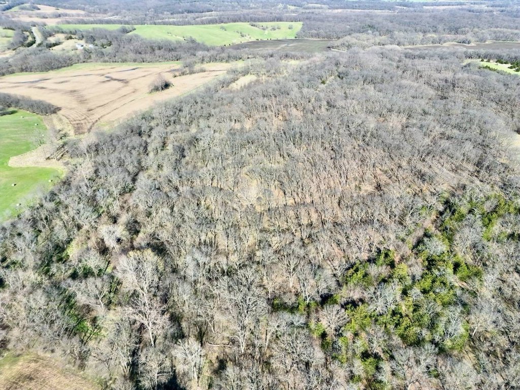
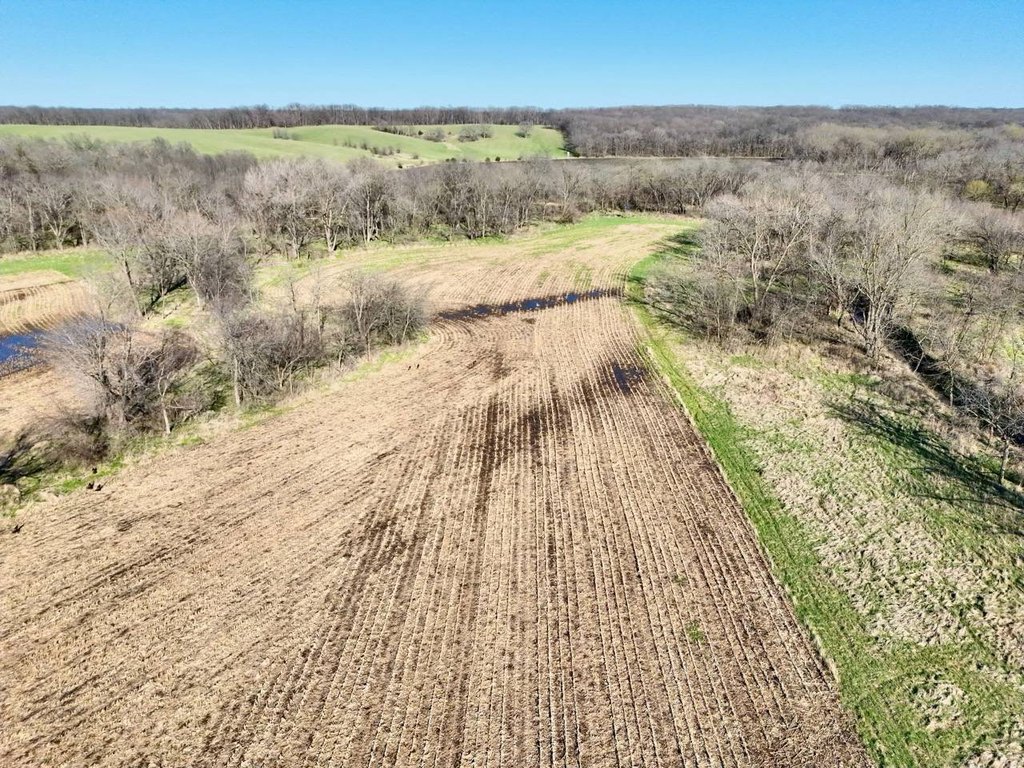
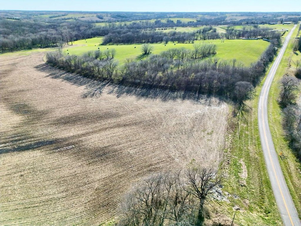
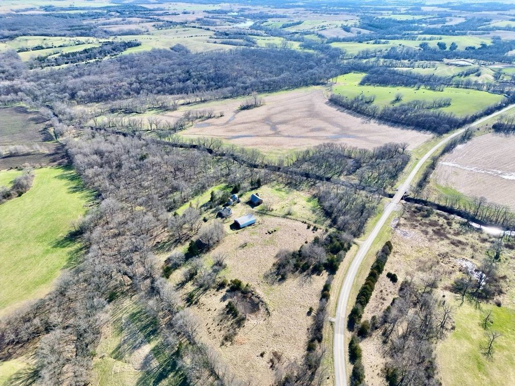
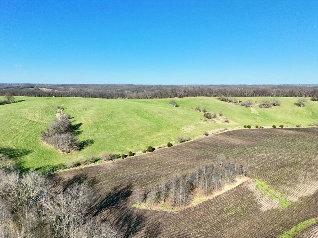
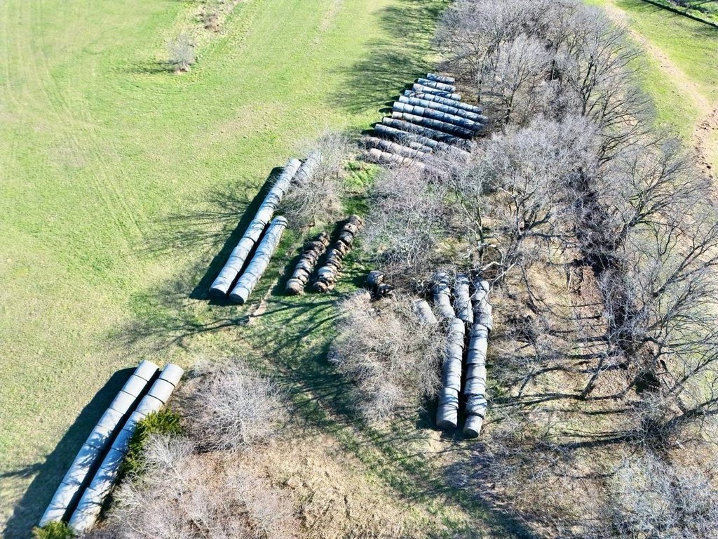
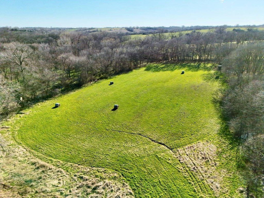
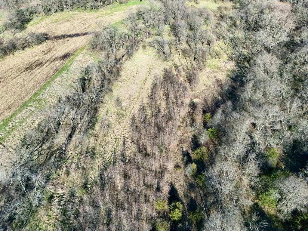
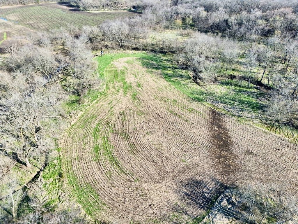
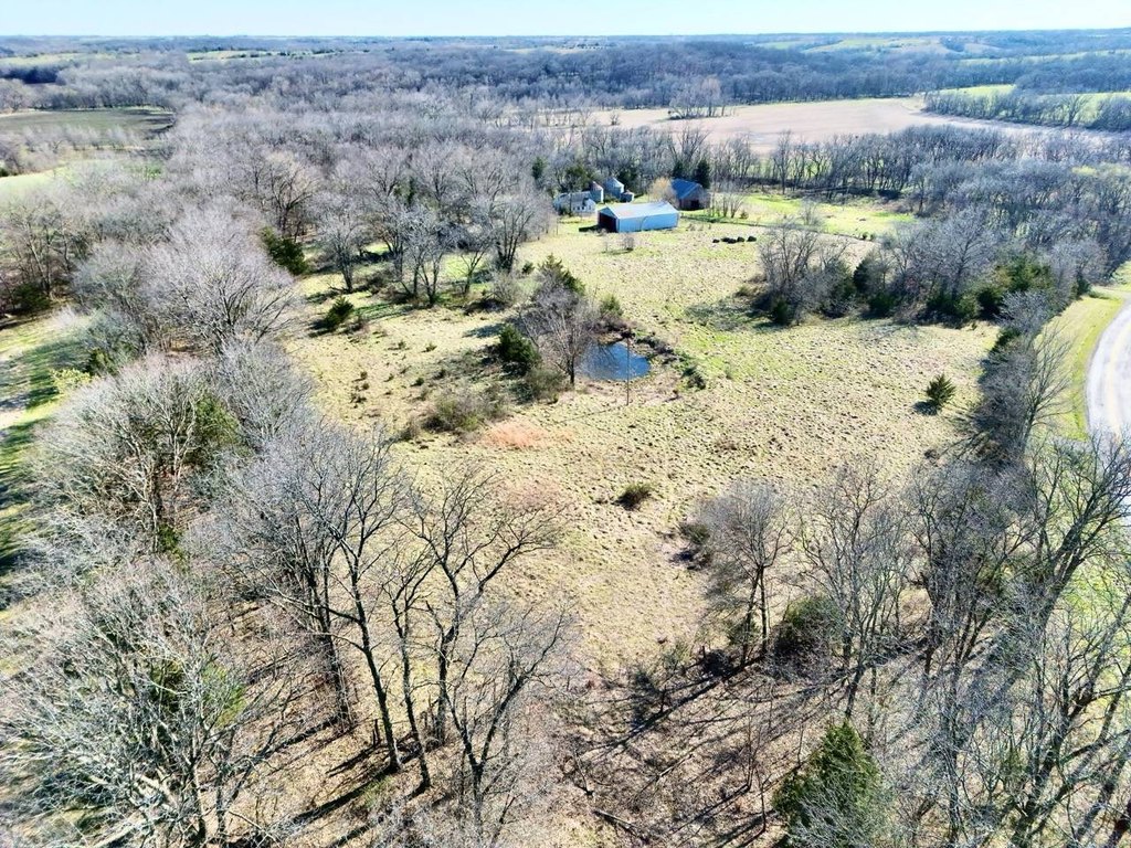
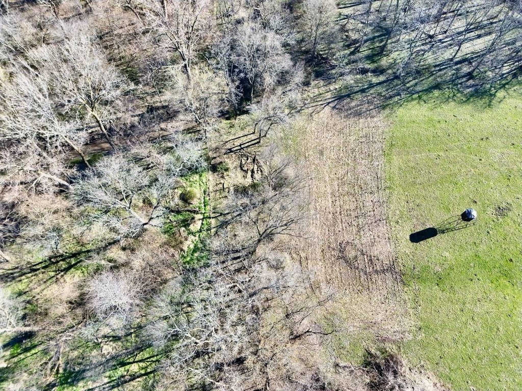
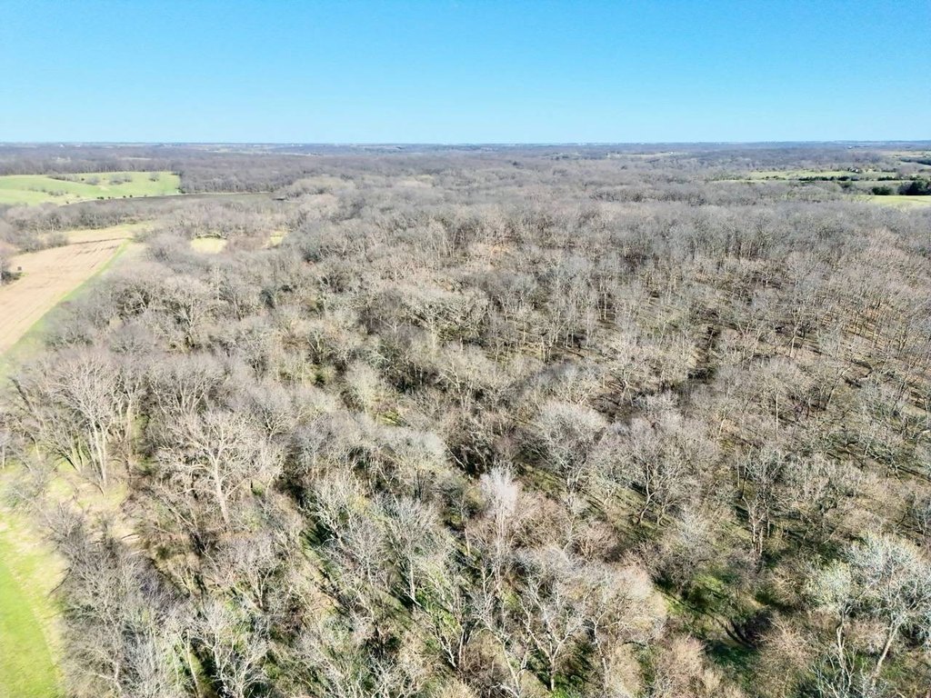
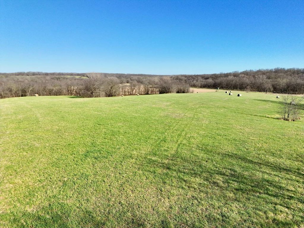
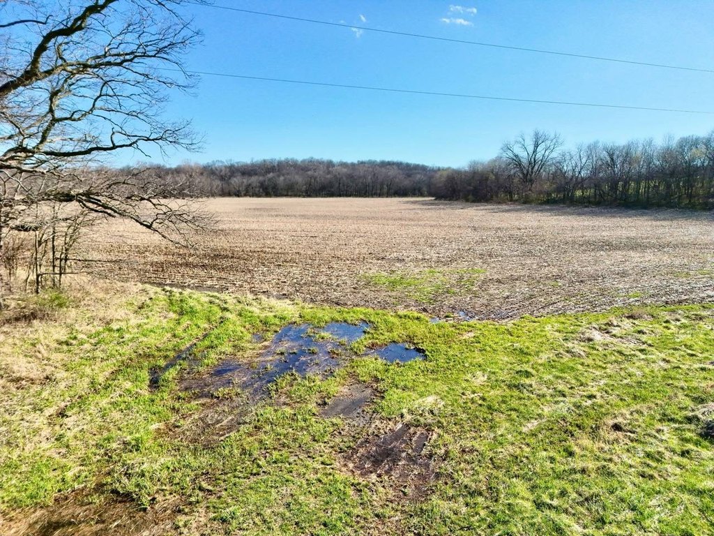
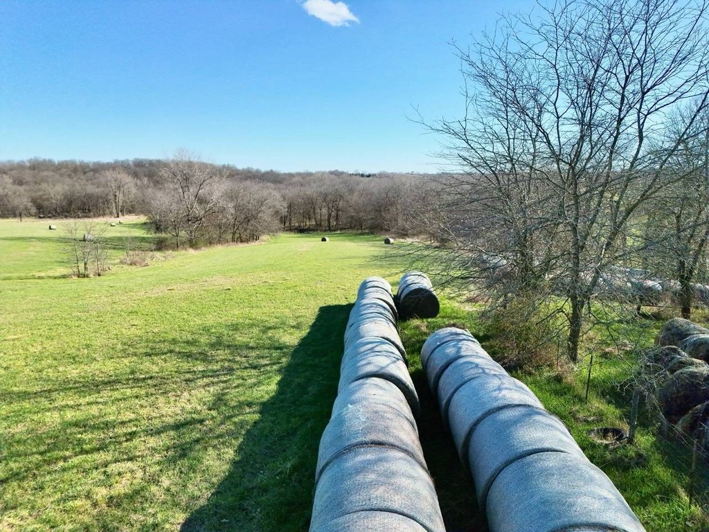
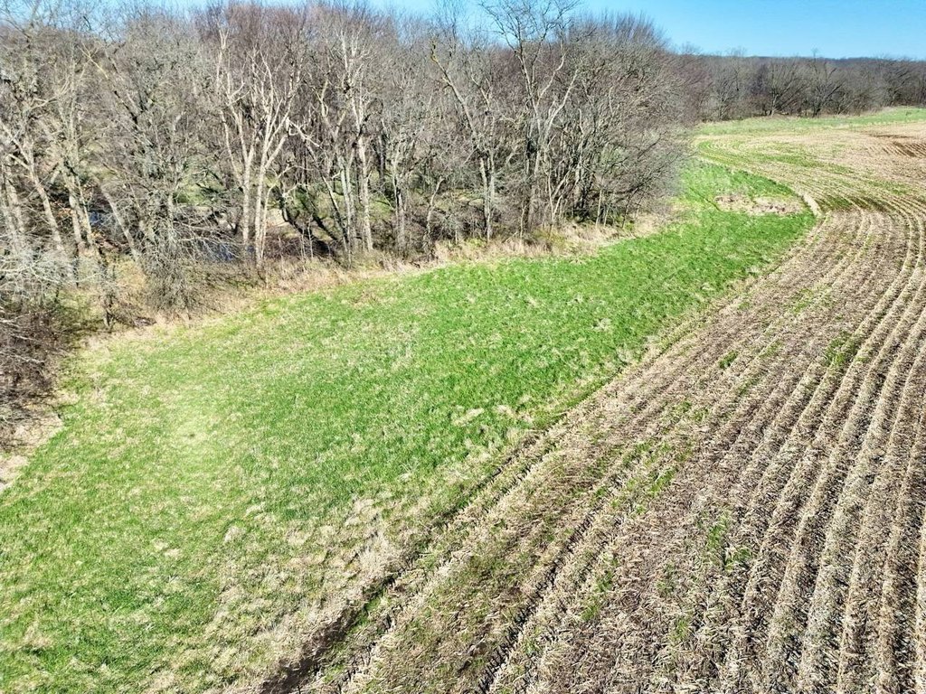
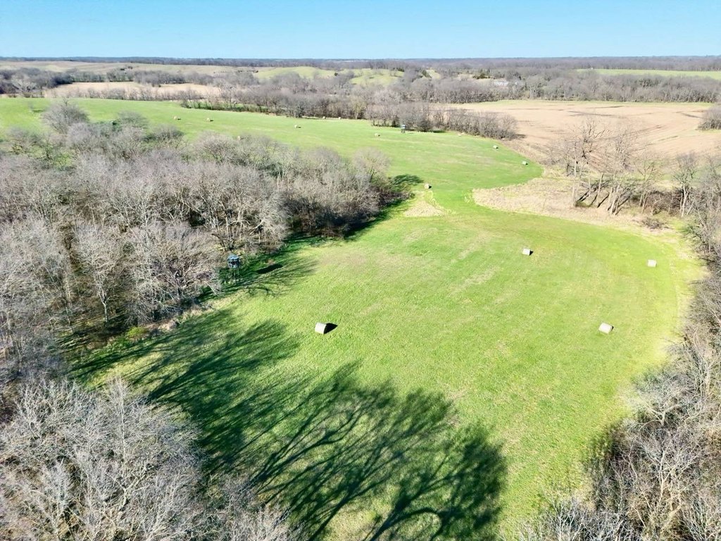
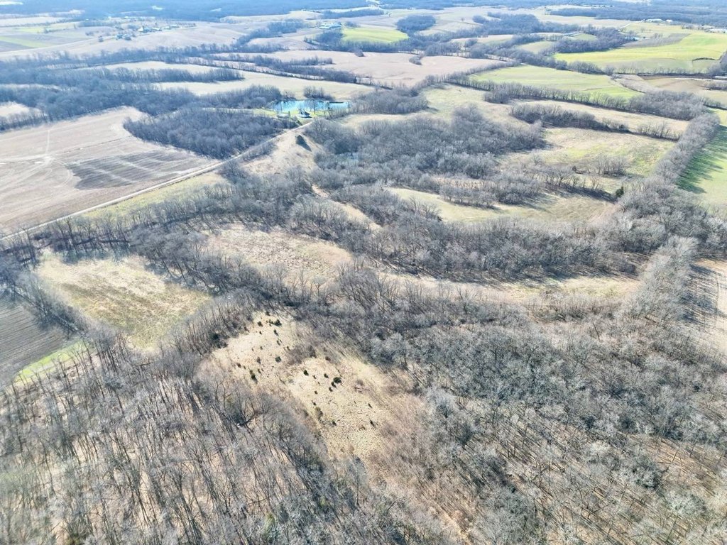
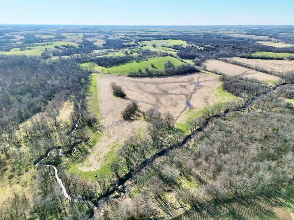
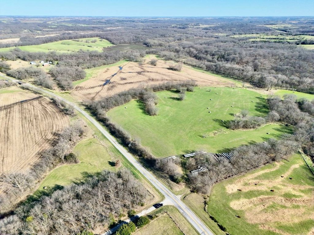
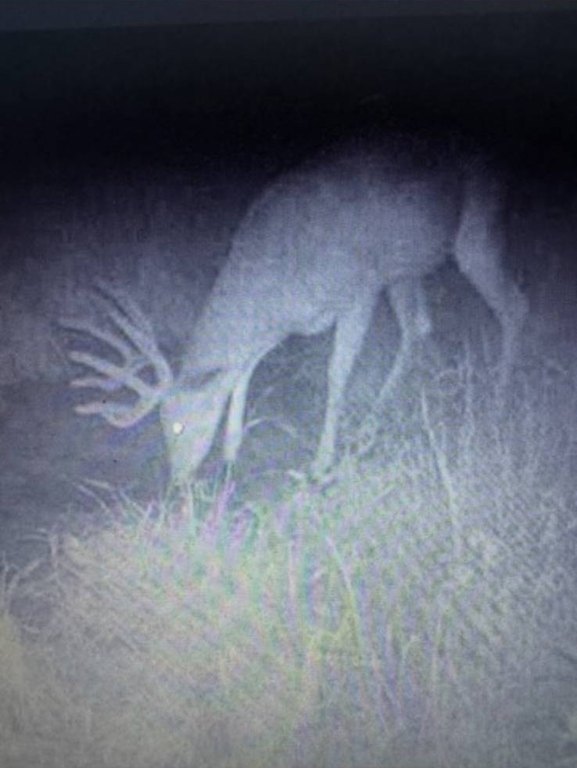
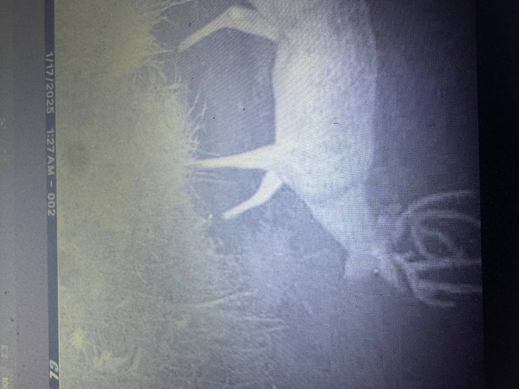
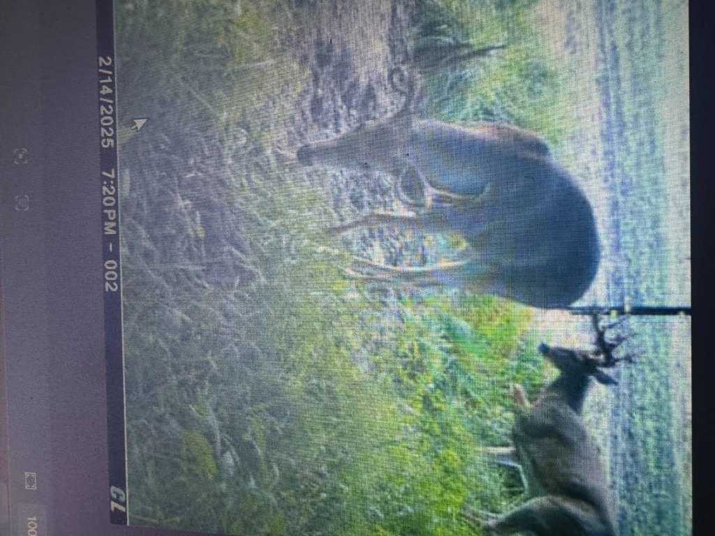
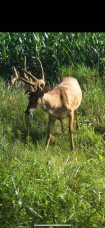
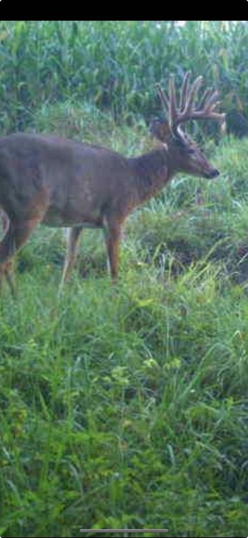
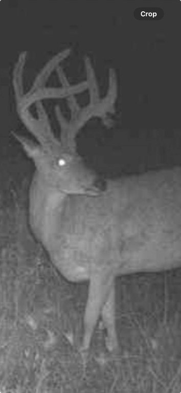
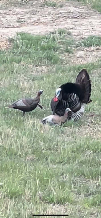
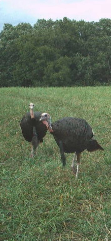
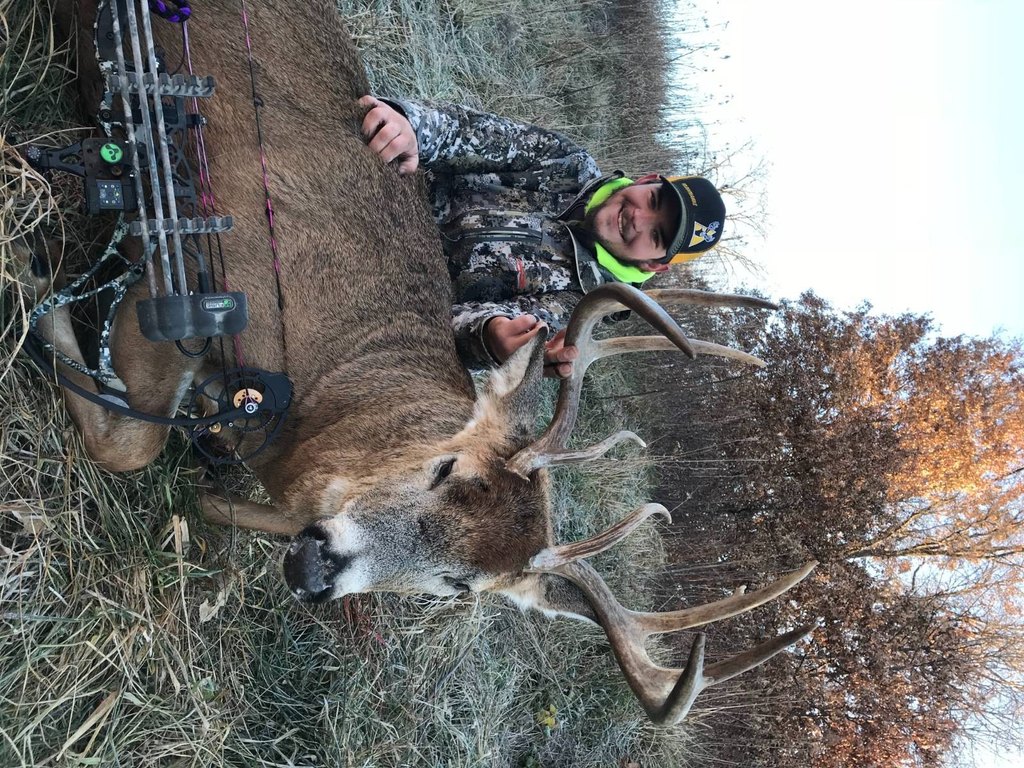
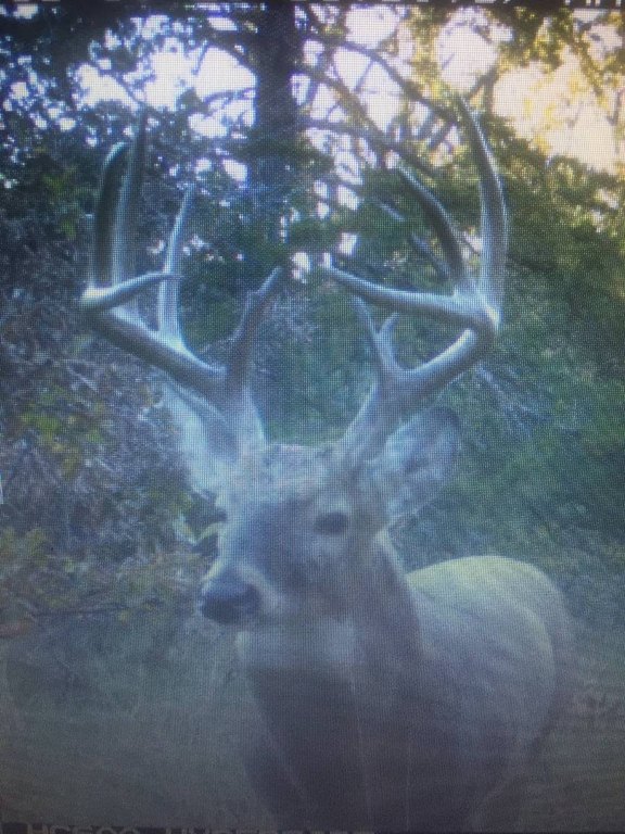
- 172.58+/- acre hunting retreat in Putnam County, Missouri
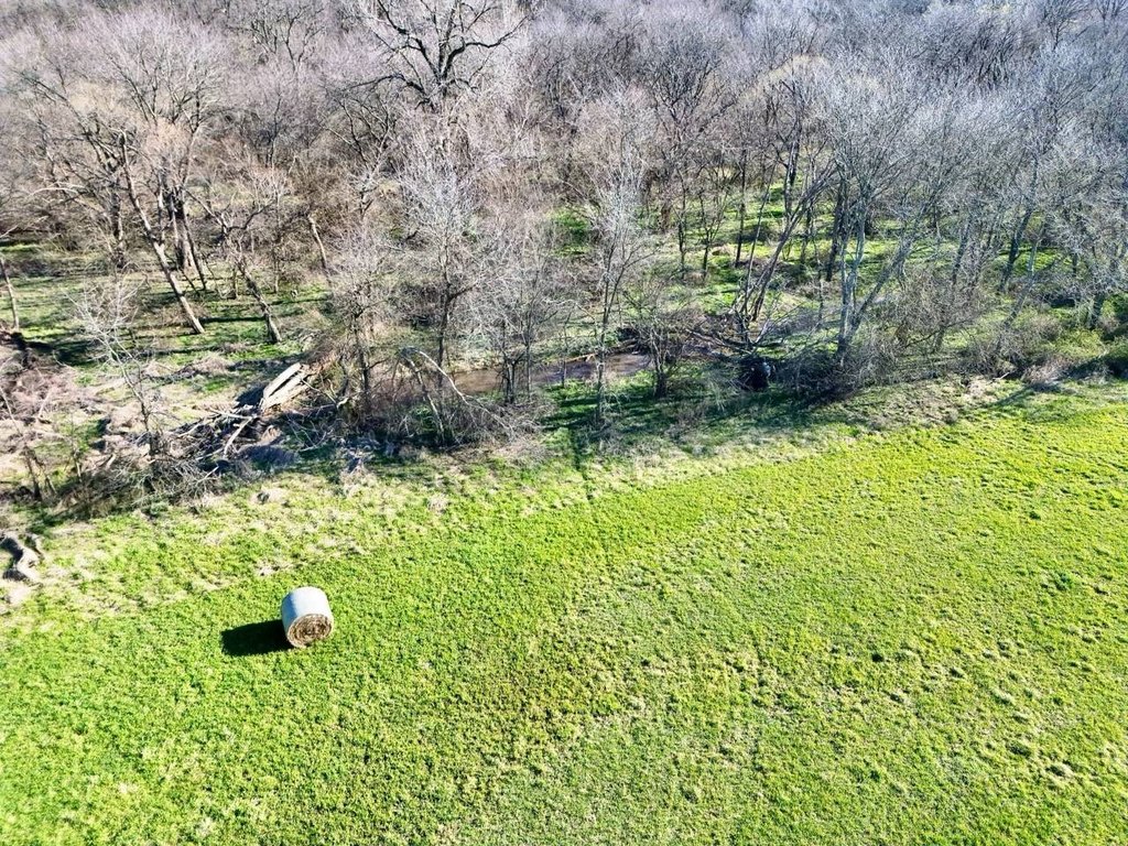
- West Fork Medicine Creek winds through the property as a year‑round water source
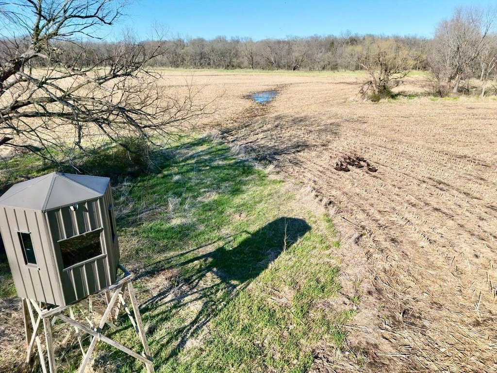
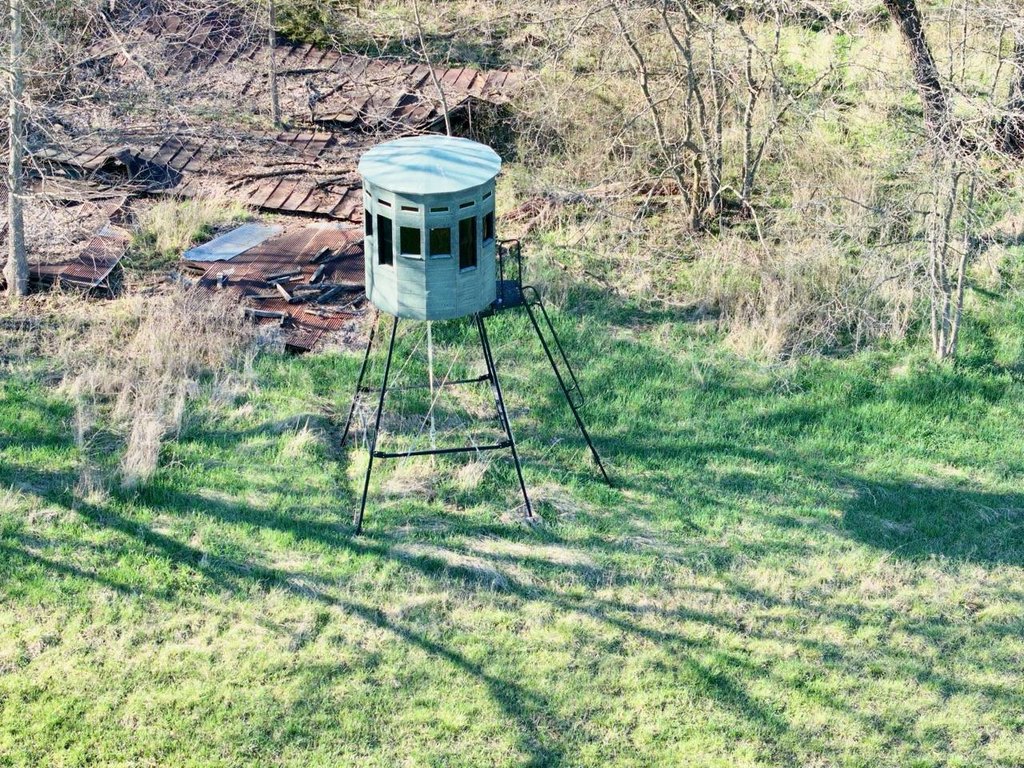
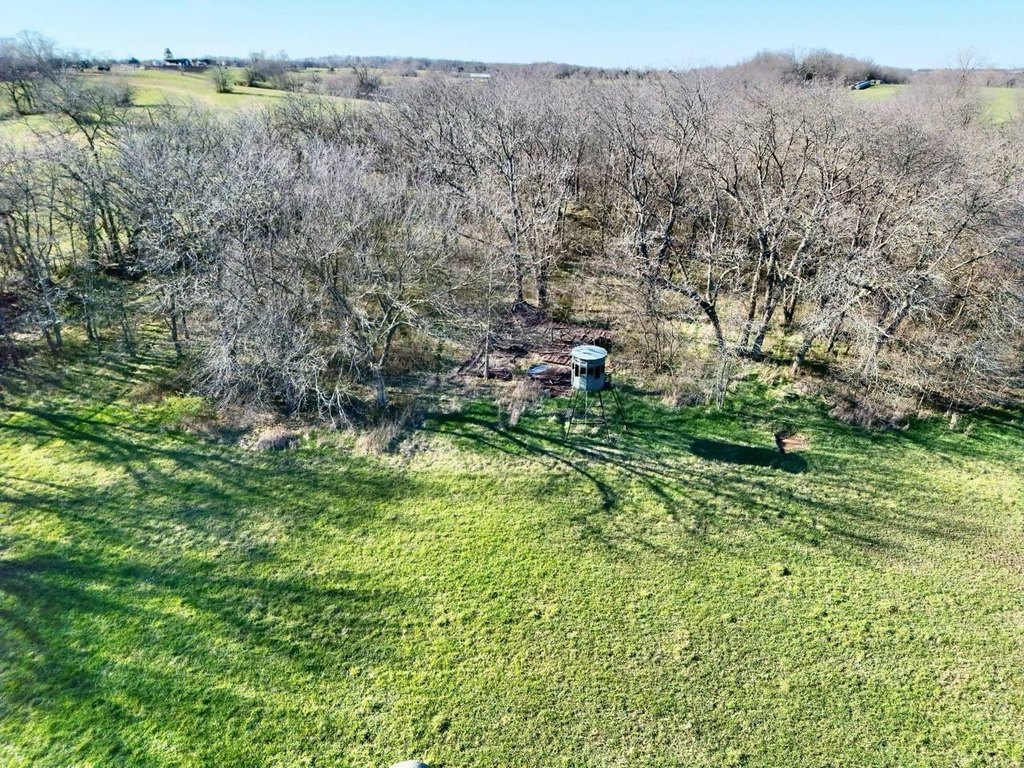
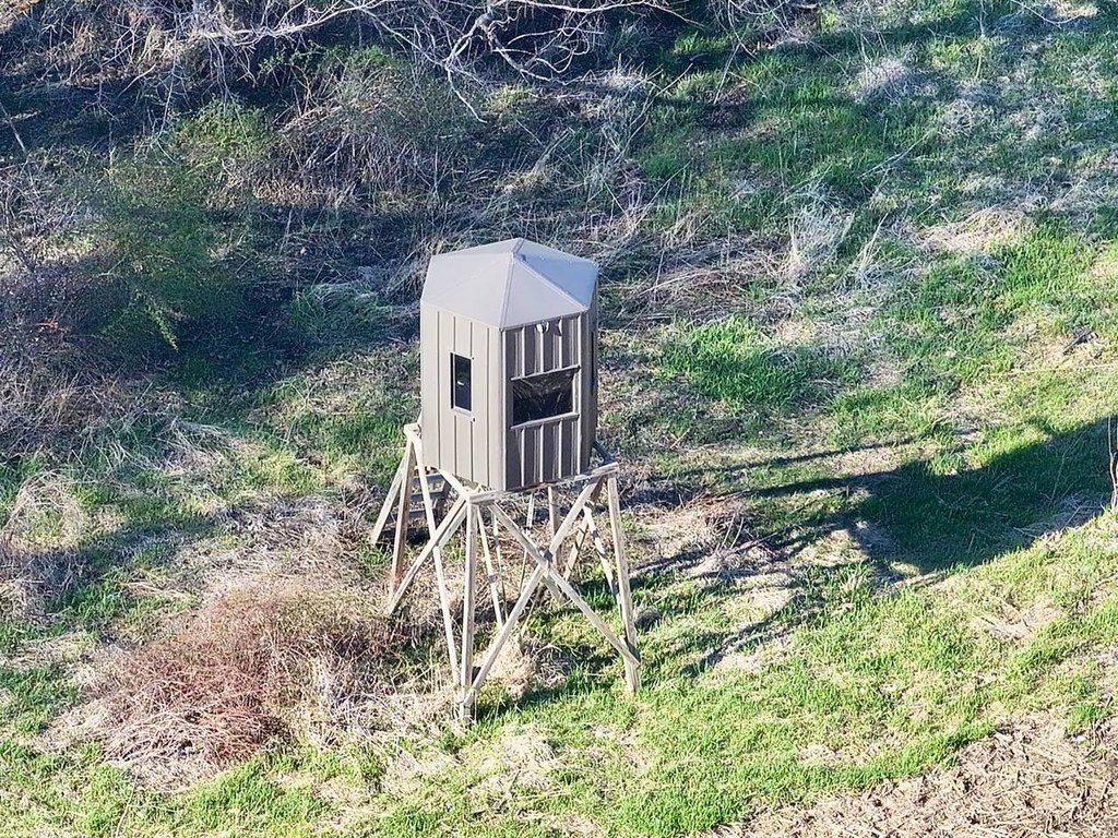
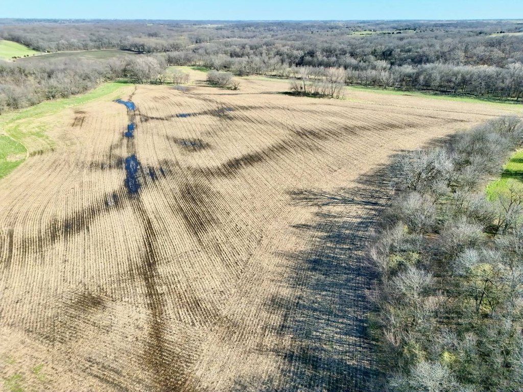
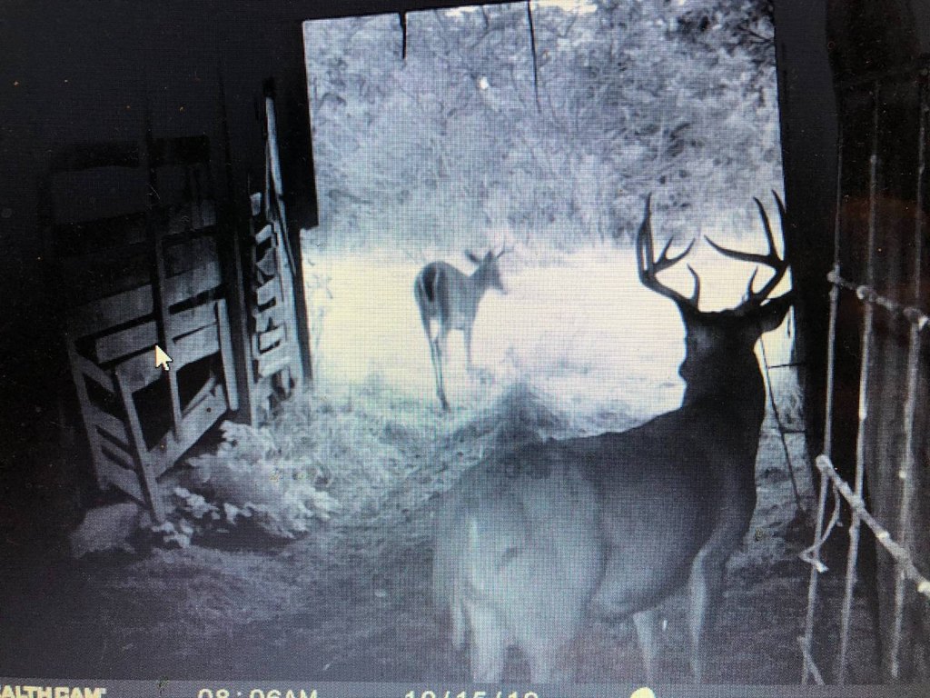
- Established food plots with blinds already in place for hunting
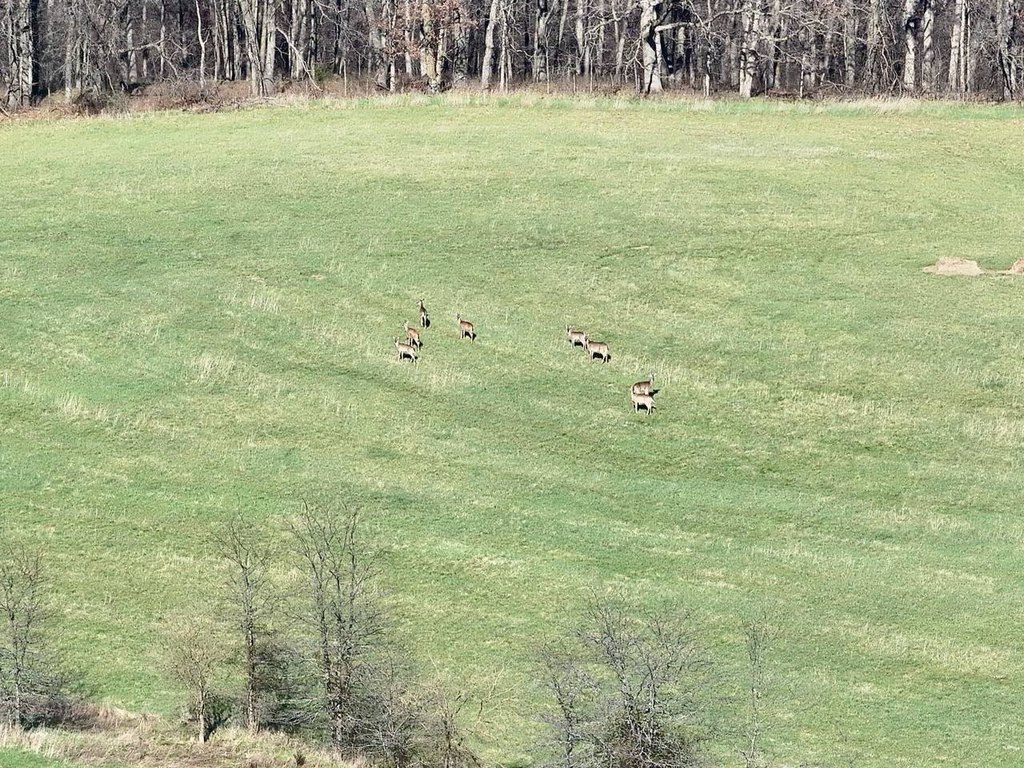
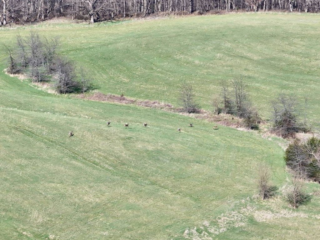
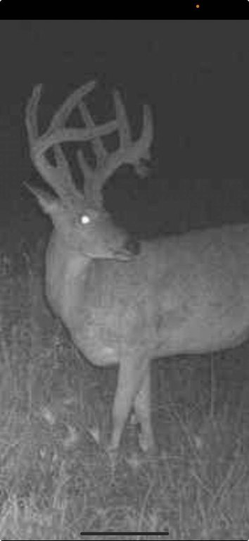
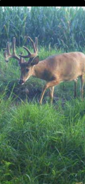
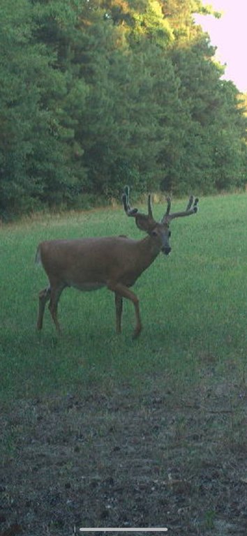
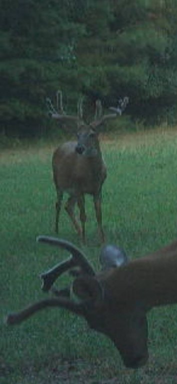
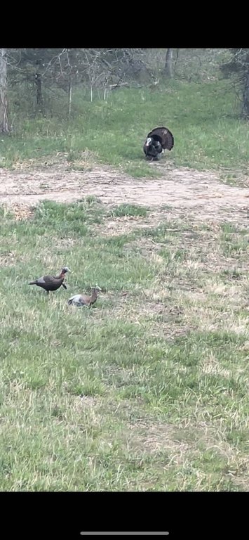
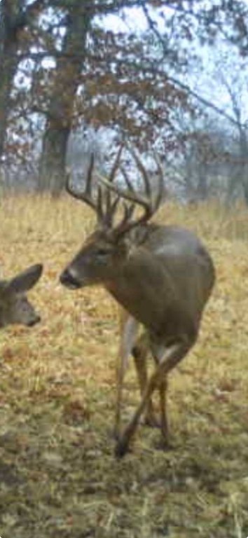
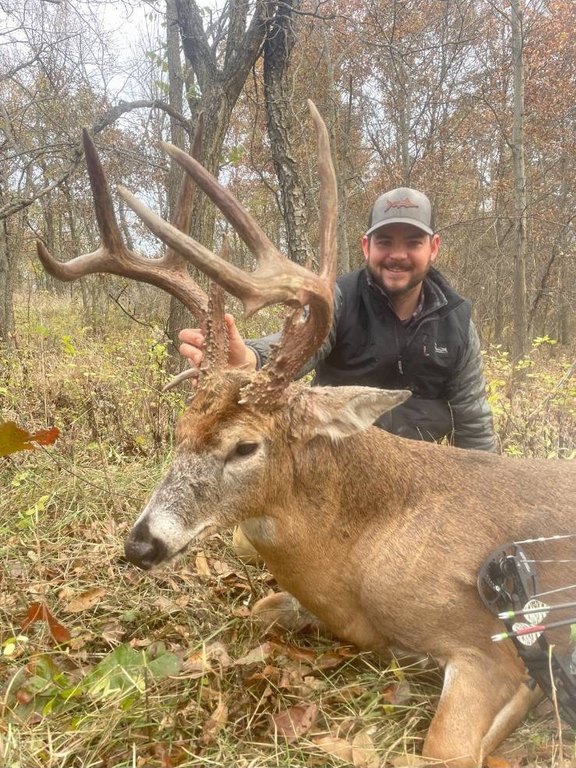
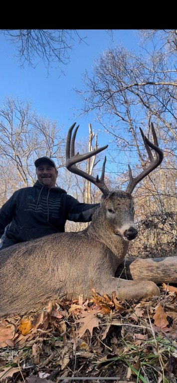
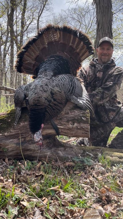
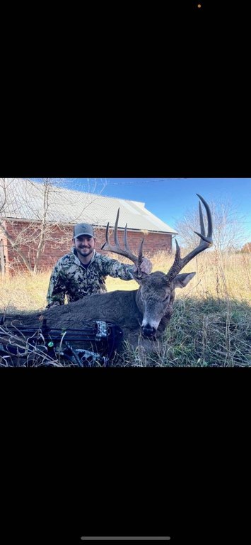
- Managed deer herd with a proven history of mature whitetail harvests and established age structure
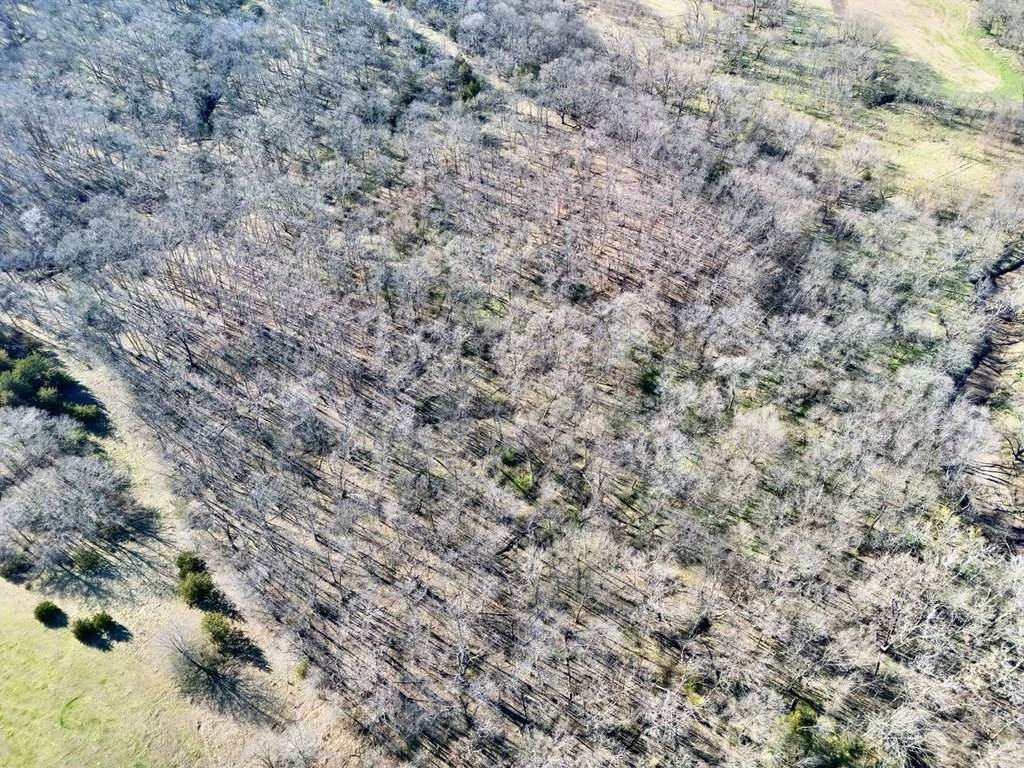
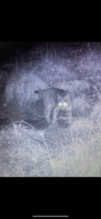
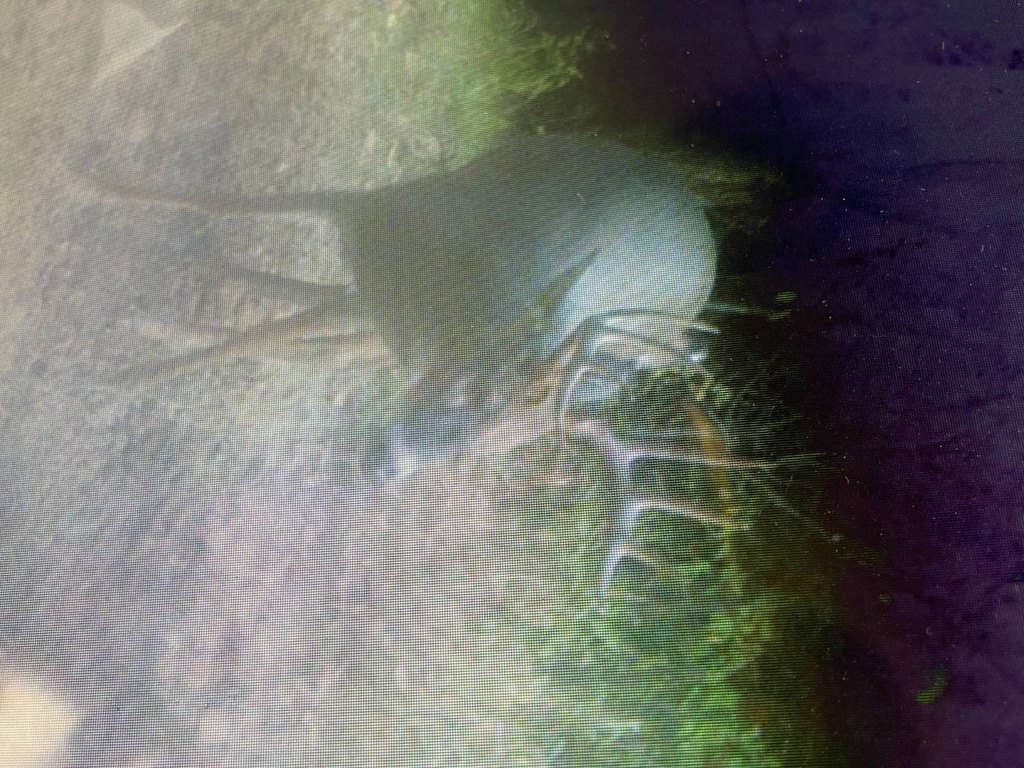
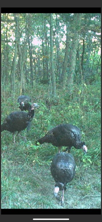
- Expansive mature timber cover plus creek corridor for bedding habitat and travel routes for deer and turkeys
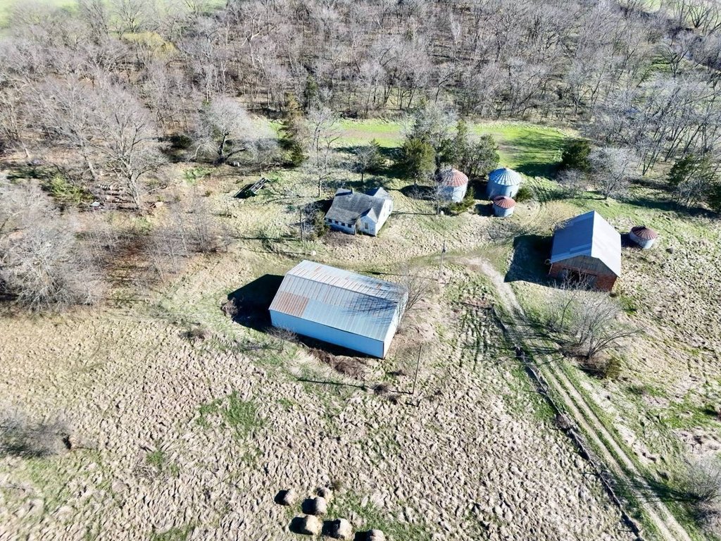
- Includes multiple outbuildings and annual CRP income
Overview
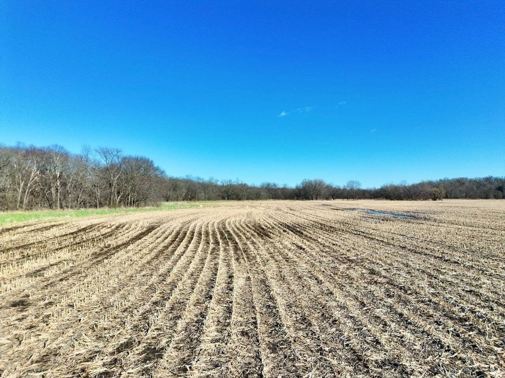
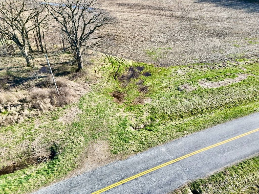
Located in Putnam County, Missouri, near Powersville, the property benefits from a rural setting with a creek corridor and timber bedding areas that hunters look for in North Missouri farms.
For buyers seeking a turnkey hunting property, the combination of established food plots, existing blinds, mature timber cover, and a year-round water source supports an on-site hunting program. The listing also notes a proven history of mature whitetail harvests and an established deer age structure, along with annual CRP income, giving the land both recreational and income components.
Current Use by Public Records
Map
- City
- Powersville
- County
- Putnam
- State
- Missouri
- Longitude
- -93.334291
- Latitude
- 40.540785


