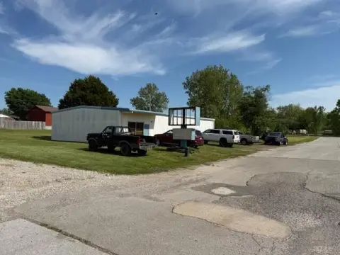
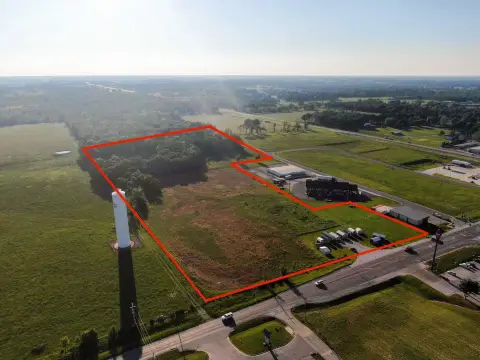
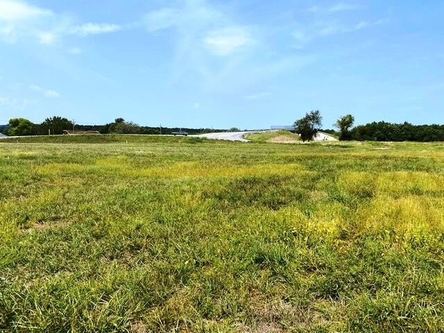
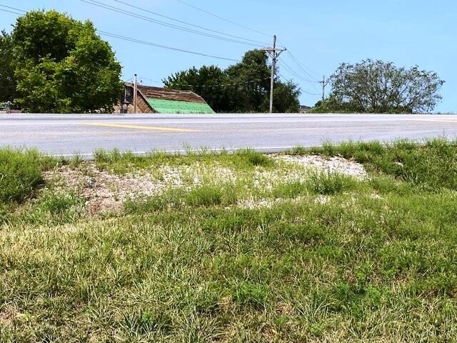
Highway 39, Aurora, MO 65605
- Added:
- Mar 20, 2023
- Days on Market:
- 1205
- Last Refresh:
- Jul 6 at 2:06 pm
Property Features for Highway 39
General Information
- Property type
- Land
- Property subtype
- Other
- Standard status
- Active
- APN
- 191012003002002000
- Lot size
- 1.95 Acres
Taxes and HOA fees
- Tax Year
- 2020
- Tax Description
- BEG NE COR LT 13 HUELLHORST S/D, THEN W98' NE17' NW234.88' SW57' NW80' W85', N490' E110', THEN RUNNING SOUTH OF HWY 39 & E APPROX 370', THEN S TO POB ALSO, A TRI PC LYING BETWEEN HWY 39 & CARNATION DR SW COR NW SW
- Tax Annual Amount
- 6
Listing agent DICK BUEHLER (417) 466-0670
Listing office Century 21 Family Tree 1004 S. Elliott Ave., Aurora, MO (417) 678-2121
Listing date Mar 20, 2023
Copyright © 2026 Southern Missouri Regional MLS, LLC (SOMO). All rights reserved. All information provided by the listing agent/broker is deemed reliable but is not guaranteed and should be independently verified.
HighLights
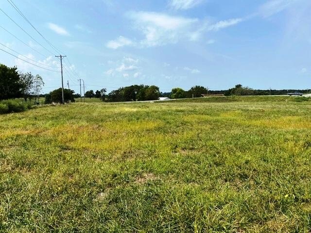
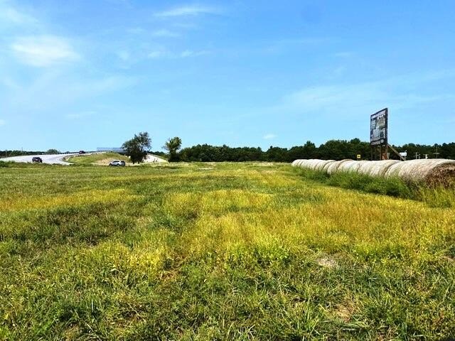
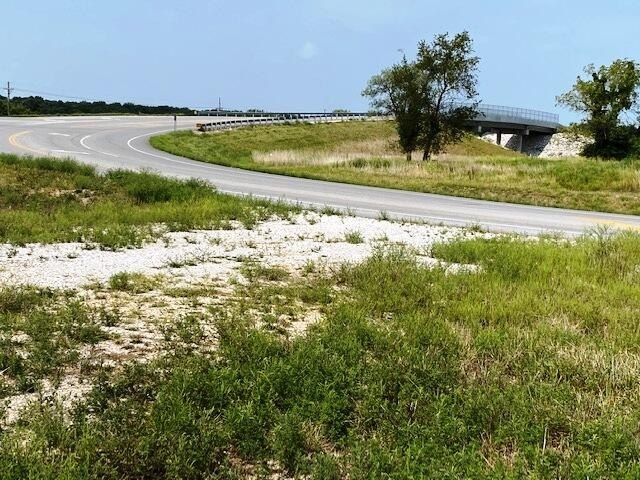
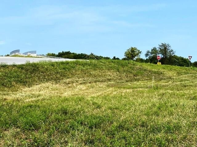
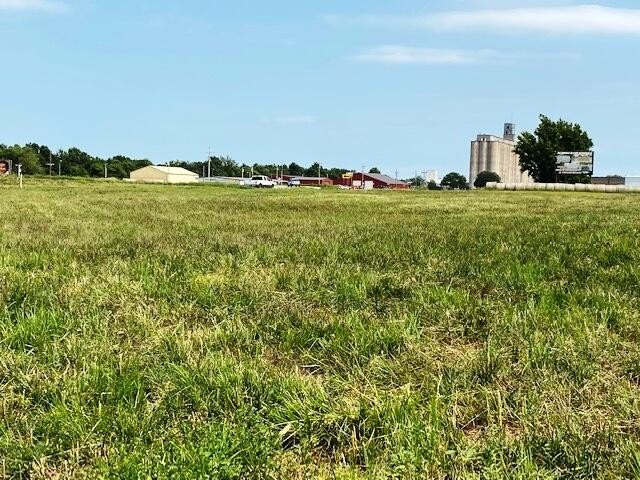
- Prime location at the corner of Carnation and Highway 39/265.
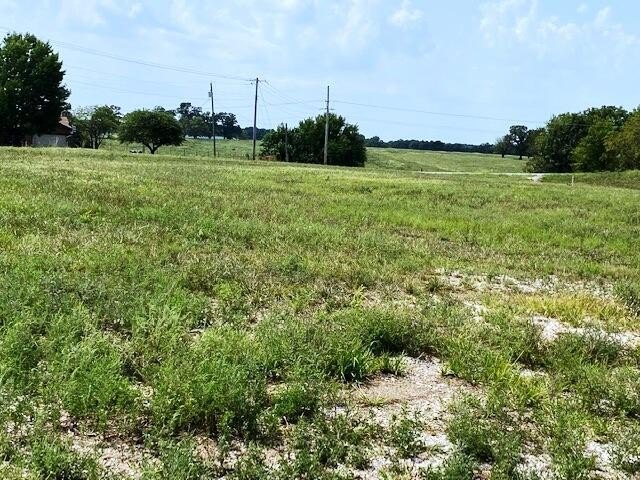
- 1.95 acre corner lot with high visibility.
- Two driveways: one on Highway 39/265, one on Carnation Drive.
- Zoned C‑2 for commercial use (convenience store, etc.).
- Potential for residential use.
- Located on the north edge of Aurora.
Current Use by Public Records
Map
- City
- Aurora
- County
- Lawrence
- State
- Missouri
- Longitude
- -93.735337
- Latitude
- 36.975128