SR.466 KM 11.7 BAJURA WD, Isabela 00662
- Added:
- Jun 16, 2026
- Days on Market:
- 5
- Last Refresh:
- Jun 20 at 11:06 am
Property Features for SR.466 KM 11.7 BAJURA WD
General Information
- Property type
- Land
- Property subtype
- Other
- Zoning
- SREP-E
- Standard status
- Active
- APN
- 003-000-007-90
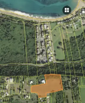
- Lot size
- 6.68 Acres
Building Details
- Architectural style
- Other
Listing agent Irithell Gonzalez License #24530 (787) 549-2938
Listing office KELLER WILLIAMS GRAND HOMES 612 Aldebaran St., San Juan (787) 706-8400
Listing date Jun 16, 2026
Copyright © 2026 Stellar MLS. All rights reserved. All information provided by the listing agent/broker is deemed reliable but is not guaranteed and should be independently verified.
HighLights
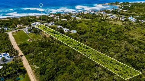
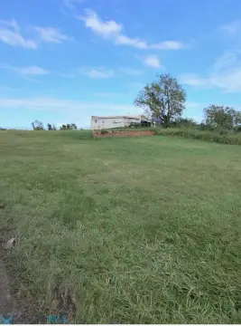
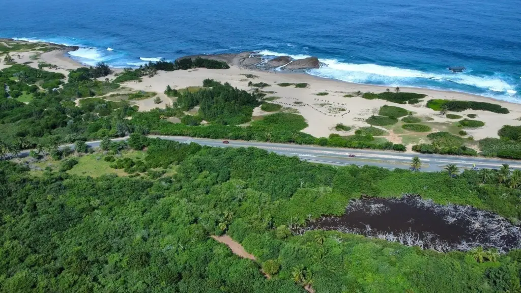
- Land for sale in Isabela, Puerto Rico, located within the Special Planning Area of the Karst Region (APE‑ZC).
- Classified as SREP‑E (Specially Protected Rustic Land – Ecological) with land use classifications including PUT: SREP‑E and VIAL.
- Recommended permitted uses include ecotourism projects, hiking trails, bird watching, and environmental conservation/research/education.
- Residential or commercial construction is not permitted due to the property’s protected classification; only light, non‑permanent structures with proper permits.
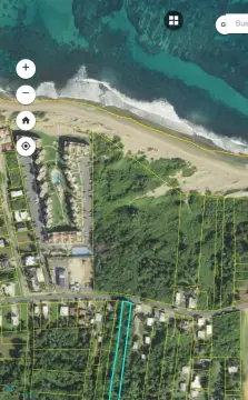
- Flood zone includes VE/AE and the property is not located in a designated floodway.
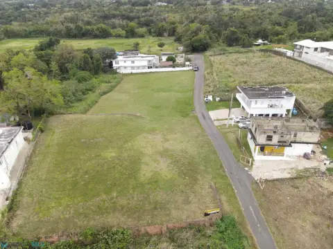
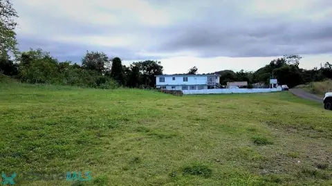
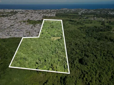
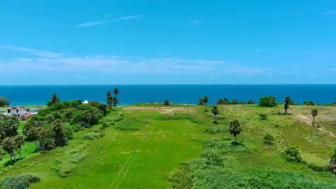
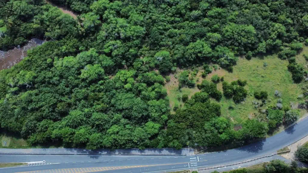
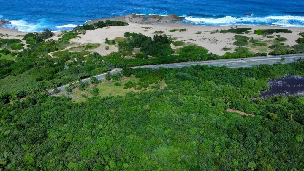
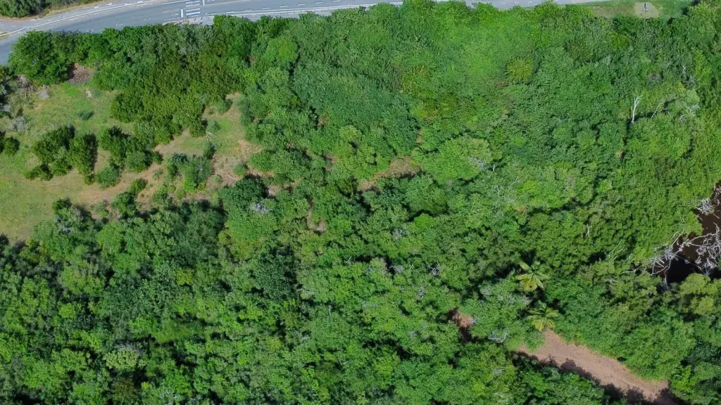
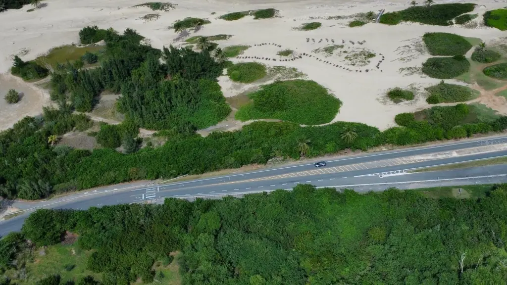
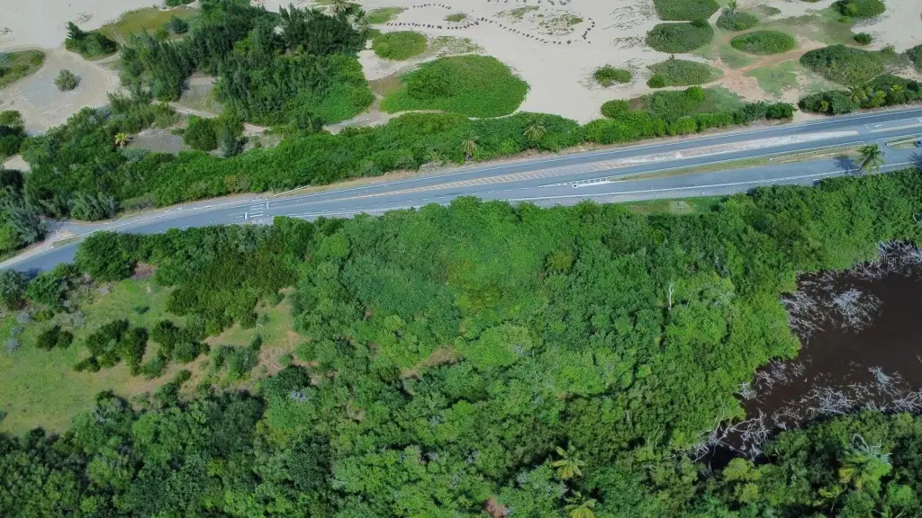
- Direct access from the main road; surrounded by protected natural landscapes including dunes, native vegetation, and ecological corridors.
Overview
The site is described as having direct access from the main road and is surrounded by protected natural landscapes, including dunes, native vegetation, and ecological corridors. The parcel is identified as located in flood zones VE/AE and is not located in a designated floodway. The NRCS soil classification is listed as Ch and Td.
For buyers and operators seeking land for conservation-aligned uses, outdoor recreation, or education-focused projects, this property’s restrictions should be evaluated early against the permitting path with OGPe, the Puerto Rico Planning Board, and the Department of Natural and Environmental Resources (DRNA). Any future use or development will need to comply with the applicable Land Use Plan and Joint Permits Regulation described in the listing materials.
Current Use by Public Records
Map
- City
- Isabela
- County
- Toa Baja
- State
- Longitude
- -67.0439254
- Latitude
- 18.51927816