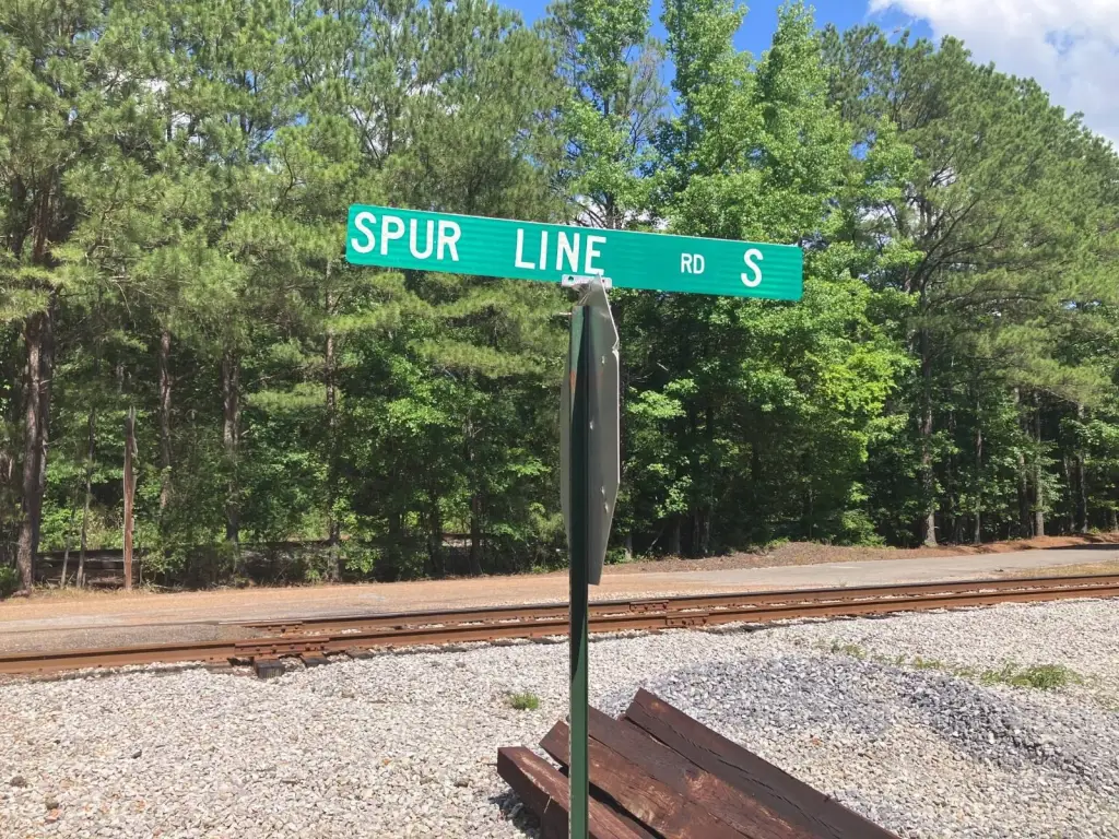
0 Spurline Road, Columbus, MS 39702


- Added:
- Jun 10, 2026
- Days on Market:
- 15
- Last Refresh:
- Jun 24 at 11:06 am
Property Features for 0 Spurline Road
General Information
- Property type
- Land
- Property subtype
- Other
- Parking features
- Garage
- Standard status
- Active
- APN
- 74W000009200
- Lot size
- 40.00 Acres
Taxes and HOA fees
- Tax Annual Amount
- 0
Building Details
- Architectural style
- Other

Listing agent Tom Monaghan (662) 312-7687
Listing office Wildwood Properties 398 E Main St., Tupelo, MS (662) 205-0533
Listing date Jun 10, 2026
Copyright © 2026 My State MLS. All rights reserved. All information provided by the listing agent/broker is deemed reliable but is not guaranteed and should be independently verified.
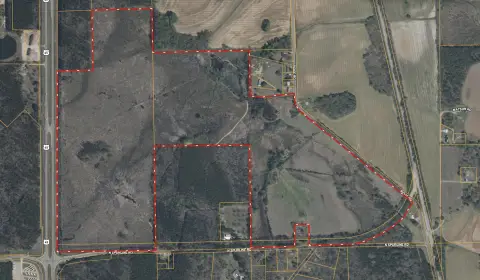
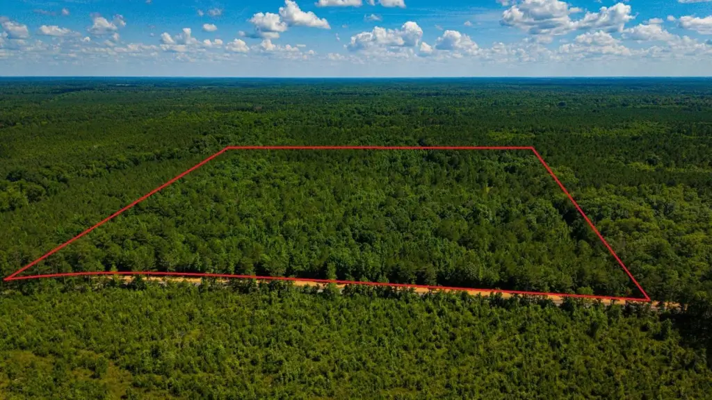
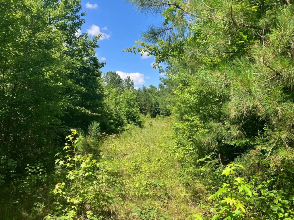
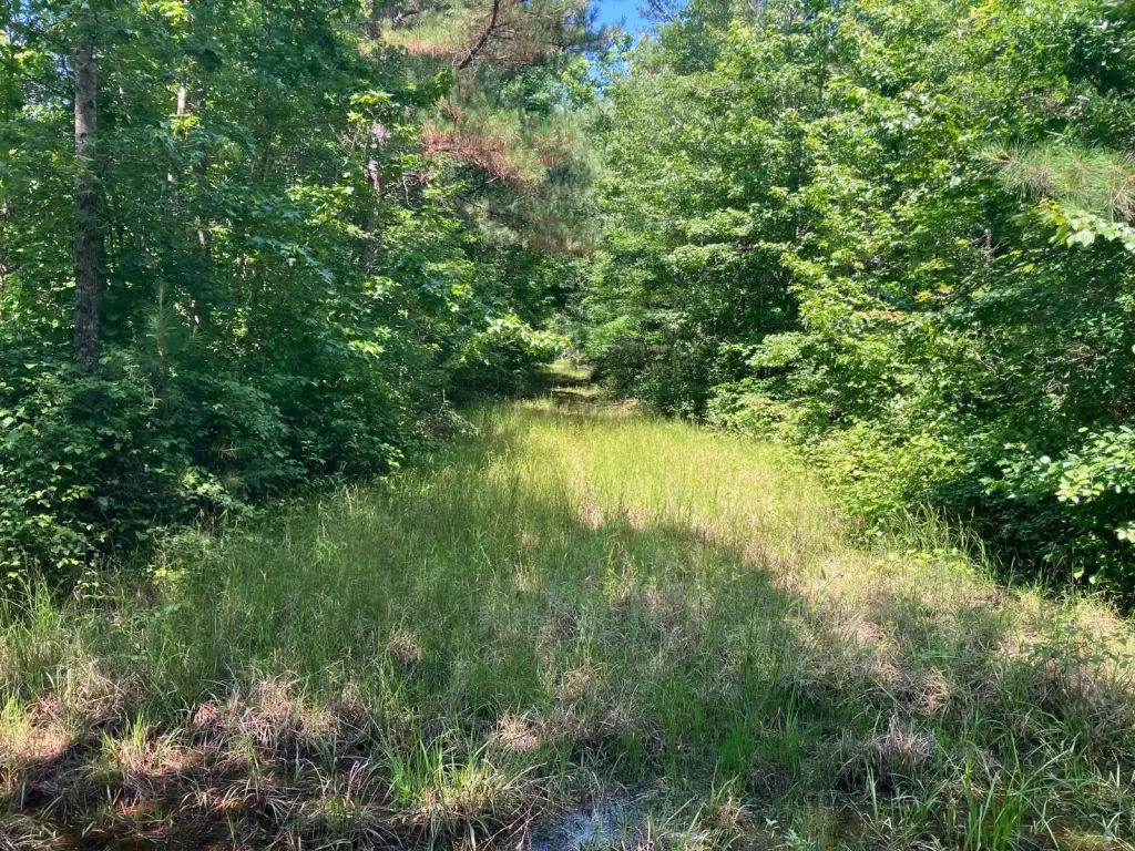
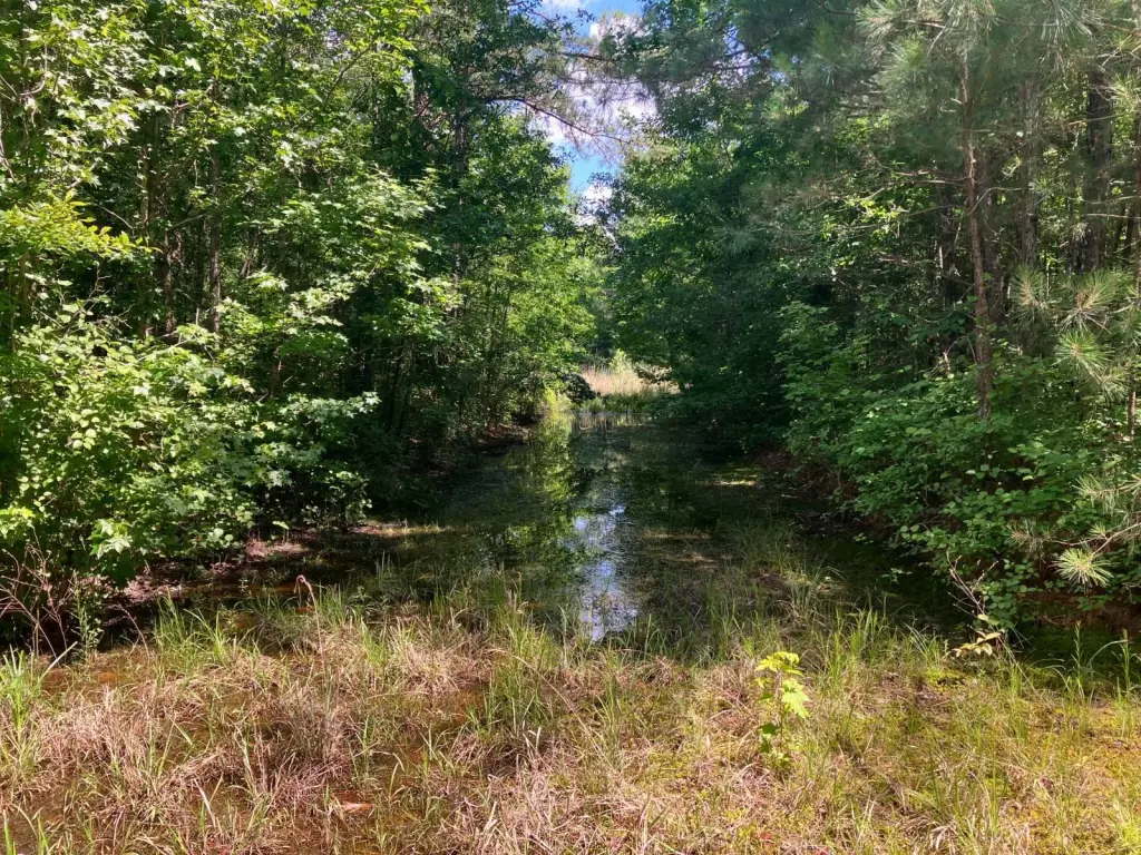
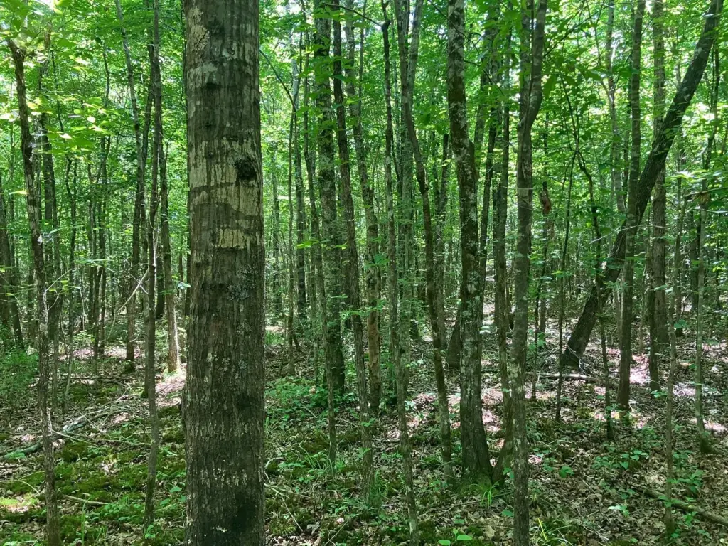
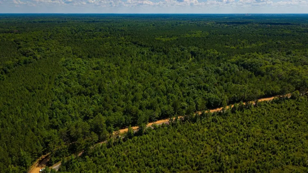
HighLights
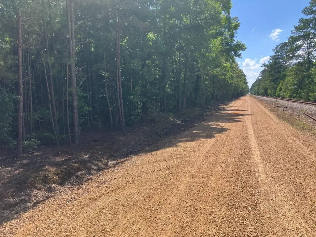
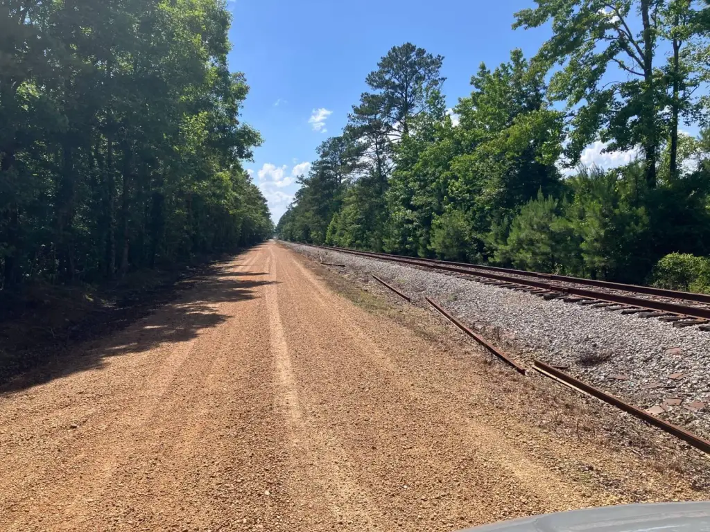
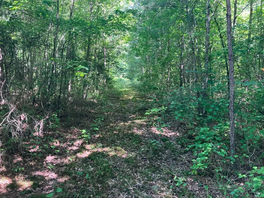
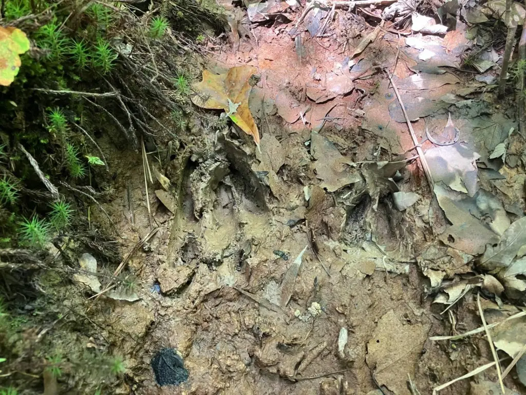
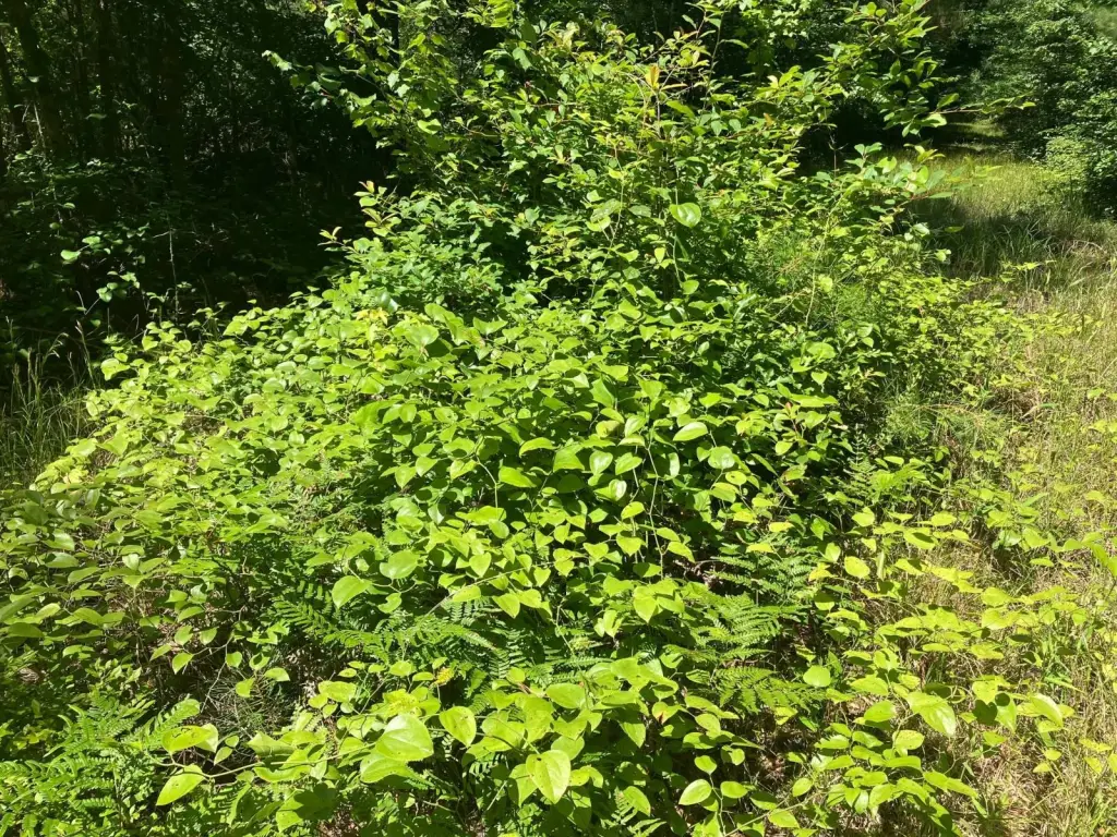
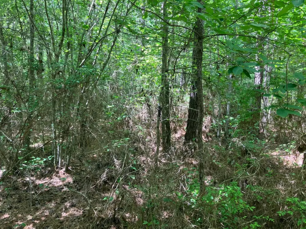
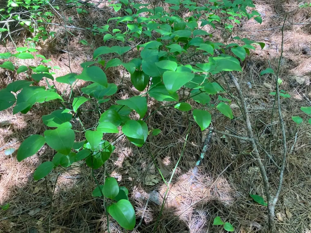
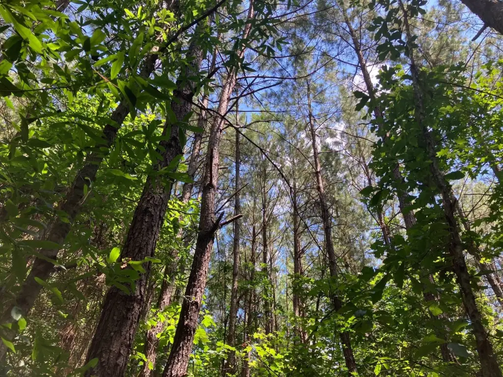
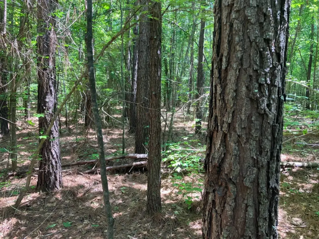
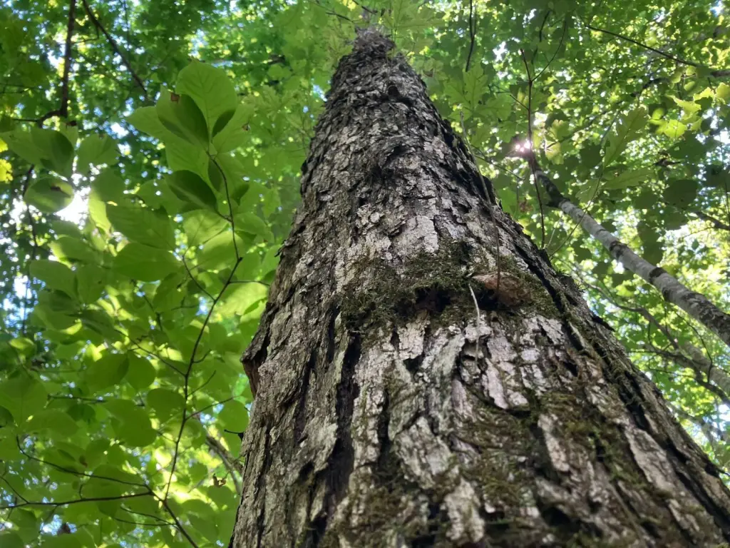
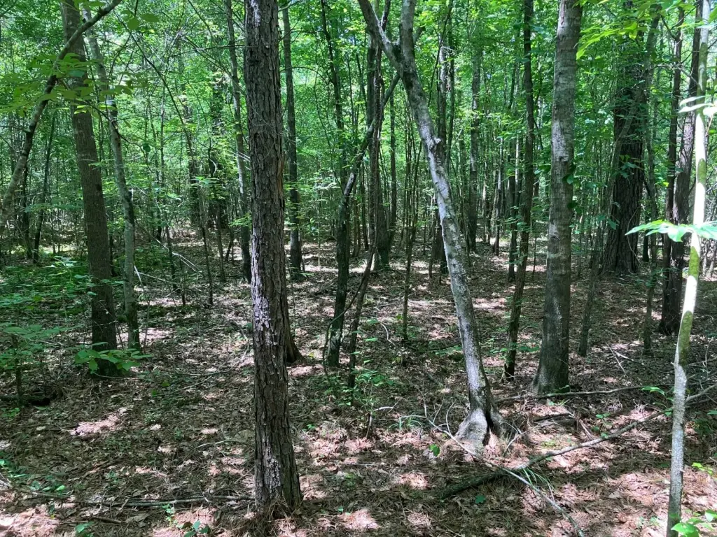
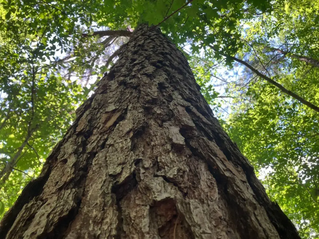
- Woodland tract with natural hardwoods and naturally‑regenerated loblolly pine
- Timber age: most roughly 19 years old, with some older trees scattered throughout
- Well‑stocked with red oak, white oak, hickory, sweetgum, and loblolly pine
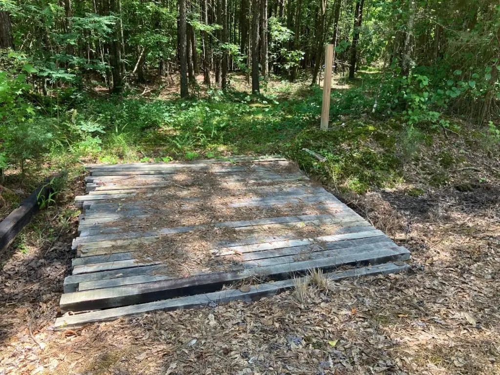
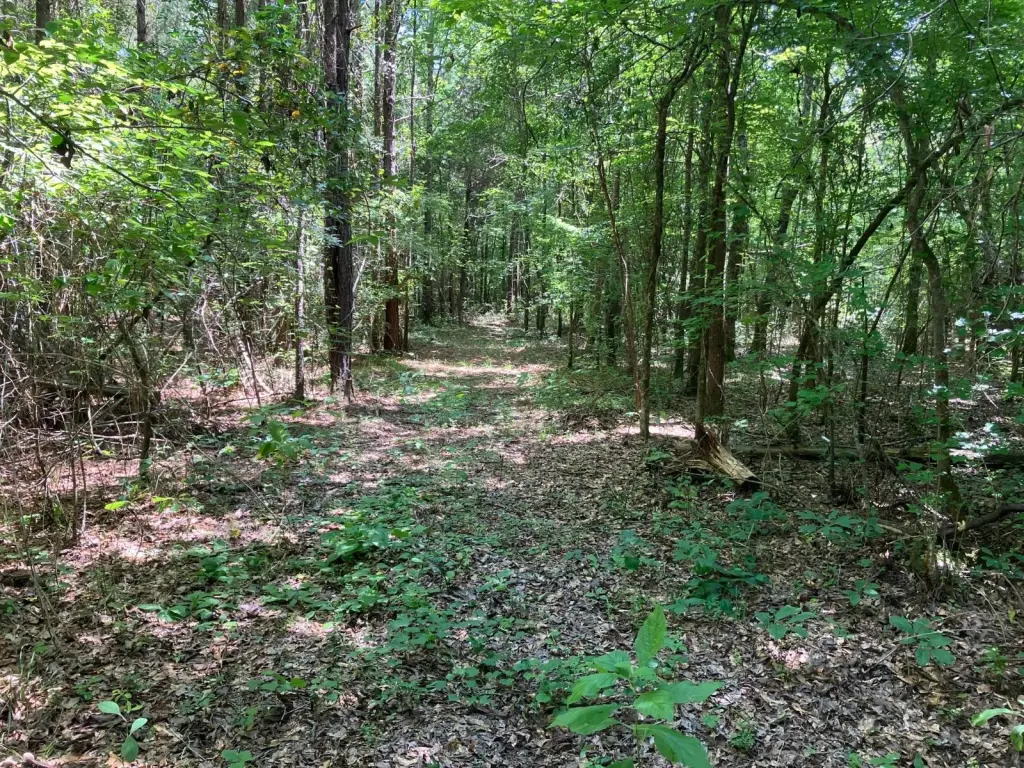
- Relatively level land with several sites for homes or hunting cabins
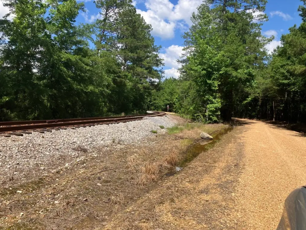
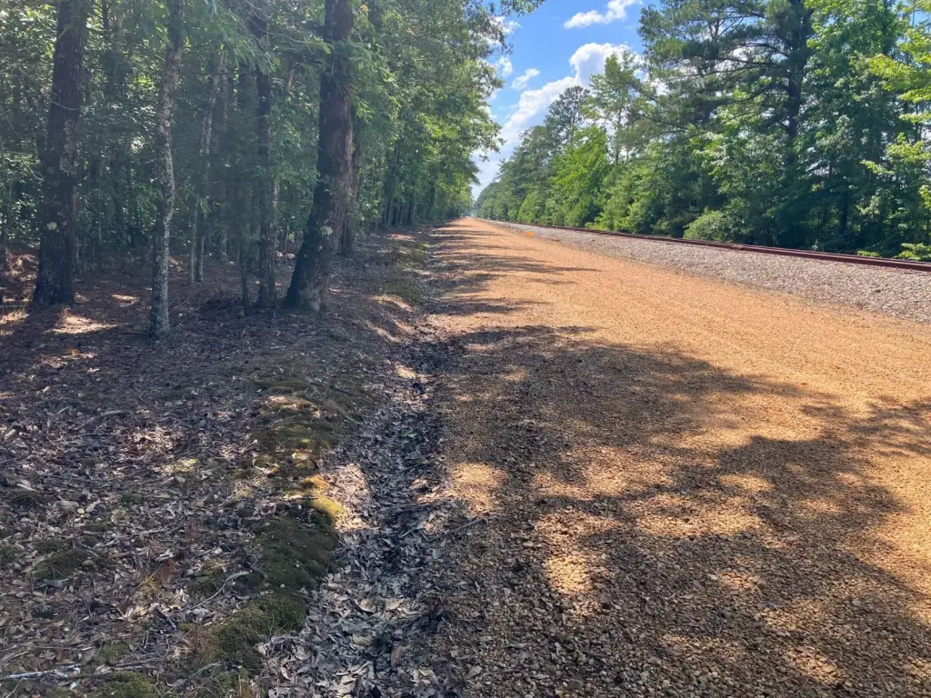
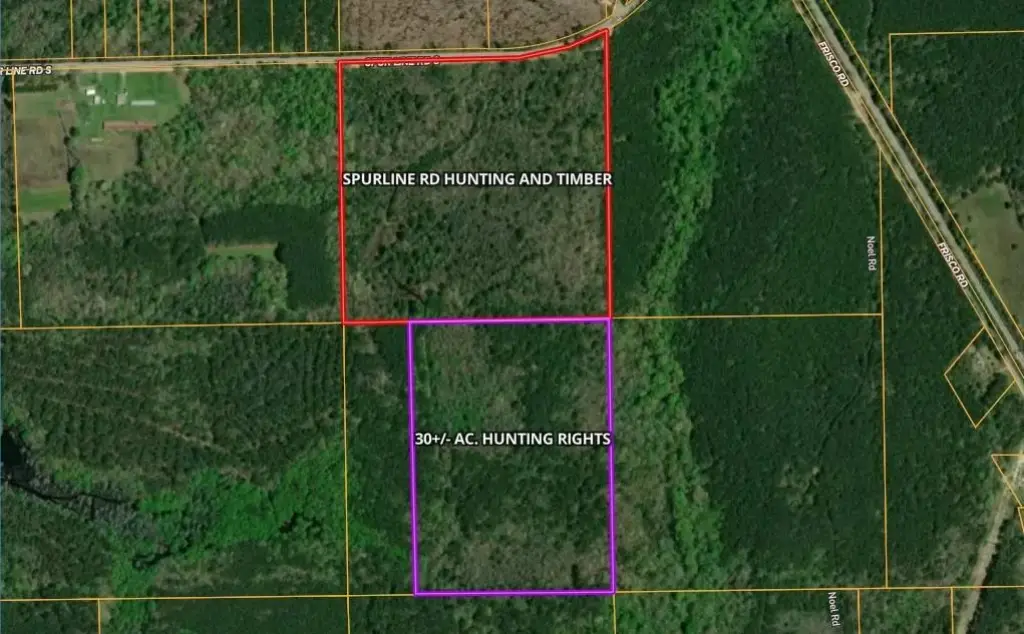
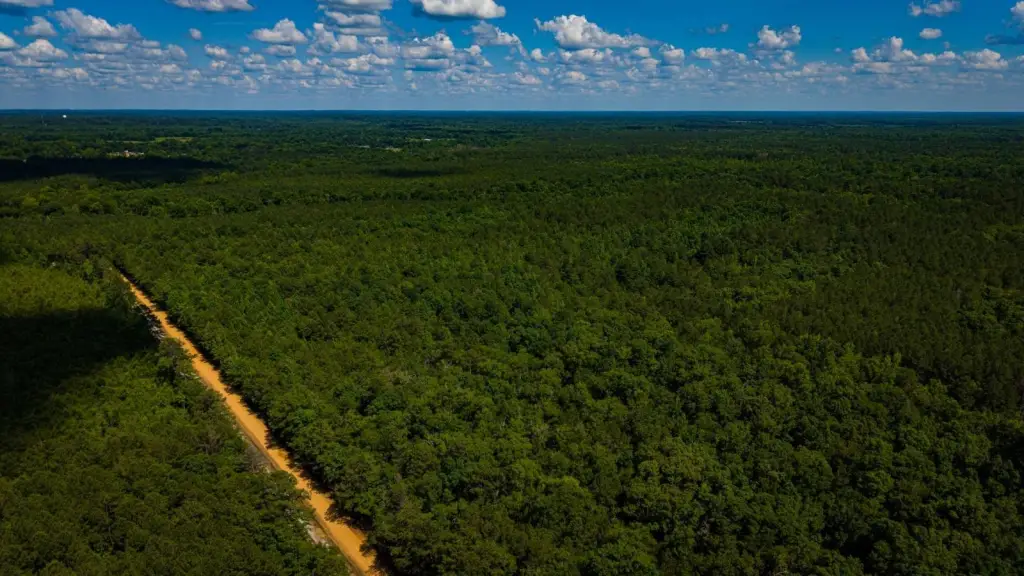
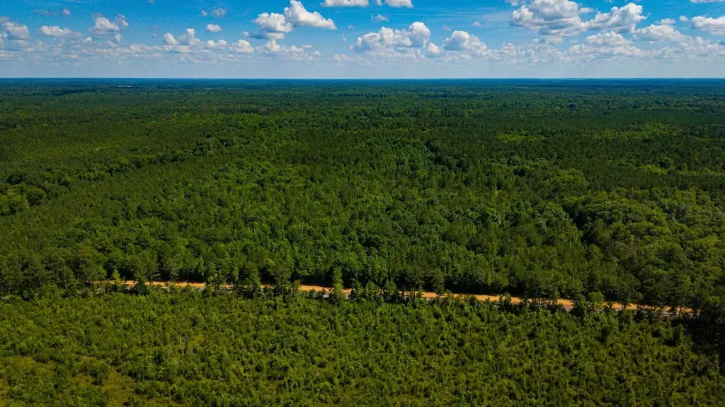
- About a quarter mile of frontage with easy development of entrances along the property
- Includes hunting rights on an additional 30+/- acres south and adjacent to the property
Overview
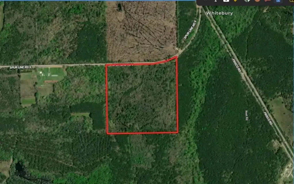
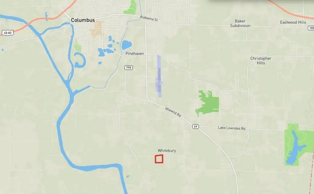
Access and boundaries are a key part of the layout. The property has virtually the entire quarter mile of frontage described as usable for easy development of entrances. It is approximately six miles south of Hwy 182 via Hwy 69, with directions to the west end of Spurline Road via Nashville Ferry Road or to the east end via Frisco Road. For reference, the provided Parcel ID is 74W000009200. The Public Land Survey System location is the NE 1/4 of the SE 1/4 of Section 11, Township 19 South, Range 18 West.
For buyers looking for a recreational and residential-style timber tract, the combination of mixed woodland cover, multiple potential food-plot areas, and easy entrance development supports flexible use. Hunting enthusiasts should also note the mention of additional hunting rights on 30+/- acres south of and adjacent to the property, which would increase the overall hunting area. Please contact the listing broker for additional details on the hunting-rights arrangement and property specifics.
Current Use by Public Records
Map
- City
- Columbus
- County
- Lowndes
- State
- Mississippi
- Longitude
- -88.381297
- Latitude
- 33.426555