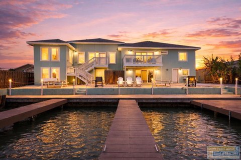
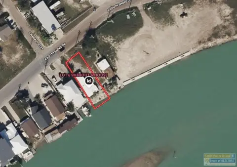
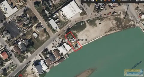
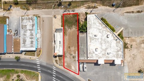
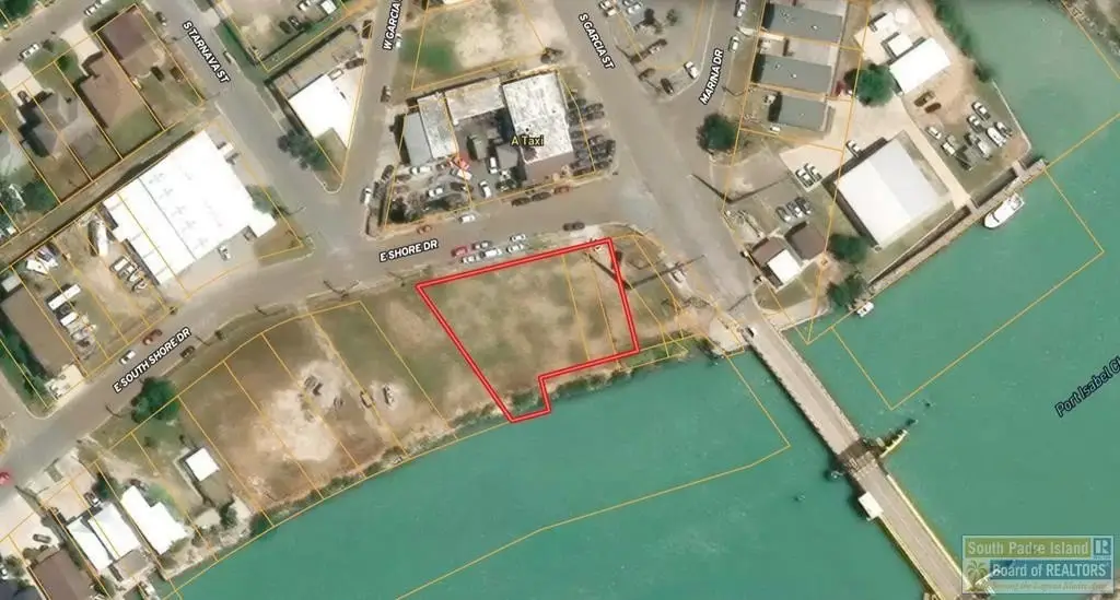
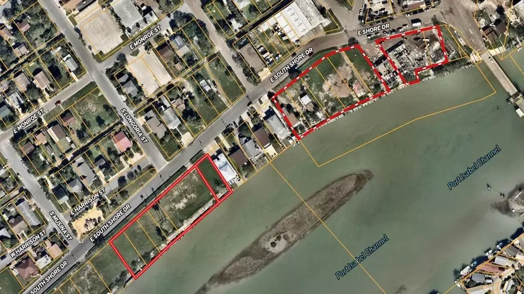
South Shore lot 16-18, Port Isabel, TX 78578
LAND - Port Isabel, TX
- Added:
- Jun 25, 2026
- Days on Market:
- 3
- Last Refresh:
- Jun 27 at 6:06 pm
Property Features for South Shore lot 16-18
General Information
- Property type
- Land
- Property subtype
- Other
- Zoning
- Res
- Standard status
- Active
Taxes and HOA fees
- Tax Year
- 2025
- Tax Annual Amount
- 4737
Utilities
- Utilities
- Water Available
- Water front
- 1

Listing agent Padre Elite Team License #9007399 (956) 433-8564
Listing office RE/MAX Elite 103 S Garcia St., Mission, TX (956) 433-5648
Listing date Jun 25, 2026
Copyright © 2026 South Padre Island Board of Realtors. All rights reserved. All information provided by the listing agent/broker is deemed reliable but is not guaranteed and should be independently verified.
HighLights
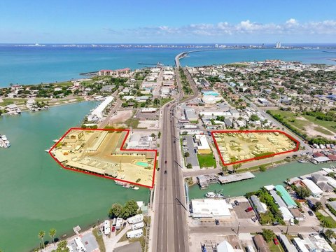
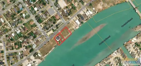
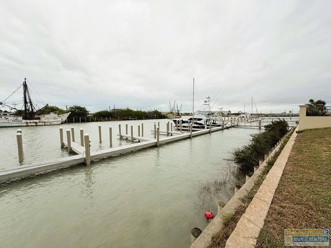
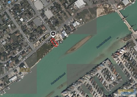
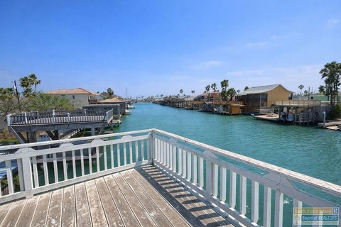
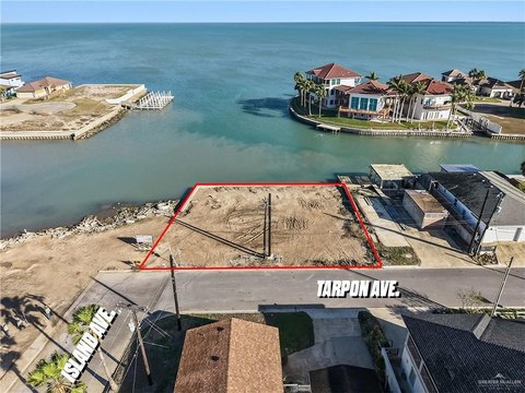
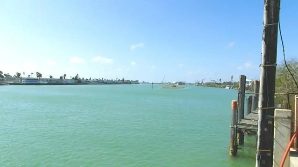
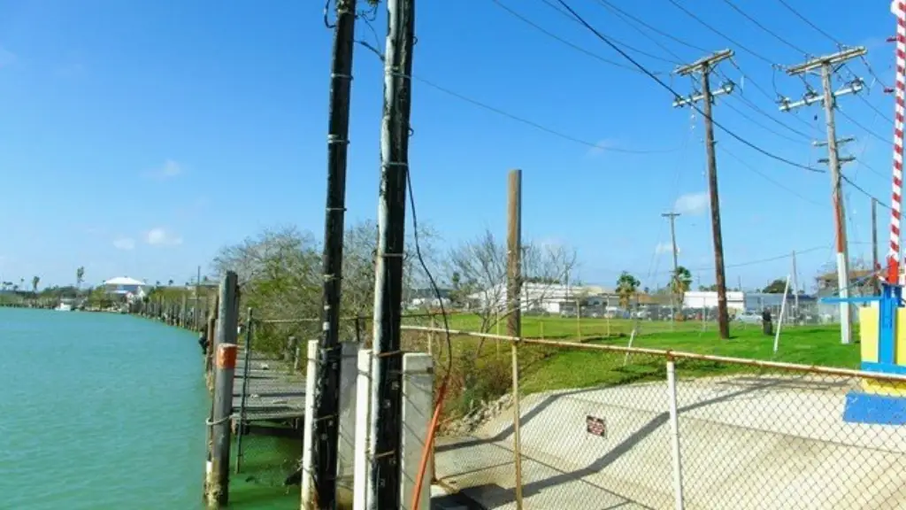
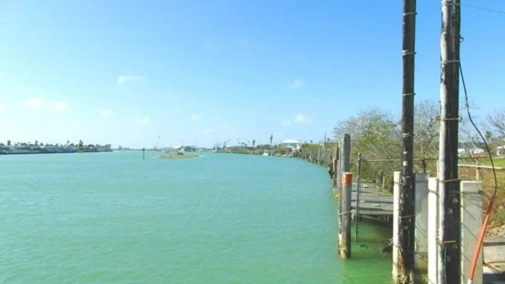
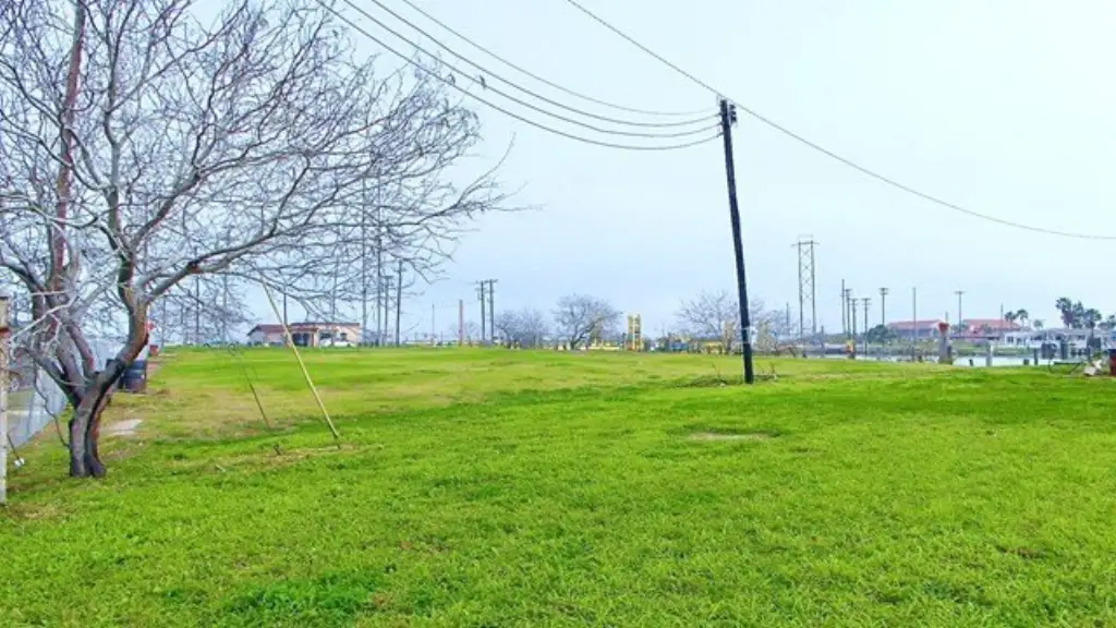
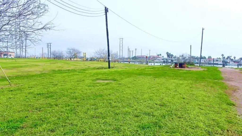
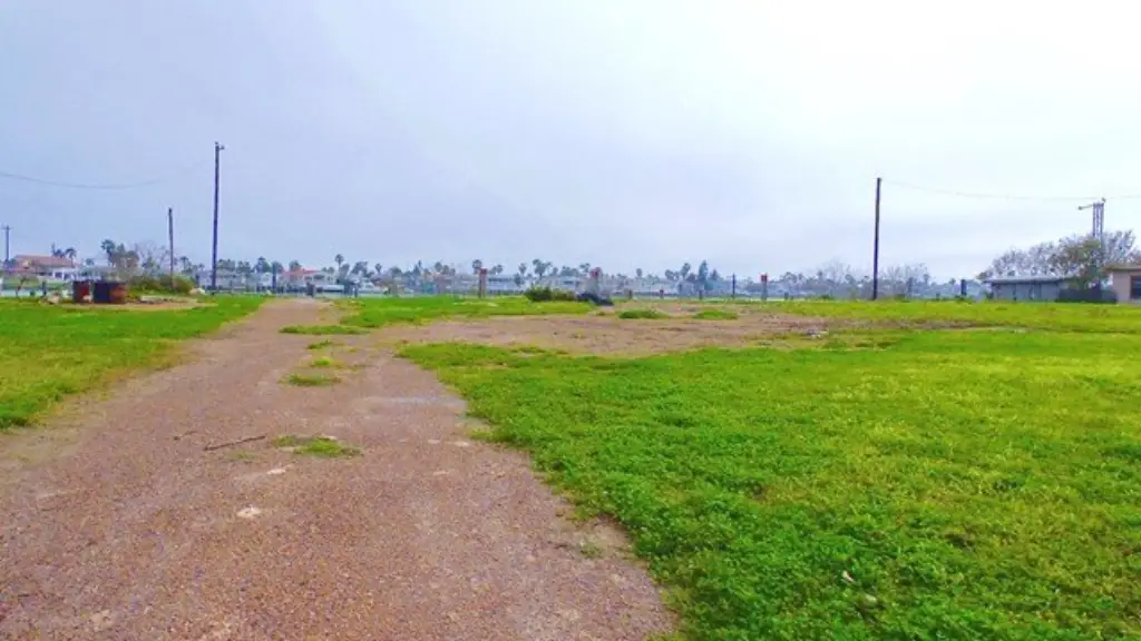
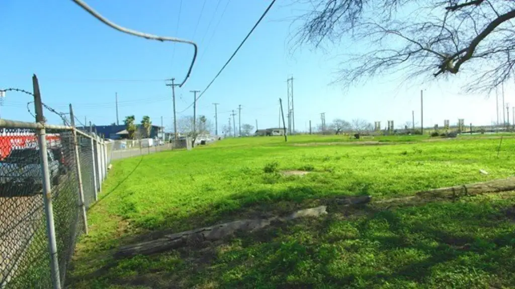
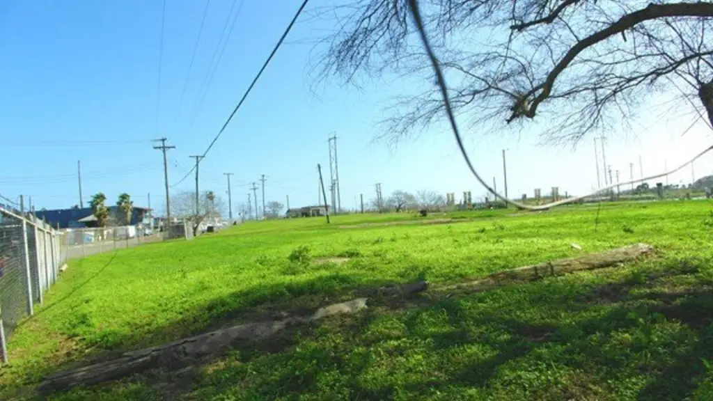
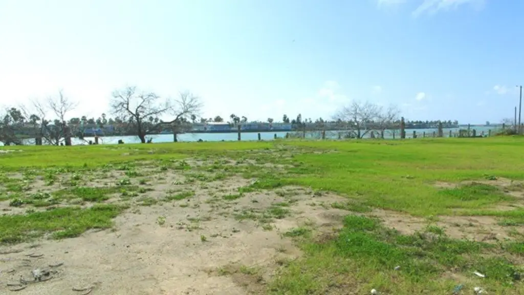
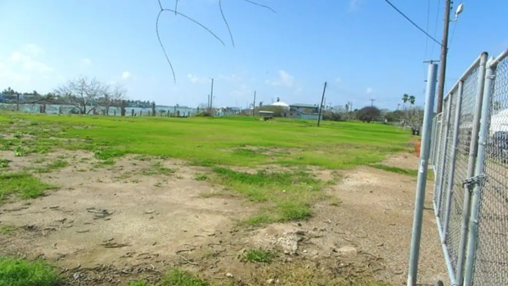
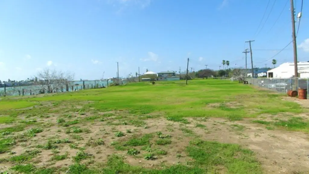
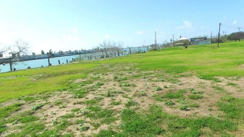
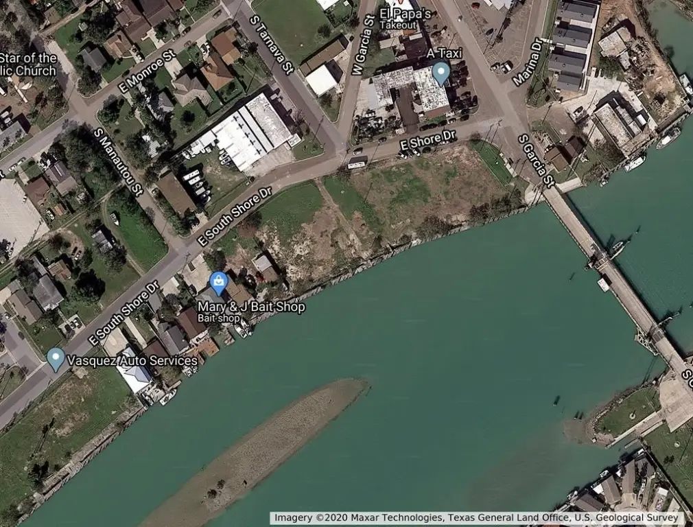
- Opportunity Zone waterfront offering with approx. 150' of frontage on the Intracoastal Waterway.
- 3 lots, each approx. 50' wide, adjacent to Swing Bridge in Port Isabel (Garcia St. and South Shore).
- Water available at the property.
- Located near the Brownsville Ship Channel and the Jetties in South Padre Island.
- Close to the Gulf of Mexico and the Mexico border.
Overview
The land is noted as being close to the Brownsville Ship Channel, the jetties in South Padre Island, and the Gulf of Mexico. It is also described as near the Swing Bridge and the Mexico border, with the Intracoastal Waterway extending from Brownsville to Boston. In addition, the remarks cite proximity to major Port of Brownsville expansion activity.
Zoned Res, the property is presented as a flexible waterfront site for either commercial or residential development, depending on how proposed uses align with local requirements. The combination of multiple contiguous lots and substantial water frontage can be attractive for buyers planning a single coordinated waterfront project or phased development.
Current Use by Public Records
Map
- City
- Port Isabel
- County
- Cameron
- State
- Texas
- Longitude
- -97.2105695
- Latitude
- 26.0723154