BO. DESCALABRADO, Santa Isabel 00757
- Added:
- Jun 10, 2026
- Days on Market:
- 3
- Last Refresh:
- Jun 12 at 4:06 pm
Property Features for BO. DESCALABRADO
General Information
- Property type
- Land
- Property subtype
- Other
- Zoning
- SRC
- Standard status
- Active
- APN
- 392-036-289-01-000
- Lot size
- 5.07 Acres
Taxes and HOA fees
- Tax Year
- 2025
- Tax Annual Amount
- 163.86
Building Details
- Architectural style
- Other
Listing agent Fernando Puig Irizarry License #24488 (787) 298-8199
Listing office ARK REAL ESTATE 1666 Ave. Ponce de Leon, San Juan (787) 382-3720
Listing date Jun 10, 2026
Copyright © 2026 Stellar MLS. All rights reserved. All information provided by the listing agent/broker is deemed reliable but is not guaranteed and should be independently verified.
HighLights
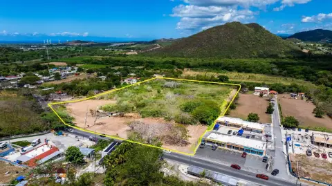
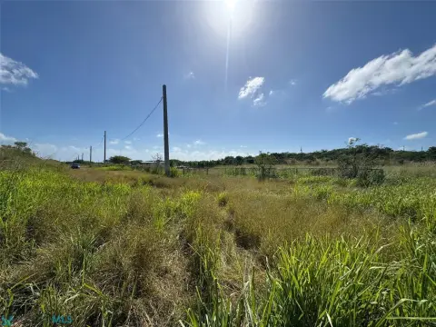
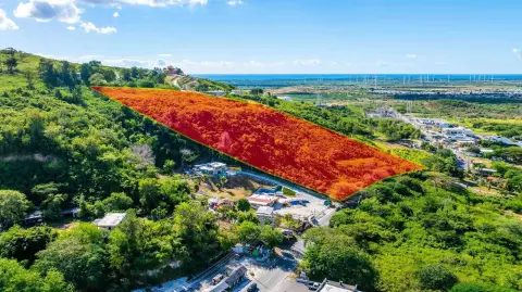
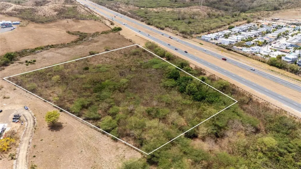
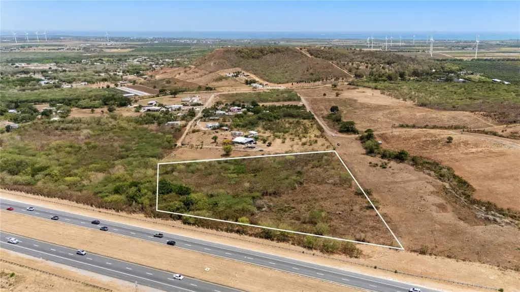
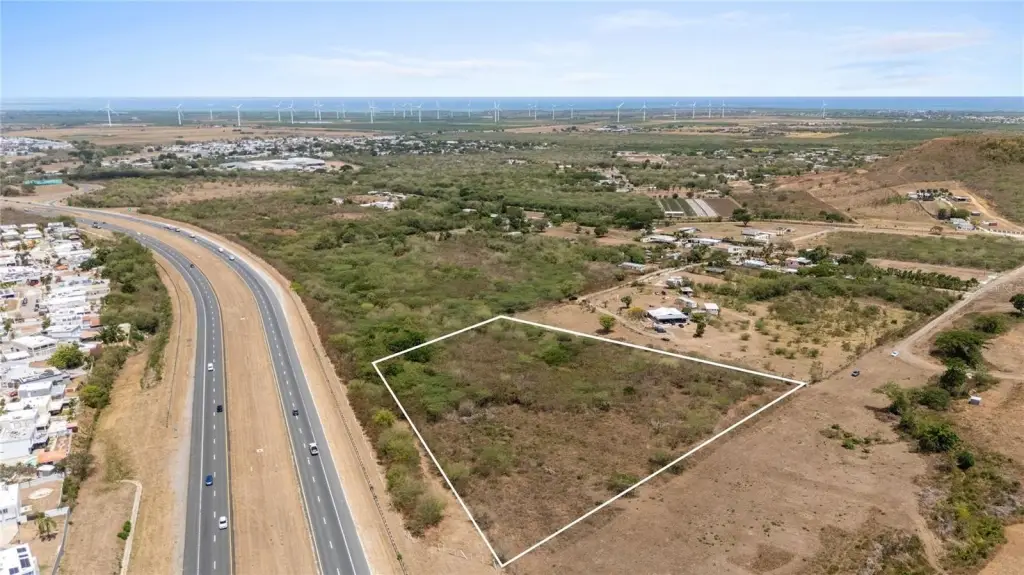
- 5.22 cuerdas of land in Descalabrado Ward, Santa Isabel, PR
- Zoned SRC (Common Rustic Soil) for traditional/sustainable agriculture, livestock development, or ecological conservation
- Entire terrain located in Flood Zone X (outside high‑risk flood zones per environmental records)
- Coordinates: 18.01686446, -66.40184233
- Approx. value of $14.58 per square meter
- CRIM: $163.86 annually
Overview
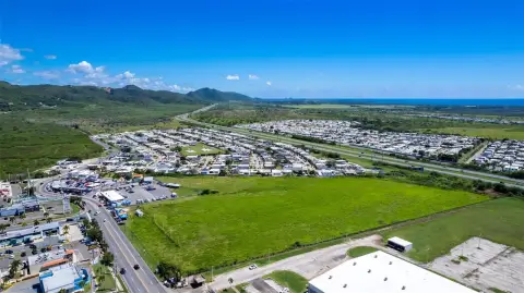
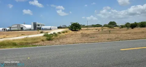
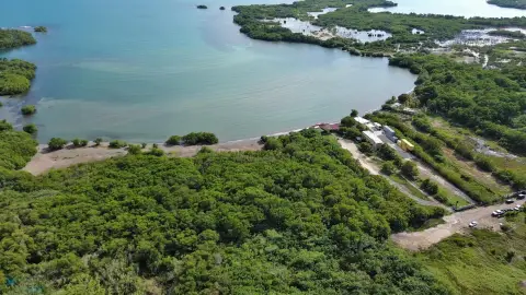
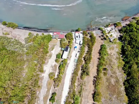
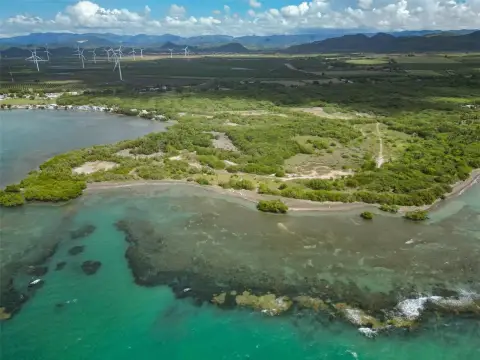
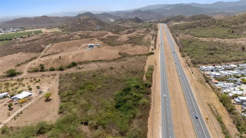
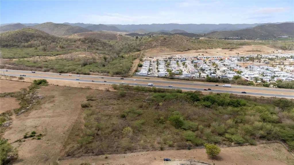
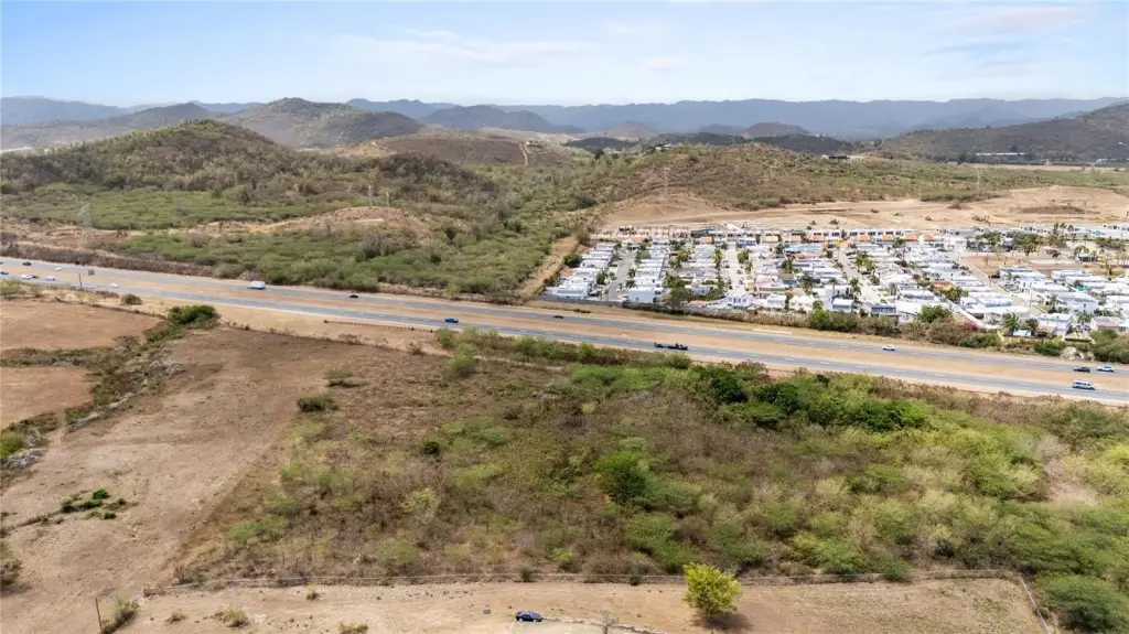
The parcel is located in Bo. Descalabrado, Santa Isabel (00757). Environmental records indicate the entire terrain sits within Flood Zone X, placing the area outside of high-risk flood zones. The offering totals about 5.22 cuerdas, and the listing includes CRIM of $163.86 annually.
This land configuration is a practical fit for operators seeking an agriculture-oriented site under SRC zoning, including traditional or sustainable agricultural production, livestock development, or ecological conservation efforts. Because the full site is identified as Flood Zone X, it may be more suitable for long-term planning tied to rural development goals aligned with the southern coast area.
Current Use by Public Records
Map
- City
- Santa Isabel
- County
- Toa Alta
- State
- Longitude
- -66.40184233
- Latitude
- 18.01686446