S 363 Road, El Dorado Springs, MO 64744
- Added:
- Jun 18, 2026
- Days on Market:
- 4
- Last Refresh:
- Jun 21 at 2:06 pm
Property Features for S 363 Road
General Information
- Property type
- Land
- Property subtype
- Other
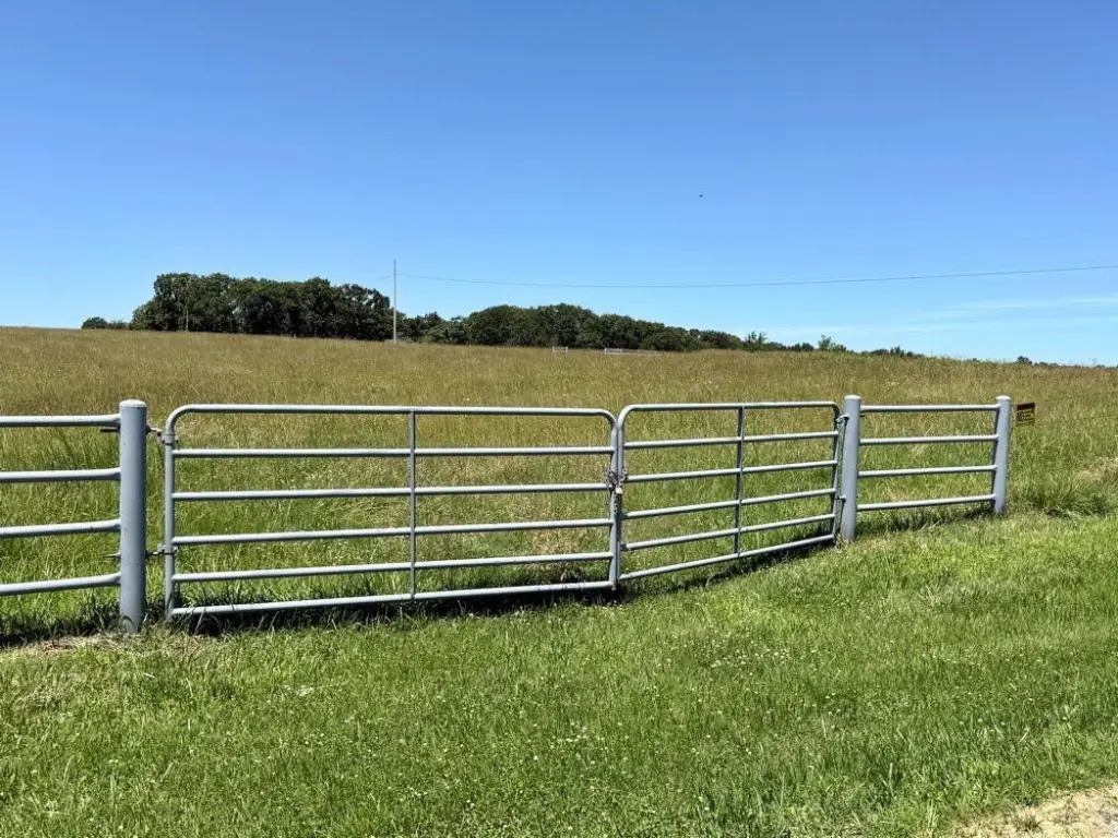
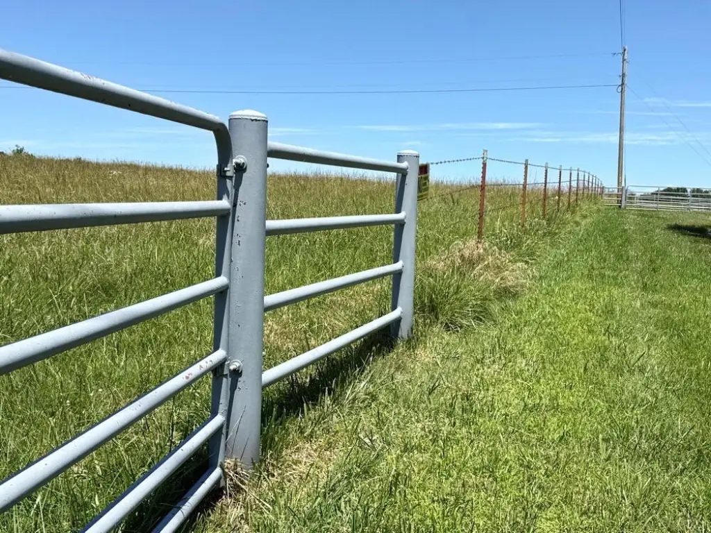
- Fencing
- Barbed Wire, Perimeter
- Standard status
- Active
- APN
- 999999
- Lot size
- 43.00 Acres
Taxes and HOA fees
- Tax Year
- 2026
- Tax Annual Amount
- 100
Utilities
- Utilities
- Electricity Available

Listing agent Ryan Hubbard (417) 296-4572
Listing office United Country American Heartland Real Estate 504 E Hwy 54, MO (417) 876-2699
Listing date Jun 18, 2026
Copyright © 2026 Southern Missouri Regional MLS, LLC (SOMO). All rights reserved. All information provided by the listing agent/broker is deemed reliable but is not guaranteed and should be independently verified.
HighLights
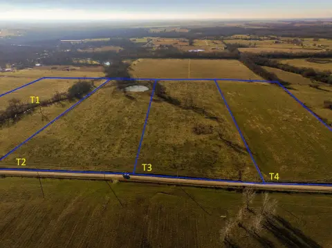
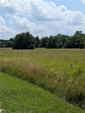
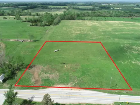
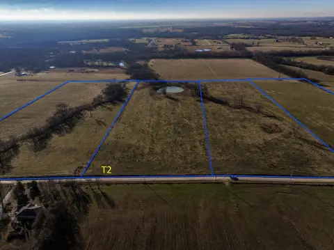
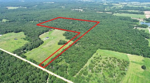
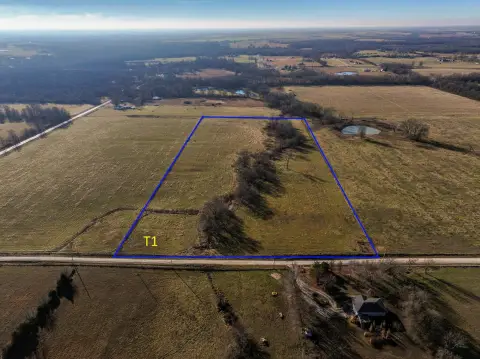
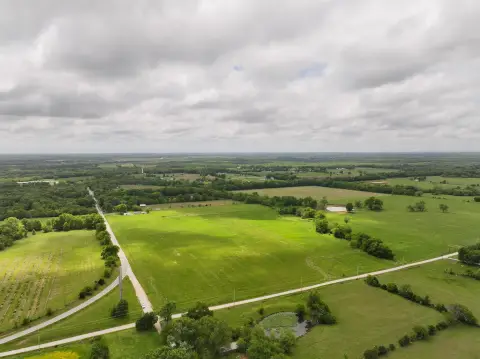
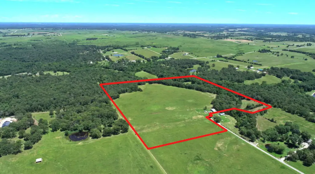
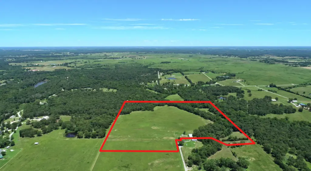
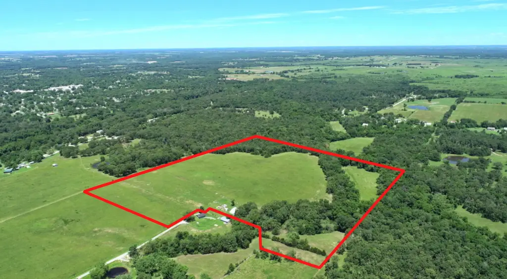
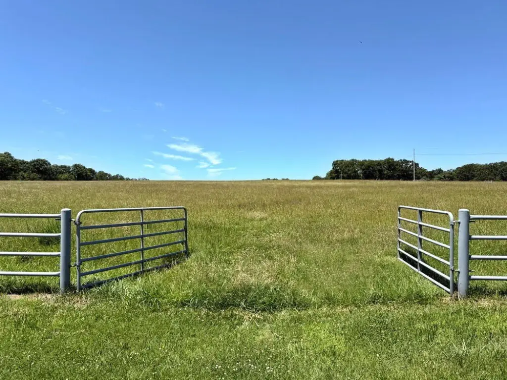
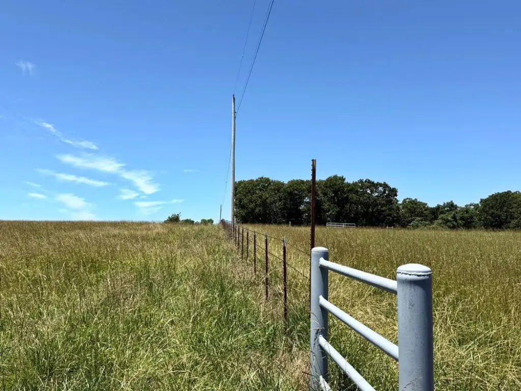
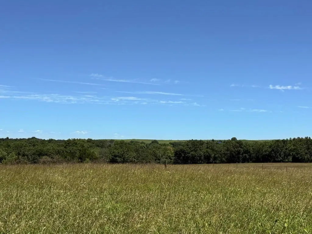
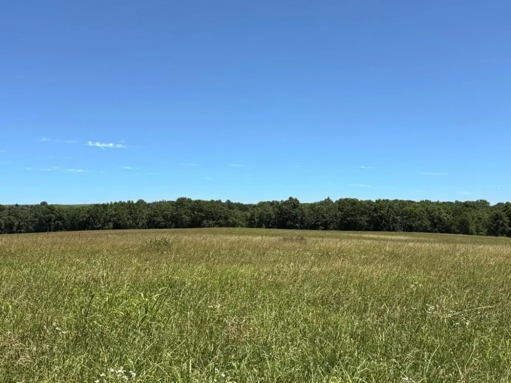
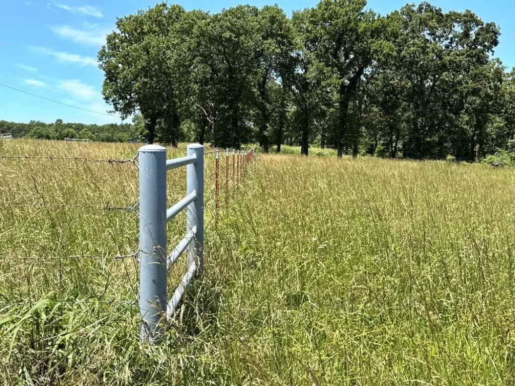
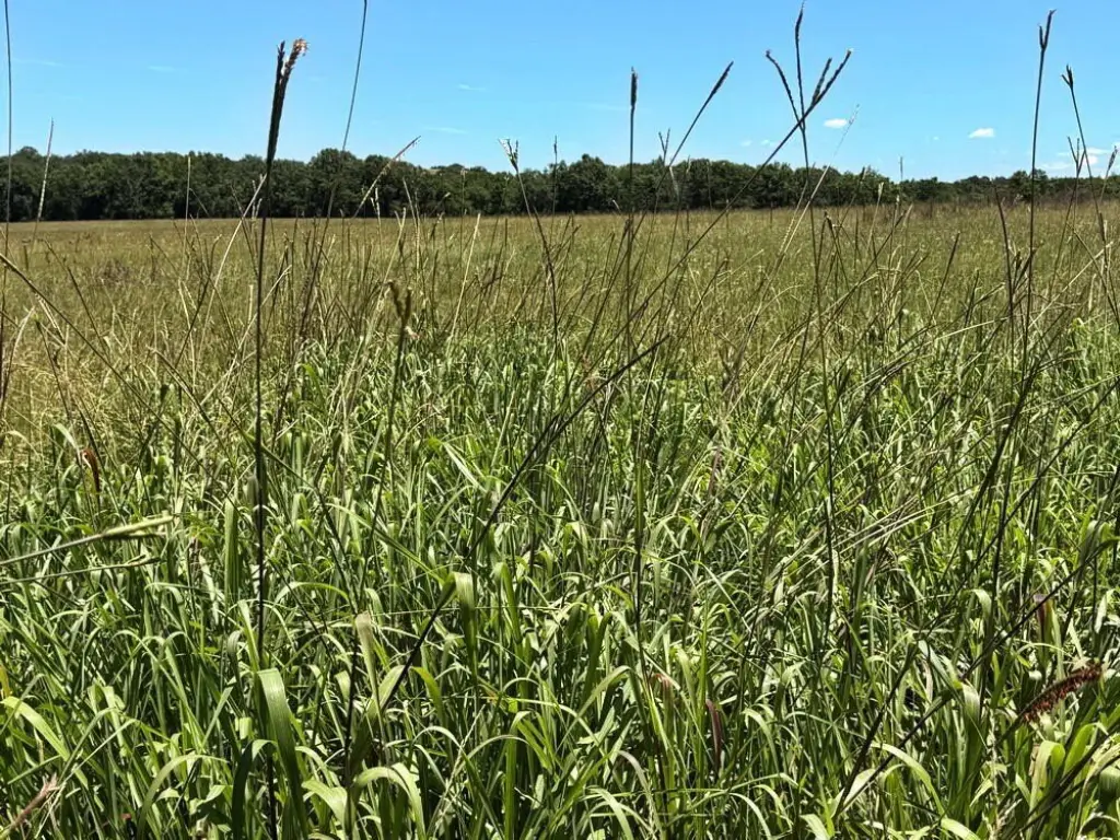
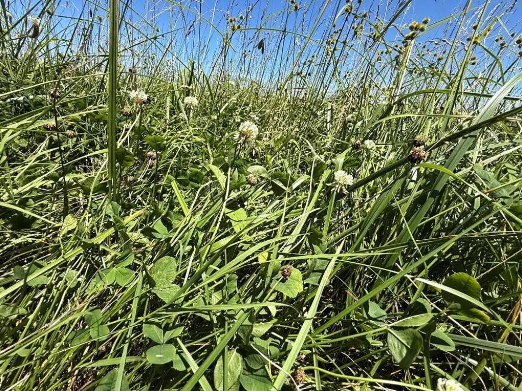
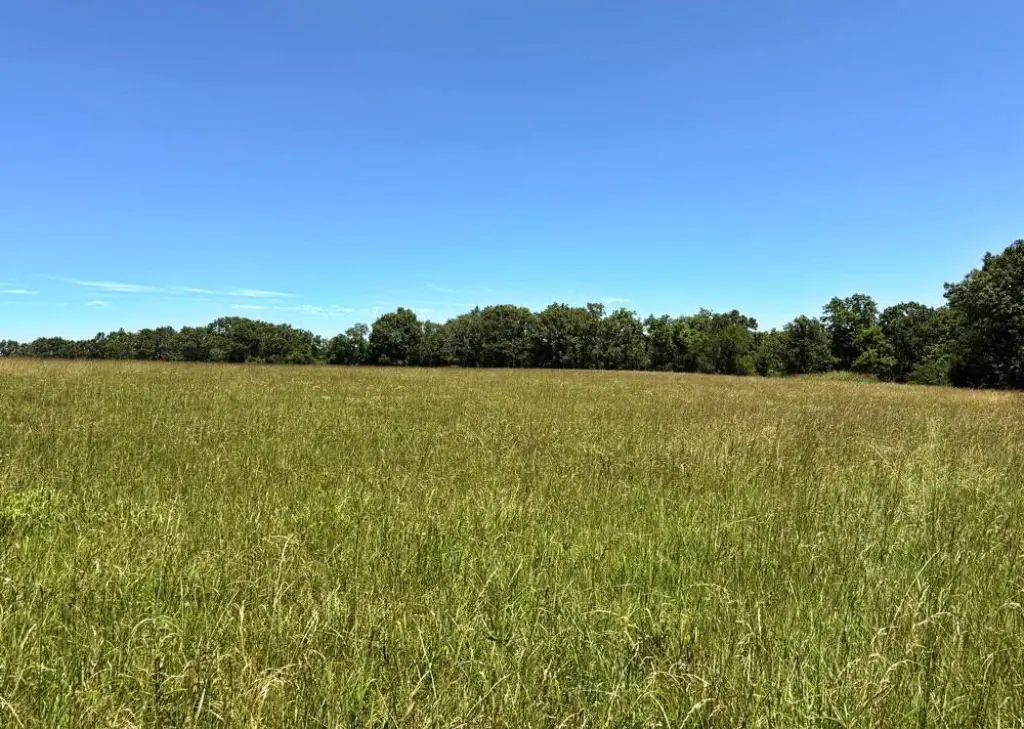
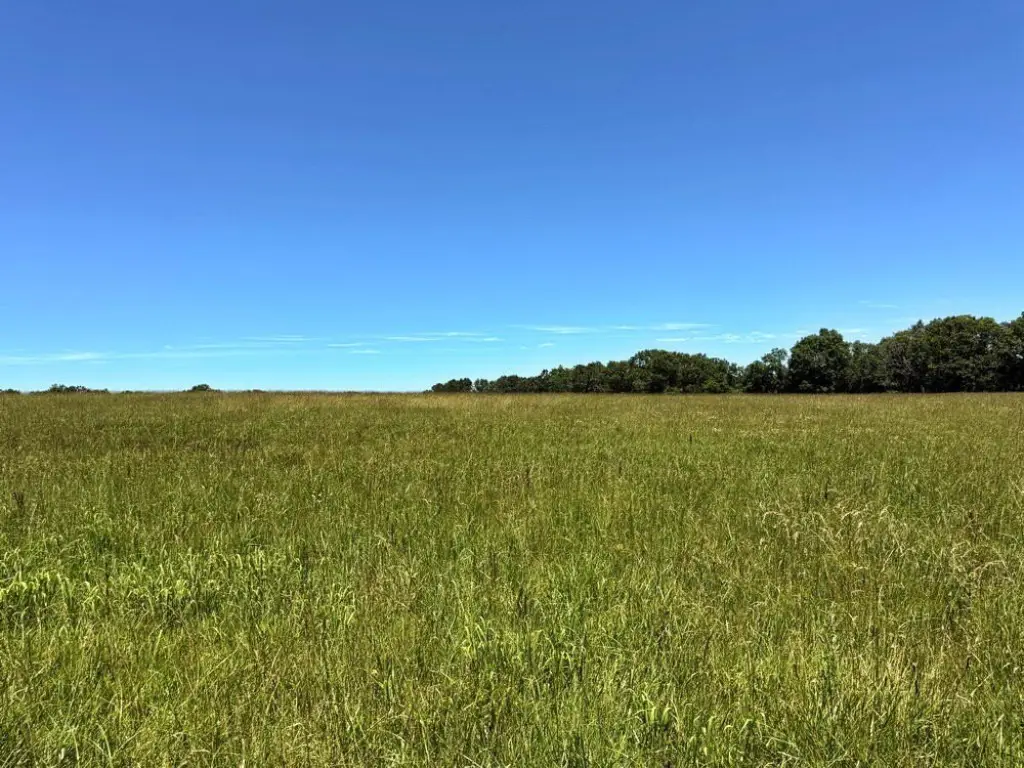
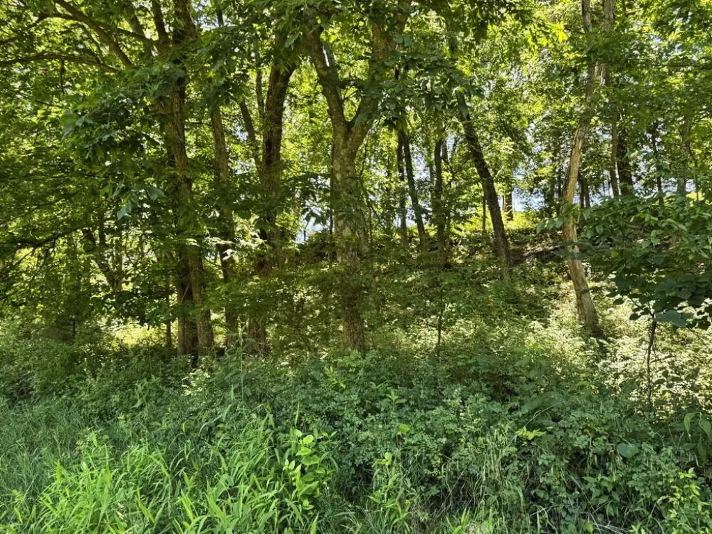
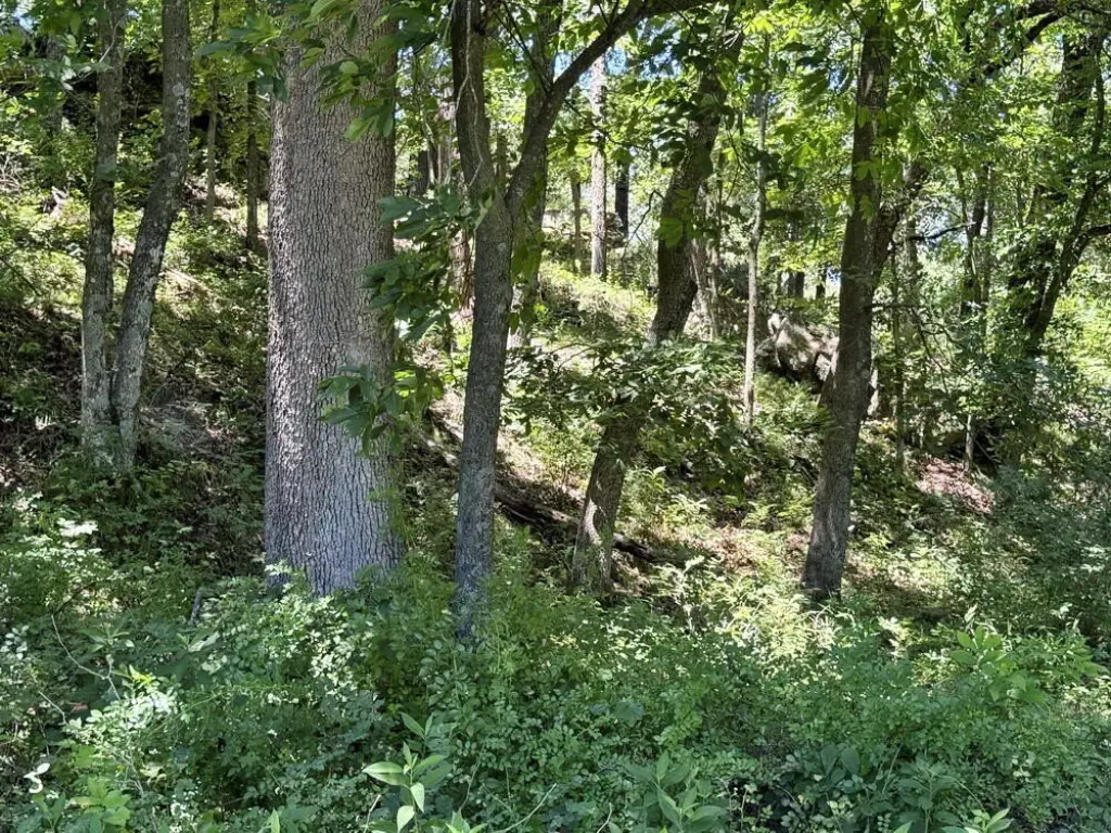
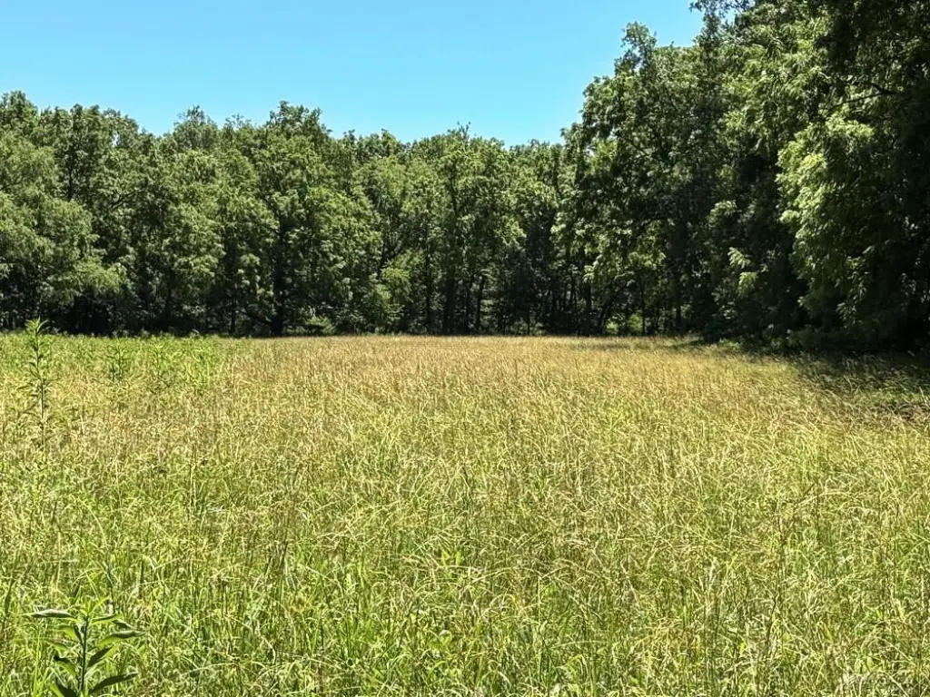
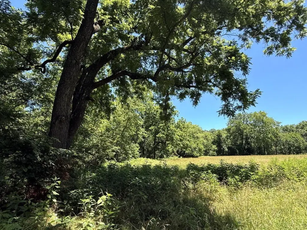
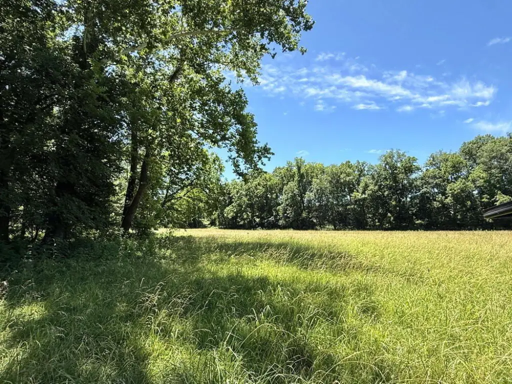
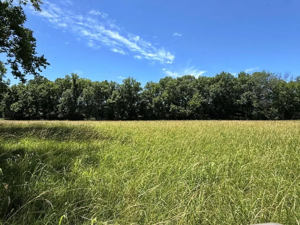
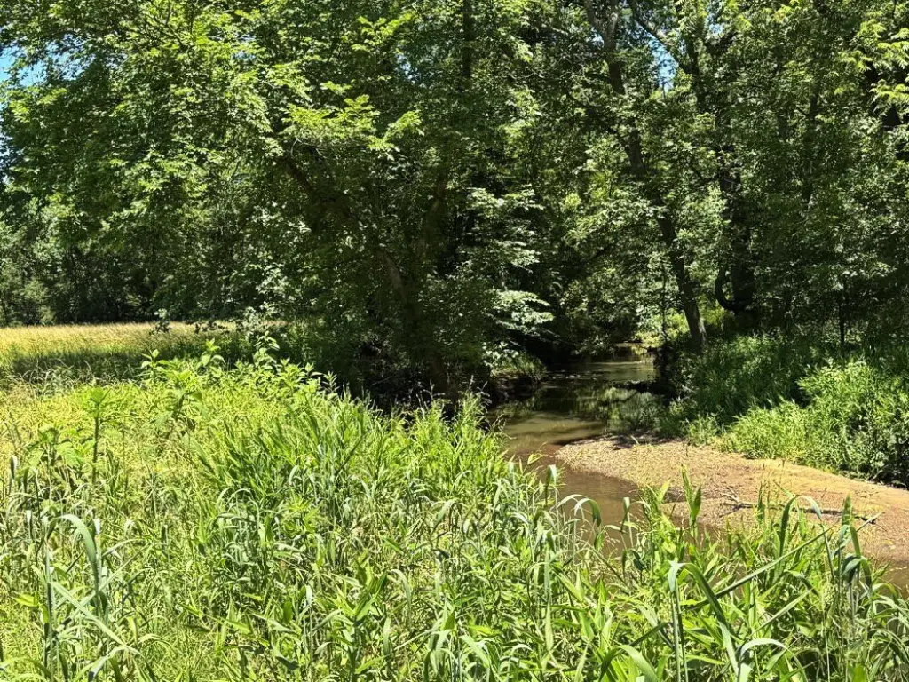
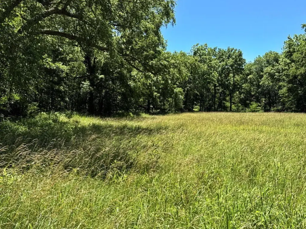
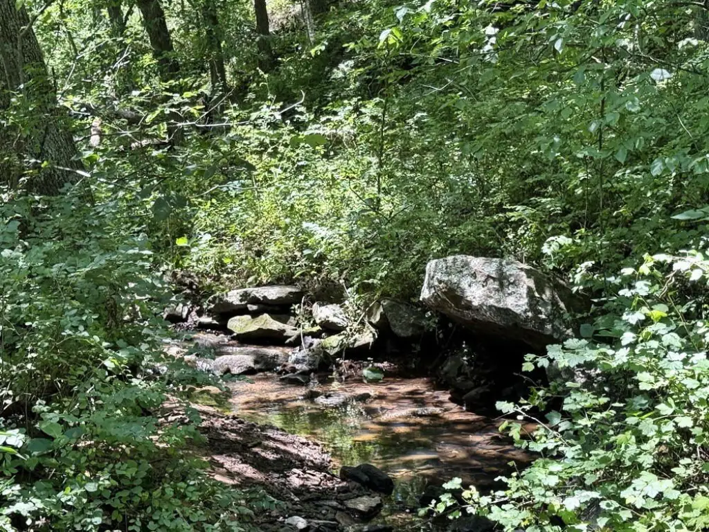
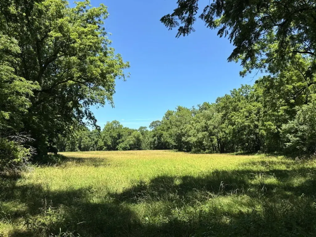
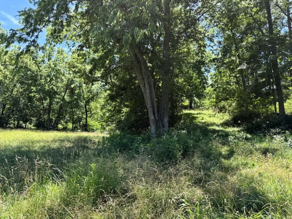
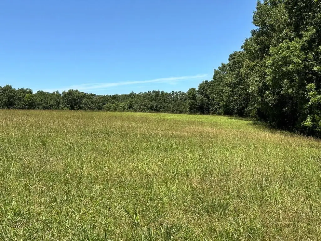
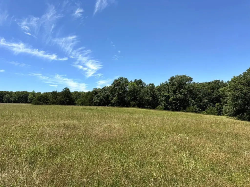
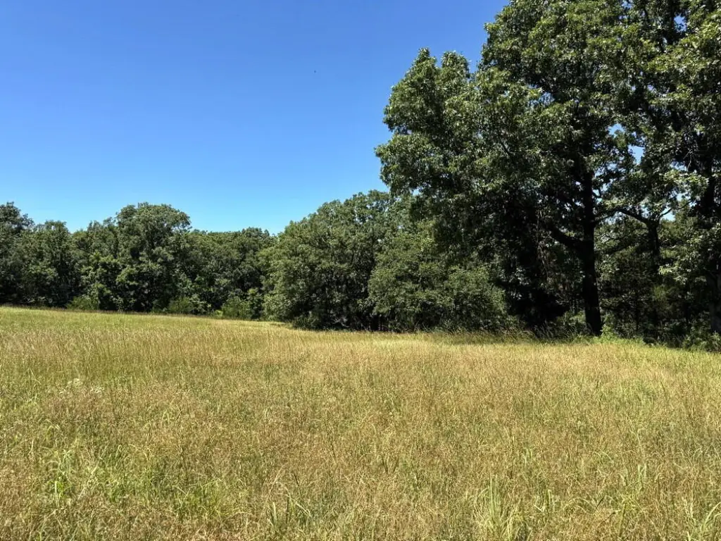
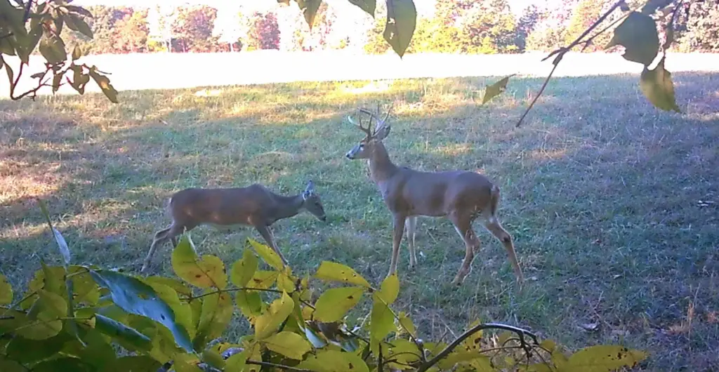
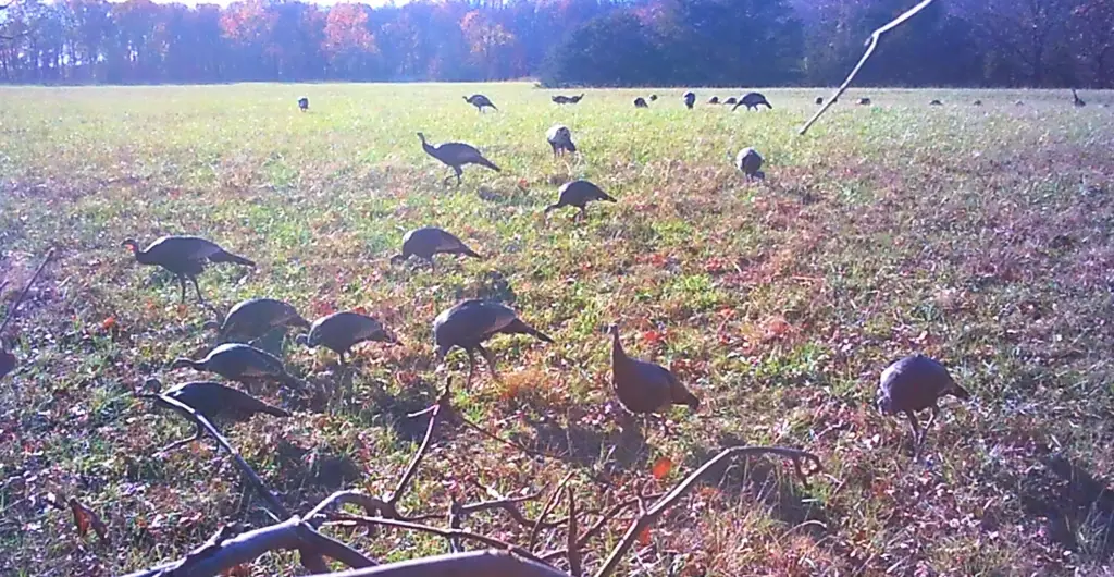
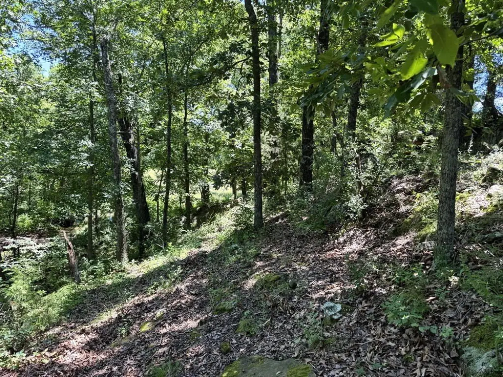
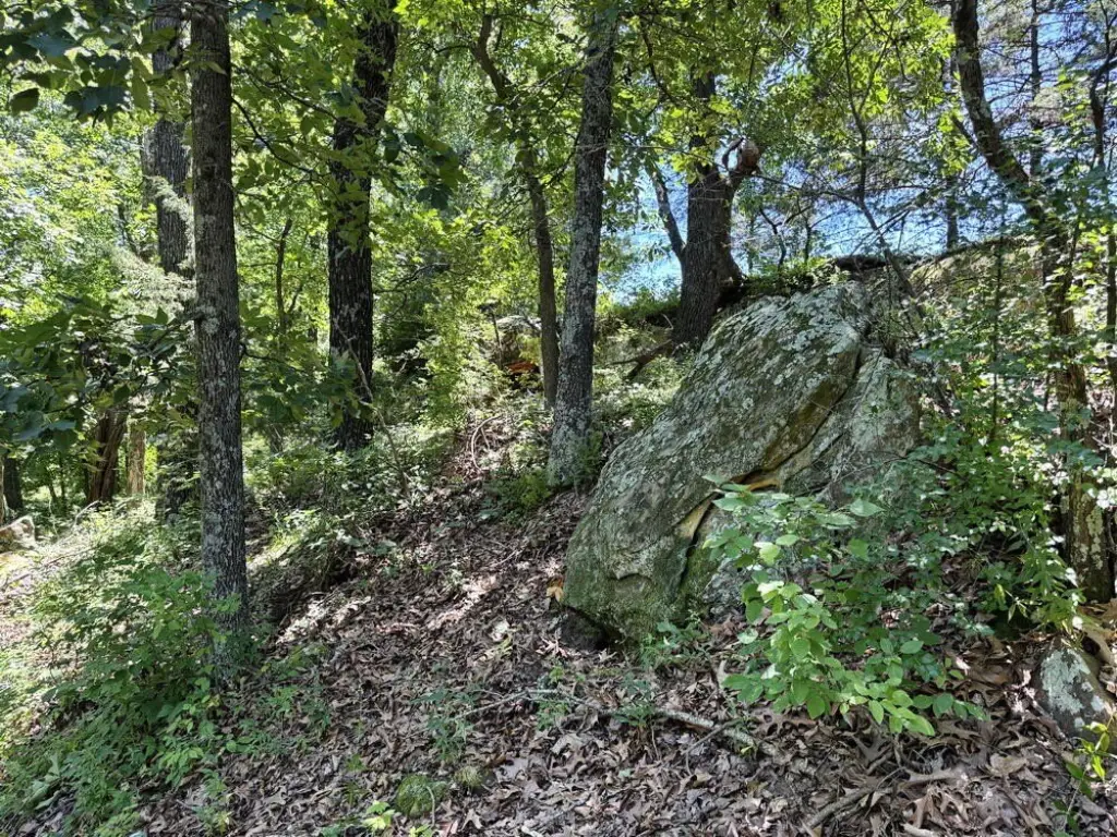
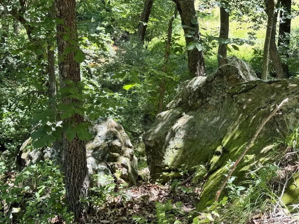
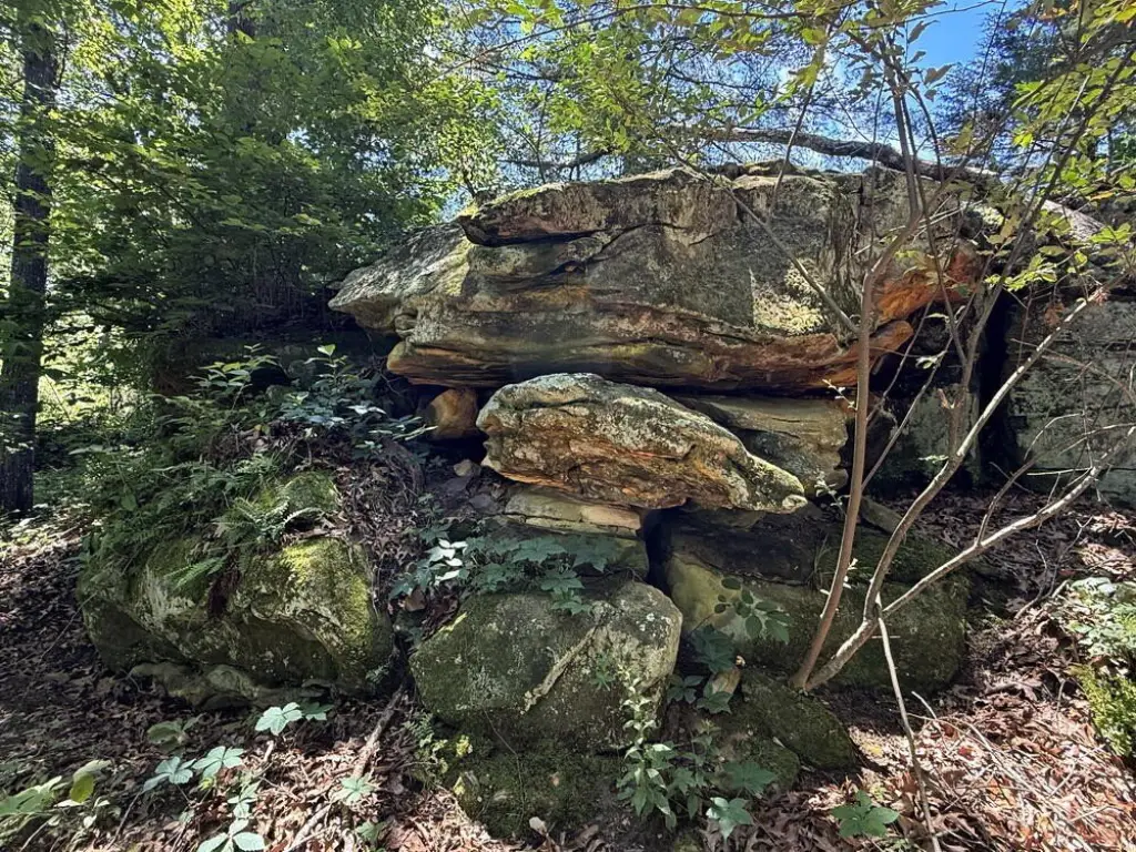
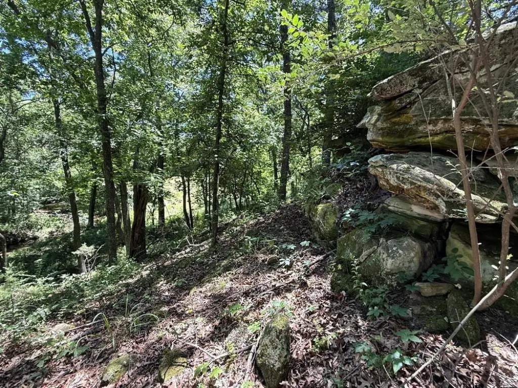
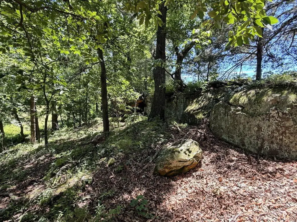
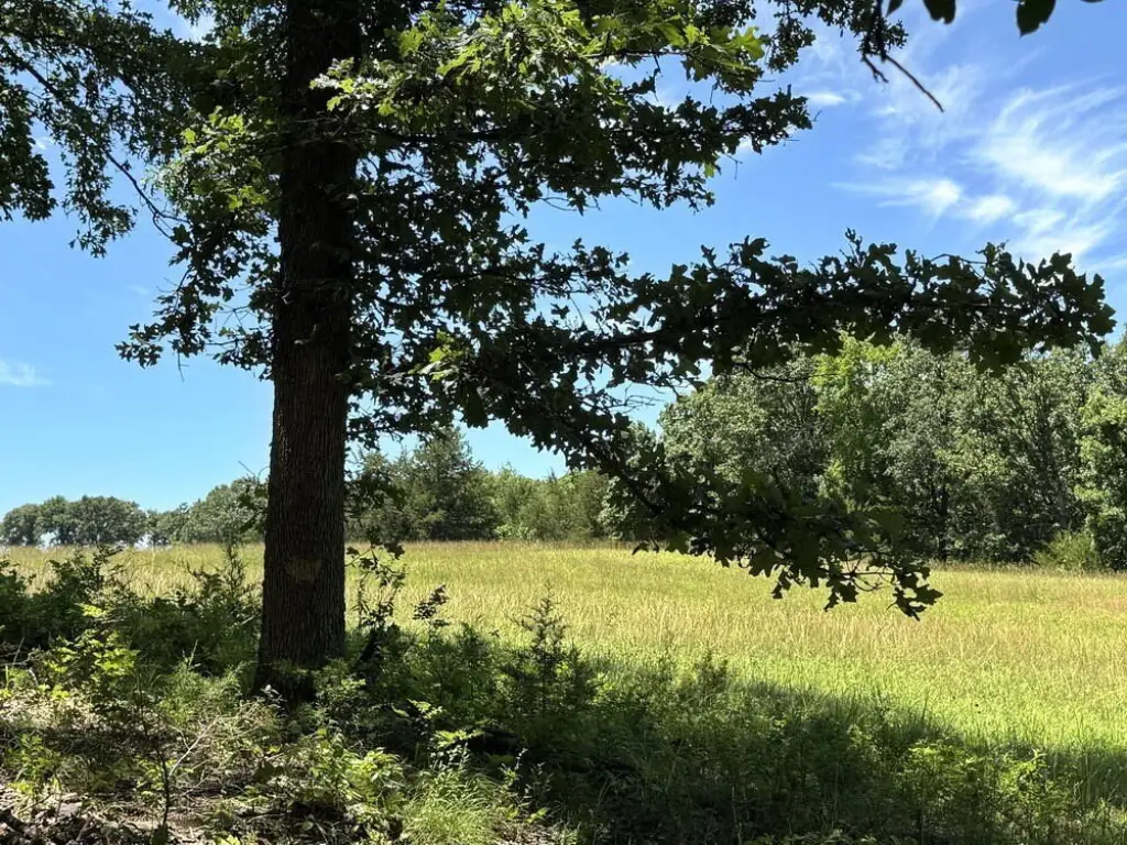
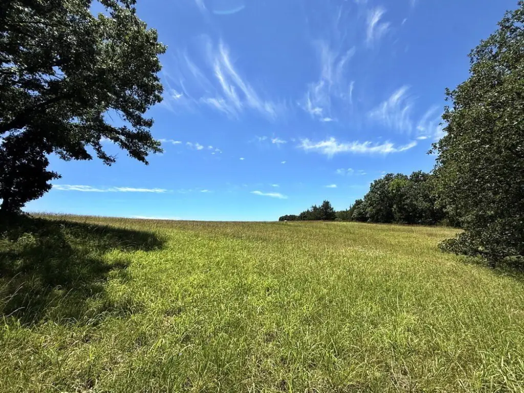
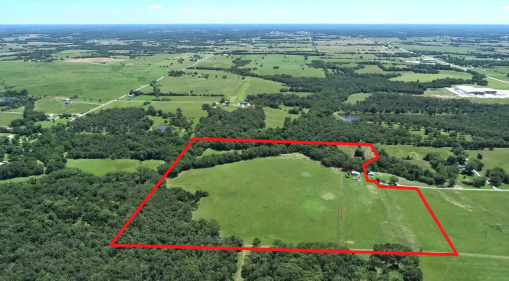
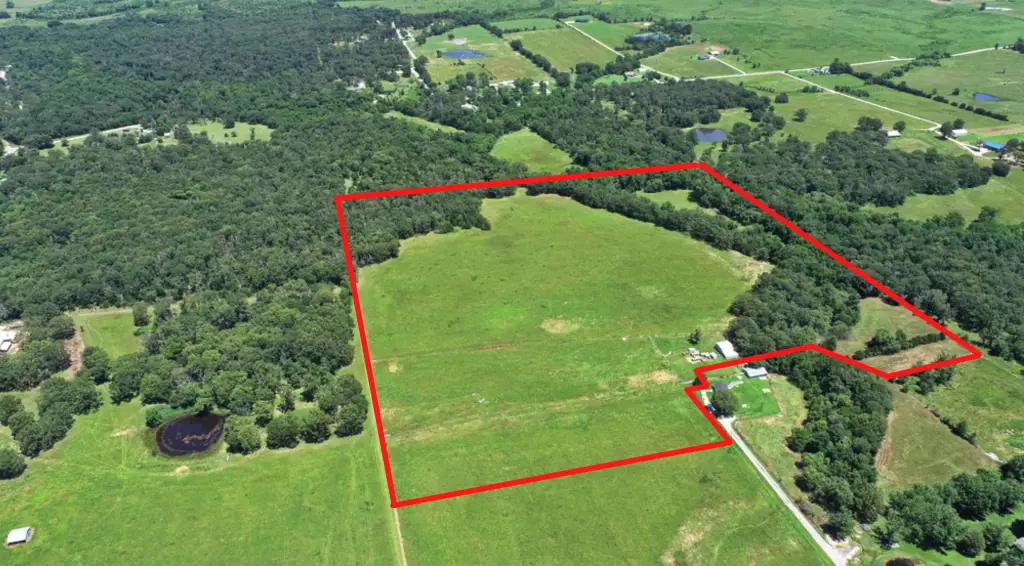
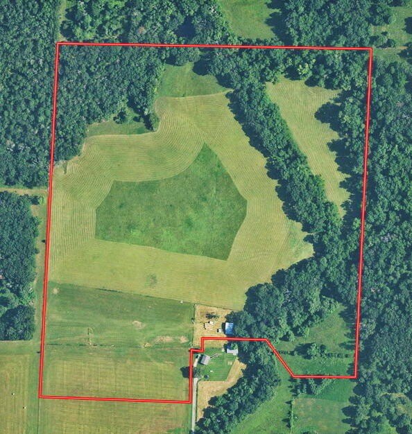
- 43‑acre surveyed vacant land with full‑circle hunting potential, including open fields with clover and oak & walnut woodlands
- Southeast corner offers build‑site views with an estimated 1–2 mile view north to Wah‑Kon‑Tah Prairie
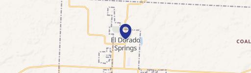
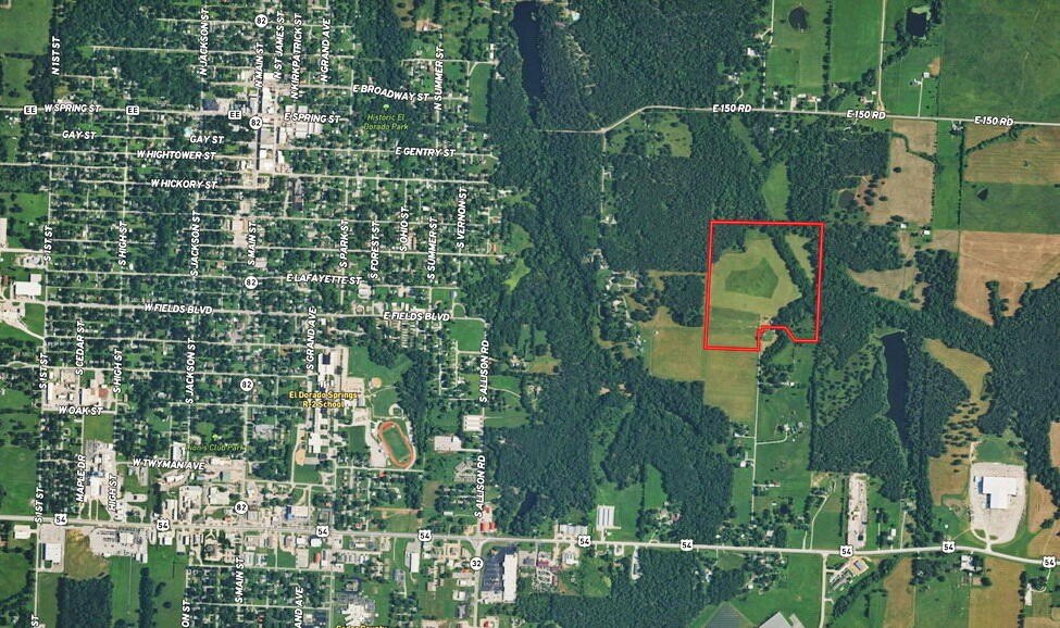
- Property is about 1 mile northeast of El Dorado Springs and accessed via a double gate off the county road on a dead‑end paved road
- Utilities at/along the road include fiber internet, electricity, and public water
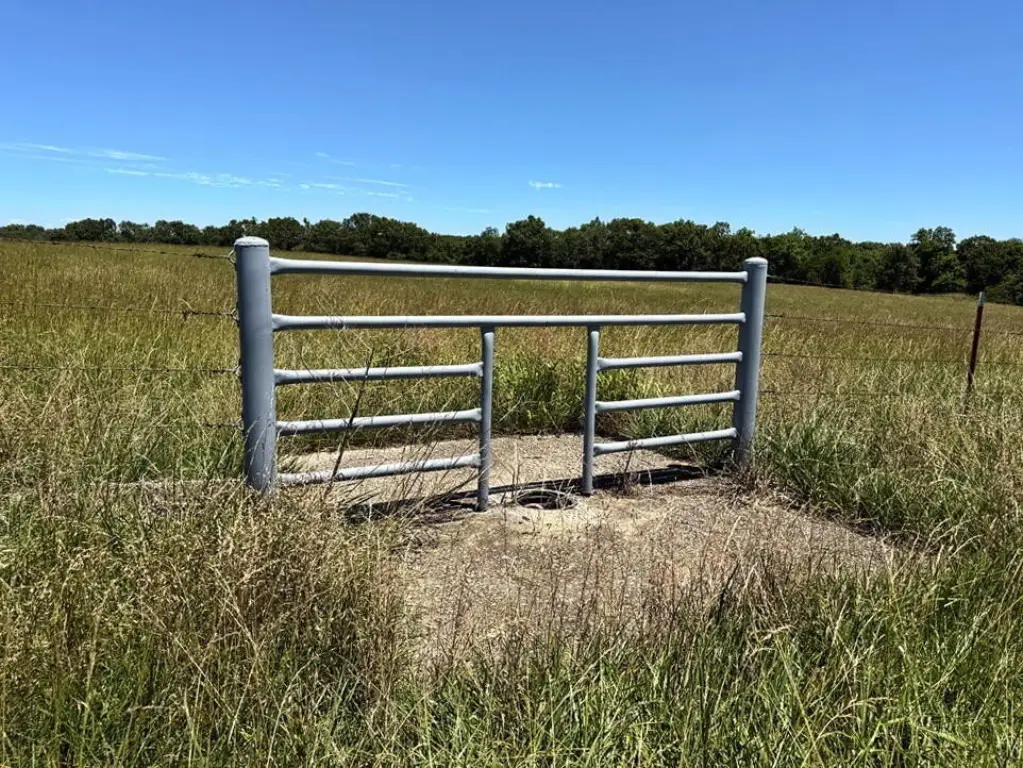
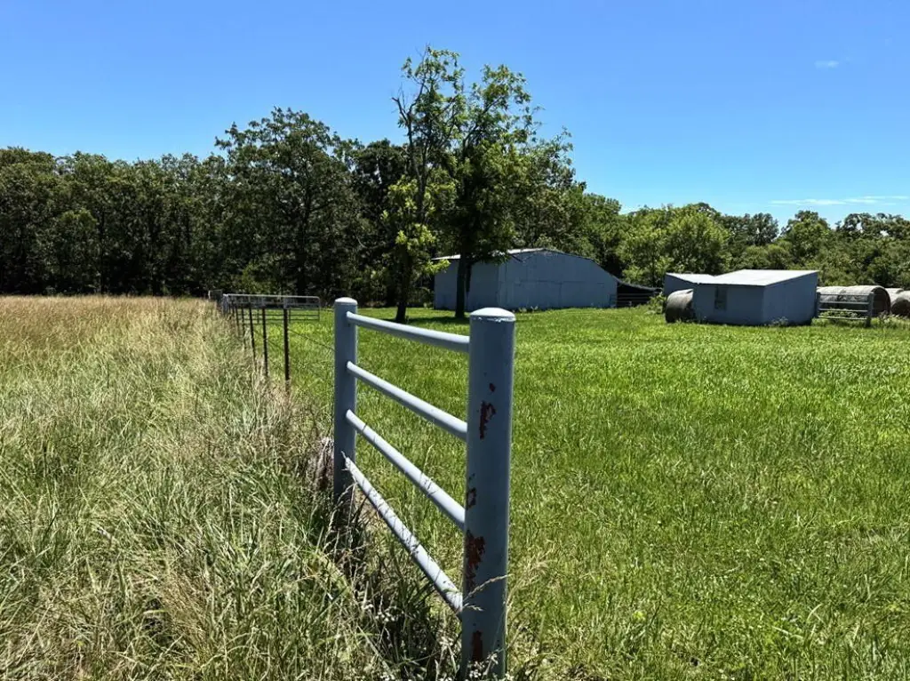
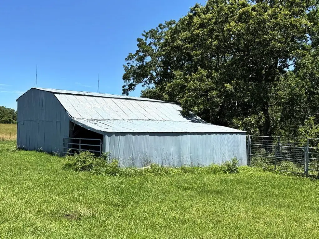
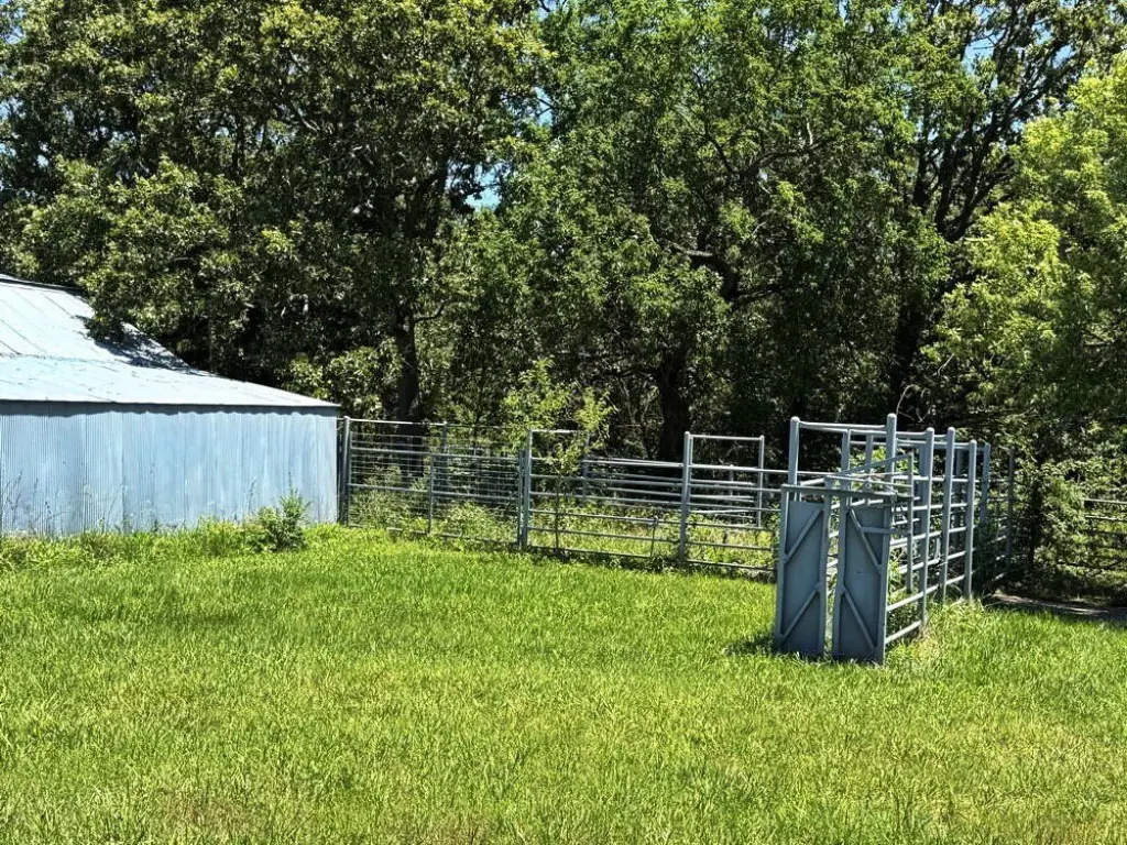
- Perimeter fencing includes barbed wire, with cattle‑tight fencing plus pipe gates and paddocks
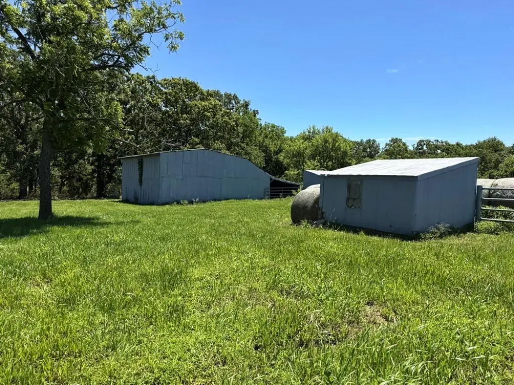
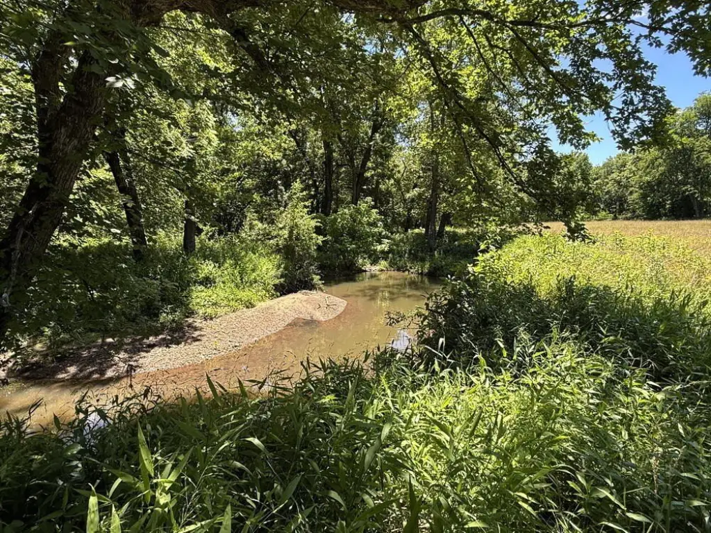
- Includes a bottom field suited for a food plot surrounded by a bluff and stream, plus multiple outbuildings
Overview
Access is described via a double gate off a county road, on a dead-end paved road that supports a secluded feel while remaining close to local amenities. Utilities are listed as available along the road, including fiber internet, electricity, and public water. The southeast corner is also described as providing views north toward Wah-Kon-Tah Prairie, a 3,500-acre prairie preserve in Cedar and St Clair County, Missouri.
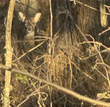
For buyers looking for a property that combines a developable area with outdoor use, this tract offers a mix of open ground and wooded cover suited to hunting-style land management. The listing also notes that the property has experienced very little hunting pressure, and that deer and turkey have been observed during visits. With the existing fencing and outbuildings, it may also fit buyers who want to pursue grazing or land-operations alongside a future home or build site.
Current Use by Public Records
Location Insight
- Map
- Local Demand
- City
- El Dorado Springs
- County
- Cedar
- State
- Missouri
- Longitude
- -94.001012
- Latitude
- 37.870836