Roberts Drive, Munith, MI 49259

- Added:
- Jun 9, 2026
- Days on Market:
- 4
- Last Refresh:
- Jun 12 at 4:06 am
Property Features for Roberts Drive
General Information
- Property type
- Land
- Property subtype
- Other
- Zoning
- Residential
- Standard status
- Active
- APN
- 000041325200200
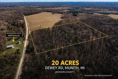
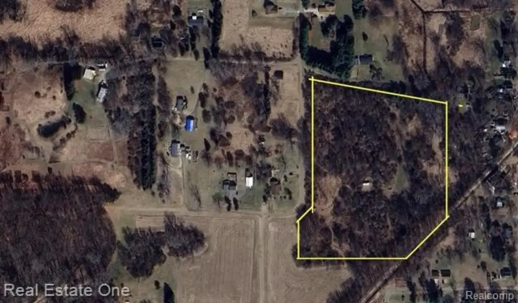
- Lot size
- 12.01 Acres
Taxes and HOA fees
- Tax Description
- BEG AT NE COR OF SEC 13 TH W ALG N SEC LN 1361.96 FT TH S 0(DEGREES) 12'W 1081.44 FT TO A POB OF THIS DESCN TH S 69(DEGREES) 19'E 204.35 FT TH S 89(DEGREES) E 477.87 FT TH S 0(DEGREES) 12'W 550 FT TH S 44(DEGREES) 12'W 386.75 FT TH W 401.03 FT TH N 0 (DEGREES) 12'W 907.48 FT TO BEG. SEC 13 T1S R1E 12.01A
- Tax Annual Amount
- 1457
Utilities
- Sewer type
- Unknown

Listing agent Ali Fayz License #6501393929 (313) 903-5300
Listing office Real Estate One-Dbn Hts 25000 Ford Road, MI (313) 561-3860
Listing date Jun 9, 2026
Copyright © 2026 Realcomp Limited II. All rights reserved. All information provided by the listing agent/broker is deemed reliable but is not guaranteed and should be independently verified.
HighLights
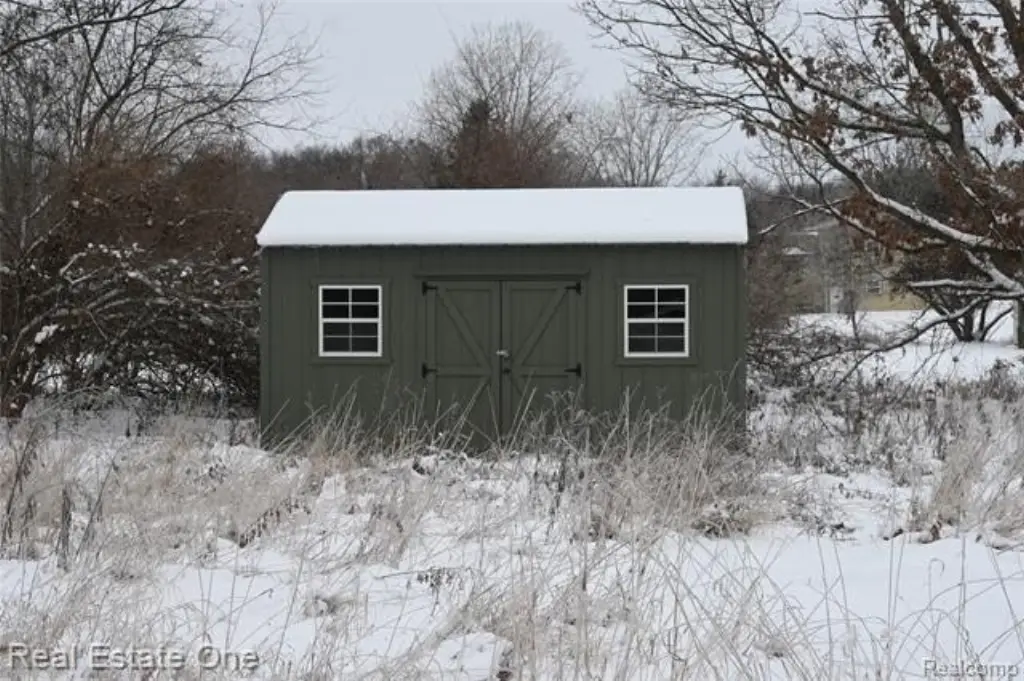
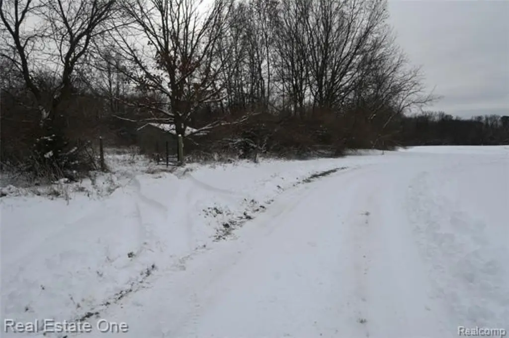
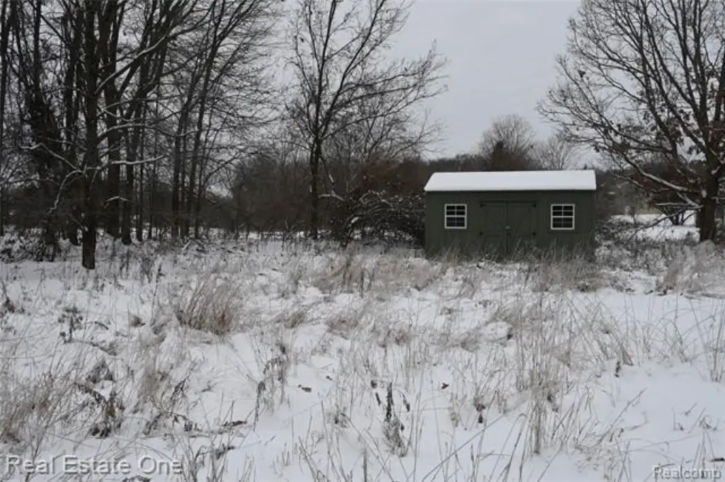
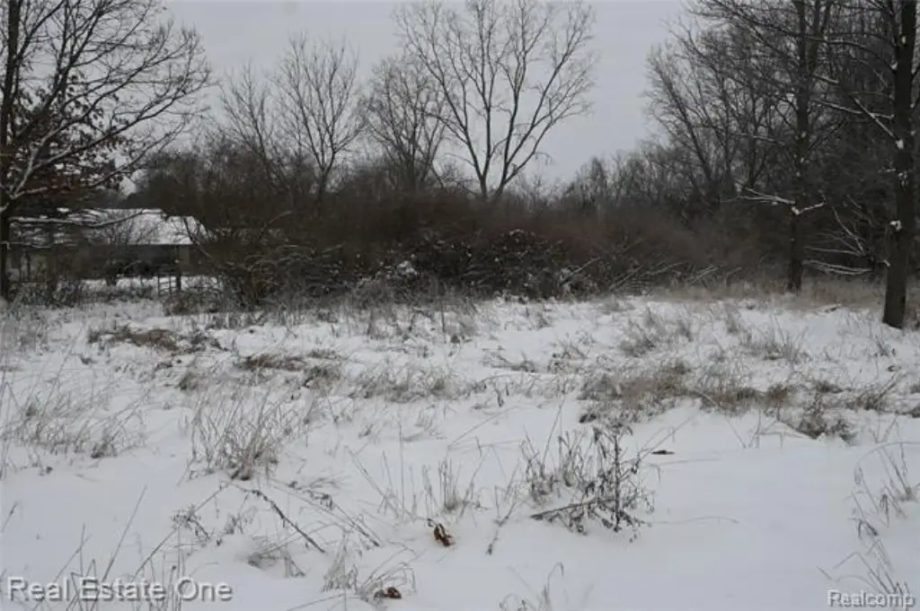
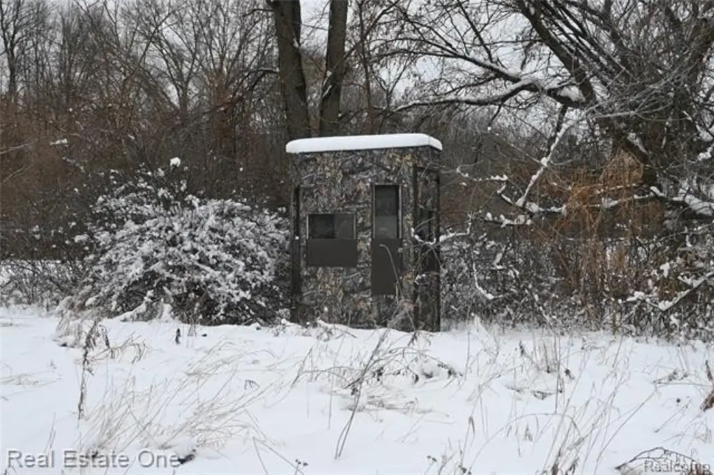
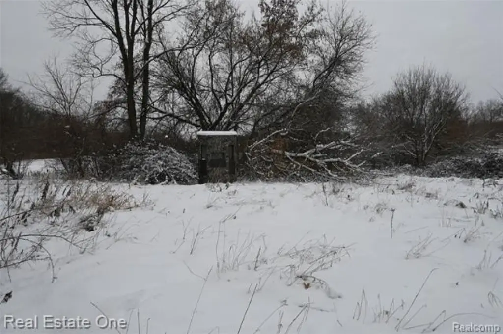
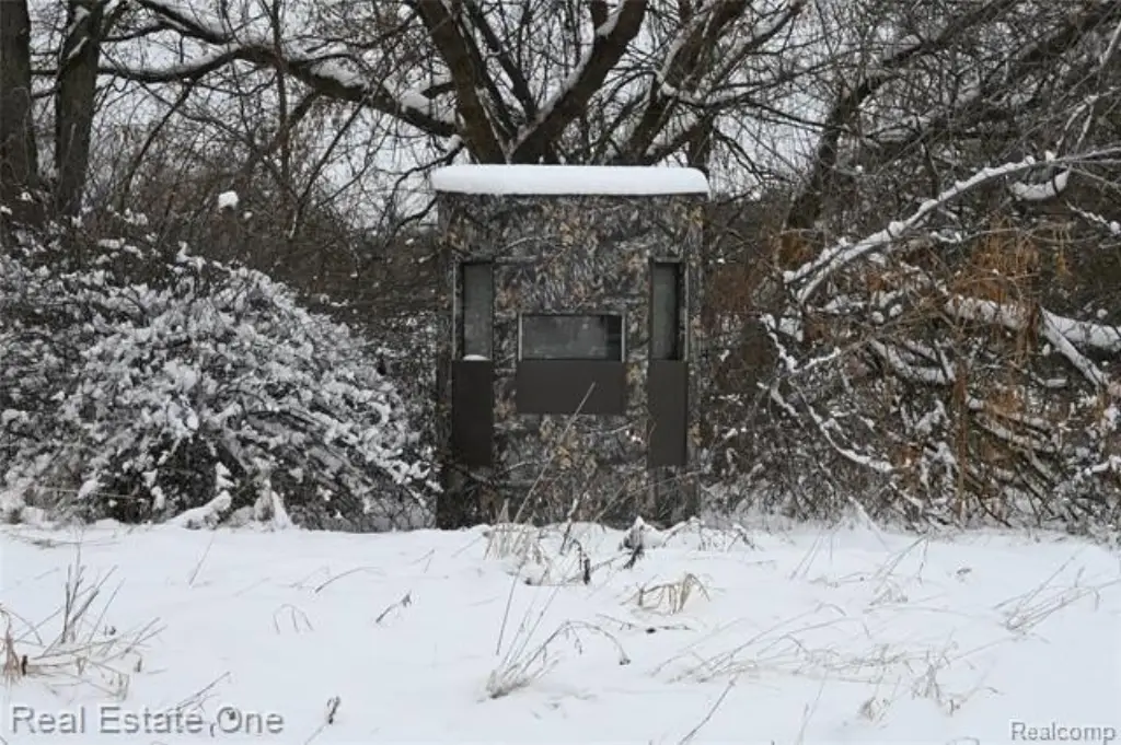
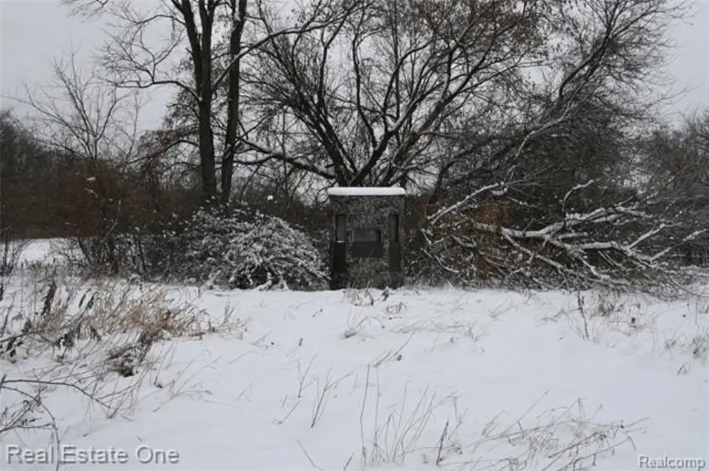
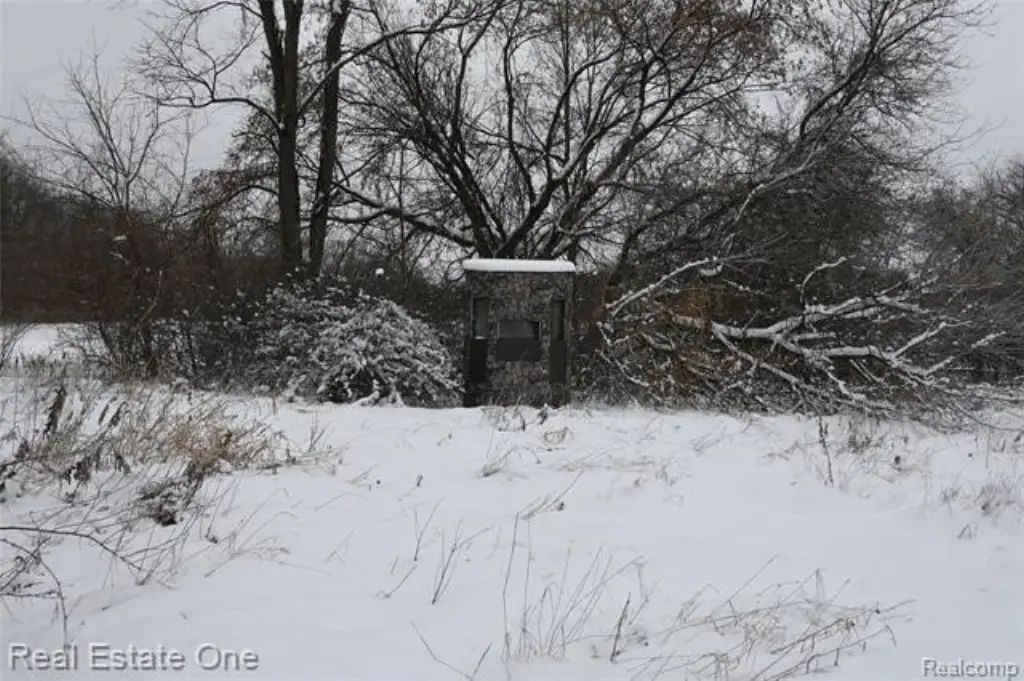
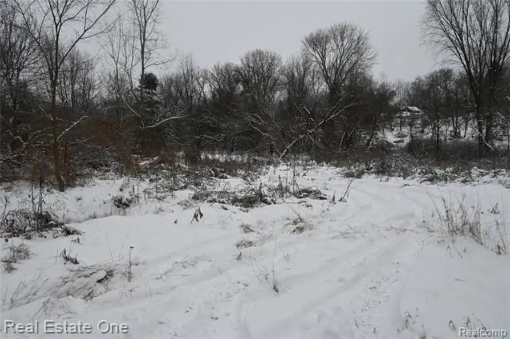
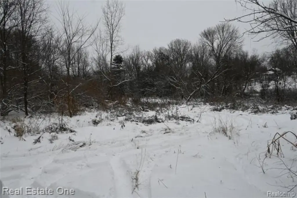
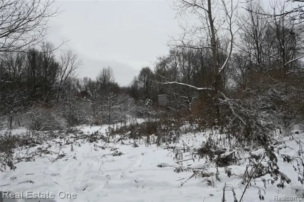
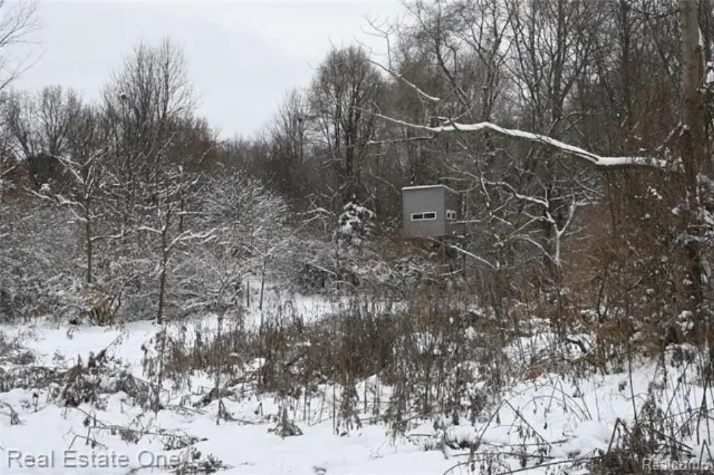
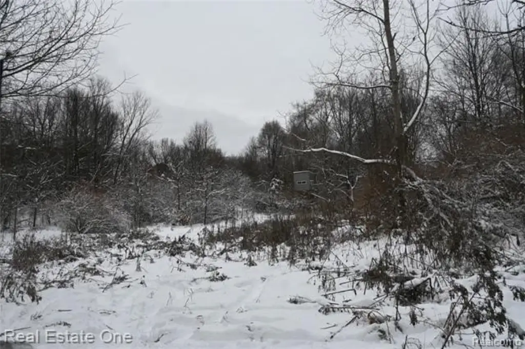
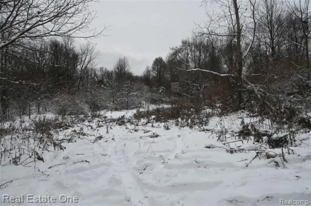
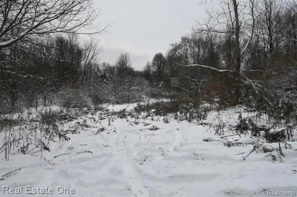
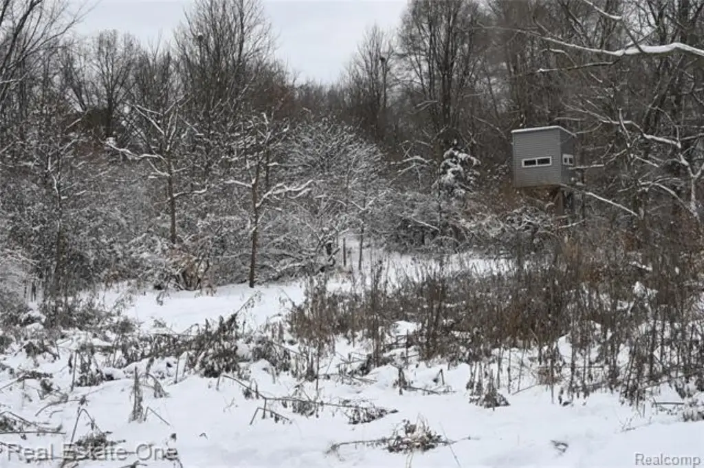
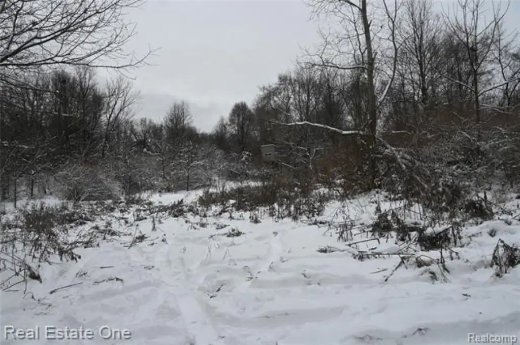
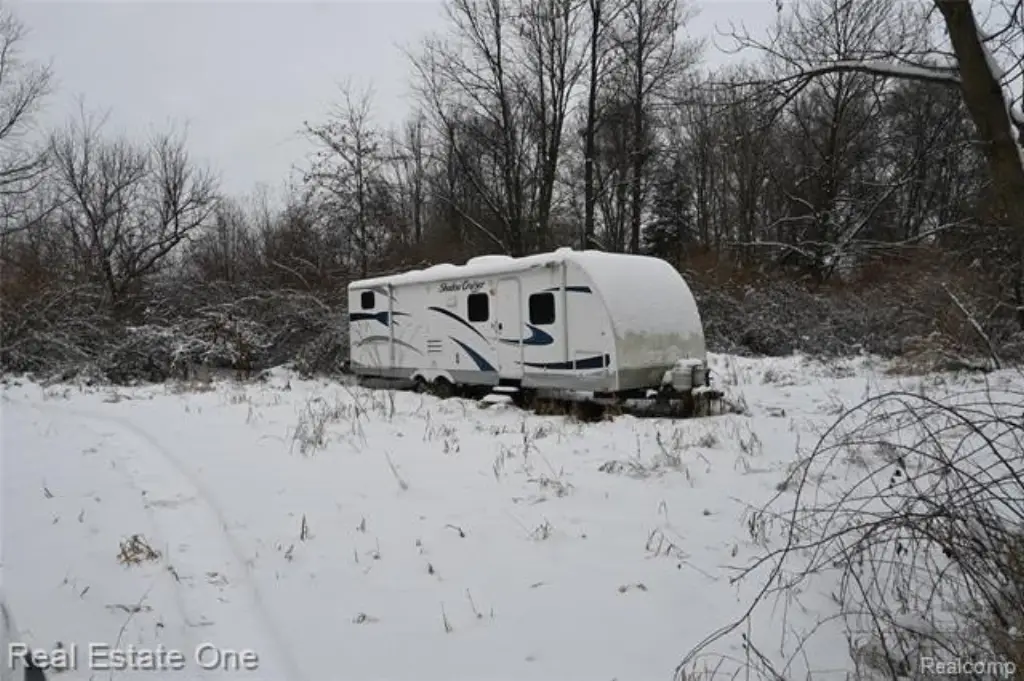
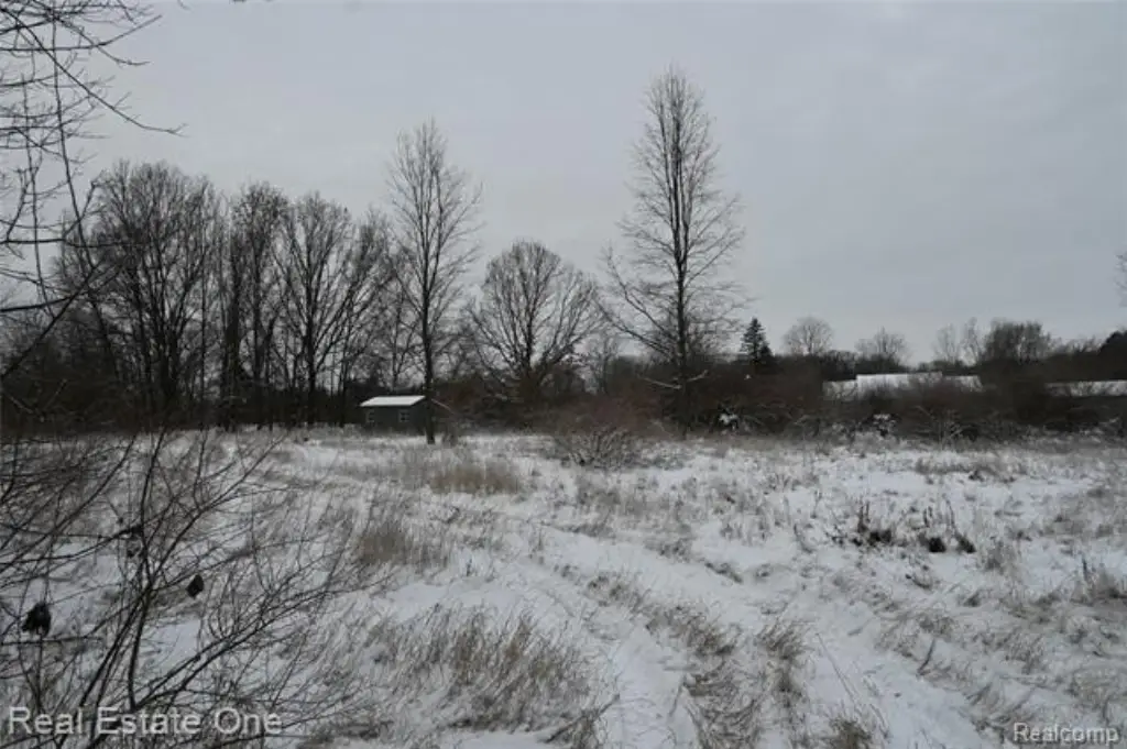
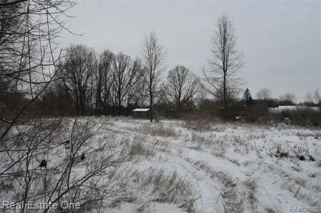
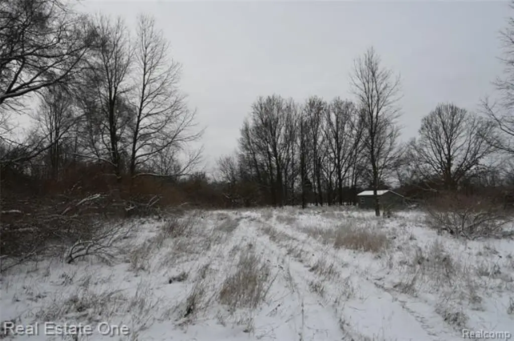
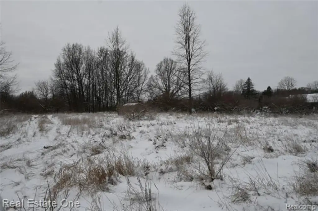
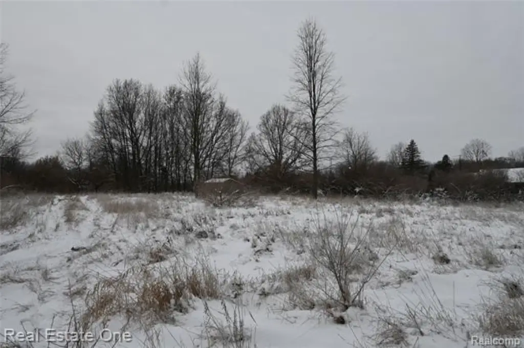
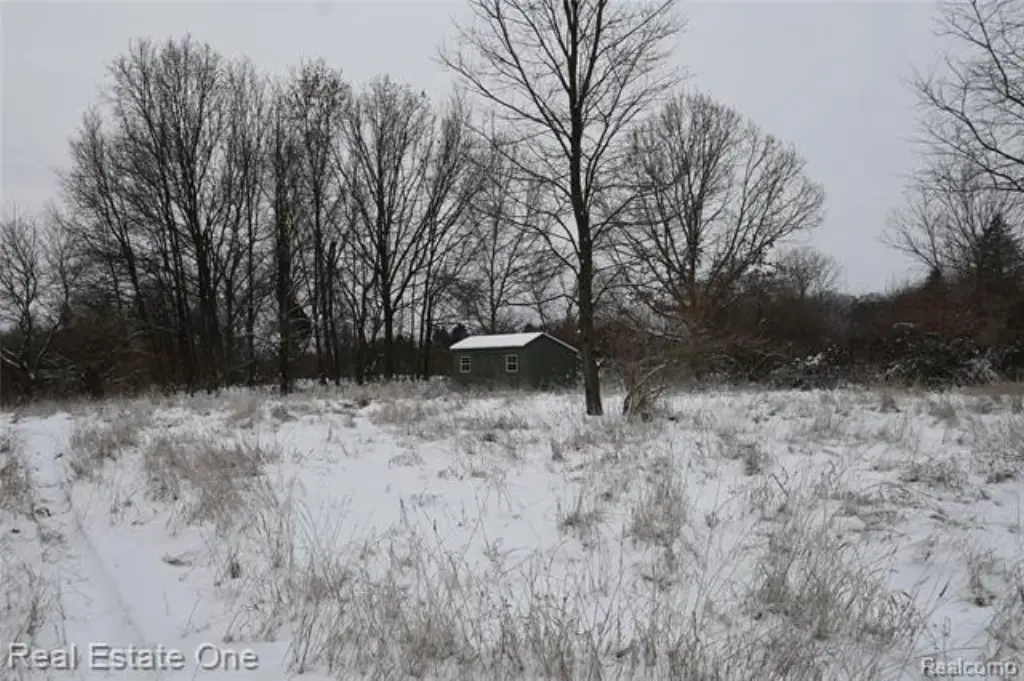
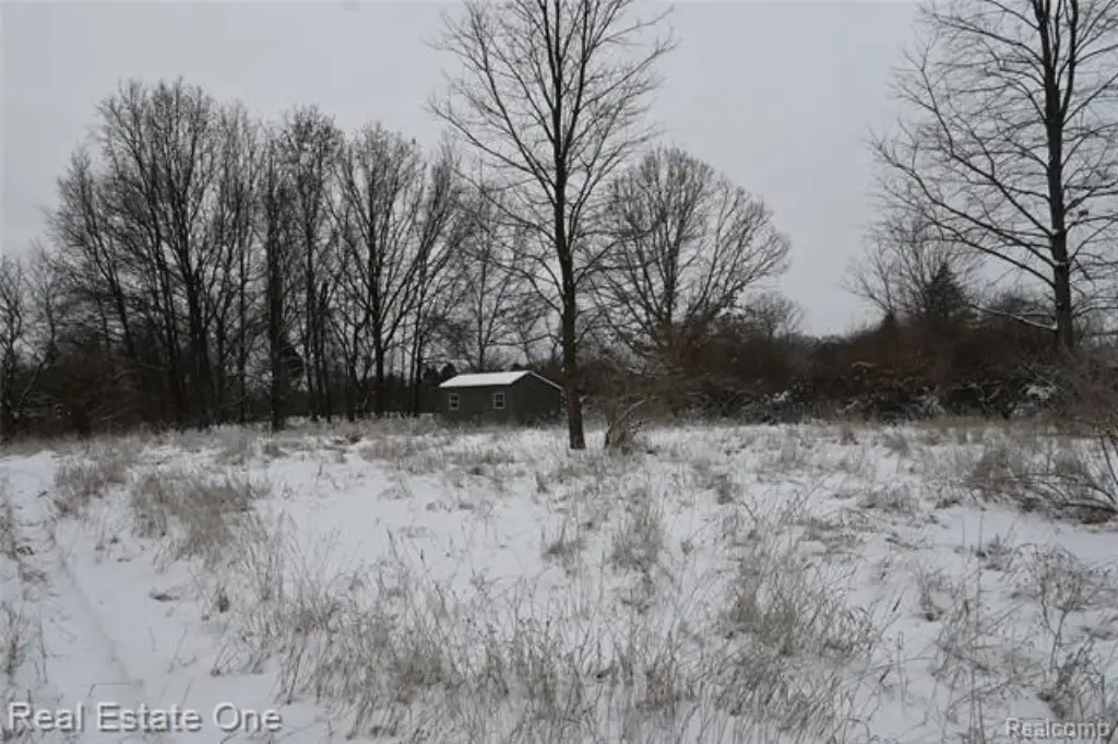
- Secluded 12+ acre parcel at the end of a private drive in Henrietta Township
- Partially wooded land that backs up to the Grand Trunk Railway
- Recreational property with established hunting stands and maintained food plots
- History of deer and turkey activity with abundant wildlife
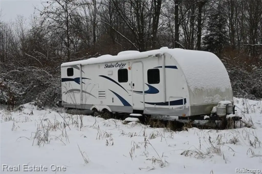
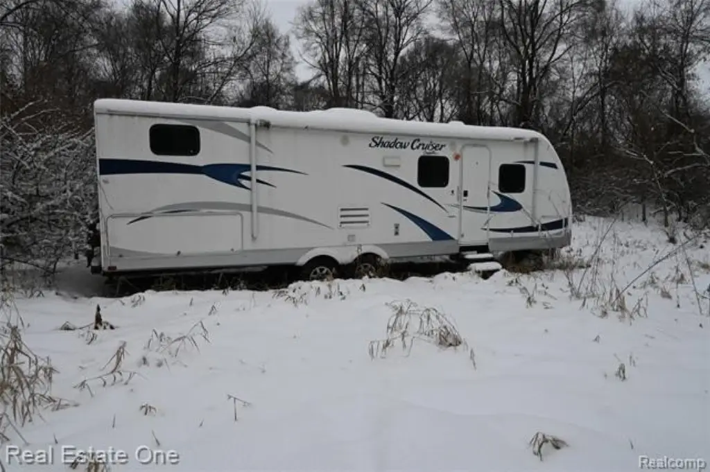
- 2012 Shadow Cruiser camper included with the sale (well maintained, working order, includes a title)
Overview
The land is located at the end of a private drive and is backed up to the Grand Trunk Railway, creating a secluded, quiet environment. The seller notes a strong history of deer and turkey activity on-site.
A 2012 Shadow Cruiser camper is included with the sale. The camper is described as well maintained, in working order, and comes with a title, which may support immediate use as a hunting camp, weekend retreat, or temporary lodging. Zoning is listed as residential, and prospective buyers should review applicable restrictions for their intended recreational use.
Current Use by Public Records
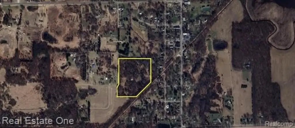
Map
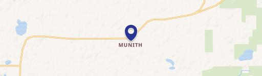
- City
- Munith
- County
- Jackson
- State
- Michigan
- Longitude
- -84.254305
- Latitude
- 42.389717