
TBD Hwy 169, Redding, IA 50860


- Added:
- Apr 21, 2026
- Days on Market:
- 57
- Last Refresh:
- Jun 16 at 7:06 pm
Property Features for TBD Hwy 169
General Information
- Property type
- Land
- Property subtype
- Other
- Parking features
- Garage
- Standard status
- Active
- Lot size
- 1,232.04 Acres
Taxes and HOA fees
- Tax Annual Amount
- 0
Building Details
- Architectural style
- Other
Listing agent Nick Hopp (319) 559-2345
Listing office High Point Land Company, LLC 520 Main Street South, Stewartville, IA (319) 559-2345
Listing date Apr 21, 2026
Copyright © 2026 My State MLS. All rights reserved. All information provided by the listing agent/broker is deemed reliable but is not guaranteed and should be independently verified.
HighLights
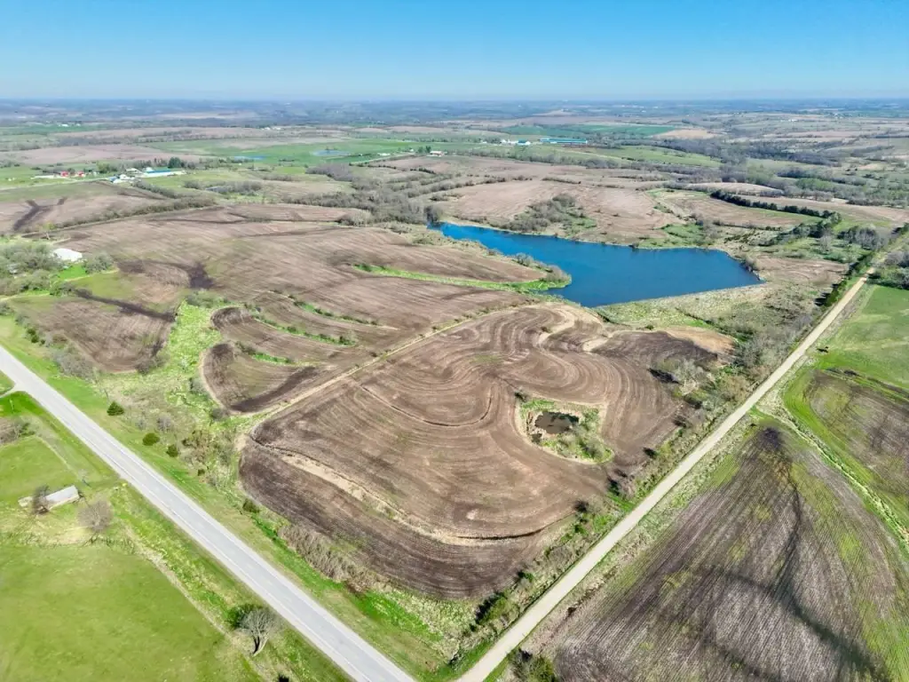
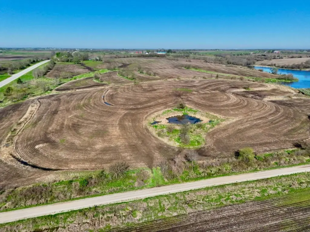
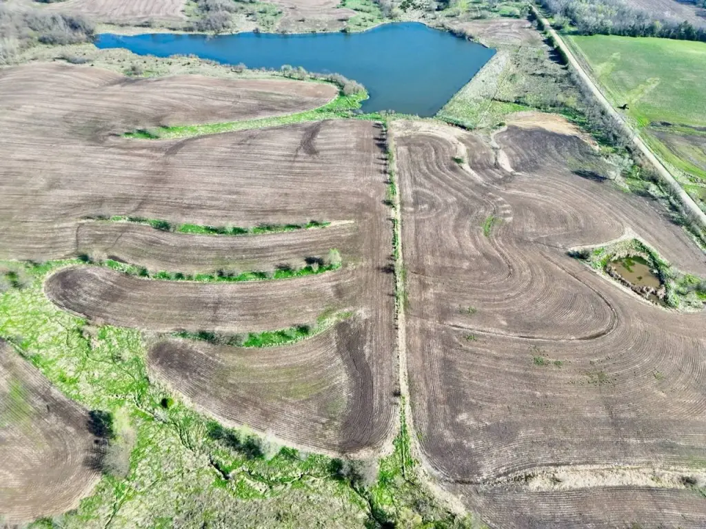
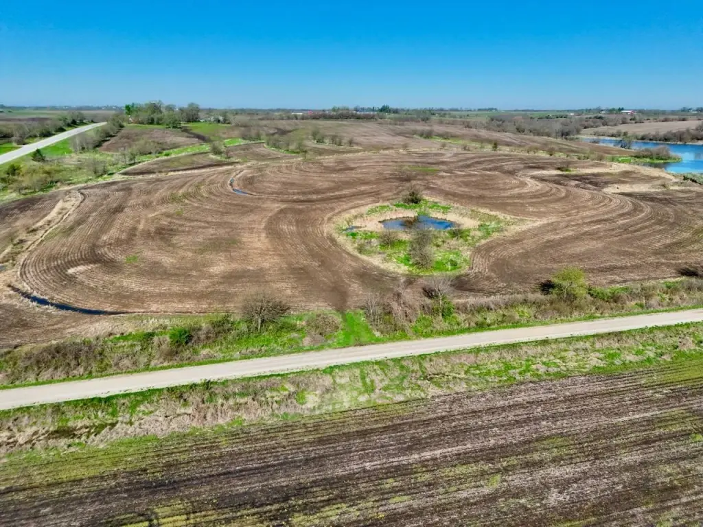
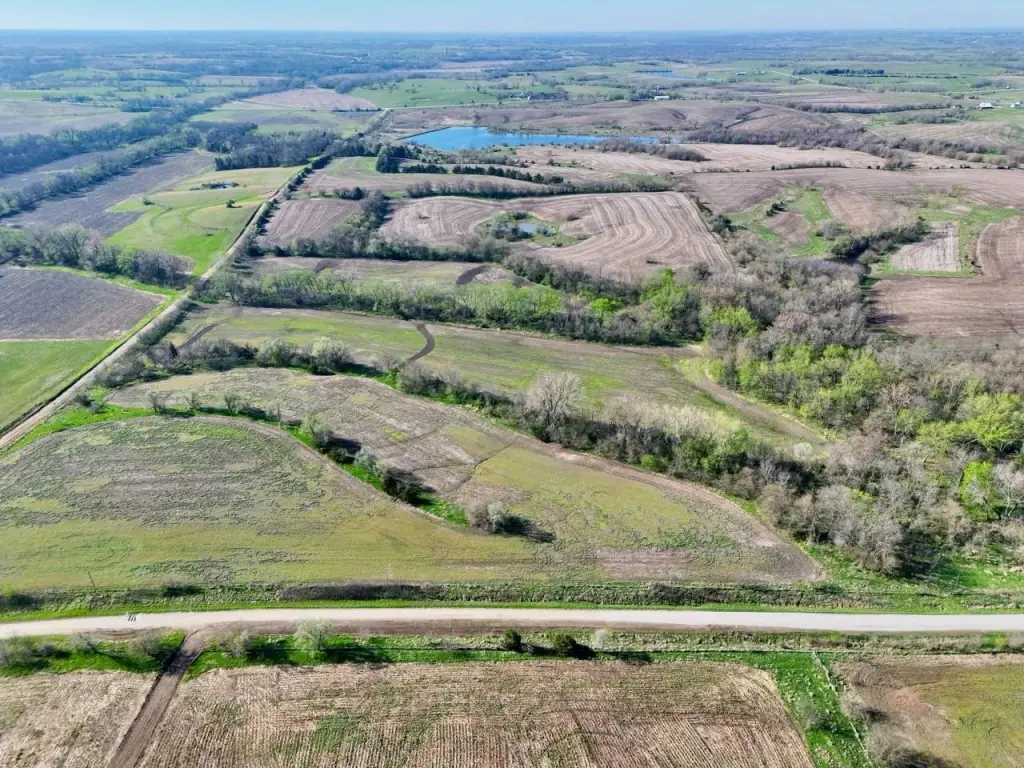
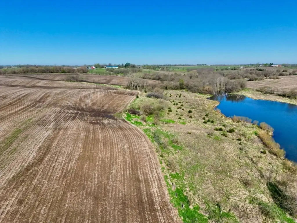
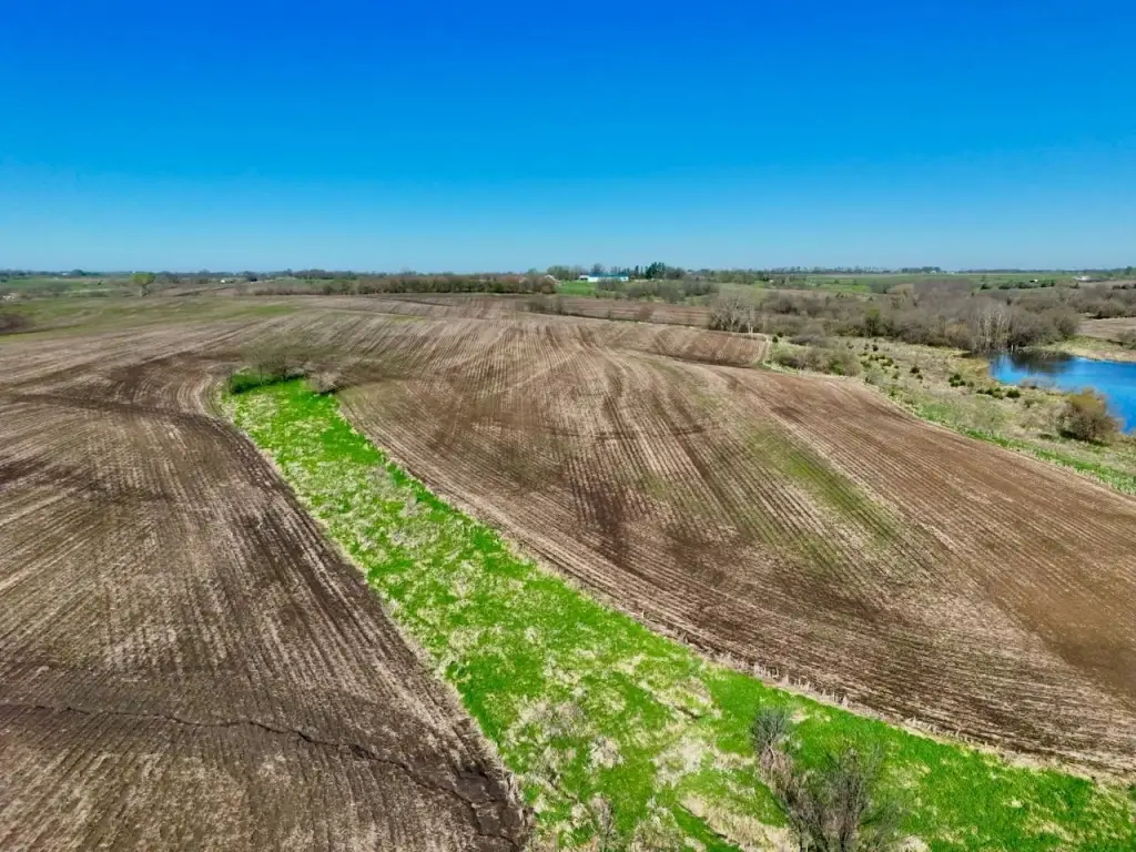
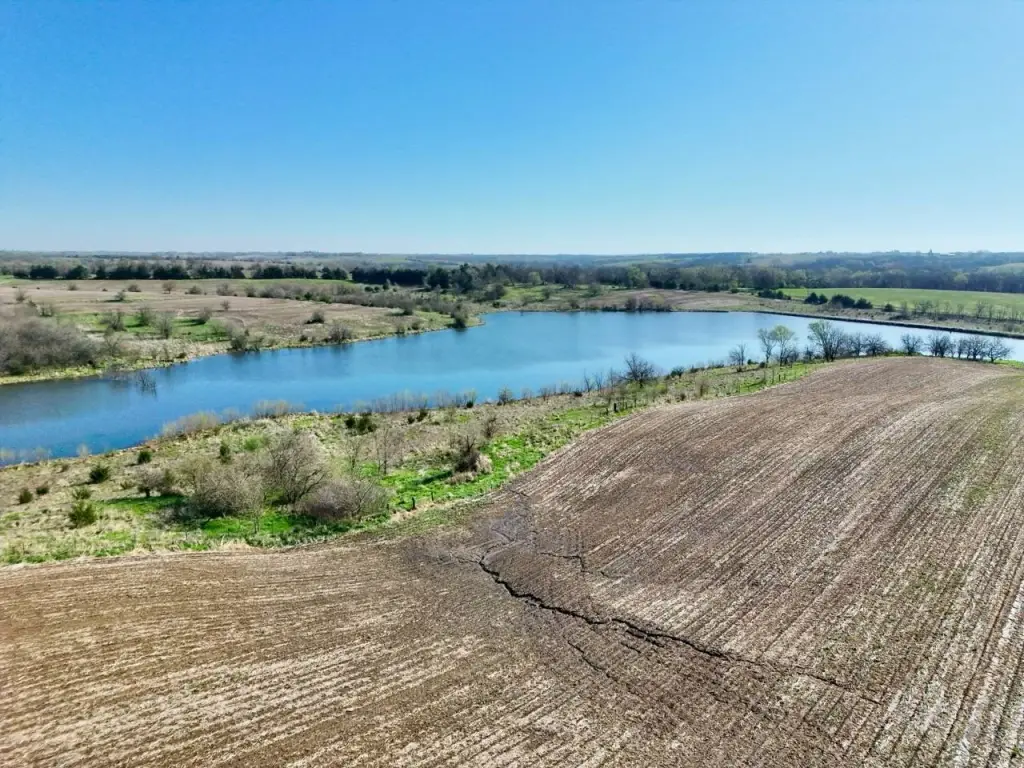
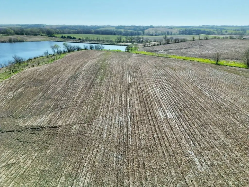
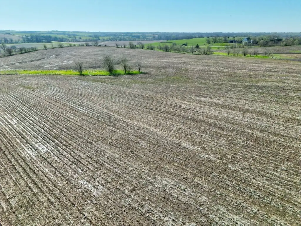
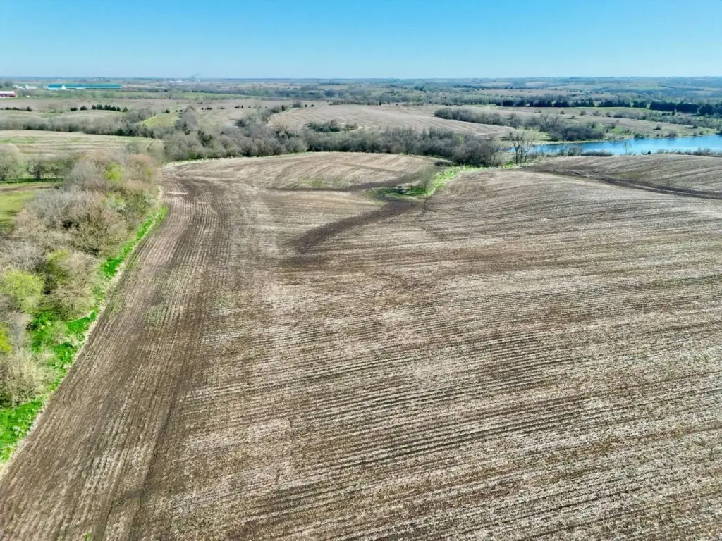
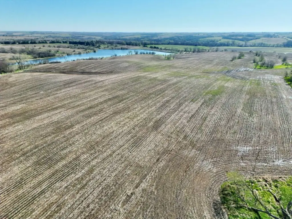
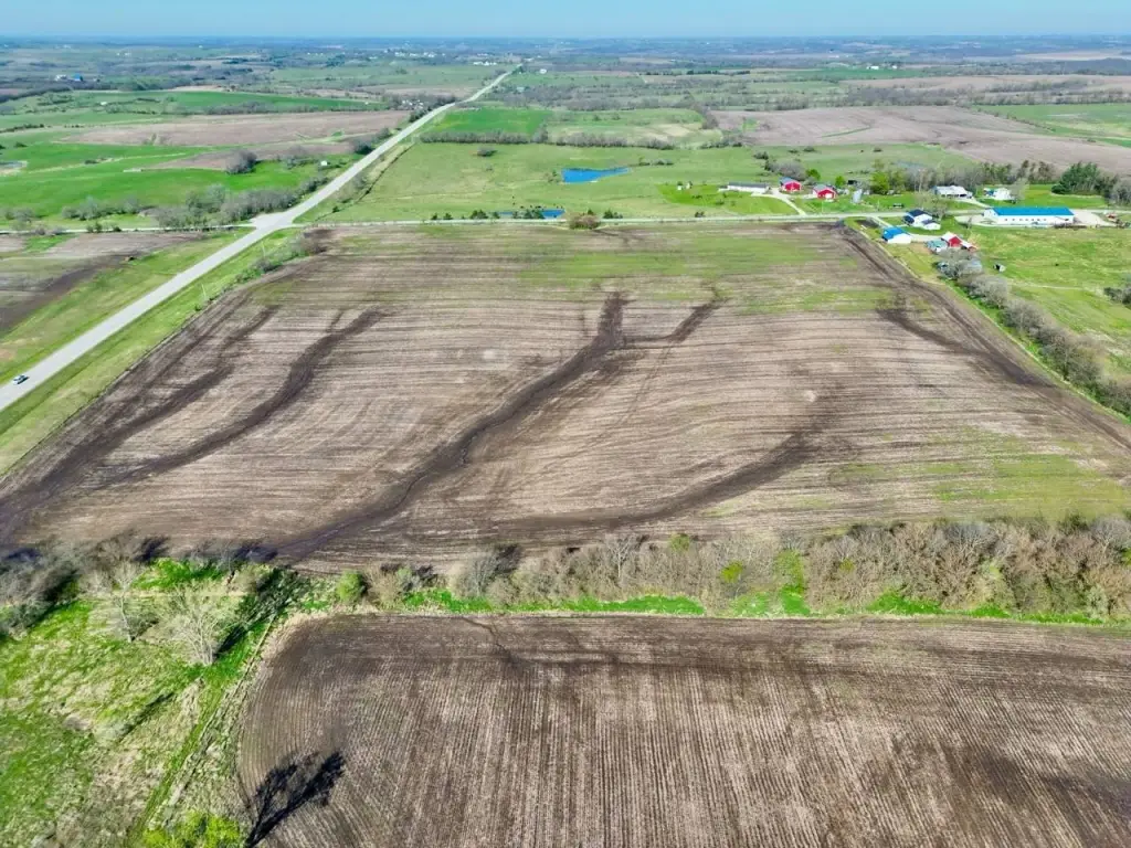
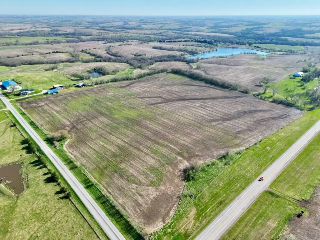
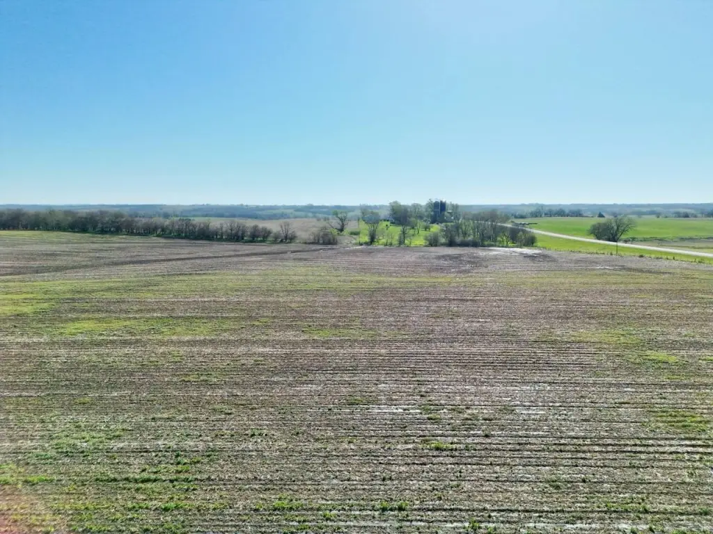
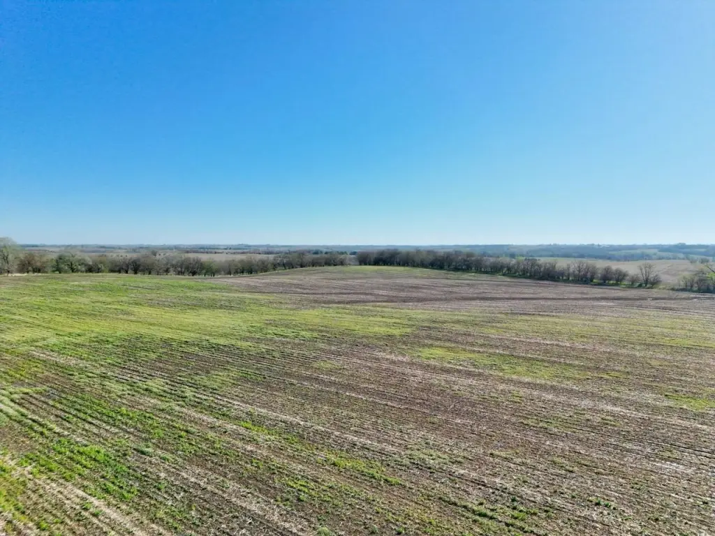
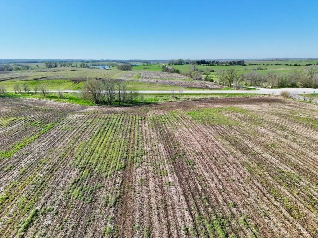
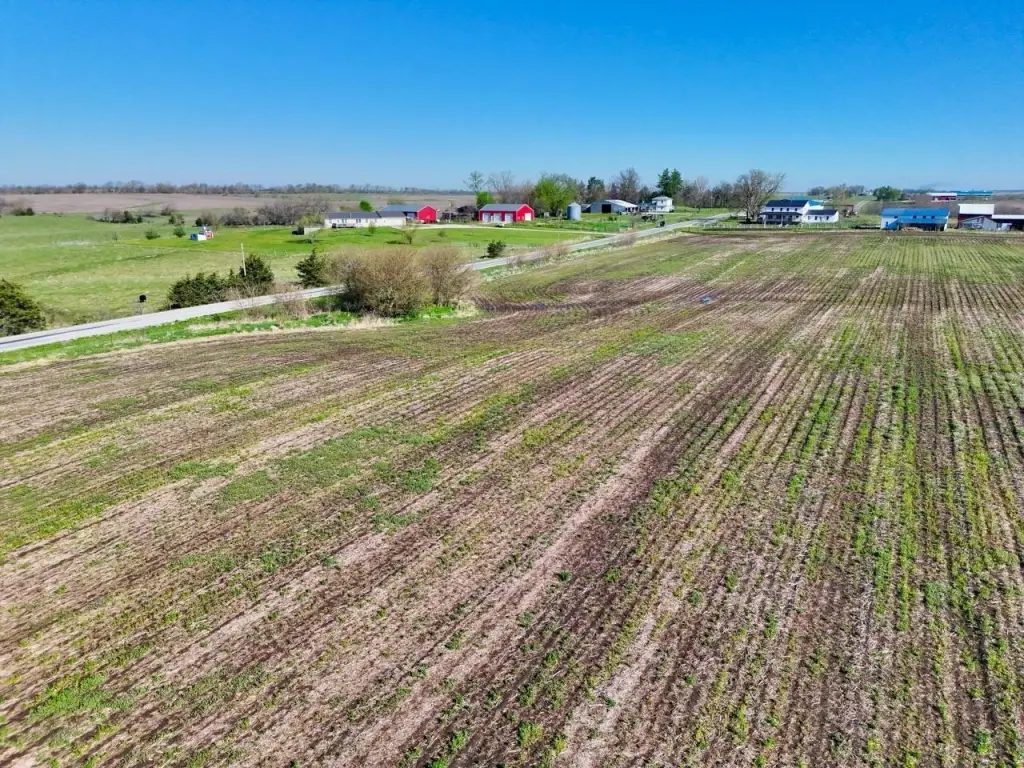
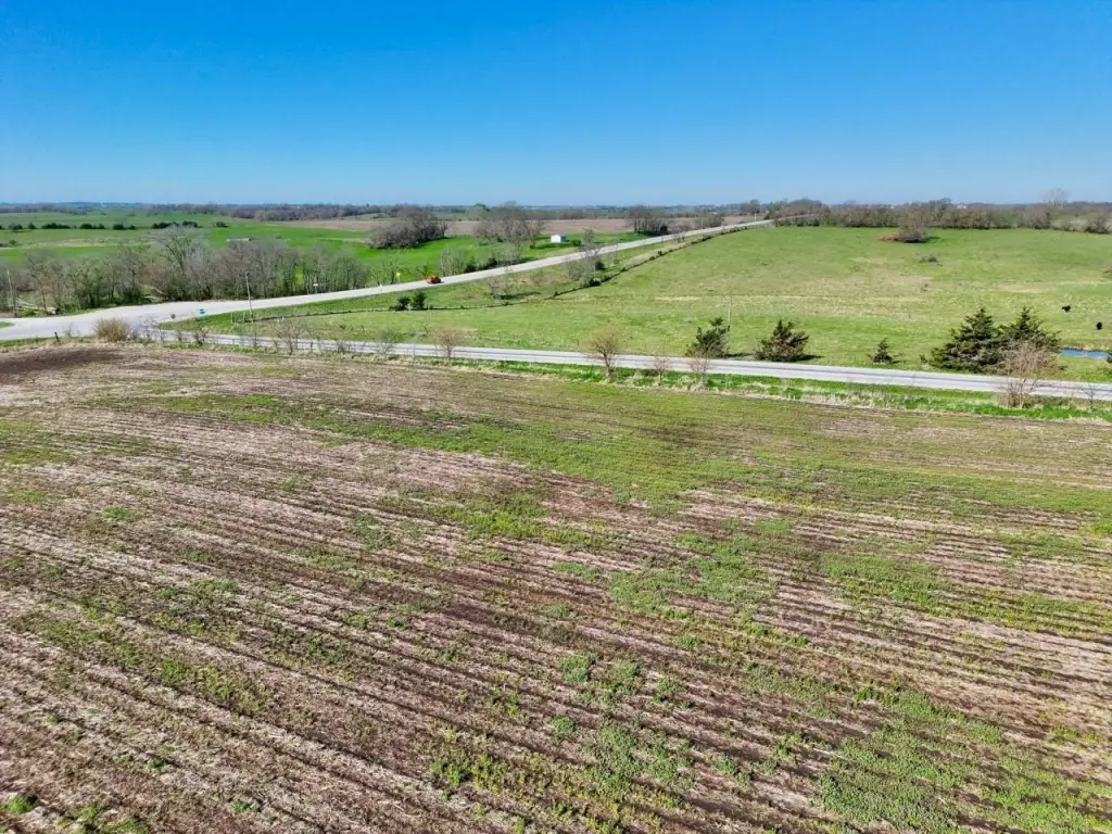
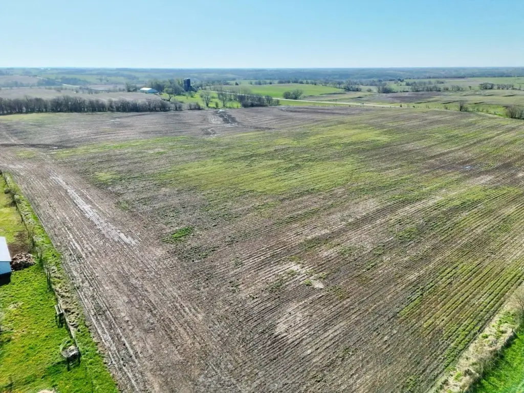
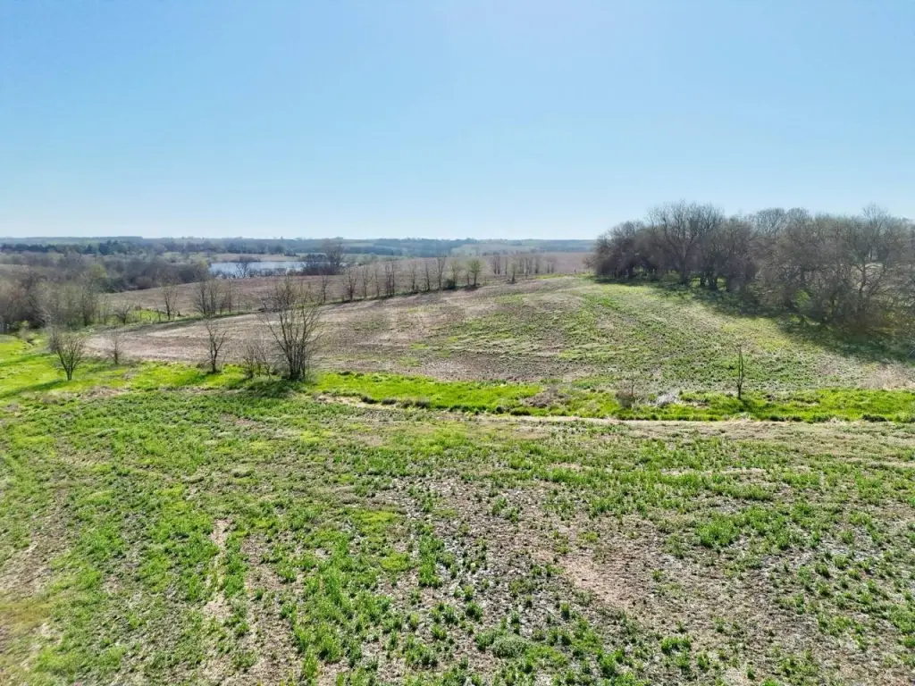
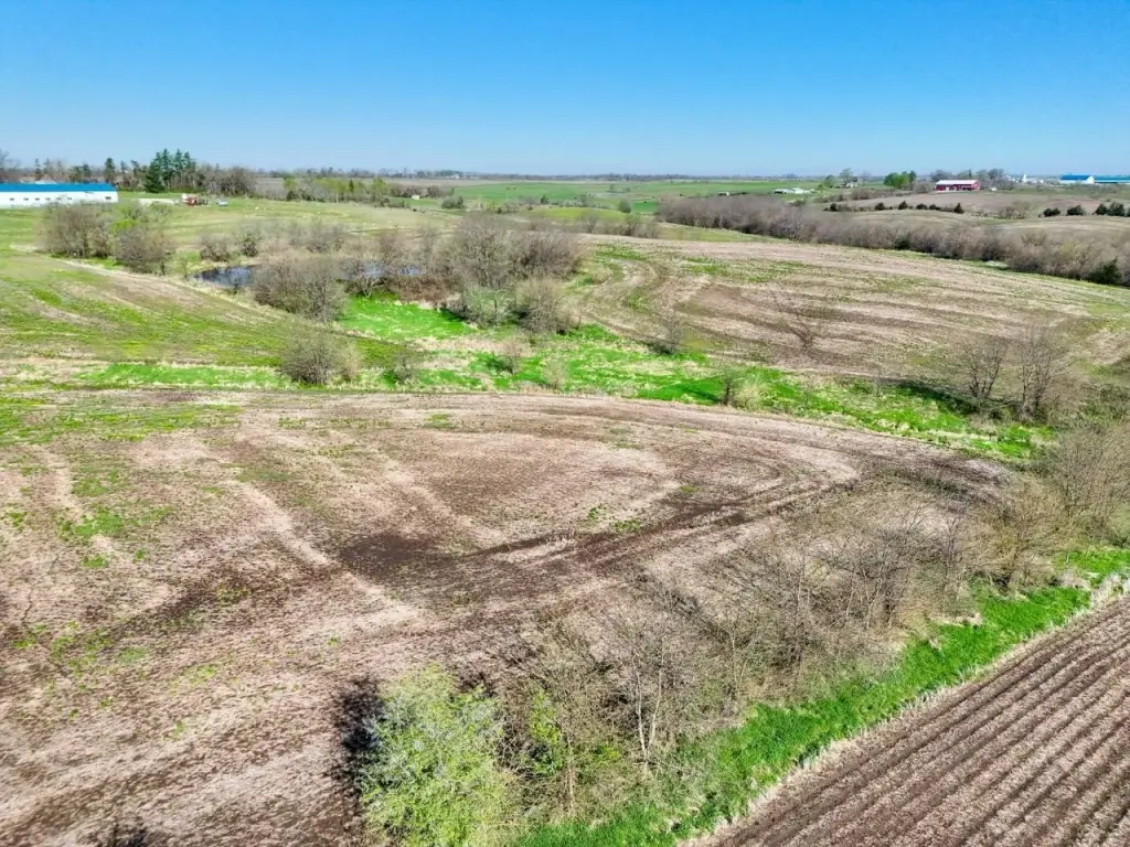
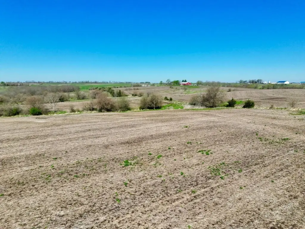
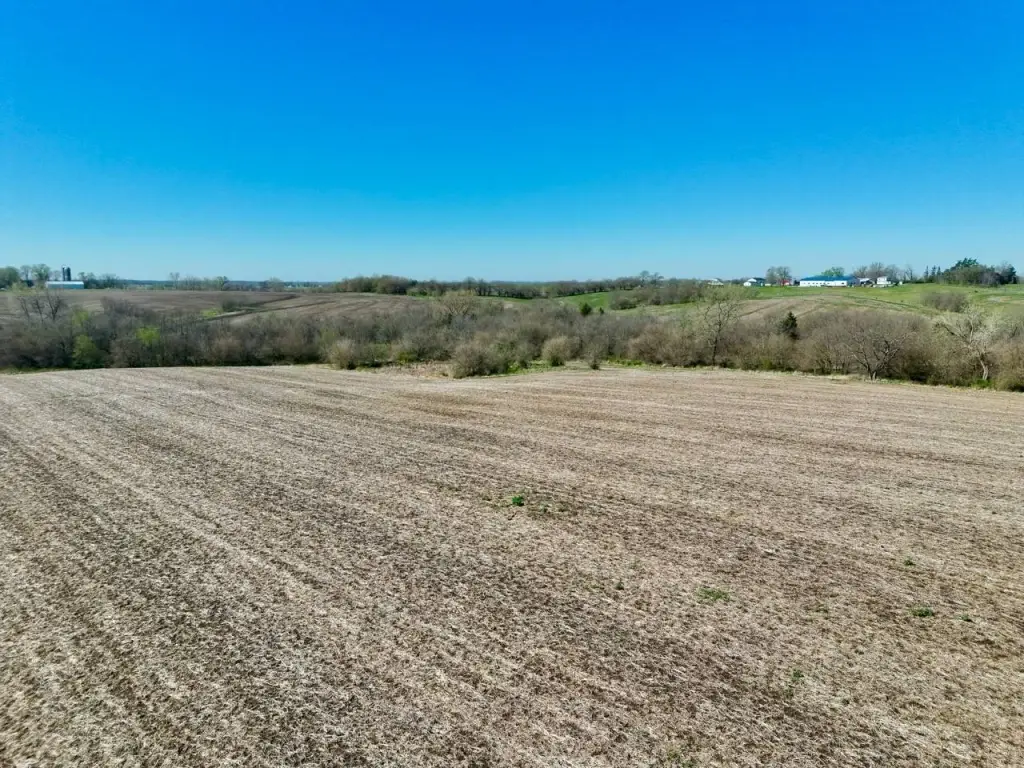
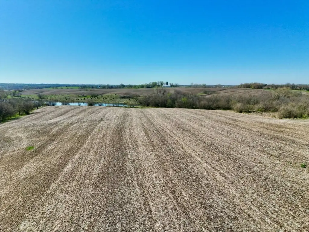
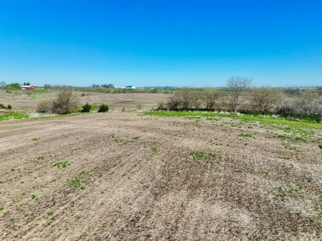
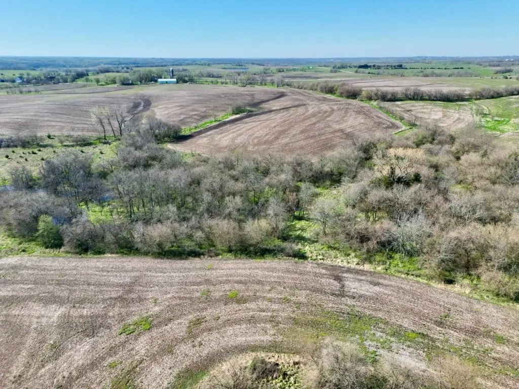
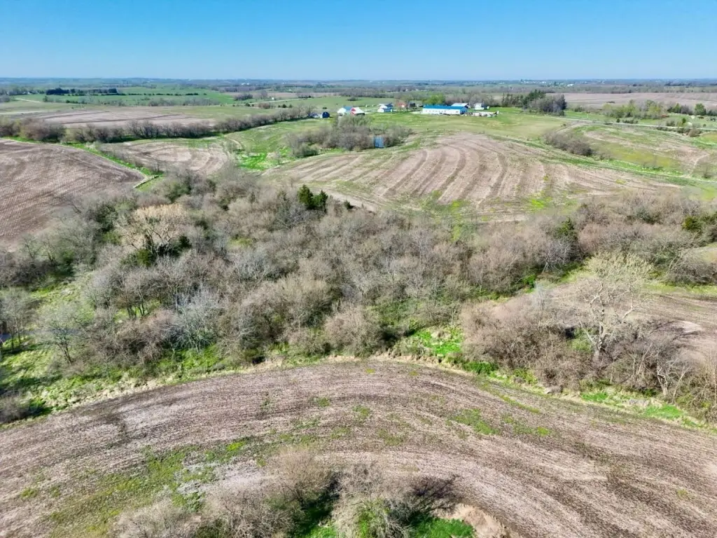
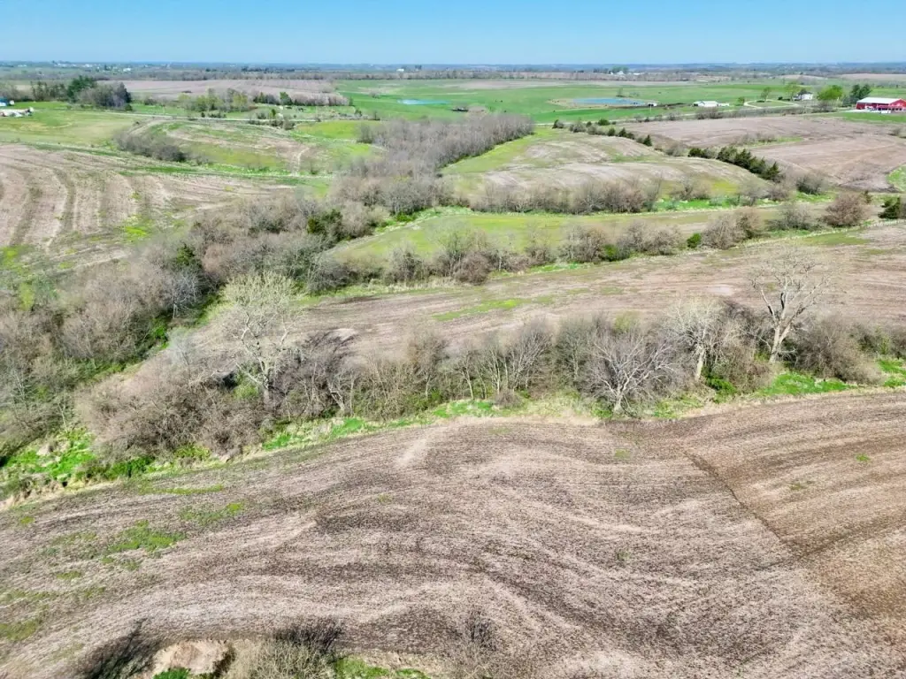
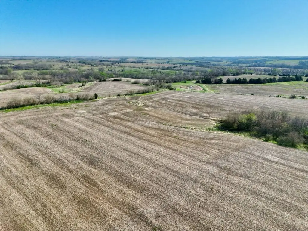
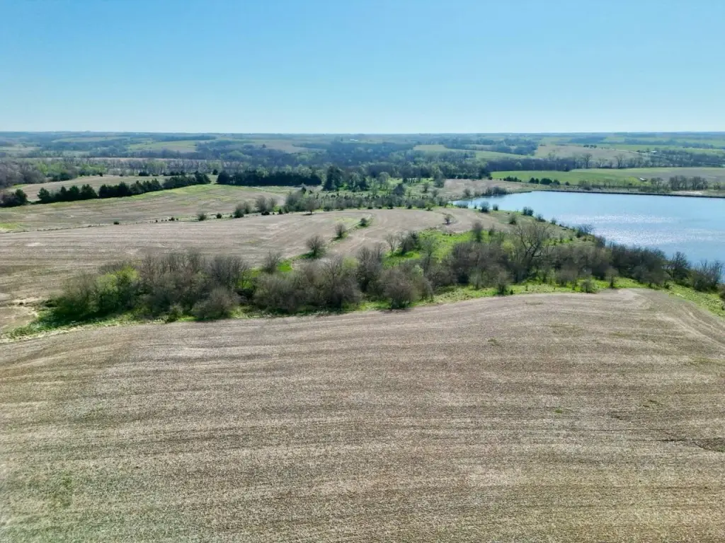
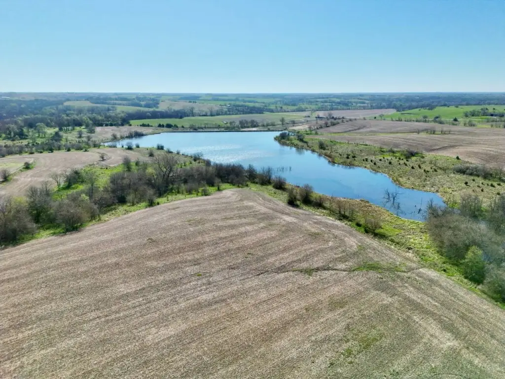
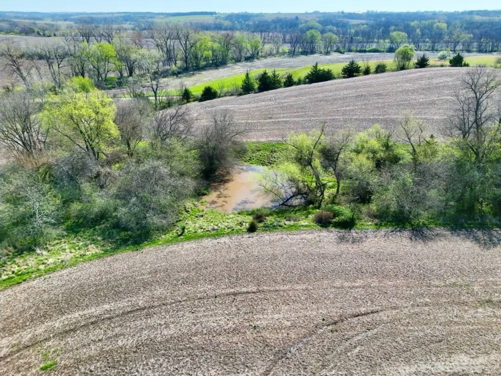
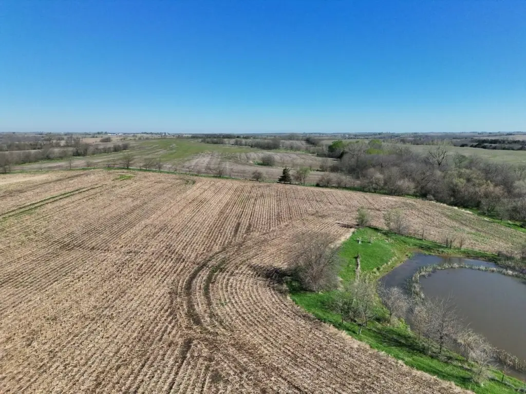
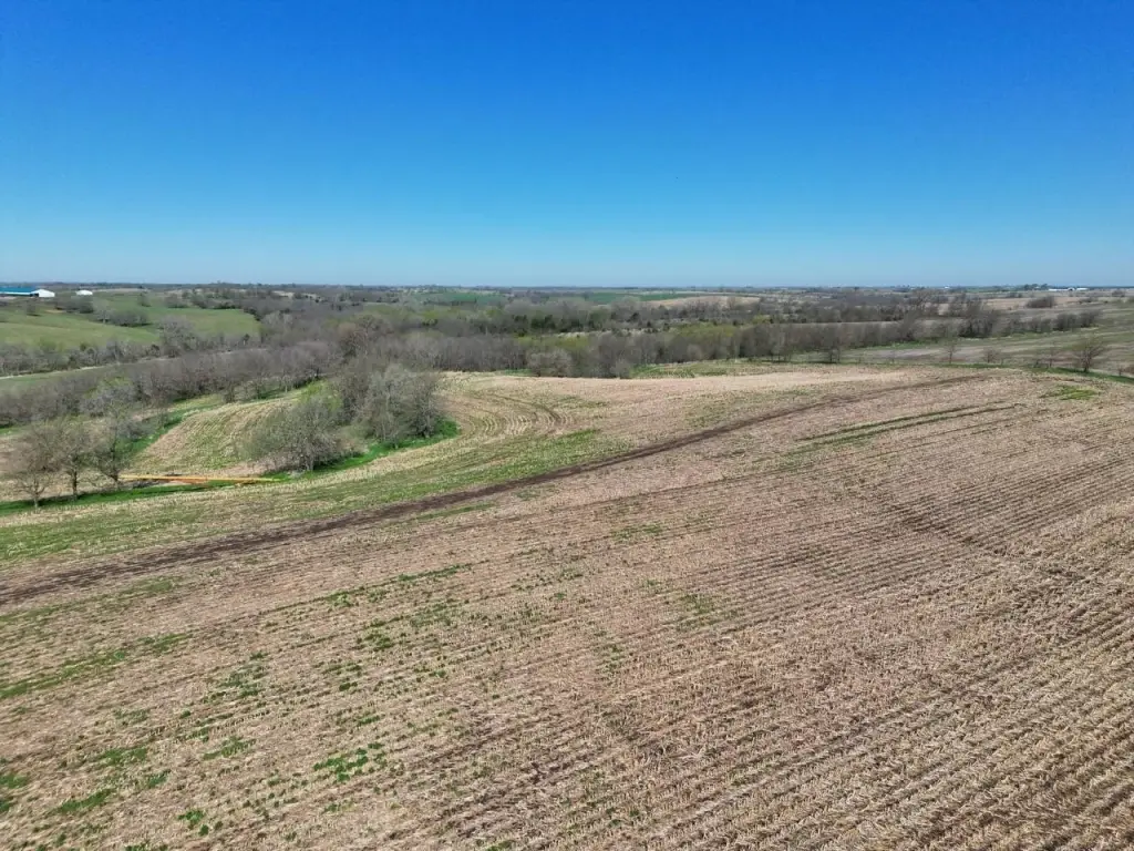
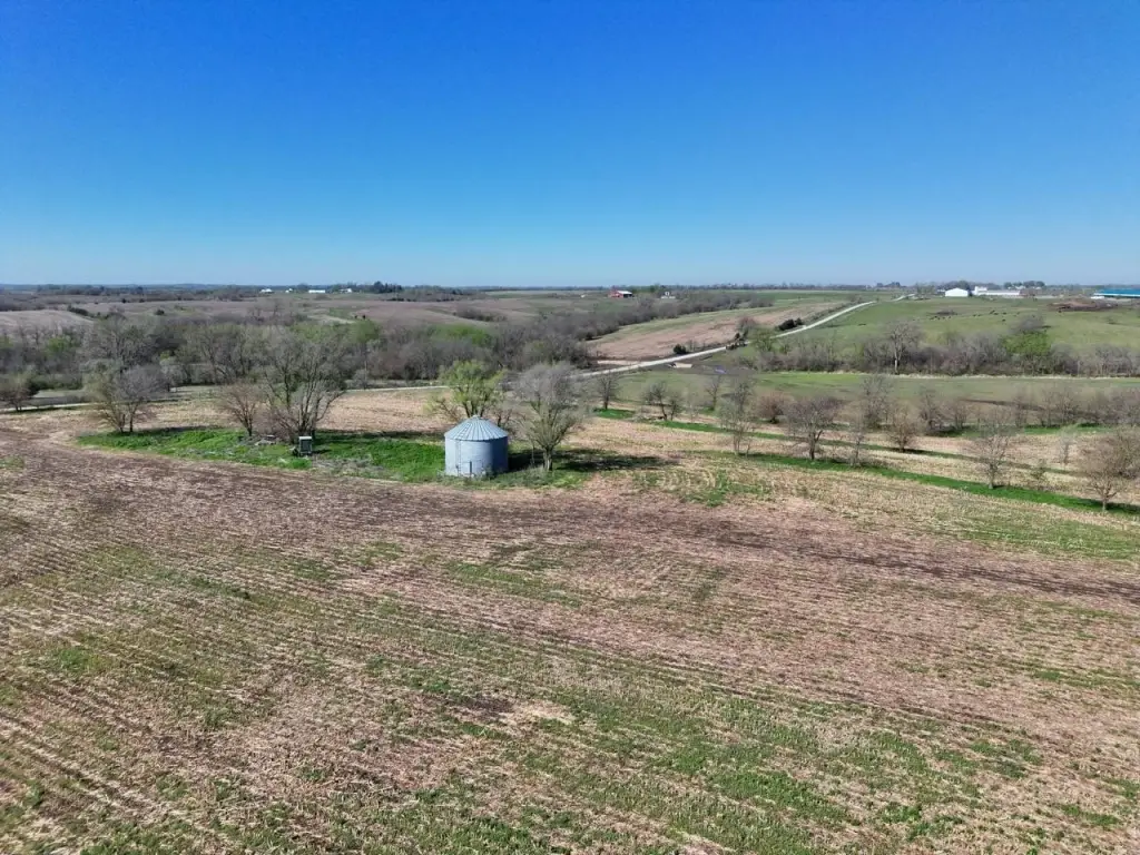
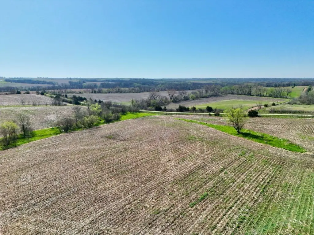
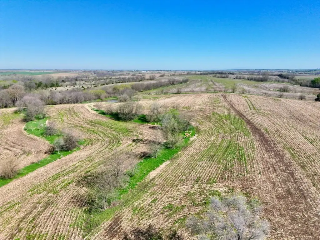
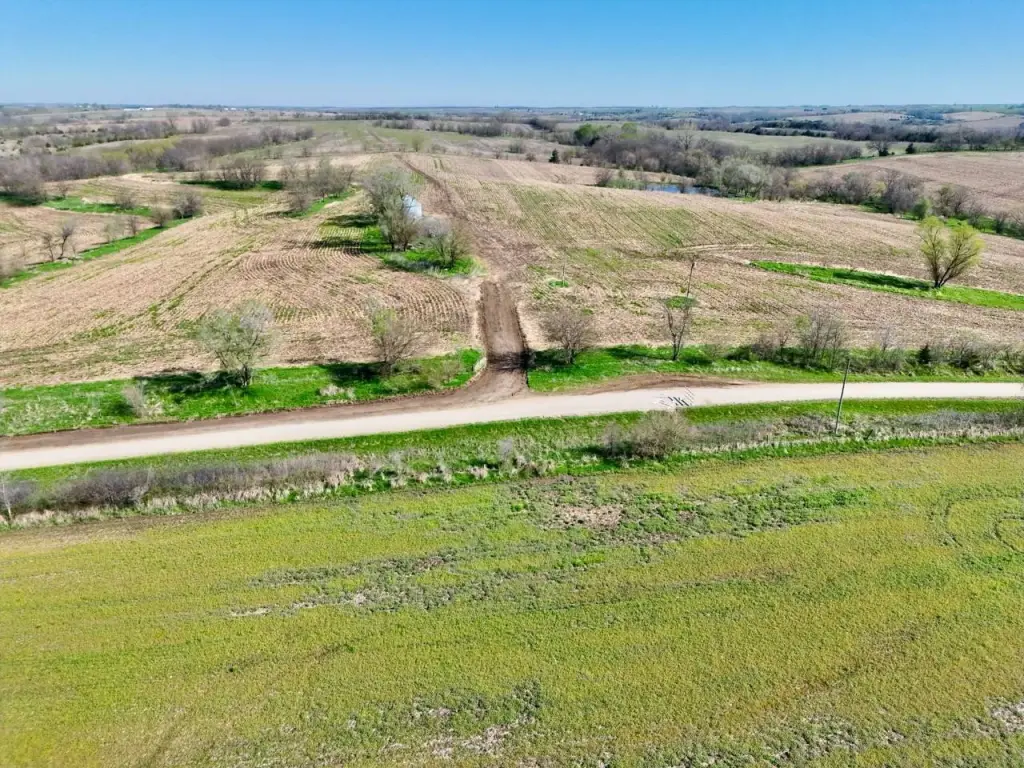
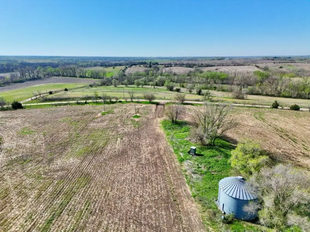
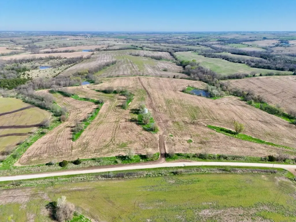
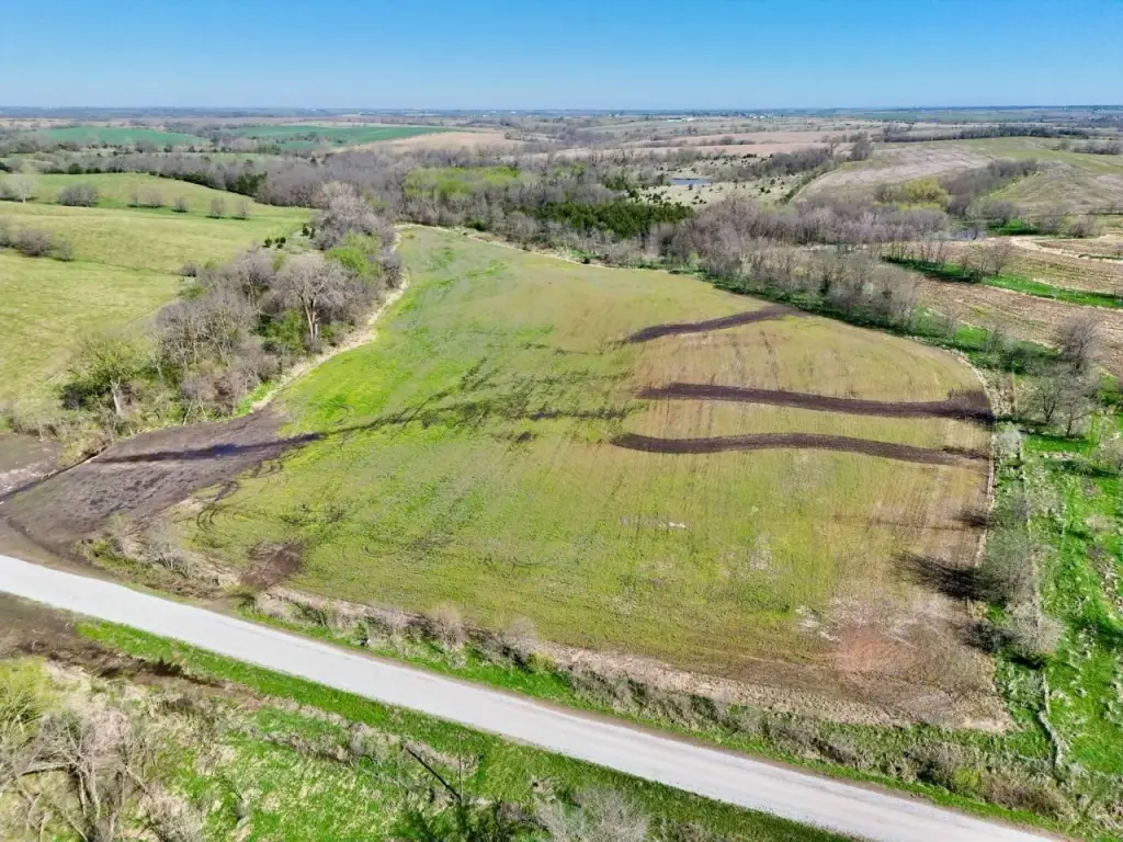
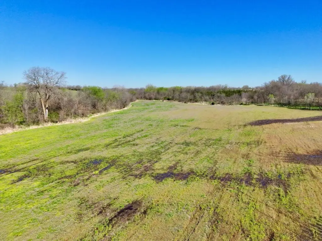
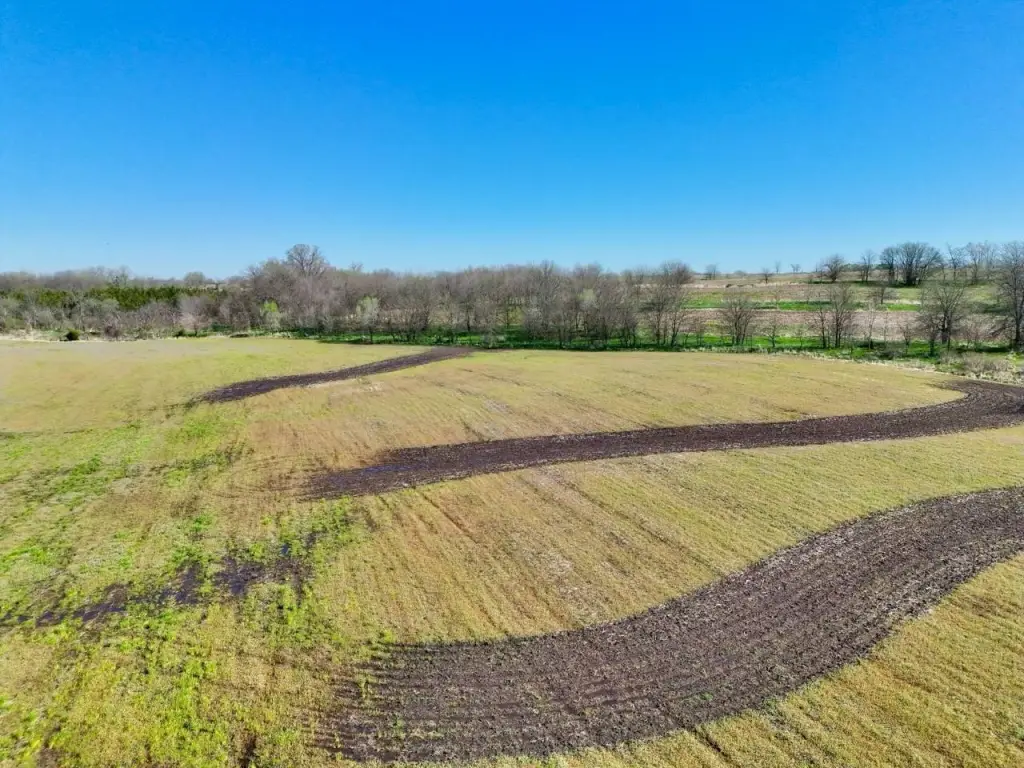
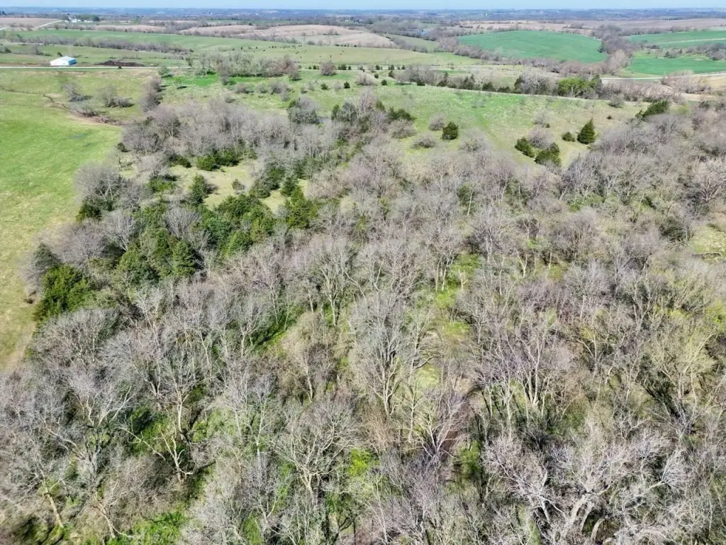
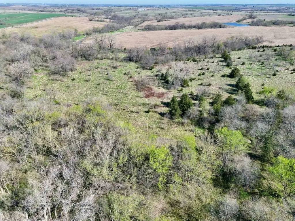
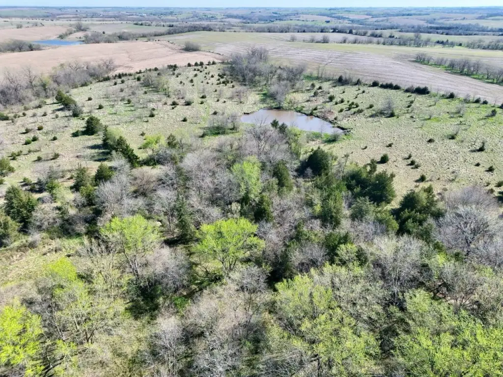
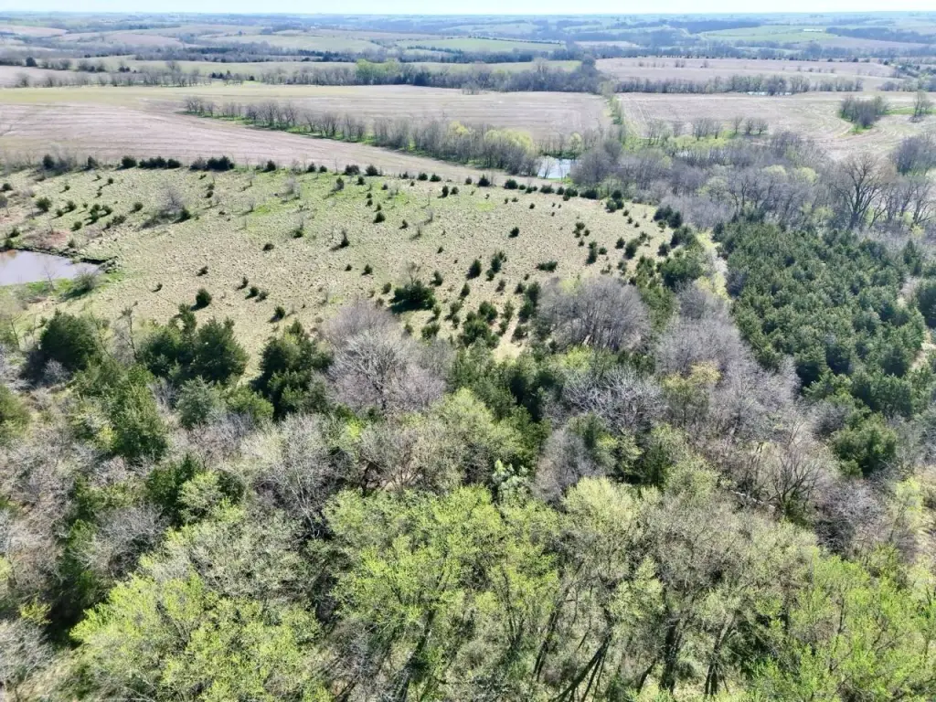
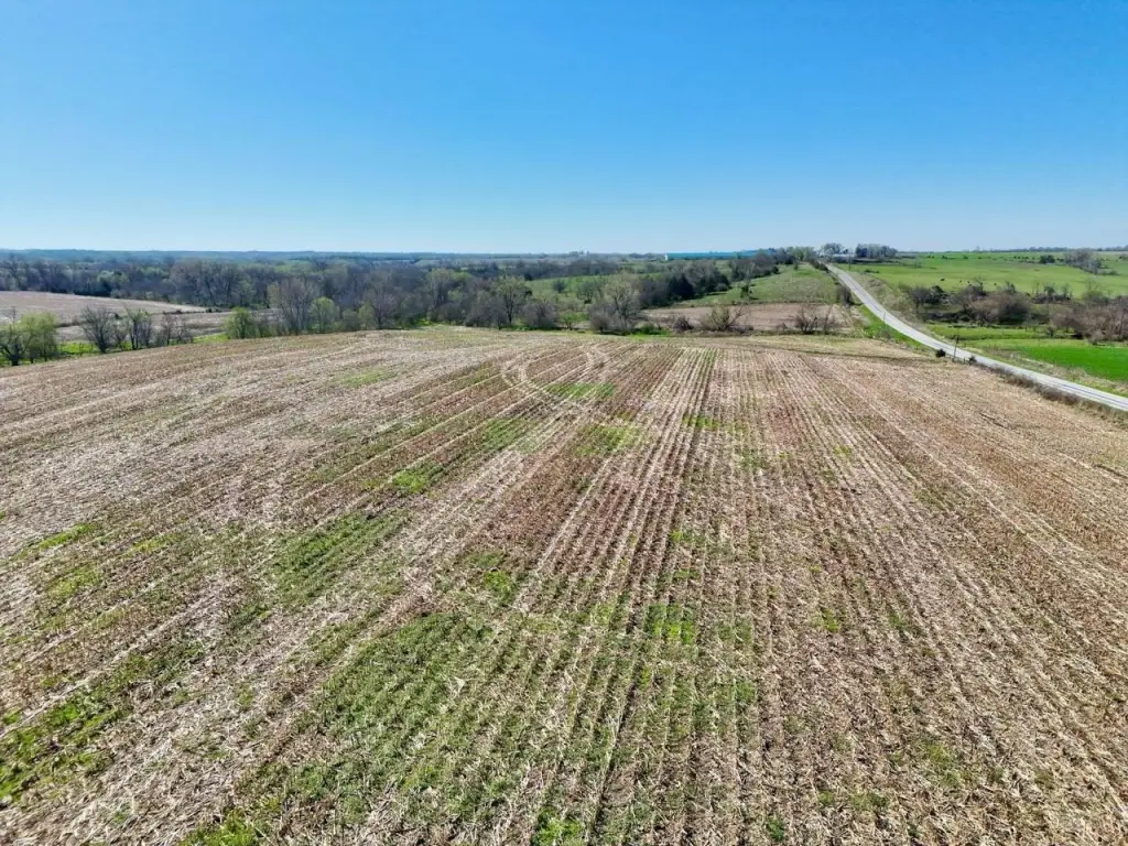
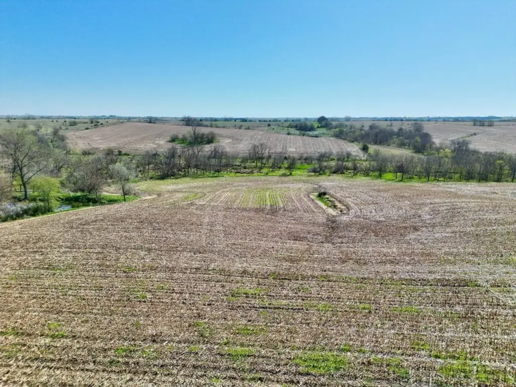
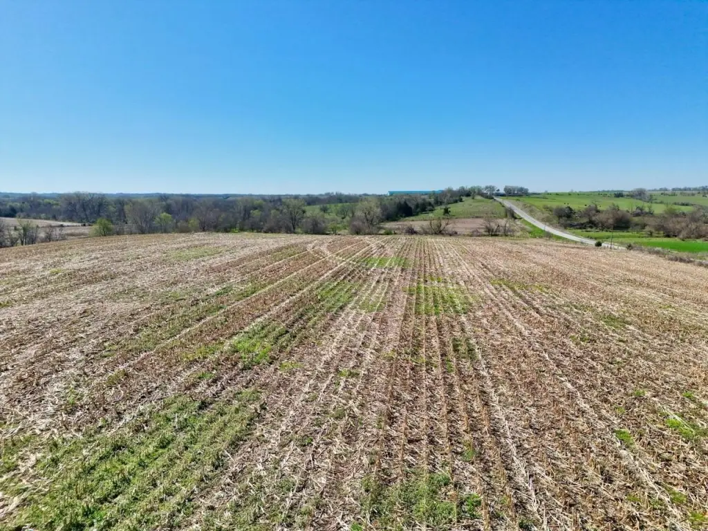
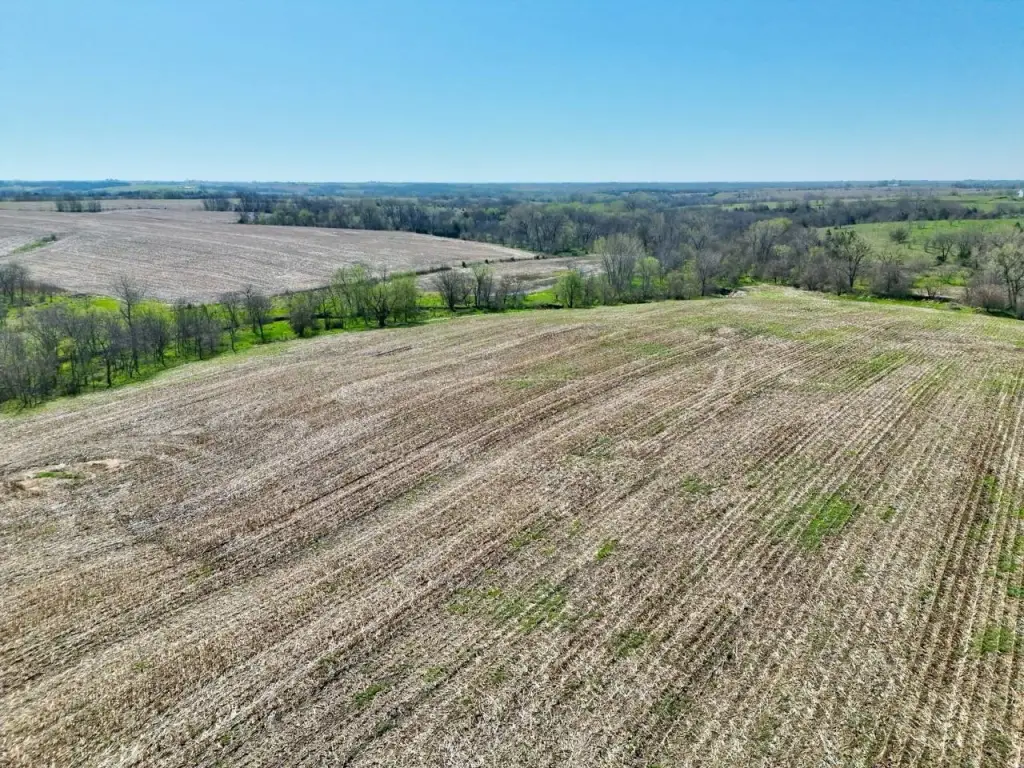
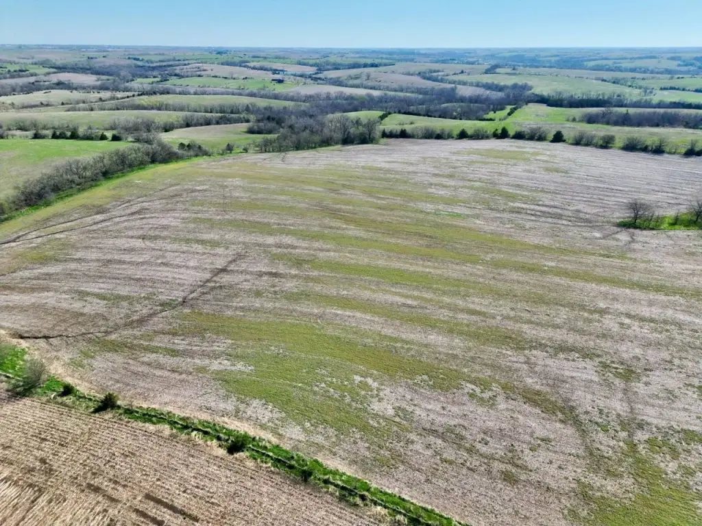
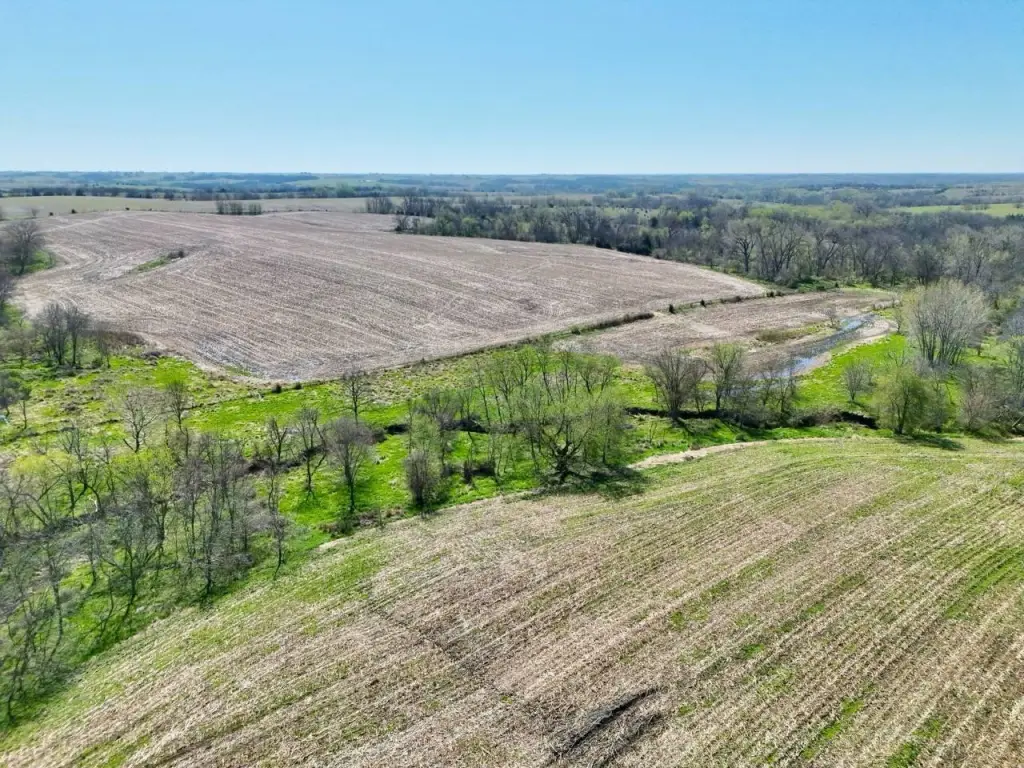
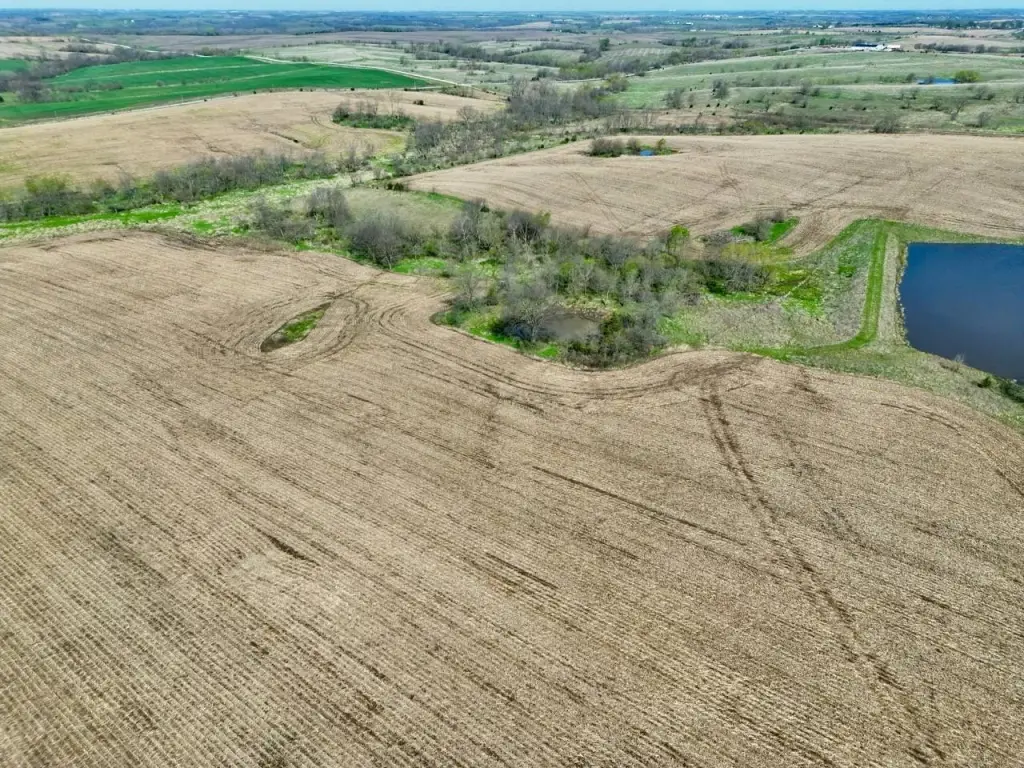
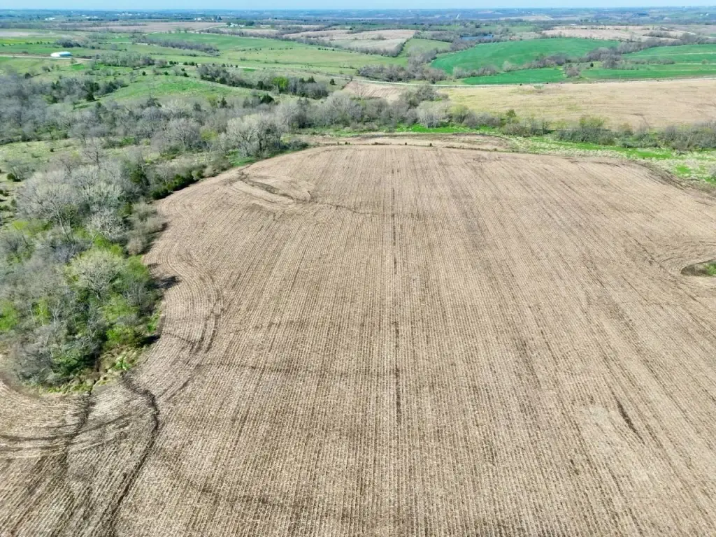
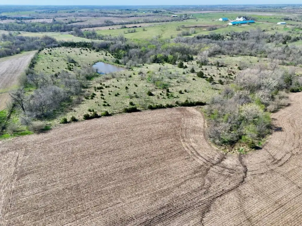
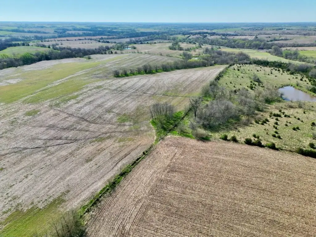
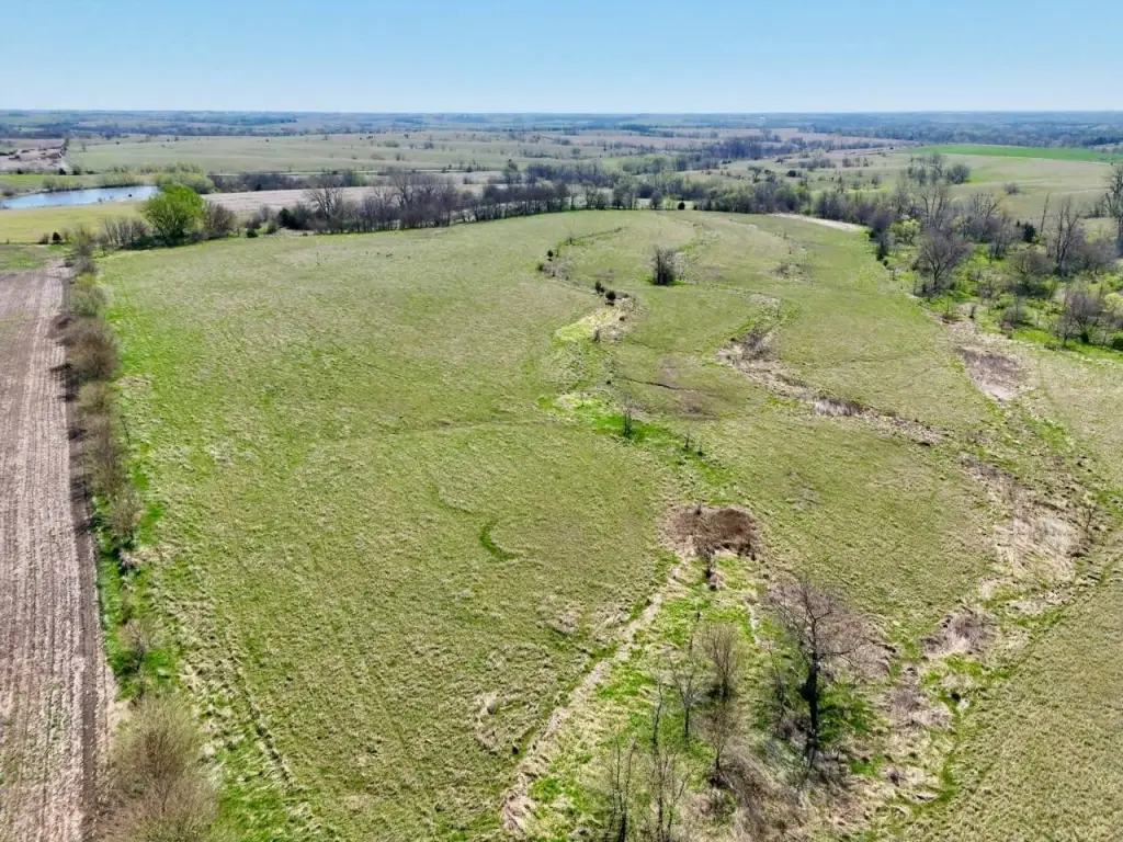
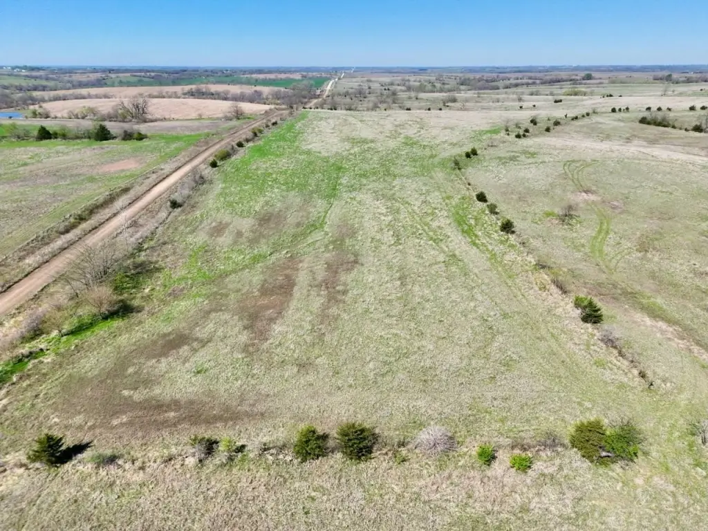
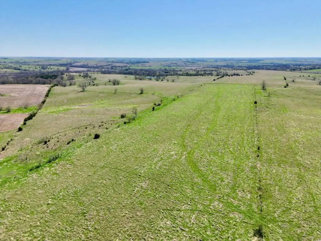
- Large, contiguous landholding: 1,232+/- acres in Southern Iowa
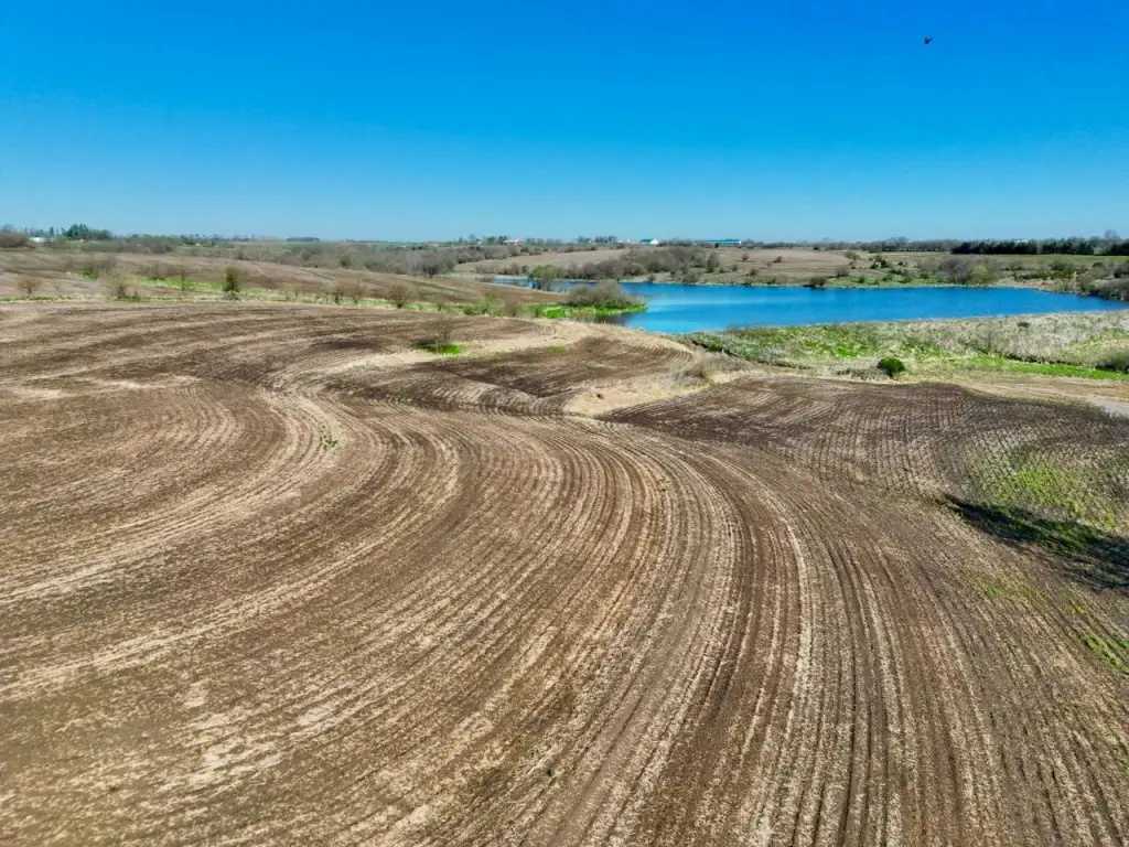
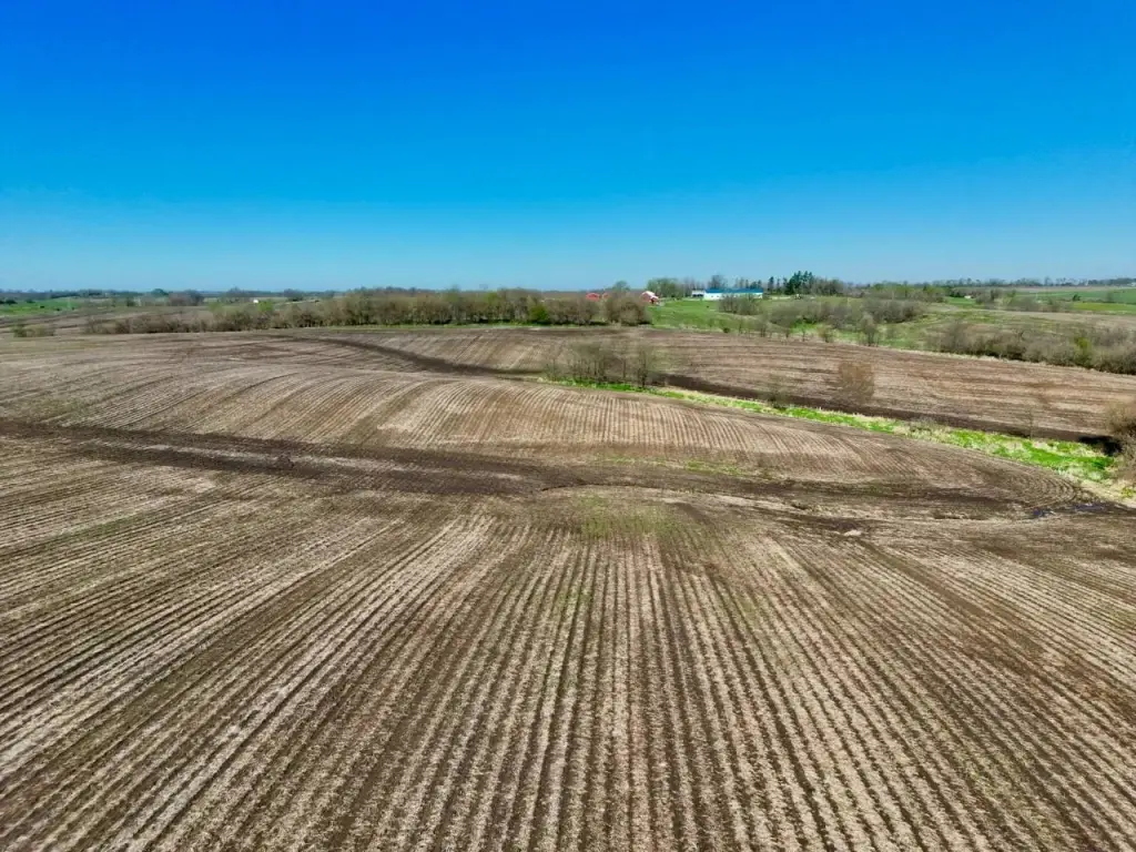
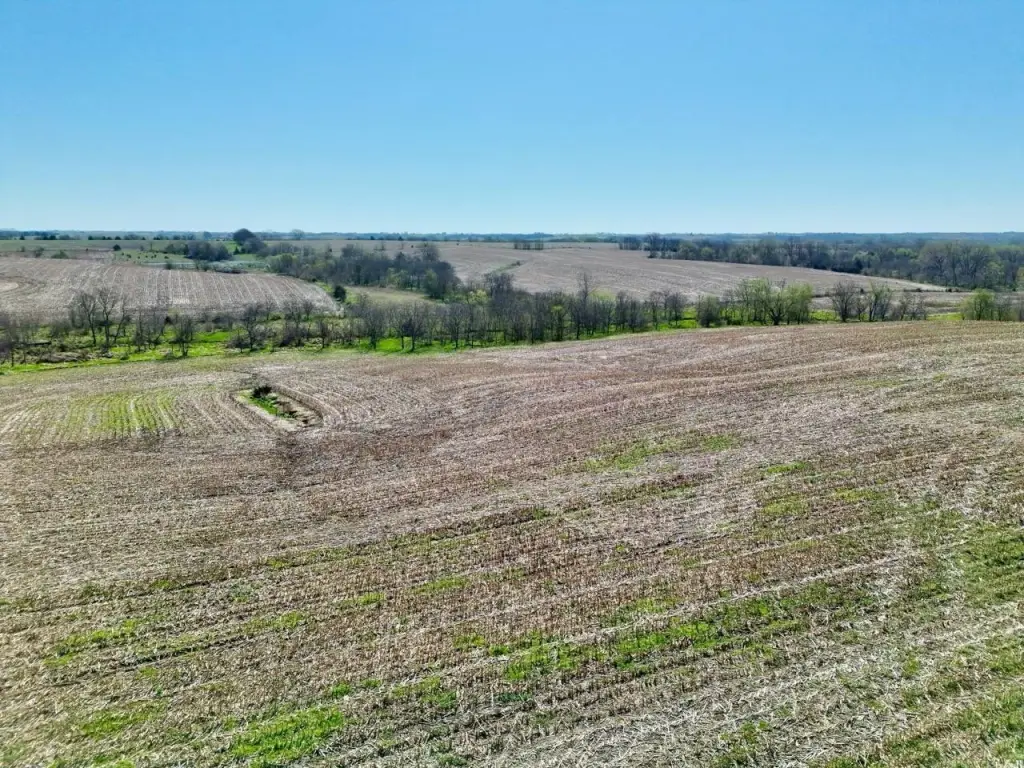
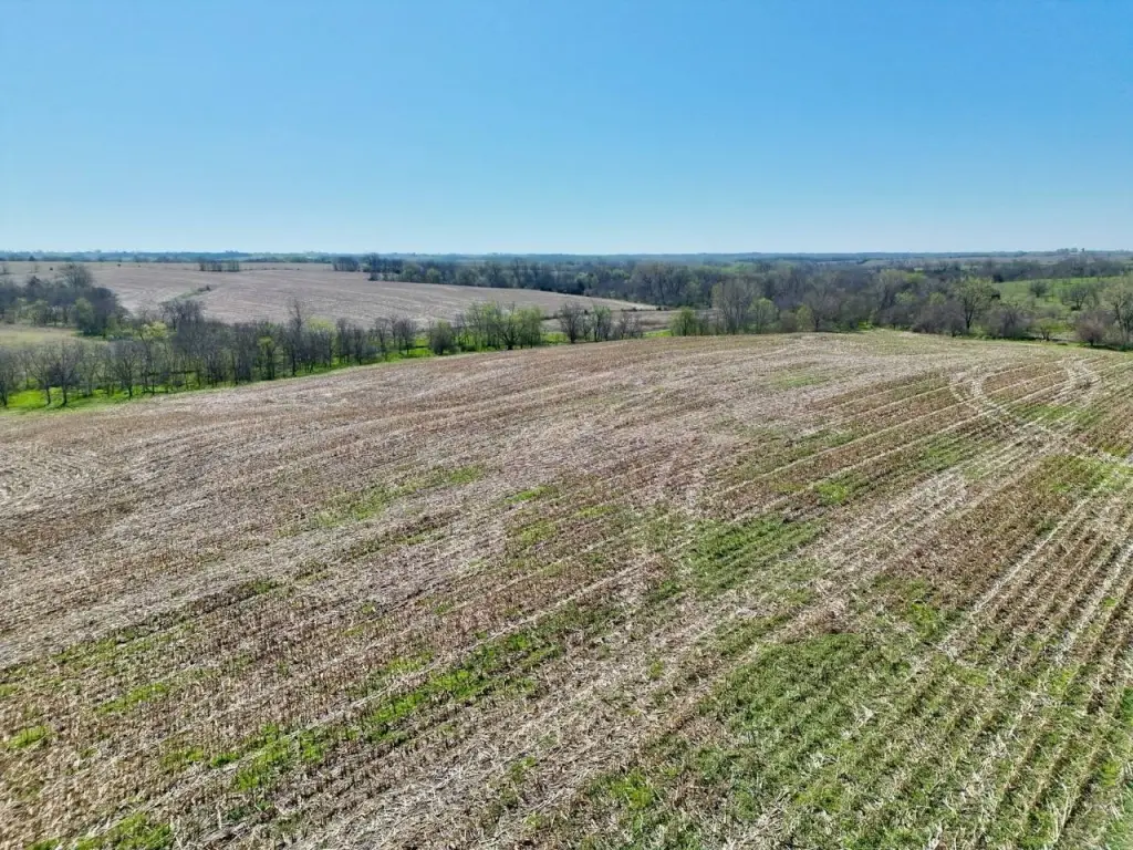
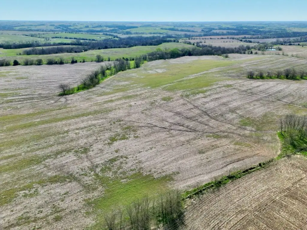
- 947+/- acres of certified cropland PROVIDING INCOME GENERATION
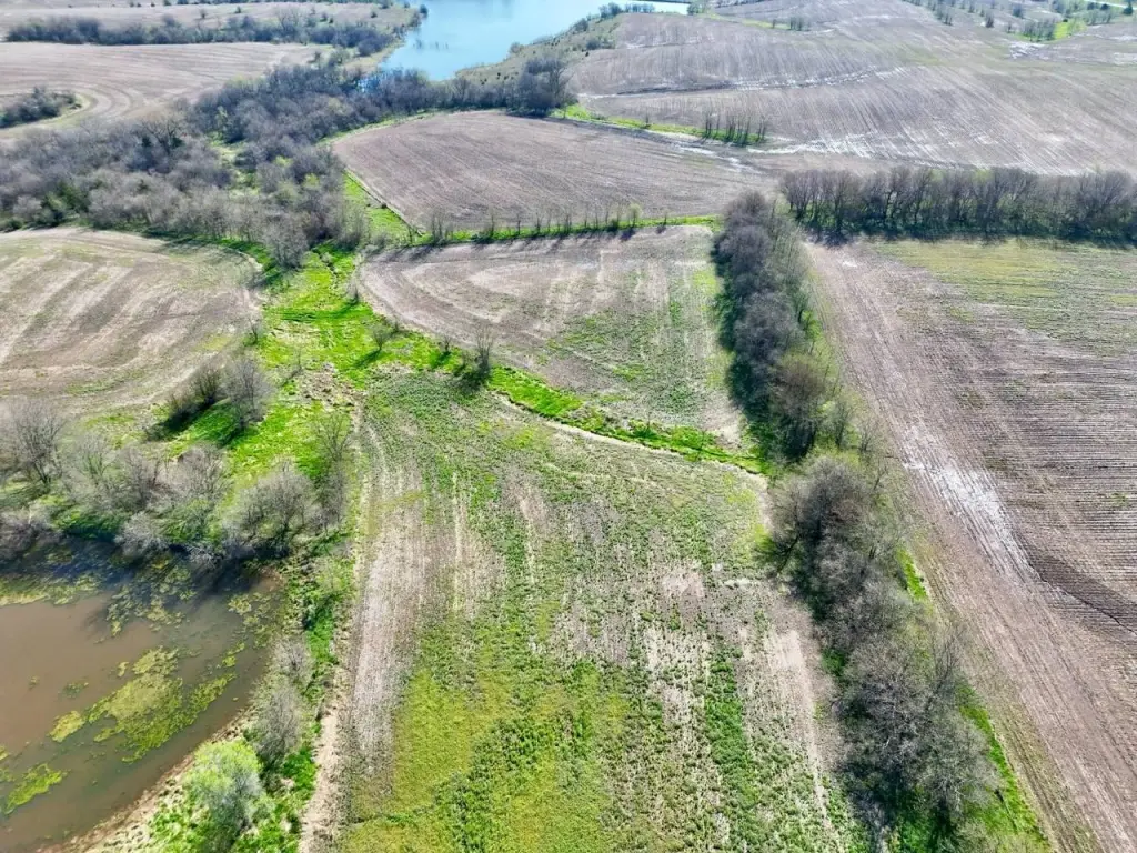
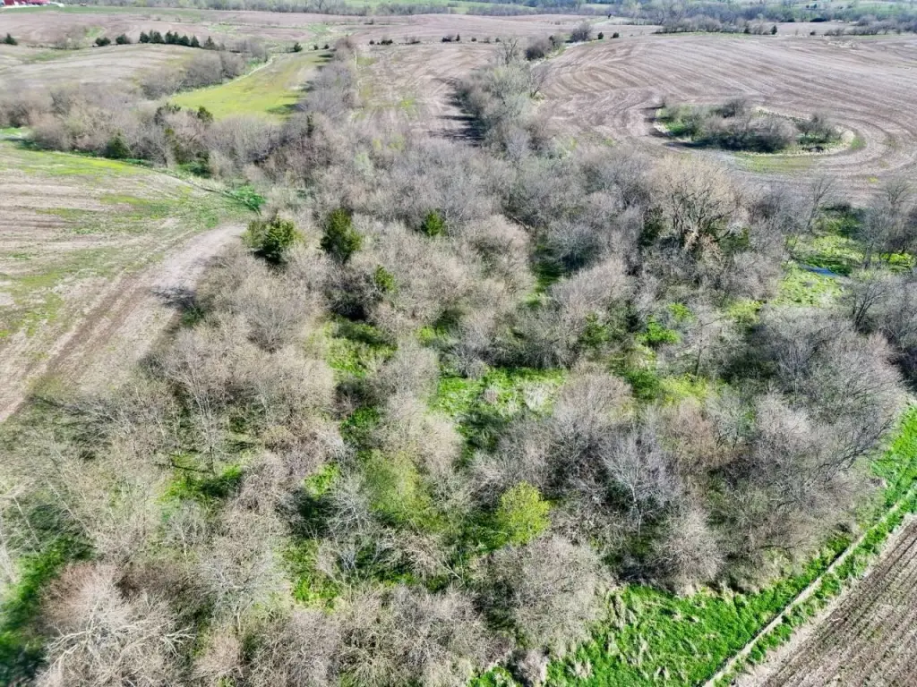
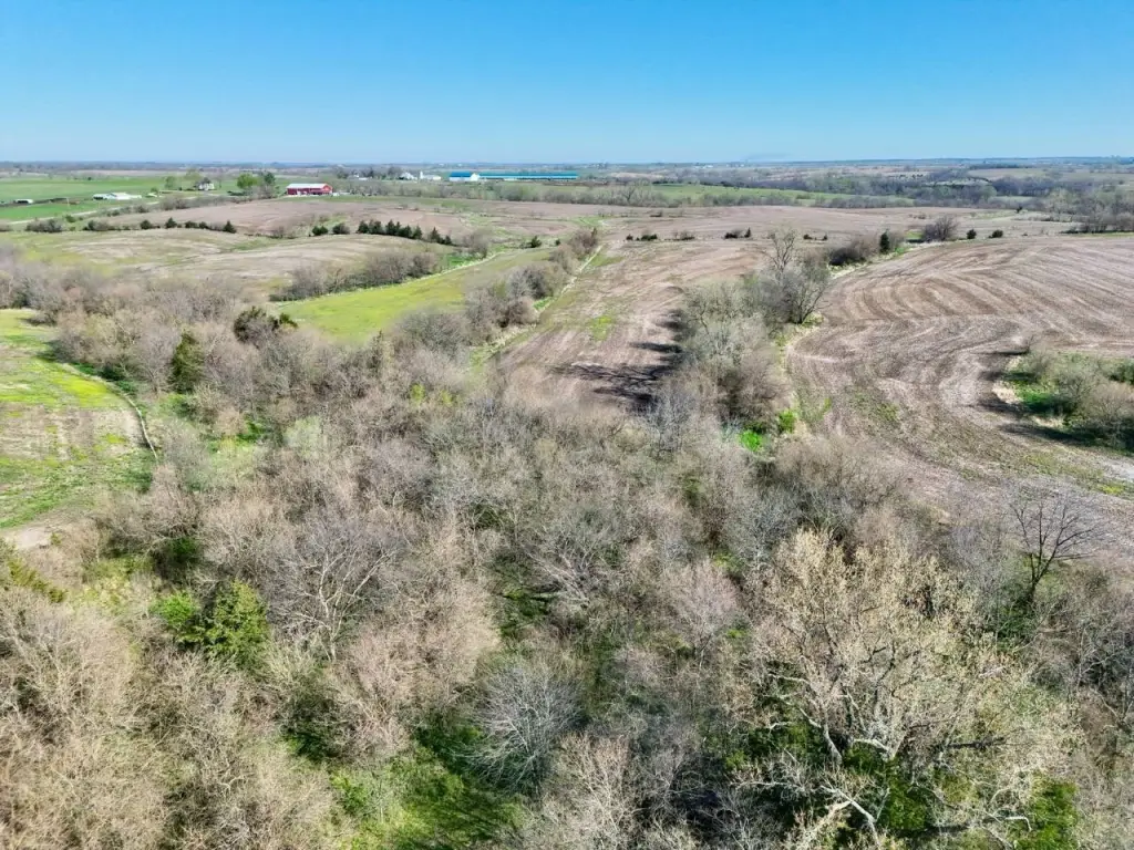
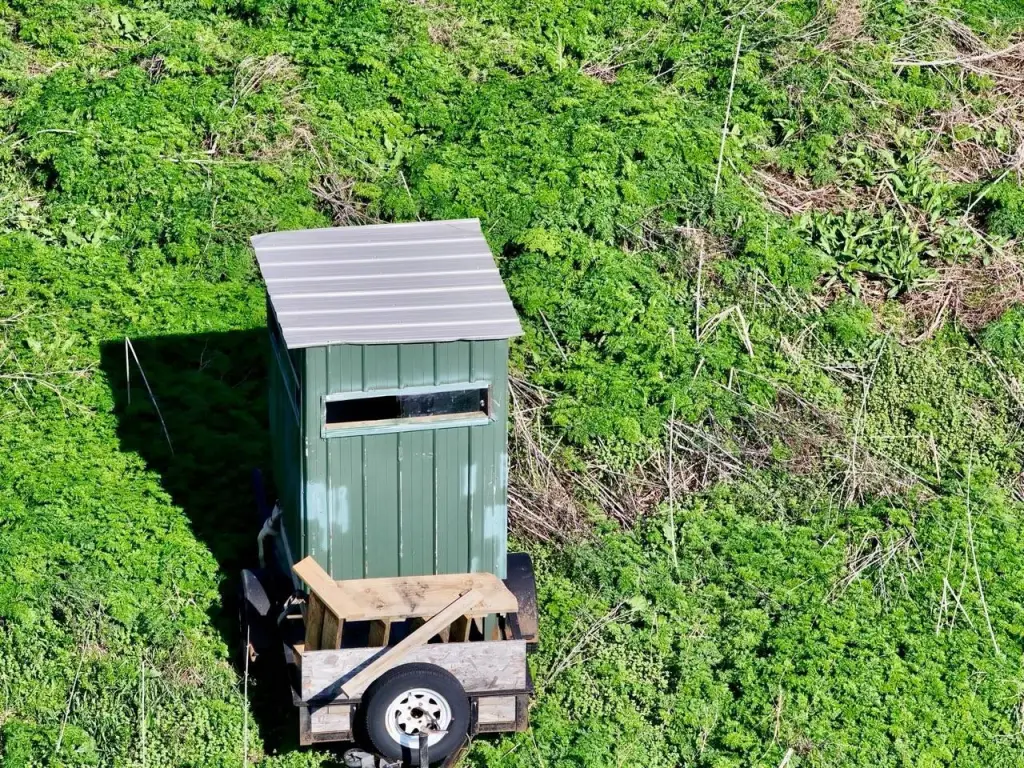
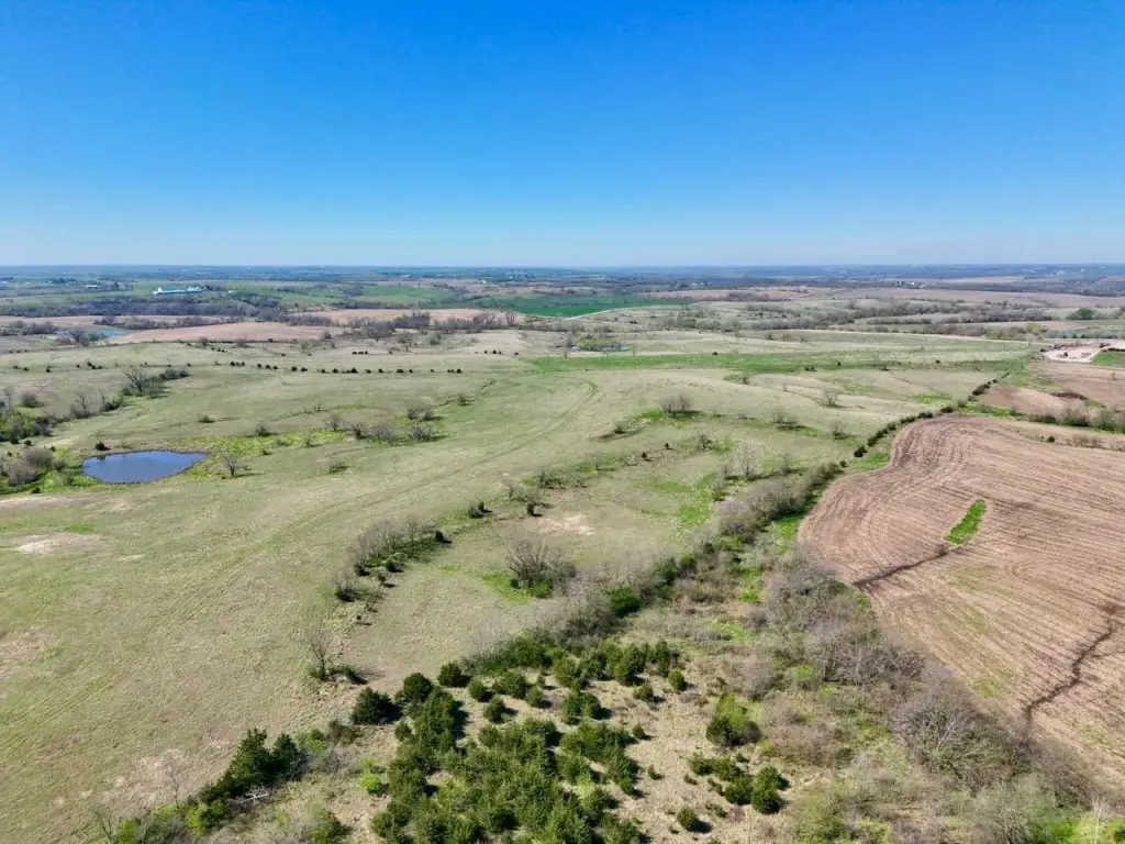
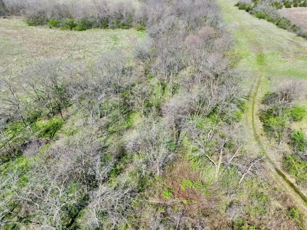
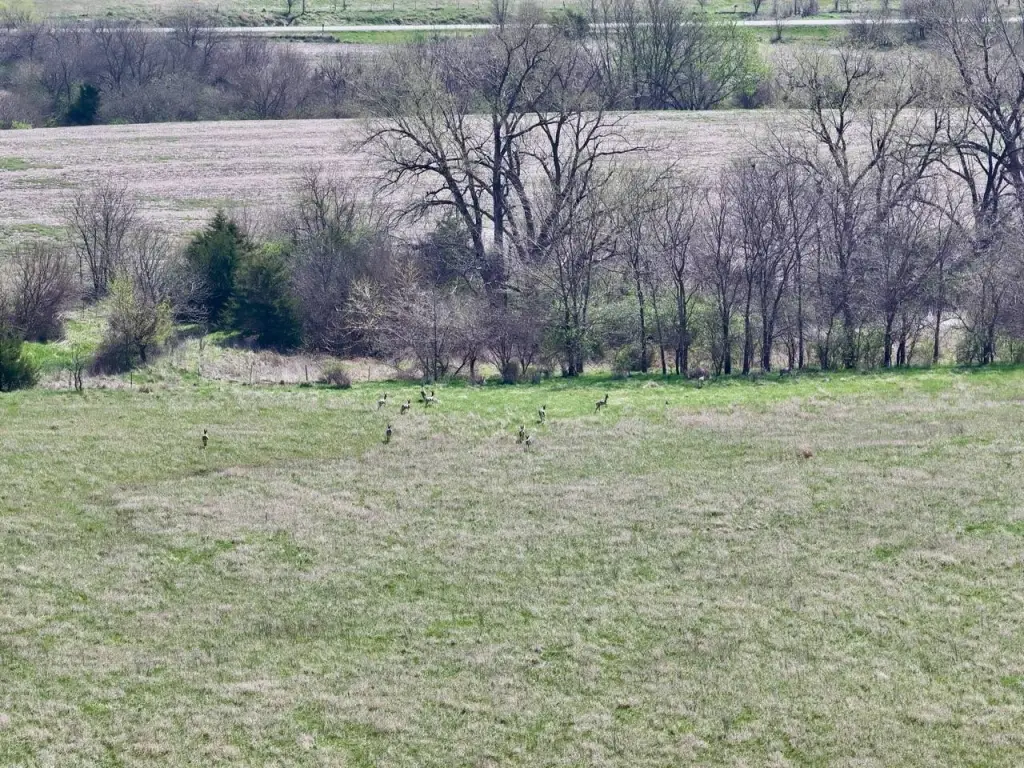
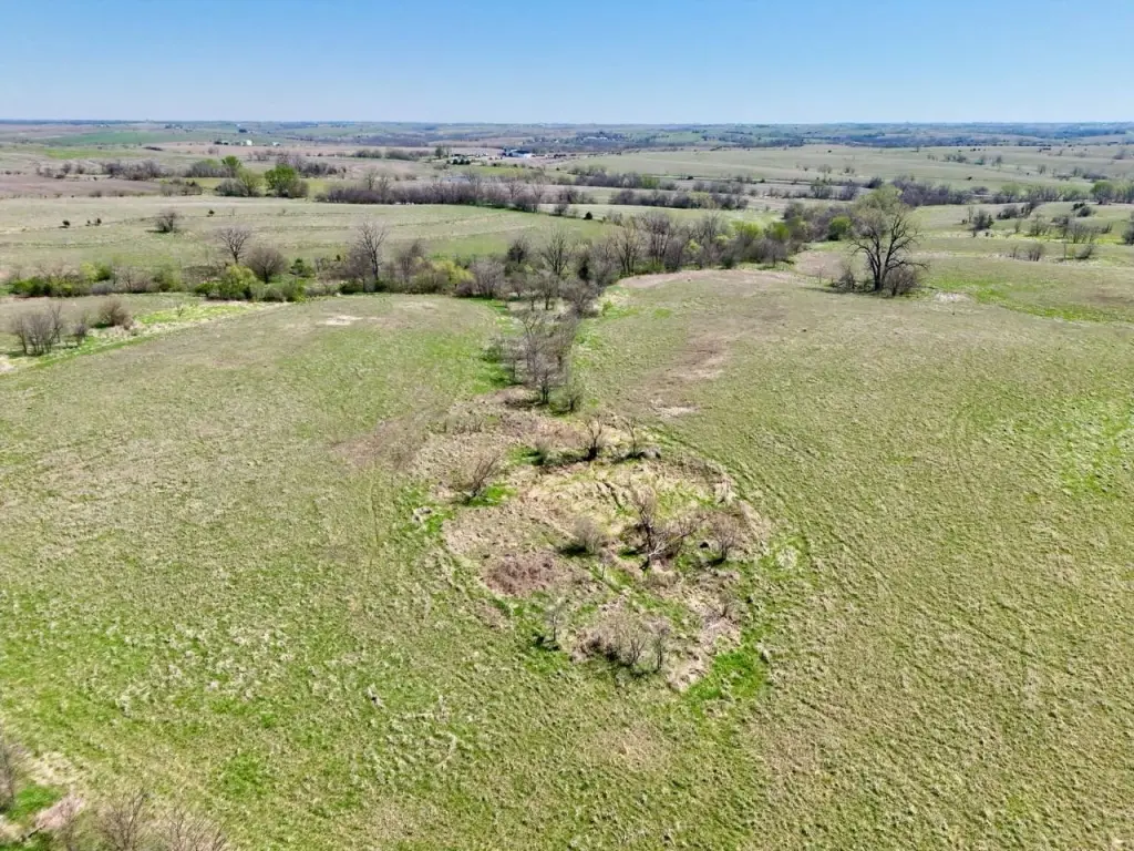
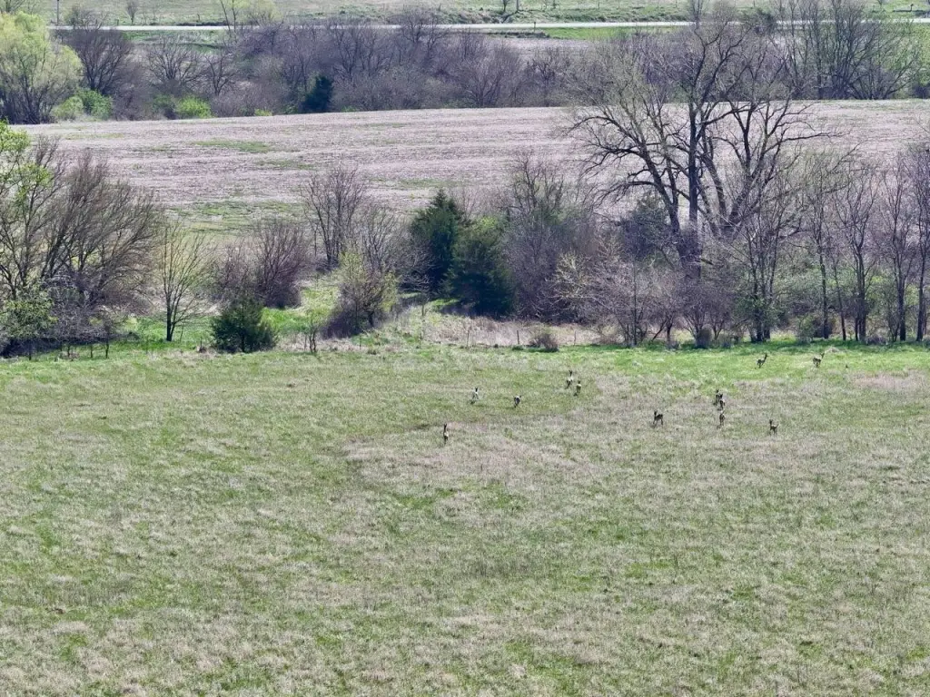
- Excellent recreational opportunities: abundant whitetail deer and turkey populations with diverse habitat
- Established CRP contracts providing dependable annual income
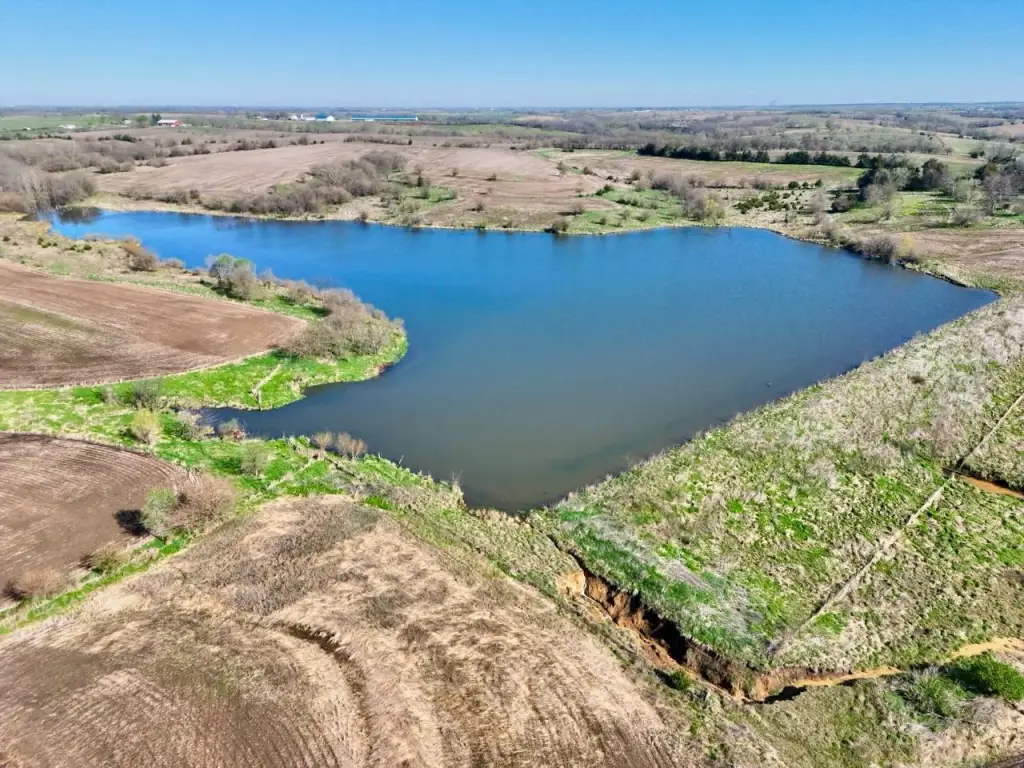
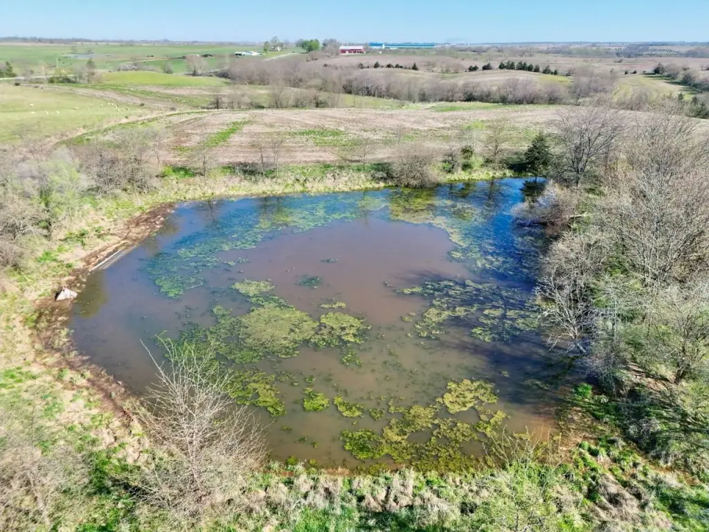
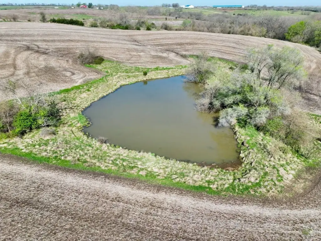
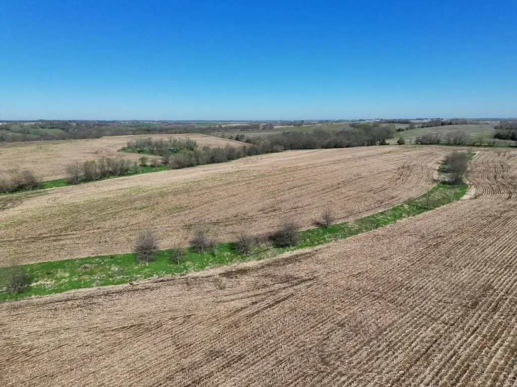
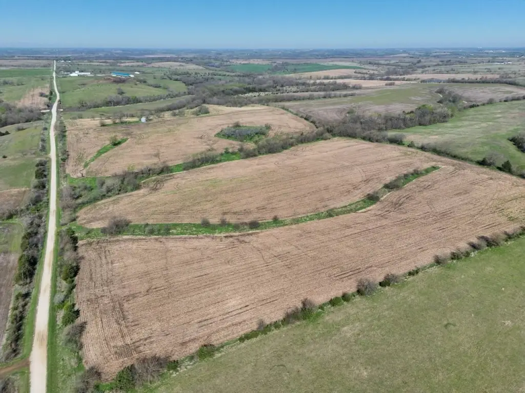
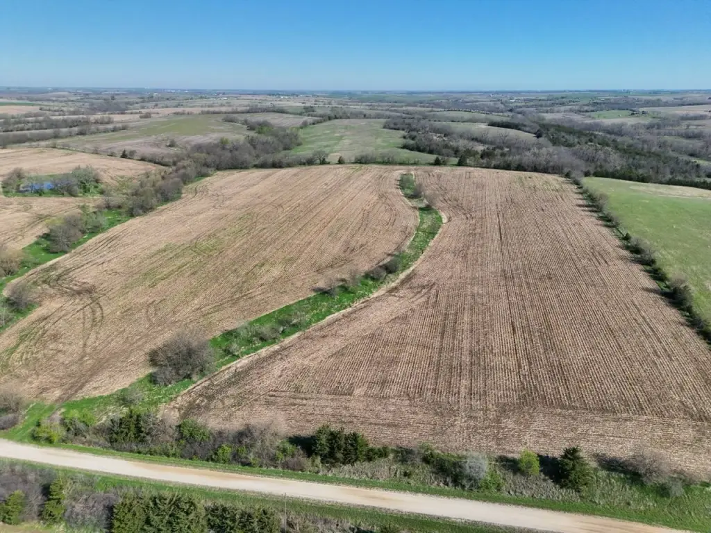
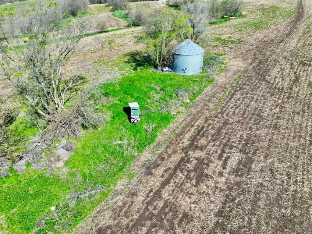
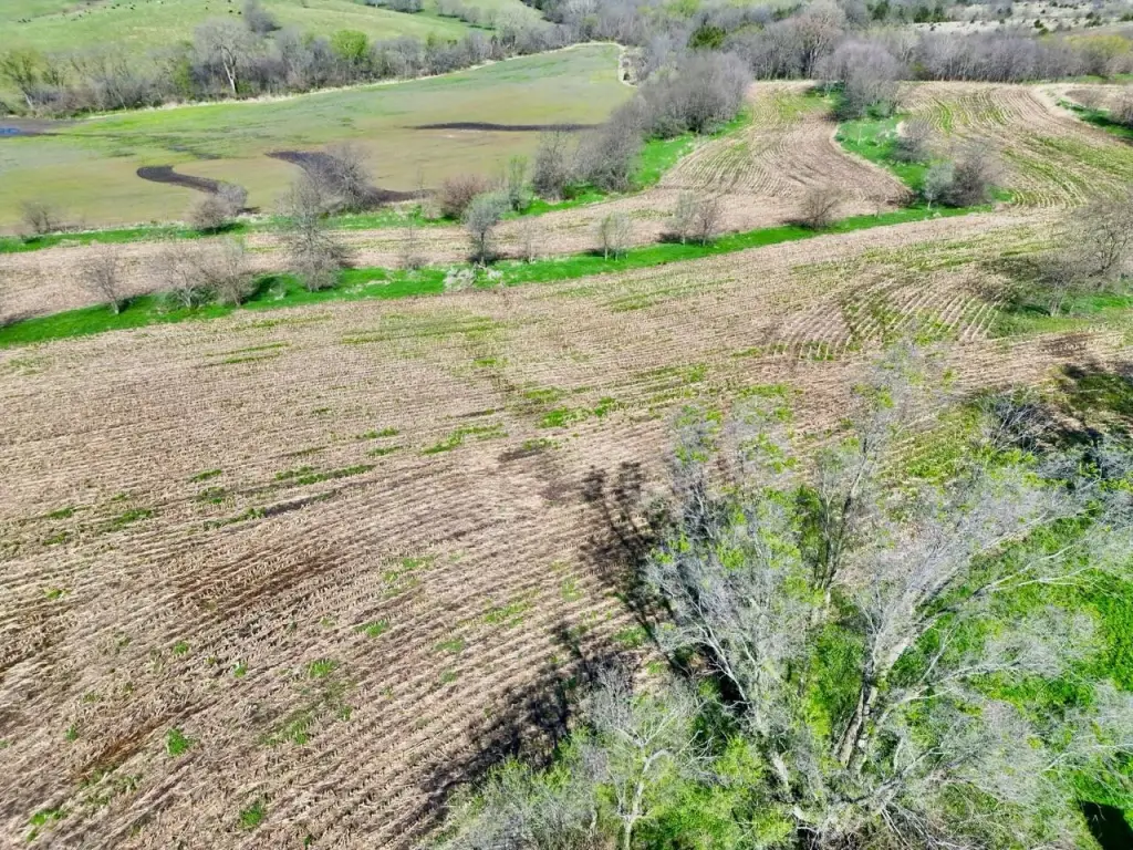
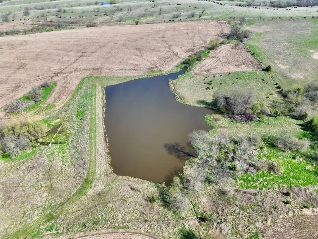
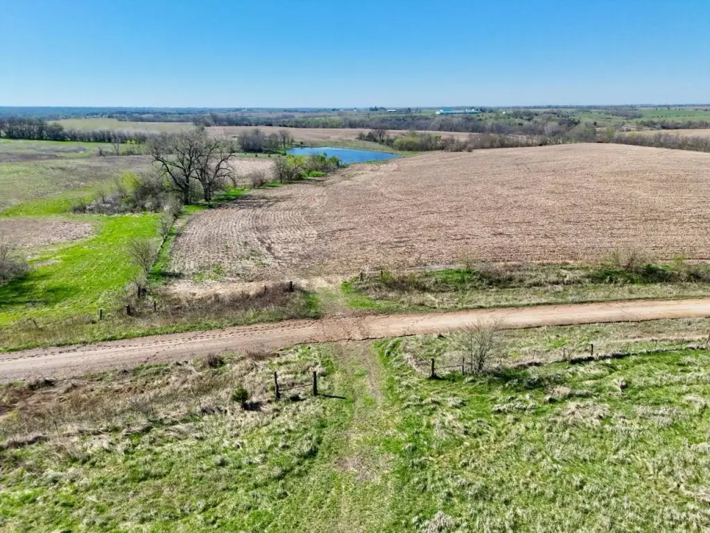
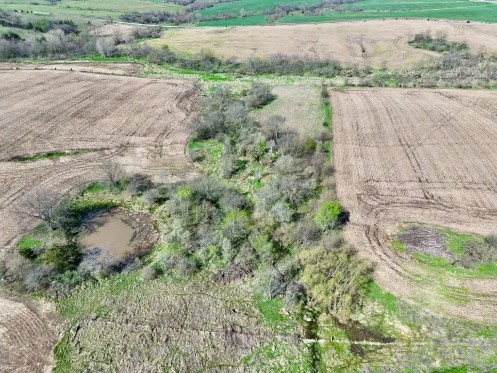
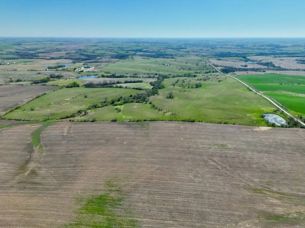
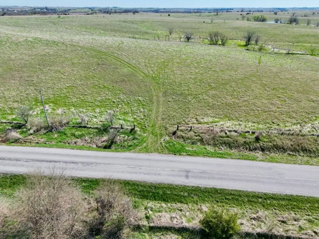
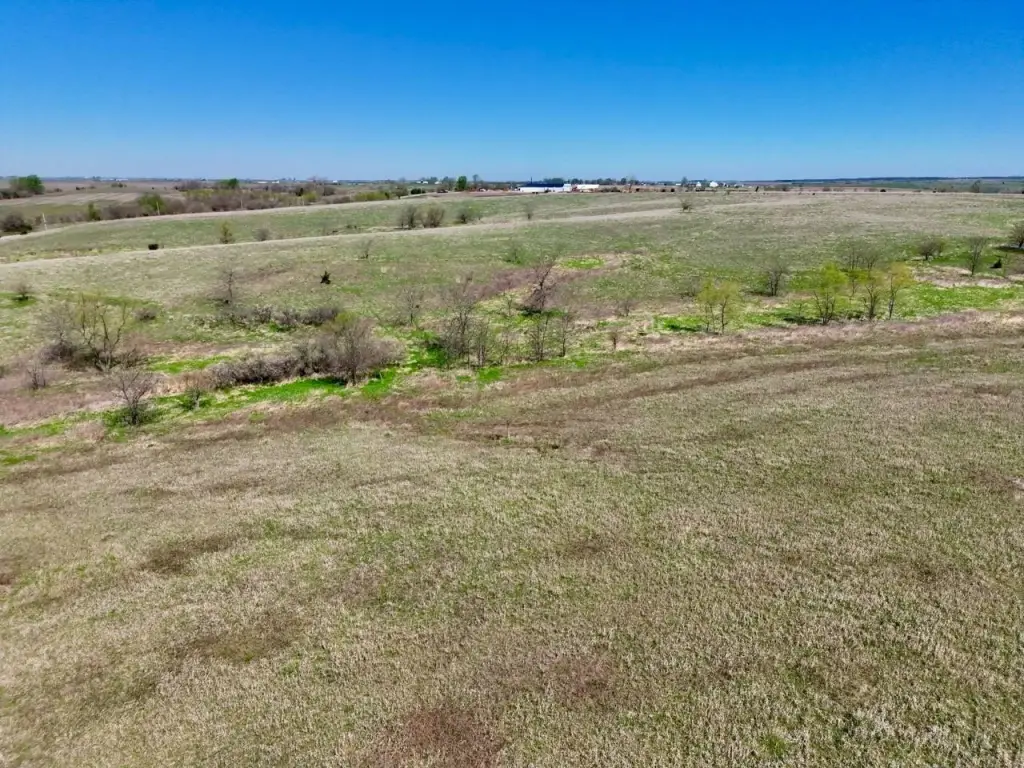
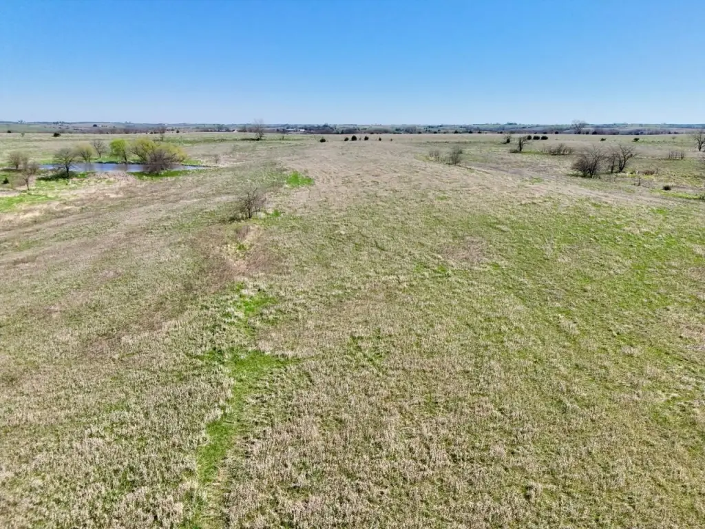
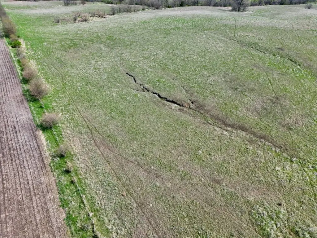
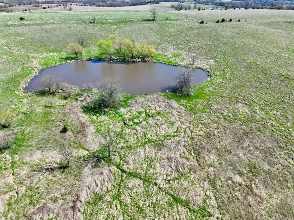
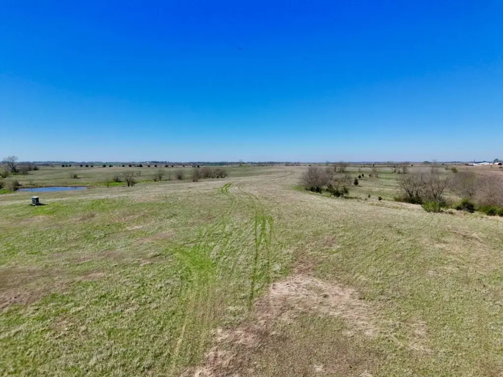
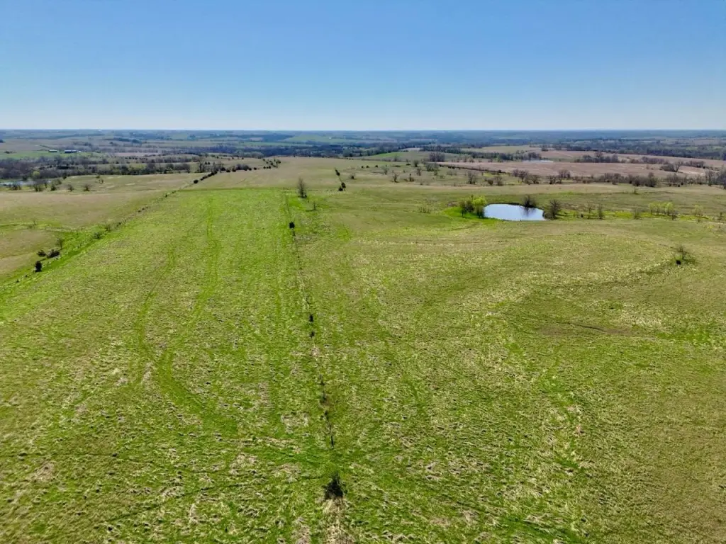
- Diverse mix of tillable land, timber, pasture, and multiple ponds
- Potential for future resale, division, or multi‑generational ownership
Overview
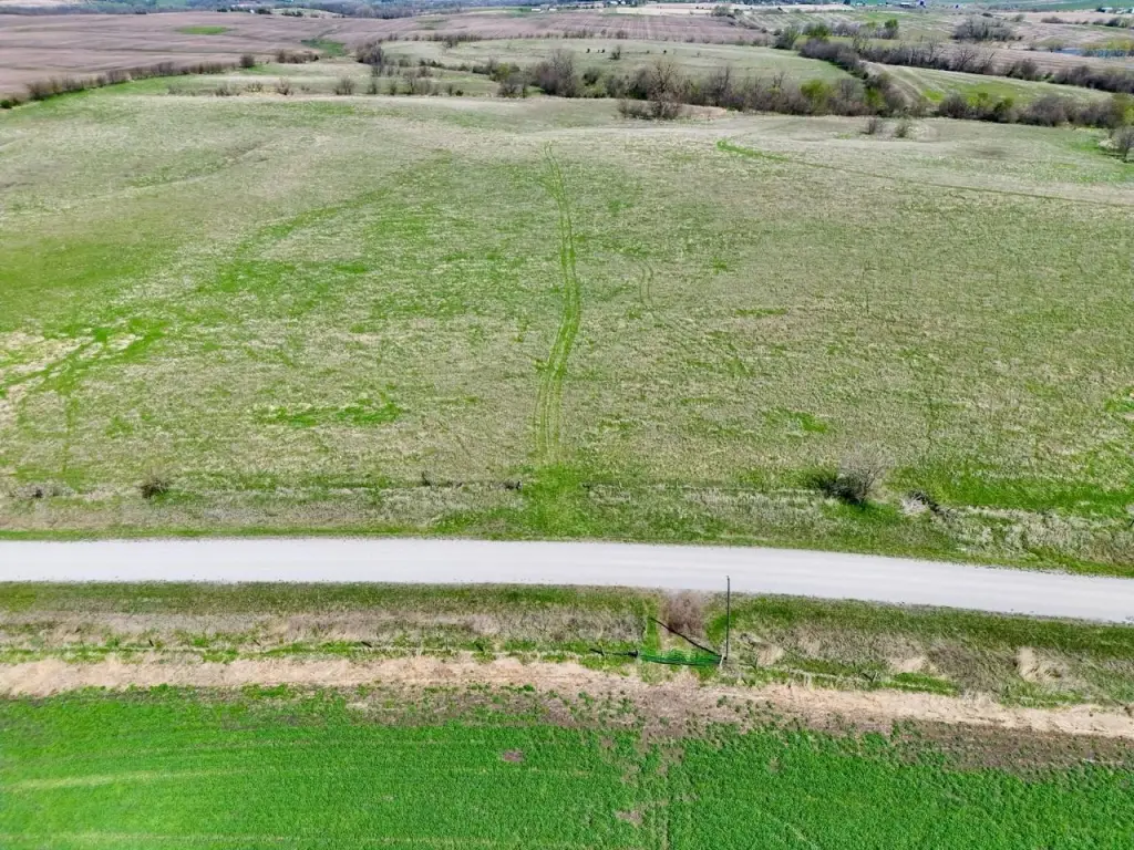
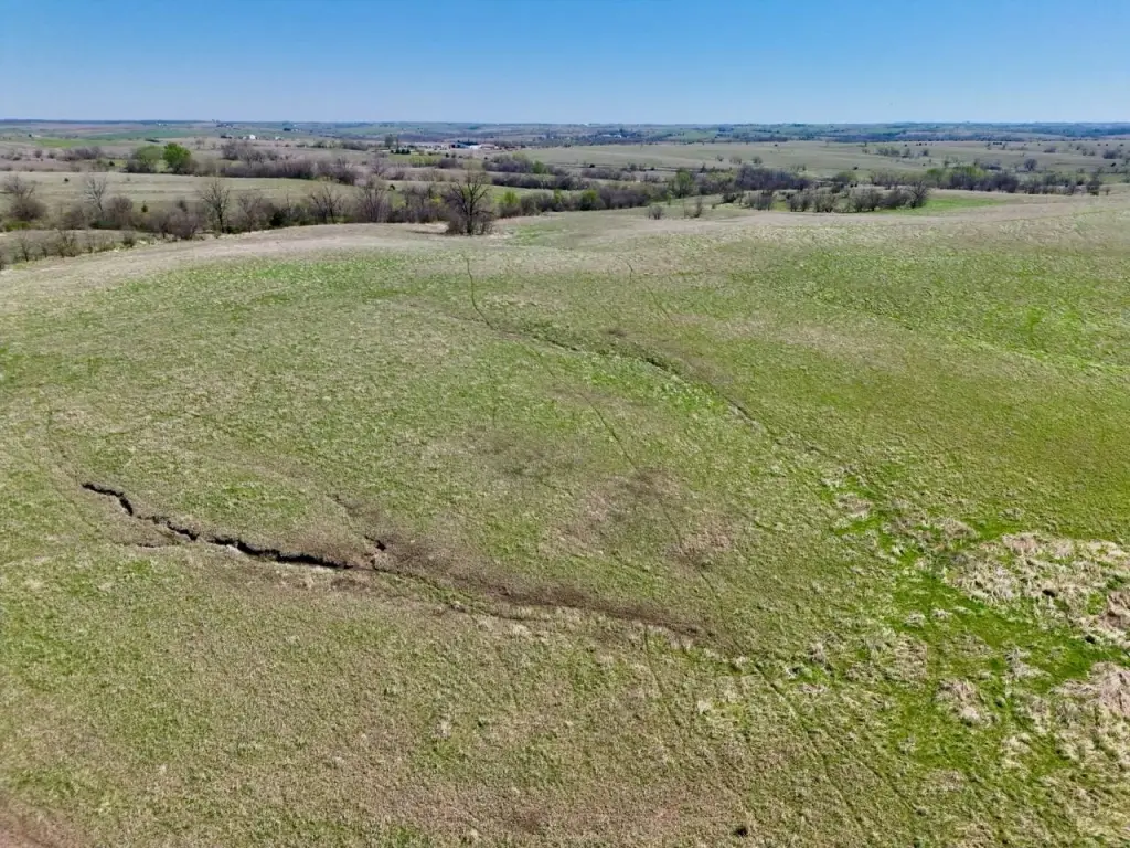
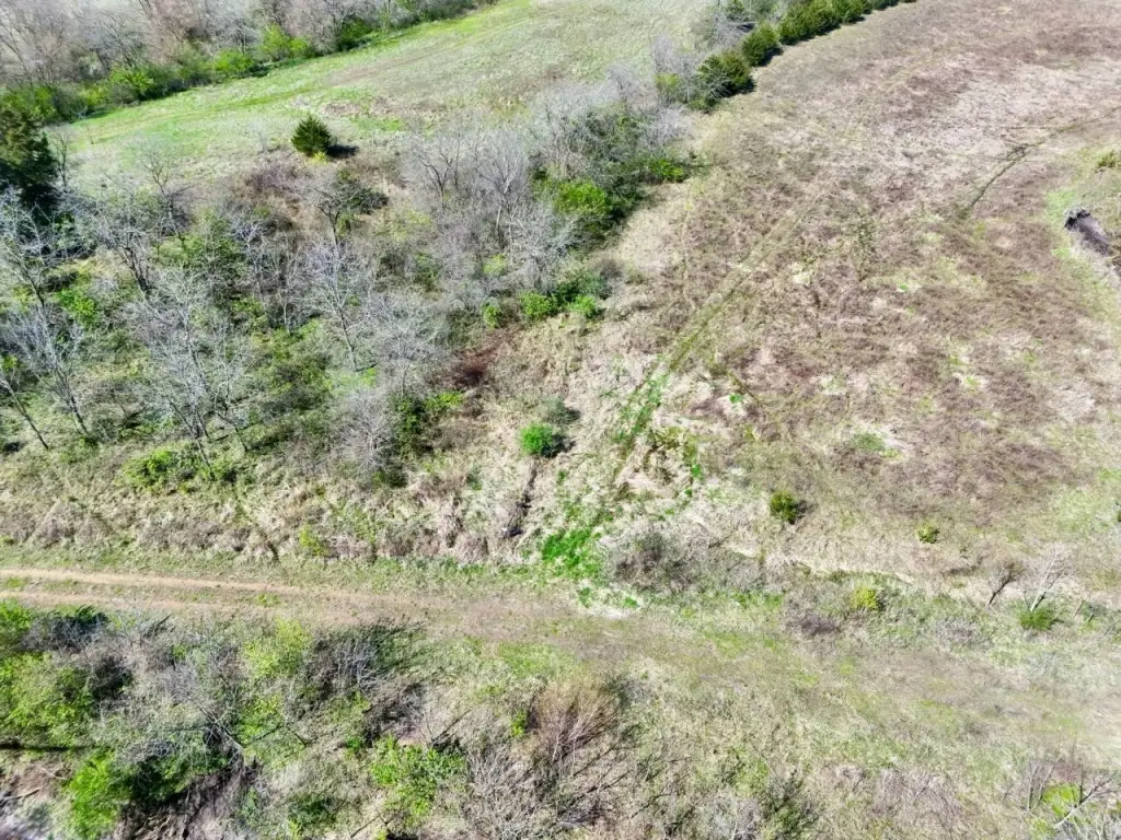
The listing is located in Rice Township, Ringgold County, Iowa, with an address noted as TBD Hwy 169, Redding, IA 50860. The property’s internal layout is intended to support both farming practicality and recreational use, including the presence of draws and edges that can be used for hunting.
For buyers seeking flexible ownership goals, the three-trac t structure supports different combinations of row crop, pasture, timber, and CRP. The stated cover diversity, forage and water sources, and rolling configuration are designed to support wildlife use, including whitetail deer and turkey. With certified cropland and CRP income components alongside timber, pasture, and ponds, this property can fit buyers who want a single larger landholding that supports both income-producing agriculture and on-site recreation.
Current Use by Public Records
Map
- City
- Redding
- County
- Ringgold
- State
- Iowa
- Longitude
- -94.326846
- Latitude
- 40.626395


