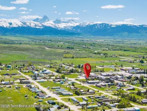
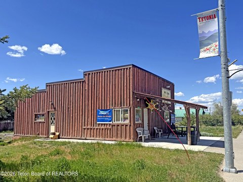
PARCEL 9 NEVILLE SPRINGS RD, Tetonia, ID 83452
- Added:
- Jun 15, 2026
- Days on Market:
- 5
- Last Refresh:
- Jun 19 at 7:06 am
Property Features for PARCEL 9 NEVILLE SPRINGS RD
General Information
- Property type
- Land
- Property subtype
- Other
- Standard status
- Pending
- APN
- RP06N43E252405
- Lot size
- 88.00 Acres
Taxes and HOA fees
- Tax Year
- 25
- Tax Annual Amount
- 184
Utilities
- Sewer type
- Septic Needed
- Water source
- Well
Listing agent LiveJacksonHole Livejacksonhole (307) 690-8855
Listing office Compass Real Estate PO Box 4897, Jackson, ID (307) 733-6060
Listing date Jun 15, 2026
Copyright © 2026 Teton Board of REALTORS®. All rights reserved. All information provided by the listing agent/broker is deemed reliable but is not guaranteed and should be independently verified.
HighLights
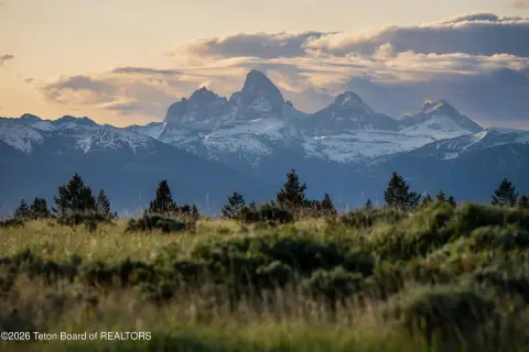
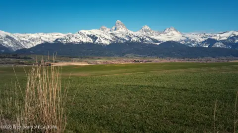
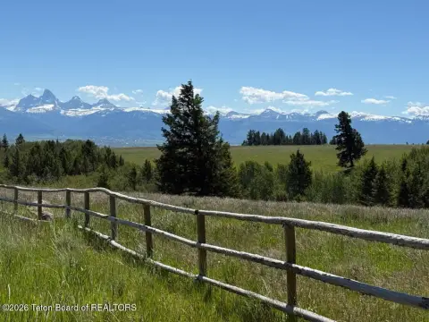
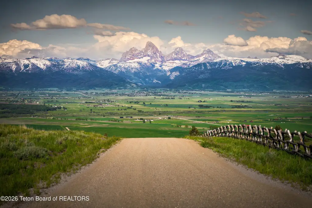
- Wilder Ranch is a 3,250‑acre luxury ranch development at the base of the Big Hole Mountains.
- Only 30 ranches are planned, averaging approximately 100 acres each.
- The development backs up to Caribou‑Targhee National Forest.
- On‑site recreation includes a sporting clay course and a 5‑stand shooting trap range.
- Common area amenities are available, with on‑site management and a Ranch Concierge for ranch owners.
- Water source: well; sewer: septic needed.
Overview
The property is located within Tetonia, Idaho, in Teton County, with the parcel identified as Parcel 9 on Neville Springs Road. The Wilder Ranch concept is centered on the surrounding mountain setting and forest adjacency, with the development positioned to capture views of the Teton Range and additional mountain ranges described in the public remarks.
For prospective buyers looking for ranch land in a managed, amenity-based community, this parcel offers a standalone acreage within the Wilder Ranch framework, including access to shared sporting facilities that are already in operation. The combination of forest backing, planned on-site management, and concierge-style services may align well with owners seeking a remote, low-density ranch setting with organized on-site support.
Current Use by Public Records
Map
- City
- Tetonia
- County
- Teton
- State
- Idaho
- Longitude
- -111.337763
- Latitude
- 43.821794