NW B Highway, Urich, MO 64788

- Added:
- Dec 18, 2025
- Days on Market:
- 197
- Last Refresh:
- Jul 3 at 4:06 am
Property Features for NW B Highway
General Information
- Property type
- Land
- Property subtype
- Other
- Standard status
- Active
- Lot size
- 42.00 Acres
Taxes and HOA fees
- Tax Annual Amount
- 46
Building Details
- Architectural style
- Other
Listing agent Ben Ewbank License #2019013581 (816) 820-2345
Listing office Midwest Land Group 14105 Overbrook RD, Ste D, Lee's Summit, MO (913) 674-8010
Listing date Dec 18, 2025
Copyright © 2026 West Central Association of REALTORS®. All rights reserved. All information provided by the listing agent/broker is deemed reliable but is not guaranteed and should be independently verified.
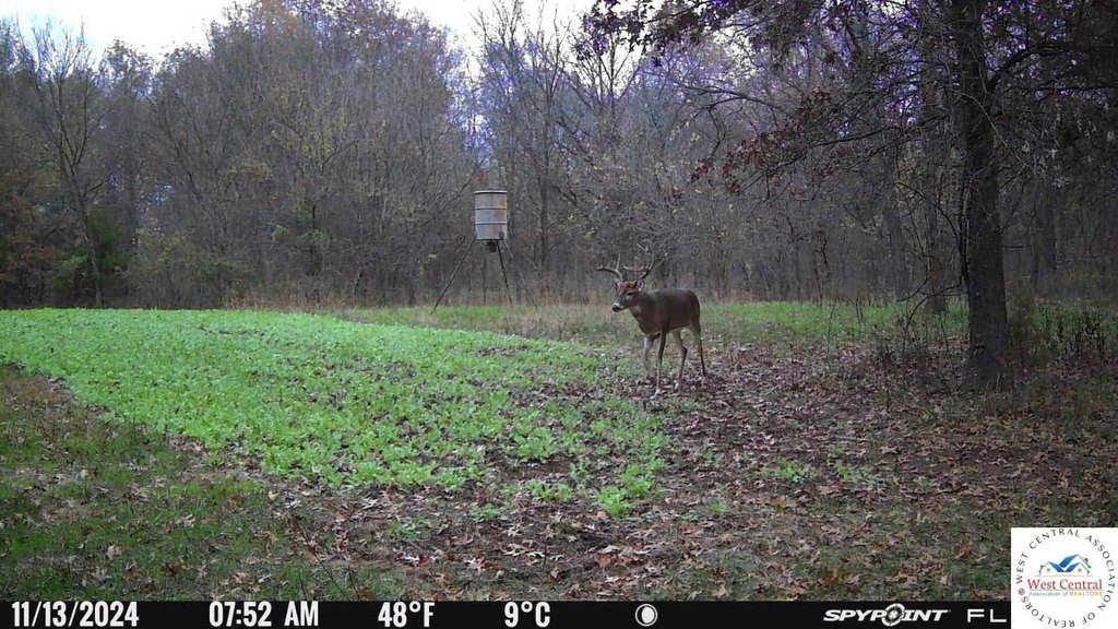
HighLights
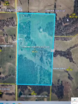
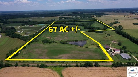
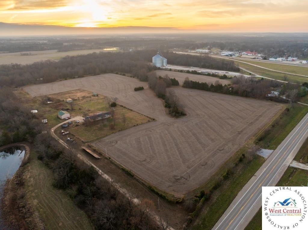
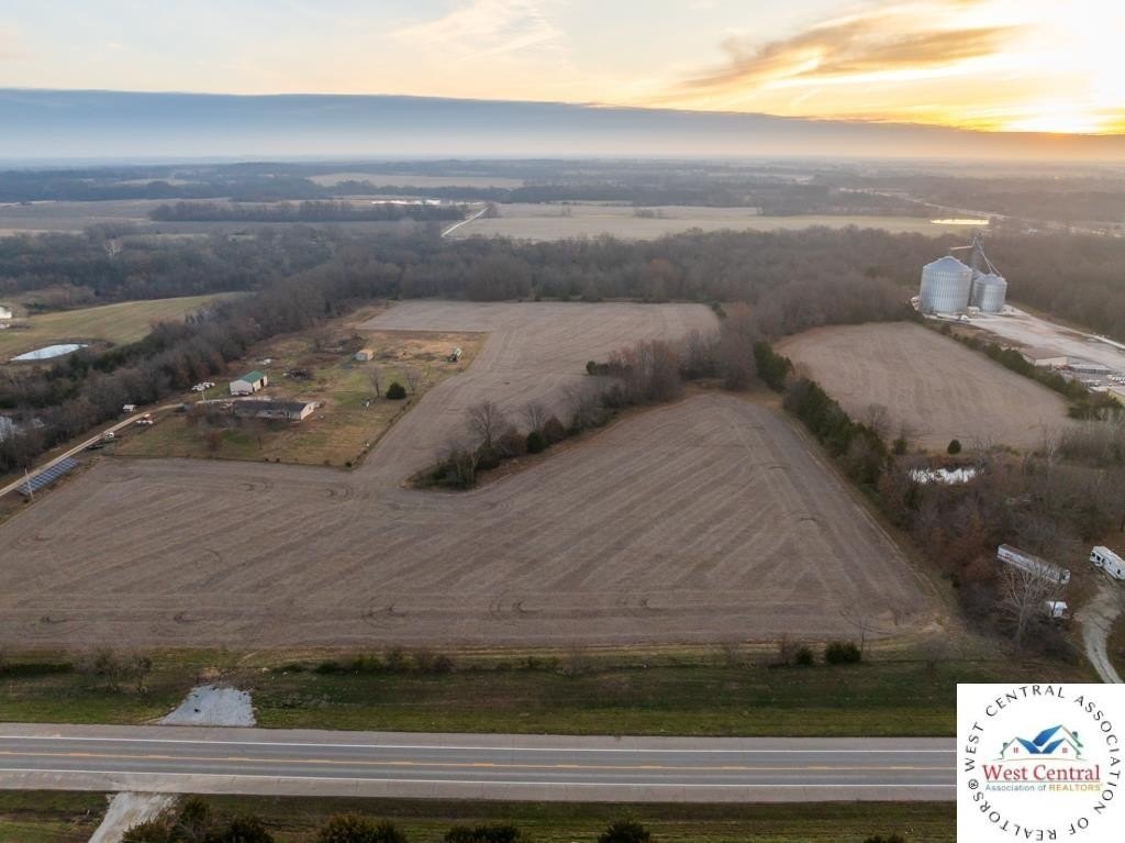
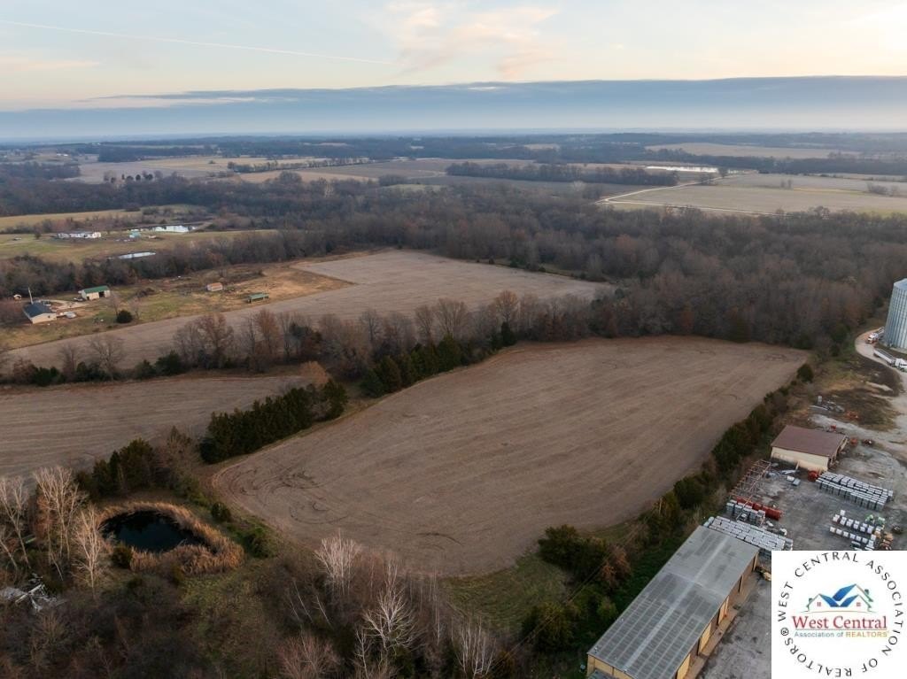
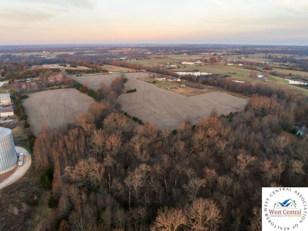
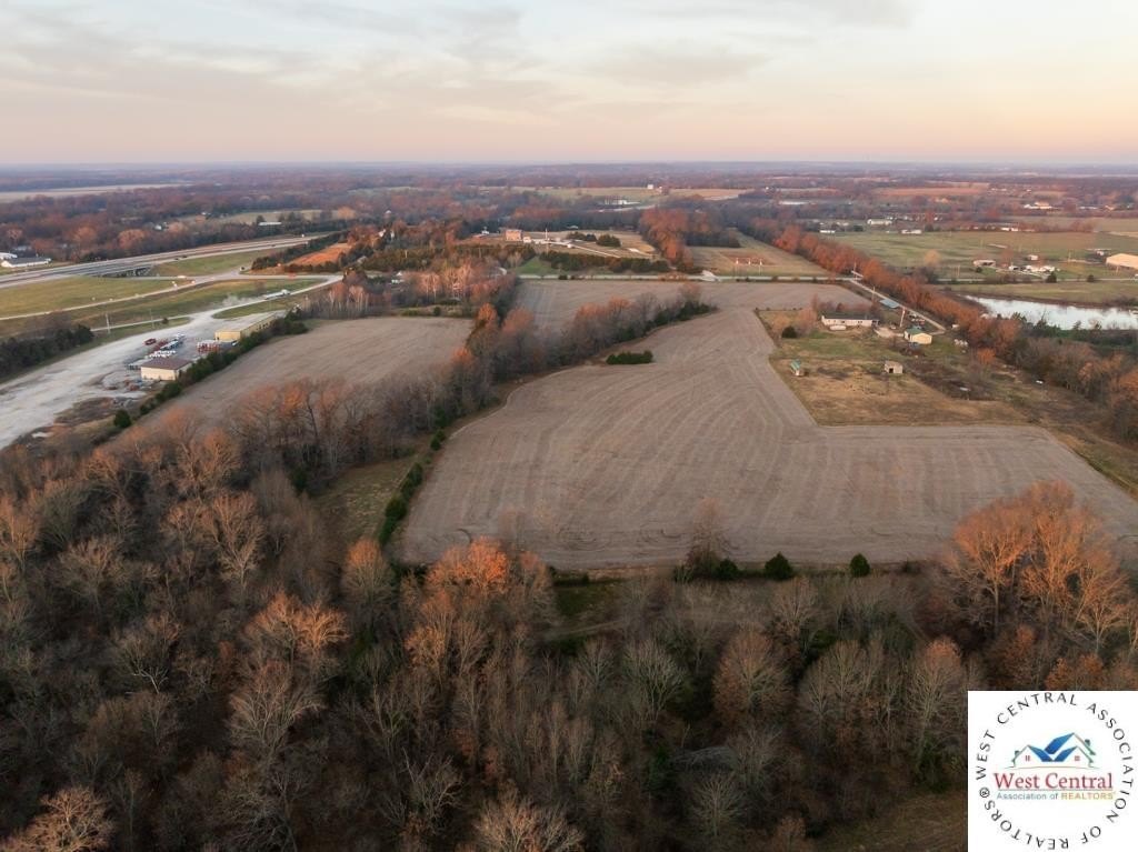
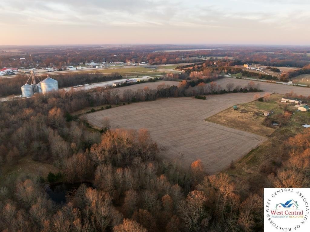
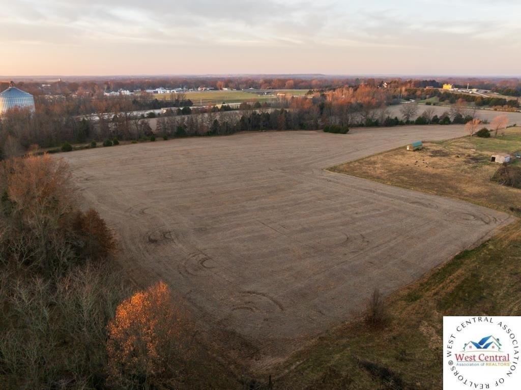
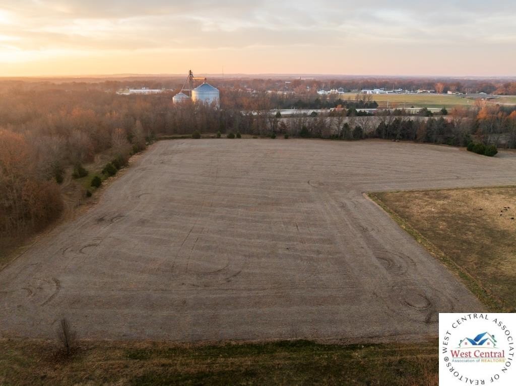
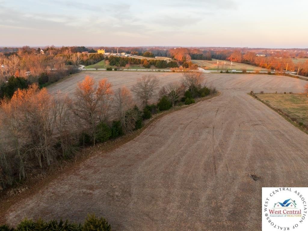
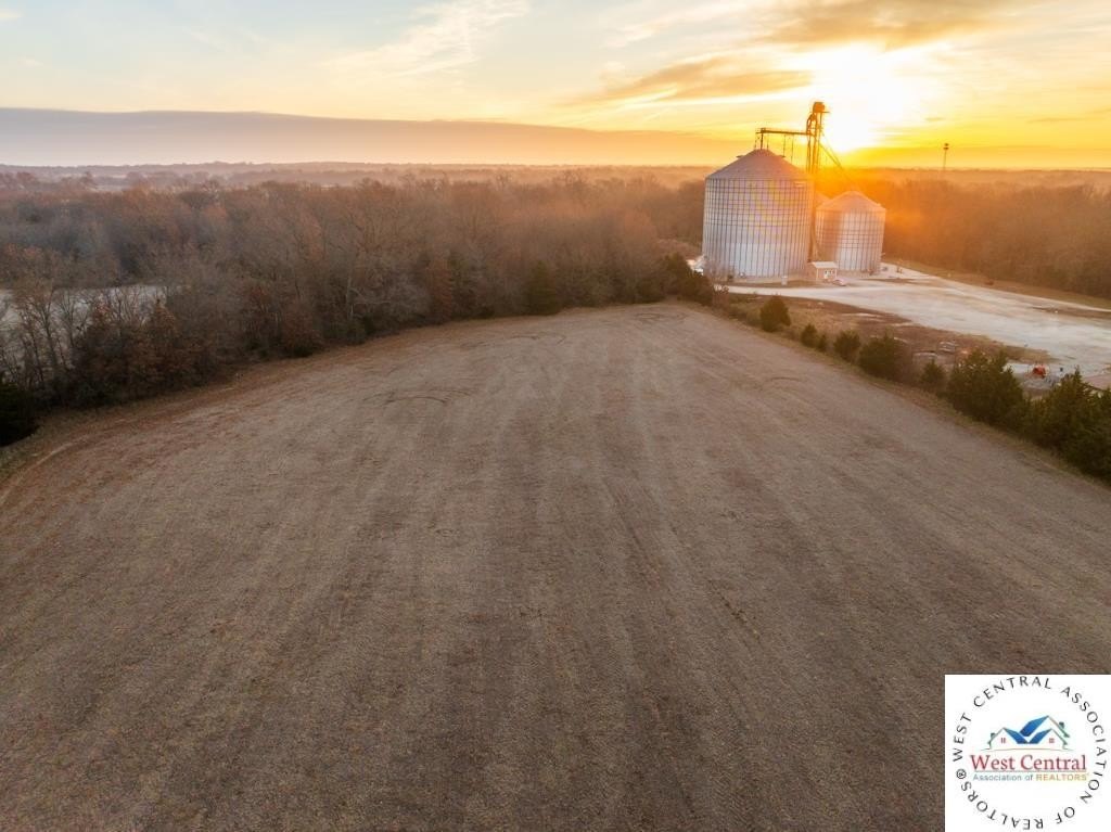
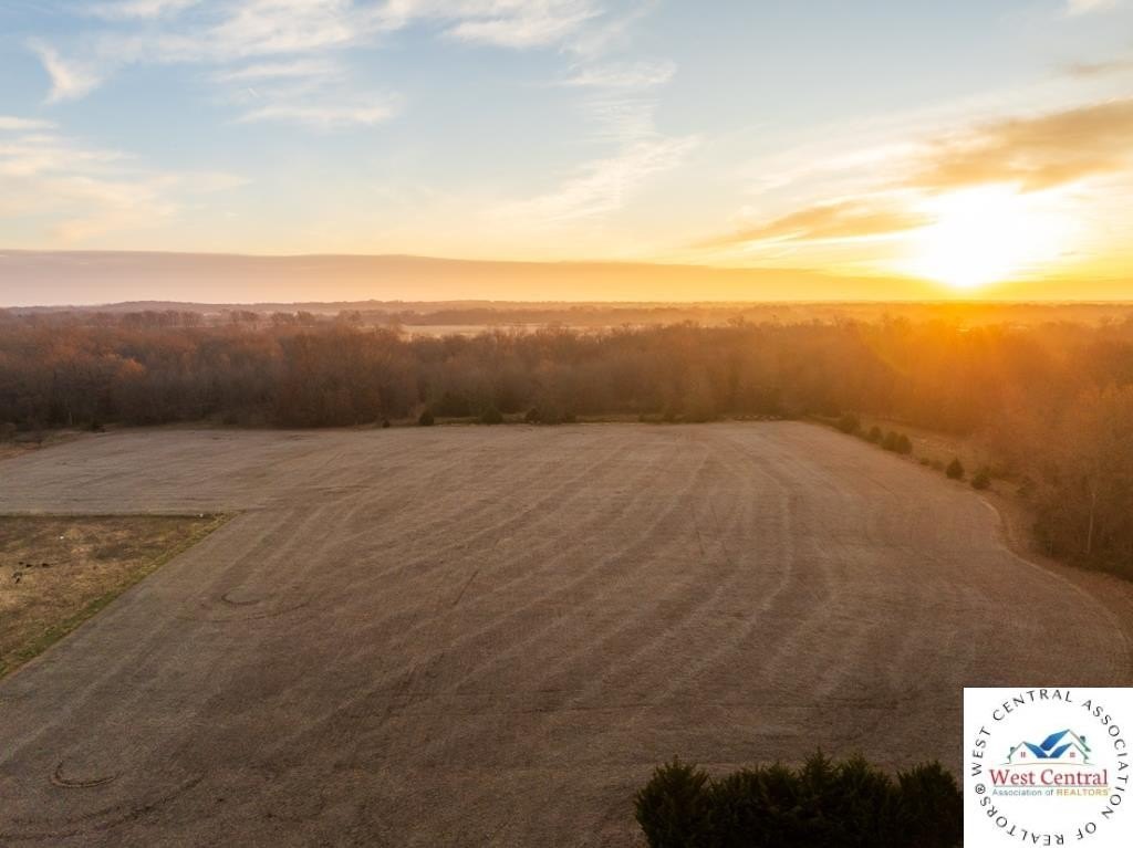
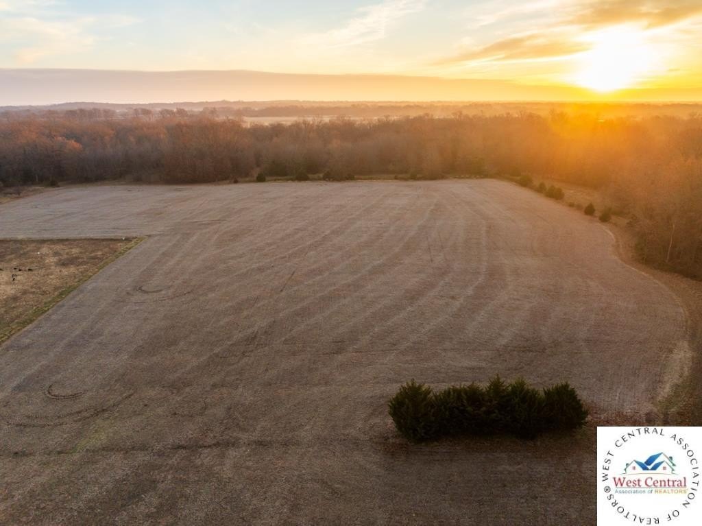
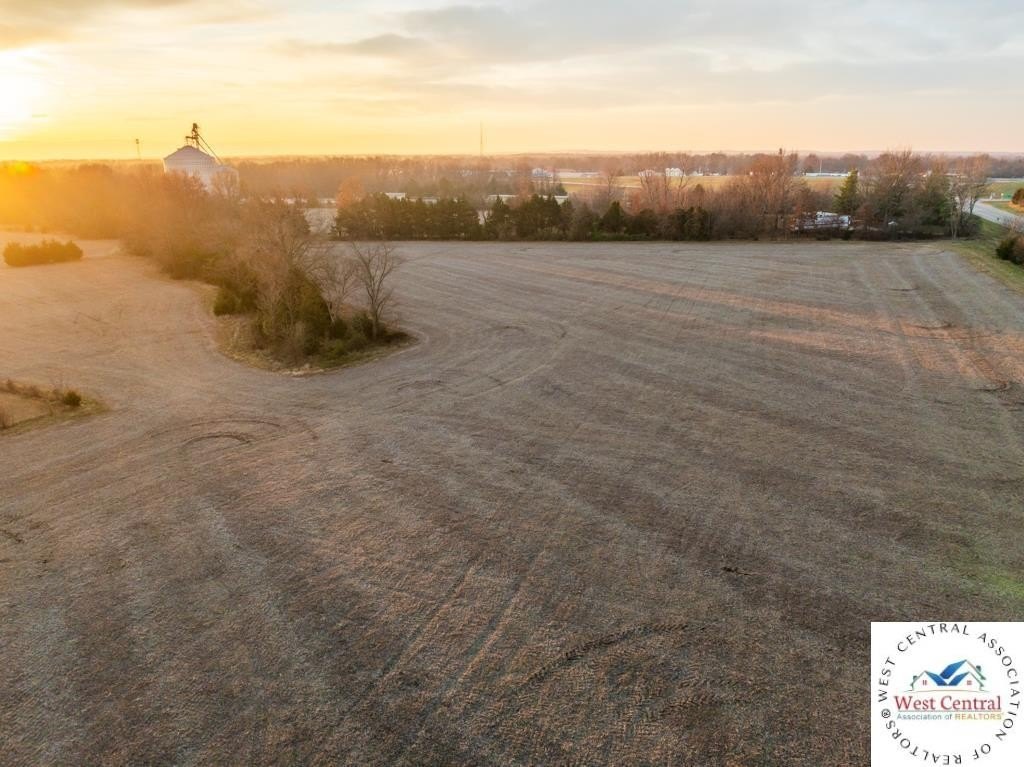
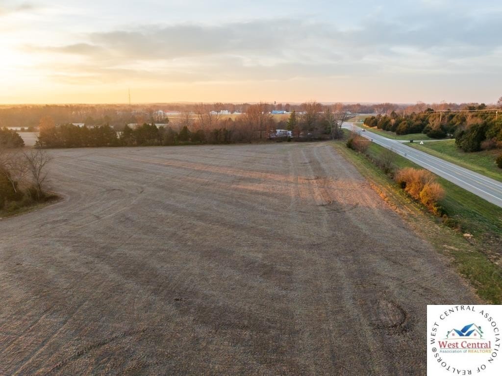
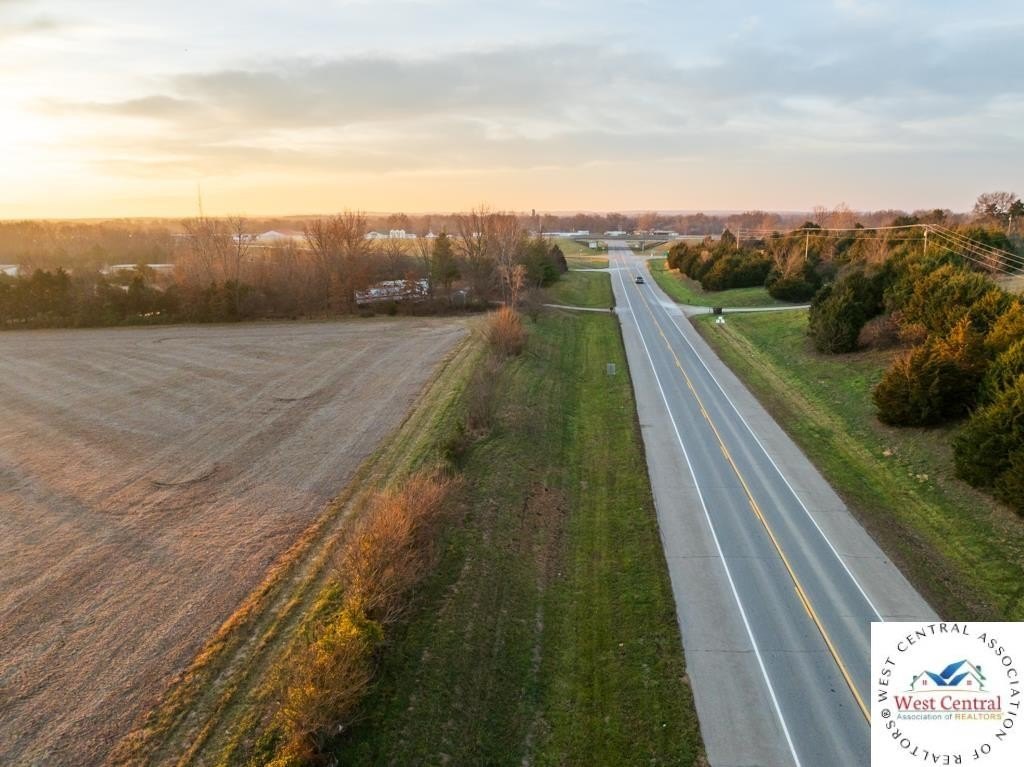
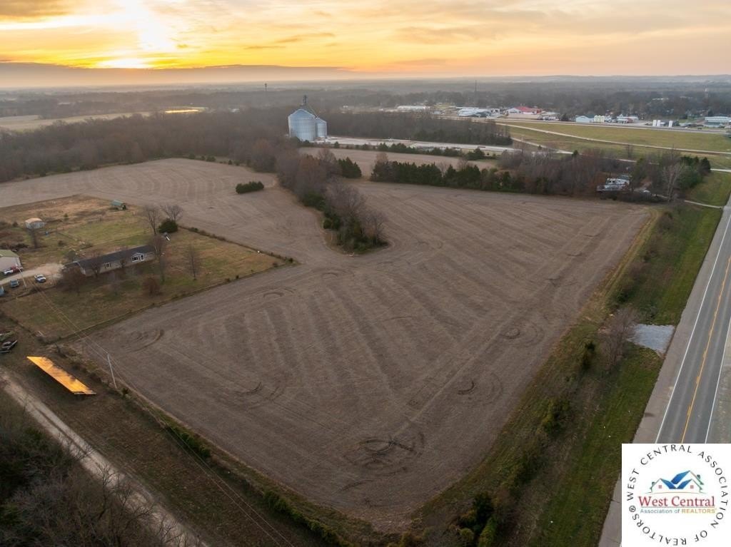
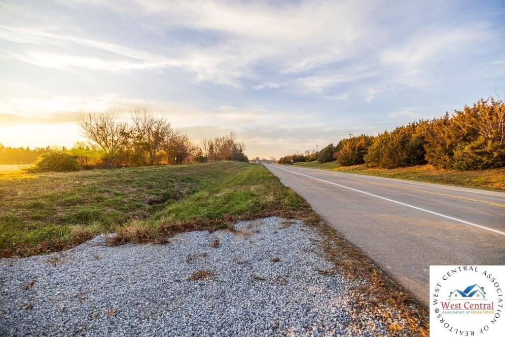
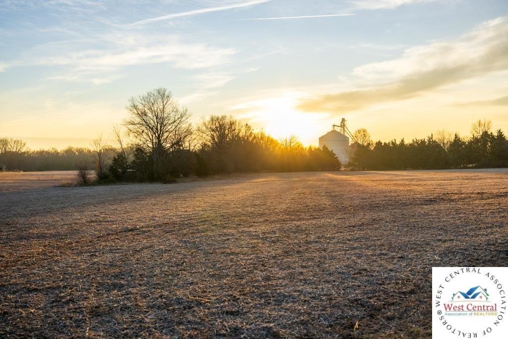
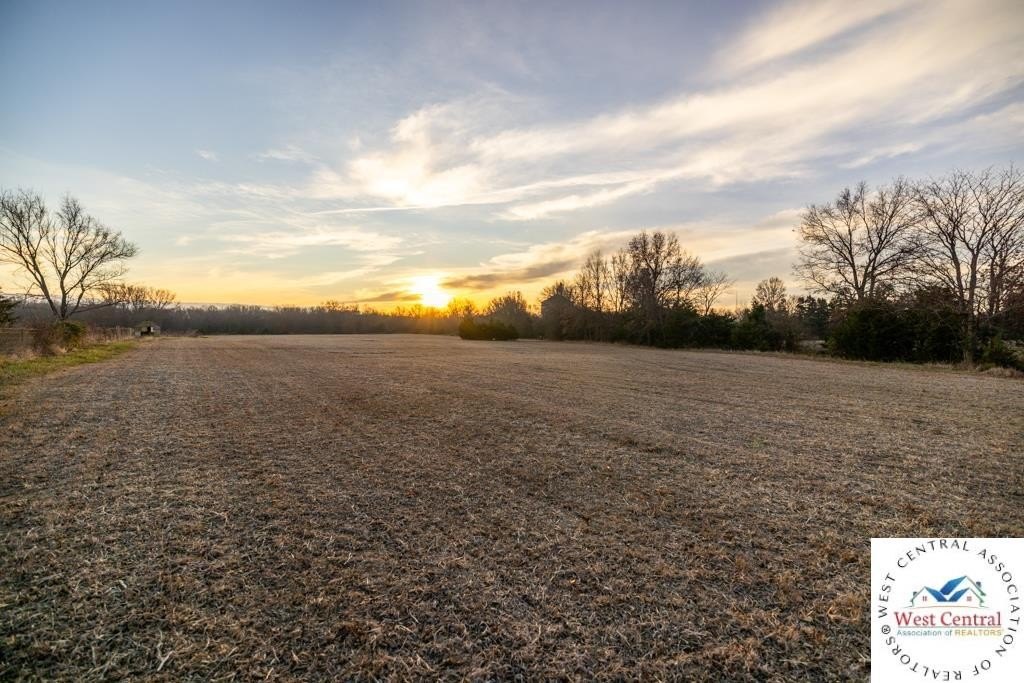
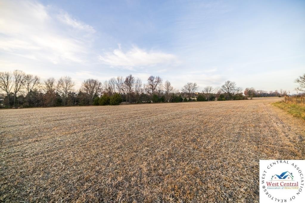
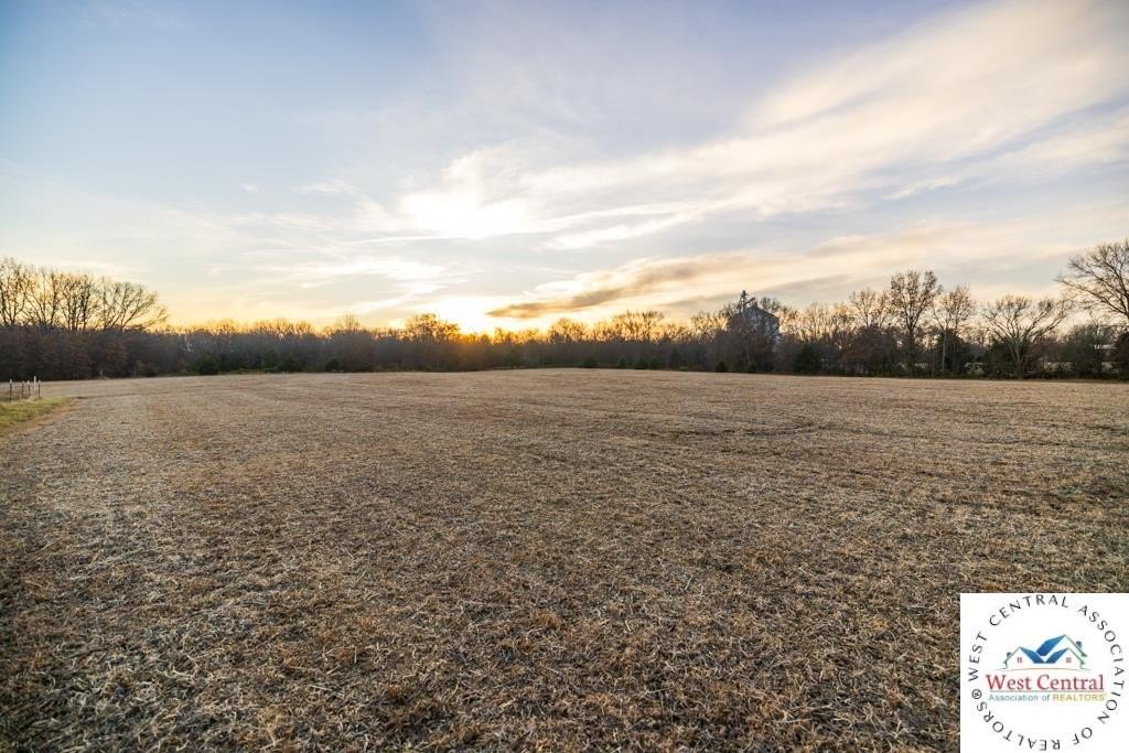
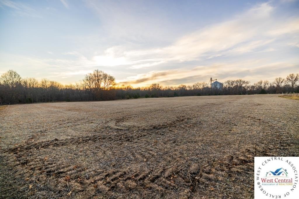
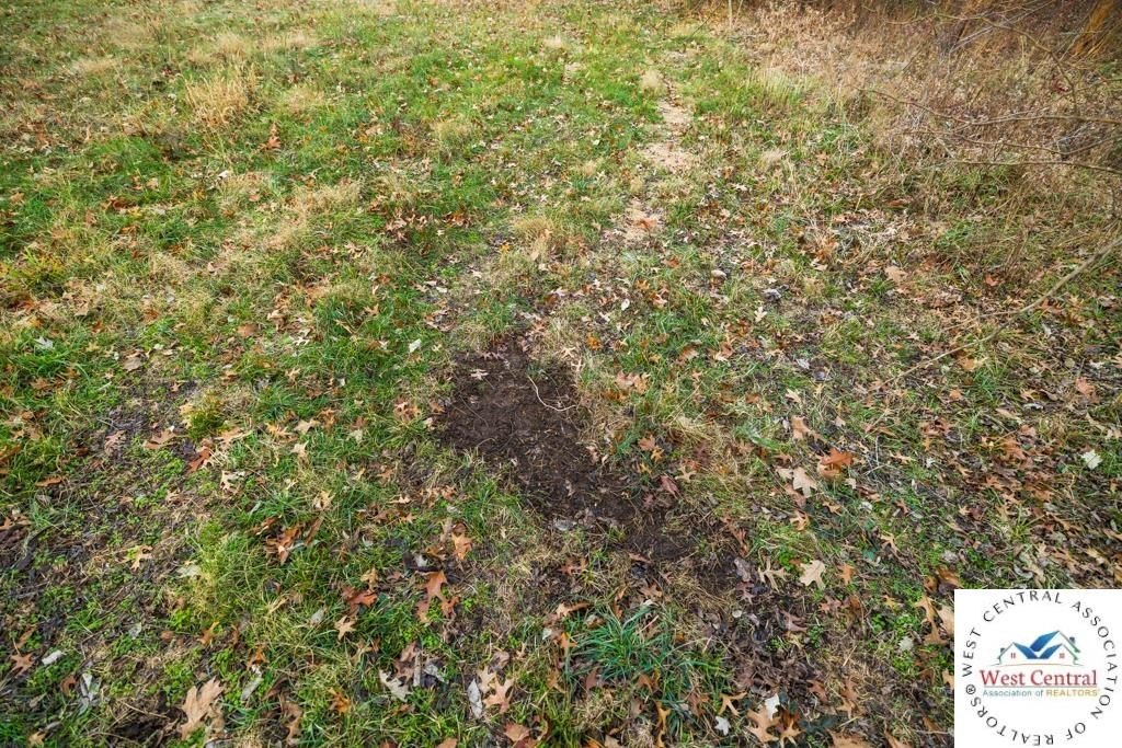
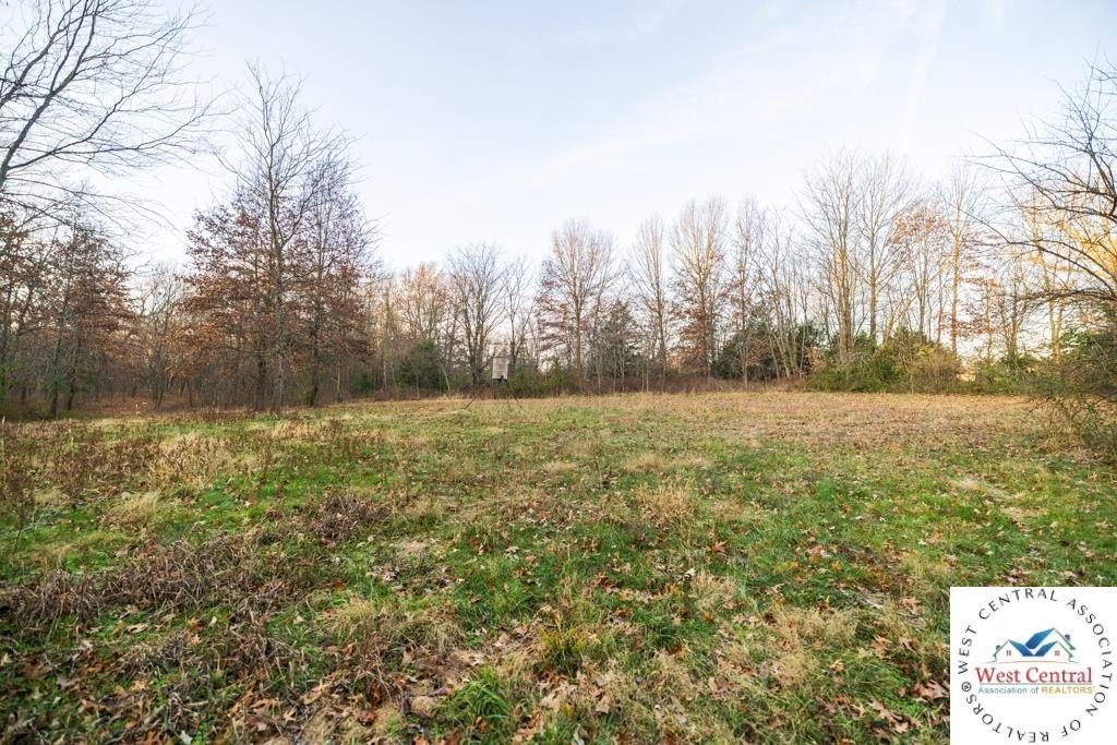
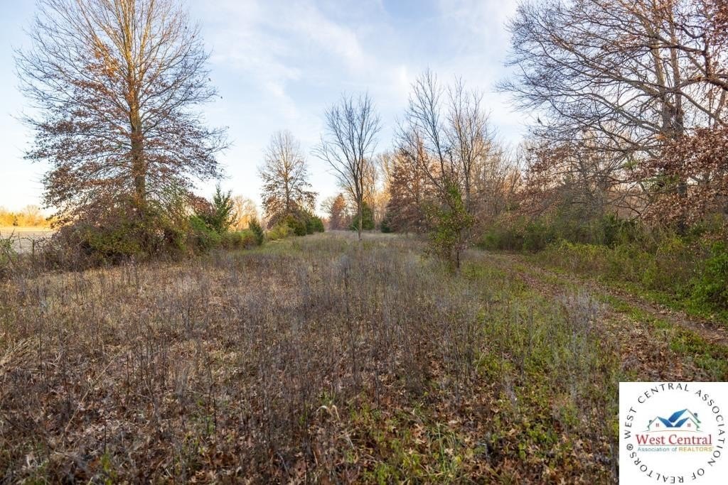
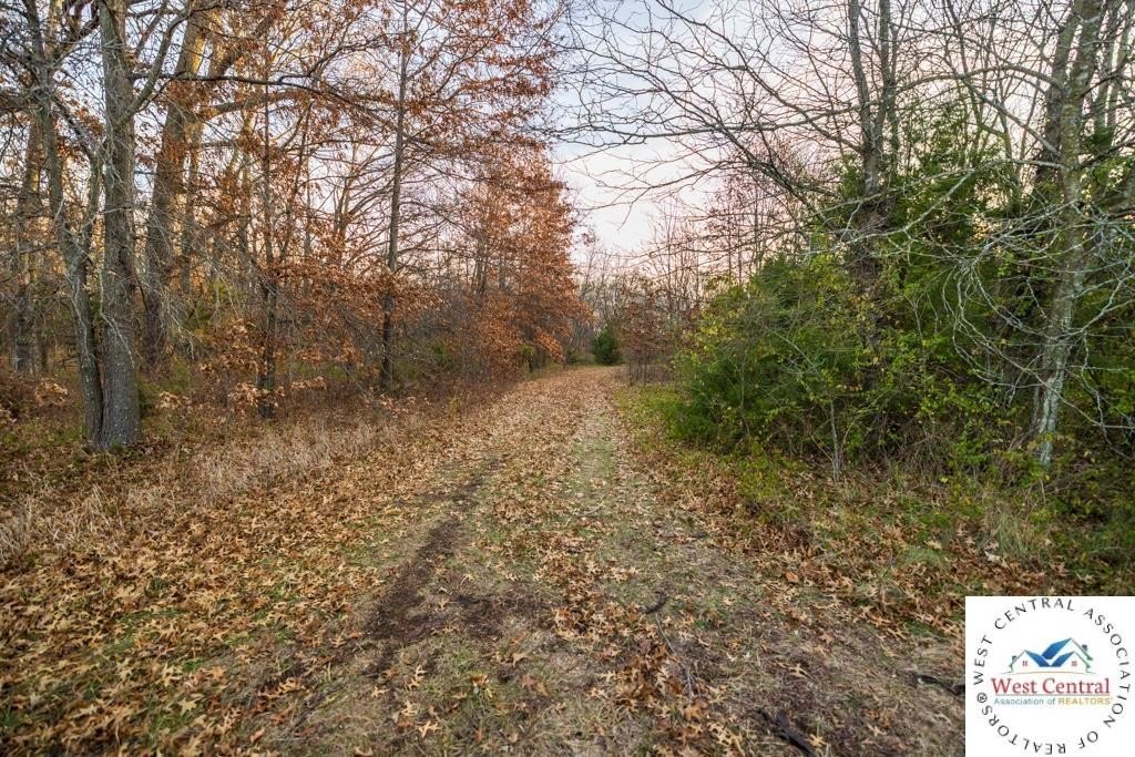
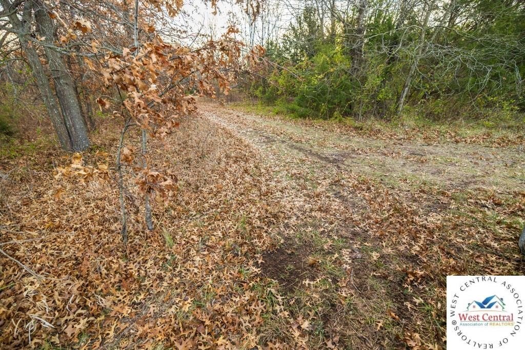
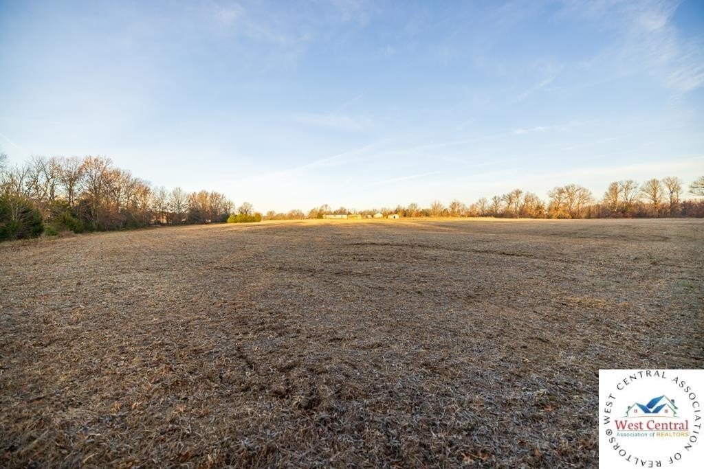
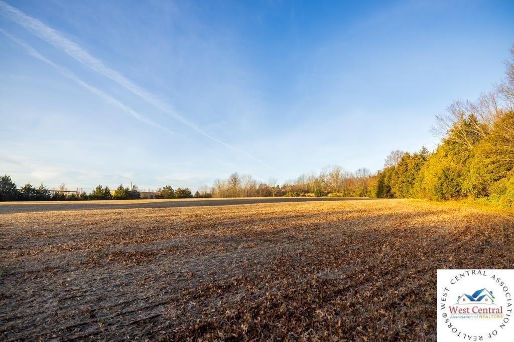
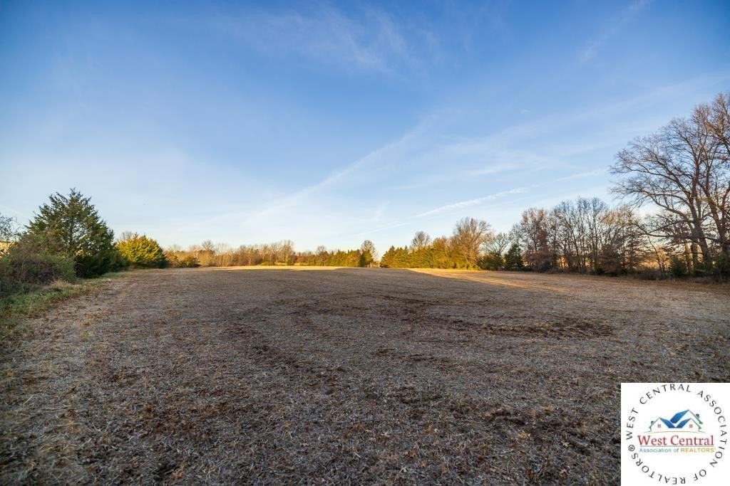
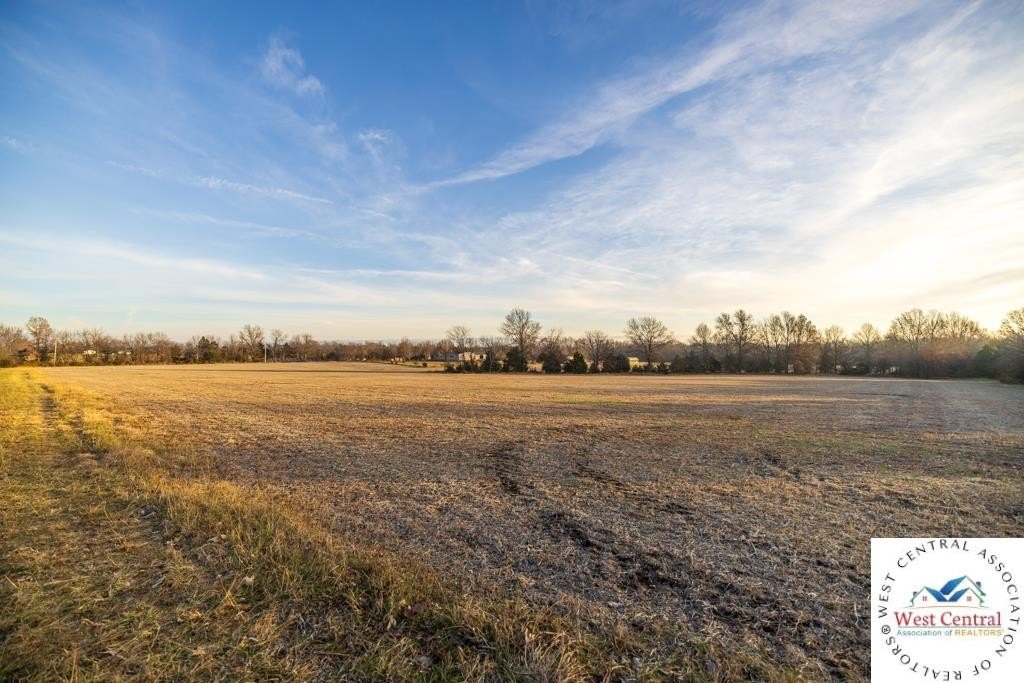
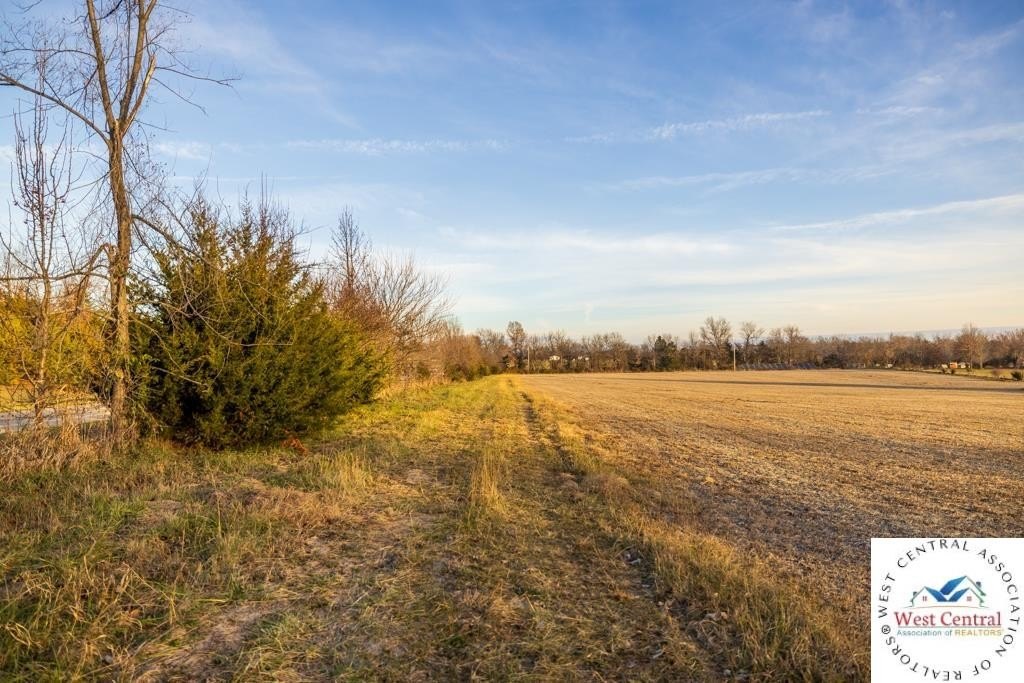
- 43.5‑acre tract just north of Urich with blacktop road frontage and utilities available at the road
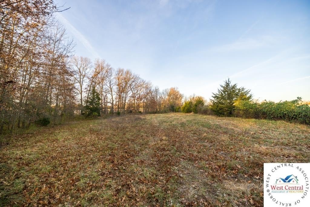
- Level open ground near the front offers multiple homesite options
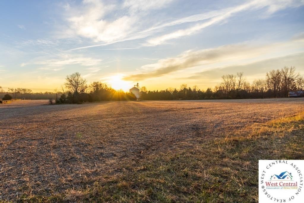
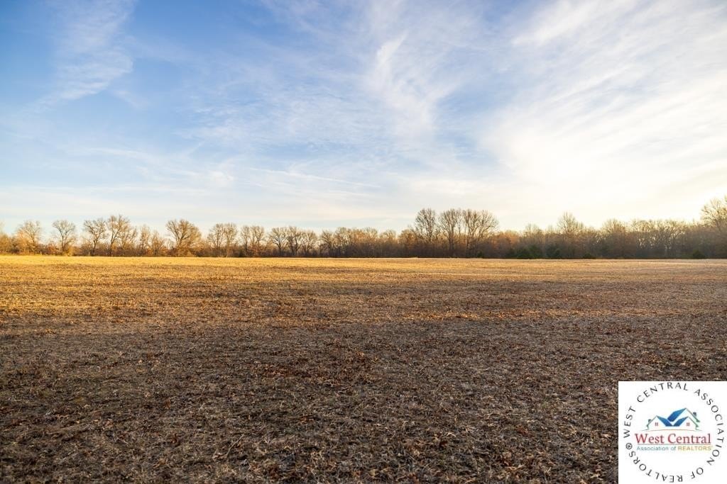
- About 20 acres are currently farmed, providing immediate income potential or space for expansion
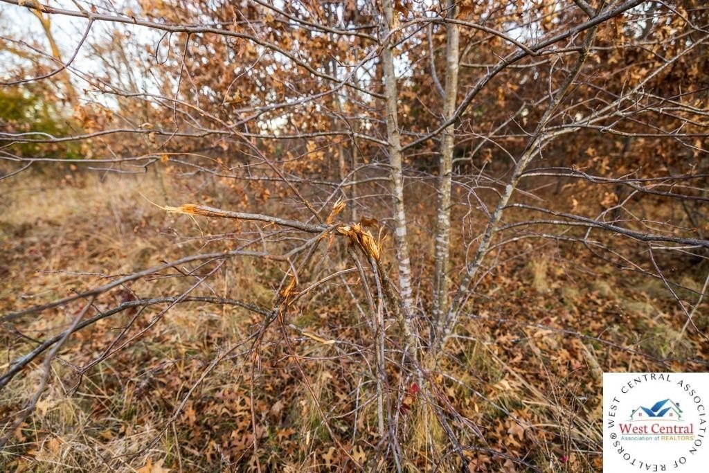
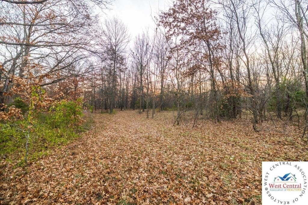
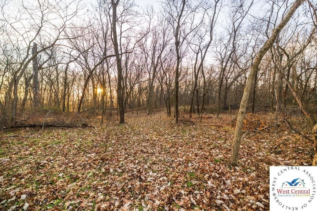
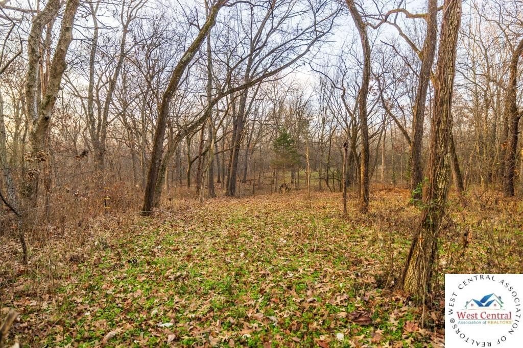
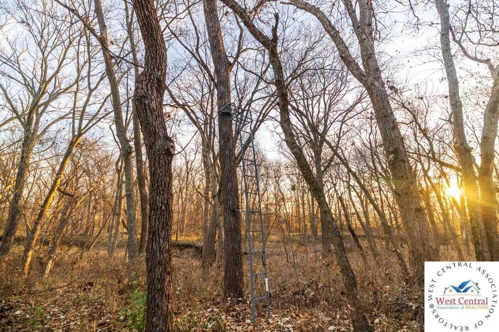
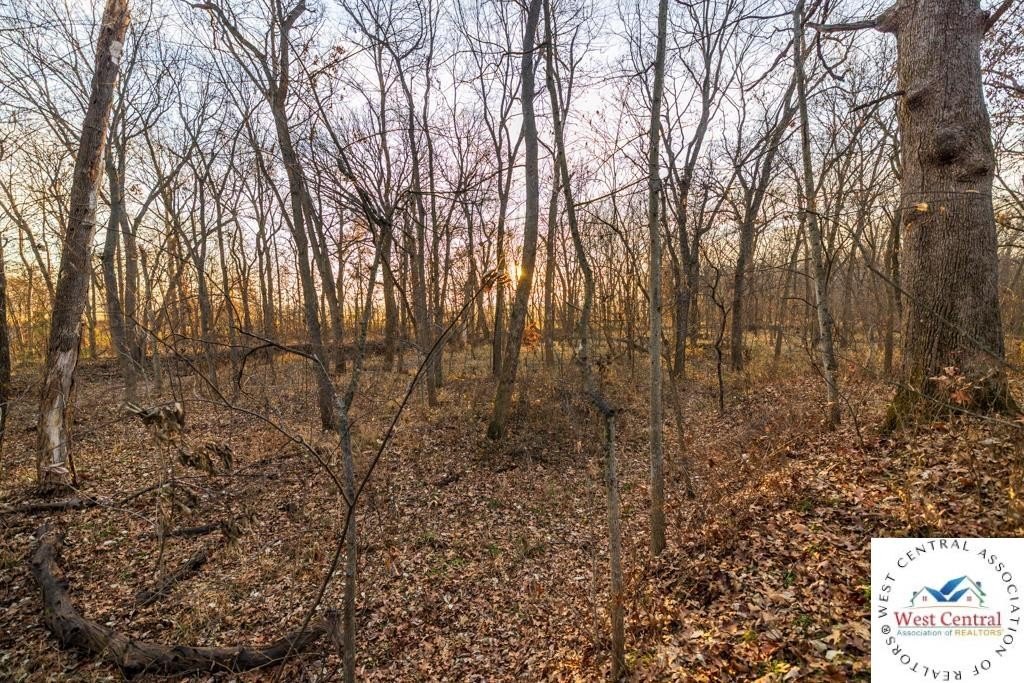
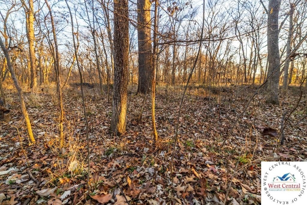
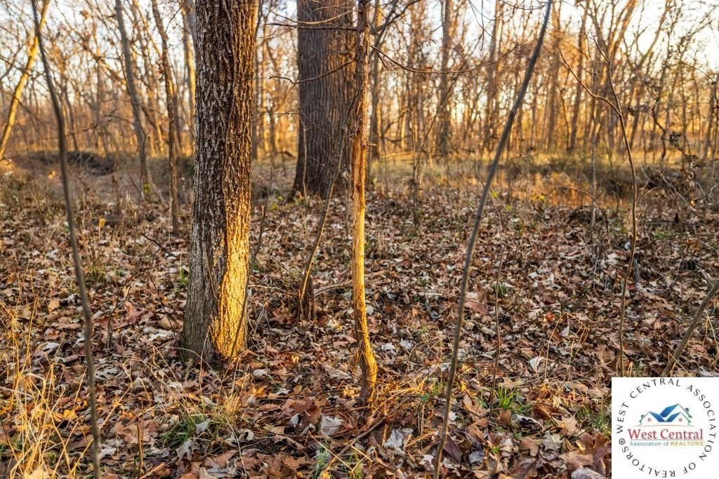
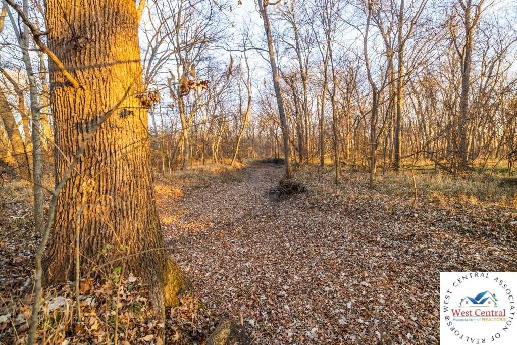
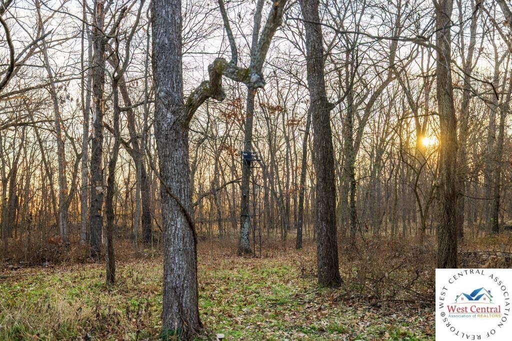
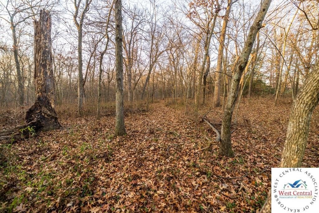
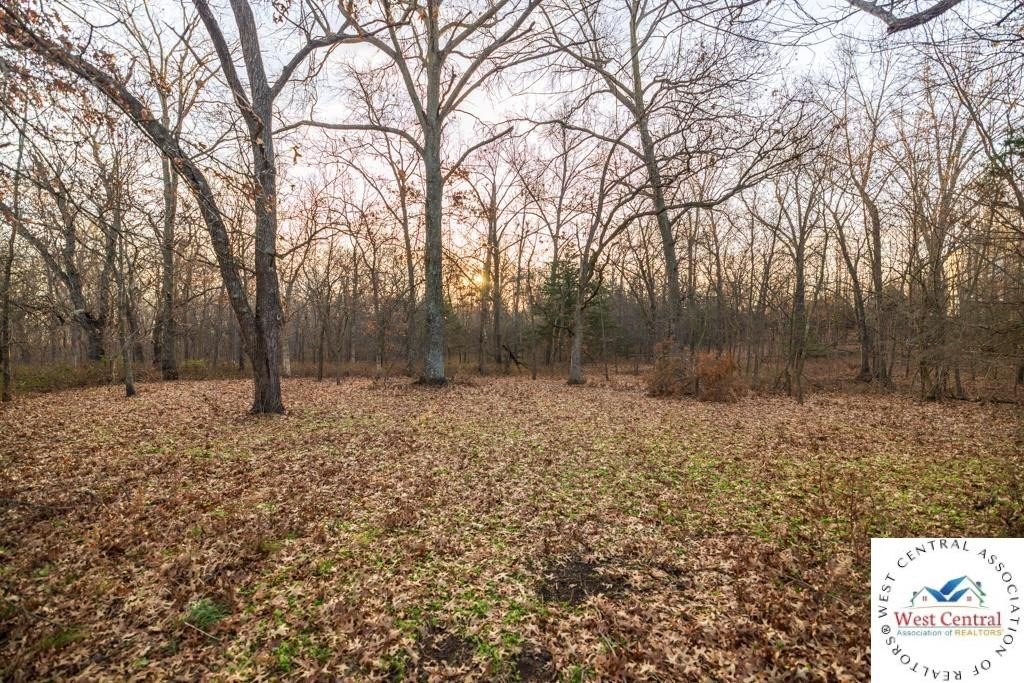
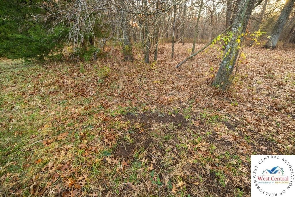
- Includes diverse terrain with mature hardwood timber and an established trail system for access throughout the property
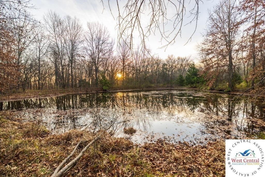
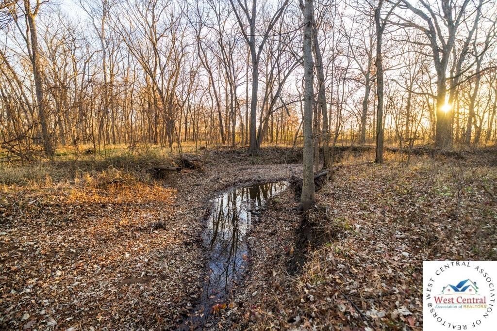
- Natural water features include a creek and a small pond, plus wooded cover for wildlife habitat
- Located in the Sherwood School District
Overview
The property is located just north of Urich, with blacktop road frontage and utilities available at the road. It also benefits from a creek, a small pond, and wooded cover that support wildlife habitat. The location is described as about 40 minutes from the Kansas City metro and roughly 15 minutes from Clinton, and it falls within the Sherwood School District.
For buyers looking for flexibility, the combination of farmable acreage, timbered areas, and internal trails makes the property well-suited for farming, hunting, recreation, or building a private residence. With power and water available at the road, prospective development can be planned from the front portion where level ground is available, while the balance of the tract remains attractive for outdoor use and long-term enjoyment.
Current Use by Public Records
Map
- City
- Urich
- County
- Henry
- State
- Missouri
- Longitude
- -94.00026974
- Latitude
- 38.46978916