NNA Hords Ranch Rd Parcel 6, Wallace, ID 83873

- Added:
- Jun 22, 2026
- Days on Market:
- 4
- Last Refresh:
- Jun 25 at 3:06 am
Property Features for NNA Hords Ranch Rd Parcel 6
General Information
- Property type
- Land
- Property subtype
- Other
- Zoning
- Nat Resource
- Exterior features
- Timber - All
- Standard status
- Active
- APN
- RP47N04E111300A
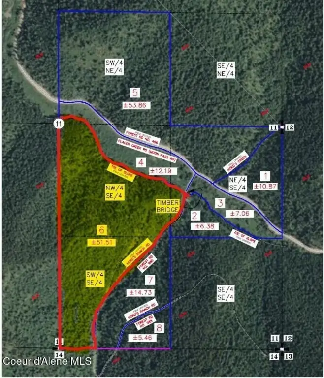
- Lot size
- 51.51 Acres
Taxes and HOA fees
- Tax Year
- 2025
- Tax Description
- See Ex A and See Remarks
- Tax Annual Amount
- 619
Listing agent Richard Abbey License #SP44408 (208) 755-0488
Listing office EXP Realty 1653 E Braemere, Boise, ID (208) 890-7776
Listing date Jun 22, 2026
Copyright © 2026 Coeur d'Alene Multiple Listing Service. All rights reserved. All information provided by the listing agent/broker is deemed reliable but is not guaranteed and should be independently verified.
HighLights
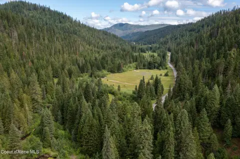
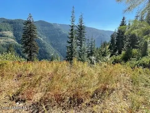
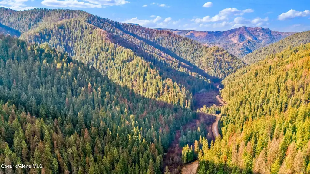
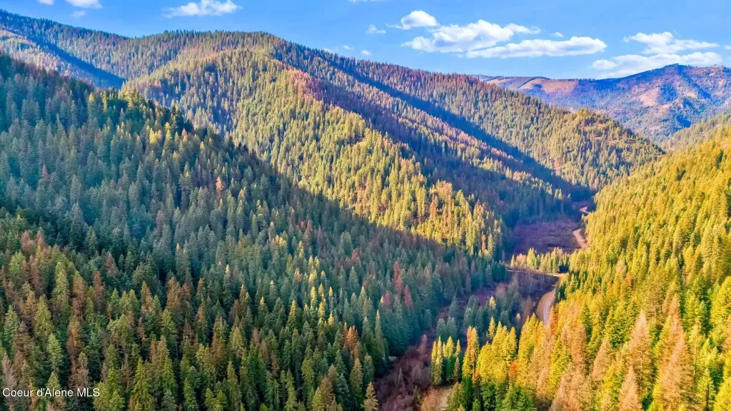
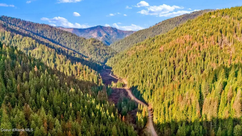
- 51.51‑acre property in the Moon Pass area with year‑round Placer Creek frontage.
- Direct adjacency to U.S. Forest Service land.
- Timber all exterior features with marketable timber on the property.
- Approximately 2 miles from historic Wallace, with recreational access for hunting, fishing, hiking, riding, and snowmobiling.
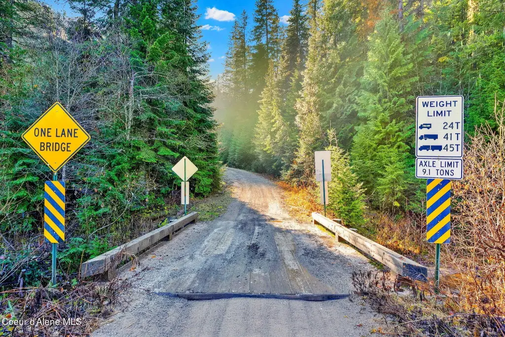
- County maintains the road seasonally.
- Natural Resources District zoning may allow residential use or future subdivision, subject to county approval and buyer verification.
Overview
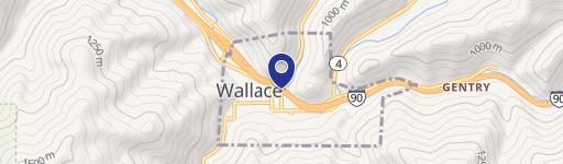
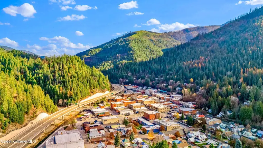
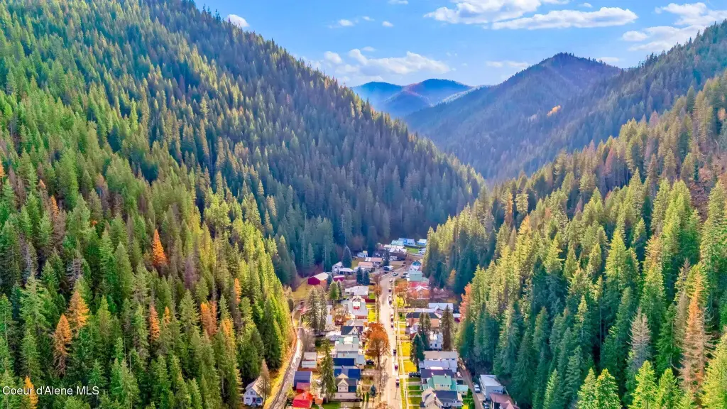
The land is located in the Moon Pass area, approximately 2 miles from historic Wallace. Access is supported by a road that the county maintains seasonally. The remarks also place the property between Silver Mountain and Lookout Pass ski resorts, balancing seclusion with proximity to town.
Zoning is listed as Nat Resource (Natural Resources District). The seller notes that Natural Resources District zoning may allow residential use or future subdivision, subject to county approval and buyer verification. For buyers and operators seeking a larger Idaho holding focused on recreation, timber value, and forest-adjacent use, this parcel offers a straightforward combination of creek frontage and surrounding public land.
Current Use by Public Records
Map
- City
- Wallace
- County
- Shoshone
- State
- Idaho
- Longitude
- -115.901017
- Latitude
- 47.423622