N State Route NN, Liberal, MO 64762

- Added:
- Apr 16, 2026
- Days on Market:
- 51
- Last Refresh:
- Jun 5 at 10:06 am
Property Features for N State Route NN
General Information
- Property type
- Land
- Property subtype
- Other
- Standard status
- Active
- APN
- 06-010-12-000-000-004000
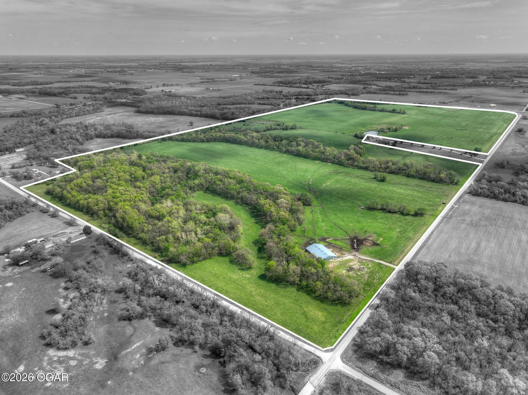
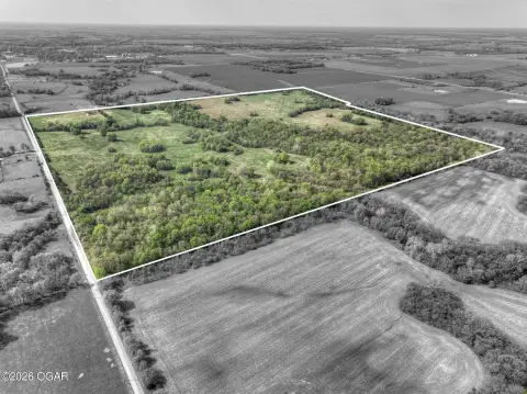
- Lot size
- 131.20 Acres
Taxes and HOA fees
- Tax Annual Amount
- 291

Listing agent Jim Alyssa Hunter Team License #2010009040 (417) 850-5355
Listing office PRO 100 Inc., REALTORS 1027 S Main Street Suite 300, Joplin, MO (417) 782-0800
Listing date Apr 16, 2026
Copyright © 2026 Ozark Gateway Association of Realtors. All rights reserved. All information provided by the listing agent/broker is deemed reliable but is not guaranteed and should be independently verified.
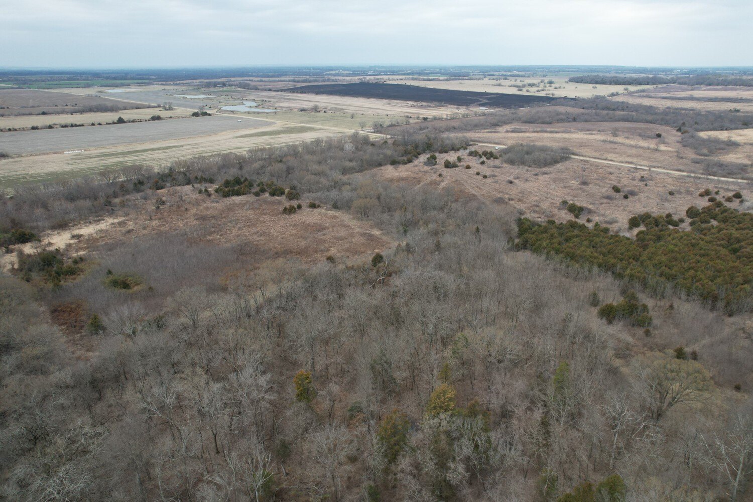
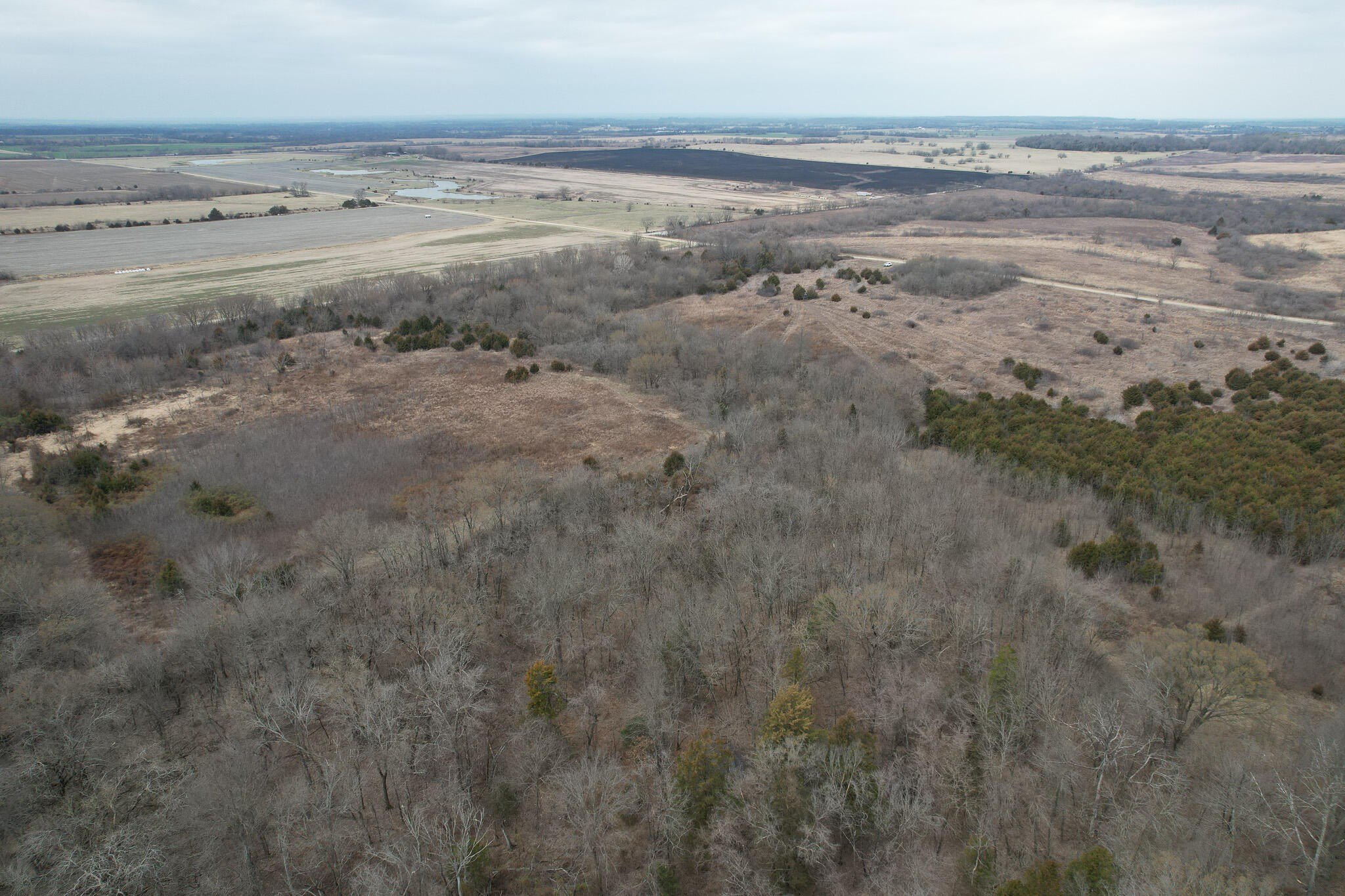
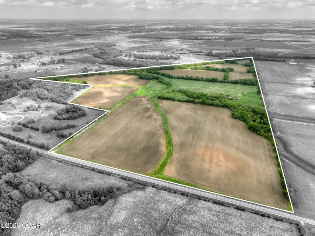
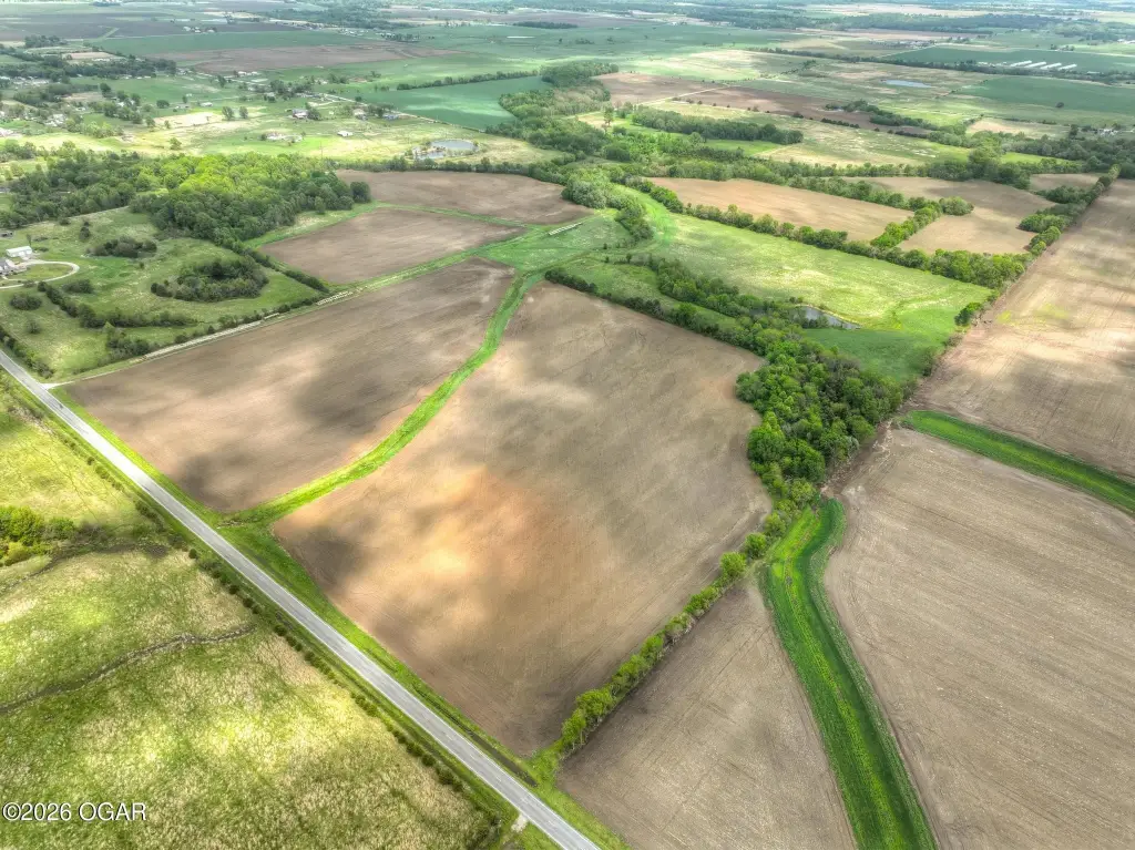
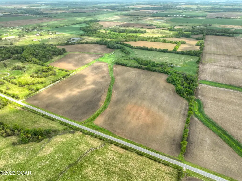
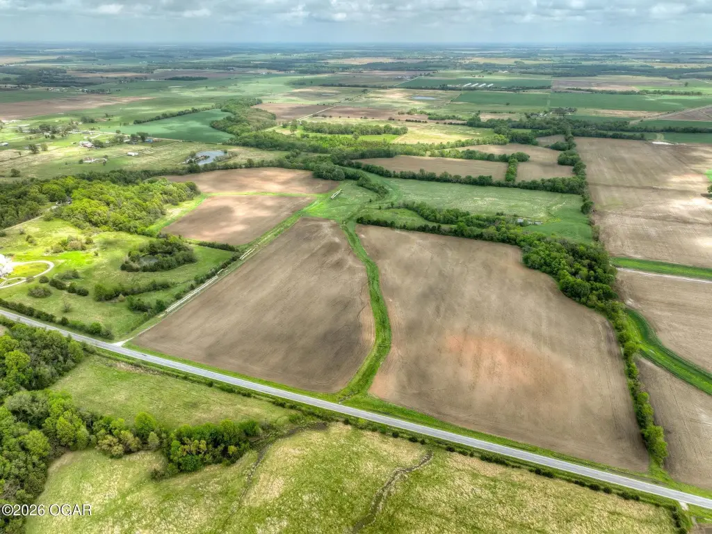
HighLights
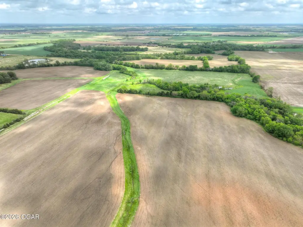
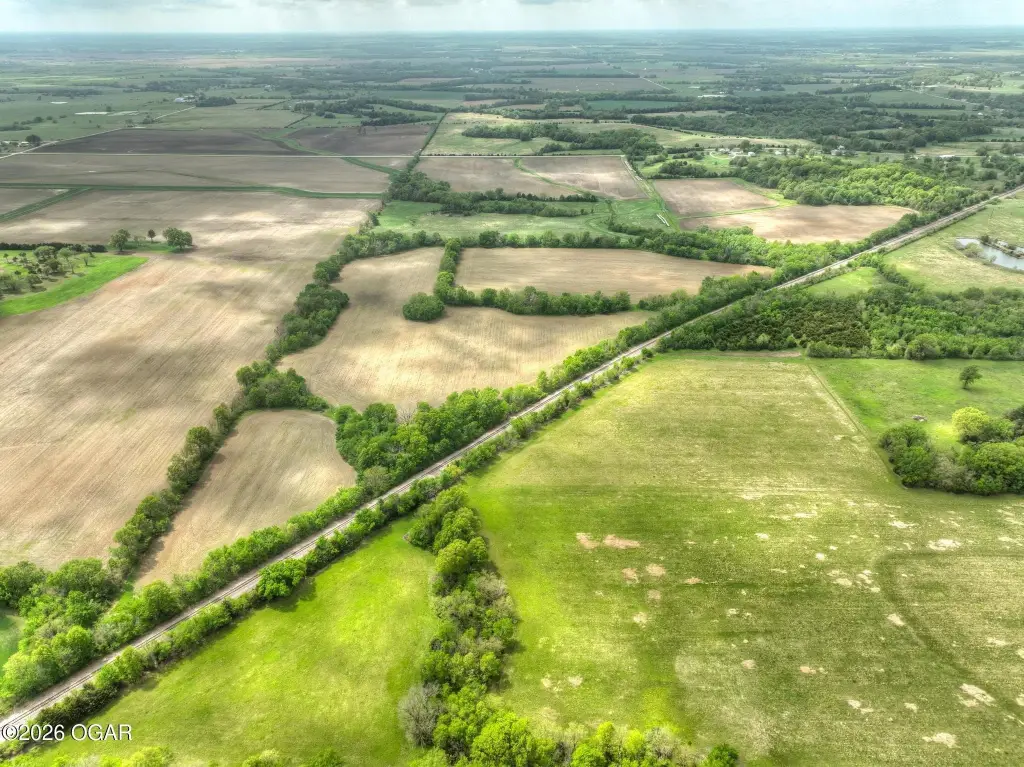
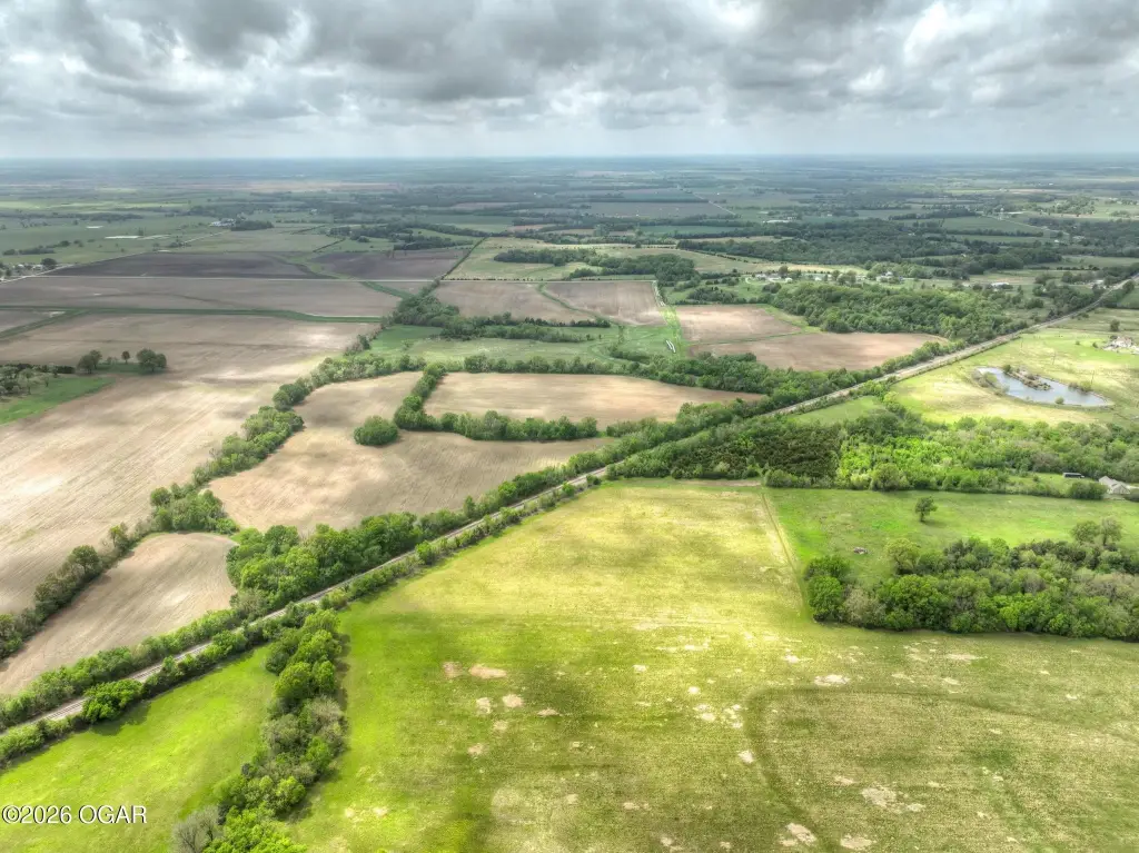
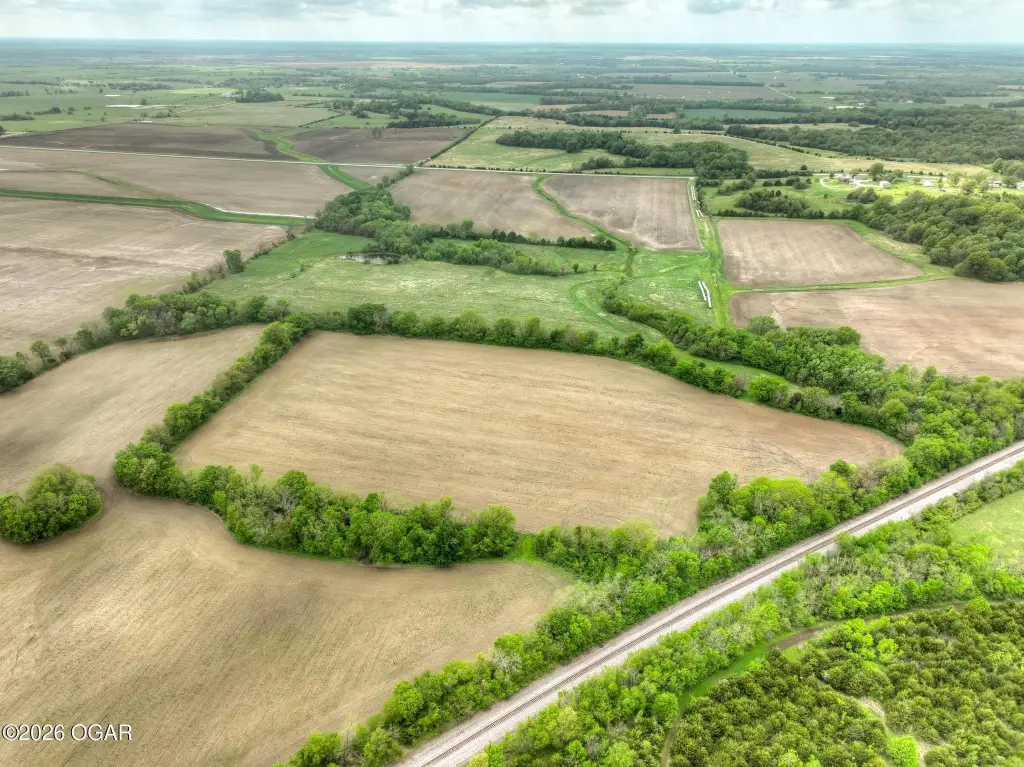
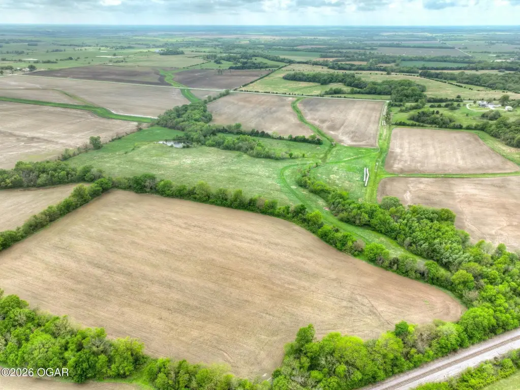
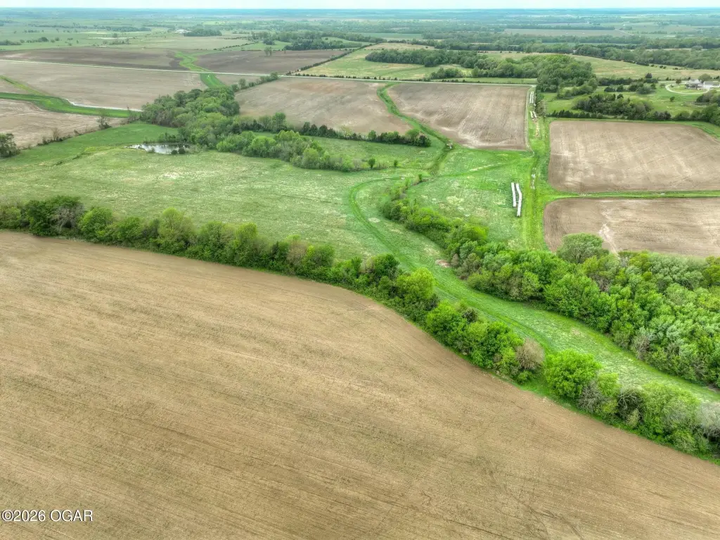
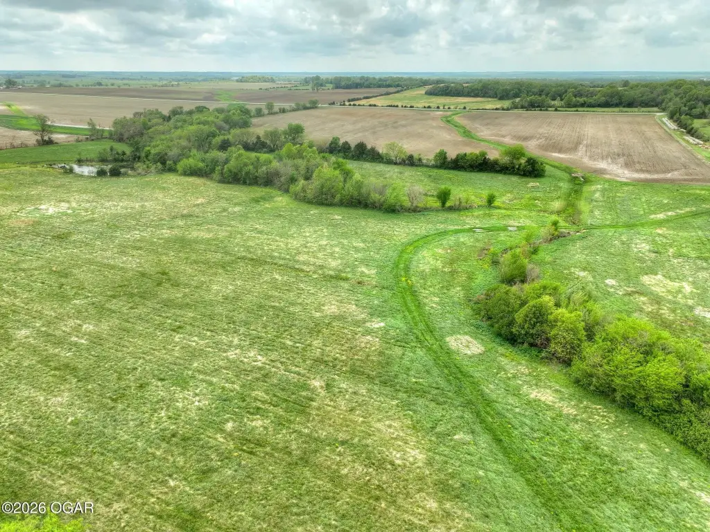
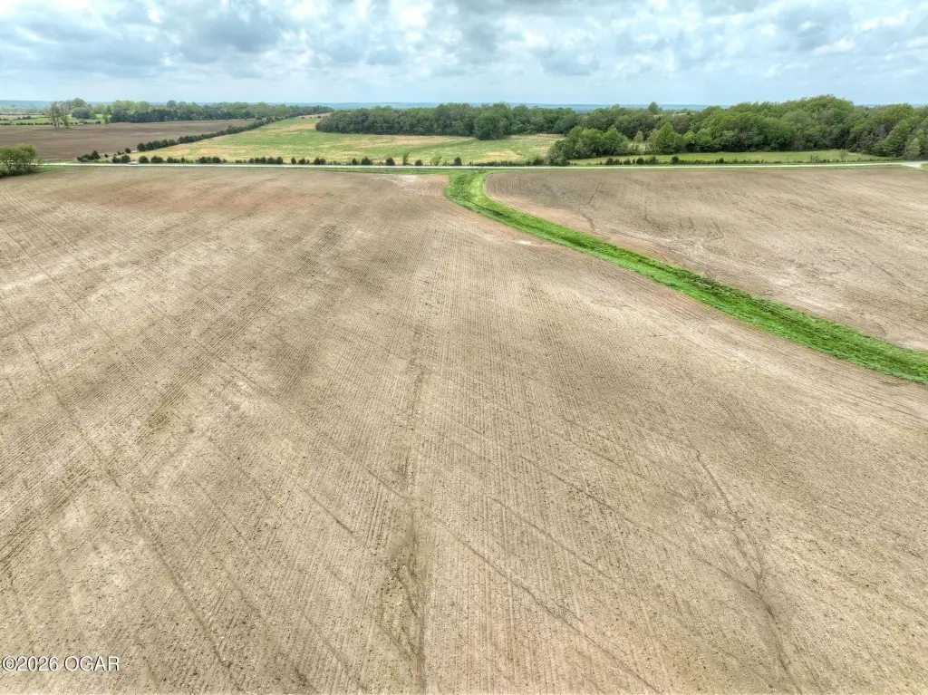
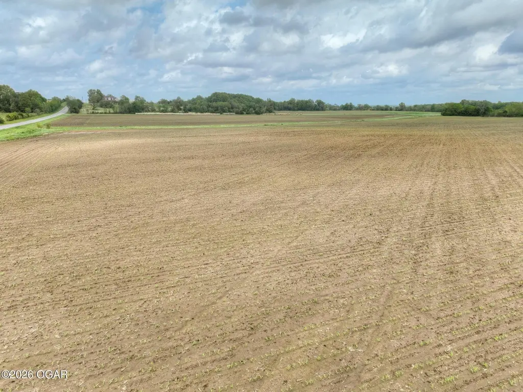
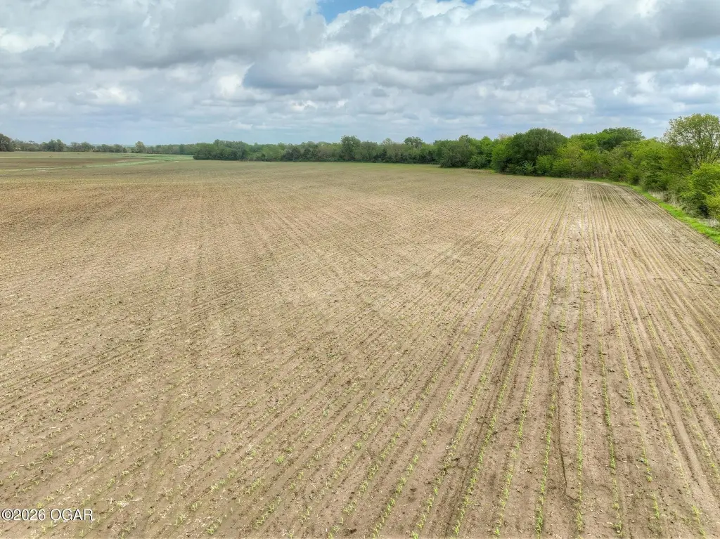
- High percentage of tillable land with strong soil profile (Class II and III Silt Loam) suitable for row crop production.
- Immediate income potential through existing share crop agreement.
- Solid productivity and dependable yields demonstrated by an average NCCPI score of 66.
- Approximately 80% of the property lies within Flood Zone X (minimal flood hazard).
- Historically utilized for corn, soybeans, and grass production.
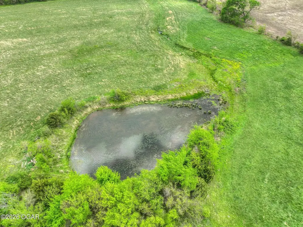
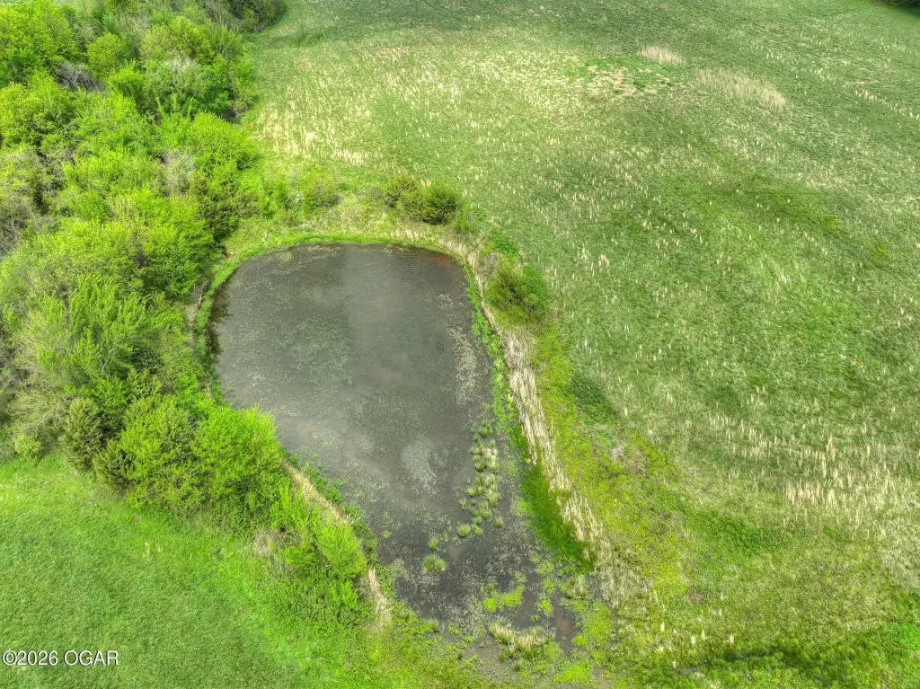
- Branch of Drywood Creek provides natural character and potential water source.
Overview
The farm is located in Barton County, Missouri, with the address listed as N State Route NN, Liberal, MO 64762. The seller’s remarks indicate the land has historically been used for corn, soybeans, and grass production, and that a high percentage of the ground remains usable.
For buyers seeking farmland for continued row crop use or for operation alongside an existing crop arrangement, this tract combines workable acreage with soil detail provided in the listing materials. The presence of Drywood Creek may also be of interest to operators evaluating the land’s natural features while maintaining a largely tillable profile. Interested parties should review the sharecrop agreement terms and confirm the intended use with the current operator and relevant local authorities.
Current Use by Public Records
Map
- City
- Liberal
- County
- Barton
- State
- Missouri
- Longitude
- -94.513329
- Latitude
- 37.542856