NHN Rosa Trail, Anaconda, MT 59711
- Added:
- Jun 23, 2026
- Days on Market:
- 3
- Last Refresh:
- Jun 25 at 3:06 am
Property Features for NHN Rosa Trail
General Information
- Property type
- Land
- Property subtype
- Other
- Standard status
- Active
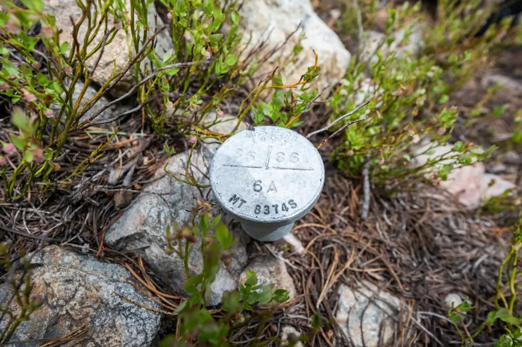
- APN
- 30128520301060000
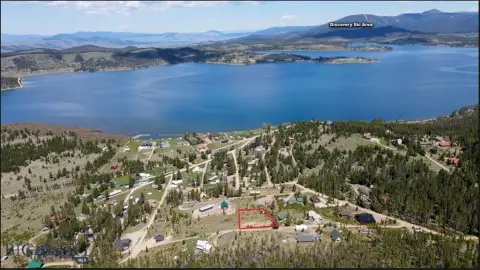
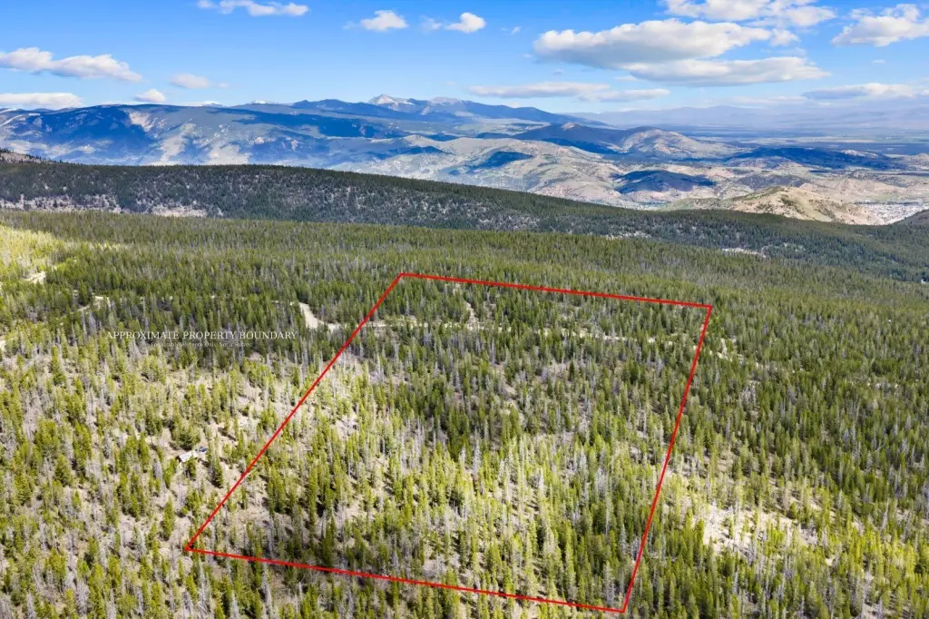
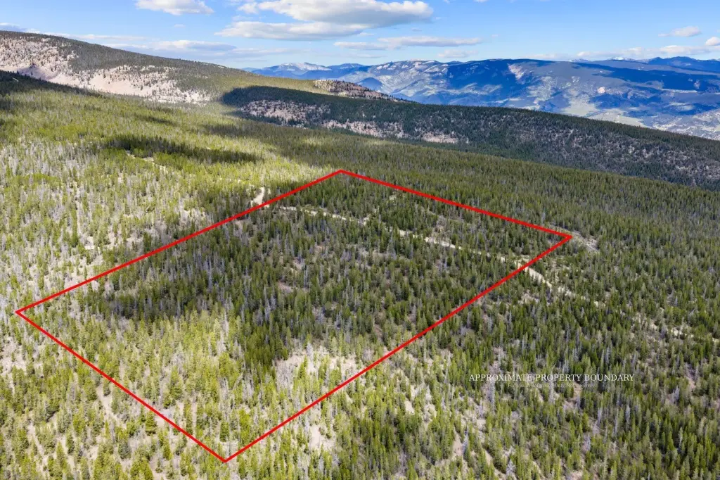
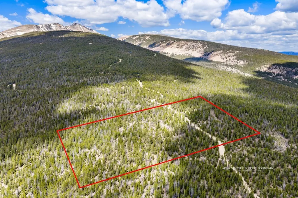
- Lot size
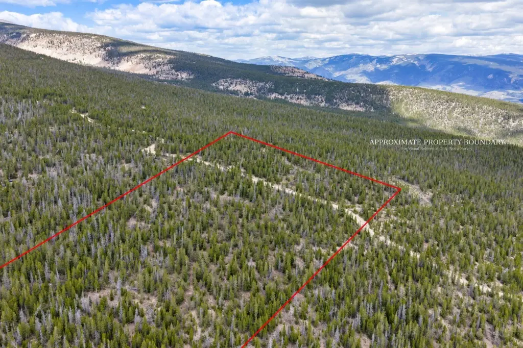
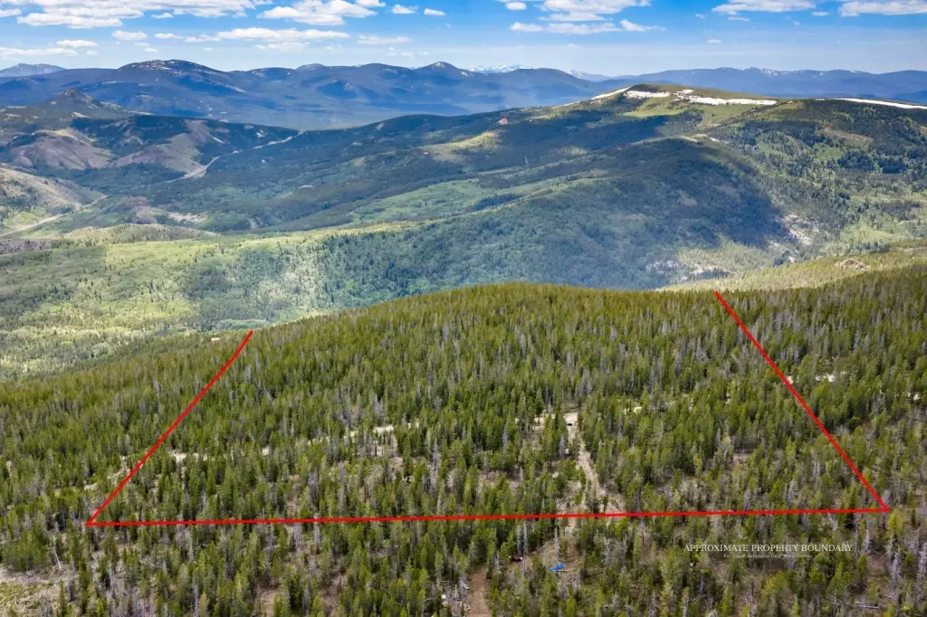
- 20.71 Acres
Taxes and HOA fees
- Tax Year
- 2025
- Tax Description
- CLEAR CREEK, S20, T04 N, R11 W, Lot 6A, ACRES 20.705, 80B IN SE4 SEC 19 & SW4 SEC 20
- Tax Annual Amount
- 60

Listing agent Michele Churchill License #RRE-RBS-LIC-53494 (406) 599-1919
Listing office eXp Realty LLC - Missoula 1205 S Main St Ste. 335, Kalispell, MT (406) 578-4399
Listing date Jun 23, 2026
Copyright © 2026 Montana Regional MLS. All rights reserved. All information provided by the listing agent/broker is deemed reliable but is not guaranteed and should be independently verified.
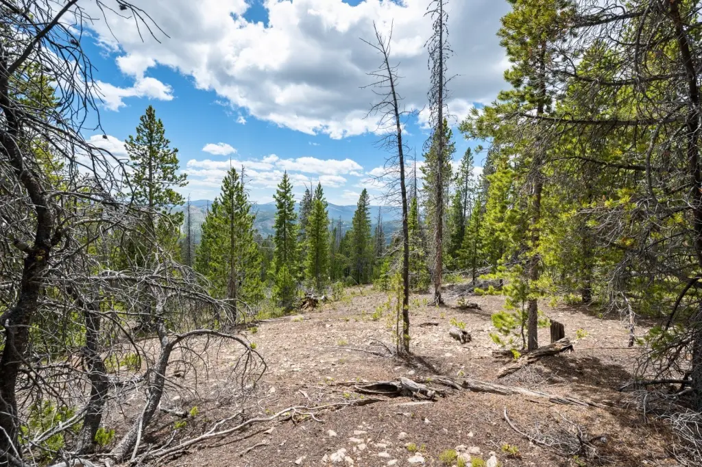
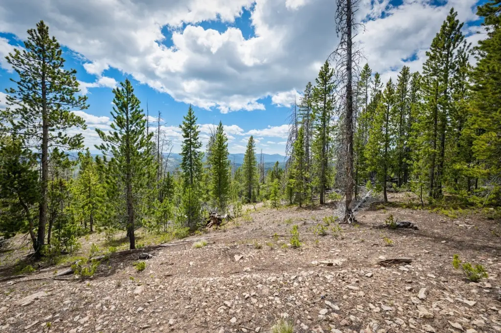
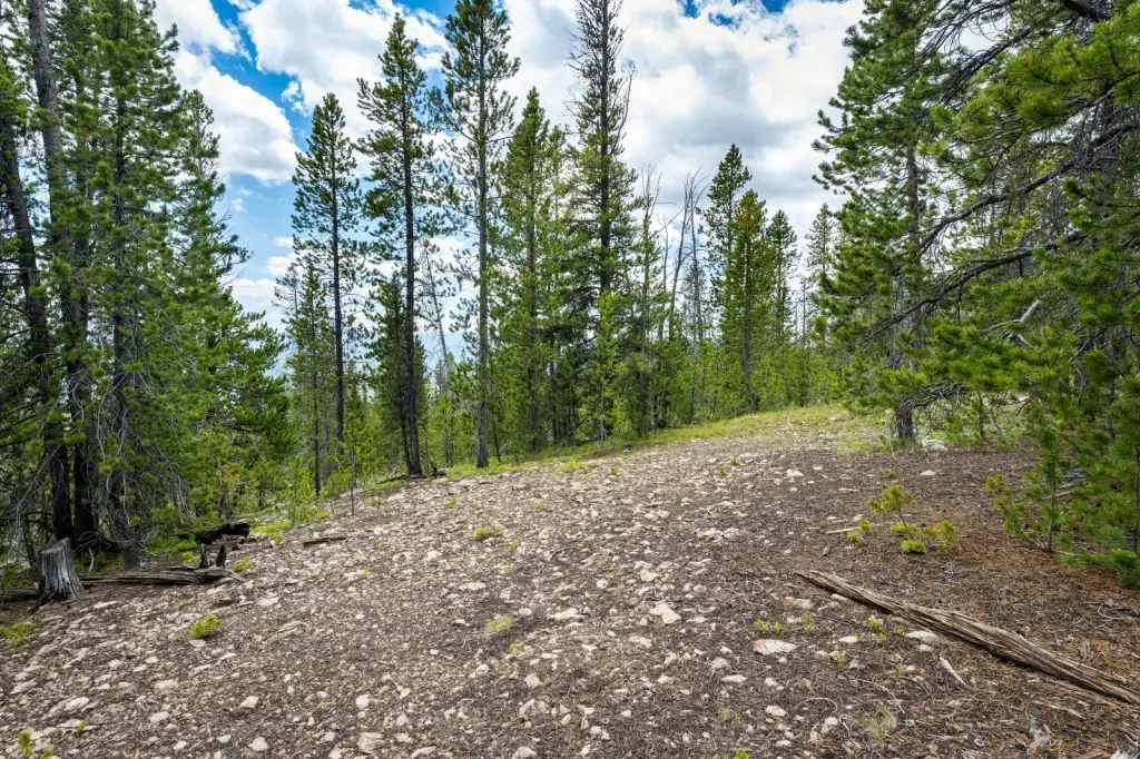
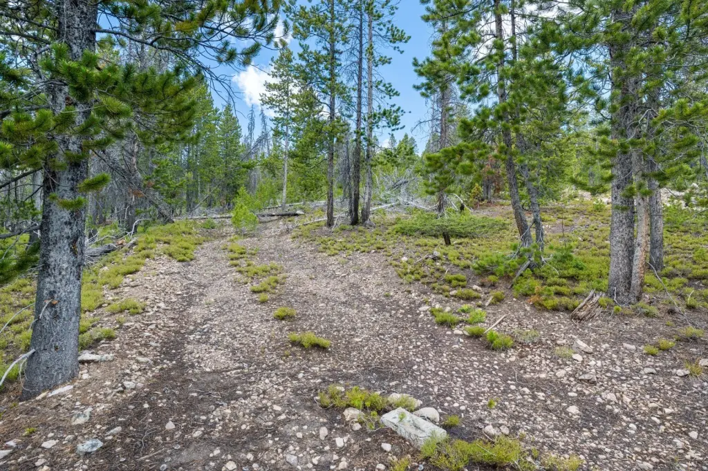
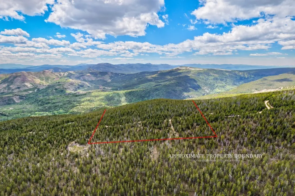
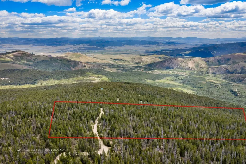
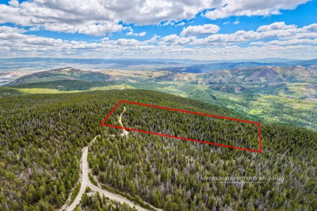
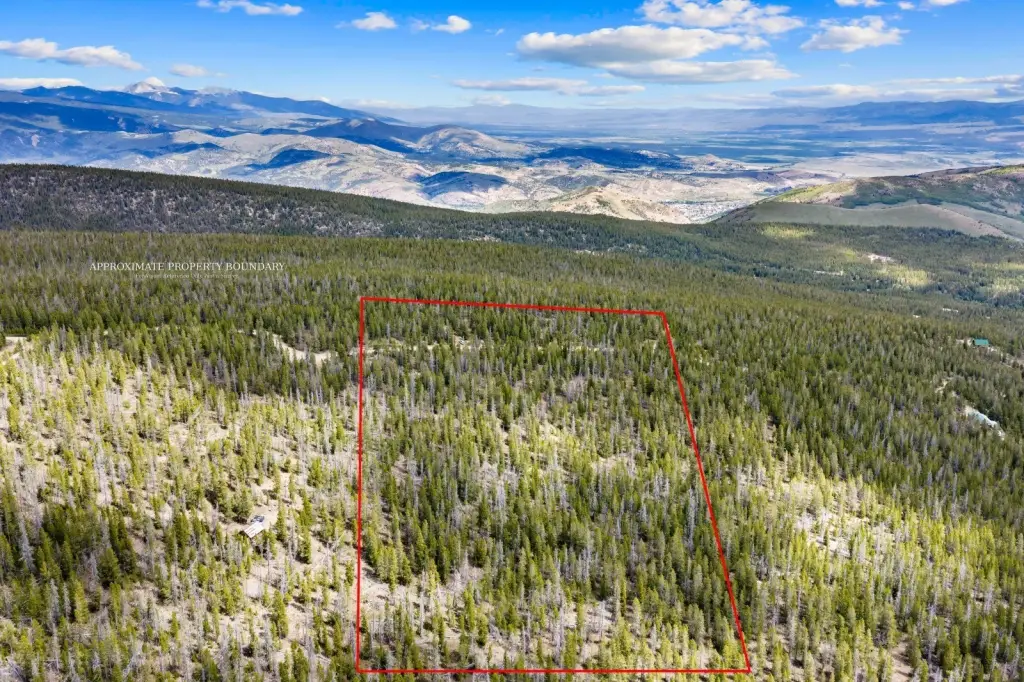
HighLights
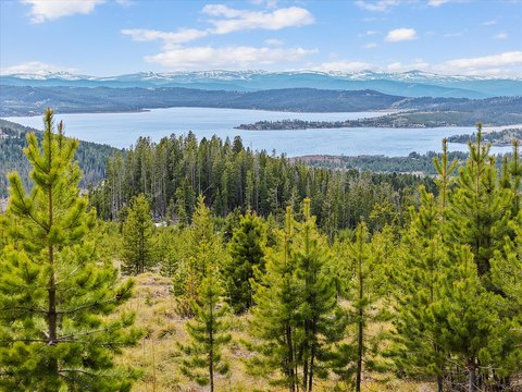
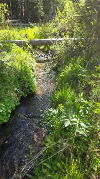
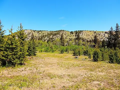
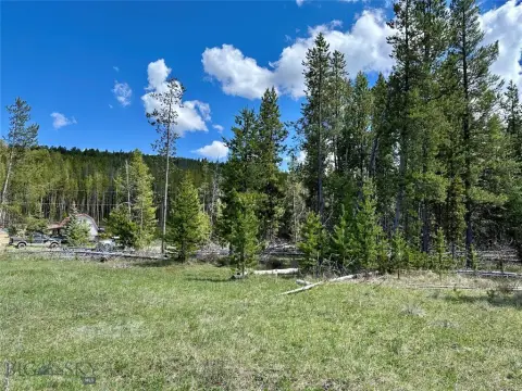
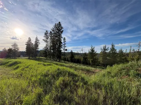
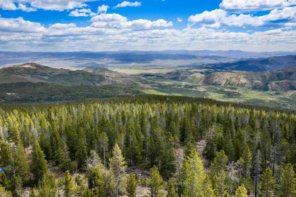
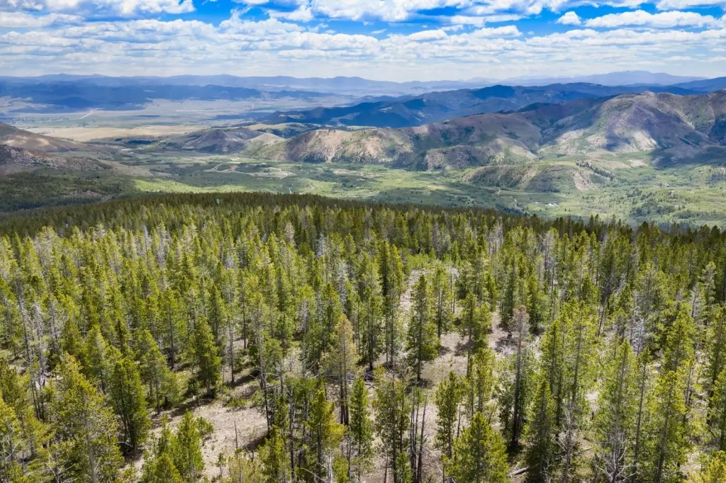
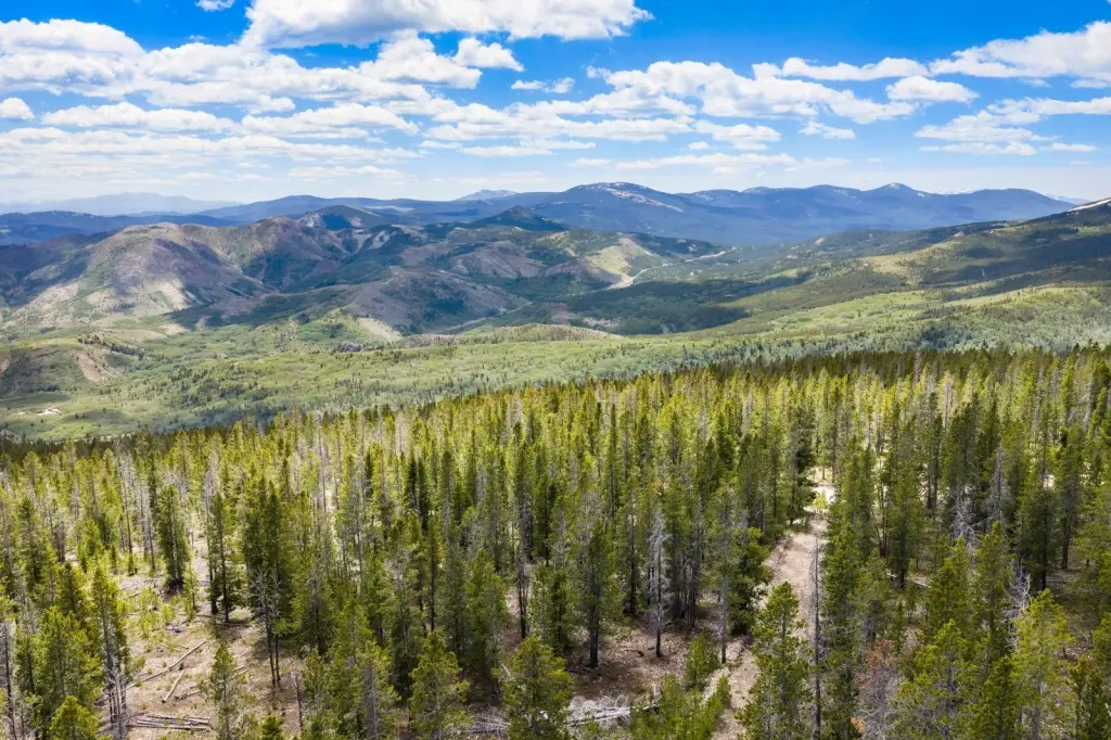
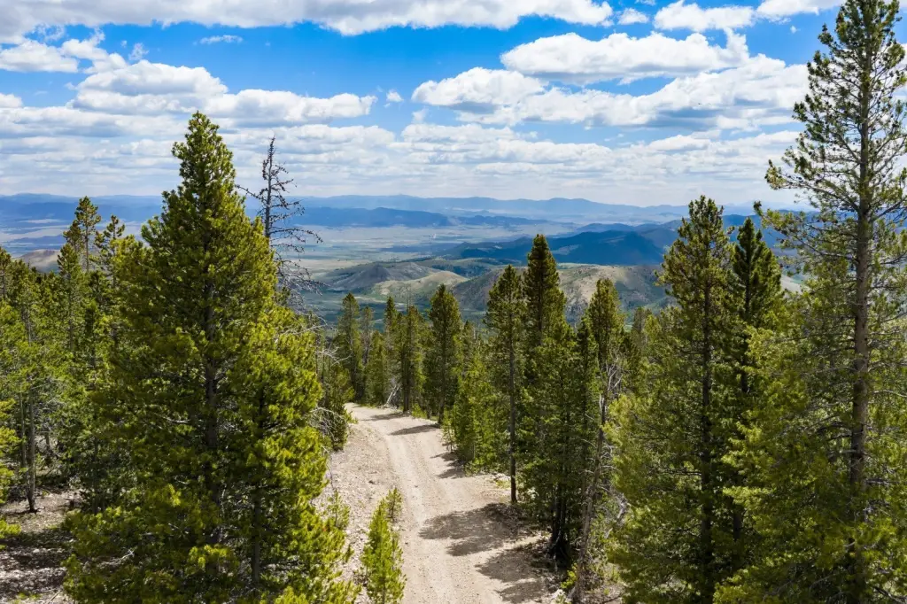
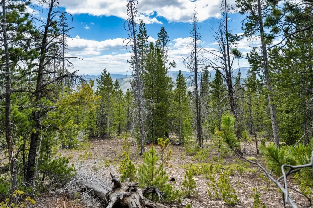
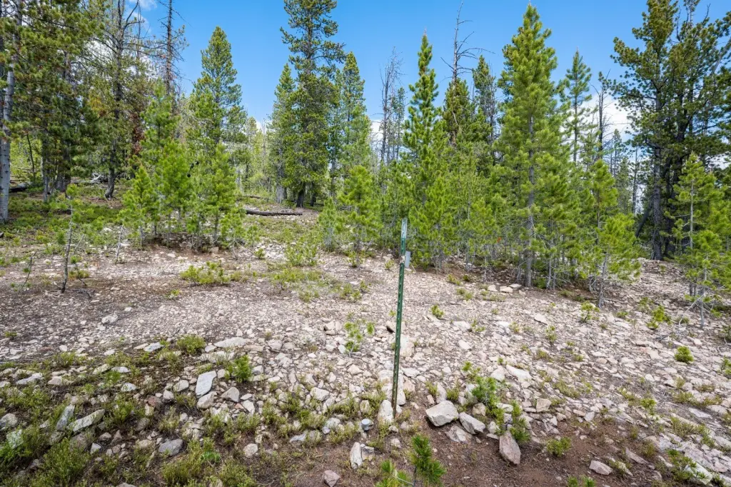
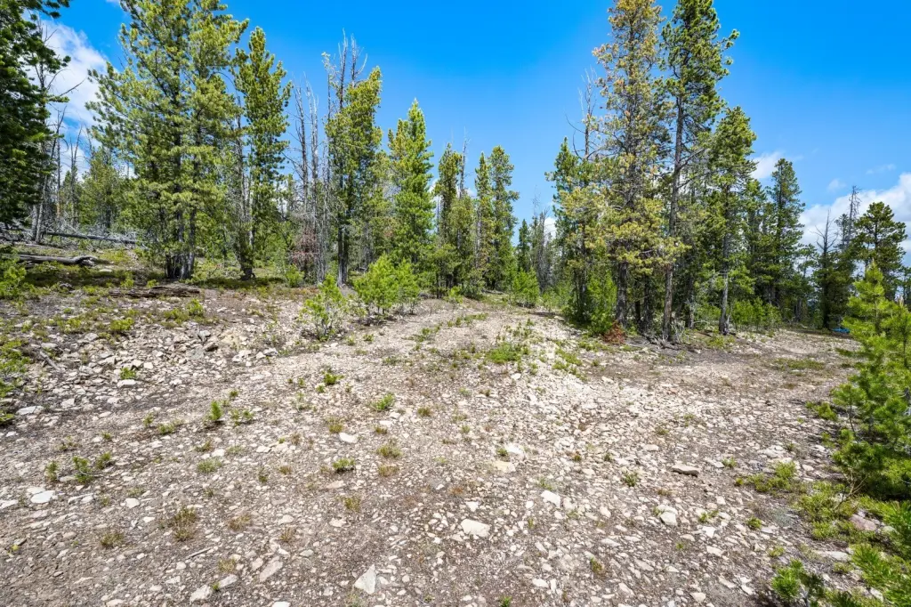
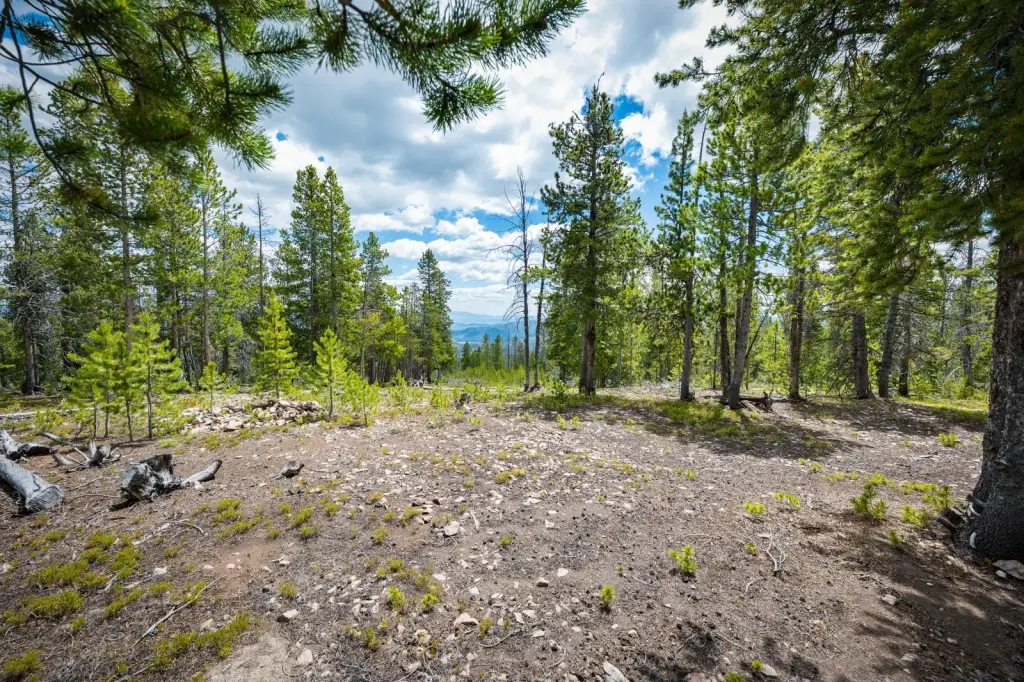
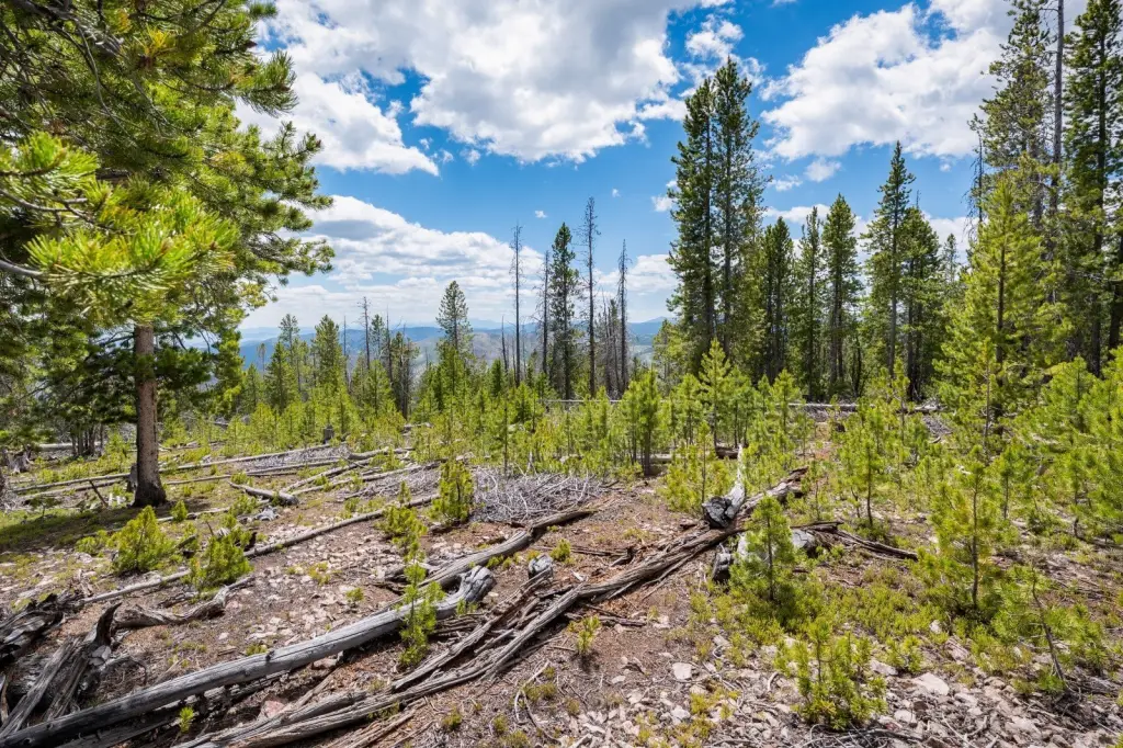
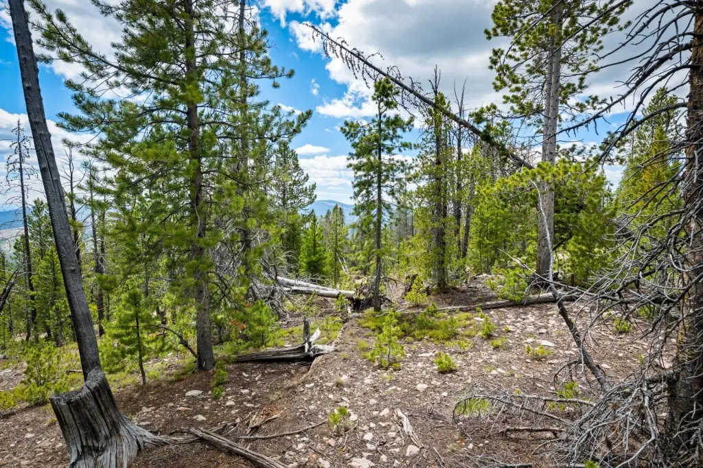
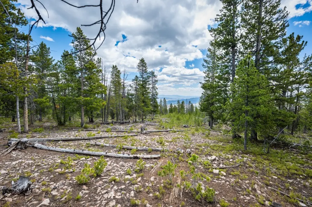
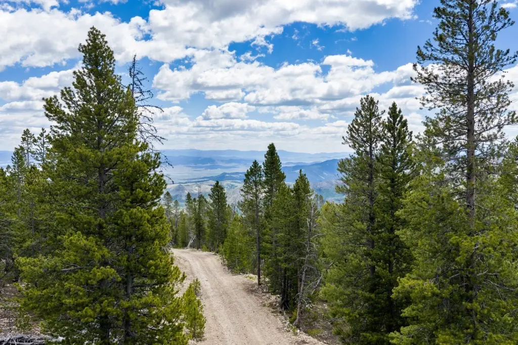
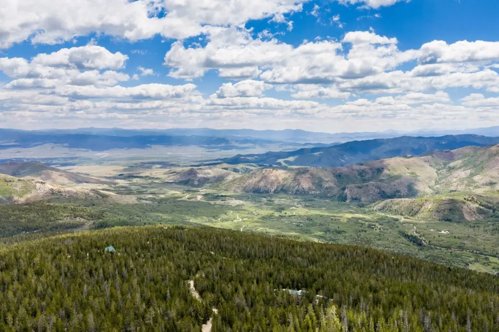
- 20 wooded acres with mountain views that can open up with selected timber cutting
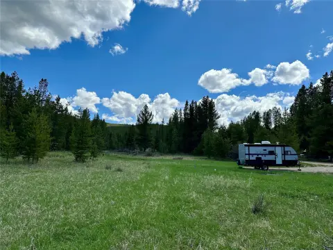
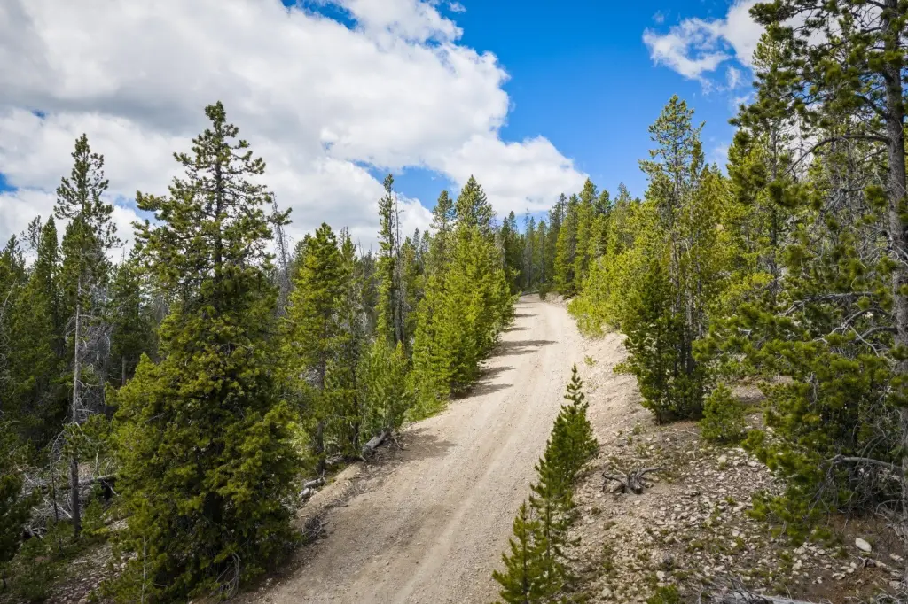
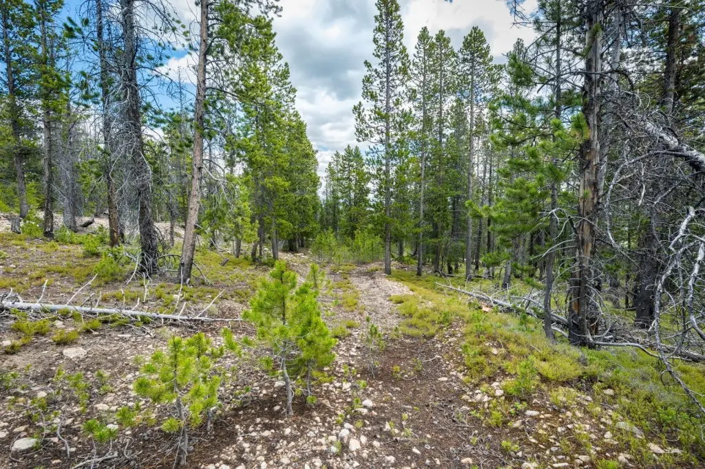
- Graded driveway with a turnaround already in place
- Alternate driveway route on the other side of the road, with fallen tree removal needed to improve it
- Mostly level near the road with moderate topography throughout the parcel
- Located at 7,200‑ft elevation with decent non‑snow road access for passenger vehicles
- No regular winter maintenance for the last 1.5 miles; about 5.8 miles off Mill Creek Highway (MT Hwy 569) outside Anaconda
Overview
The property sits at approximately 7,200 feet elevation. Road access is described as decent in non-snow months by passenger vehicle, with no regular winter maintenance for the last 1.5 miles. It is about 5.8 miles off Mill Creek Highway (MT highway 569), outside historic Anaconda, where local options include restaurants, a brewery, wine bars, golf courses, the Washoe Theater, and the Kennedy Commons with summer venues and winter ice skating. Washoe Park is also referenced for swimming pool, playgrounds, Splash Park, and walking trails along Warm Springs Creek.
For buyers looking for Montana land to hold or enjoy, the parcel’s combination of wooded acreage, graded access, and potential for expanded mountain views supports a range of recreational plans. The described seasonal road maintenance should be considered when planning year-round use.
Current Use by Public Records
Map
- City
- Anaconda
- County
- Deer Lodge
- State
- Montana
- Longitude
- -113.0050898
- Latitude
- 46.07902358