0 and 00 Nesting Road, Jamaica, VA 23079
- Added:
- Jun 18, 2026
- Days on Market:
- 10
- Last Refresh:
- Jun 27 at 2:06 pm
Property Features for 0 and 00 Nesting Road
General Information
- Property type
- Land
- Property subtype
- Other
- Standard status
- Active
- APN
- 8-2
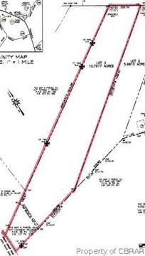
- Lot size
- 158.70 Acres
Taxes and HOA fees
- Tax Year
- 2025
- Tax Description
- CANOE HOUSE LANDING 110.701 AC W31-442,PB6-109,196-473,D299-1 D359-183,7-0963 and HENRICO SPRINGER #2603 48.00 AC (LUCA) PL54-36,196-473,299-1,359-180 D7-0963
- Tax Annual Amount
- 1450
Listing agent Stokes McCune License #0225236583 (804) 356-1093
Listing office Hometown Realty 111 S Railroad Ave, Mechanicsville, VA (804) 752-7585
Listing date Jun 18, 2026
Copyright © 2026 Central Virginia Regional Multiple Listing Service. All rights reserved. All information provided by the listing agent/broker is deemed reliable but is not guaranteed and should be independently verified.
HighLights
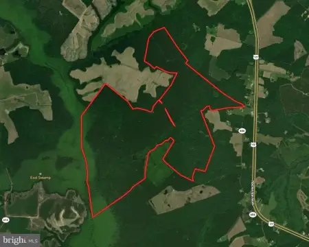
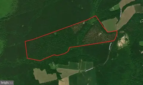
- 158.701‑acre tract comprised of two adjoining parcels with road frontage on Nesting Road off Route 17 in Jamaica
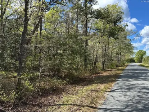
- Nesting Road access with solid dirt and gravel roads in good condition for reaching most areas by truck or ATV
- Mostly level near Nesting Road and slopes downward toward Mud Creek, with Mud Creek mostly swamp
- Rural power line easement traverses the property; Middlesex GIS indicates a large amount of wetlands
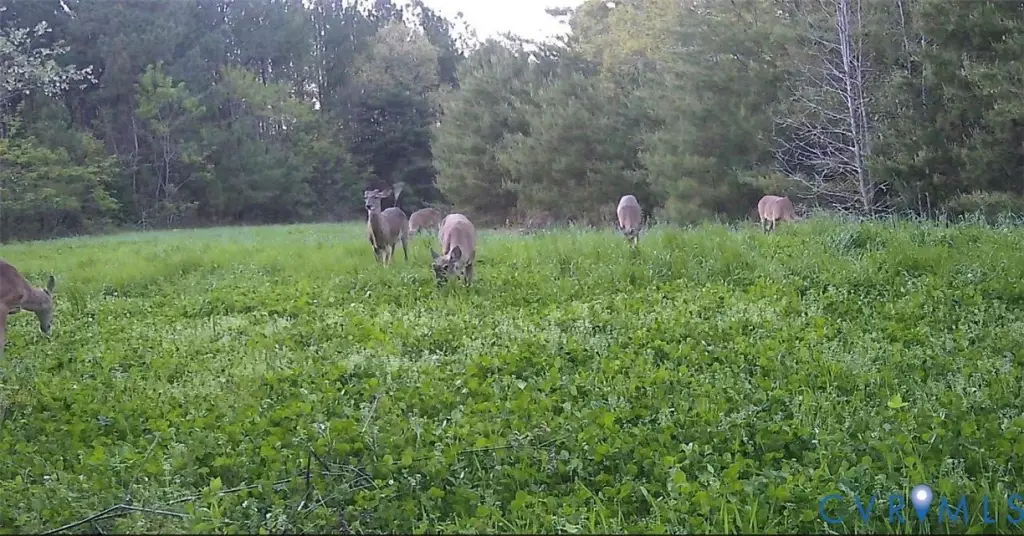
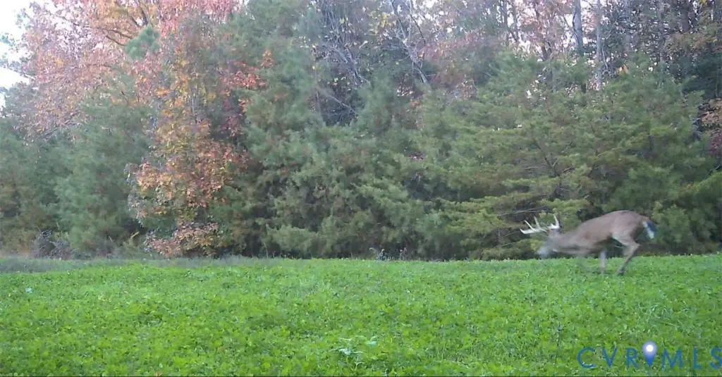
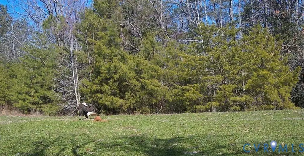
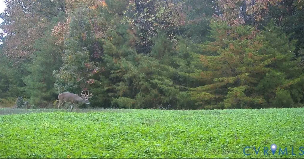
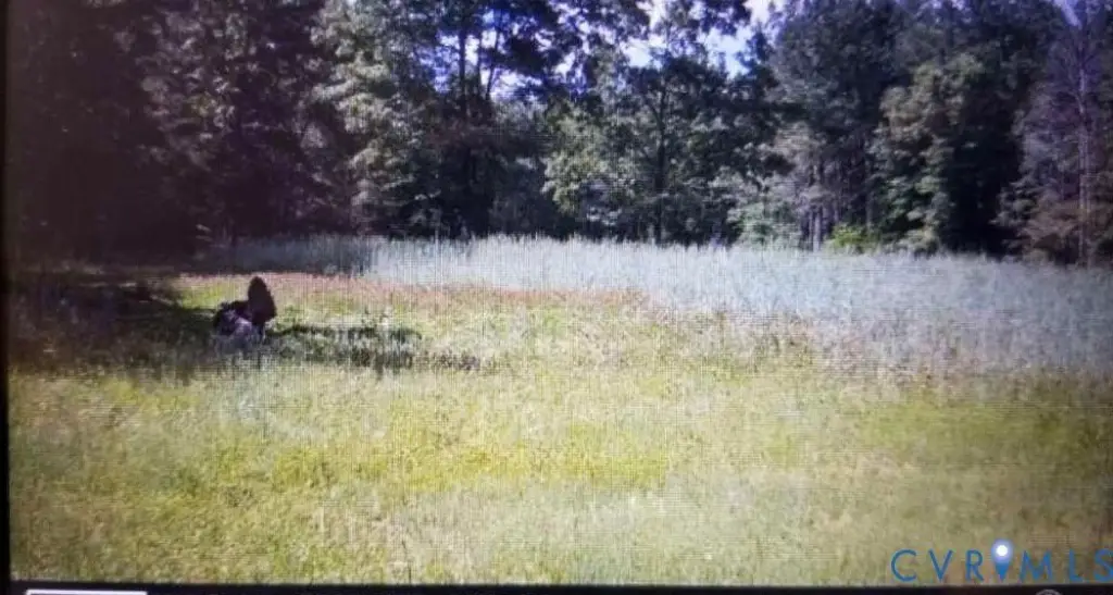
- Mostly woodland with several small open food‑plot areas used for hunting season
- Timbered around 2003; trees may be marketable and a timber cruise is suggested for exact timber values
Overview
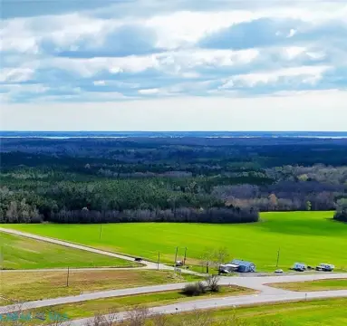
The property has road frontage on Nesting Road and access throughout is described as easy via solid dirt and gravel roads in good condition. A road network allows access to most areas of the tract by truck or ATV. The tract is near the Rappahannock River, and when it was clearcut it is reported that views of the river were possible; the lower field is about 0.28 of a mile to the Rappahannock River. Flood plain and wetlands are described as typical for large tracts in the area that front creeks and are not considered adverse.
For buyers looking for a larger rural tract for managed timber and outdoor recreation, the mix of wooded cover and designated food plots supports hunting use. The combination of easy inland access, rural road connectivity, and creek-and-wetland terrain can also be attractive for those planning land management and recreational activities on a single cohesive parcel.
Current Use by Public Records
Map
- City
- Jamaica
- County
- Middlesex
- State
- Virginia
- Longitude
- -76.6702262
- Latitude
- 37.7377391