
HWY 160, Mound Valley, KS 67354
- Added:
- Oct 21, 2025
- Days on Market:
- 261
- Last Refresh:
- Jul 8 at 4:06 am
Property Features for HWY 160
General Information
- Property type
- Land
- Property subtype
- Other
- Standard status
- Pending
- Lot size
- 380.61 Acres
Listing agent Ethan Houk (620) 577-4487
Listing office L2 Realty, Inc 4045B CR 3900, Independence, KS (620) 577-4487
Listing date Oct 21, 2025
Copyright © 2026 My State MLS. All rights reserved. All information provided by the listing agent/broker is deemed reliable but is not guaranteed and should be independently verified.
HighLights
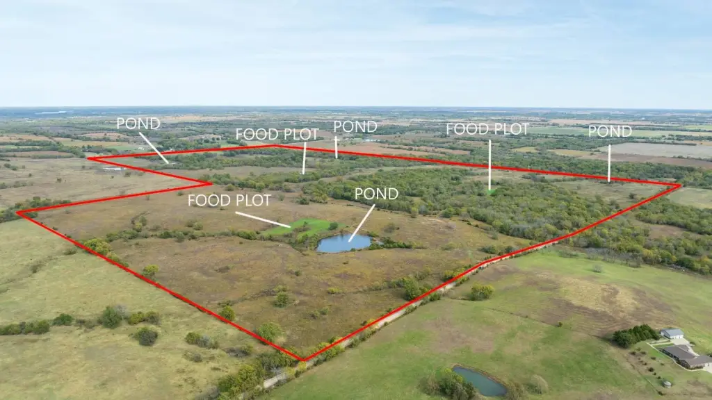
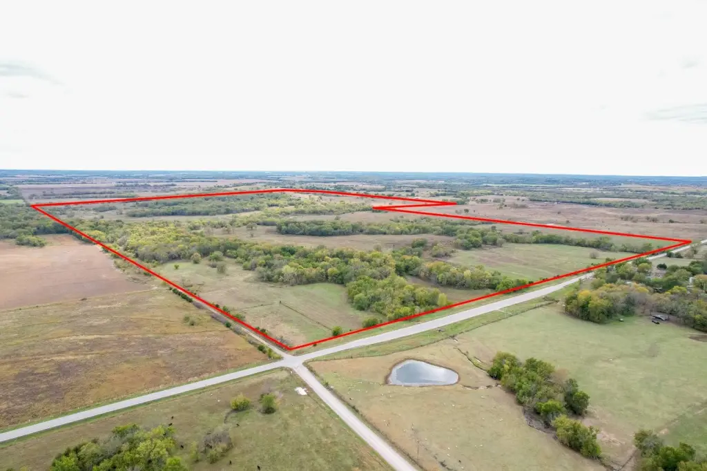
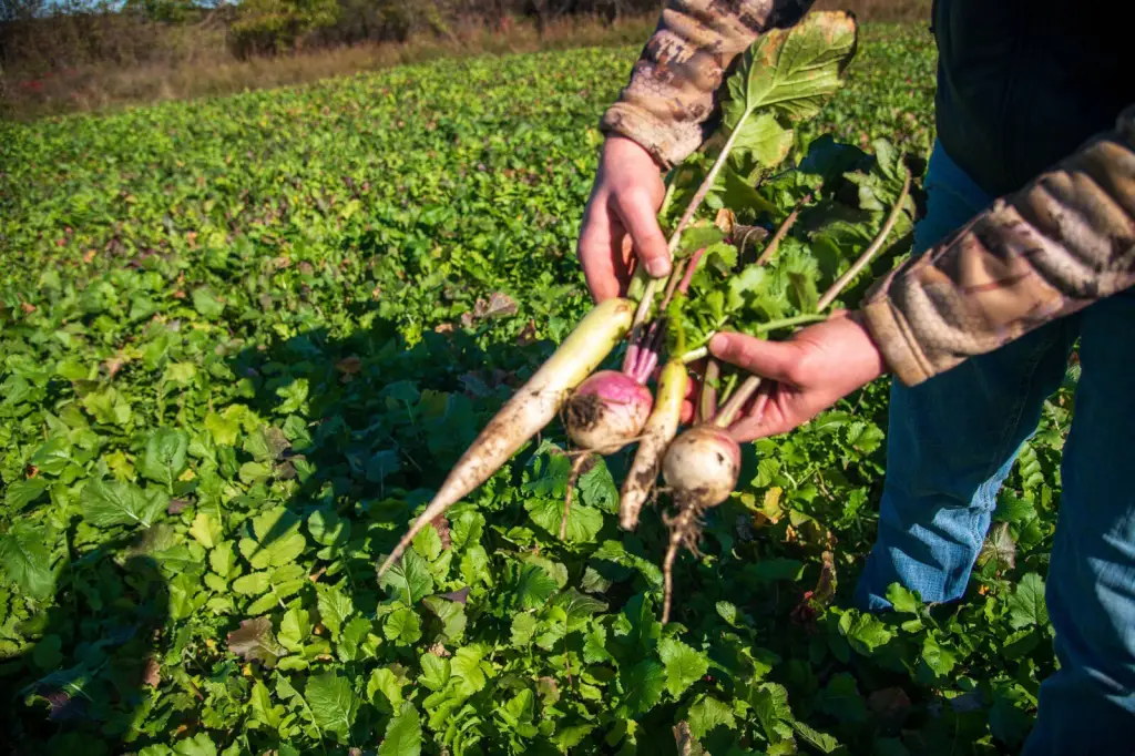
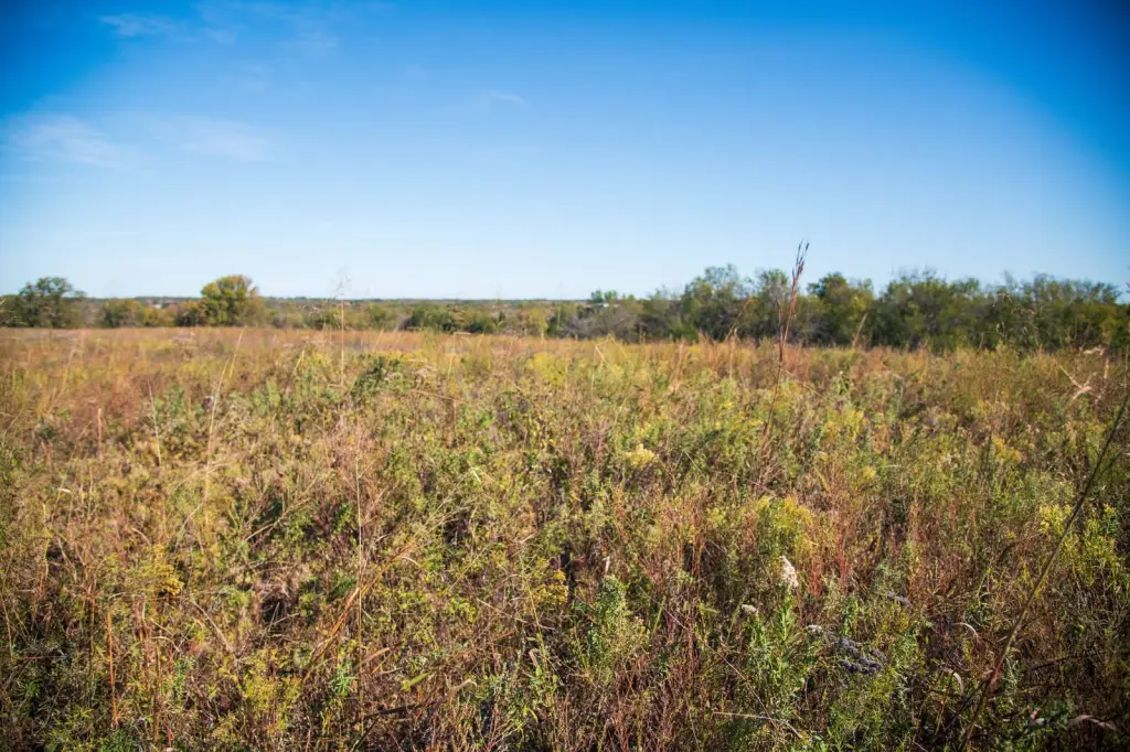
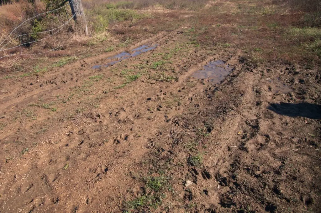
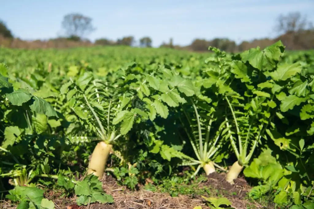
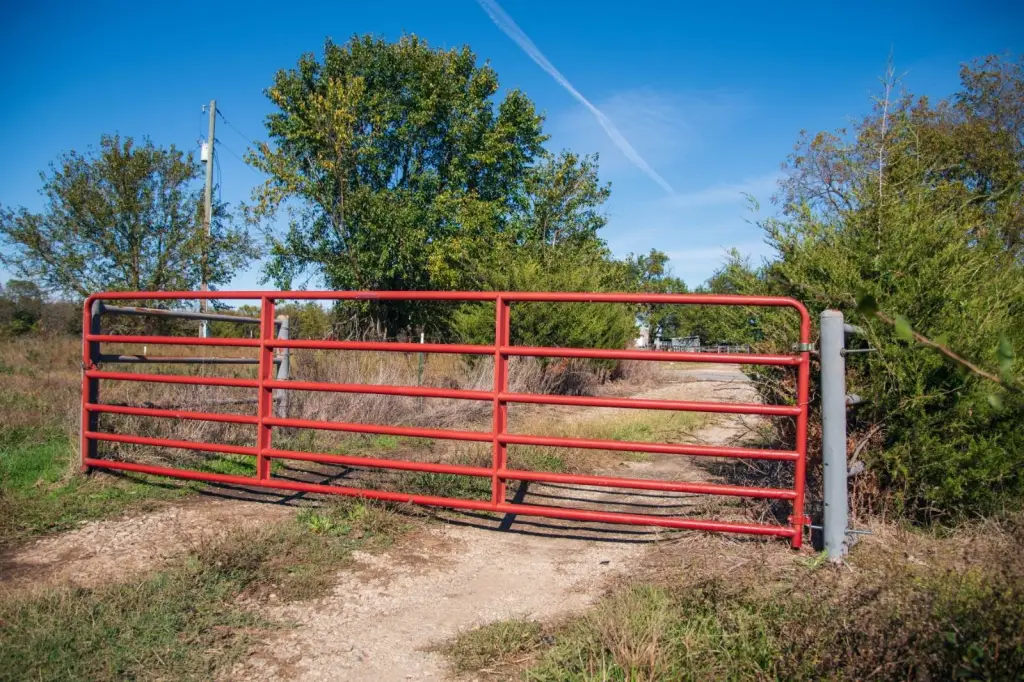
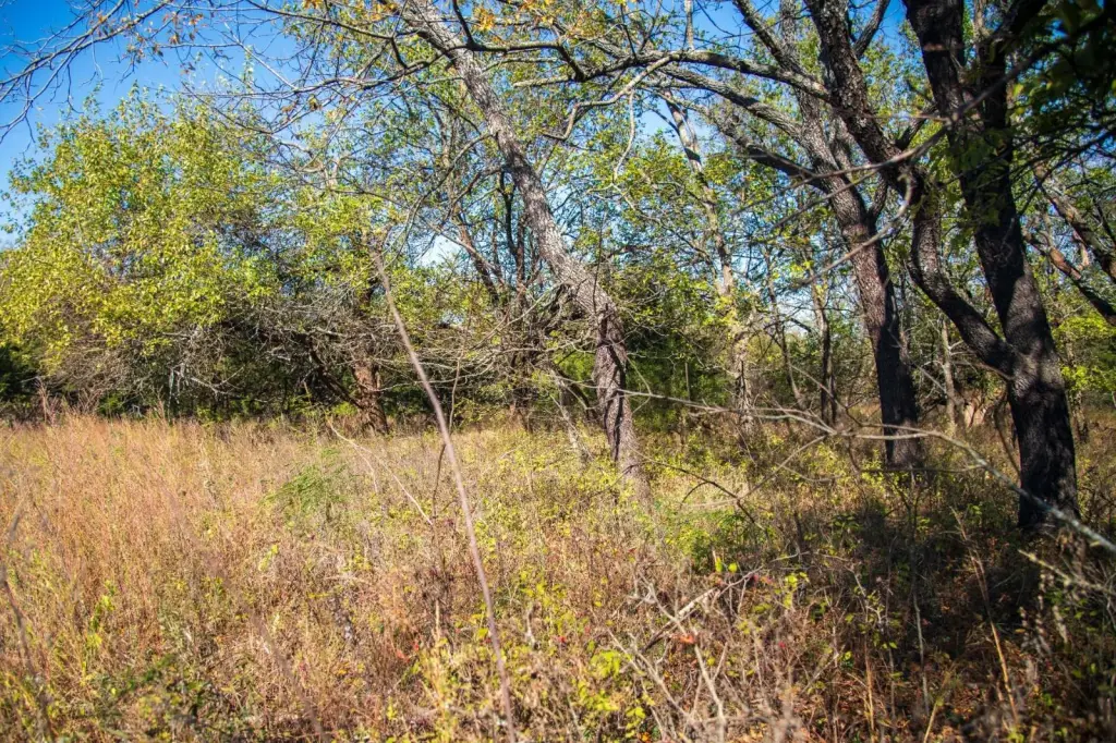
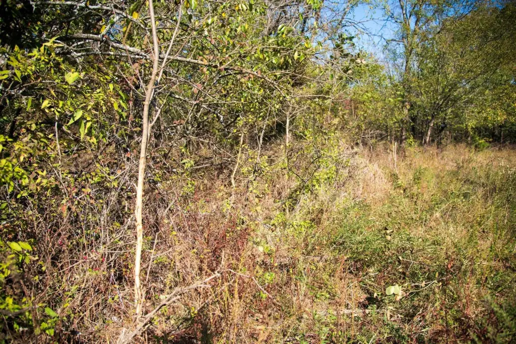
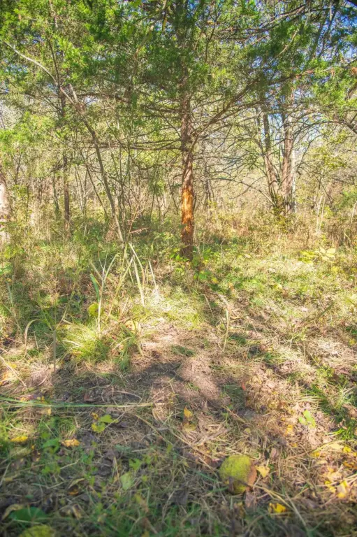
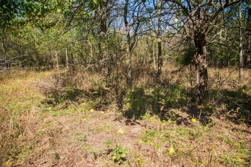
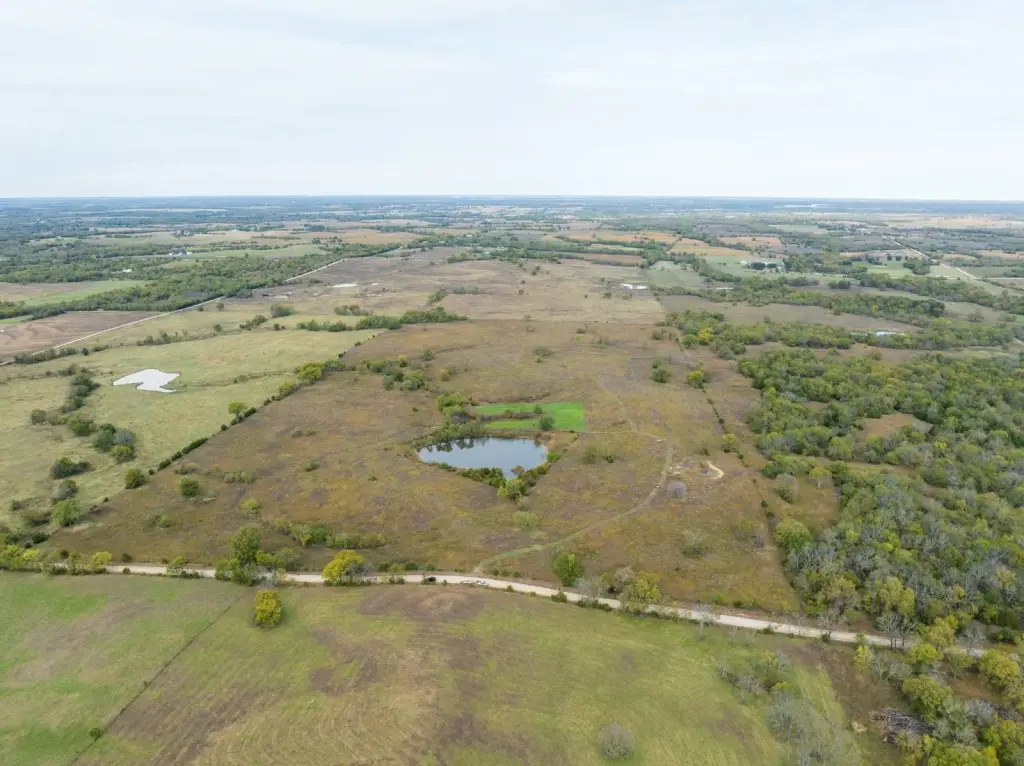
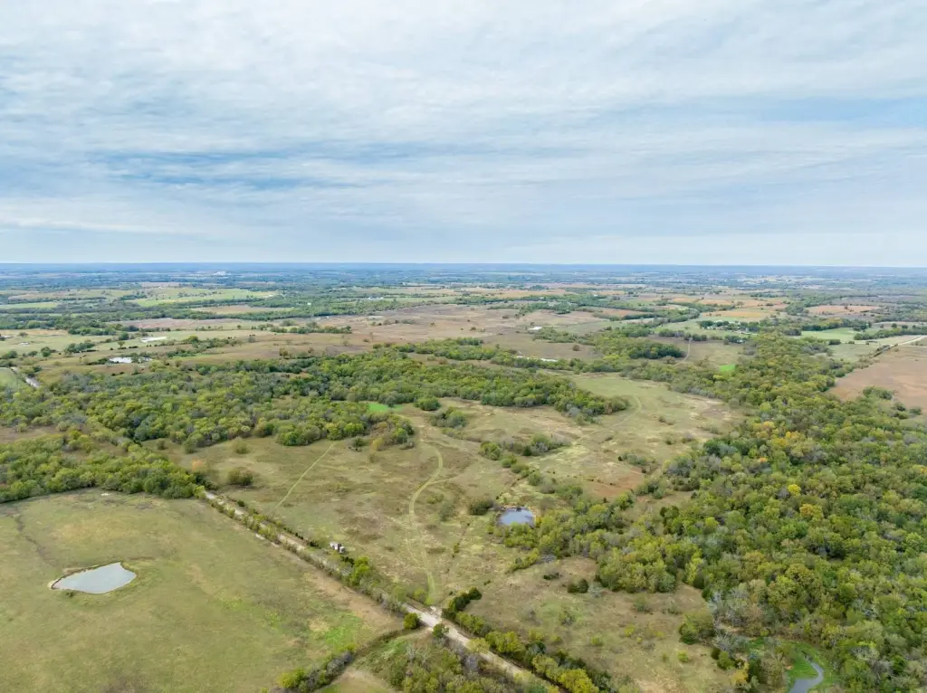
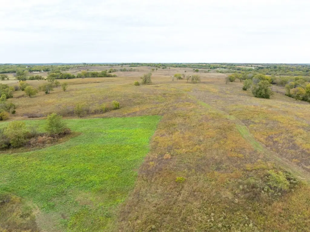
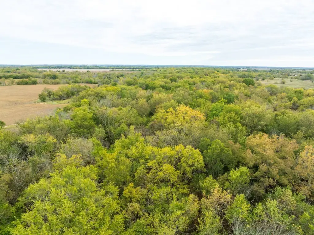
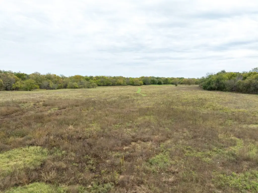
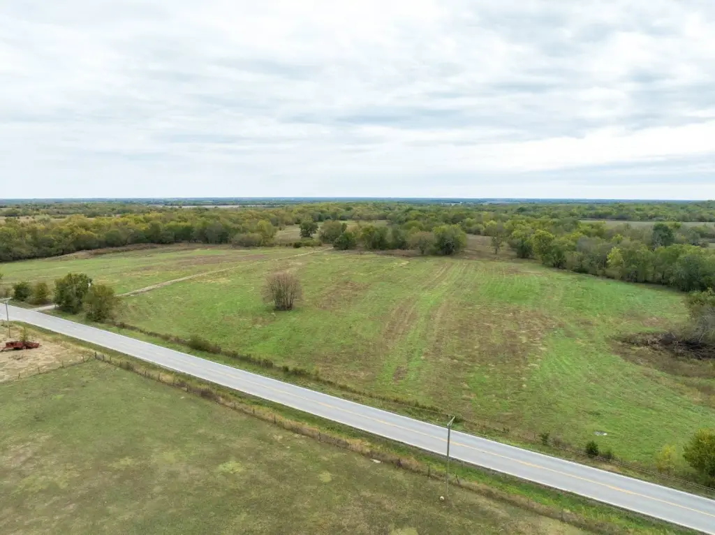
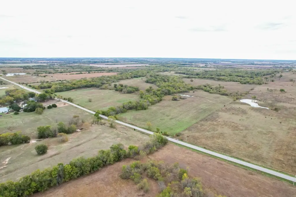
- 380+/- acre fully fenced multi‑use farm with separate southwest 80 acres and gates on both north and south sides for access.
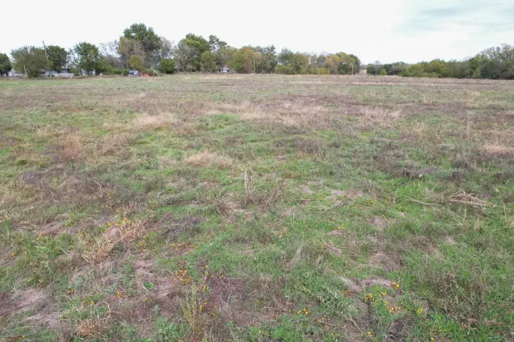
- Productive Parsons Silt Loam and Eram Silty Clay Loam soils suitable for crop production or expanding wildlife food plots.
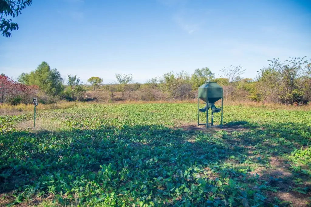
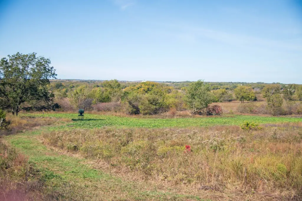
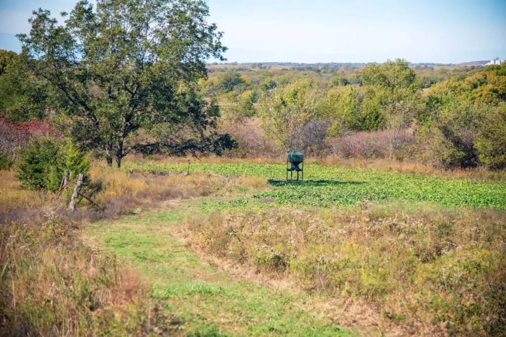
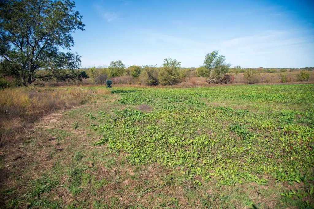
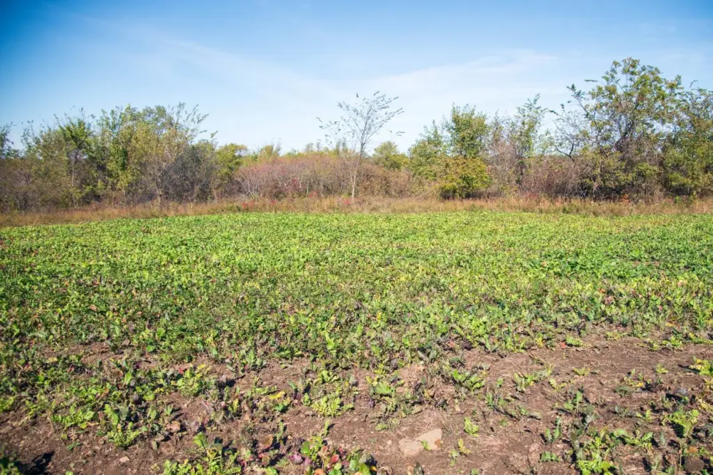
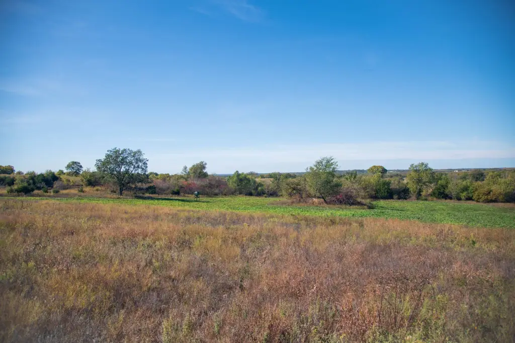
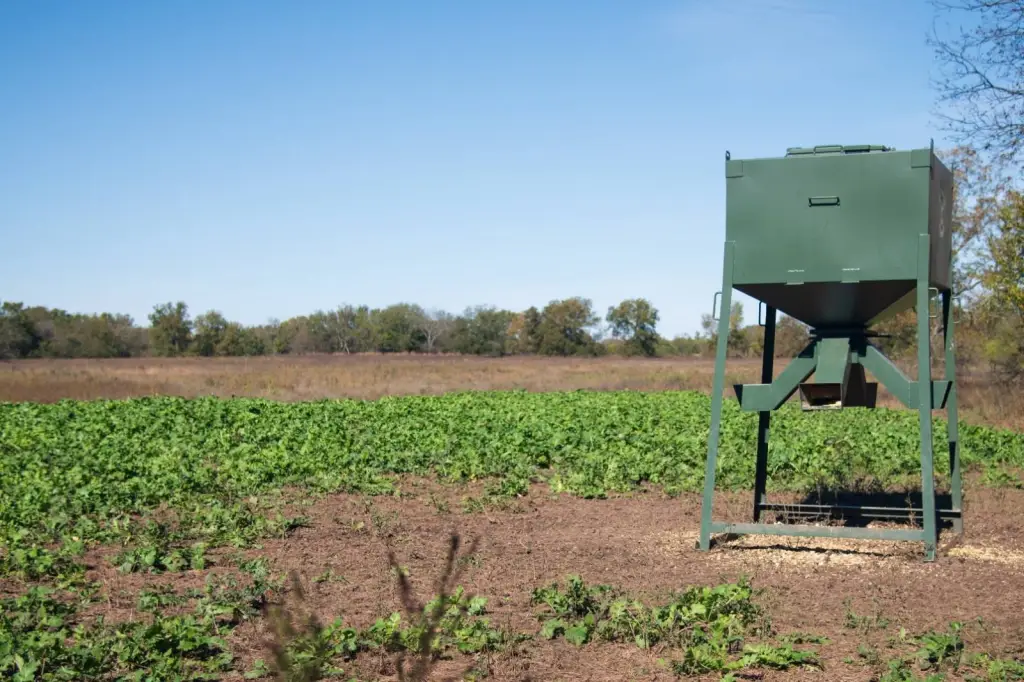
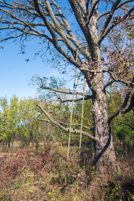
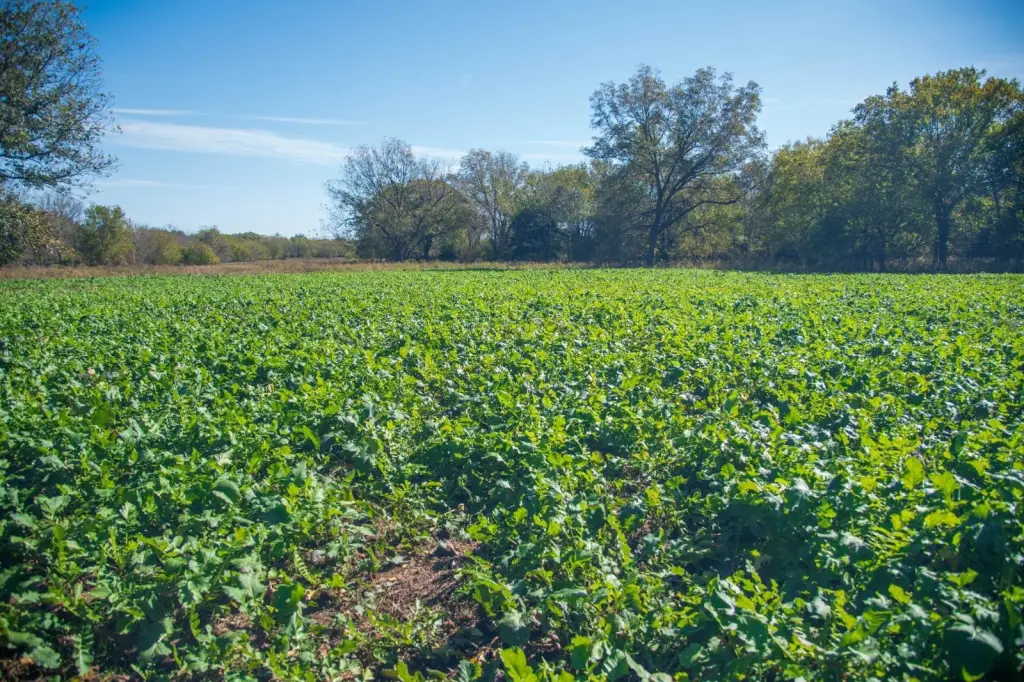
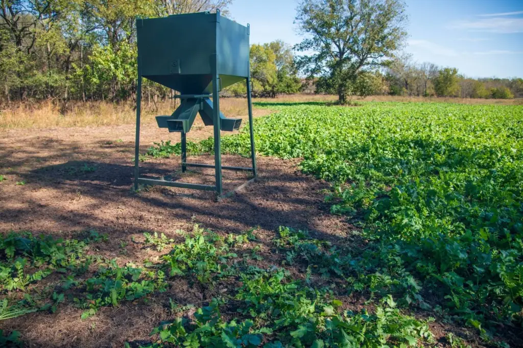
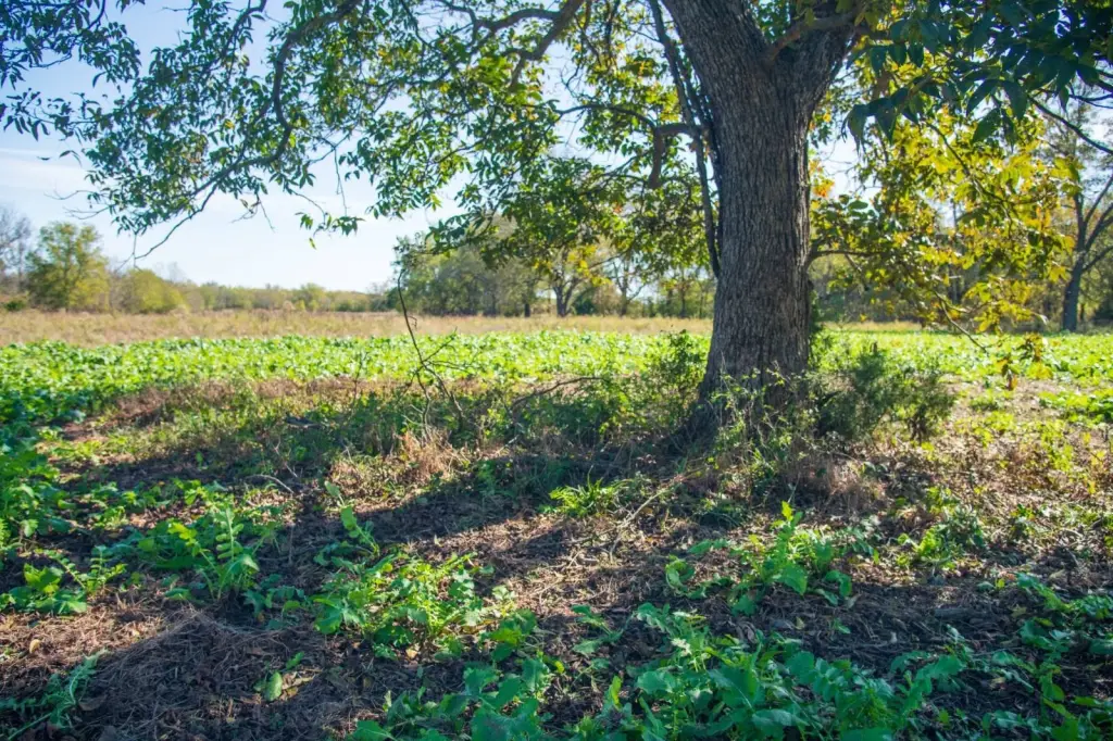
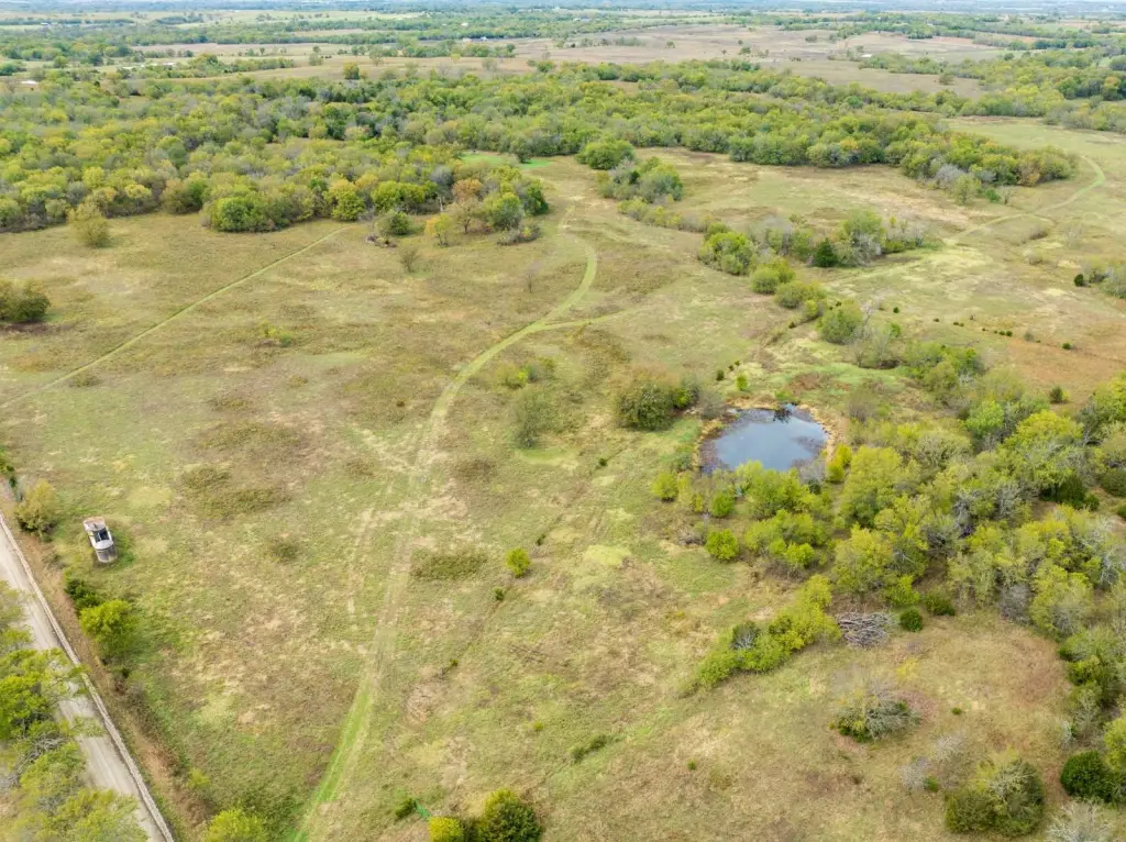
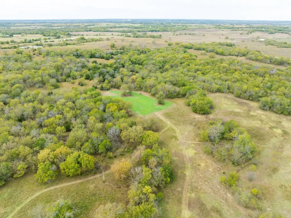
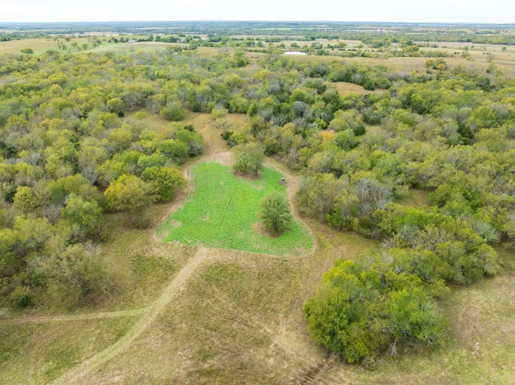
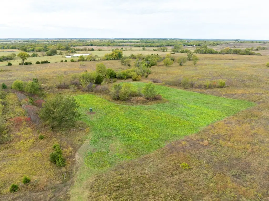
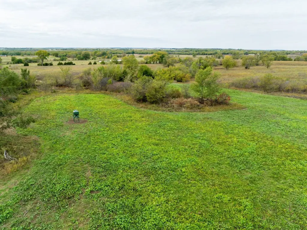
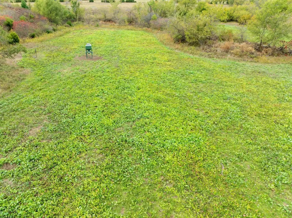
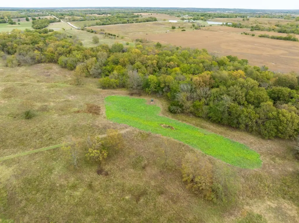
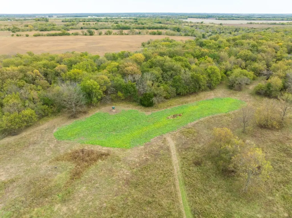
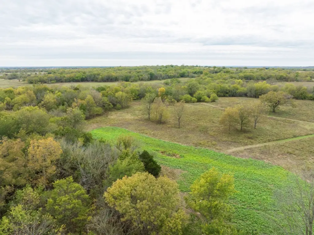
- Hunting‑ready setup with 3 established food plots, 2x 5,000 lb feeders, 1x 2,500 lb feeder, and 3 tree stands.
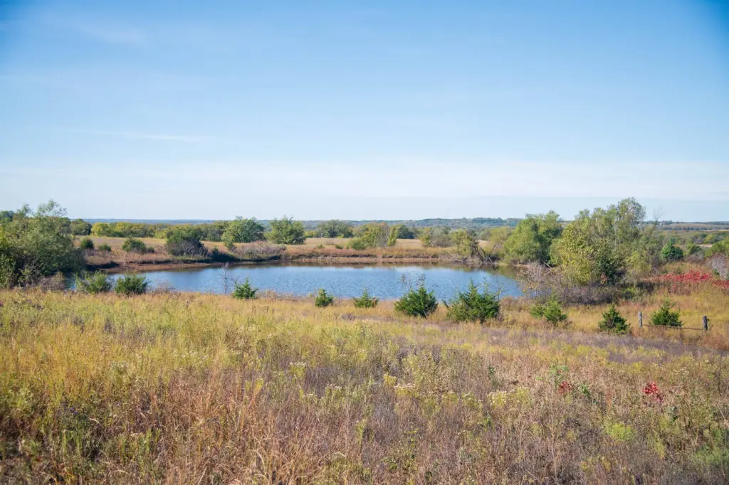
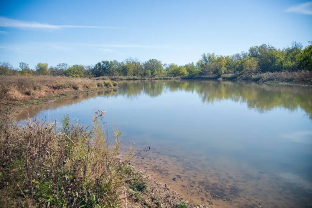
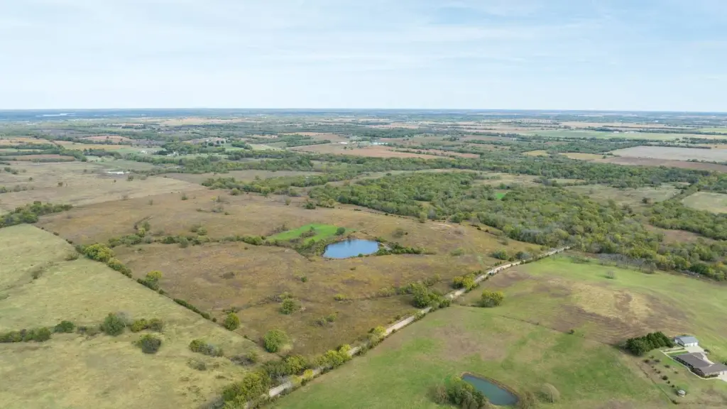
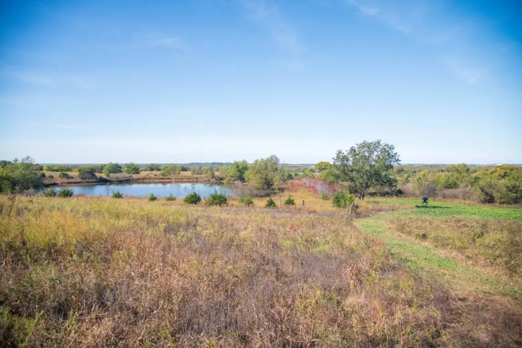
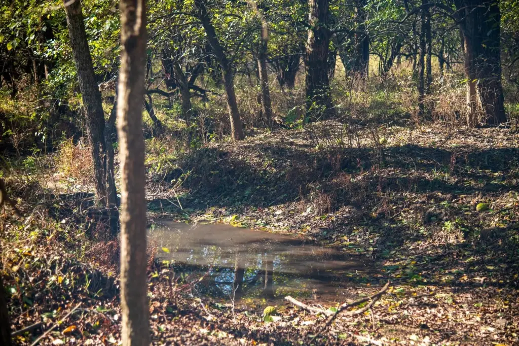
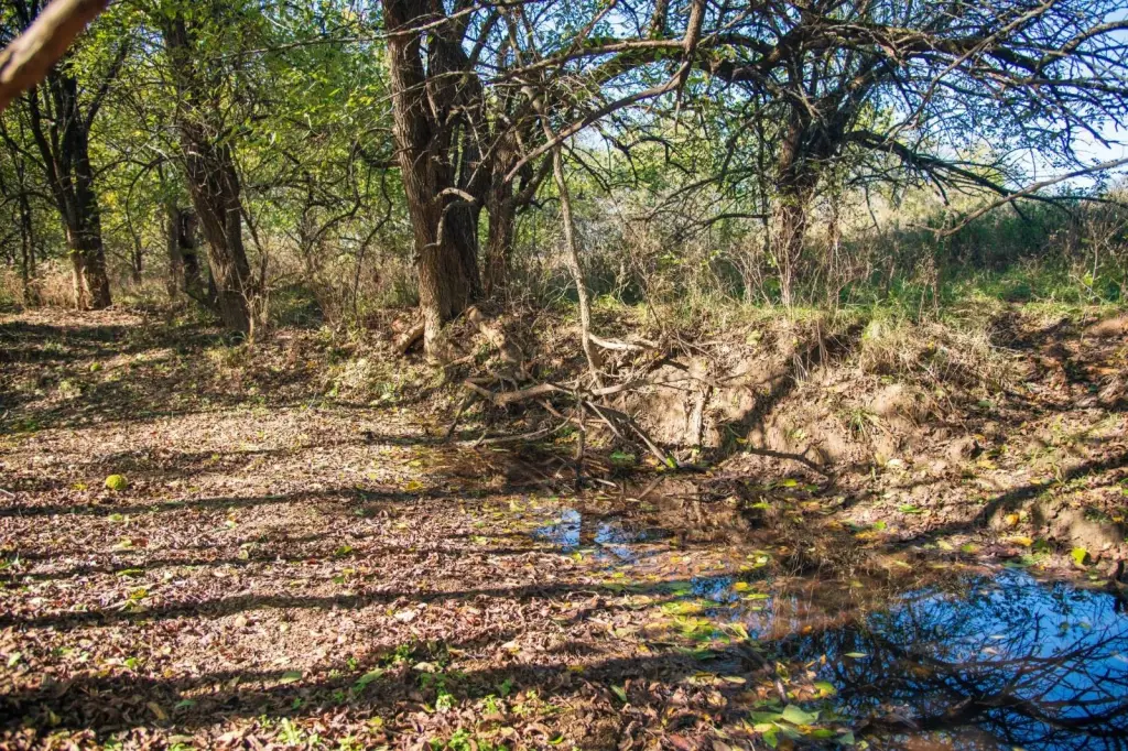
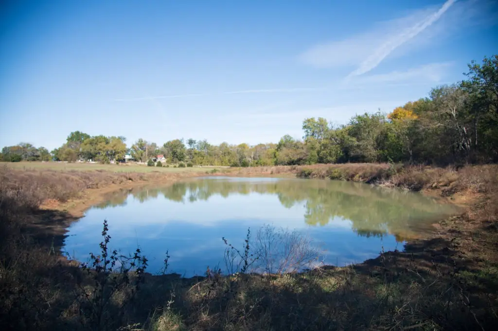
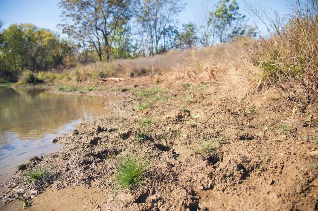
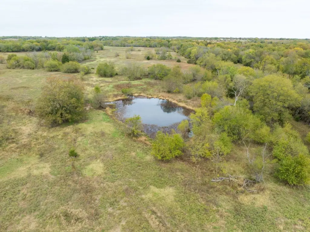
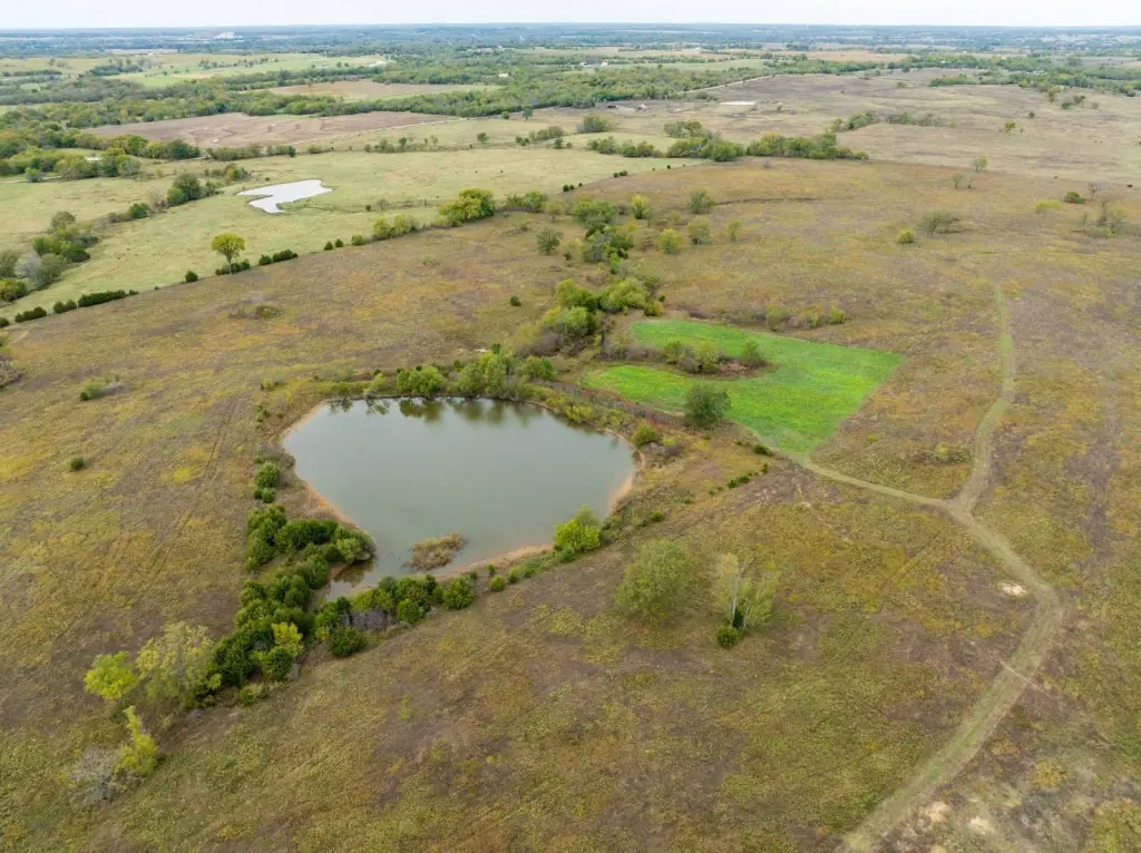
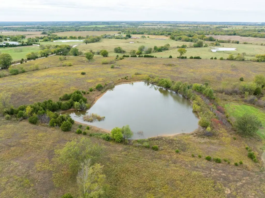
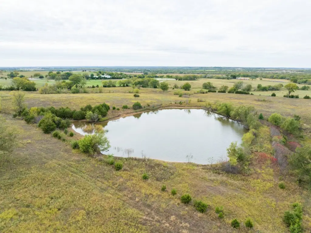
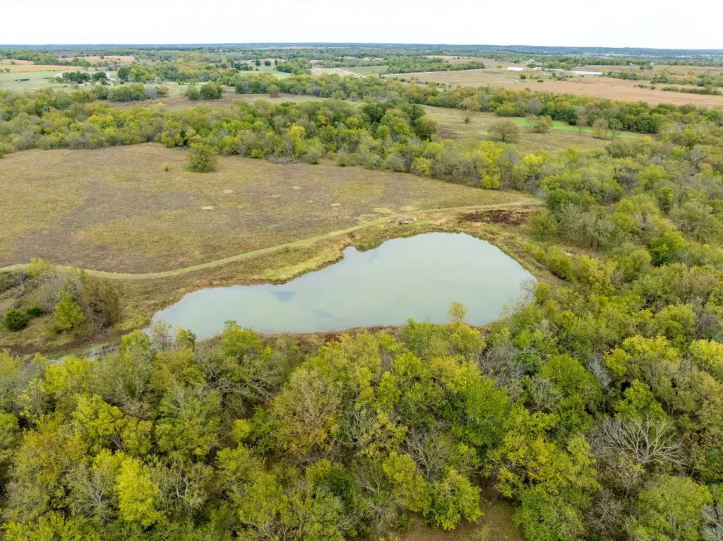
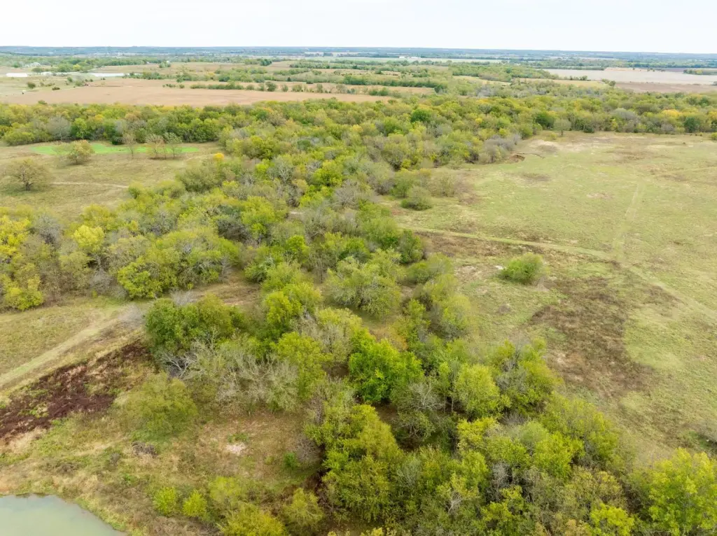
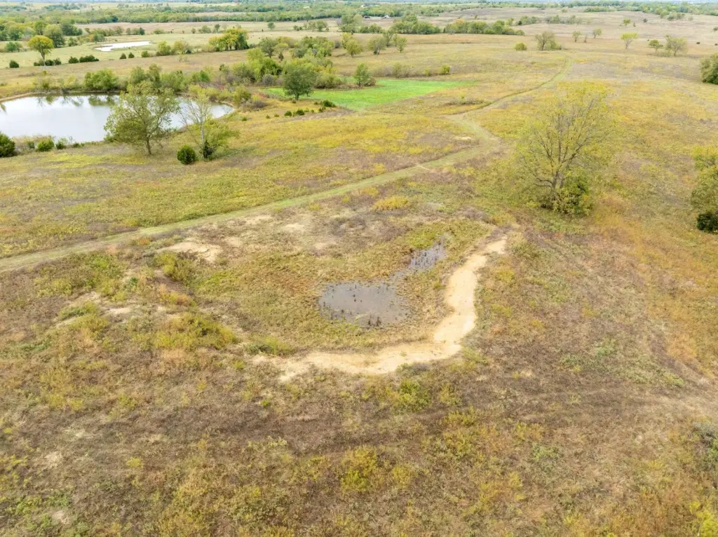
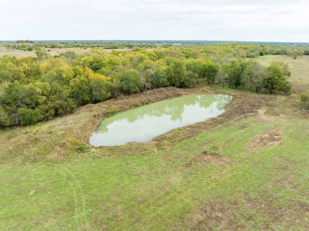
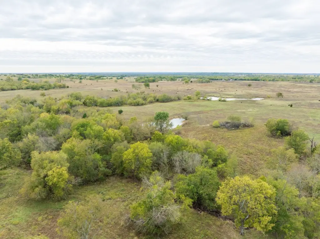
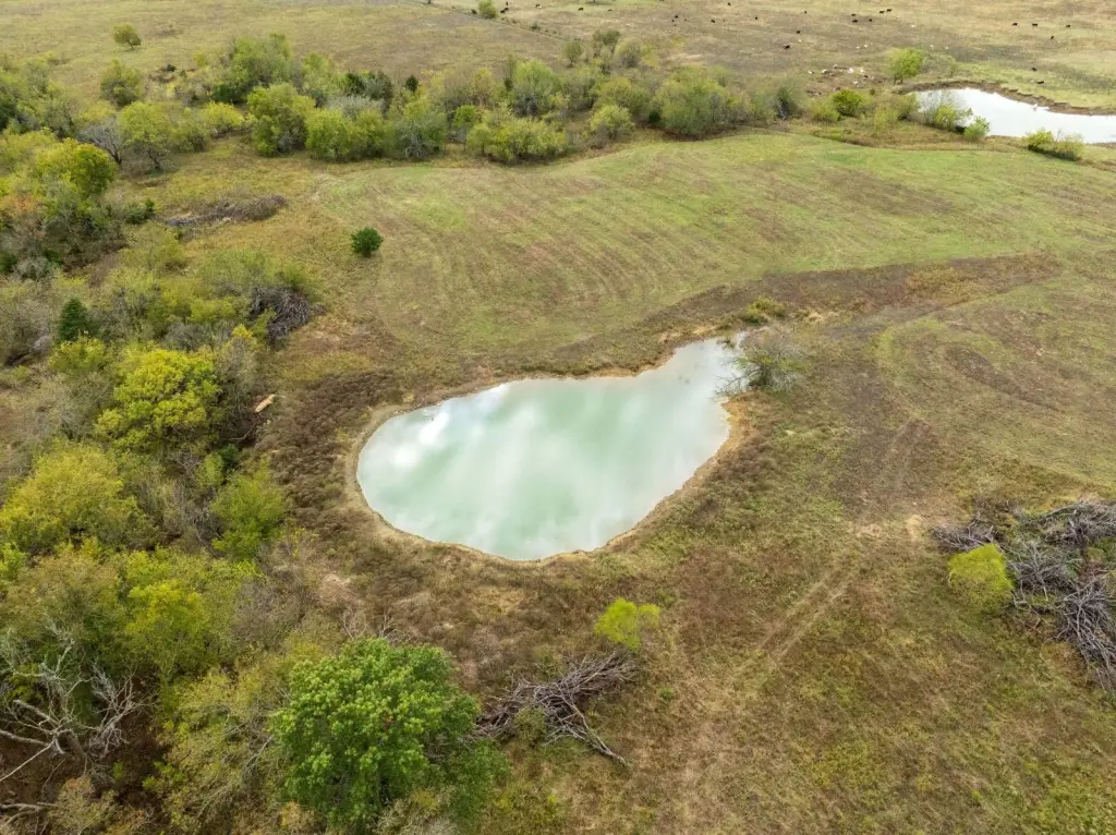
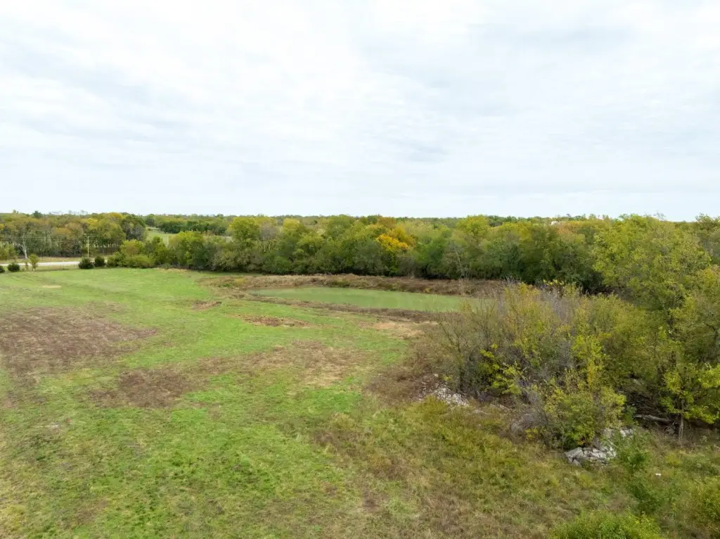
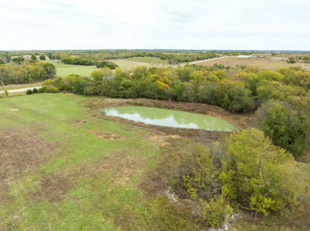
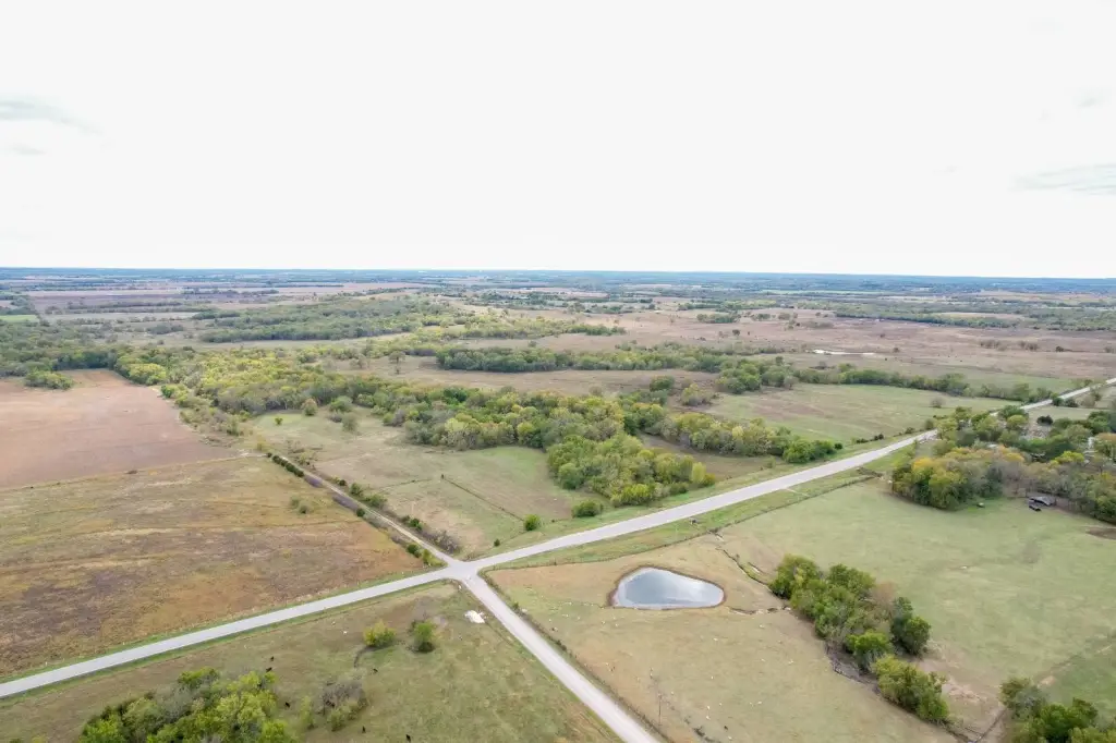
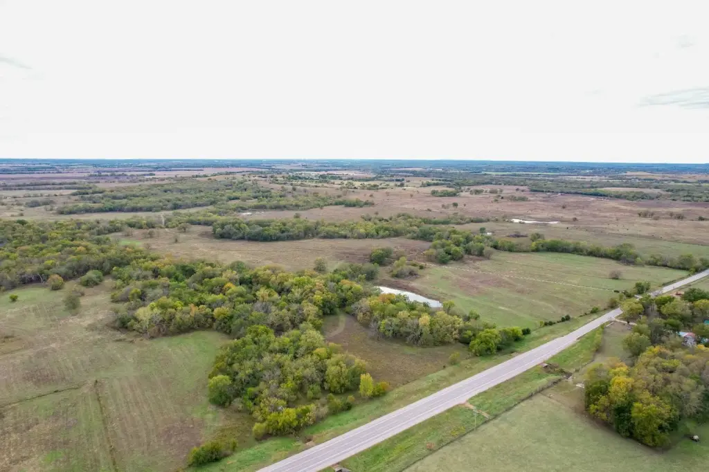
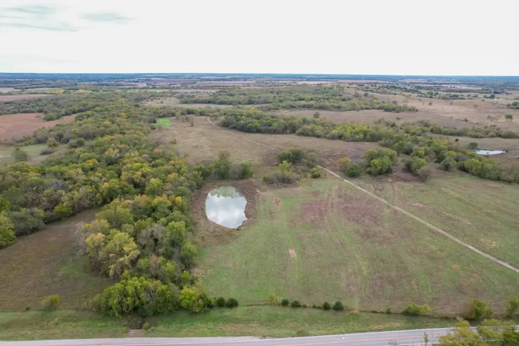
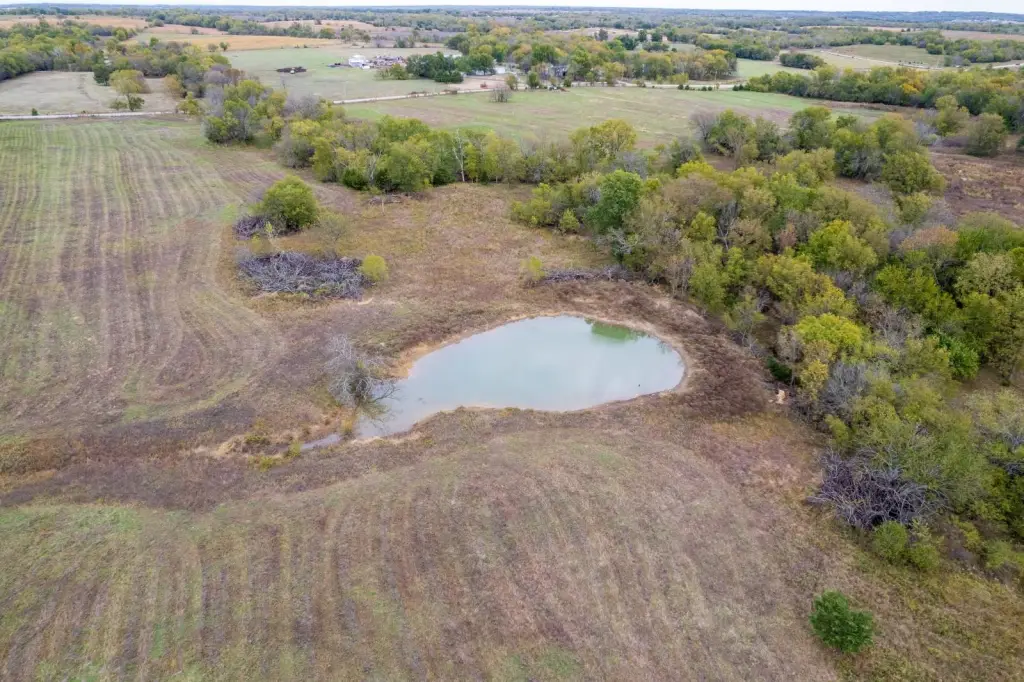
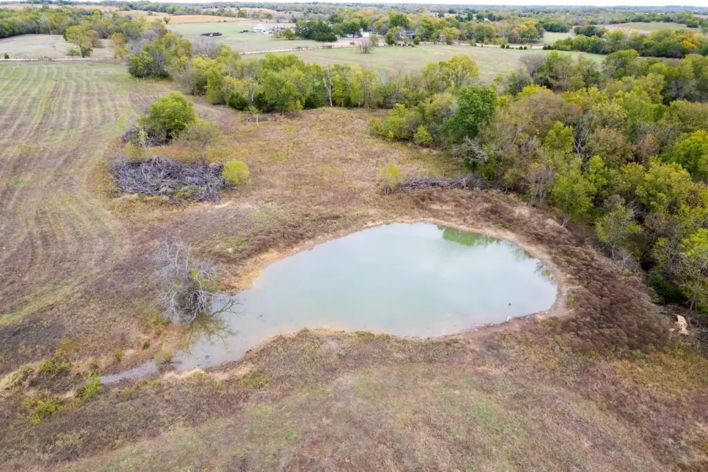
- Five ponds and three wet‑weather creeks provide year‑round water for livestock and wildlife, plus waterfowl habitat.
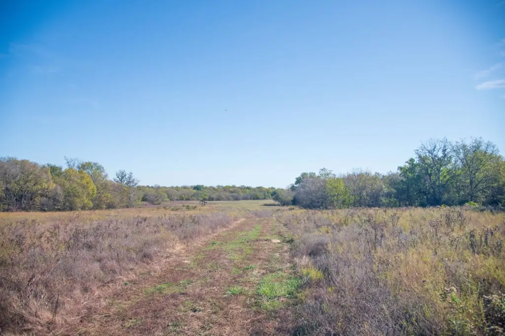
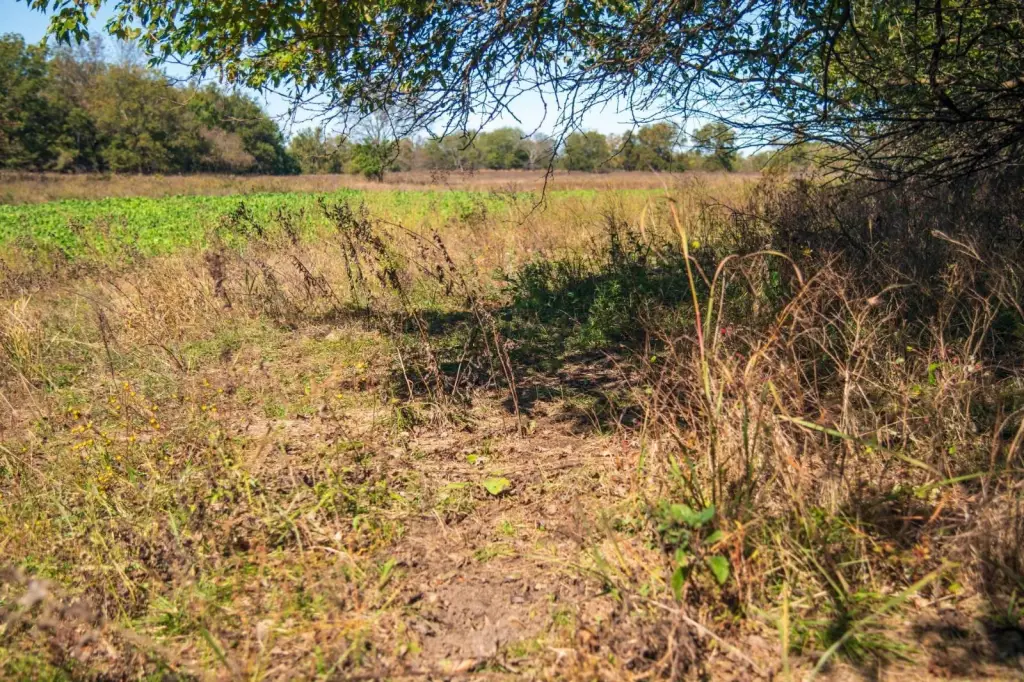
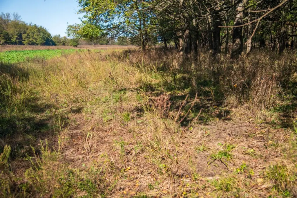
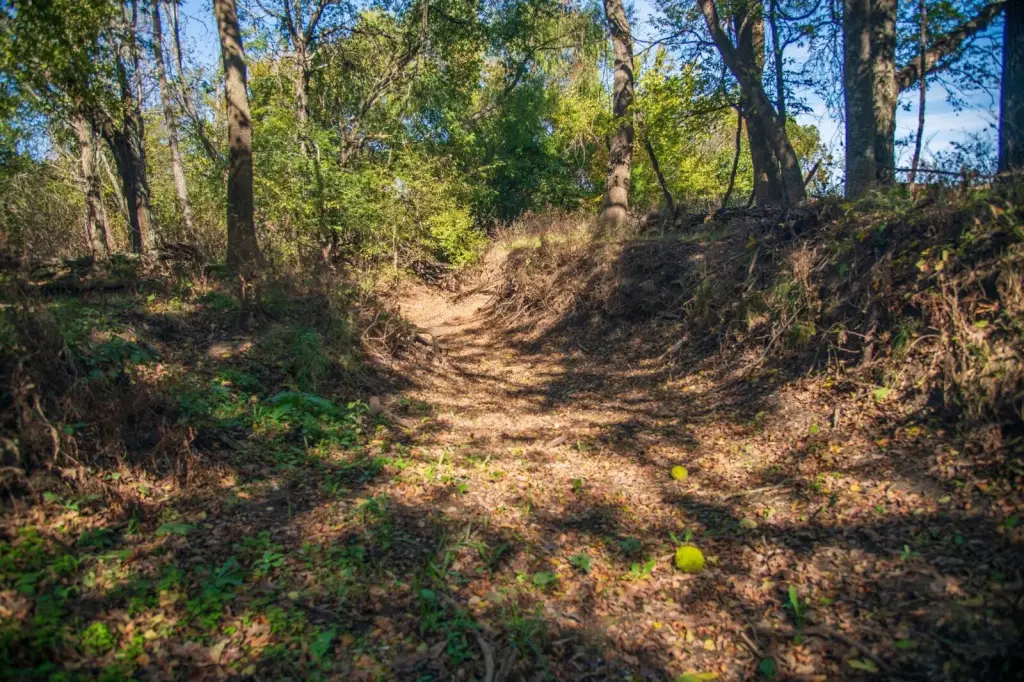
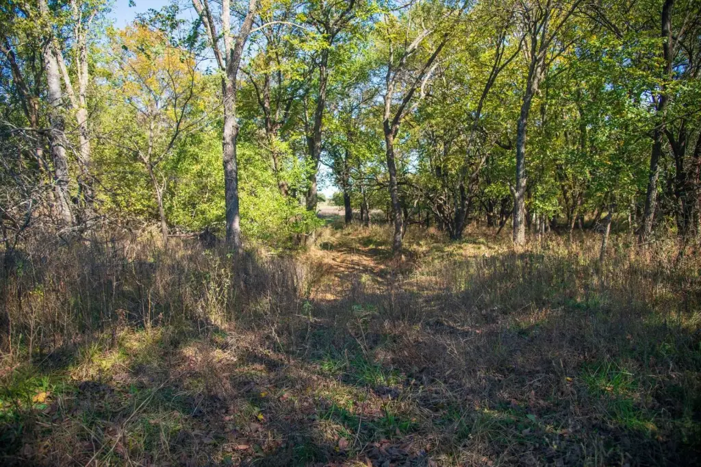
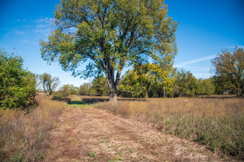
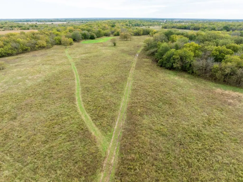
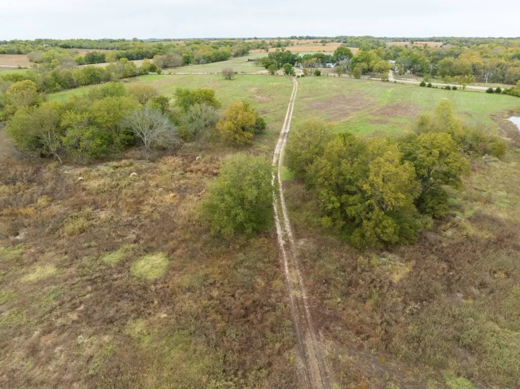
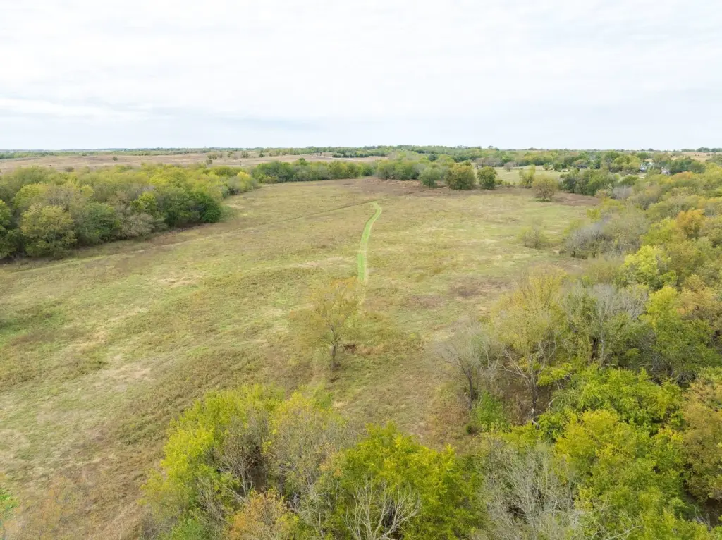
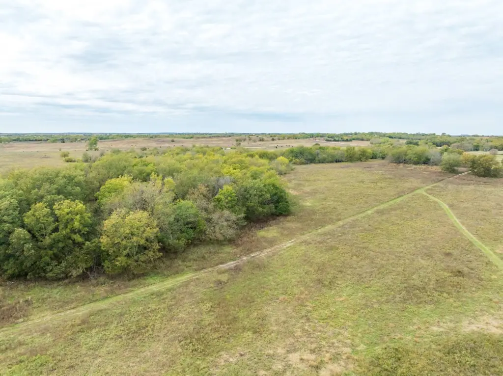
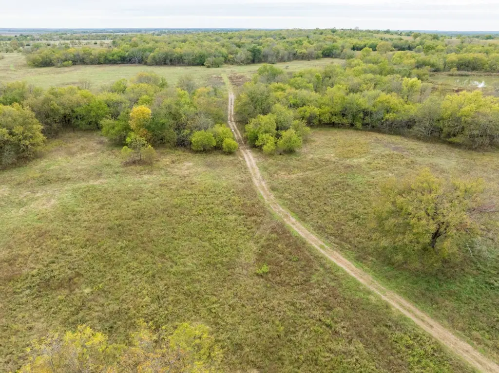
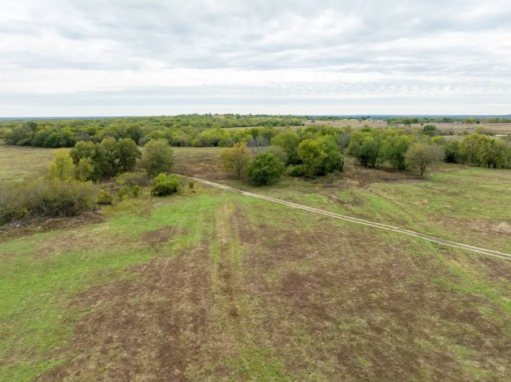
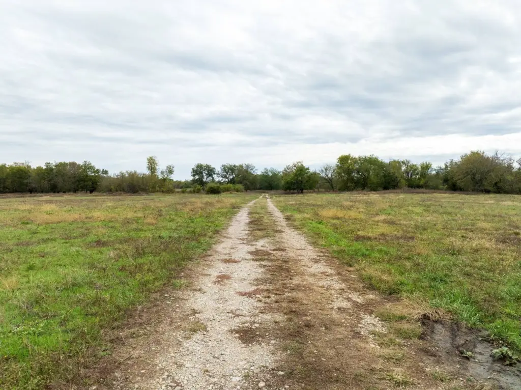
- Road frontage on both north and south sides with an established trail system providing access throughout the property.
- Utilities available on the north side; mineral rights transfer with the sale.
Overview
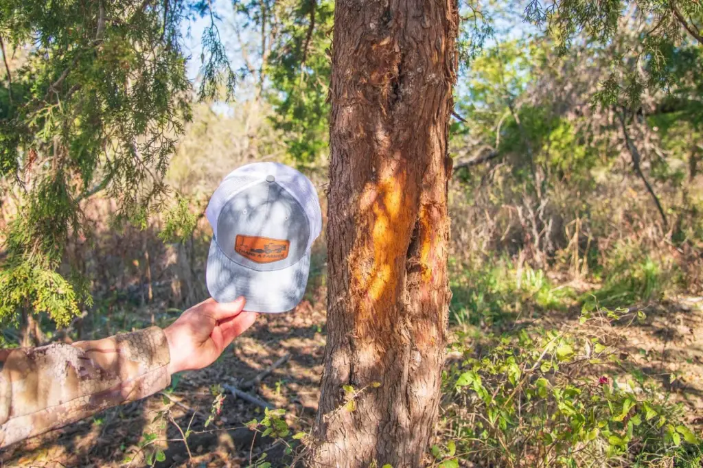
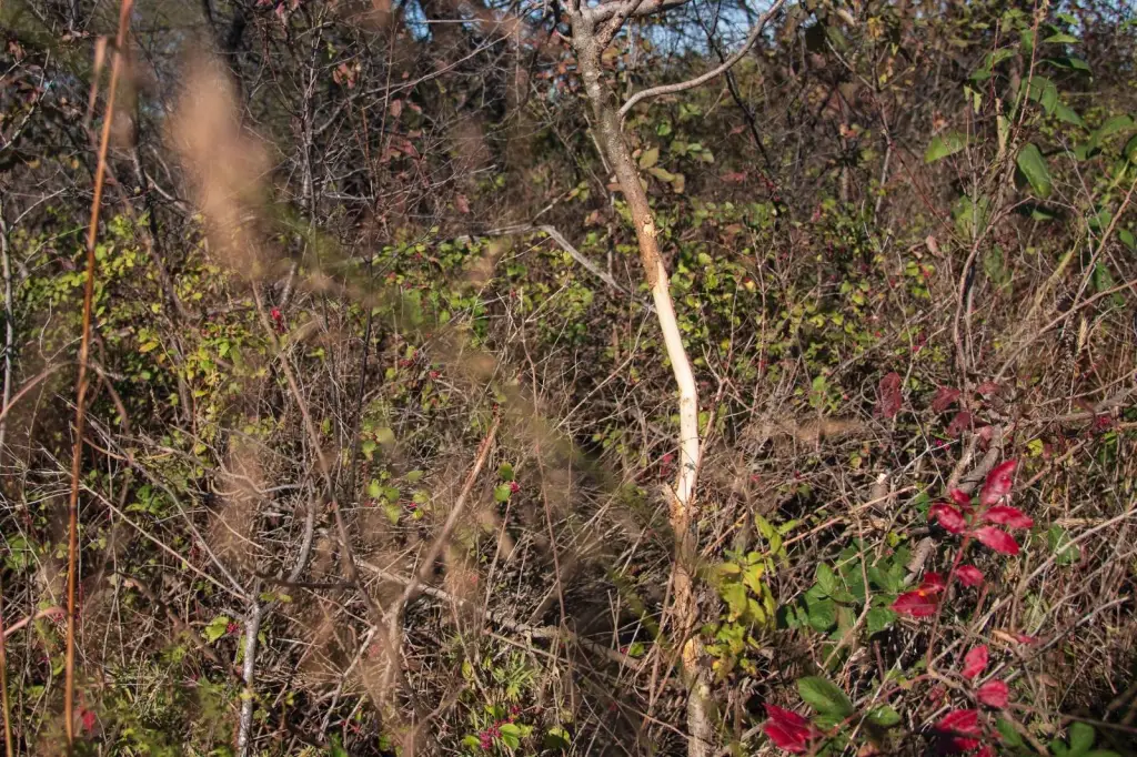
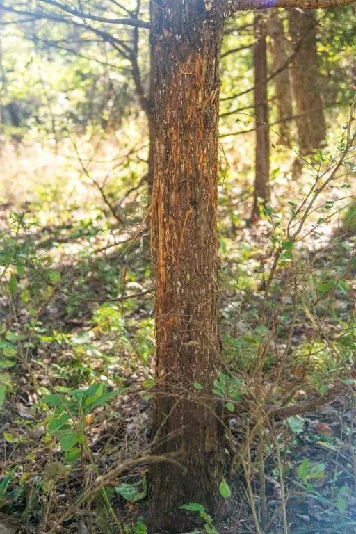
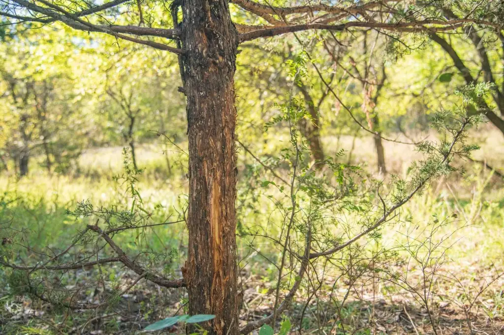
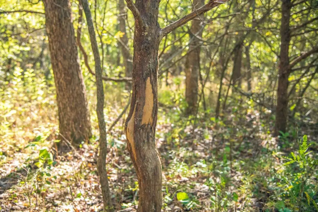
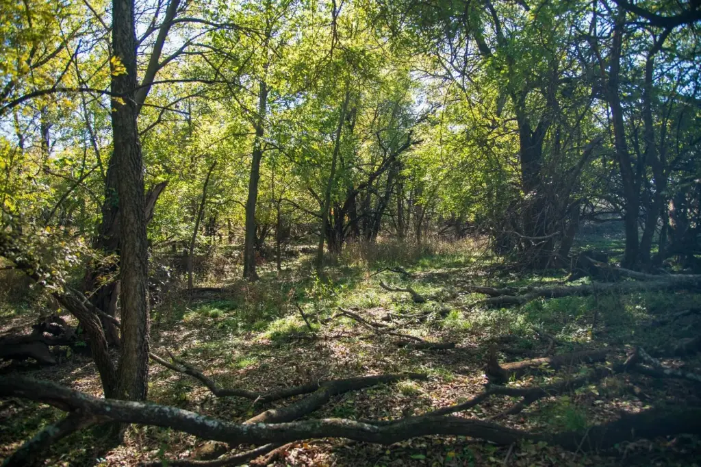
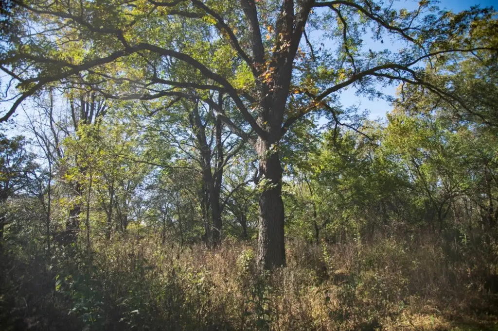
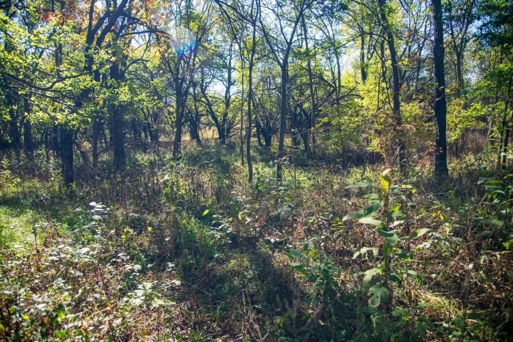
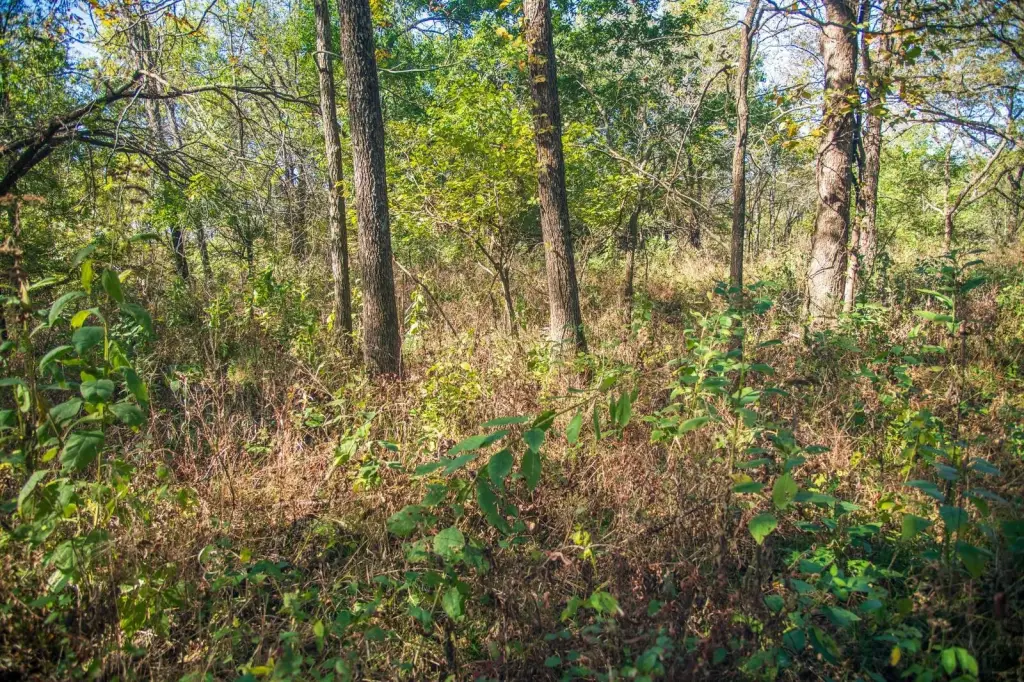
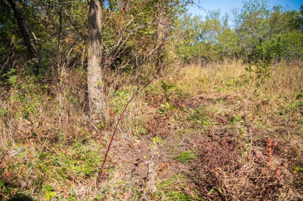
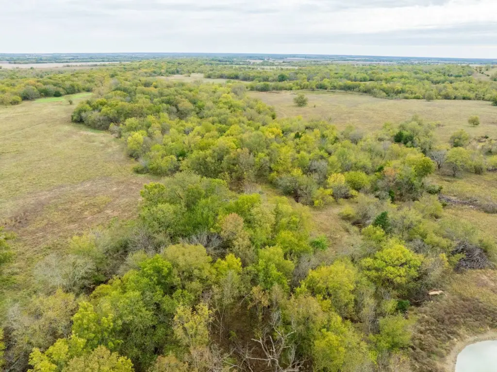
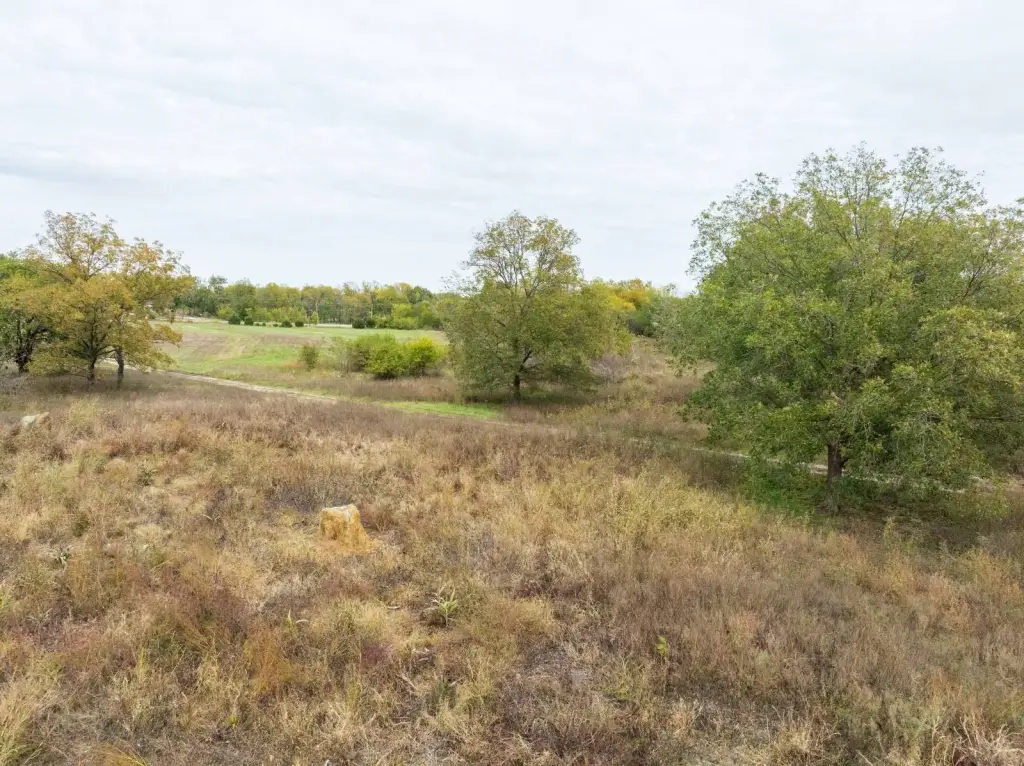
The land is set up for year-round hunting and wildlife management, with three established food plots, two 5,000 lb feeders, one 2,500 lb feeder, and three tree stands. Deer and turkey populations are supported across the property, and trail camera photos are available upon request. Water is distributed throughout the landscape with five ponds and three wet-weather creeks, creating conditions that also support waterfowl habitat.
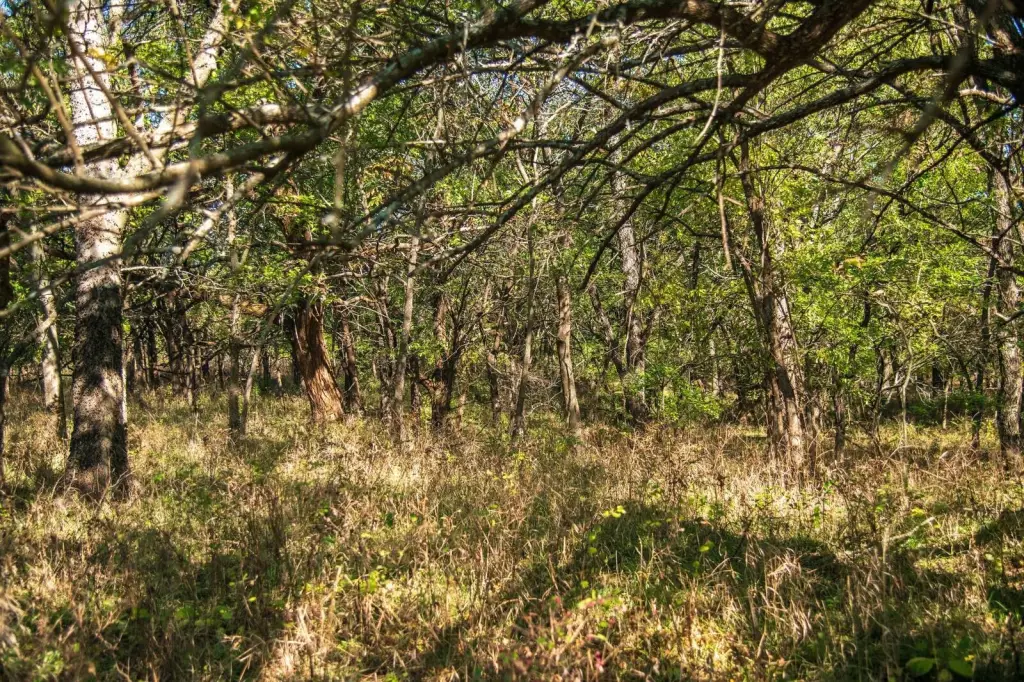
Access is supported by road frontage on both the north and south sides, along with a well-maintained trail system that provides access to different parts of the farm. Utilities are available on the north side, which can support a future home, hunting cabin, or weekend retreat. Mineral rights will transfer with the sale, and the rolling terrain and scenic views round out a functional, all-in-one setting for livestock, hunting, or weekend use.
Current Use by Public Records
Map
- City
- Mound Valley
- County
- Labette
- State
- Kansas
- Longitude
- -95.49249
- Latitude
- 37.1841


