Highway Accessible Land Near
Unassigned lot Minot Radar Base Rd, Max, ND 58759
- Added:
- Mar 19, 2026
- Days on Market:
- 74
- Last Refresh:
- May 31 at 5:06 pm
Property Features for Unassigned lot Minot Radar Base Rd
General Information
- Property type
- Commercial Sale
- Property subtype
- Other
- Standard status
- Active
- APN
- Multiple
- Lot size
- 99.55 Acres
Taxes and HOA fees
- Tax Year
- 2024
- Tax Description
- Multiple. See Associated docs for legals & parcels.

Listing agent BECKY BERTSCH (701) 852-1156
Listing office Better Homes and Gardens Real Estate Watne Group 408 N Broadway, Minot, ND (701) 852-1156
Listing date Mar 19, 2026
MLS# 250969
Listing URL
Copyright © 2026 Minot Board of REALTORS. All rights reserved. All information provided by the listing agent/broker is deemed reliable but is not guaranteed and should be independently verified.
HighLights
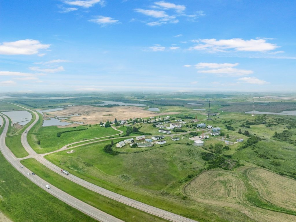
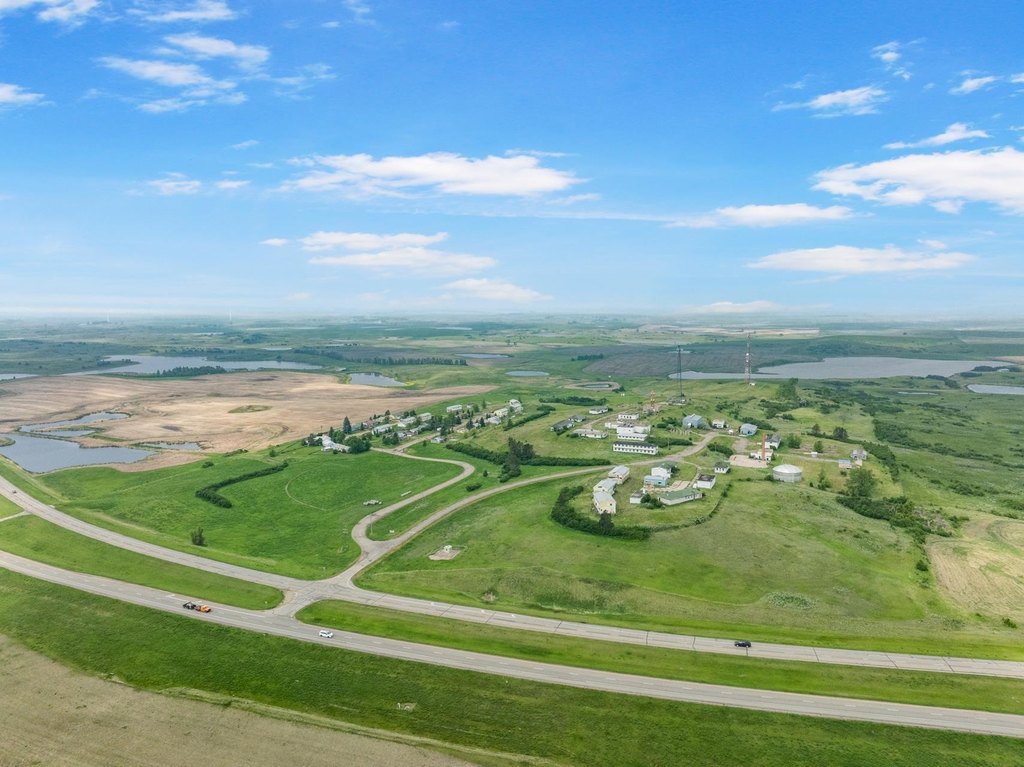
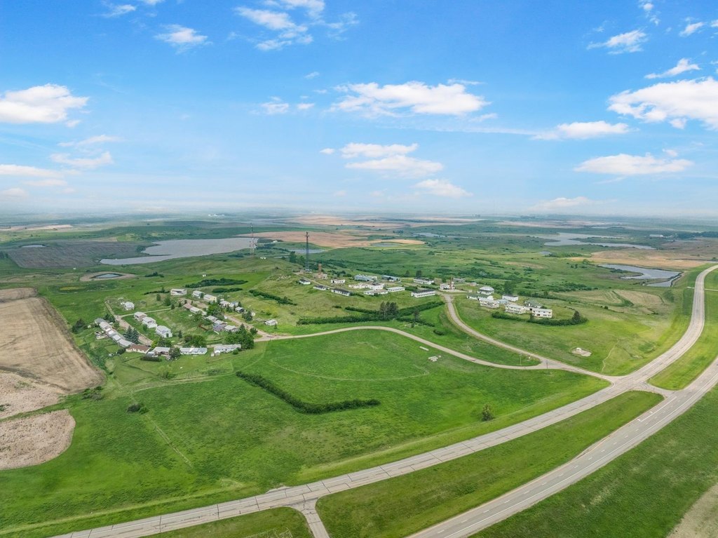
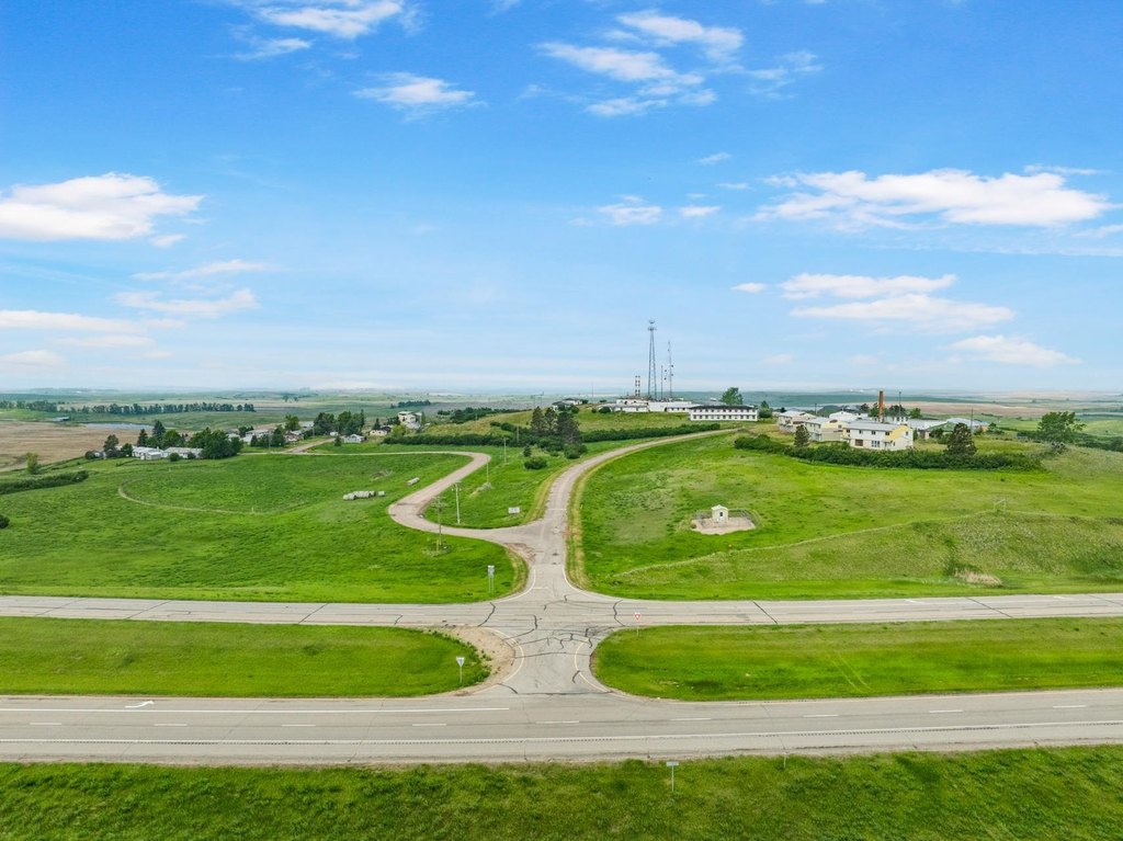
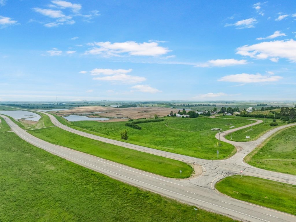
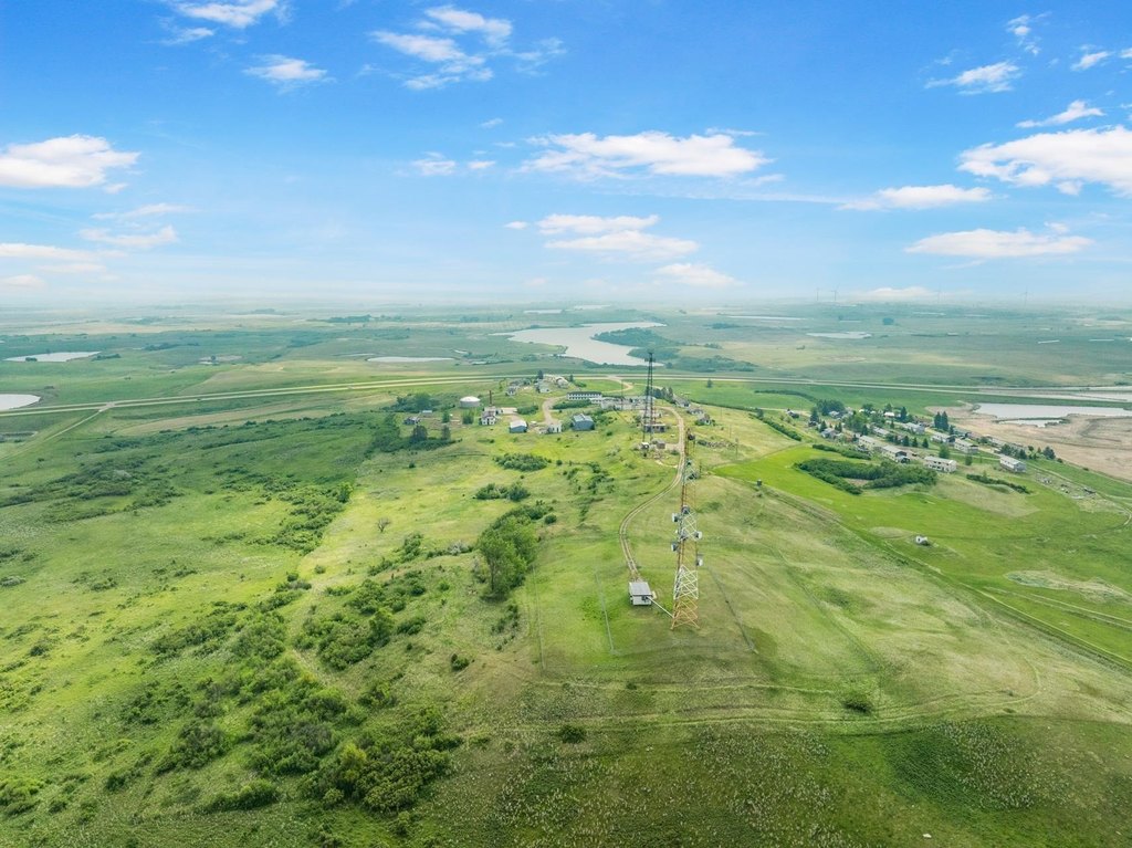
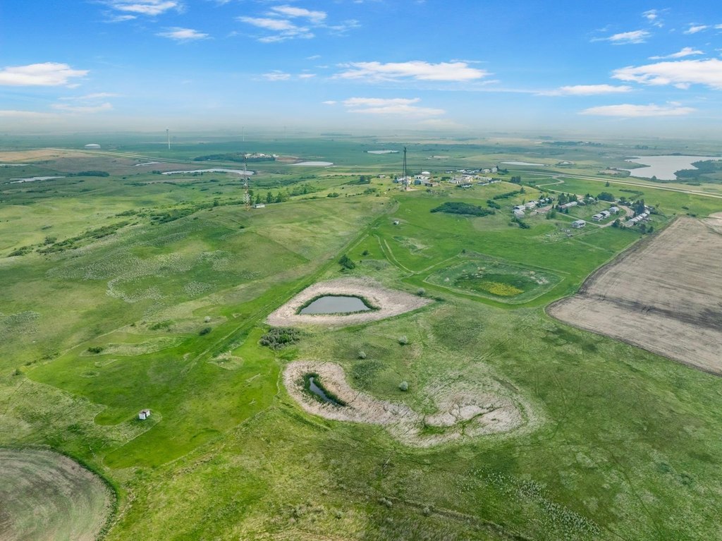
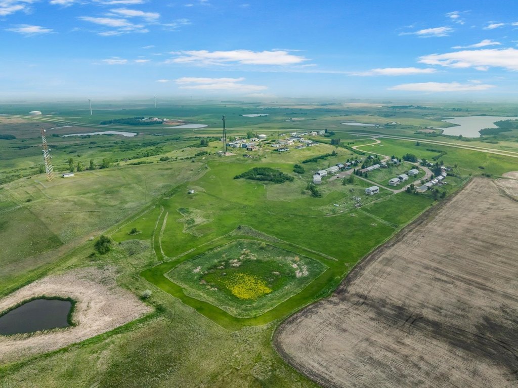
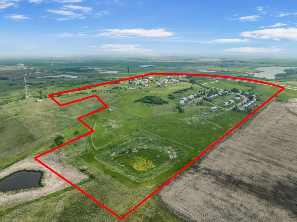
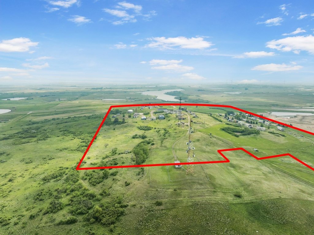
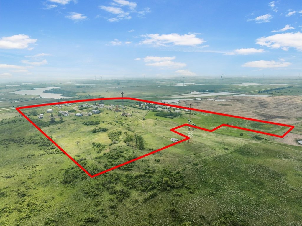
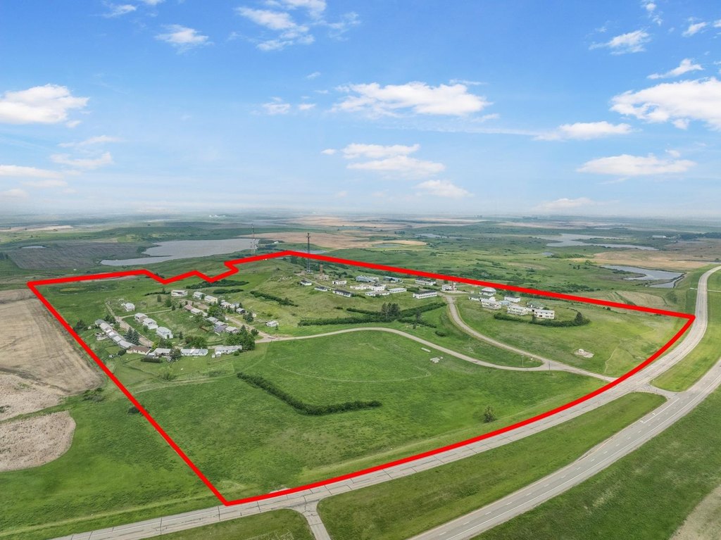
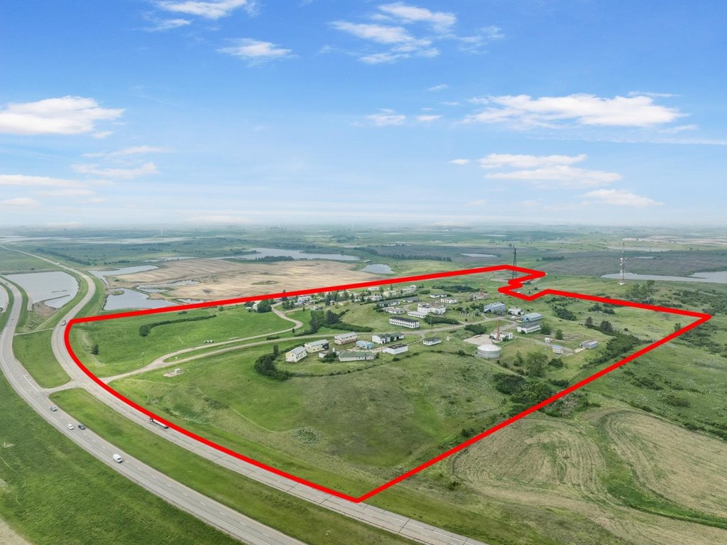
- Nearly 100 acres of land with Highway 83 frontage.
- All major utilities (MDU gas, North Prairie Rural Water, Verendrye Electric) are already in place.
- Exceptional development potential for residential, commercial, industrial, or mixed‑use.
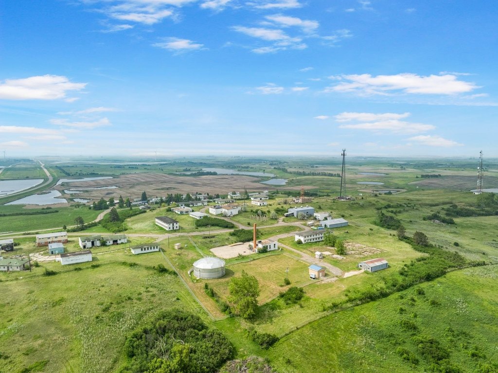
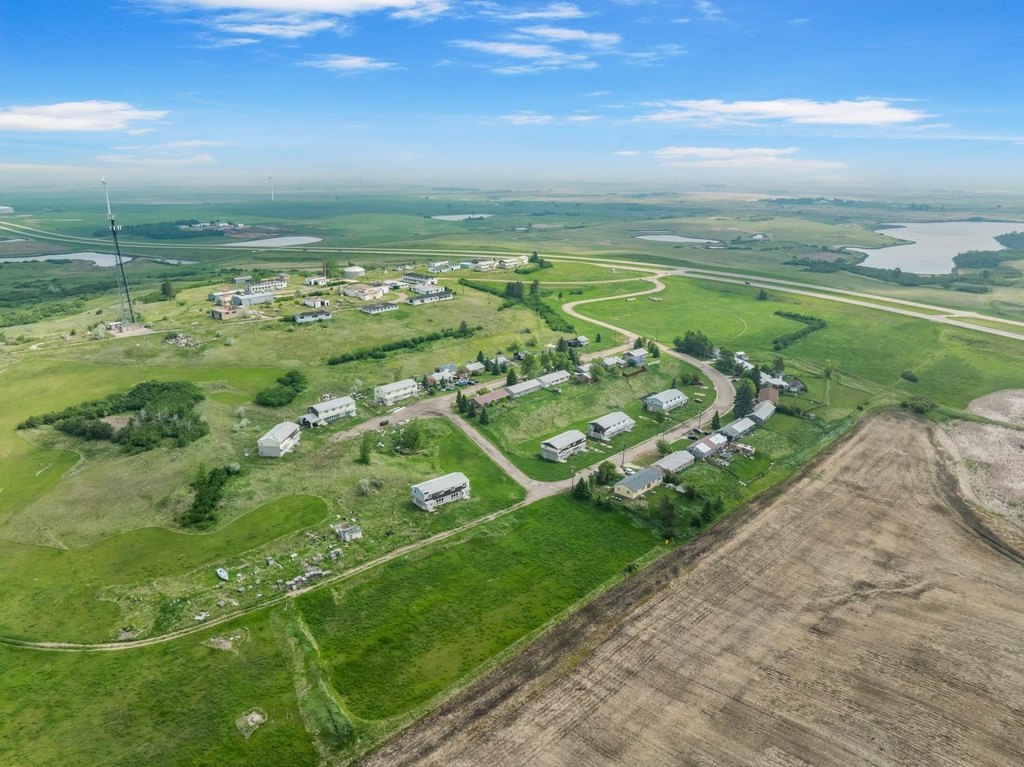
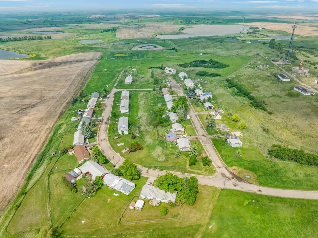
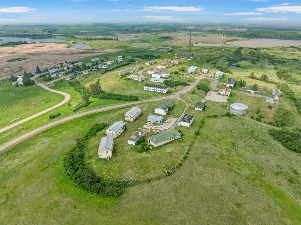
- Includes existing residential units owned by the owner, offering redevelopment possibilities.
- Strategically located south of Minot and north of Max.
- Cropland and commercial use mix.
Overview
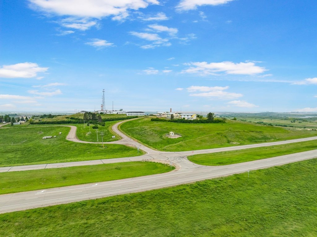
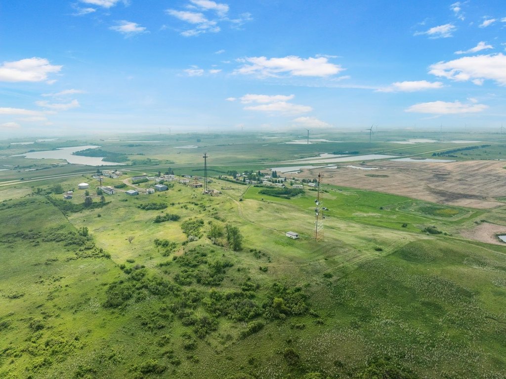
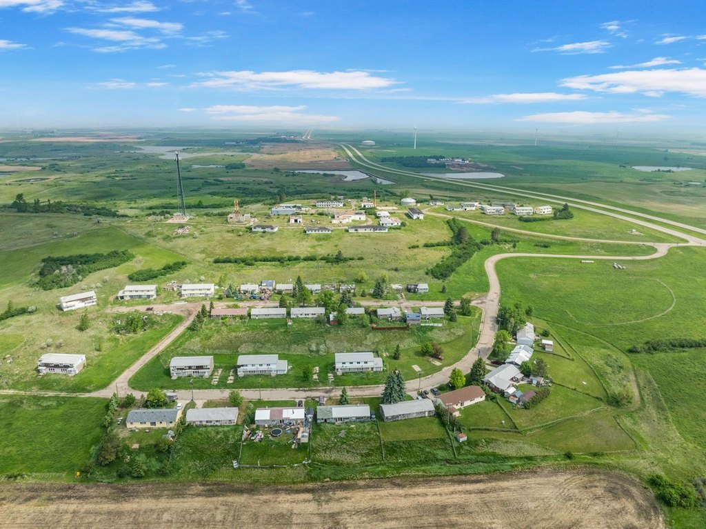
This property, known as the "South Radar Base," presents a prime investment opportunity with nearly 100 acres of land located south of Minot and north of Max, with direct access off Highway 83. The expansive property offers exceptional development potential with a mix of cropland and commercial use. All major utilities are already in place, including MDU gas, North Prairie Rural Water, and Verendrye Electric, making the site ready for immediate development. The residential units owned by the owner will be included in the sale, offering future redevelopment possibilities. The land will need to be rezoned for intended use, offering flexibility for residential, commercial, industrial, or mixed-use development. This location offers great highway access.
Location Intelligence
Current Use by Public Records
Commercial land
Map
- City
- Max
- County
- McLean
- State
- North Dakota
- Longitude
- -101.295
- Latitude
- 47.8053
FAQs
What type of property is this?
Commercial land - 99+ acres near Highway 83 with development potential.
Where is this commercial land located?
The property is located at Unassigned lot Minot Radar Base Rd Max, ND.
What is the asking price?
The asking price for this property is $799,900.
What are key features of this property?
This property features: Nearly 100 acres of land with Highway 83 frontage.; All major utilities (MDU gas, North Prairie Rural Water, Verendrye Electric) are already in place.; Exceptional development potential for residential, commercial, industrial, or mixed‑use.






