
John Day Highway, Ironside, OR 97908

- Added:
- Jul 10, 2025
- Days on Market:
- 362
- Last Refresh:
- Jul 6 at 1:06 am
Property Features for John Day Highway
General Information
- Property type
- Land
- Property subtype
- Other
- Standard status
- Active
- APN
- 4200
- Lot size
- 1,490.20 Acres
Taxes and HOA fees
- Tax Year
- 2024
- Tax Description
- Lengthy - call listing agent
- Tax Annual Amount
- 246
Utilities
- Utilities
- Electricity Available
- Water source
- Spring
Listing agent Janey Knipe License #AB23881 (208) 830-2692
Listing office Knipe Land Company 860 Beacon, OR (208) 345-3163
Listing date Jul 10, 2025
Copyright © 2026 Intermountain Multiple Listing Service. All rights reserved. All information provided by the listing agent/broker is deemed reliable but is not guaranteed and should be independently verified.
HighLights
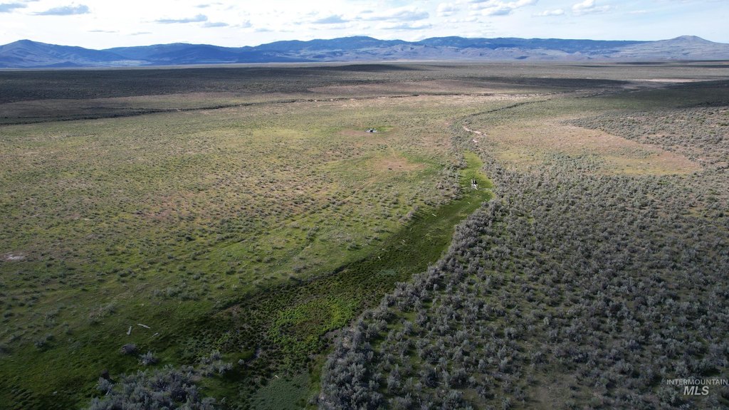
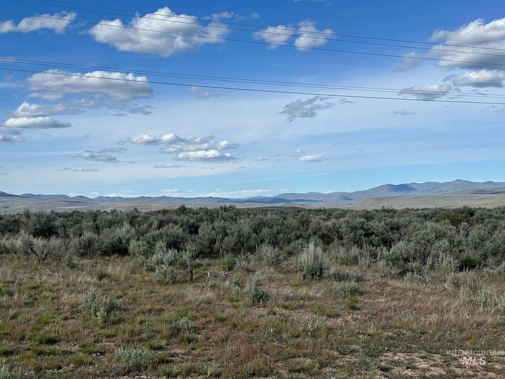
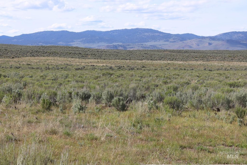
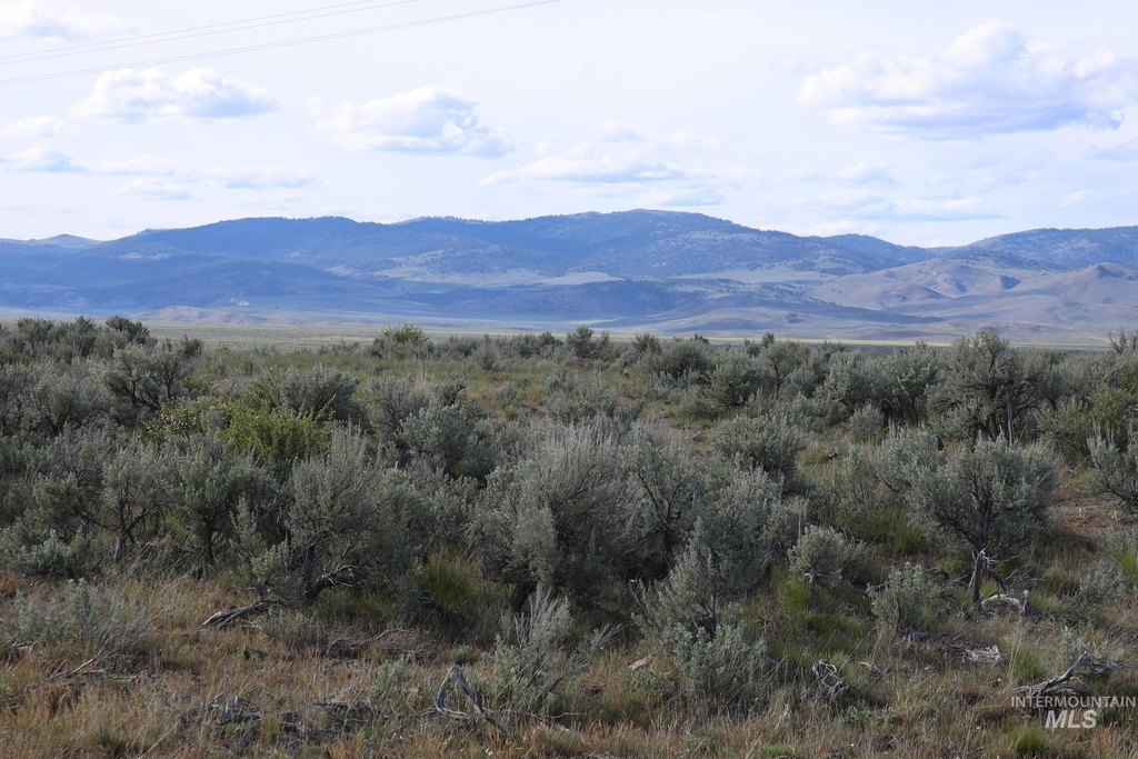
- Combined acreage at a lower price.
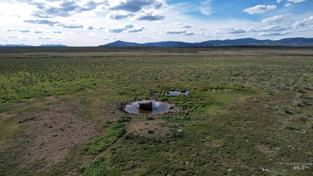
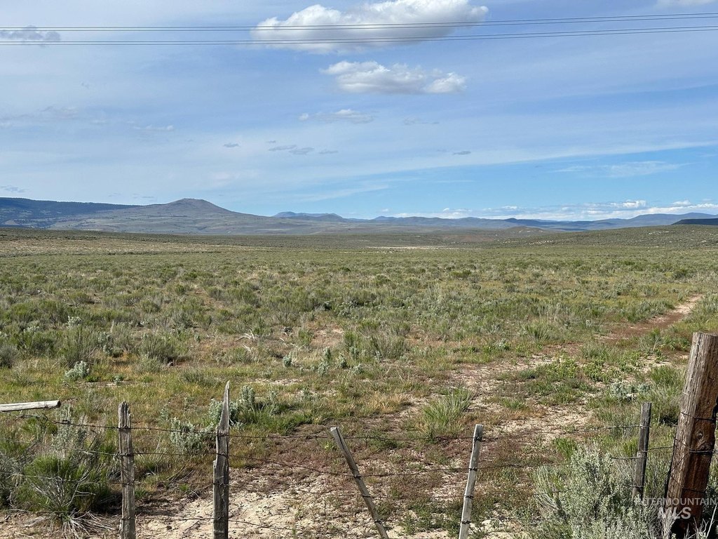
- Seasonal creek and springs provide water for livestock and attract wildlife.
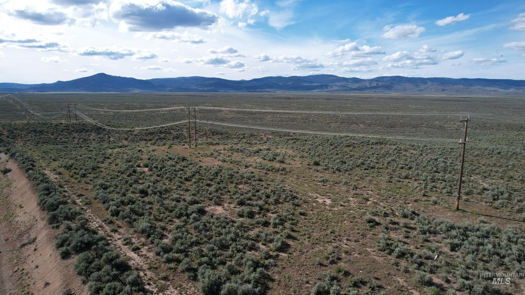
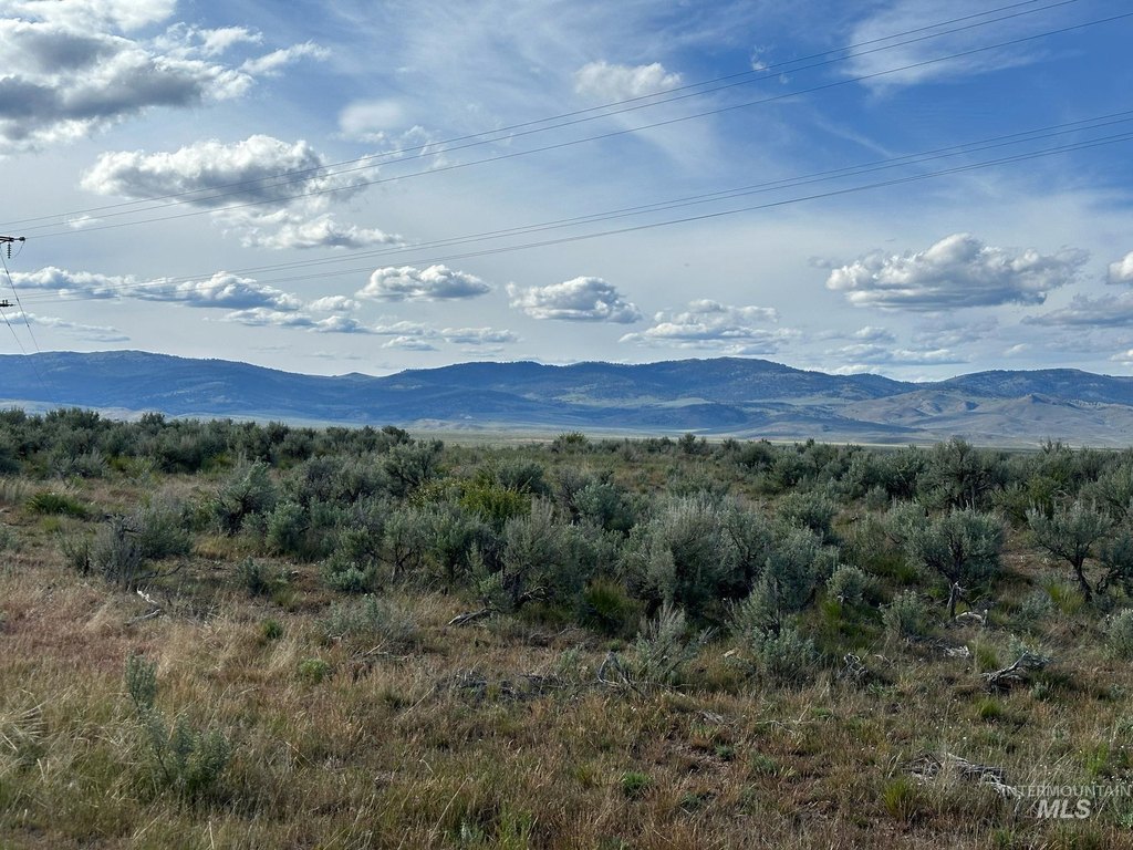
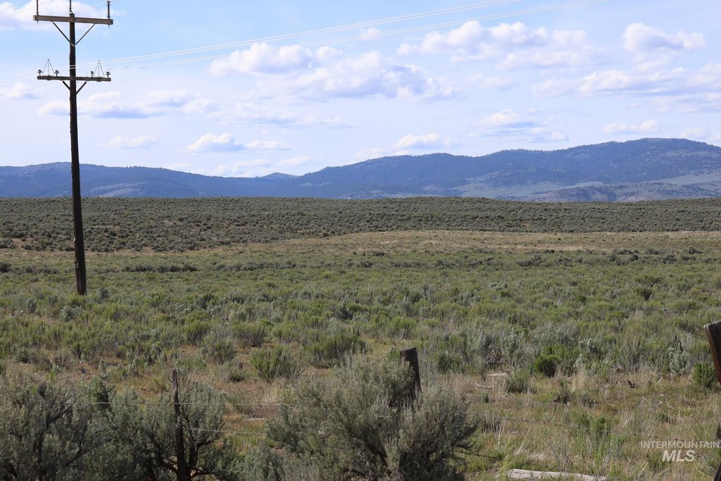
- Highway access provides direct access, power, and fiber optic cable.
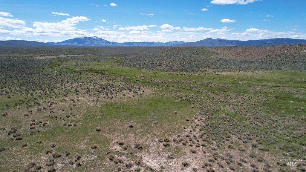
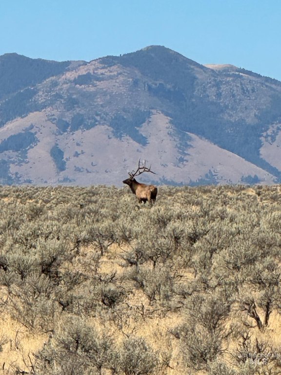
- Excellent hunting land for elk and deer.
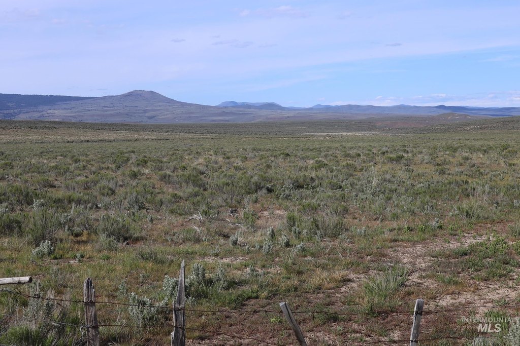
- Borders BLM land, expanding outdoor recreation opportunities.
- Close proximity to Ironside Mountain, Cow Valley Butte, and Juniper Mountain.
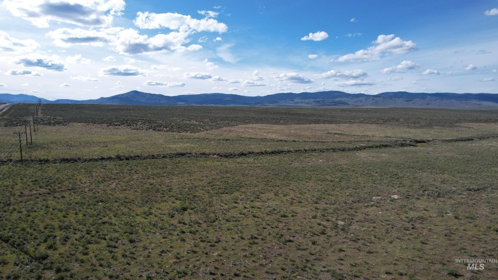
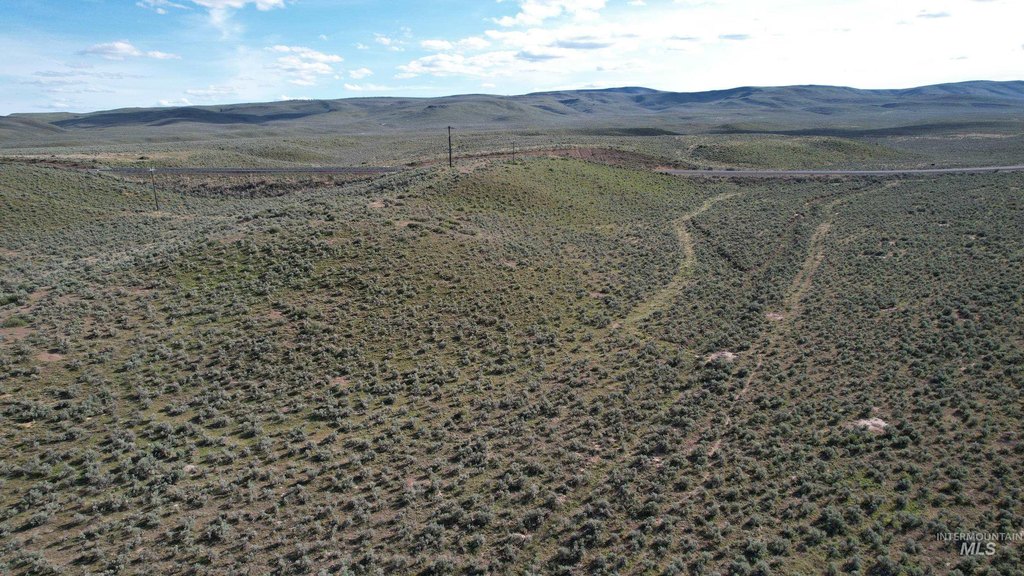
Overview
Access is provided via the highway along the southern boundary, and the remarks indicate power and fiber optic cable available from that frontage. BLM land is noted as nearby, adding to the surrounding outdoor acreage. The area is associated with nearby terrain including Ironside Mountain, Cow Valley Butte, and Juniper Mountain, with Vale, Oregon referenced as less than an hour away.
For tenants, buyers, or outdoor operators, the combination of grazing-friendly terrain and on-site seasonal water features supports use cases such as livestock operations that rely on seasonal water access and recreational hunting focused on local wildlife presence. With road frontage on the south boundary, the tract is also set up for practical access to the property for day-to-day land use and ongoing seasonal activities.
Current Use by Public Records
Map
- City
- Ironside
- County
- Malheur
- State
- Oregon
- Longitude
- -117.880962
- Latitude
- 44.318494


