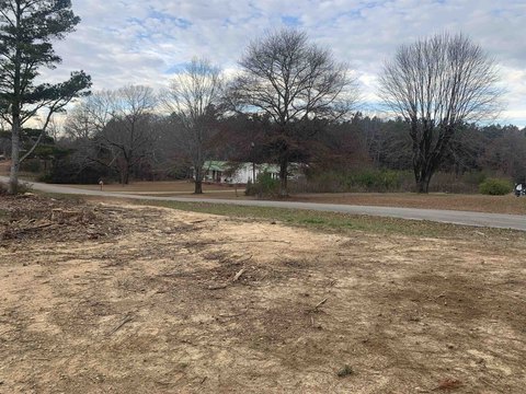
Hwy 81, Phil Campbell, AL 35581
- Added:
- Feb 23, 2026
- Days on Market:
- 135
- Last Refresh:
- Jul 8 at 11:06 pm
Property Features for Hwy 81
General Information
- Property type
- Land
- Property subtype
- Other
- Zoning
- R1
- Parking features
- Driveway
- Standard status
- Pending
- APN
- 14061400000060040
- Lot size
- 7.00 Acres
Taxes and HOA fees
- Tax Description
- SEC14 T8 R11 PART OF THE SE4 COMM AT THE SE CORNER OF THE SE4 SEC14 TH W 207 TO TVA MARKER 11-5 TH NW 790 TO BEG TH CONT NW 437 TH NW 407 TH NE 1445 T
- Tax Annual Amount
- 250
Utilities
- Utilities
- Water Available
- Water source
- Public
- Water front features
- Lake Front
- Water front
- 1

Listing agent Jarred Pierce License #122144 (256) 332-2222
Listing office American Realty Company LLC 817 Lawrence Street E, Russellville, AL (256) 332-2222
Listing date Feb 23, 2026
Copyright © 2026 Strategic MLS Alliance, INC. All rights reserved. All information provided by the listing agent/broker is deemed reliable but is not guaranteed and should be independently verified.
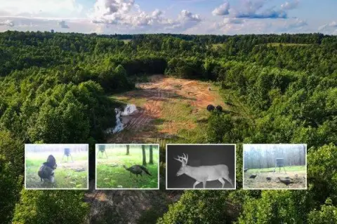
HighLights
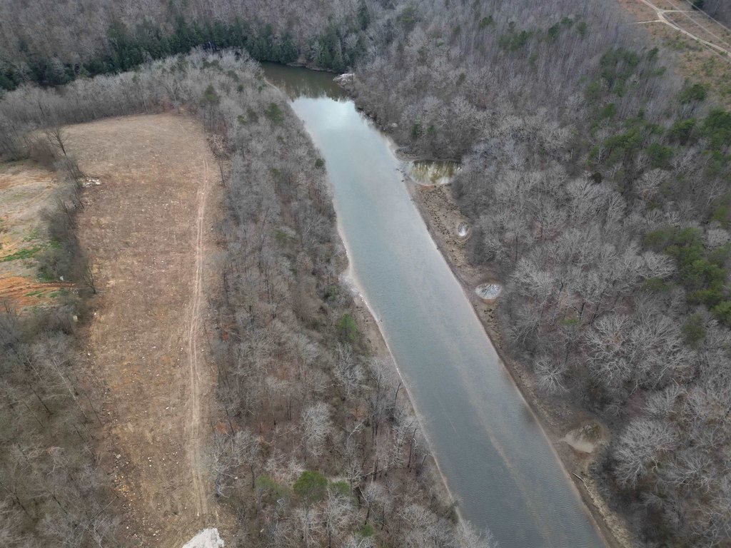
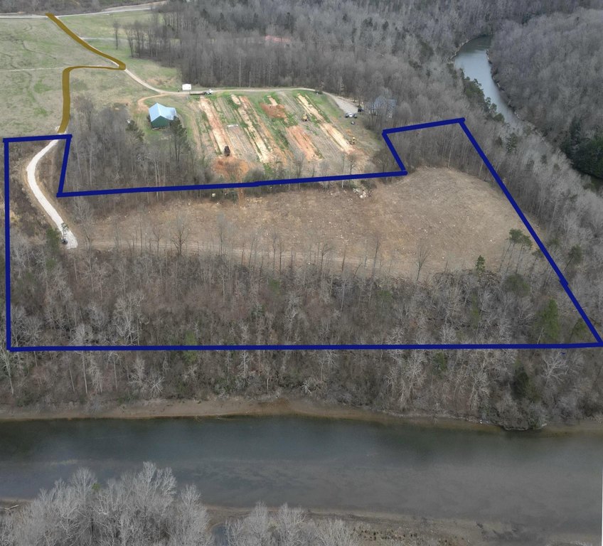
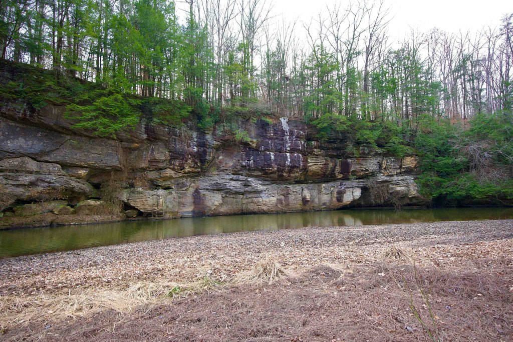
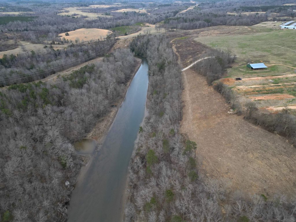
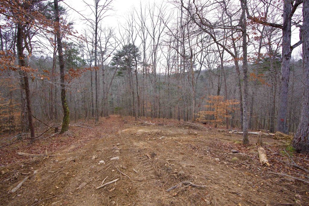
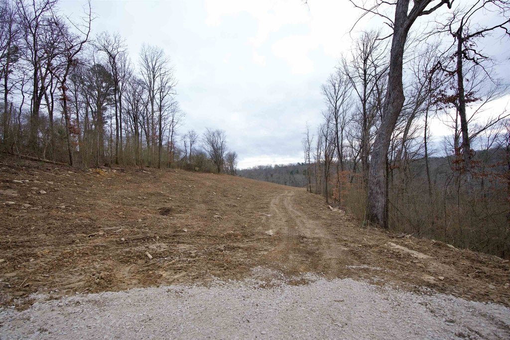
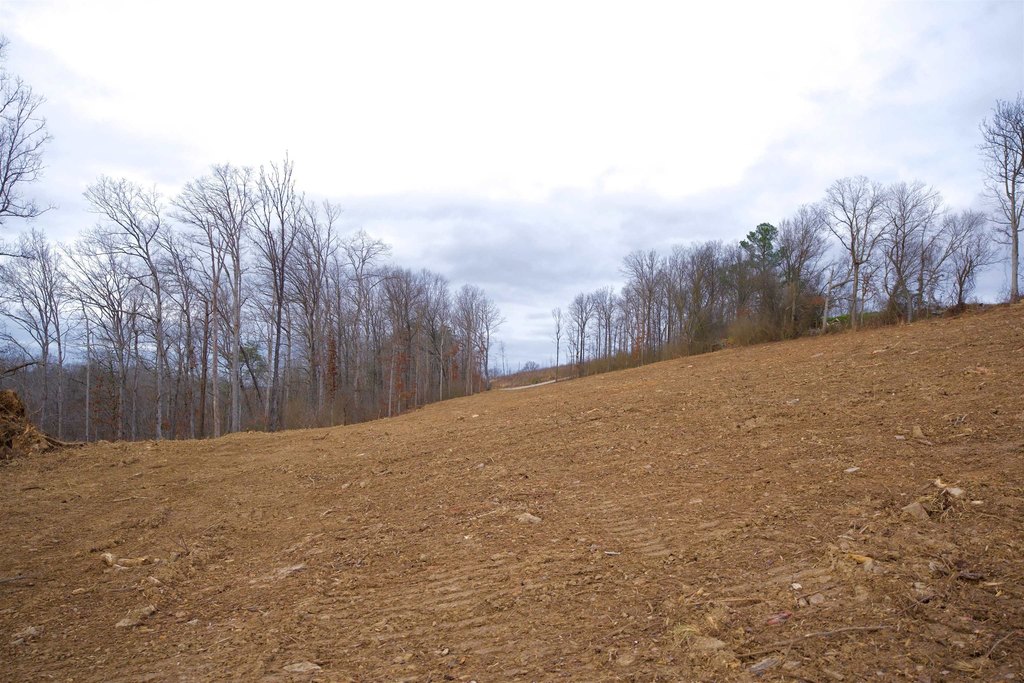
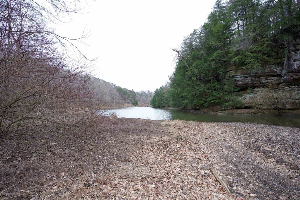
- 7‑acre lakefront property with approximately 1,350 ft. of water frontage on Cummings Creek of Upper Bear Lake.
- No dock permit required.
- No restrictions on the property.
- Privacy offered by the lakefront location.
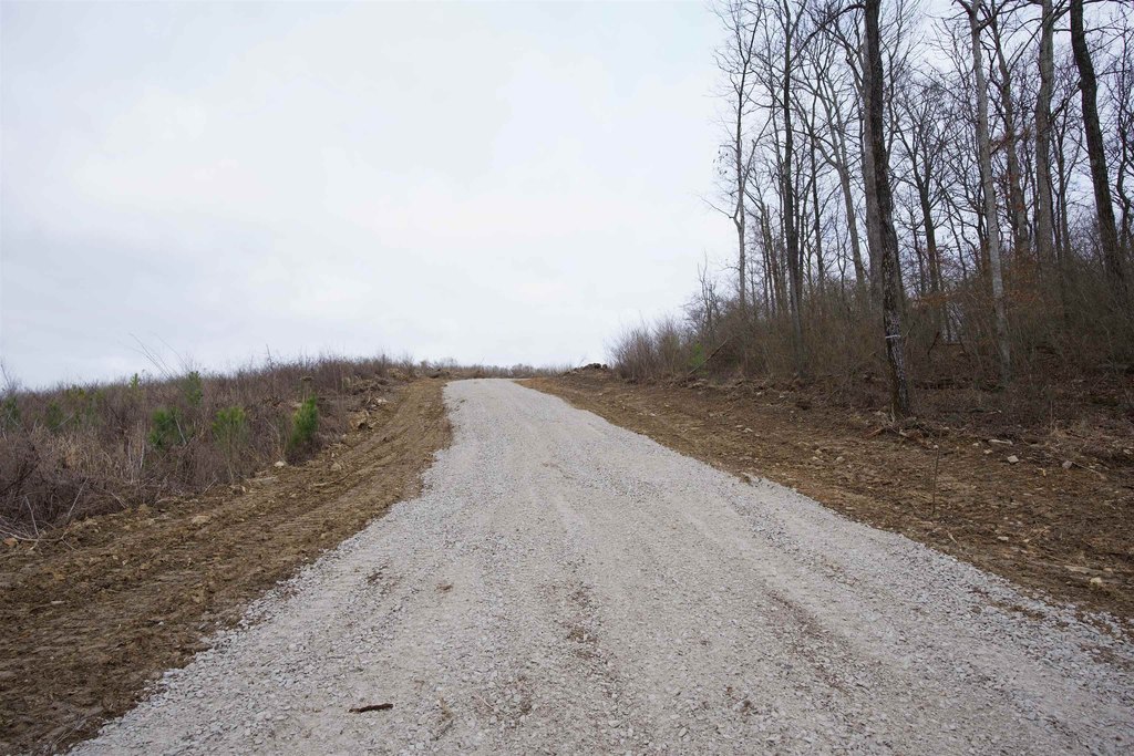
- New survey with 15 ft. wide easement to the property will be provided.
- Water available and public water source.
Overview
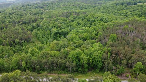
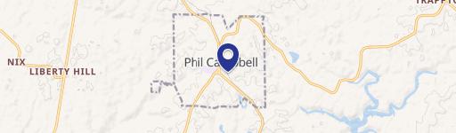
The property is located on Hwy 81 in Phil Campbell, Alabama, within Franklin County. The waterfront setting offers a private, water-access component for lifestyle use, while the parcel’s easement is intended to be clearly defined in the new survey.
For residential buyers who want direct shoreline, this tract provides the acreage and waterfront depth to support a custom build. The seller states there are no restrictions, giving flexibility in how the site may be developed, subject to R1 zoning and applicable regulations. The remarks also note that dock permits are not included with the property, so any future dock-related plans would need to follow permitting requirements independently.
Current Use by Public Records
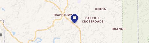
Map
- City
- Phil Campbell
- County
- Franklin
- State
- Alabama
- Longitude
- -87.65786979
- Latitude
- 34.35299785