Hwy 221 N, Marion, NC 28752
- Added:
- Nov 7, 2025
- Days on Market:
- 239
- Last Refresh:
- Jul 4 at 8:06 pm
Property Features for Hwy 221 N
General Information
- Property type
- Land
- Property subtype
- Other
- Standard status
- Active
- APN
- 171700035982
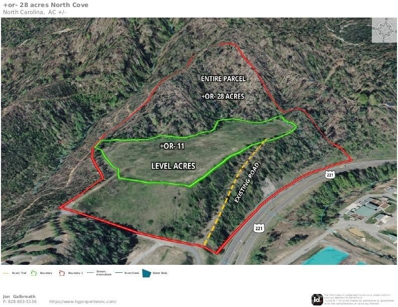
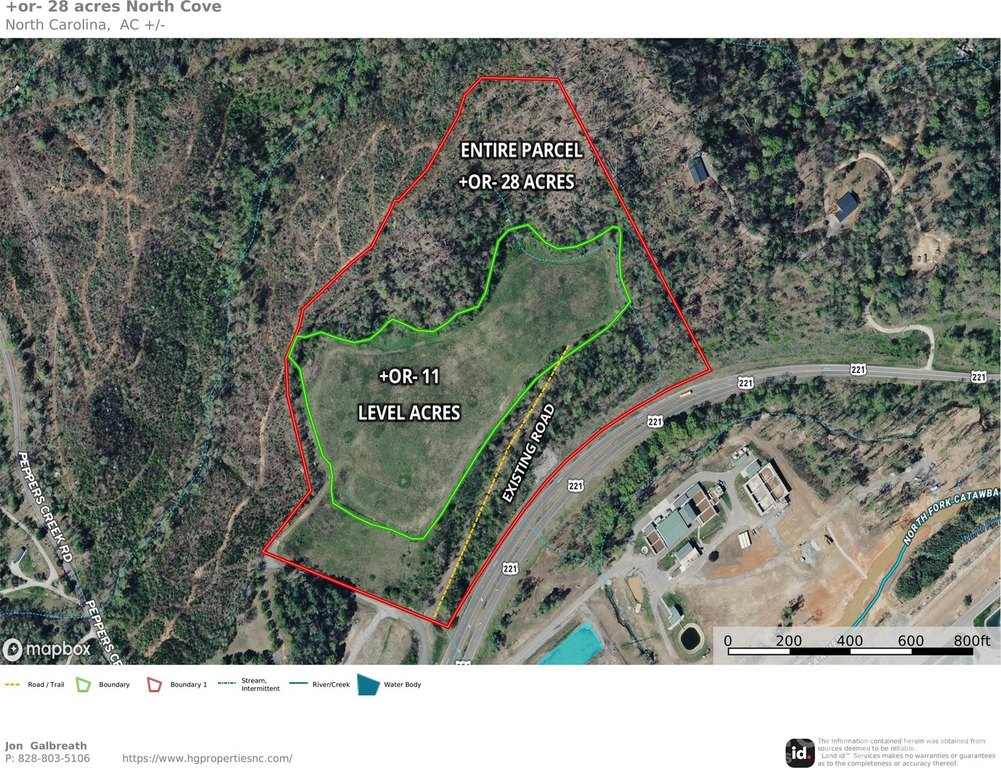
- Lot size
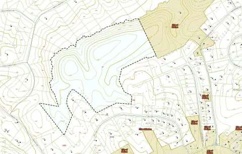
- 28.00 Acres
Taxes and HOA fees
- Tax Description
- 33.48 PER GREENE SURVEY 08/11/2005
Utilities
- Sewer type
- Septic Needed
- Water source
- Well Needed
Listing agent Jon Galbreath License #310573 (828) 803-5106
Listing office Higher Ground Properties 96 Hemlock Hills Estate Dr, Marion, NC (828) 803-5106
Listing date Nov 7, 2025
Copyright © 2026 Canopy MLS. All rights reserved. All information provided by the listing agent/broker is deemed reliable but is not guaranteed and should be independently verified.
HighLights
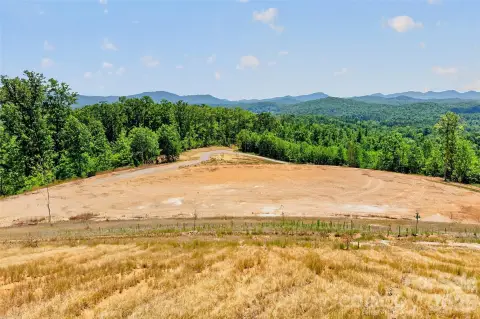
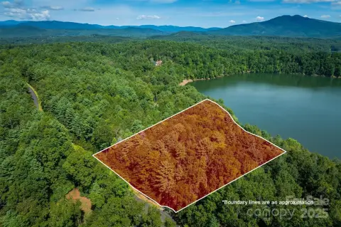
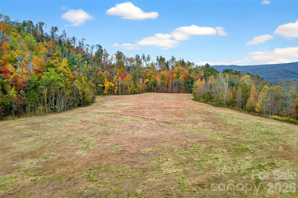
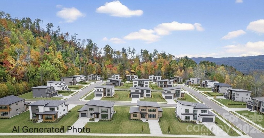
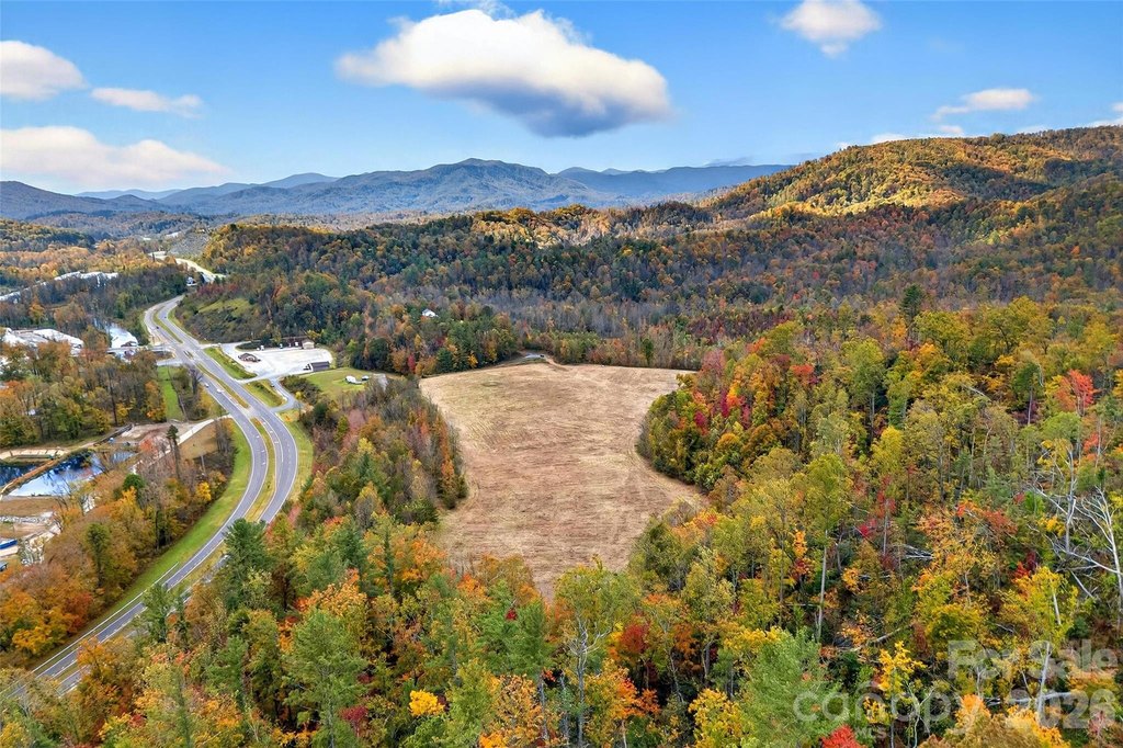
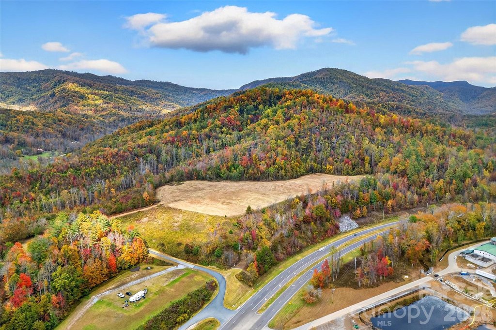
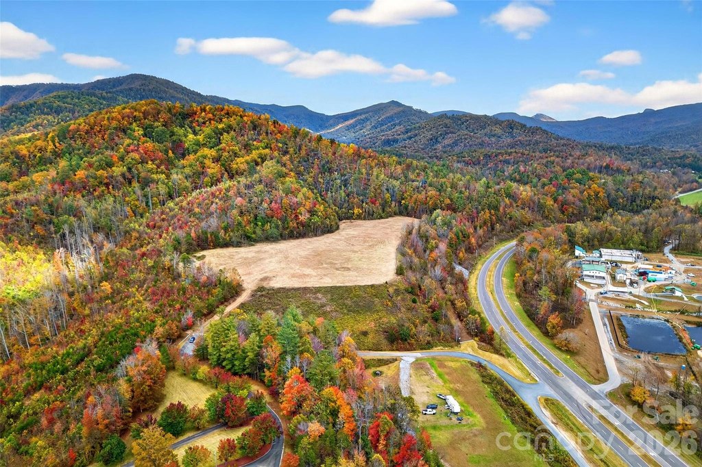
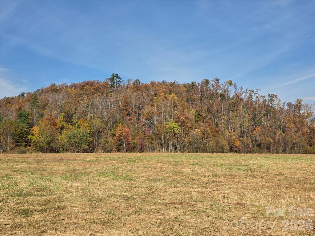
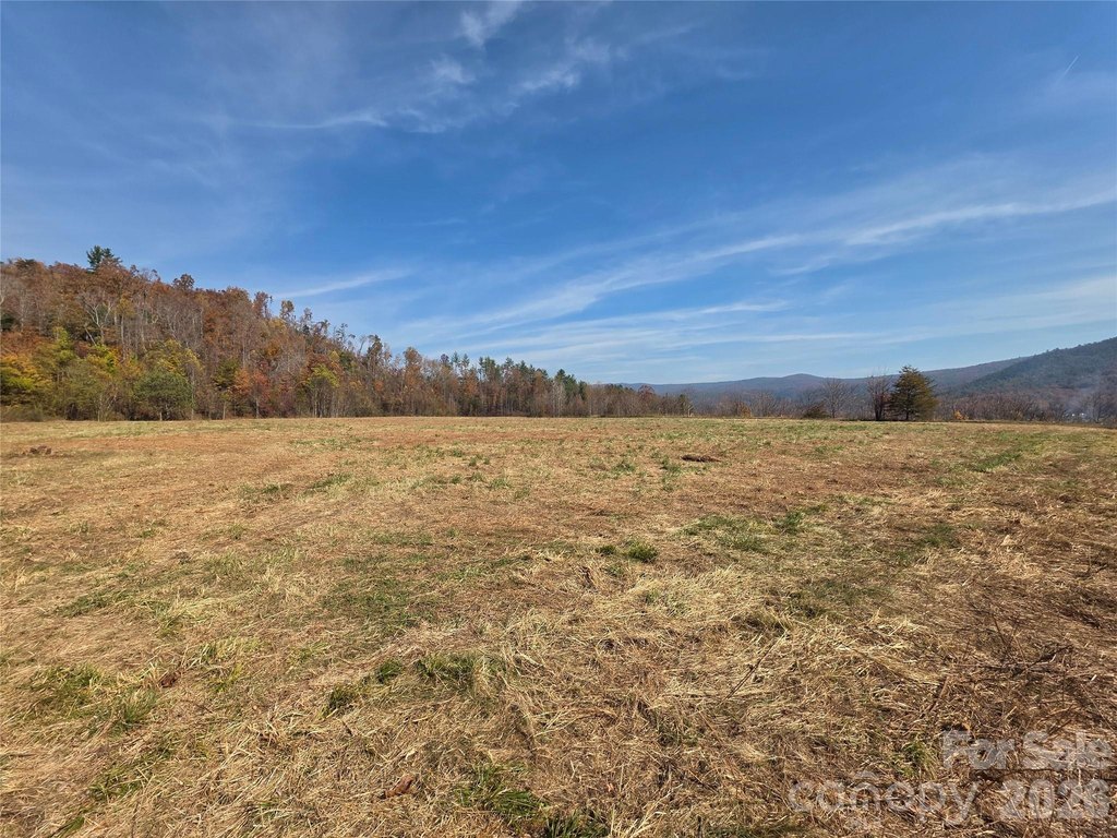
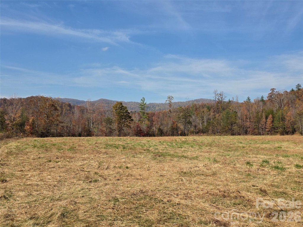
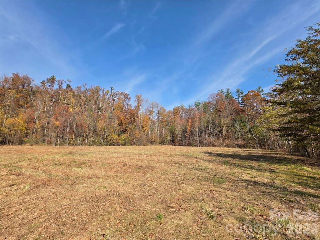
- 28 Unrestricted Acres: Offers flexibility for various purposes.
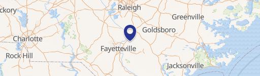
- Prime Location: Centrally located between Boone and Asheville with easy access to major attractions.
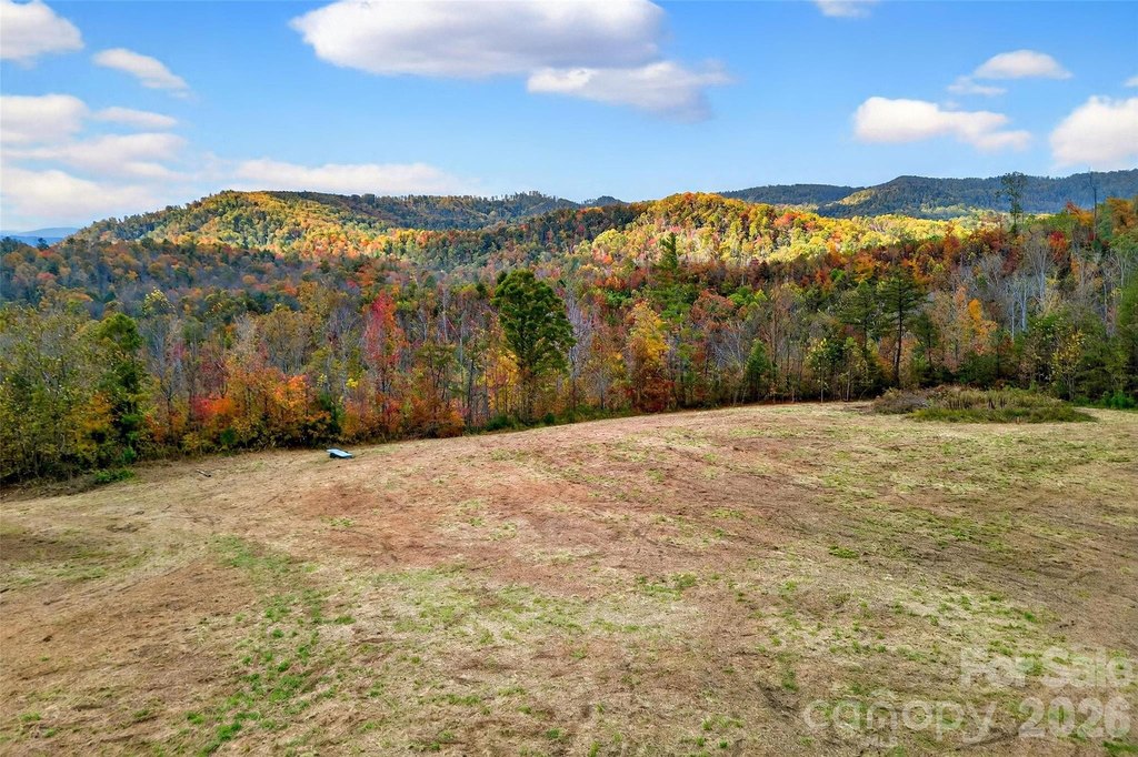
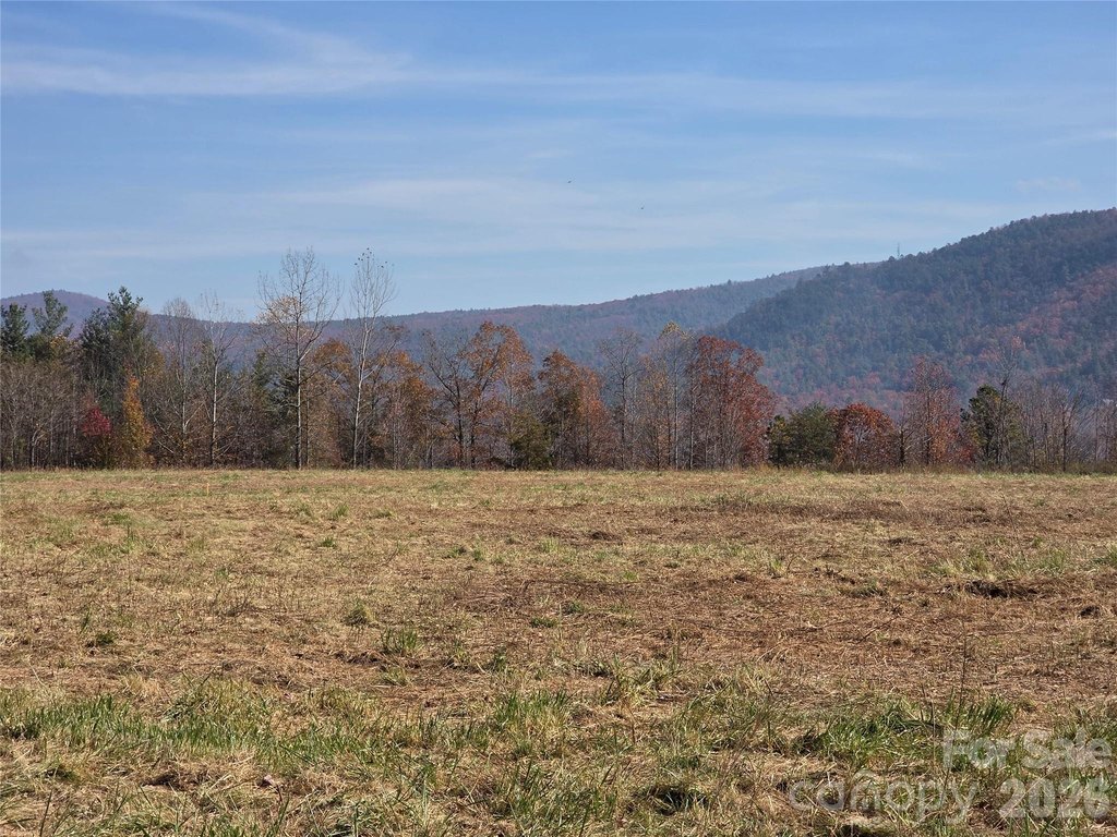
- Long Range Mountain Views: Enjoy scenic views from the forested ridgeline.
- Highway Frontage: 1,100 feet of frontage on Hwy 221 provides accessibility and potential visibility.
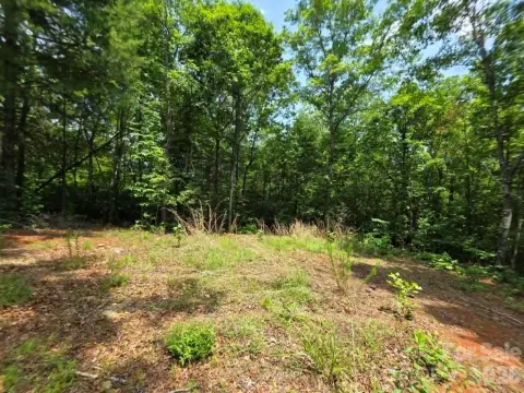
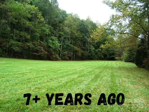
- Level Cleared Acreage: 11 acres of level and cleared land are ready for development.
- Proximity to Outdoor Recreation: Close to Lake James, Linville Falls, Blue Ridge Parkway, and Linville Gorge Wilderness.
Overview
The land provides about 1,100 feet of frontage along Hwy 221. In terms of accessibility and regional draw, it is positioned between Boone (about 1 hour) and Asheville (about 50 minutes). The listing also notes proximity to Lake James (about 20 minutes) and several Blue Ridge-area destinations, including Linville Falls, the Blue Ridge Parkway, Linville Falls Winery, and Linville Gorge Wilderness (about 15 minutes).
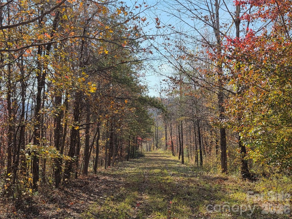
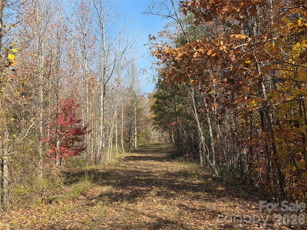
Because the acreage is unrestricted and includes a mix of level, cleared ground and wooded ridgeline terrain, it can support a range of concepts such as residential development, commercial development, farming, or recreation. The existing road to the elevated cleared area can help reduce site prep complexity for future planning.
Current Use by Public Records
Map
- City
- Marion
- County
- McDowell
- State
- North Carolina
- Longitude
- -82.0009045
- Latitude
- 35.8399532