Hwy 383, Iowa, LA 70647
- Added:
- May 4, 2026
- Days on Market:
- 62
- Last Refresh:
- Jul 4 at 4:06 pm
Property Features for Hwy 383
General Information
- Property type
- Land
- Property subtype
- Other
- Standard status
- Active
- Lot size
- 233.10 Acres
Taxes and HOA fees
- Tax Annual Amount
- 695
Utilities
- Water source
- Public
- Water front features
- Creek
Listing agent Nathan Morrow (337) 602-6366
Listing office Morrow Land Group, LLC 949 Ryan Street, Suite 260, Lake Charles, LA (337) 602-6366
Listing date May 4, 2026
Copyright © 2026 My State MLS. All rights reserved. All information provided by the listing agent/broker is deemed reliable but is not guaranteed and should be independently verified.
HighLights
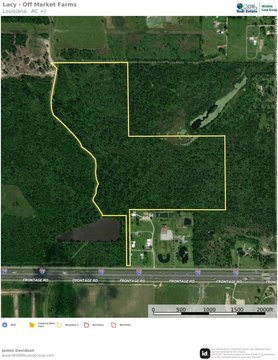
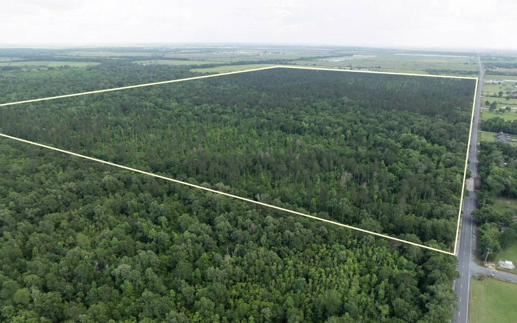
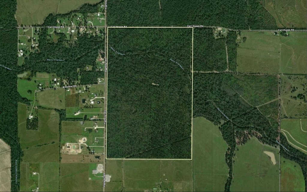
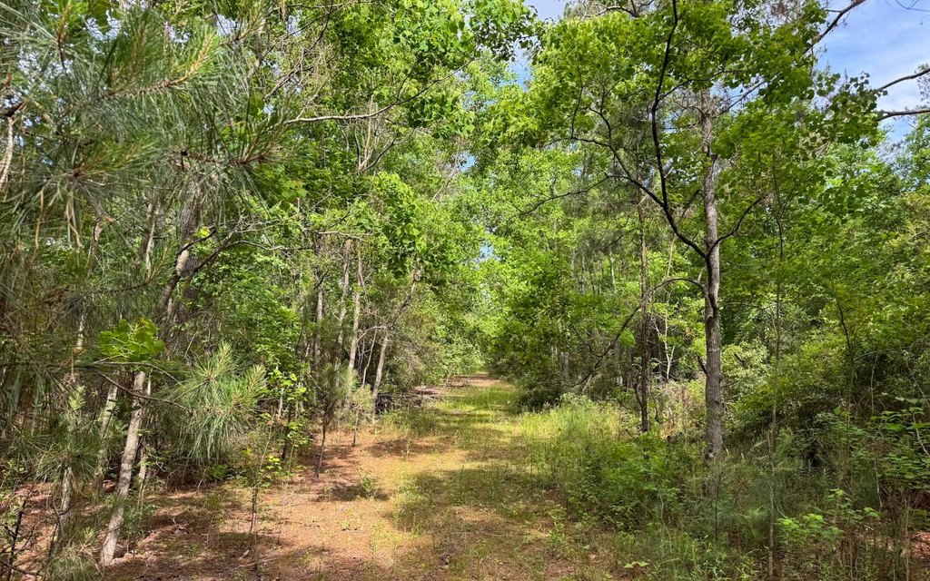
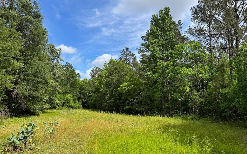
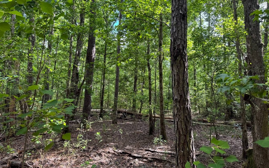
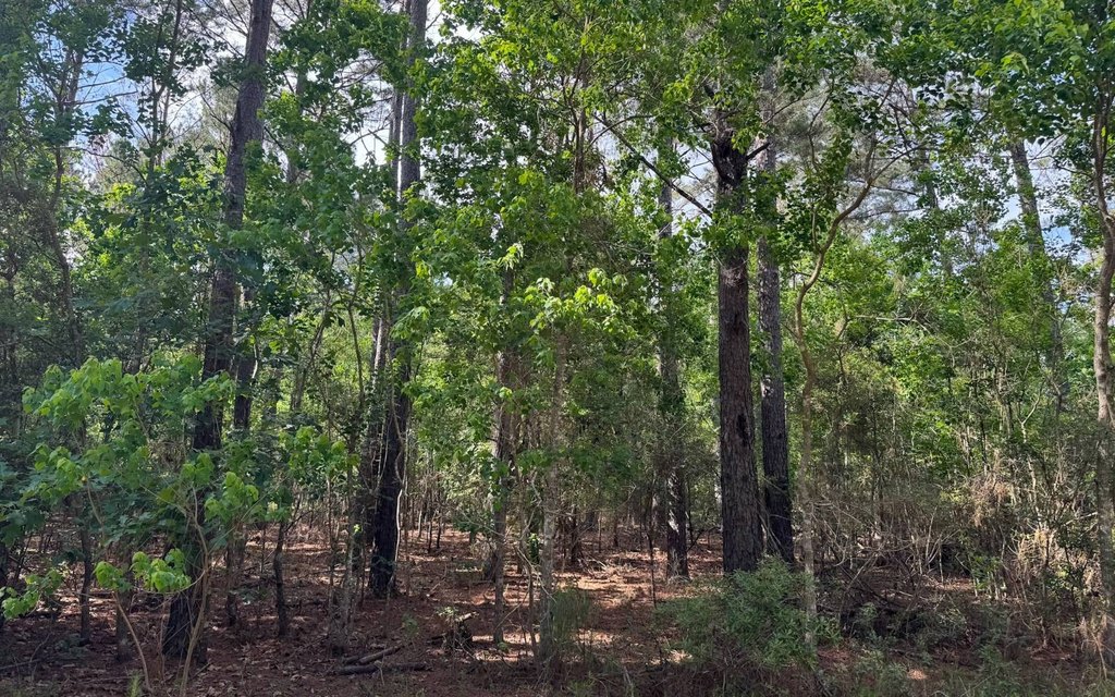
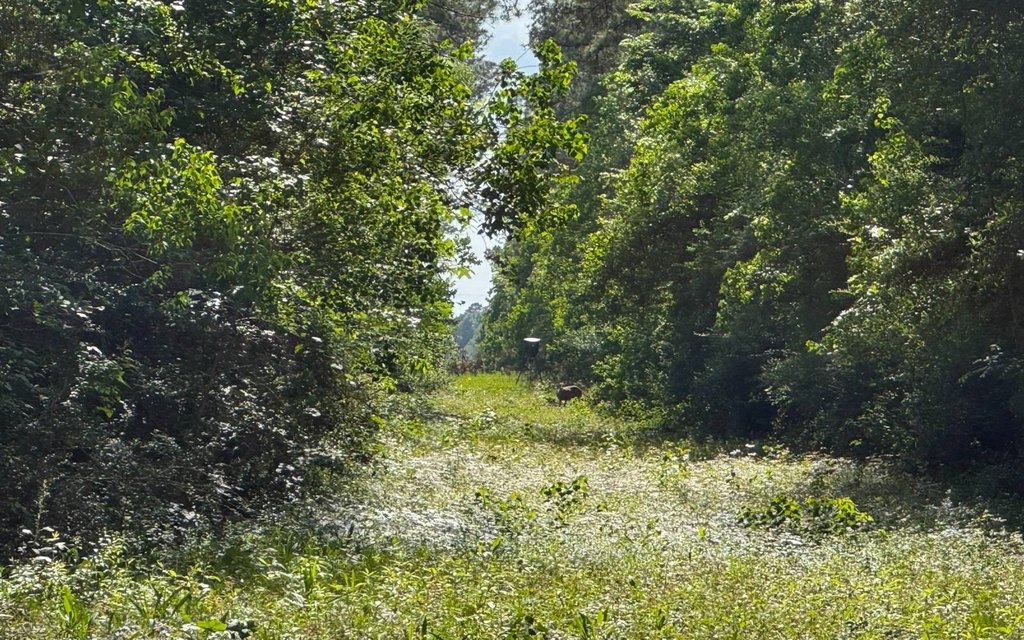
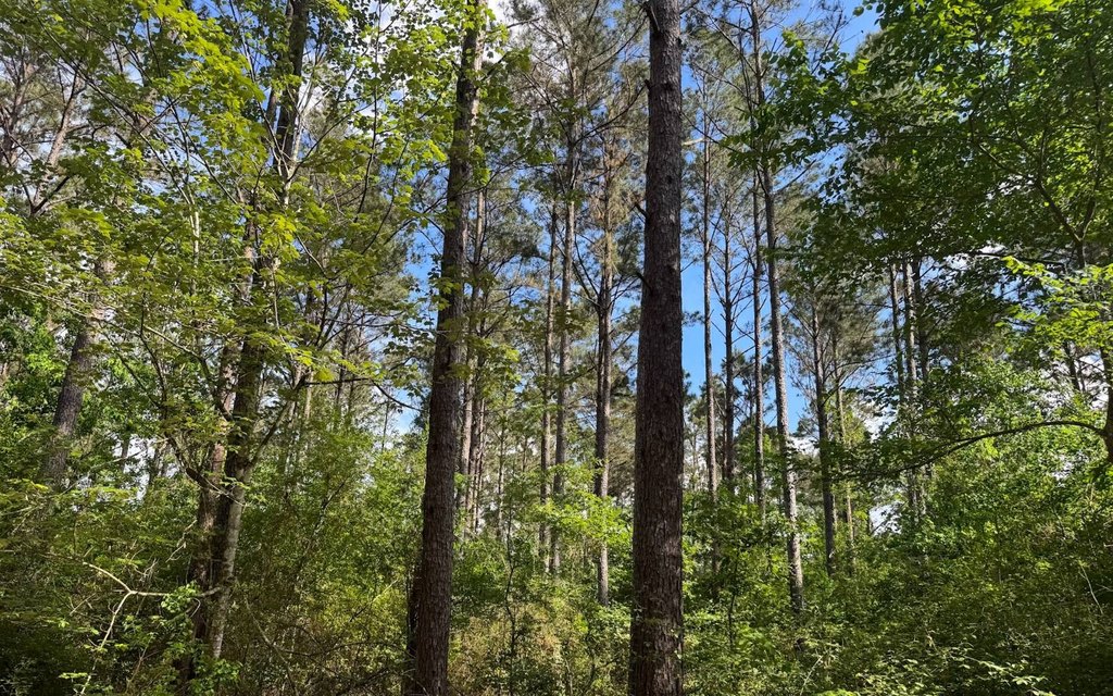
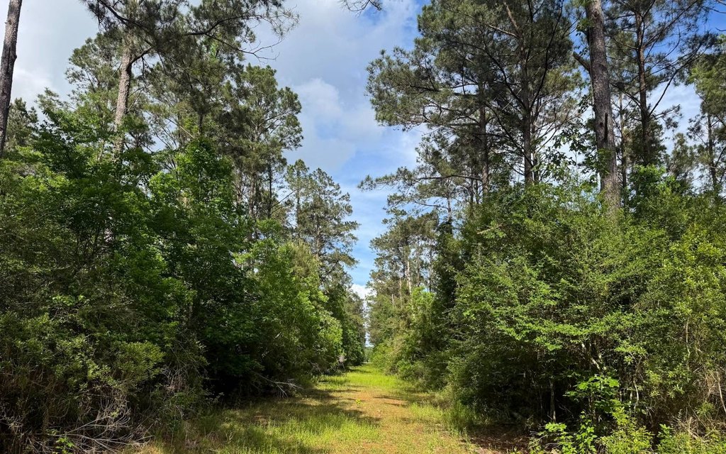
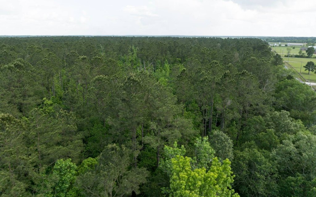
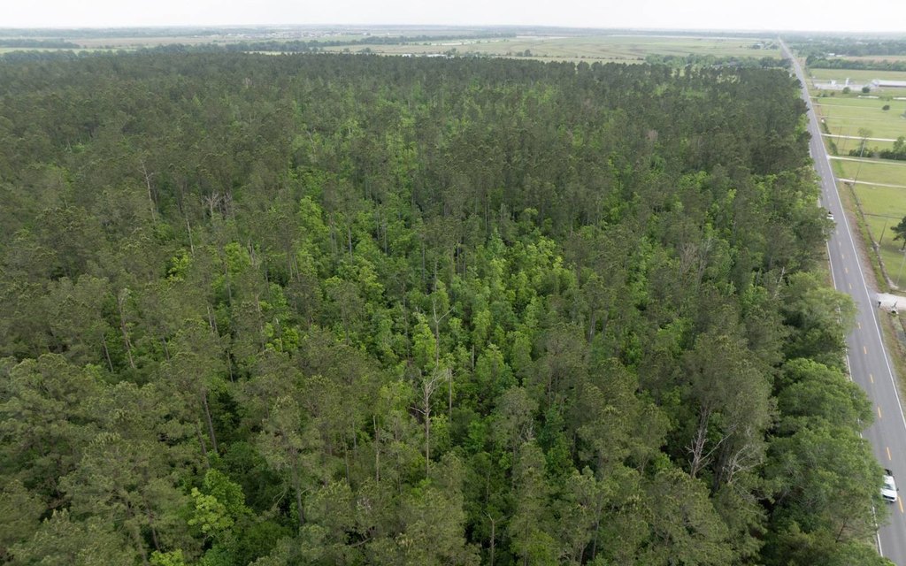
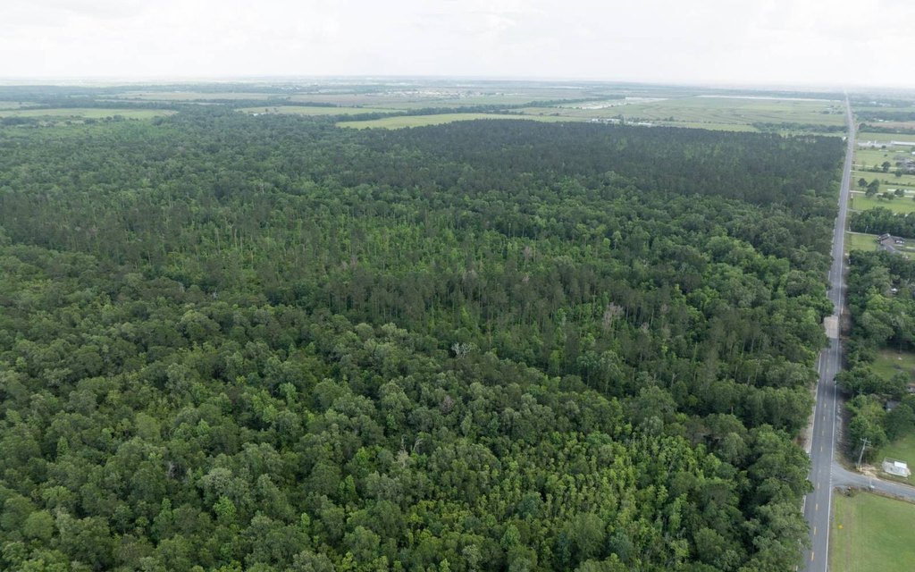
- 233.1+/- acre timberland and recreational tract in Jeff Davis Parish, just over 4 miles north of Iowa.
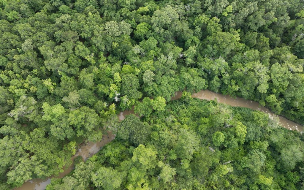
- Primarily thinned pine plantations from 1992 & 1999, with hardwood areas along Bayou Arceneaux in the northern portion.
- Waterfront/creek features include a creek, with bayou areas along Bayou Arceneaux and the tract.
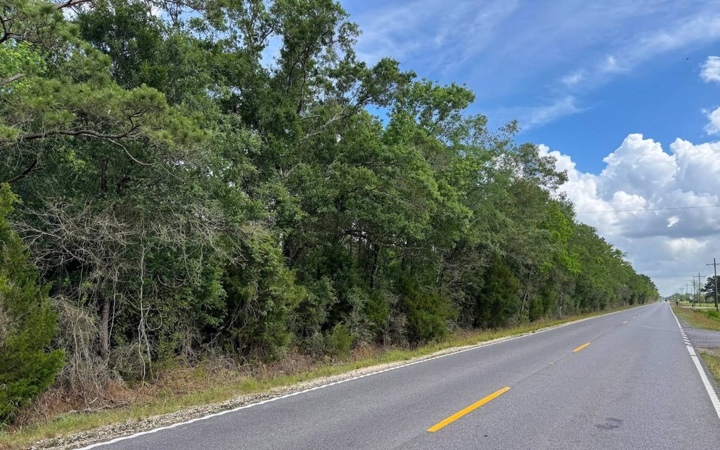
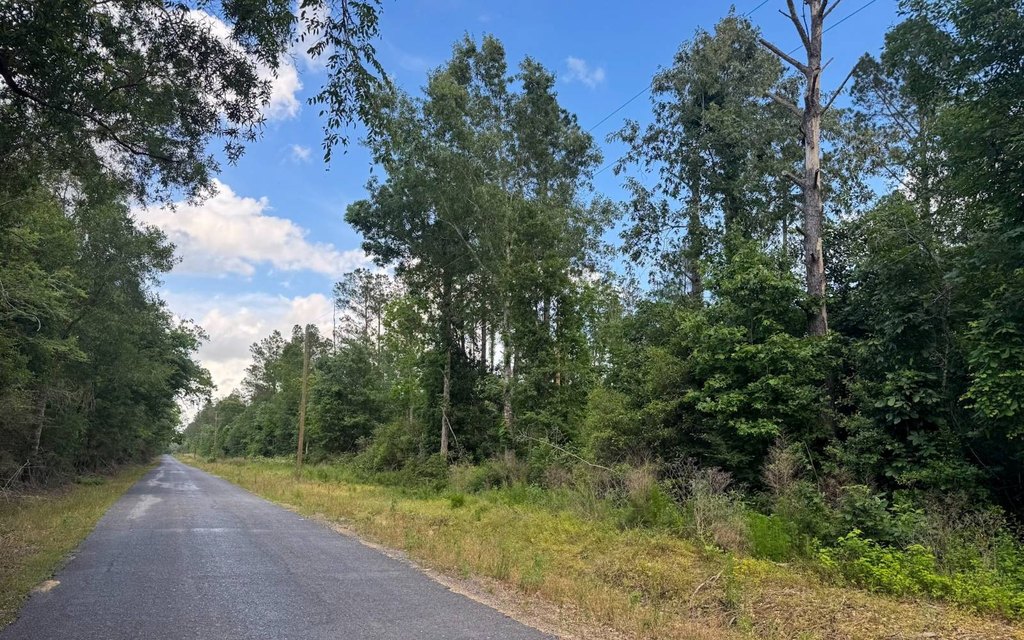
- About 0.75 mile of frontage along the east side of Hwy 383 and about 0.5 mile along the south side of Carl Hoppe Road.
- Public water available, with overhead utilities available along both Hwy 383 and Carl Hoppe Road.
- Non‑forest areas include the bayou and a gas pipeline crossing the southwest corner.
Overview
The tract is located just over 4 miles north of Iowa in Jeff Davis Parish. It offers approximately 0.75 mile of frontage along the east side of Hwy 383 and about 0.5 mile along the south side of Carl Hoppe Road. Overhead utilities are available along both road frontages.
For buyers looking for rural recreation, the combination of pine plantations, hardwood pockets, and bayou coverage supports hunting and general outdoor use. The acreage may also fit timber management objectives, given the existing pine plantation history. The property is further described as potentially suitable for rural residential development, depending on buyer plans and requirements.
Current Use by Public Records
Map
- City
- Iowa
- County
- Calcasieu
- State
- Louisiana
- Longitude
- -93.013666
- Latitude
- 30.316927