0 Hwy 131, Clayton, AL 36016
- Added:
- Jun 17, 2026
- Days on Market:
- 2
- Last Refresh:
- Jun 18 at 12:06 pm
Property Features for 0 Hwy 131
General Information
- Property type
- Farm
- Property subtype
- Farm
- Zoning
- 300
- Parking features
- Garage
- Standard status
- Active
- APN
- 28-09-32-0-000-004-000-0
- Lot size
- 20.00 Acres
Taxes and HOA fees
- Tax Year
- 2025
- Tax Annual Amount
- 105
Building Details
- Architectural style
- Other
Listing agent Hoke Smith (334) 322-2683
Listing office Saunders Real Estate 4732 Woodmere Blvd., Montgomery, AL (334) 530-8258
Listing date Jun 17, 2026
Copyright © 2026 My State MLS. All rights reserved. All information provided by the listing agent/broker is deemed reliable but is not guaranteed and should be independently verified.
HighLights
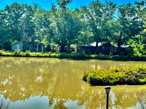
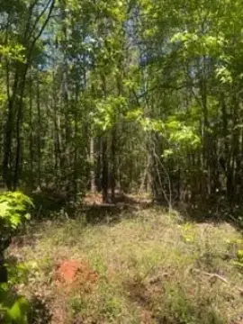
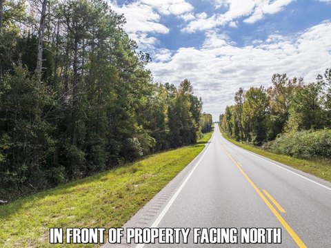
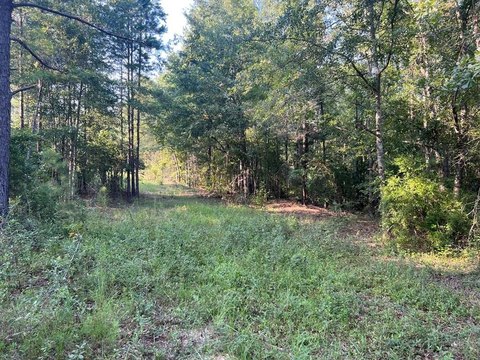
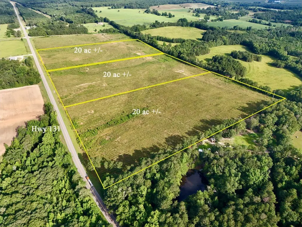
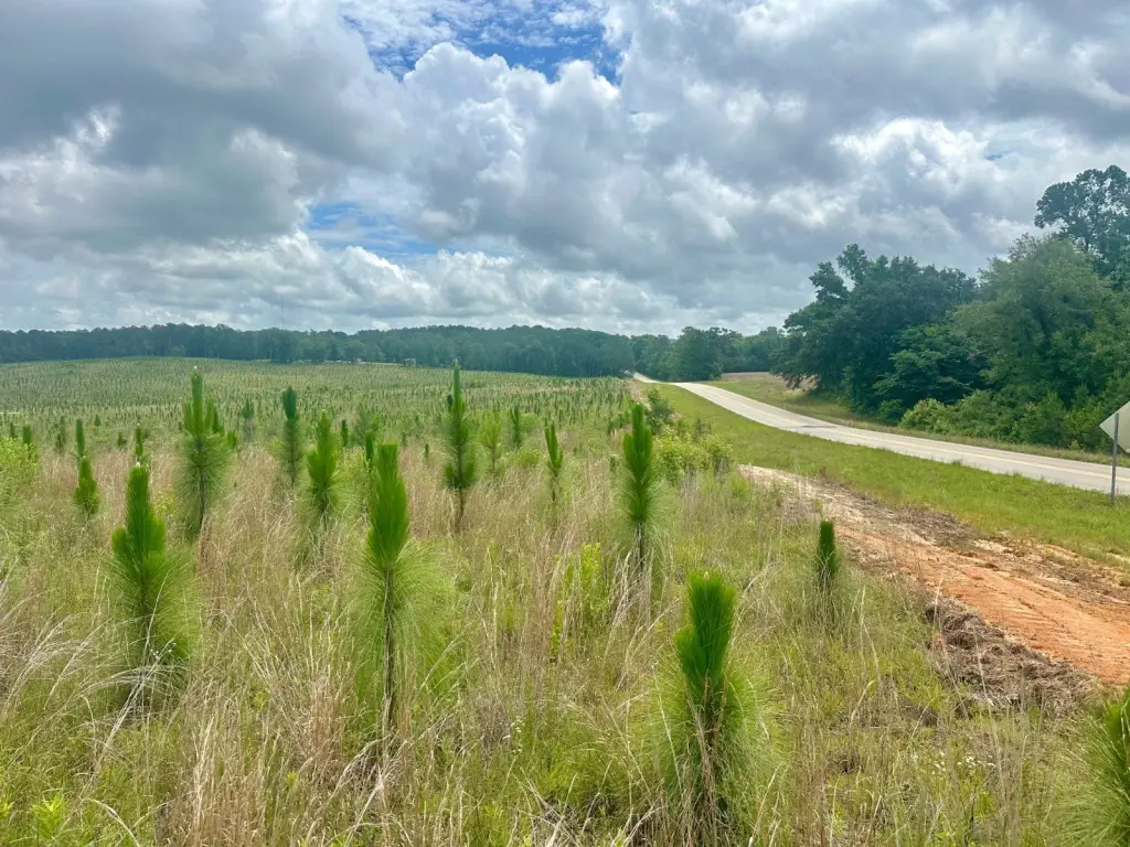
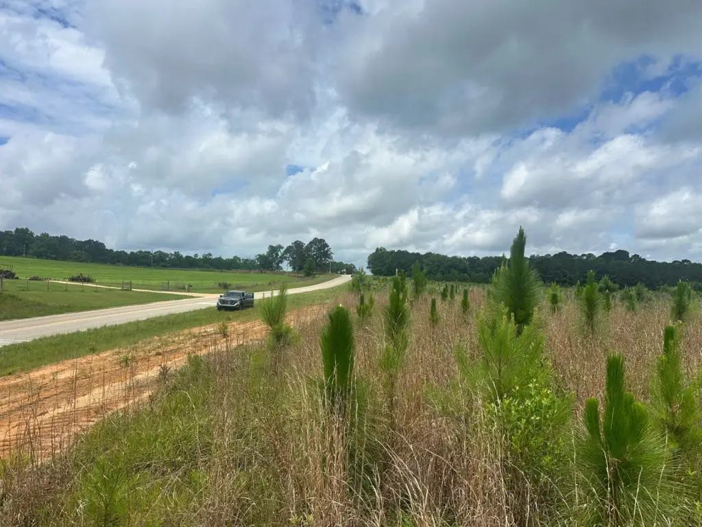
- Three homesites totaling about 20+ acres each along Alabama State Route 131 near the Texasville community in southern Barbour County
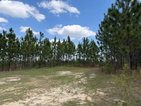
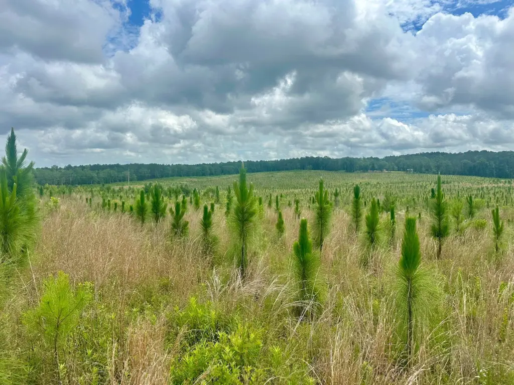
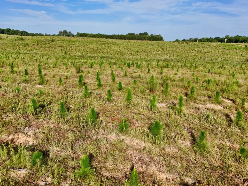
- Rolling topography planted in longleaf pine around 2024 for a young pine setting
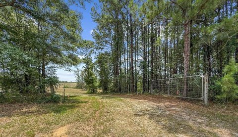
- Recently surveyed and fenced for clearly defined boundaries and easier ownership/development
- Power line corridor runs across the northern portion of the properties, creating space for wildlife food plots or open grazing
- Longleaf pine management allows flexibility for maintaining wildlife habitat or selectively clearing for a small cattle or horse farm
- Some restrictions apply
Overview
The tracts are located along Alabama State Route 131 near the Texasville community in southern Barbour County, within the Wiregrass Region. A power line corridor runs across the northern portion of the properties, creating an area that may be useful for food plots or additional open grazing space if desired.
These homesites are well suited for buyers looking for rural acreage that can serve as a recreational property or a private retreat. The longleaf pine structure and management potential also provides flexibility for continued habitat management or for selectively clearing areas to support a small cattle or horse farm, subject to the applicable restrictions.
Current Use by Public Records
Map
- City
- Clayton
- County
- Barbour
- State
- Alabama
- Longitude
- -85.46385
- Latitude
- 31.709