NHN Como Peak Hamilton, MT 59840
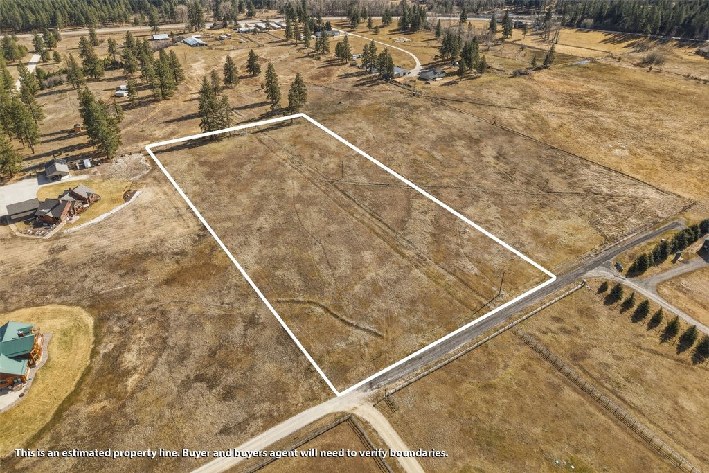
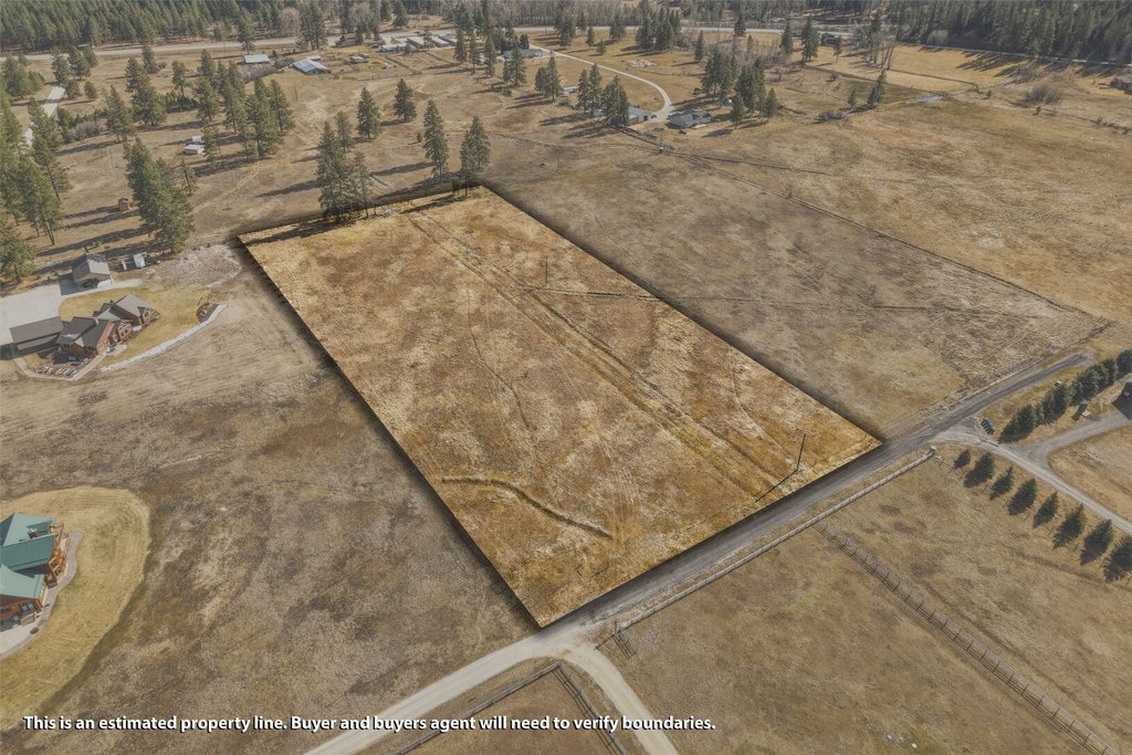
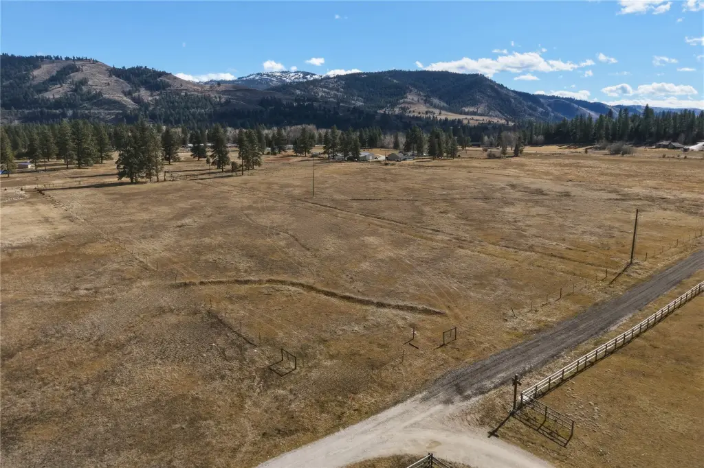
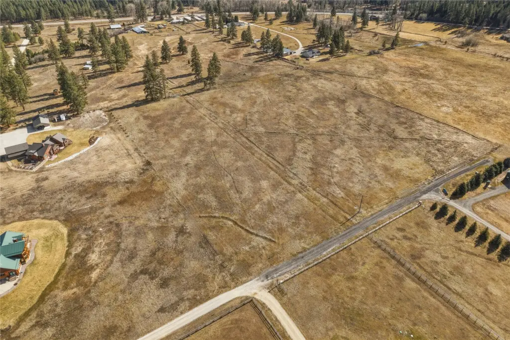
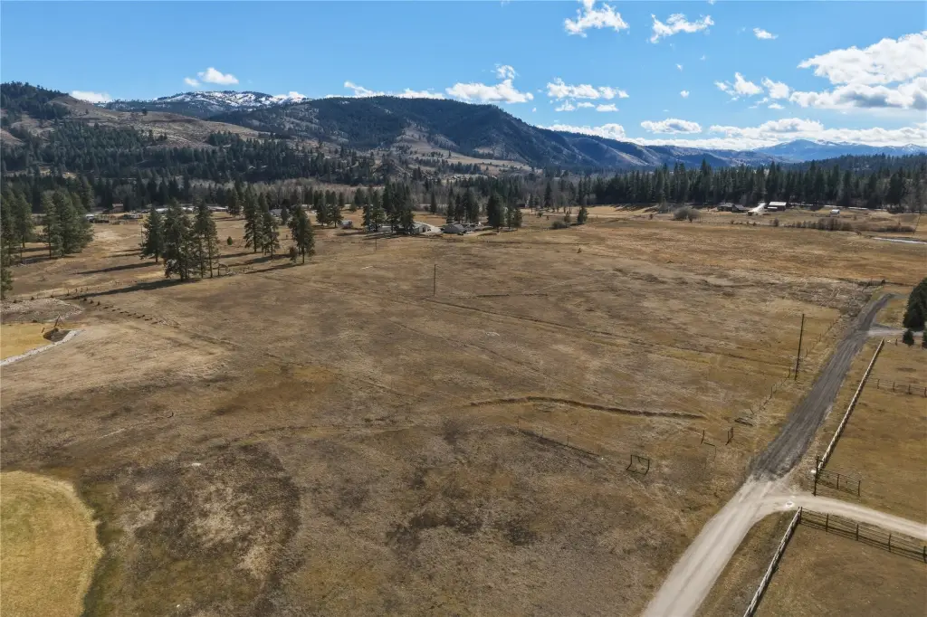
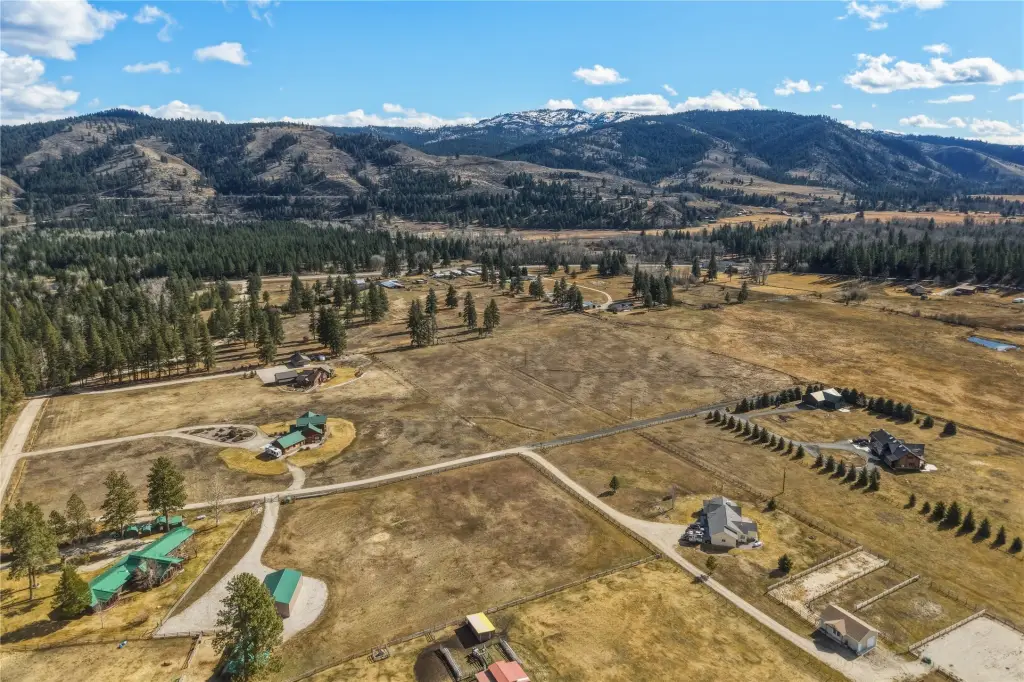
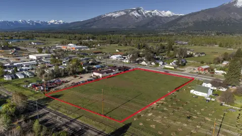
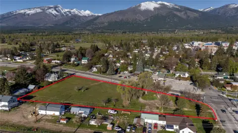
LAND - Hamilton, MT
Property Features for NHN Como Peak
General Information
- Property type
- Land
- Property subtype
- Other
- Standard status
- Active Under Contract
- APN
- 13127310403030000
- Lot size
- 4.50 Acres
Taxes and HOA fees
- Tax Year
- 2025
- Tax Description
- A tract of land located in and being a portion of the SW1/4SE1/4 of Section 10, Township 4 North, Range 21 West, P.M.M., Ravalli County, Montana, and being more particularly described as Tract 2-B1 of Certificate of Survey No. 783123-F, containing 4.50 acres, more or less. SUBJECT TO and TOGETHER WITH easements, reservations, restrictions, and rights-of-way as shown on the survey, existing of record, or as apparent upon the ground. Deed Ref: Doc. No. 591209
- Tax Annual Amount
- 518
Listing agent David Burke License #RRE-RBS-LIC-118652 (406) 802-4577
Listing office EXIT Realty Bitterroot Valley South 301 N 1st St, Hamilton, MT (406) 375-9251
Listing date Feb 26, 2026
Copyright © 2026 Montana Regional MLS. All rights reserved. All information provided by the listing agent/broker is deemed reliable but is not guaranteed and should be independently verified.
Investment Insights
Based on property information with market context.
Key Highlights
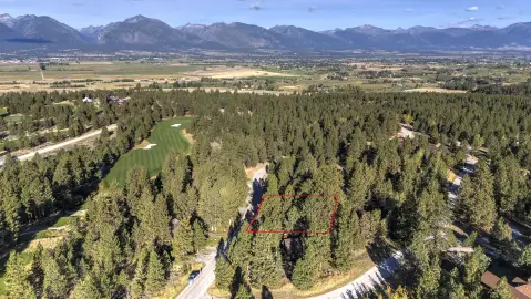
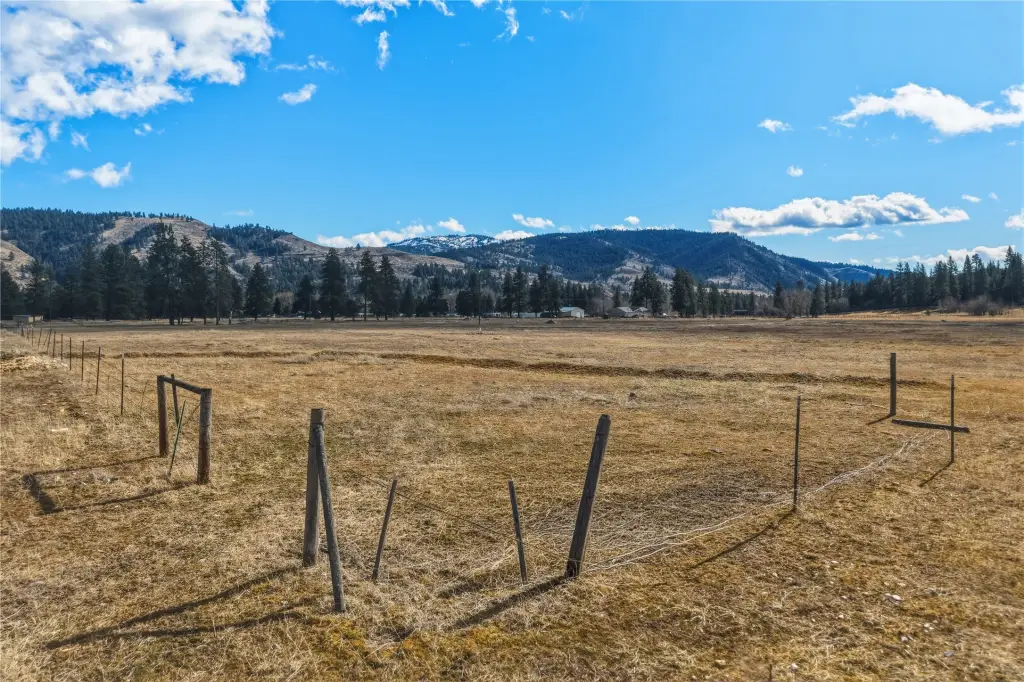
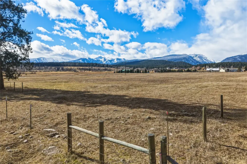
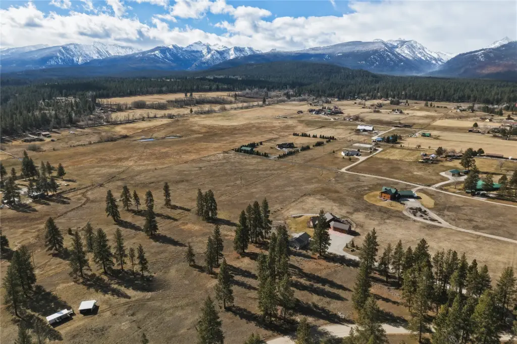
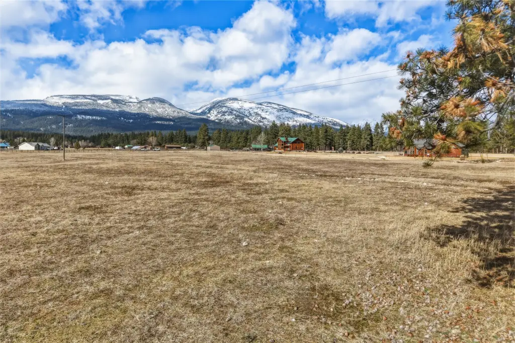
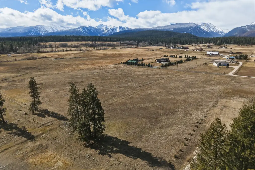
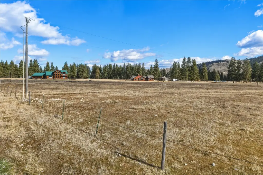
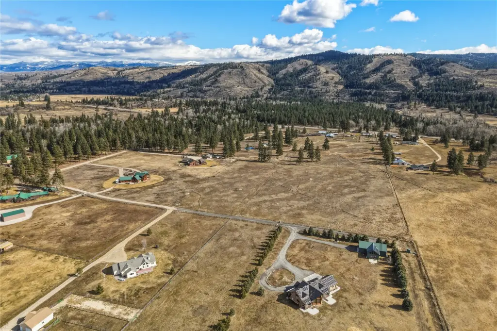
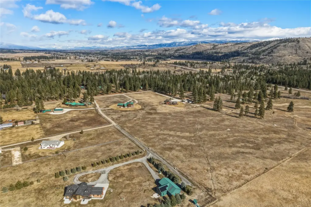
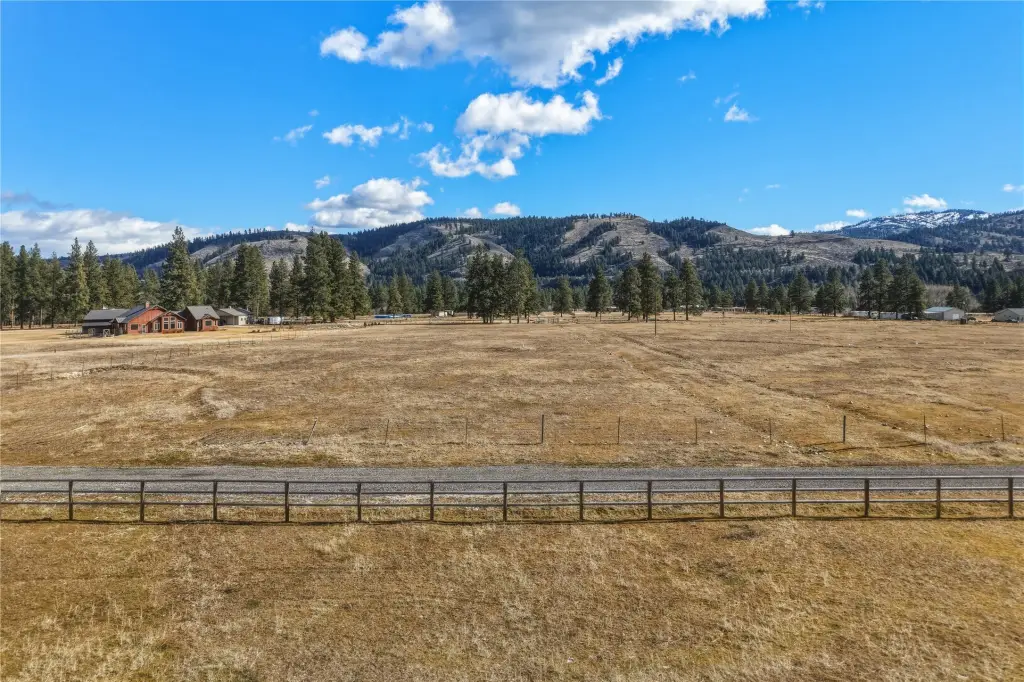
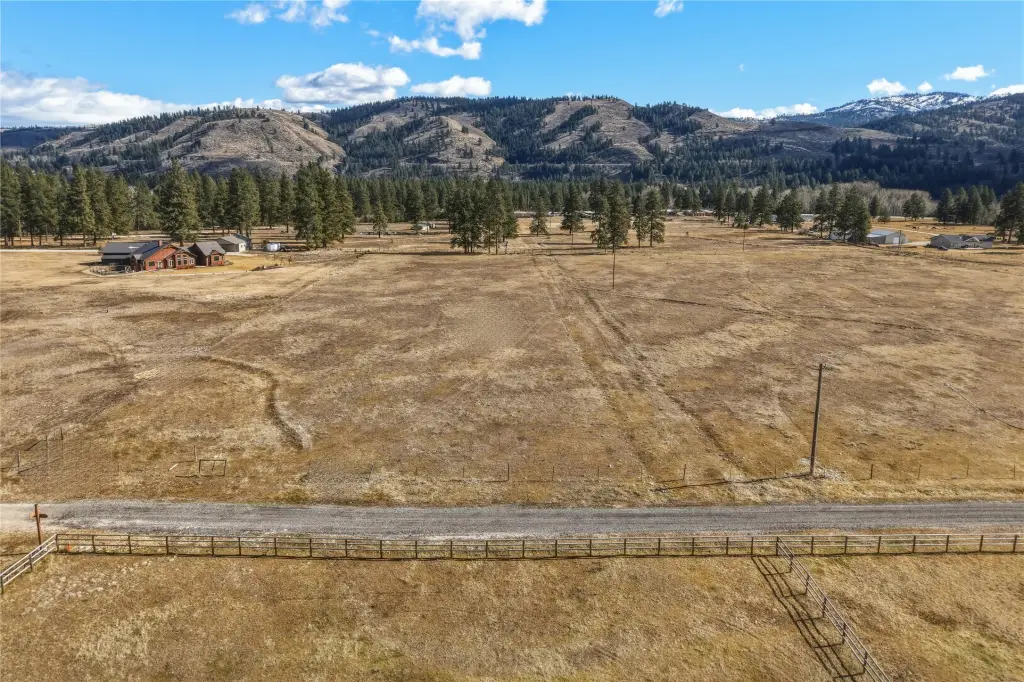
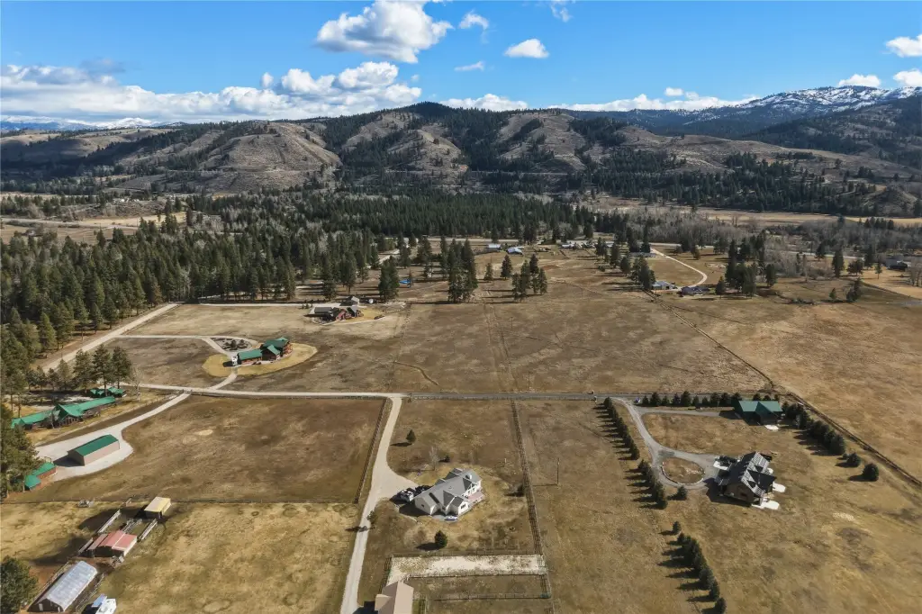
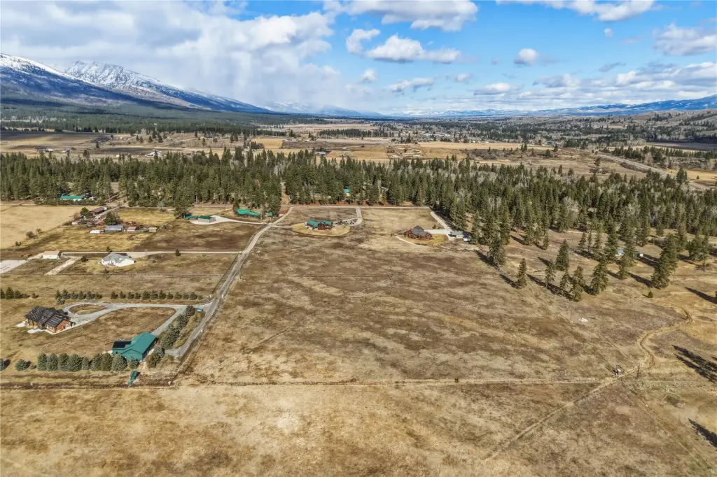
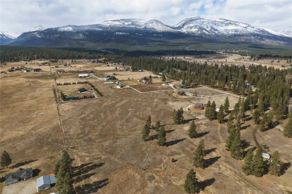
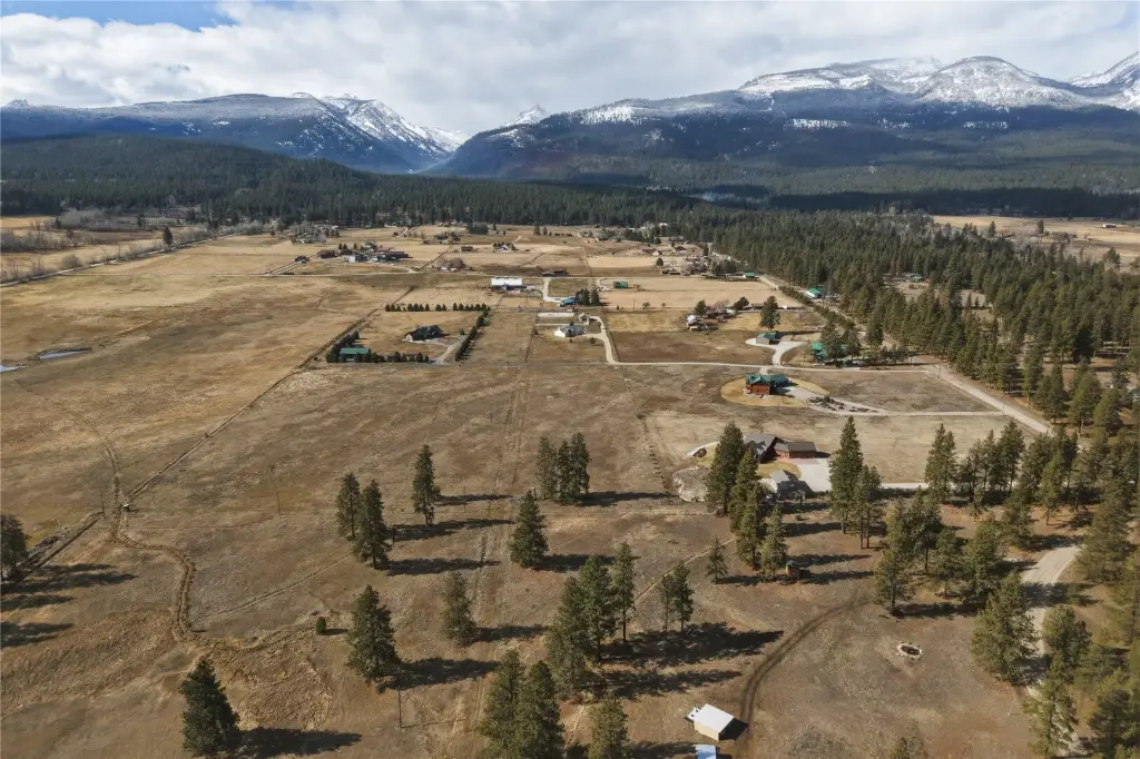
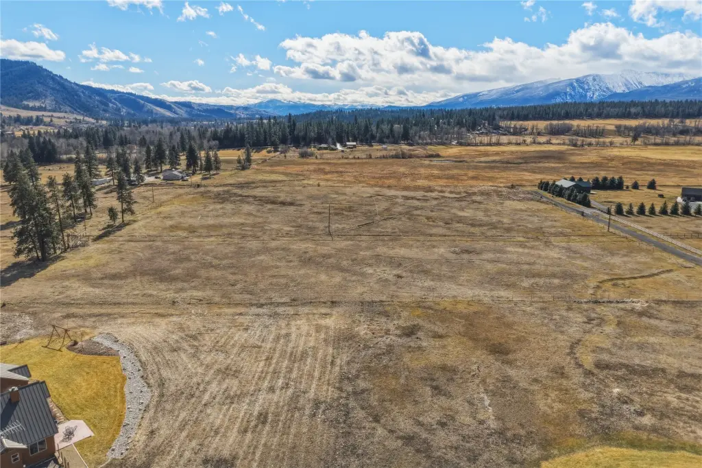
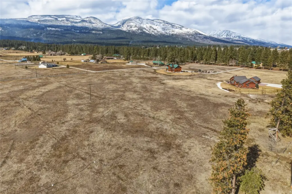
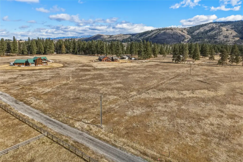
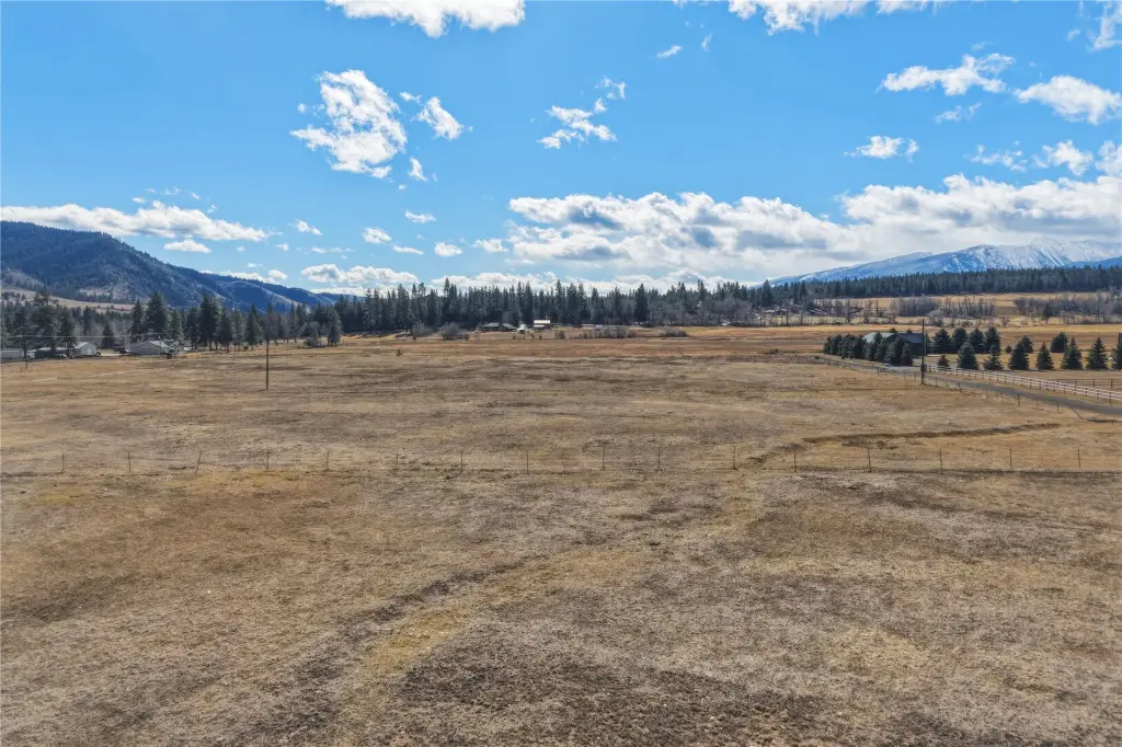
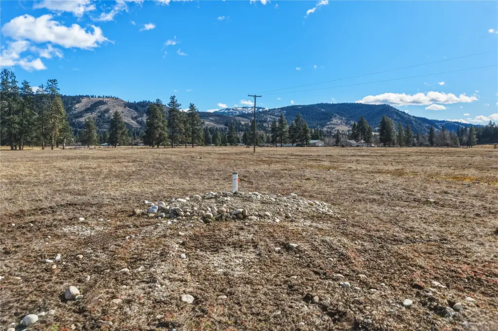
- Unobstructed 360‑degree views of the Bitterroot & Sapphire Mountains.
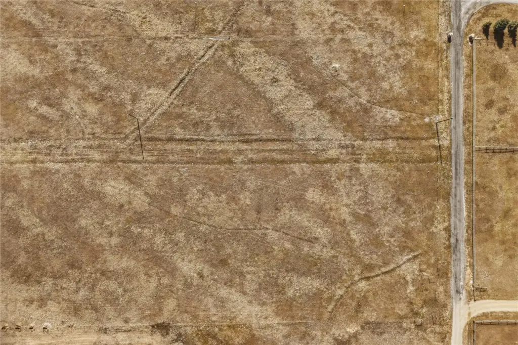
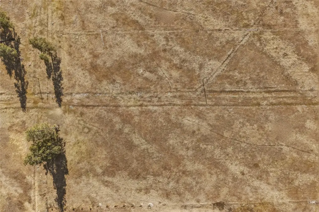
- 4.5‑acre level parcel offering generous spacing and privacy.
- Easy access and seclusion due to its location near US HWY 93s and a well‑maintained gravel road.