Goodpasture Hollow Rd, Marion, VA 24354
- Added:
- Jun 22, 2026
- Days on Market:
- 3
- Last Refresh:
- Jun 24 at 5:06 am
Property Features for Goodpasture Hollow Rd
General Information
- Property type
- Land
- Property subtype
- Other
- Zoning
- A/R
- Standard status
- Active
- Lot size
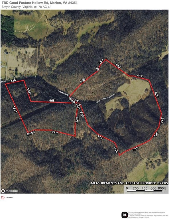
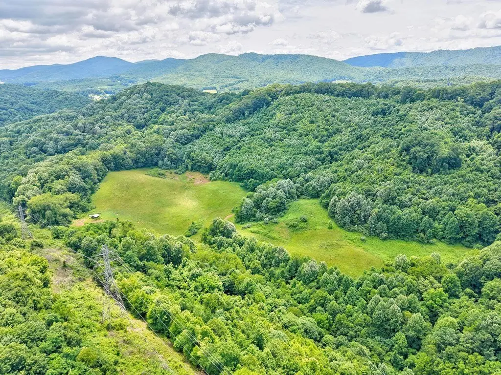
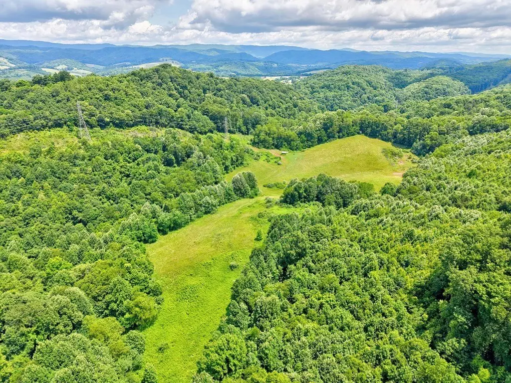
- 91.78 Acres
Taxes and HOA fees
- Tax Year
- 2024
- Tax Annual Amount
- 336
Utilities
- Utilities
- Water Available
- Water front features
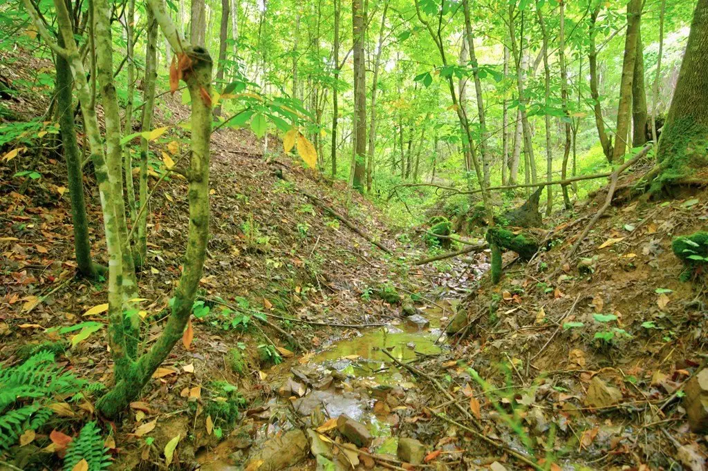
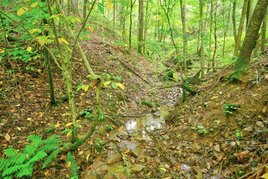
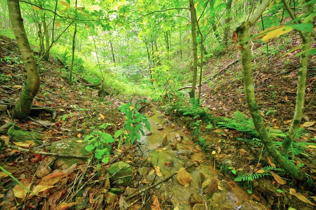
- Creek
Building Details
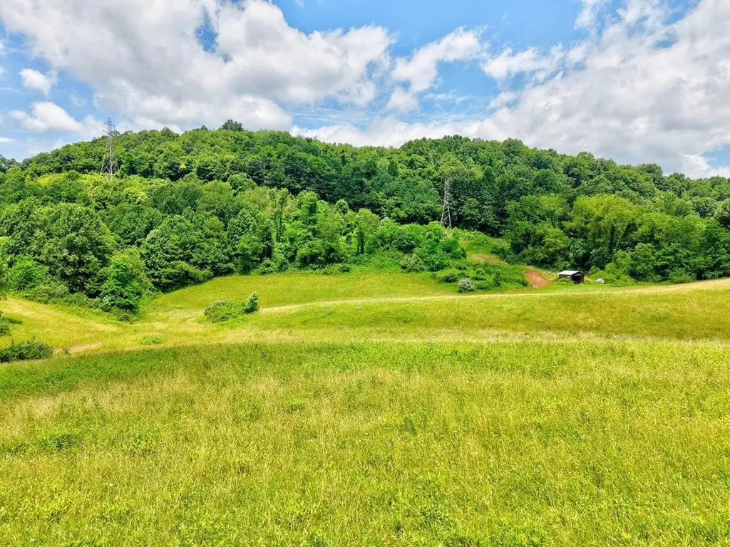
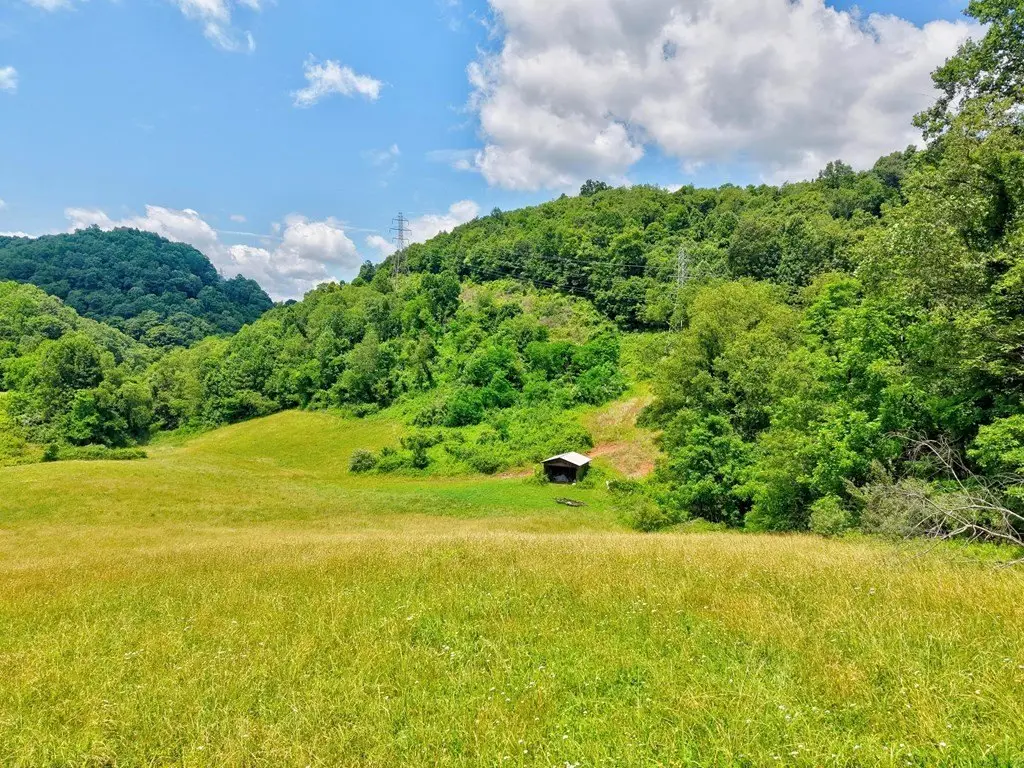
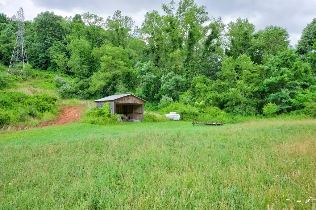
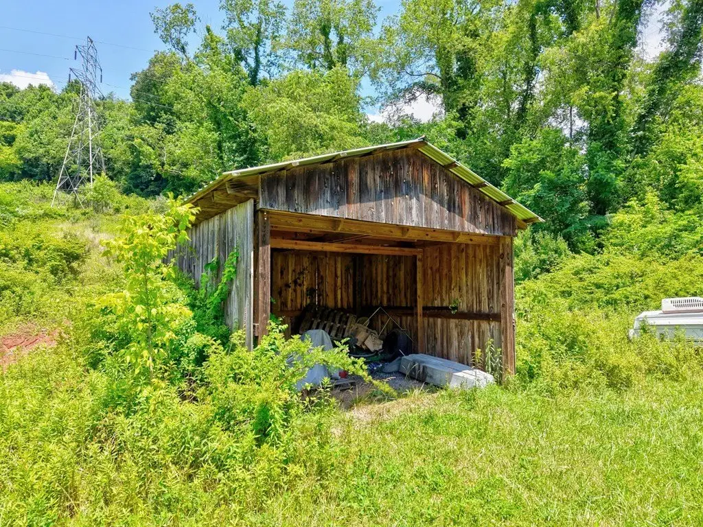
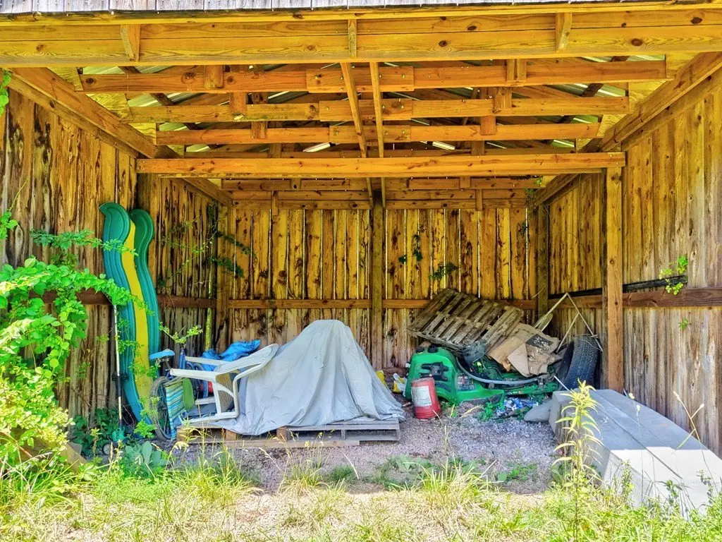
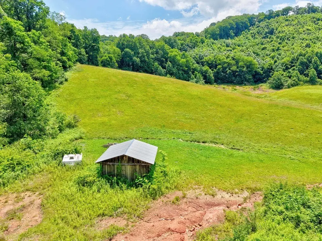
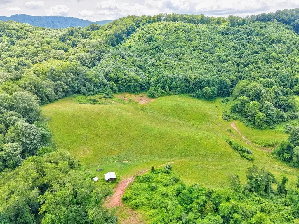
- Additional Structures
- Outbuilding
Listing agent Mary Ratihn License #0225240260 (276) 780-0986
Listing office BHHS- Mountain Sky Properties, Wytheville 305 N 4th Street Suite B, Bland, VA (276) 228-8882
Listing date Jun 22, 2026
Copyright © 2026 Southwest Virginia Association of Realtors. All rights reserved. All information provided by the listing agent/broker is deemed reliable but is not guaranteed and should be independently verified.
HighLights
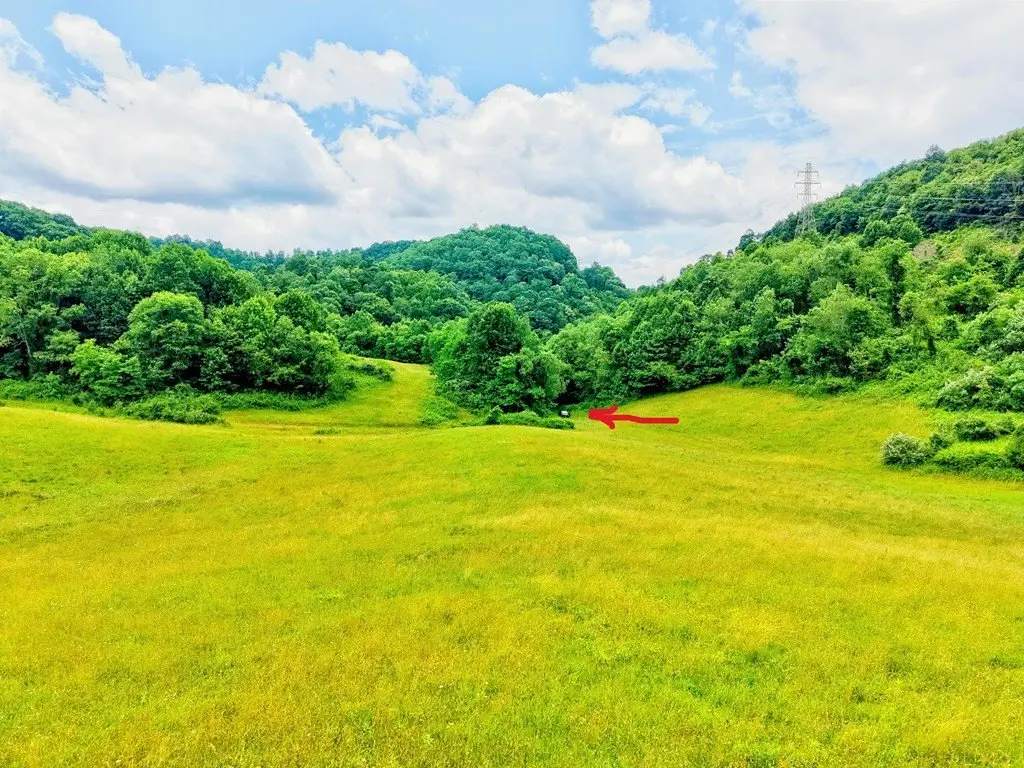
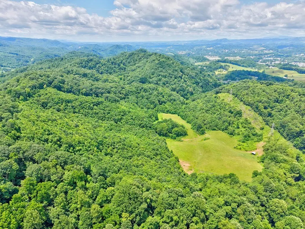
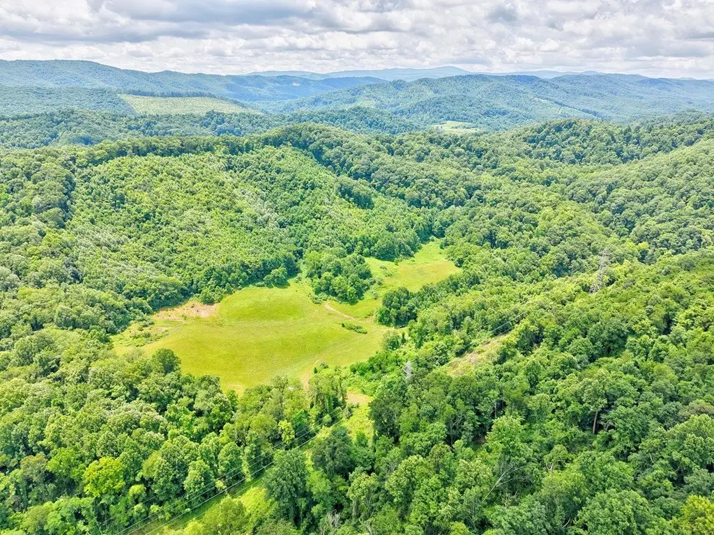
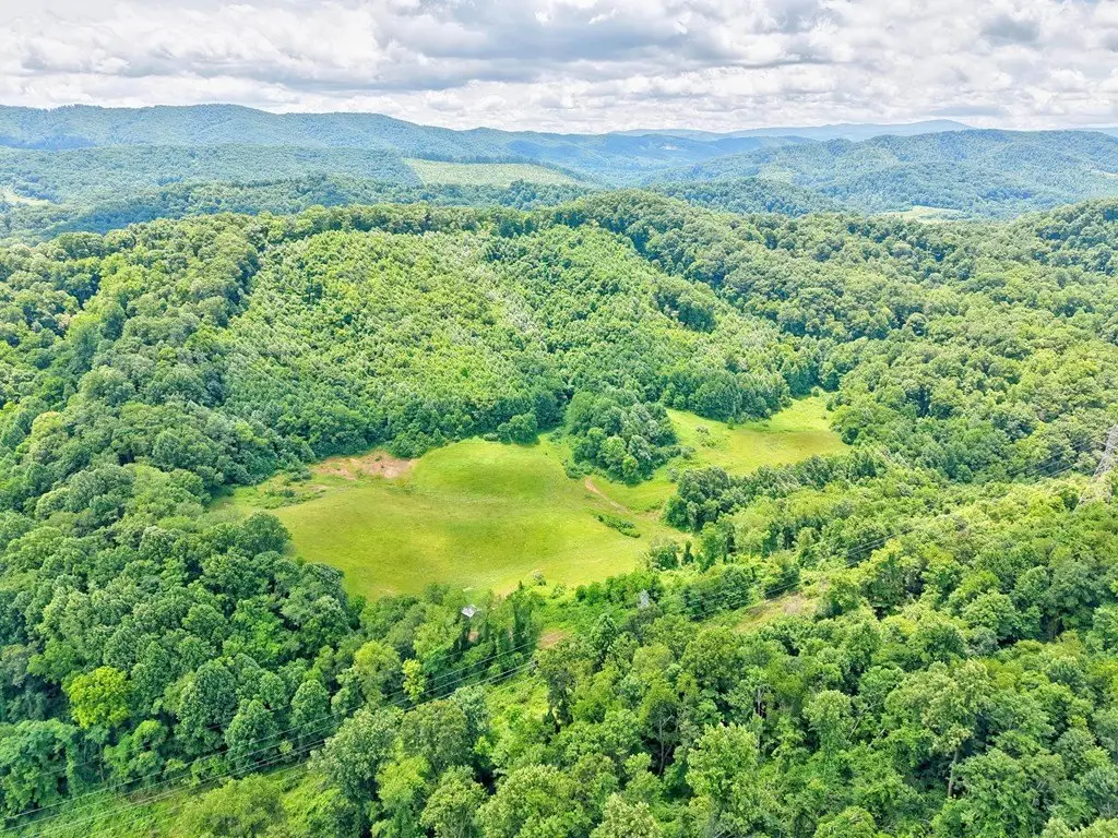
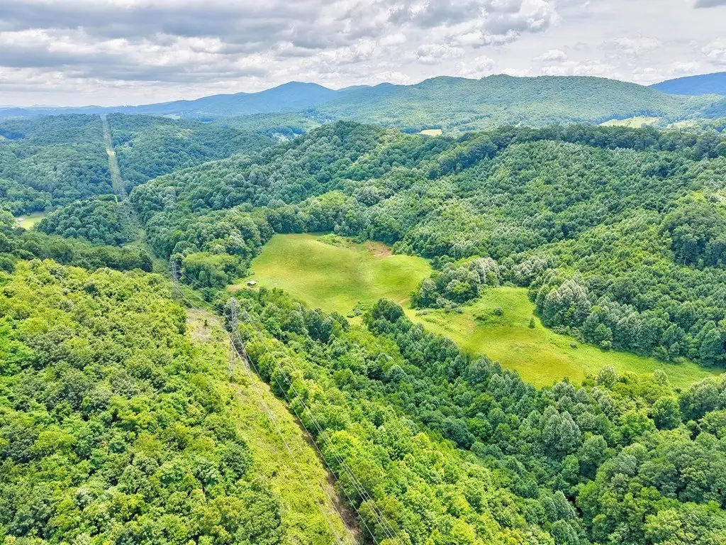
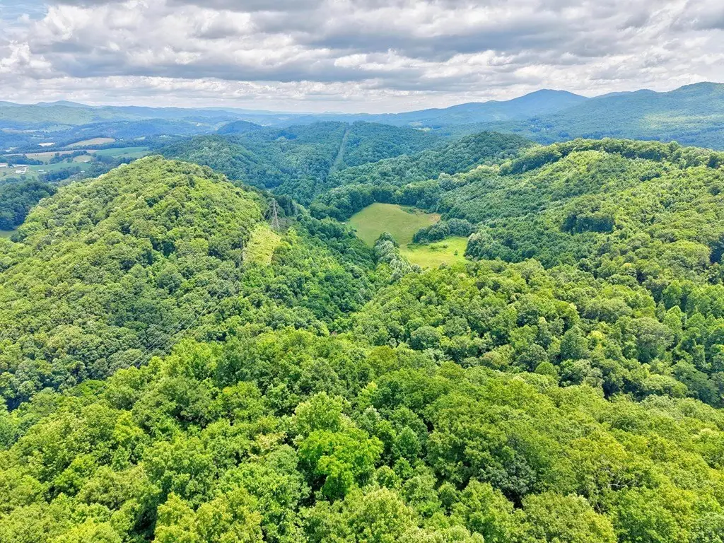
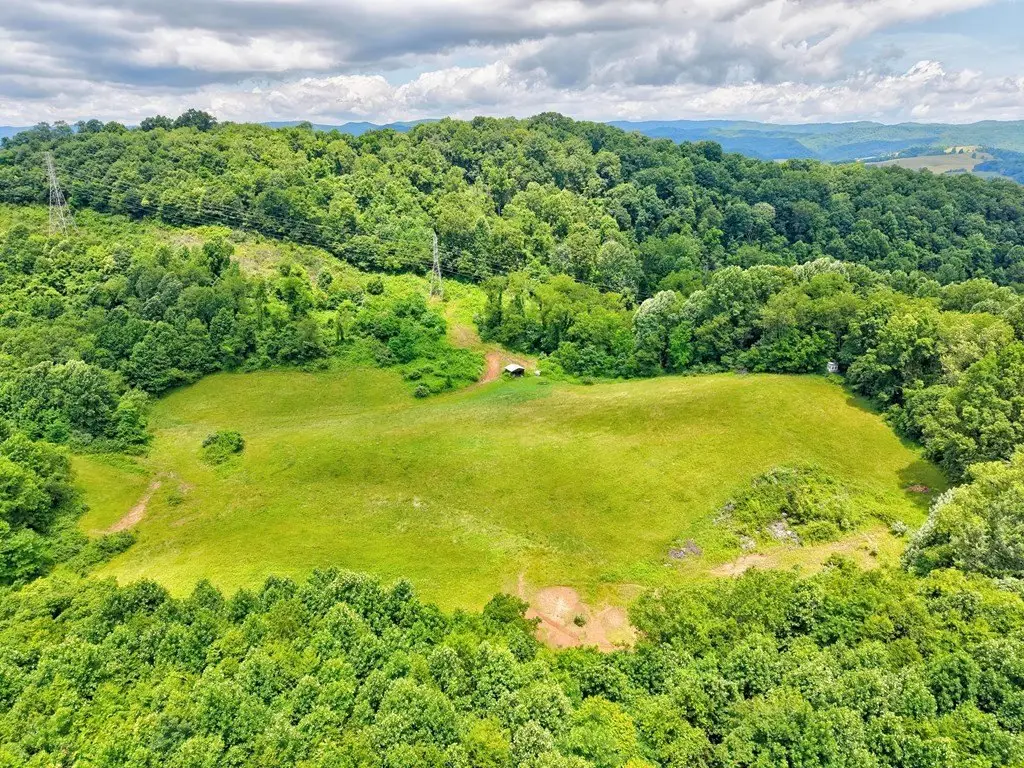
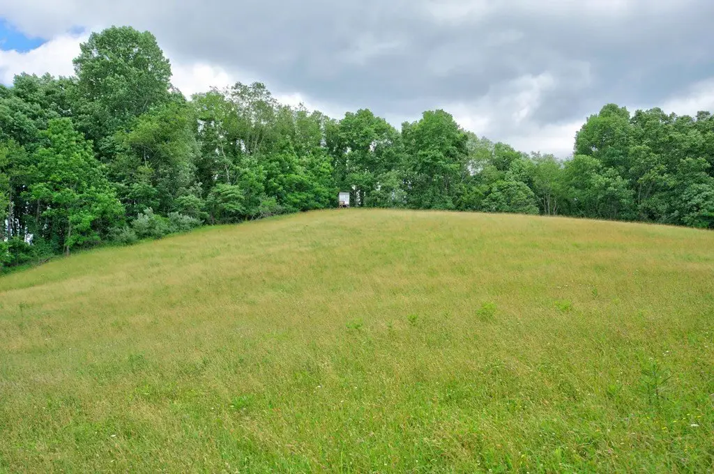
- Large acreage just outside Marion city limits near the General Dynamics plant
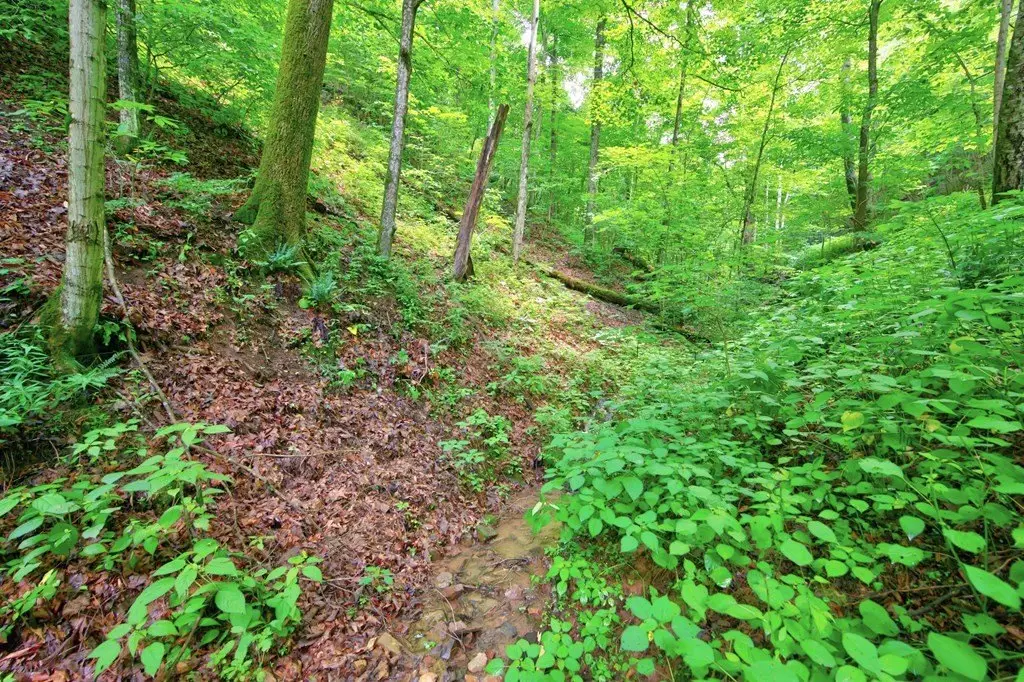
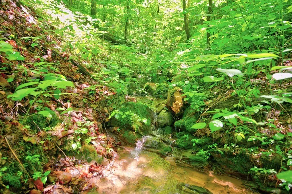
- Creek feature on the property
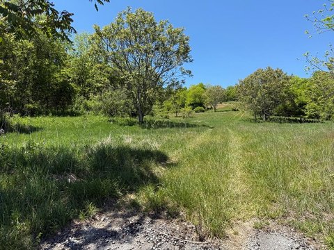
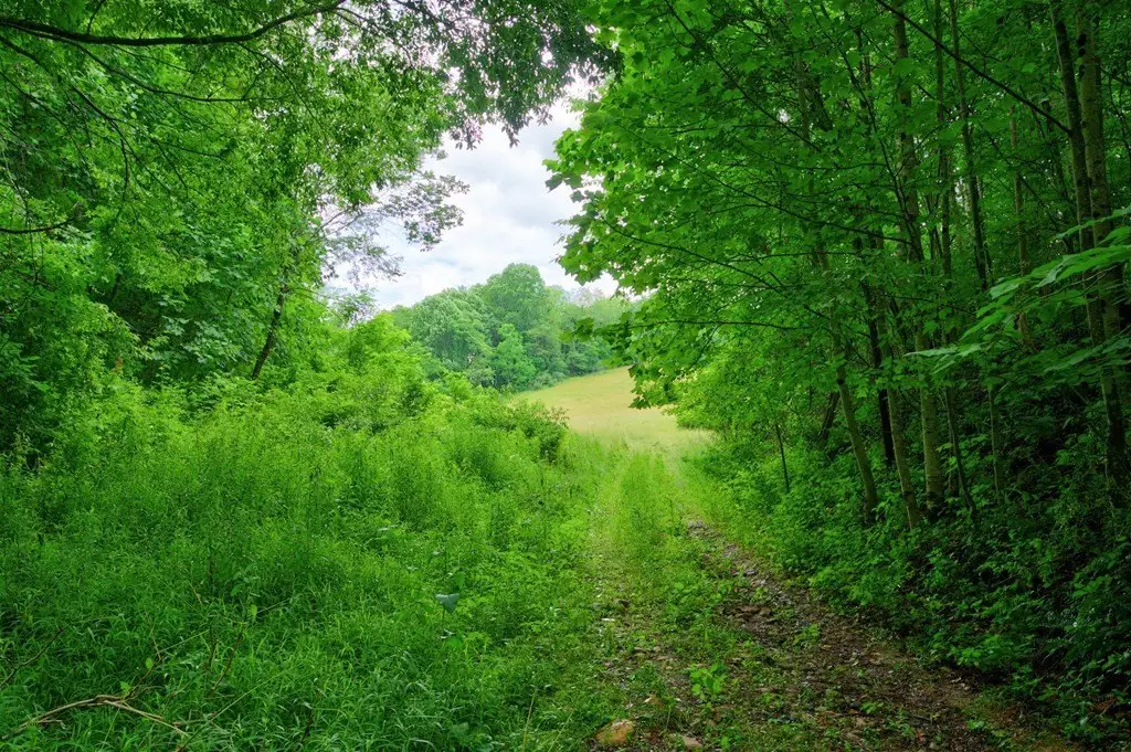
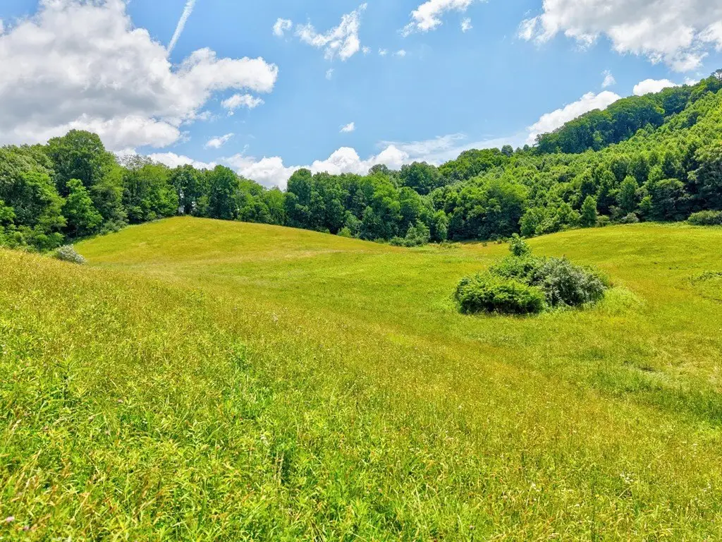
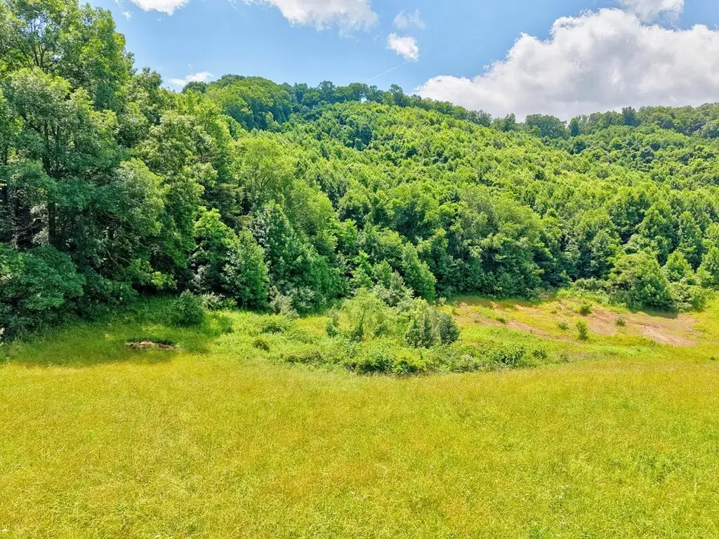
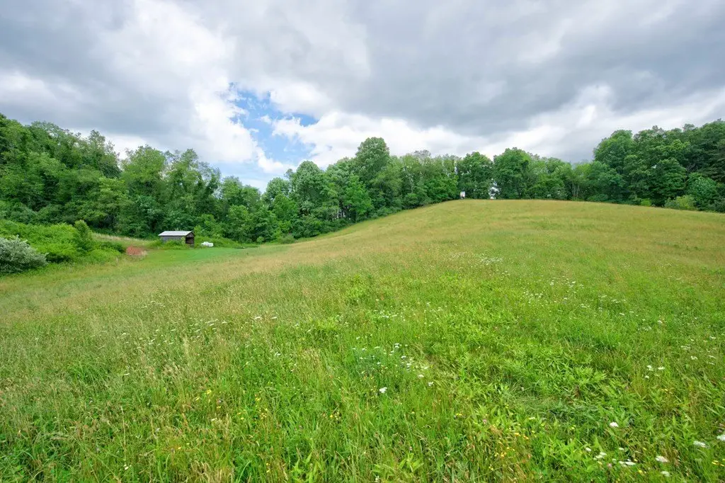
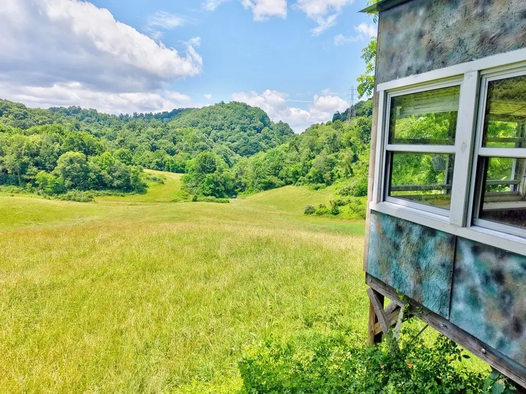
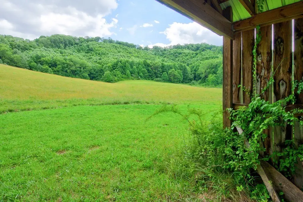
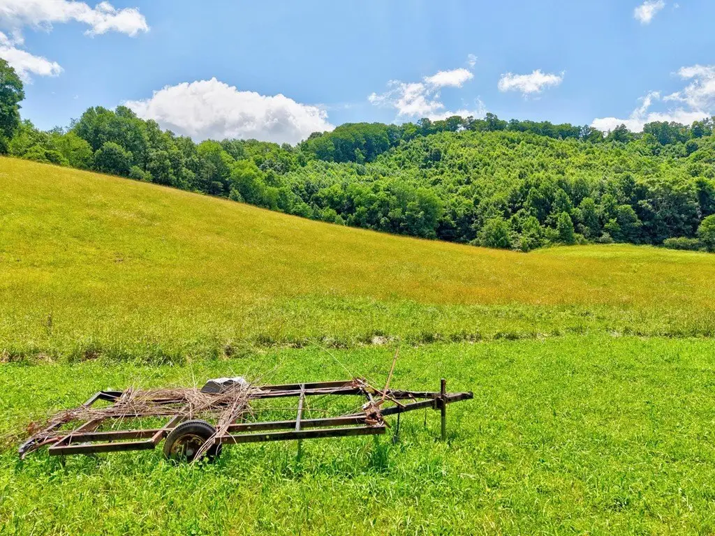
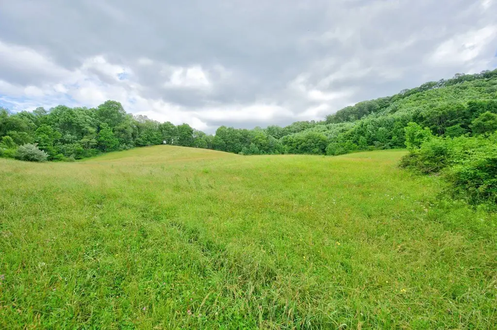
- About 10 acres in active hay field; remainder is wooded
- Public water runs until just before the property gate
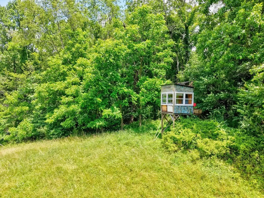
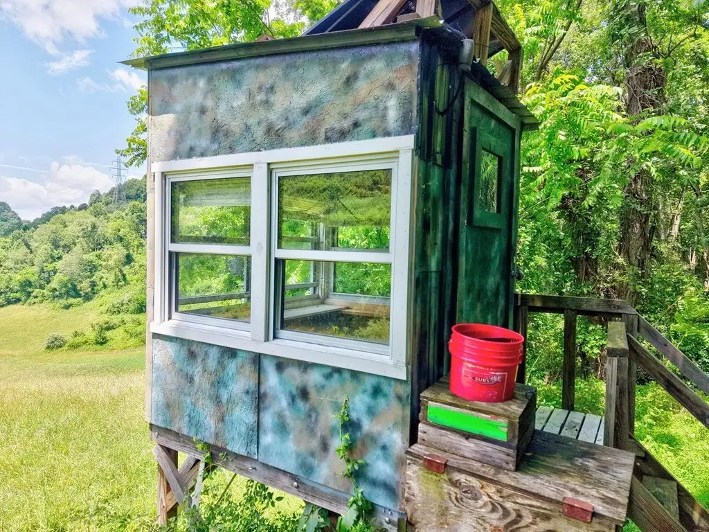
- Hunting stand already in place on the land
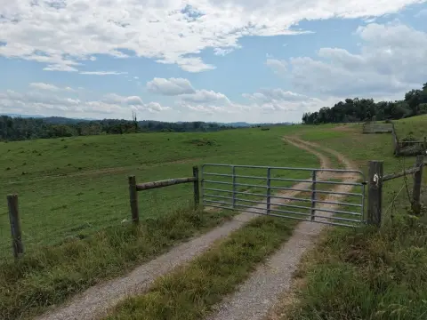
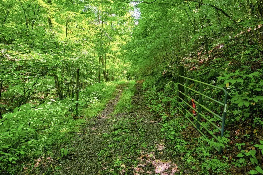
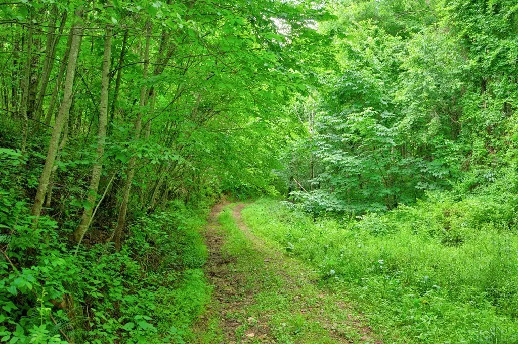
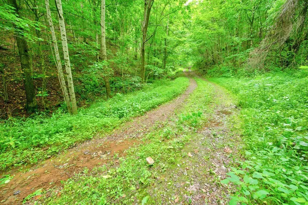
- Goodpasture Road turns into a gravel road; property can be accessed via the gate
Overview
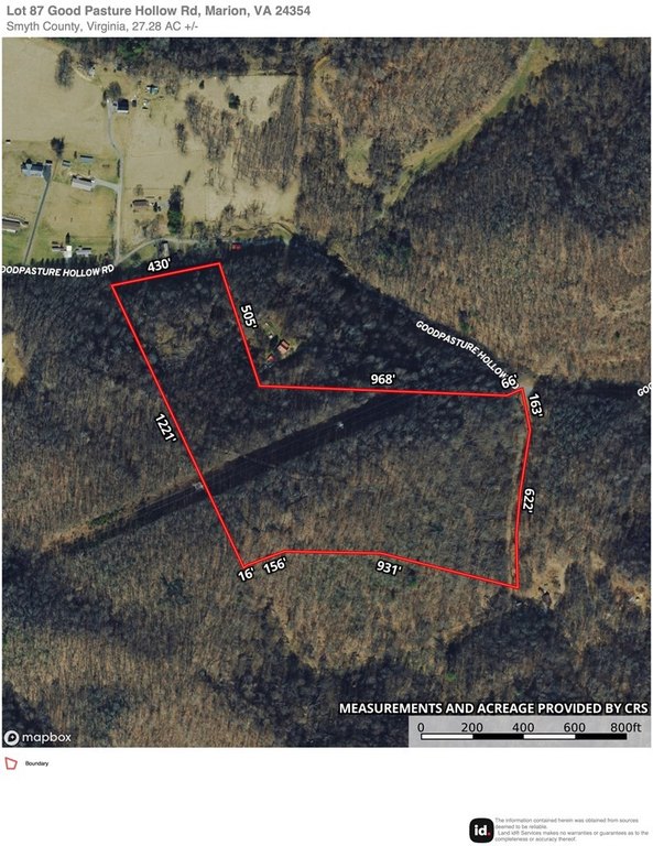
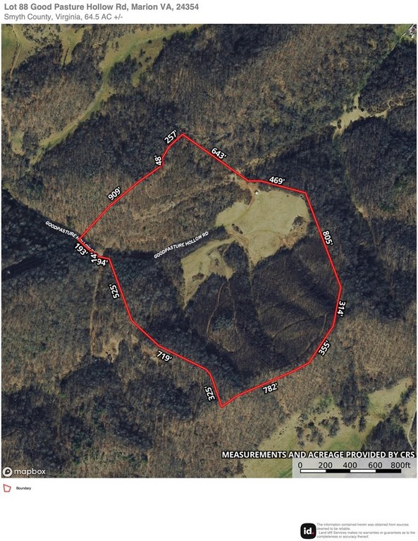
The land sits just outside Marion city limits near the General Dynamics plant. The listing notes the acreage can be sold separately by Tax Map #'s, and it is also marketed separately under MLS #110671 and #110673. Access is via Goodpasture Road, which turns into a gravel road; the route continues until the property gate. Public water runs until just before the gate.
For buyers seeking rural acreage for recreation, hunting, or mixed land use, the combination of active hay ground, wooded cover, and an on-site hunting stand provides a practical foundation. For anyone considering a homesite, the wooded-and-field layout and the seller’s identified home spots may support future planning, with public water available up to near the gate. The A/R zoning can also align with agricultural and related uses consistent with the property’s current hay field.
Current Use by Public Records
Map
- City
- Marion
- County
- Smyth
- State
- Virginia
- Longitude
- -81.475064
- Latitude
- 36.8382329