160 Acres Near Black
unspecified, Gerlach, NV 89412


- Added:
- Mar 21, 2023
- Days on Market:
- 1170
- Last Refresh:
- Jun 2 at 3:06 pm
Property Features for unspecified
General Information
- Property type
- Land
- Property subtype
- Other
- Zoning
- Gr
- Standard status
- Active
- APN
- 066-090-23
- Lot size
- 160.00 Acres
Taxes and HOA fees
- Tax Annual Amount
- 157
Listing agent Kautz Zinda Real Estate Group (775) 527-5799
Listing office Realty One Group Eminence 670 Sierra Rose Dr., Reno, NV (775) 683-3360
Listing date Mar 21, 2023
MLS# 230002468
Listing URL
Copyright © 2026 Northern Nevada Regional MLS, Inc. All rights reserved. All information provided by the listing agent/broker is deemed reliable but is not guaranteed and should be independently verified.
HighLights
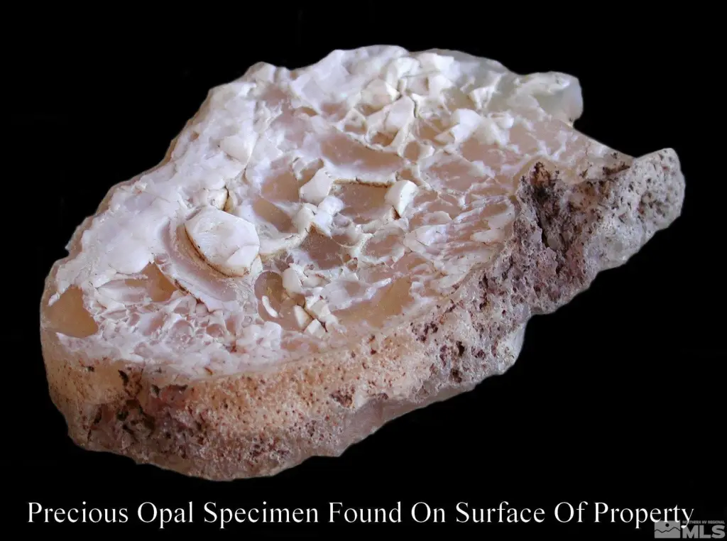
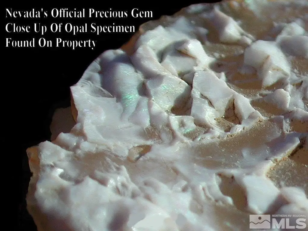
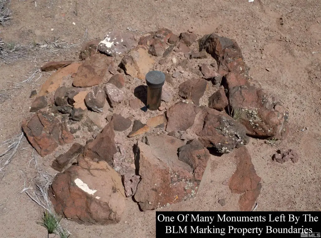
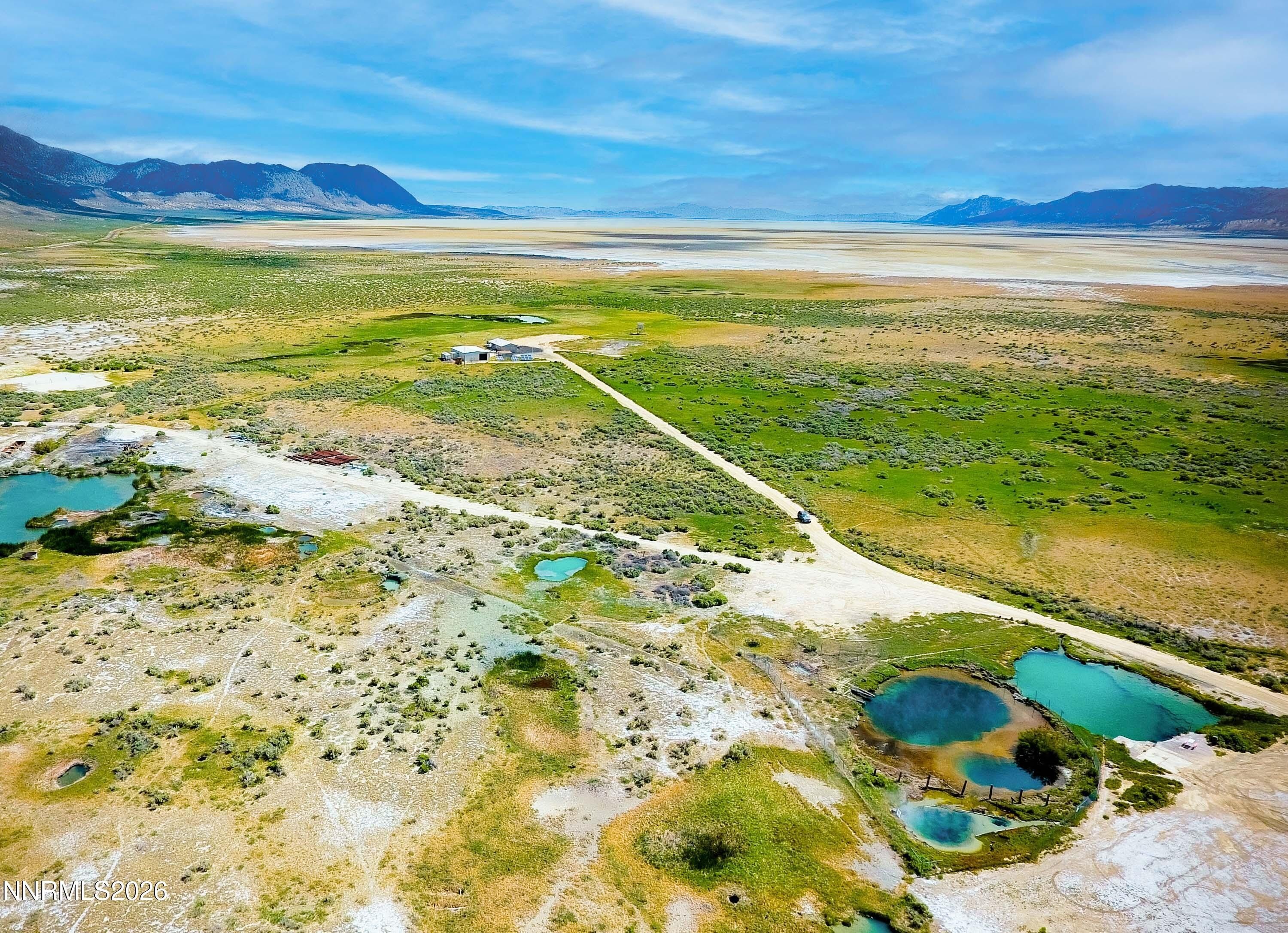
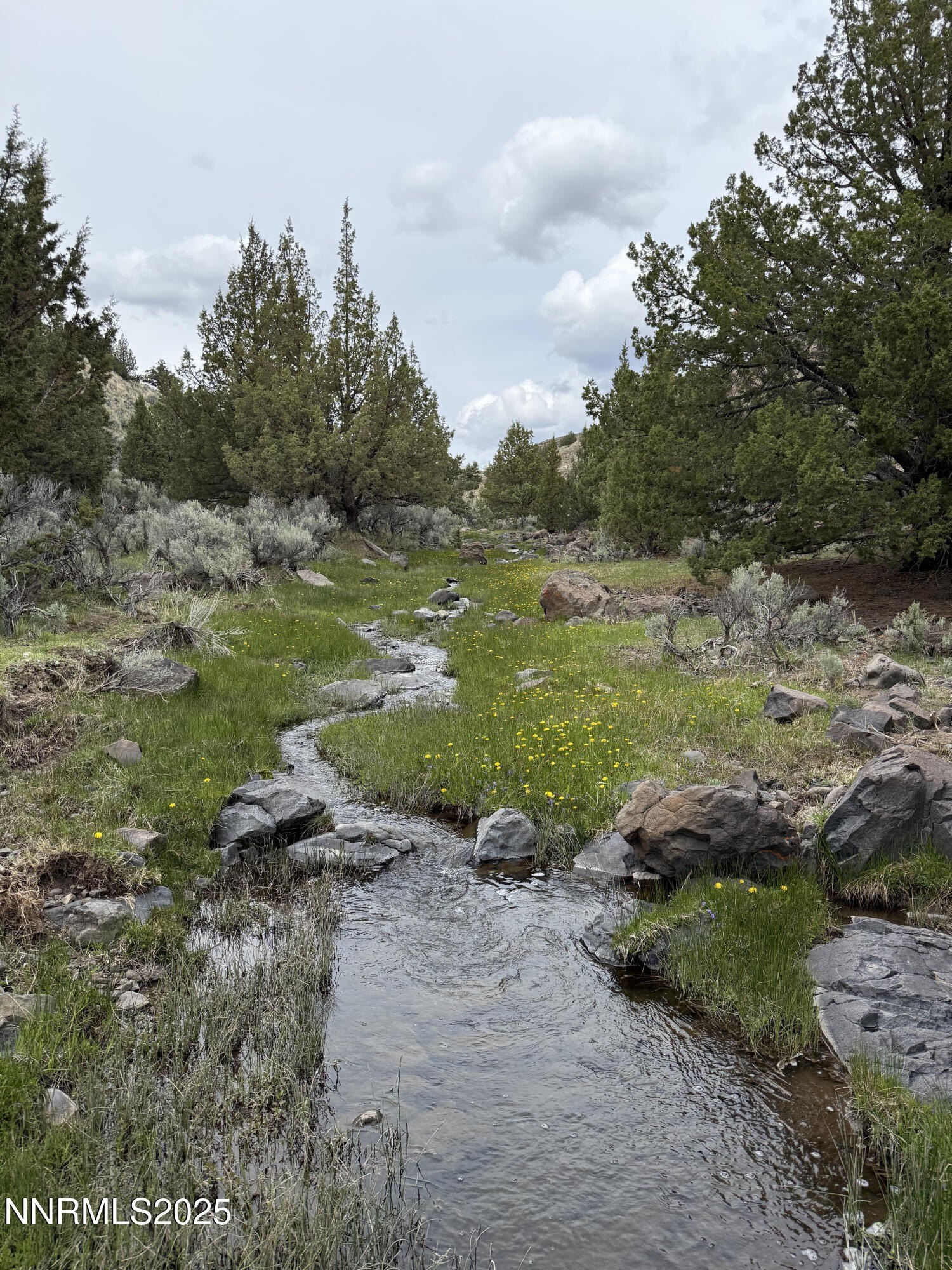
- 160 acres of patented land with 100% mineral rights for ultimate land ownership.
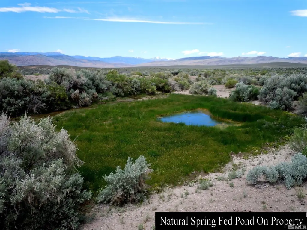
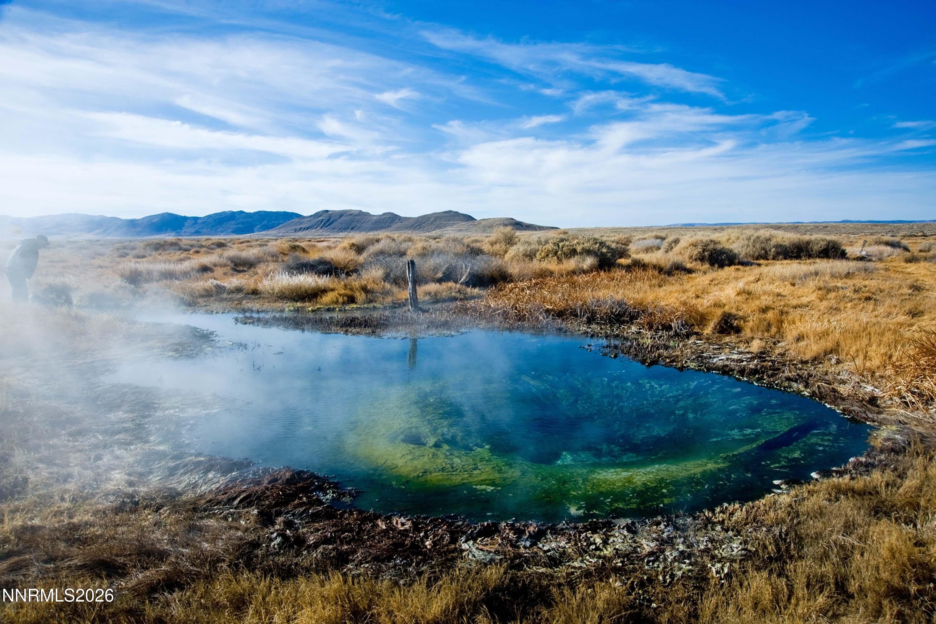
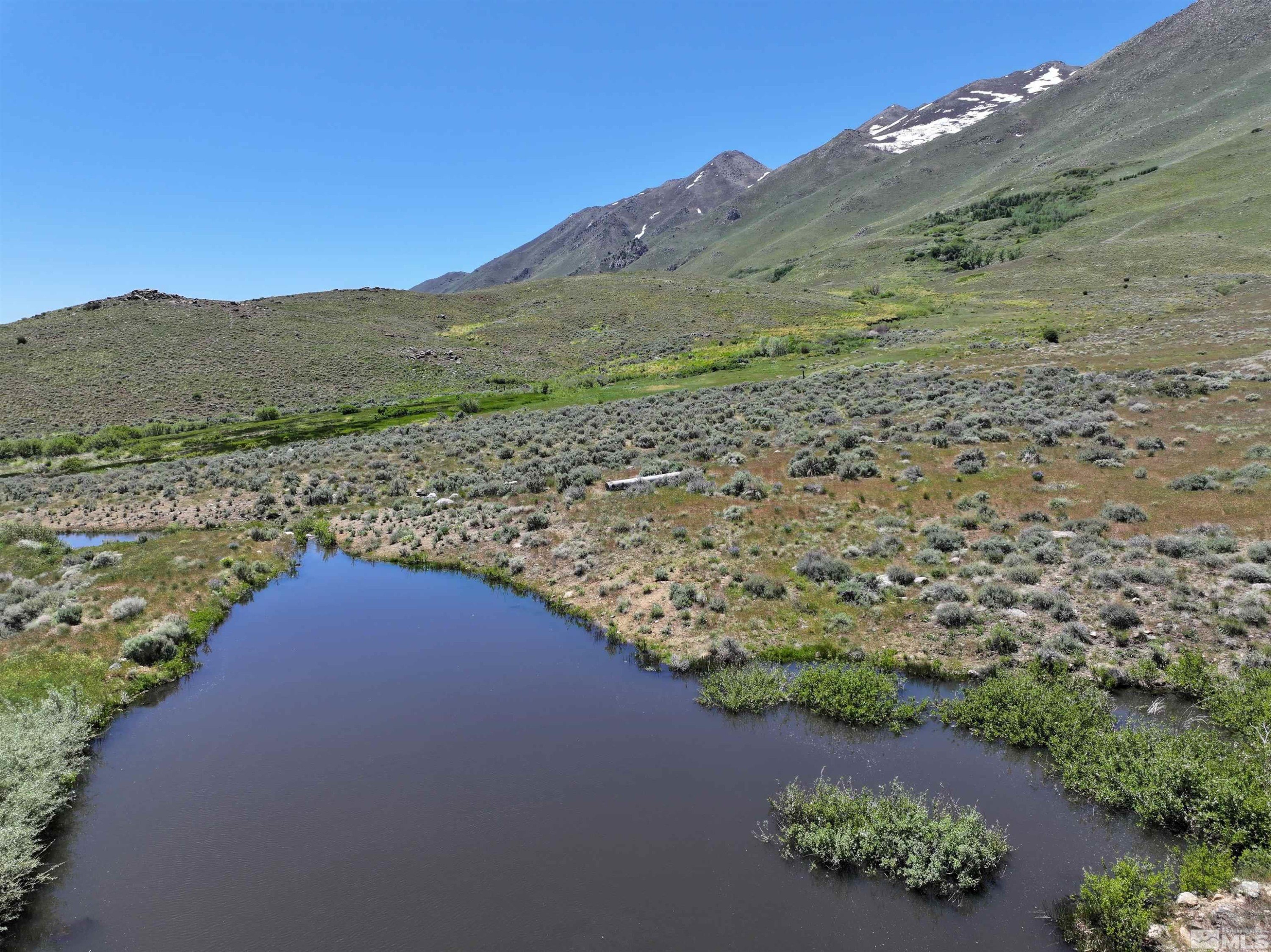
- Features Cherry Creek frontage (~3,207 feet) and a pond, enhancing natural beauty.
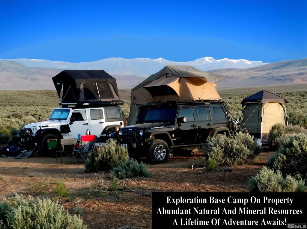
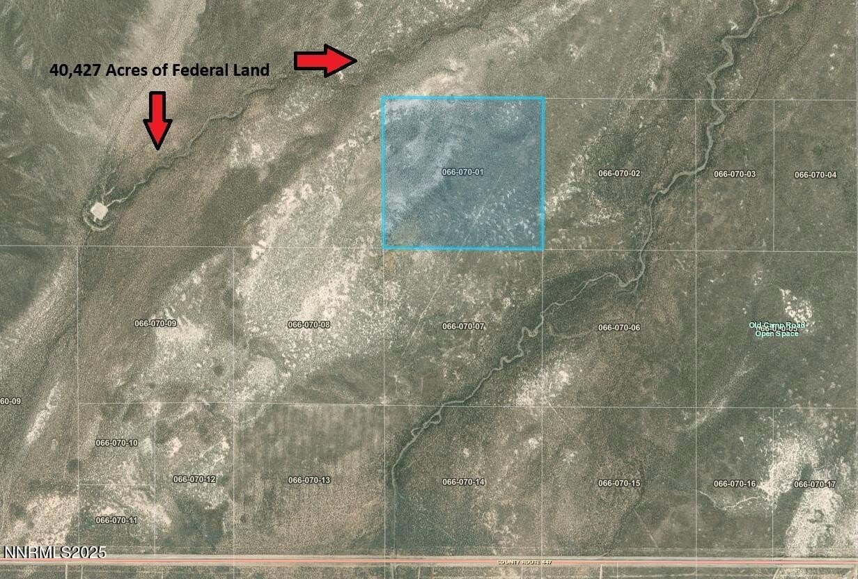
- Surrounded by 20,434 acres of BLM land, ensuring privacy.
- Located in Washoe County, Nevada, approximately an hour from Black Rock (Burning Man site).
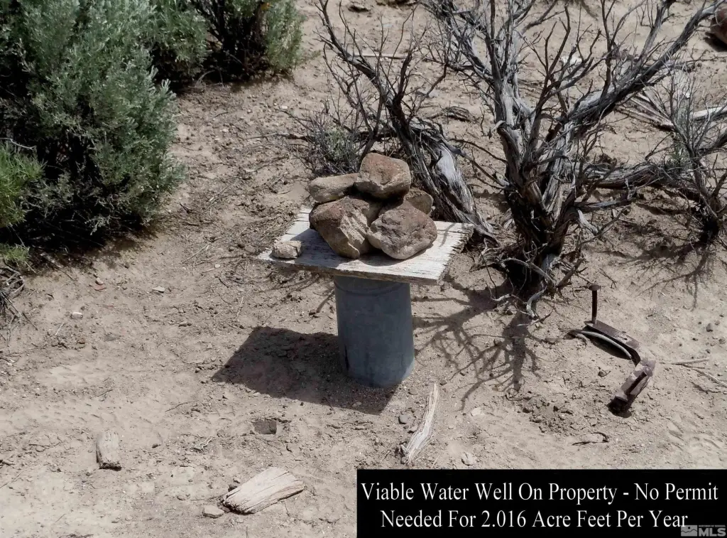
- Includes a water‑producing well near the center of the parcel.
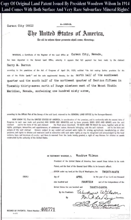
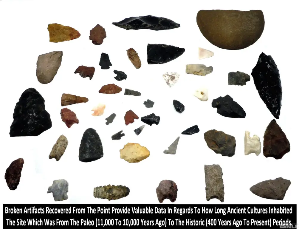
- Historical significance with an intact title bundle dating back to 1914.
Overview
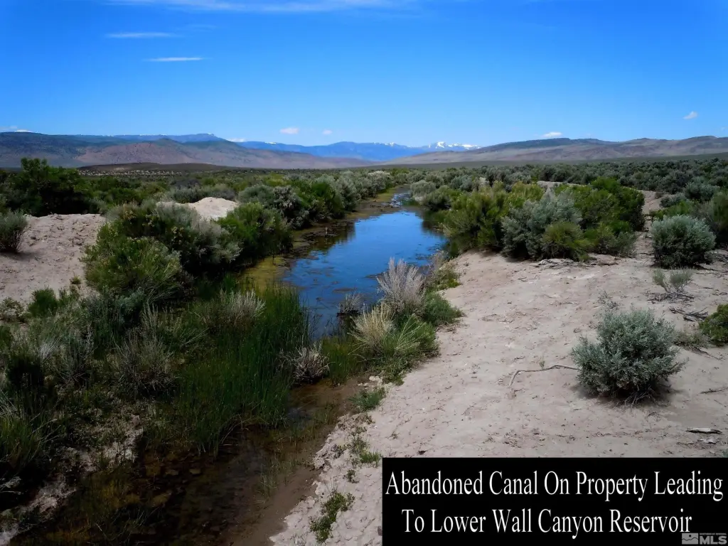
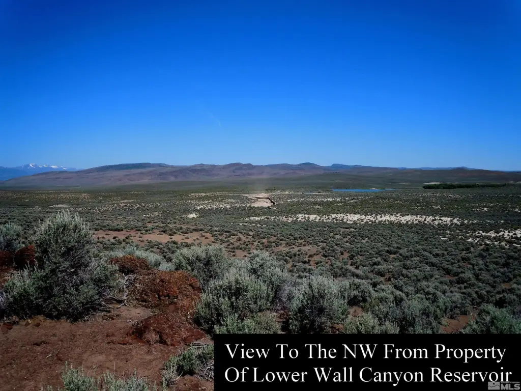
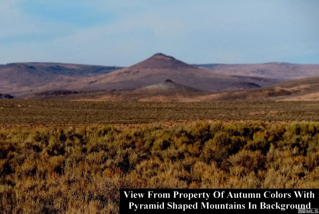
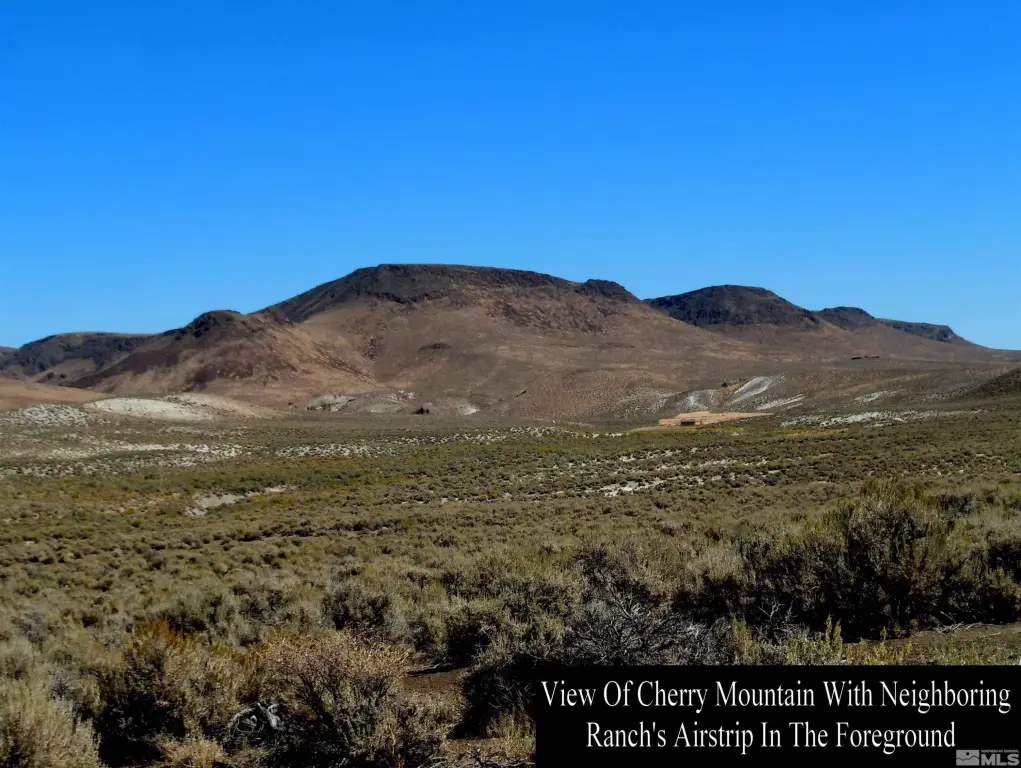
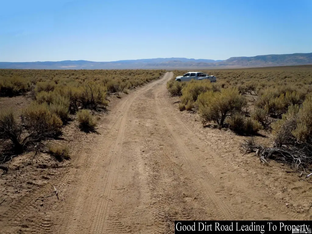
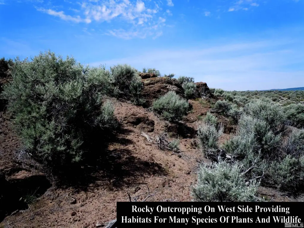
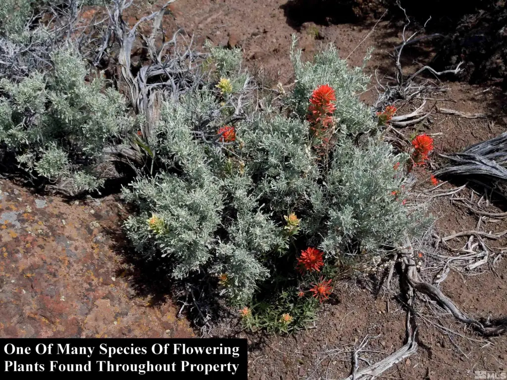
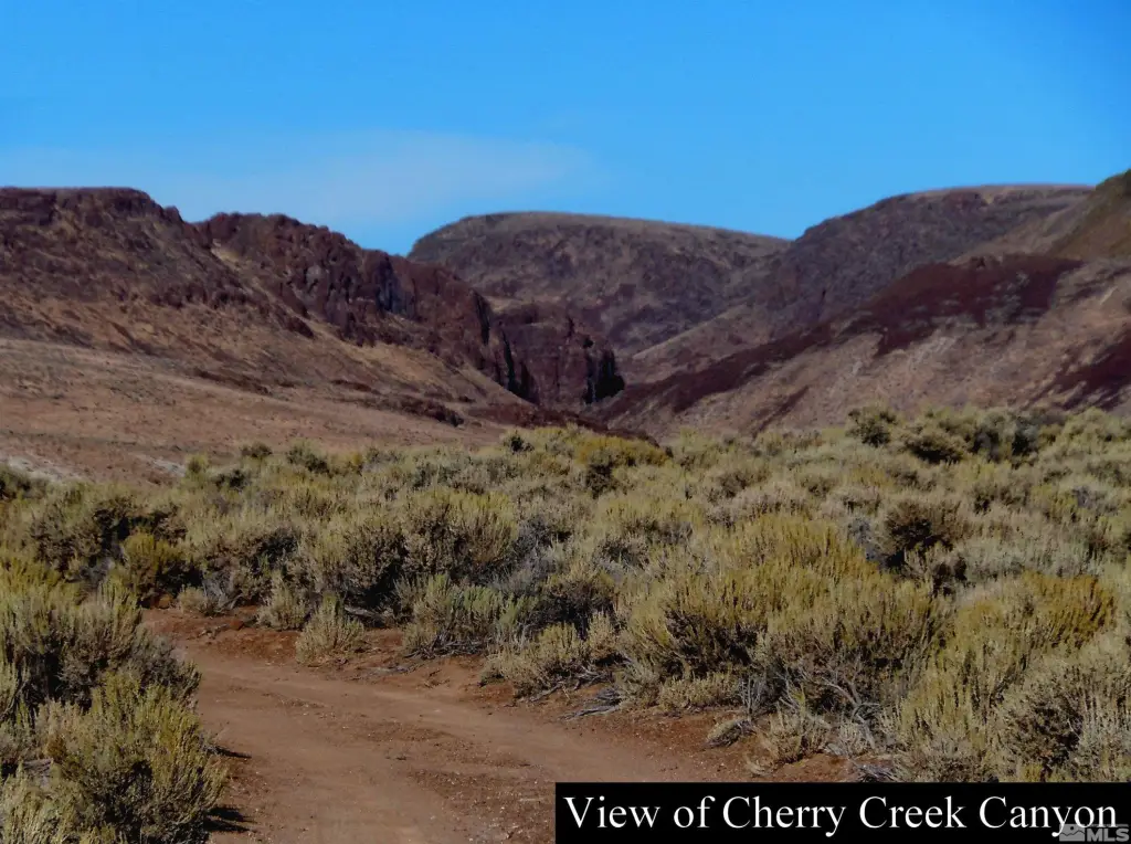
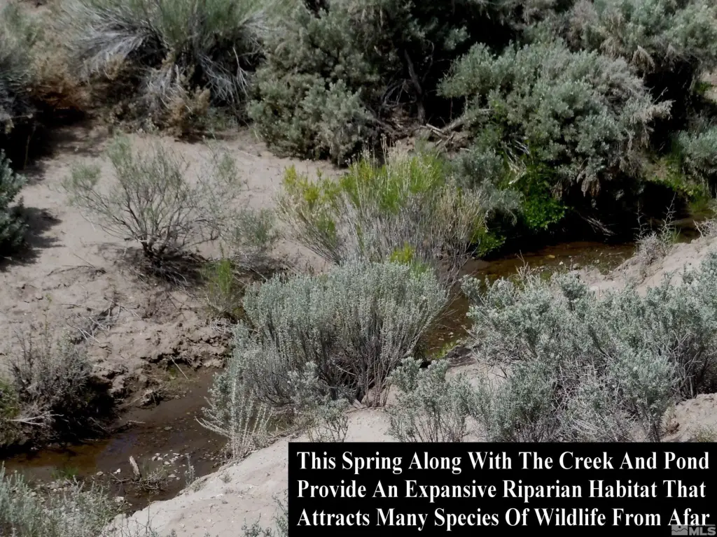
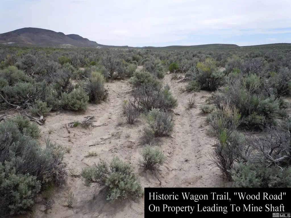
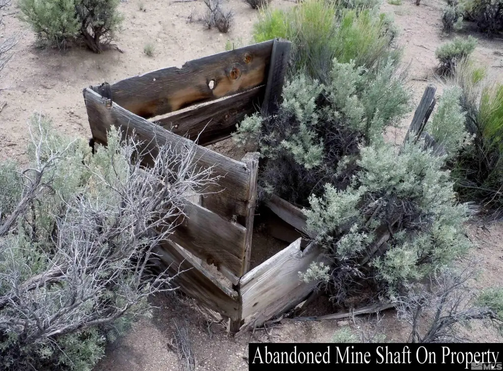
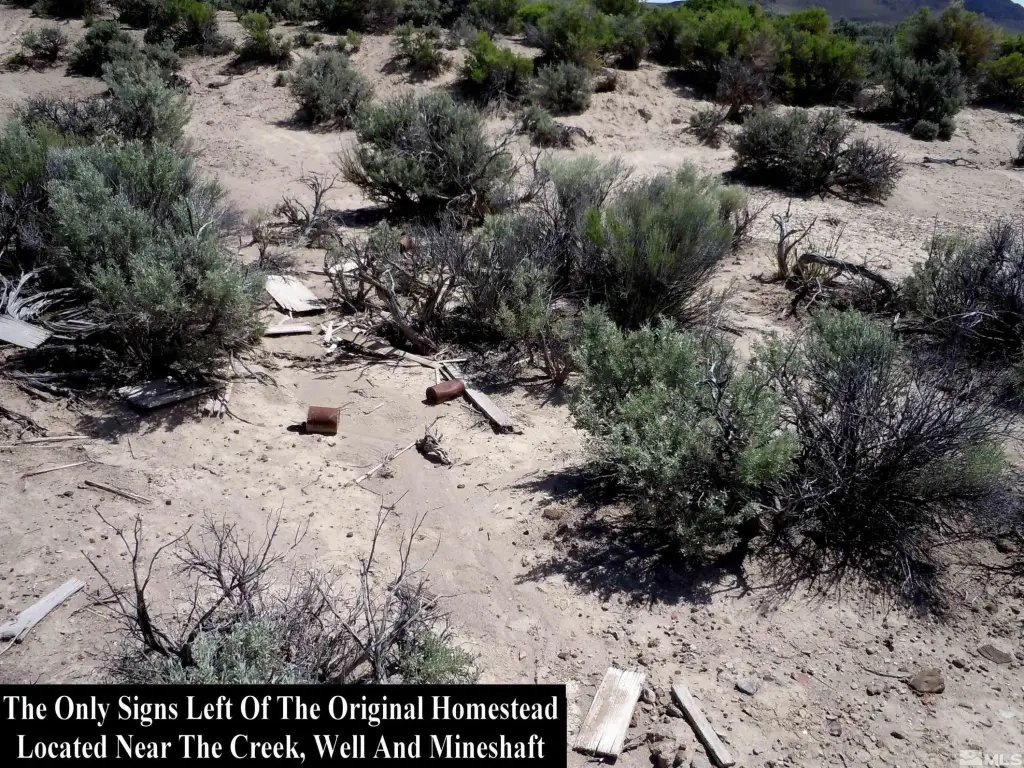
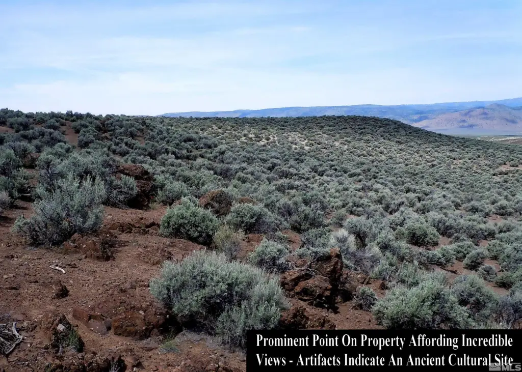
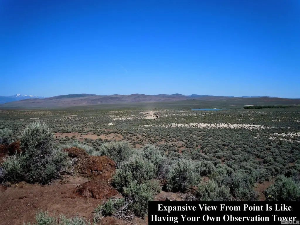
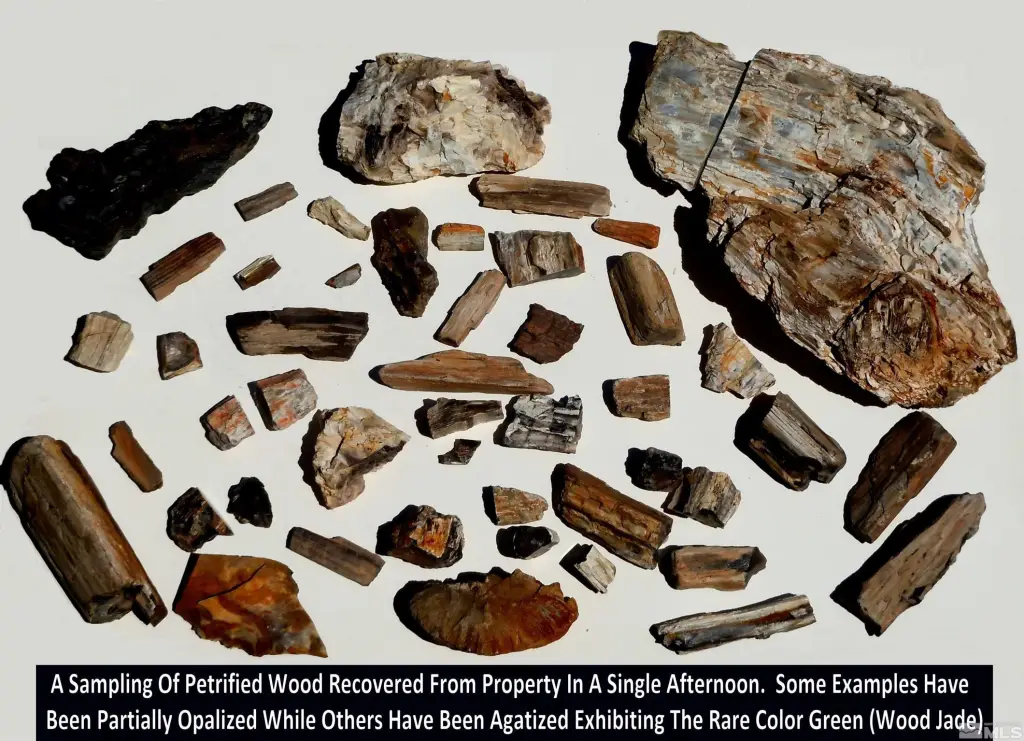
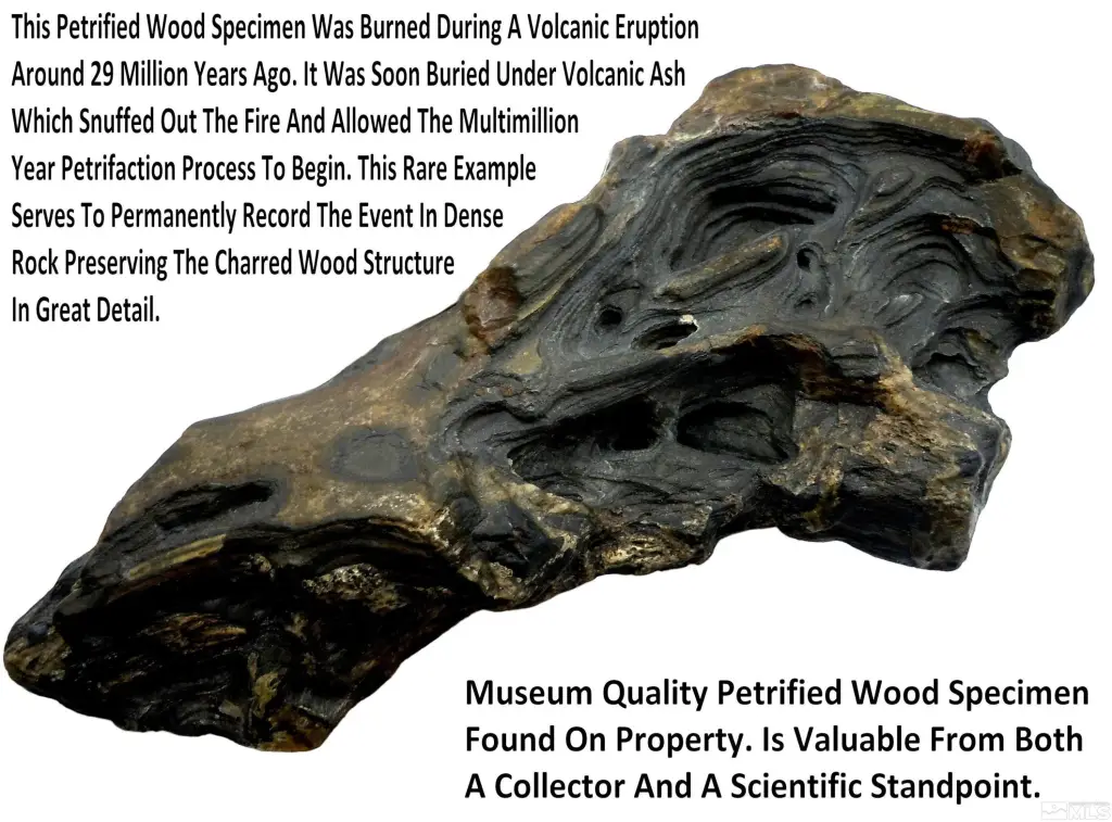
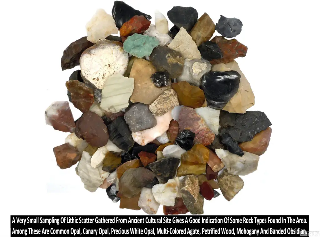
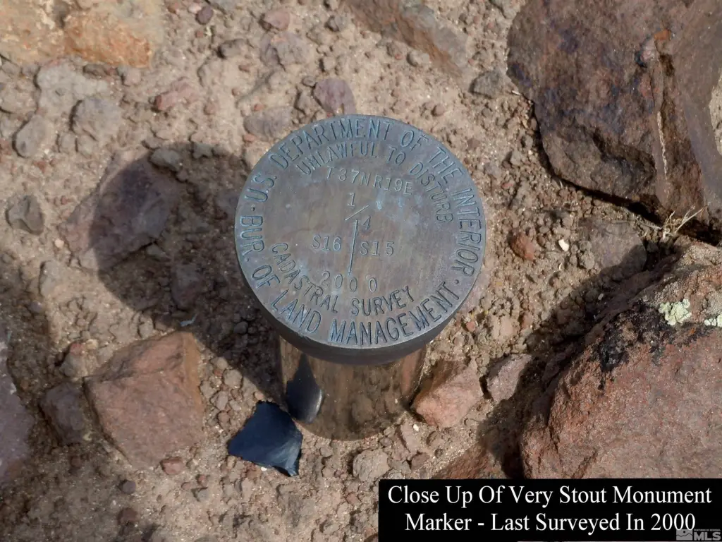
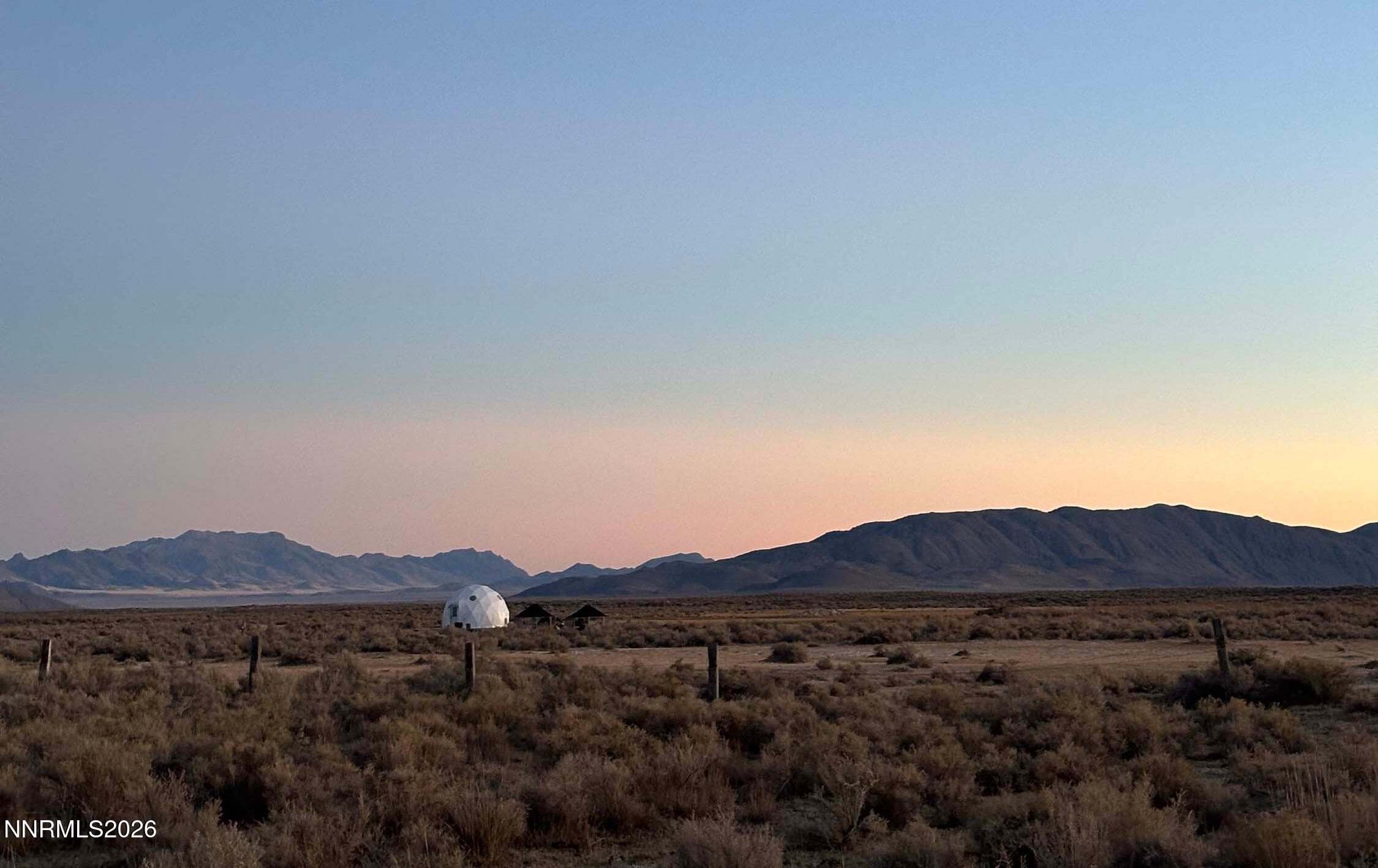
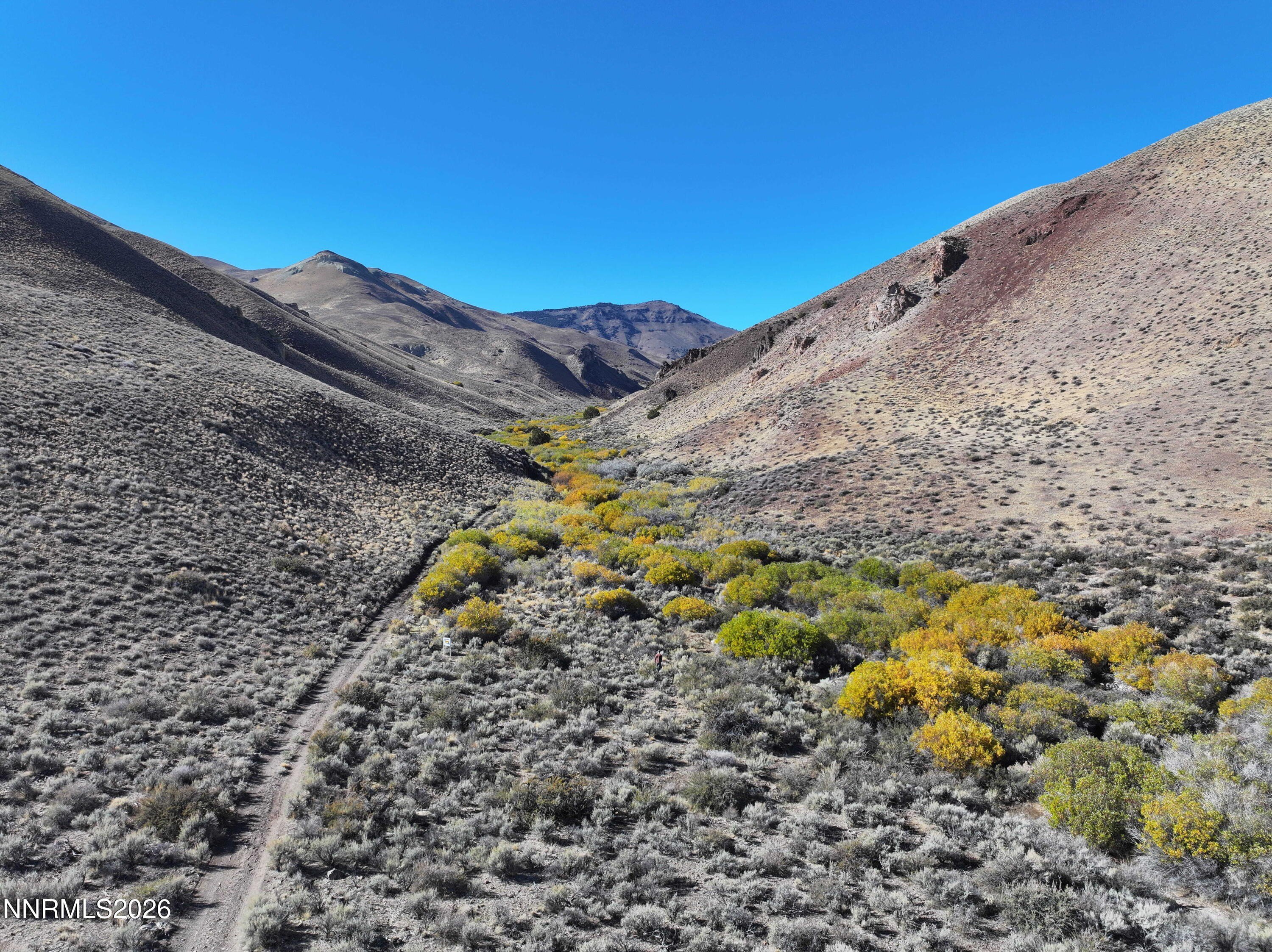
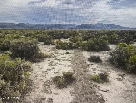
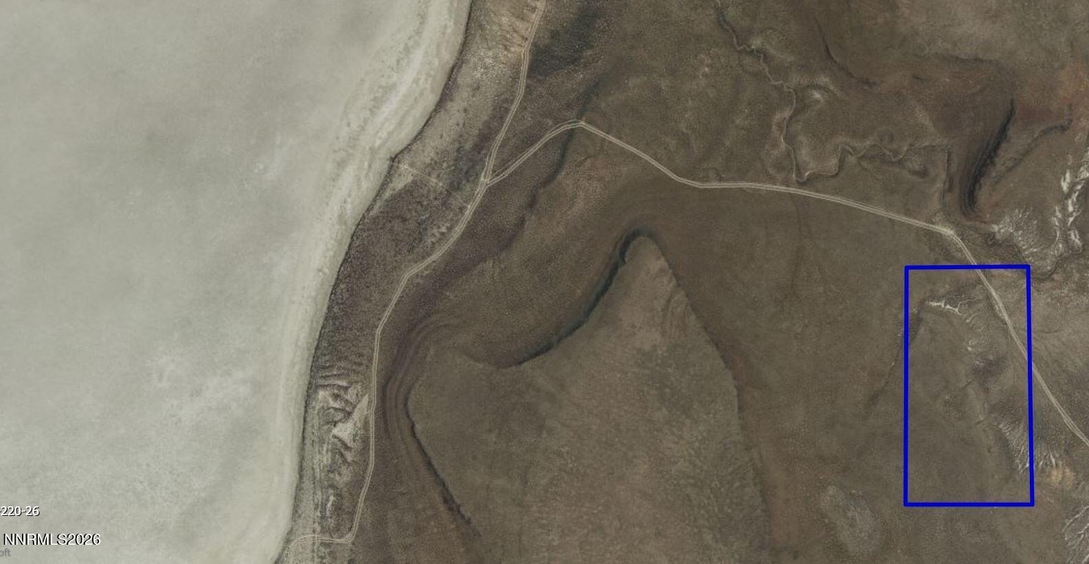
This 160-acre patented land is located approximately one hour away from Black Rock. The square-shaped homestead lot is surrounded by 20,434 acres of BLM public land. The property has mountain, valley, canyon and reservoir views. Cherry Creek, measuring approximately 3,207 feet, winds through the property, as does an abandoned canal measuring approximately 1,616 feet that leads to Lower Wall Canyon Reservoir. There is a pond of approximately 61 X 45 feet where a tributary meets the creek. A well near the center of the parcel, where the original homestead structure once stood, still produces water. Old wagon trails crisscross the land, and one of them leads directly to the mineshaft. Native American artifacts are scattered throughout the property. The title bundle is completely intact since the day it was made patent by President Woodrow Wilson in 1914. The legal description is The North 1/2 of the Southwest 1/4 and the South 1/2 of the Northwest 1/4 of Section 15, Township 37 North, Range 19 East, Mount Diablo Base and Meridian, according to the Official Records on file in the Office of the County Recorder of said Washoe County, Nevada.
Property Profile
Location Intelligence
Current Use by Public Records
Agricultural land / Farmland
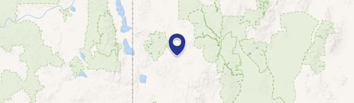
Map
- City
- Gerlach
- County
- Washoe
- State
- Nevada
- Longitude
- -119.649
- Latitude
- 41.1852
Nearby Similar for Sale
FAQs
What type of property is this?
Agricultural land / Farmland - 160 acre patented land with mineral rights and creekfront.
Where is this agricultural land / farmland located?
The property is located at unspecified Gerlach, NV.
What is the asking price?
The asking price for this property is $269,000.
What are key features of this property?
This property features: 160 acres of patented land with 100% mineral rights for ultimate land ownership.; Features Cherry Creek frontage (~3,207 feet) and a pond, enhancing natural beauty.; Surrounded by 20,434 acres of BLM land, ensuring privacy.


