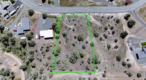
Davis Creek Rd, John Day, OR 97845
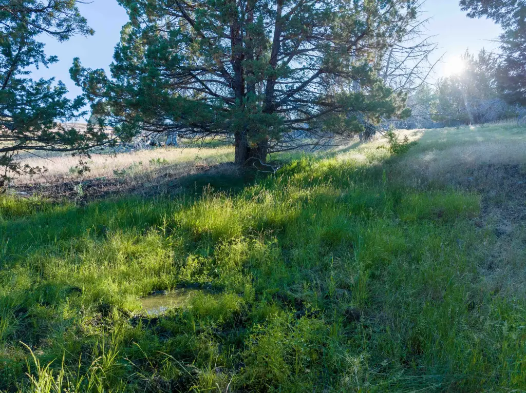
- Added:
- May 22, 2025
- Days on Market:
- 411
- Last Refresh:
- Jul 6 at 1:06 am
Property Features for Davis Creek Rd
General Information
- Property type
- Land
- Property subtype
- Other
- Standard status
- Active
- Lot size
- 3,736.81 Acres
Listing agent Evan Kaseberg License #201223650 (541) 980-8730
Listing office Northwest Ranch Group 3811 Crater Lake Hwy, Medford, OR (541) 980-8730
Listing date May 22, 2025
Copyright © 2026 My State MLS. All rights reserved. All information provided by the listing agent/broker is deemed reliable but is not guaranteed and should be independently verified.
HighLights
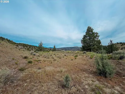
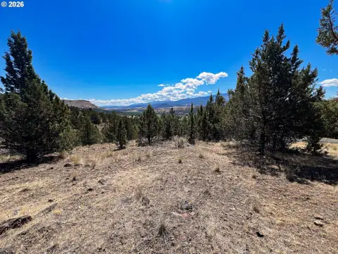
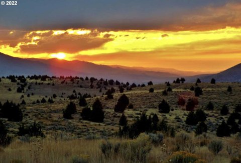
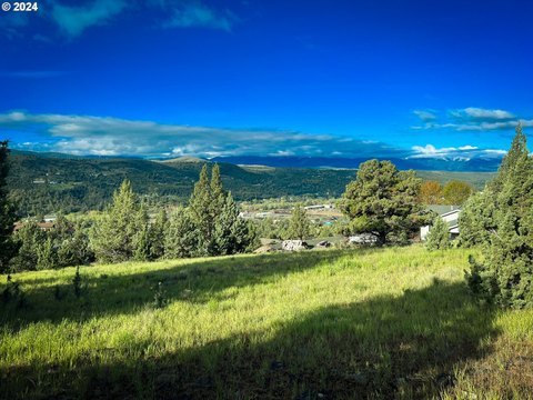
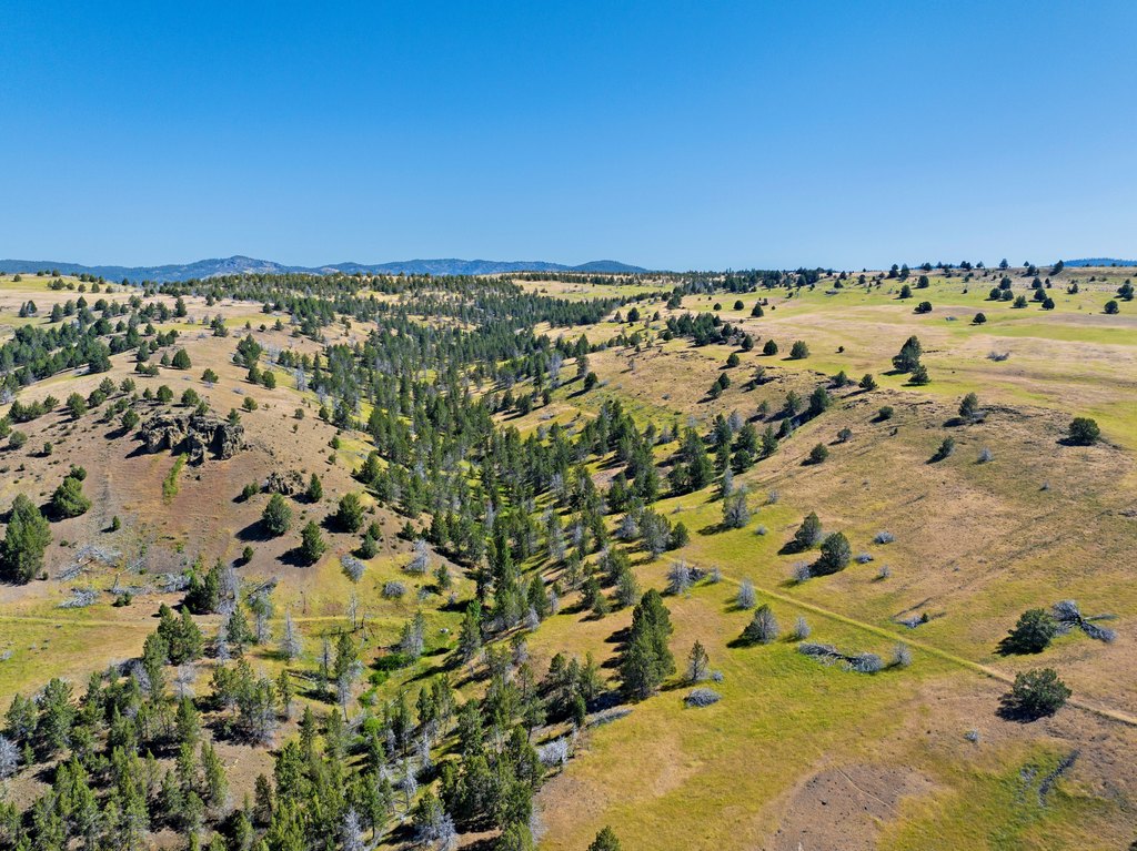
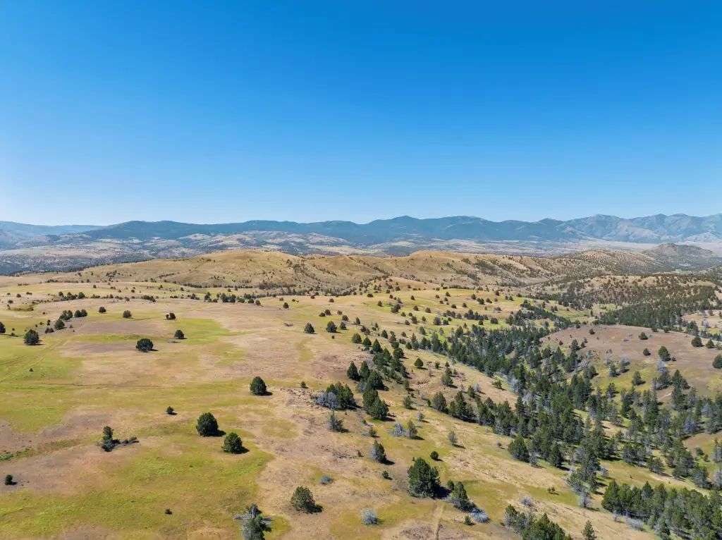
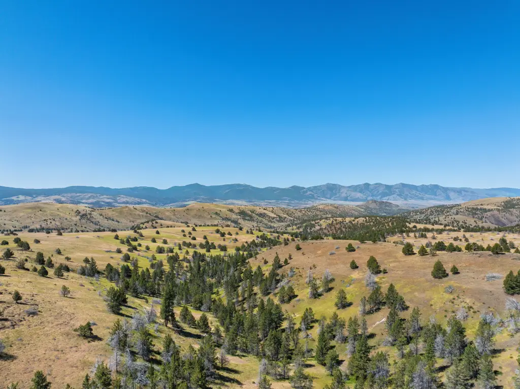
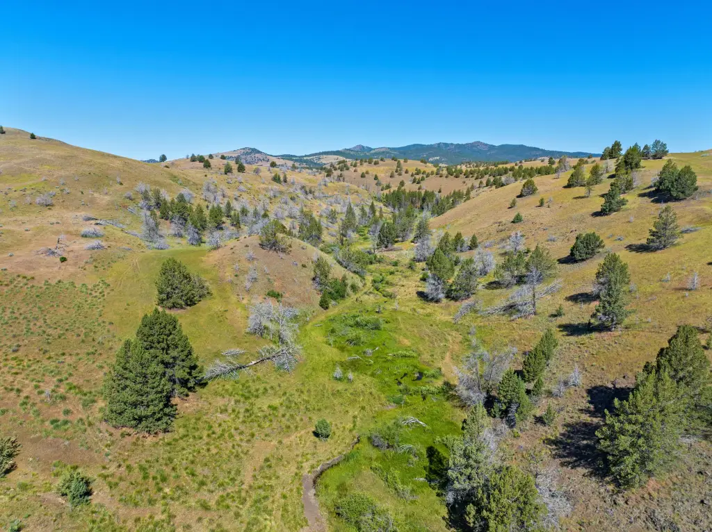
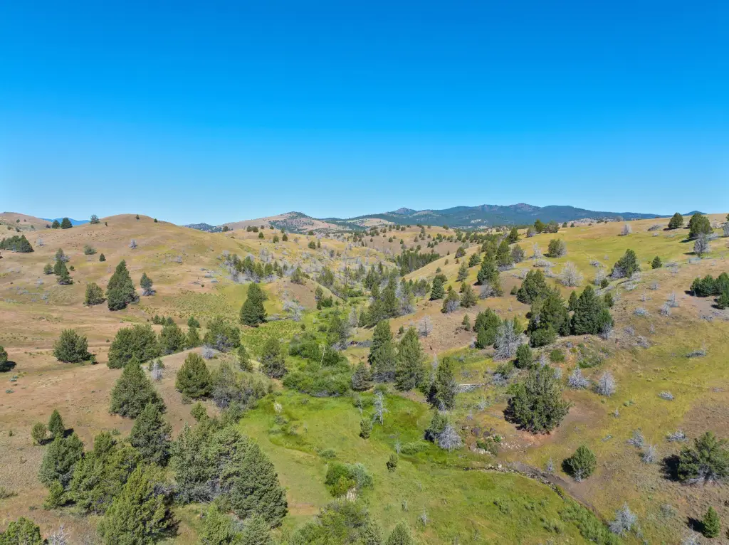
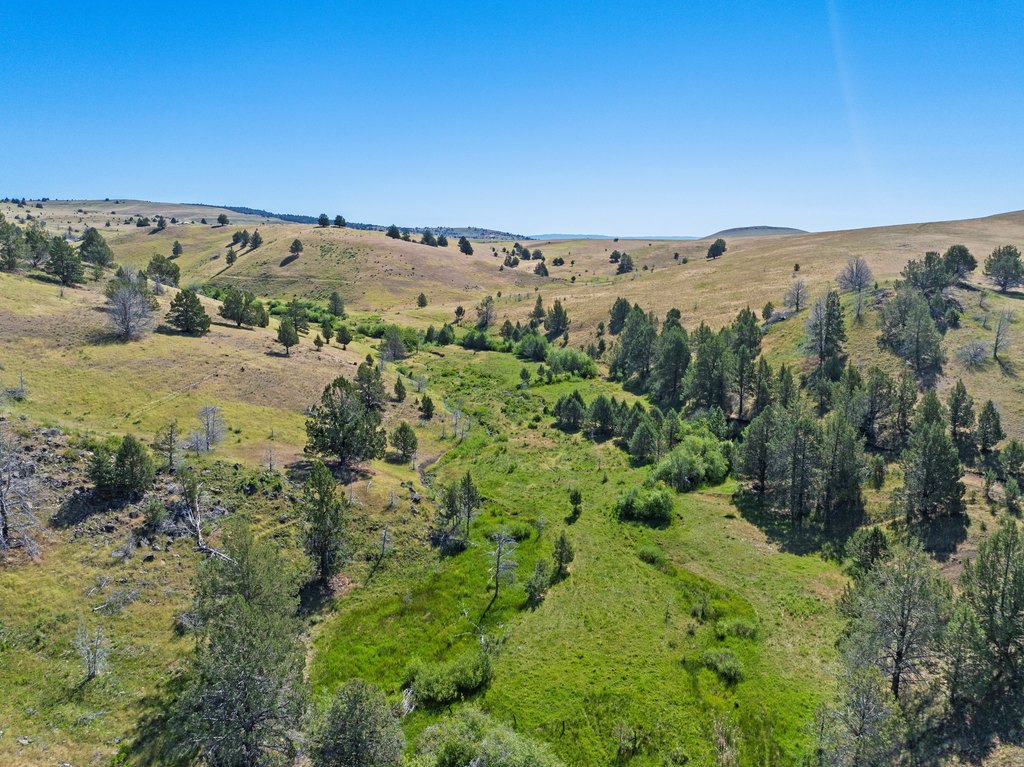
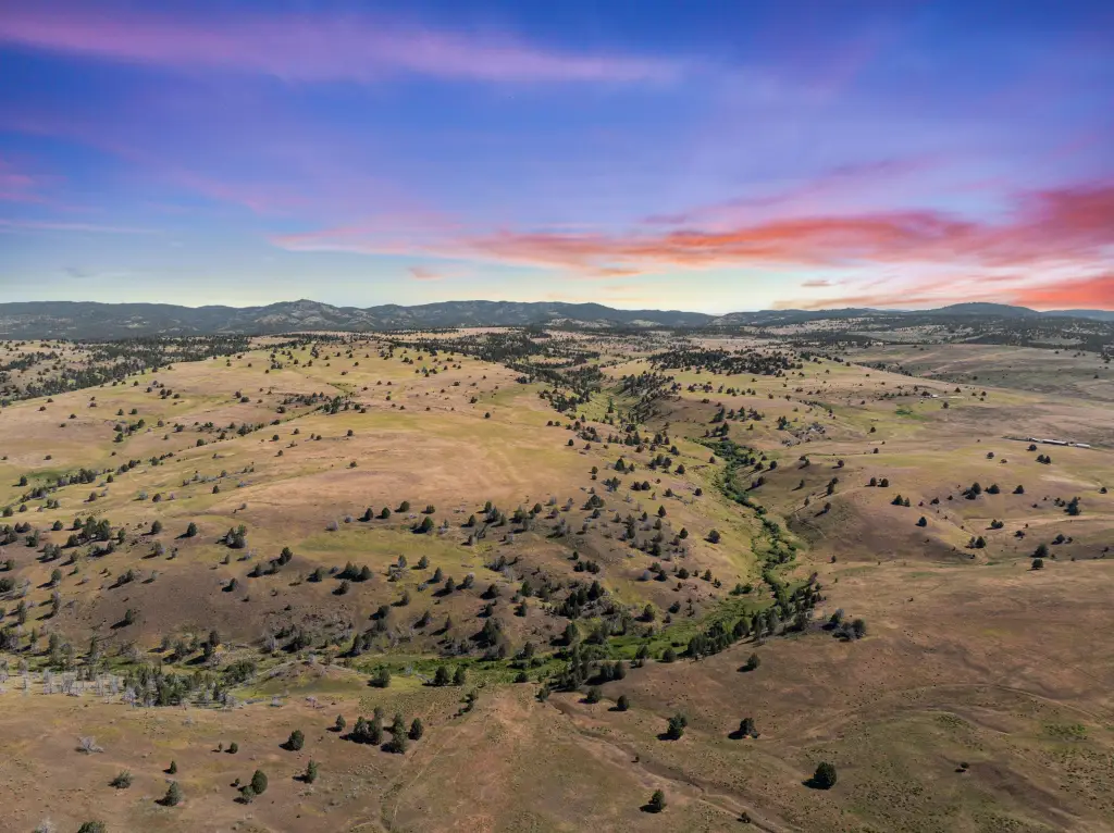
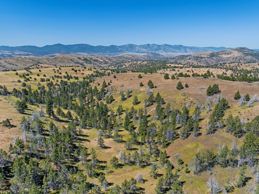
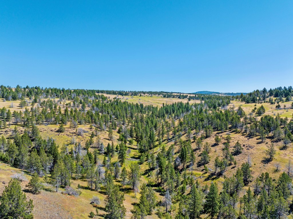
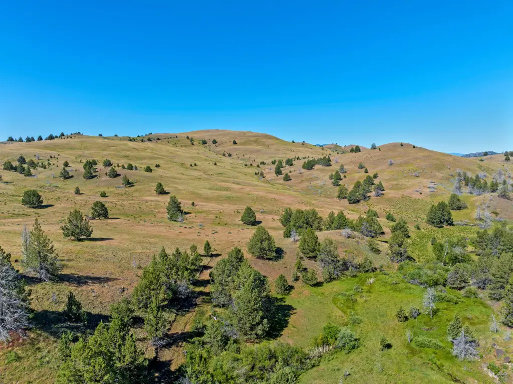
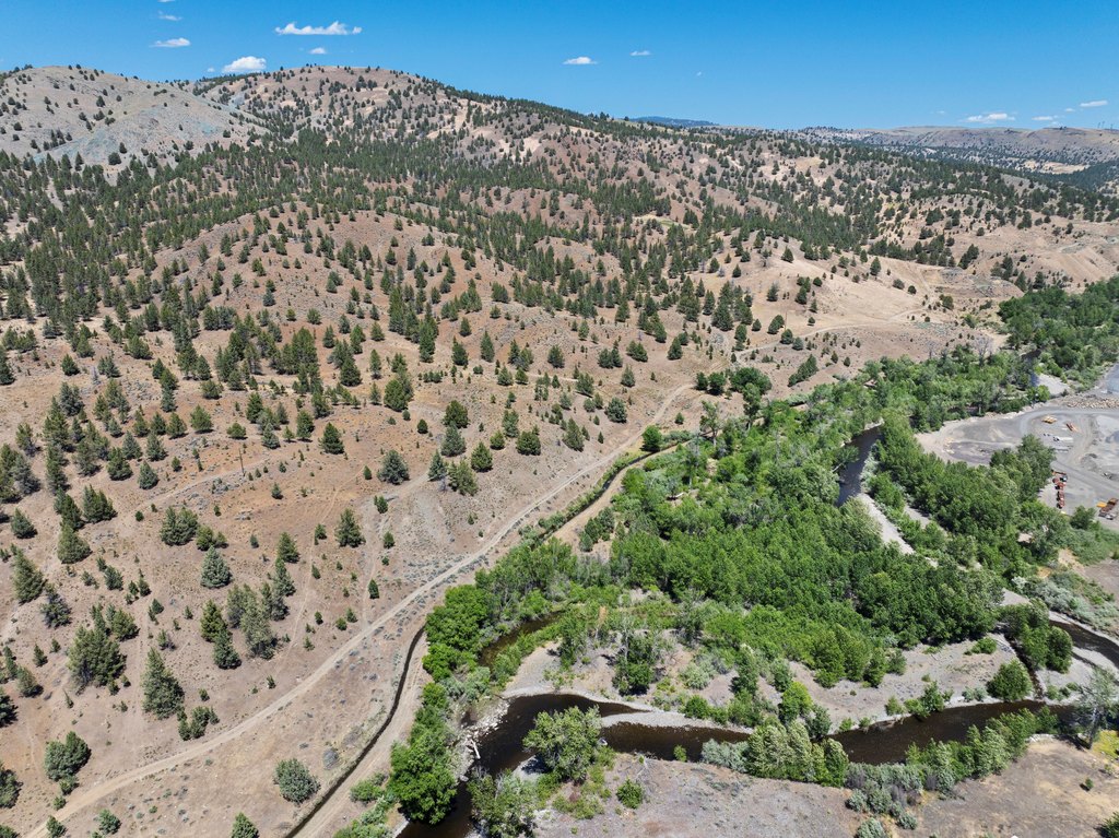
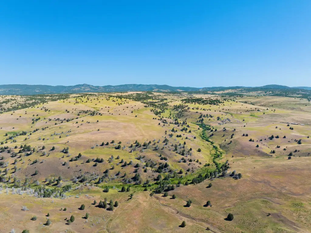
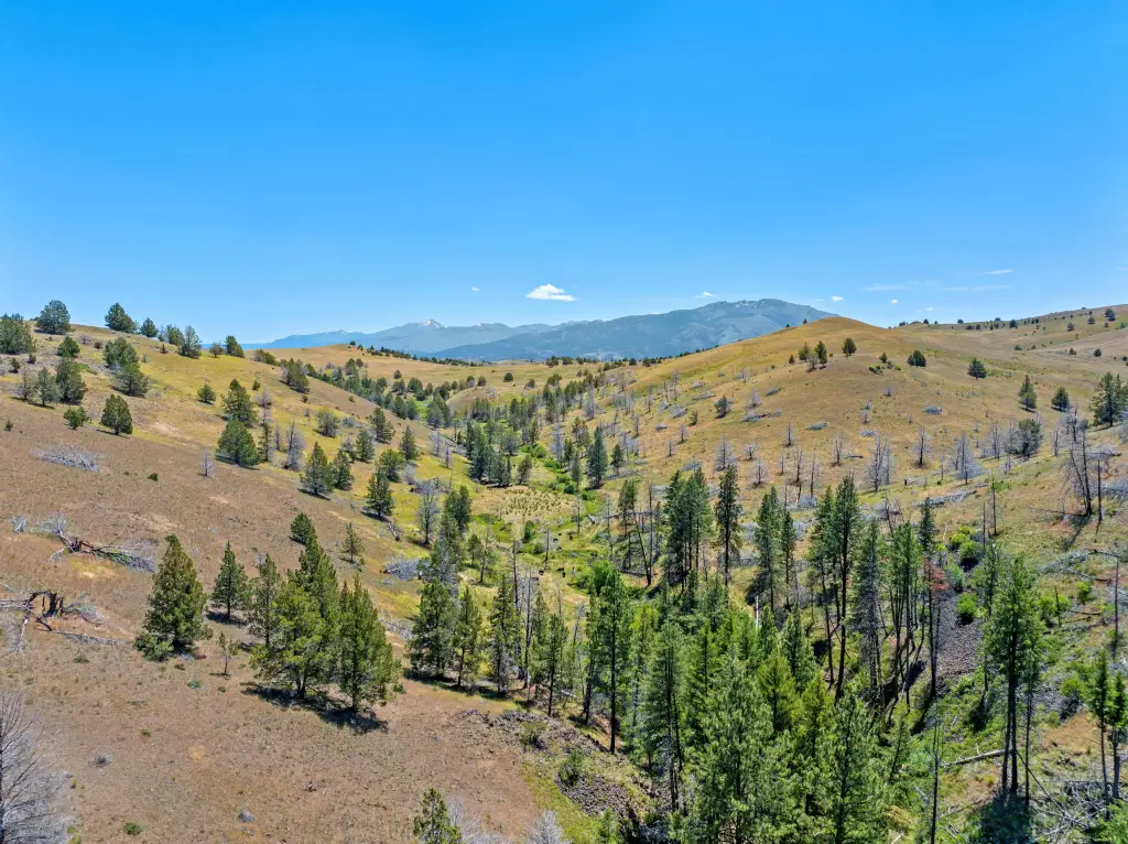
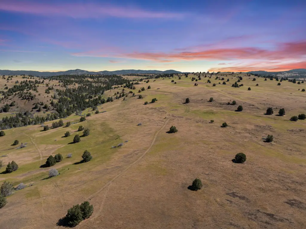
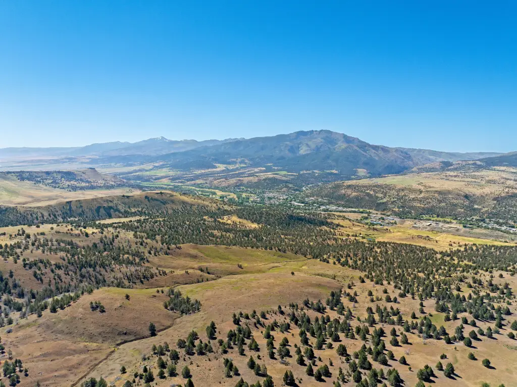
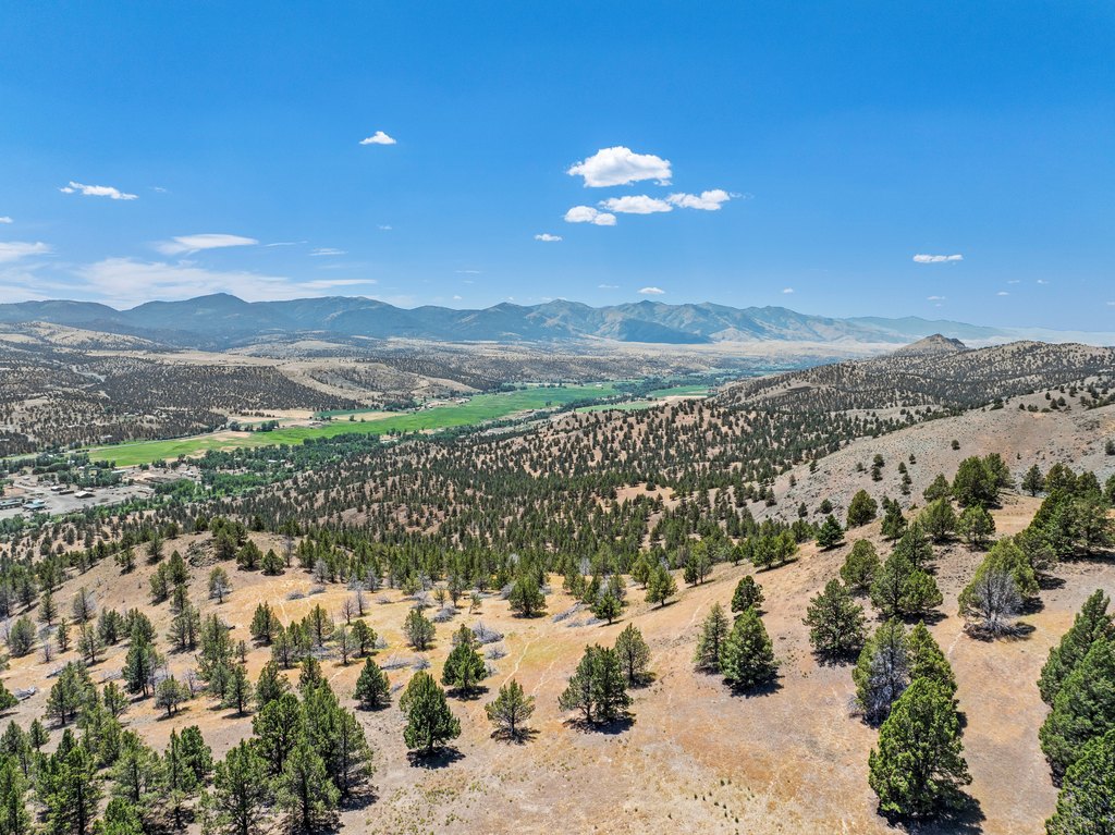
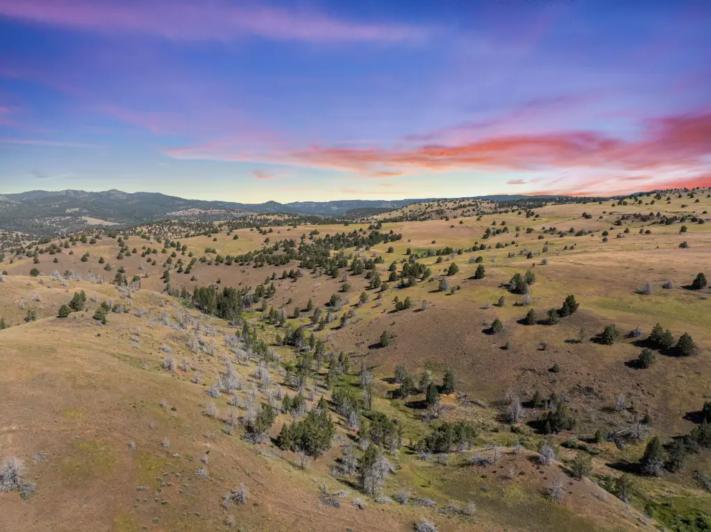
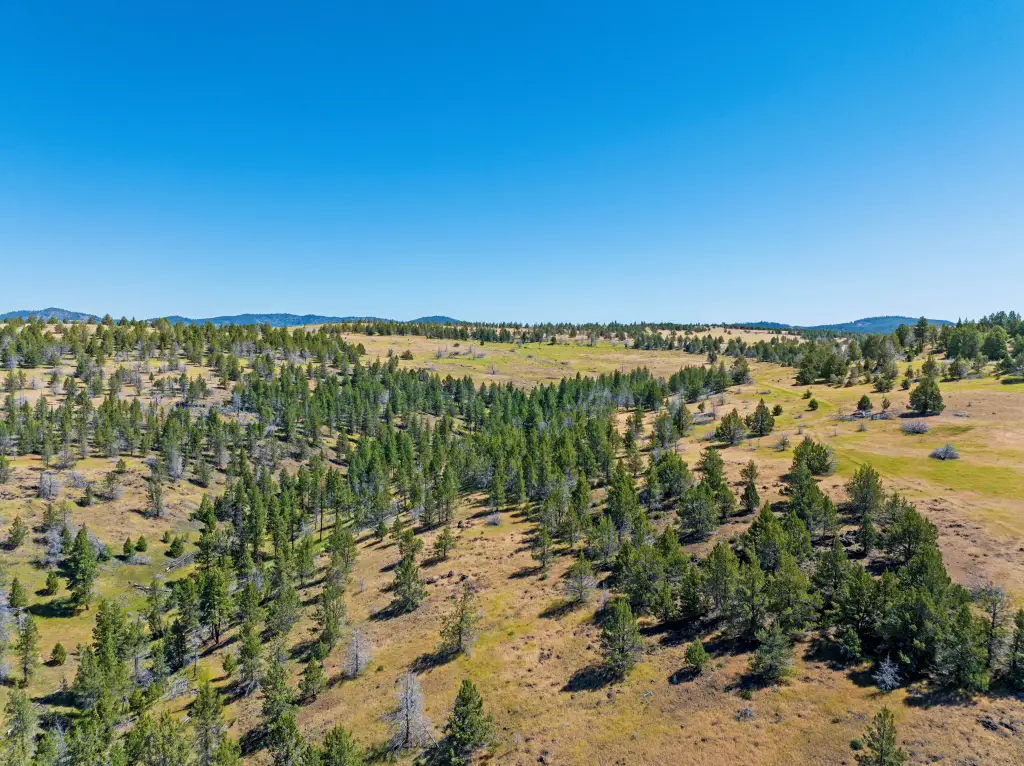
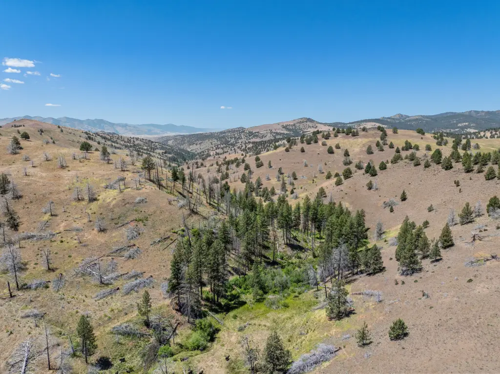
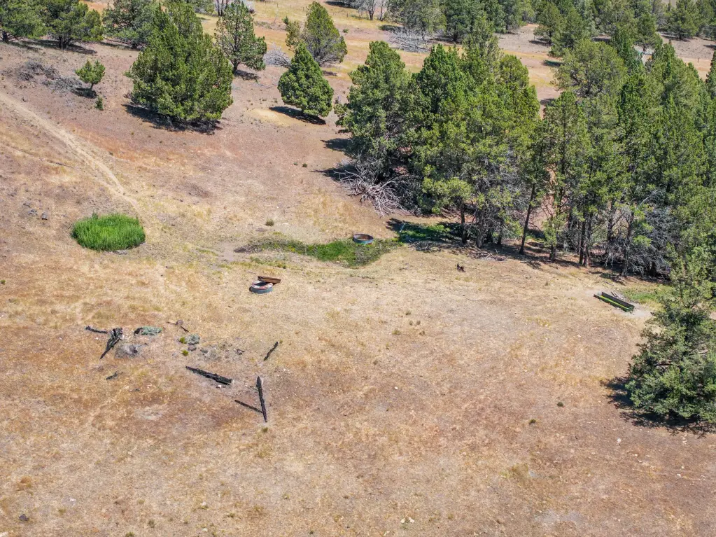
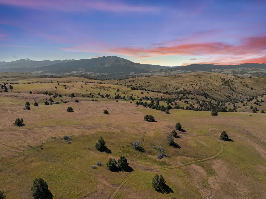
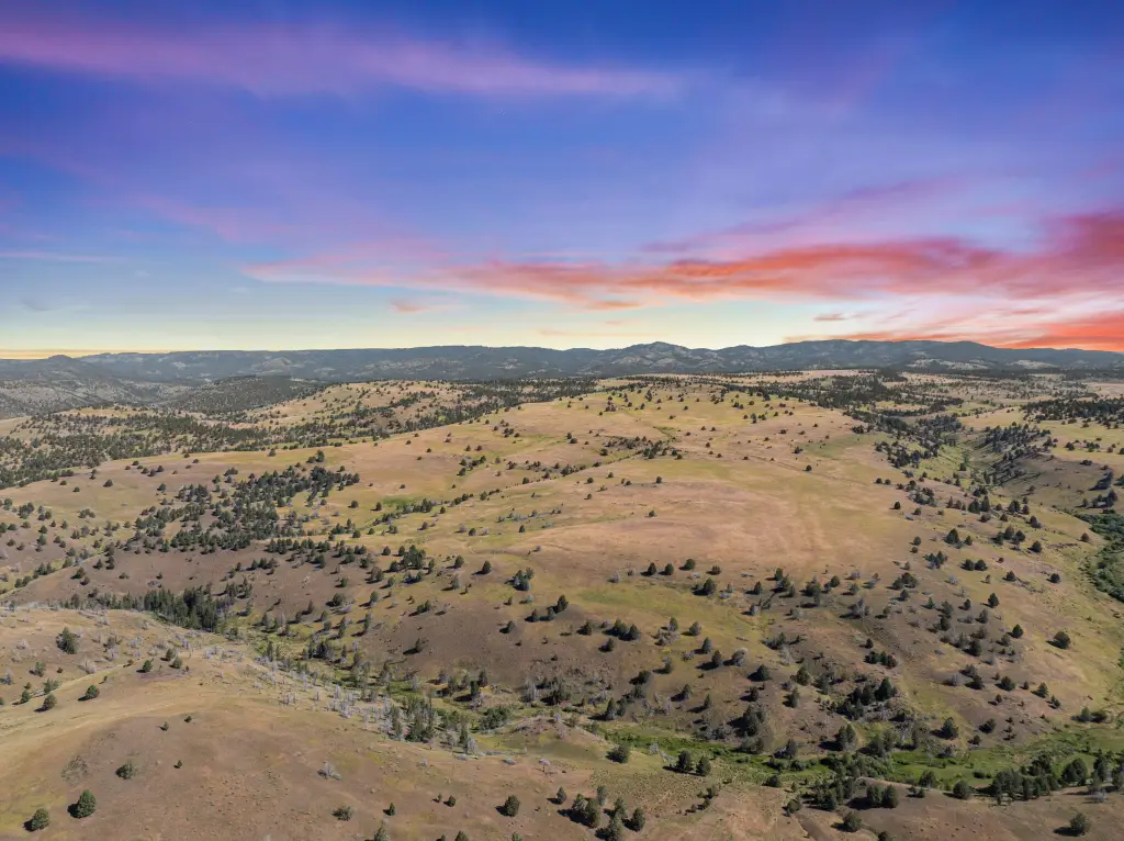
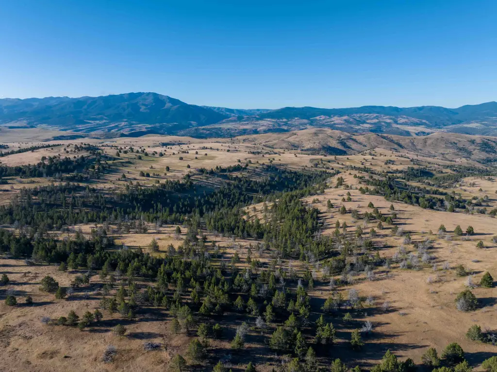
- 3,737‑acre ranch just outside historic John Day, OR
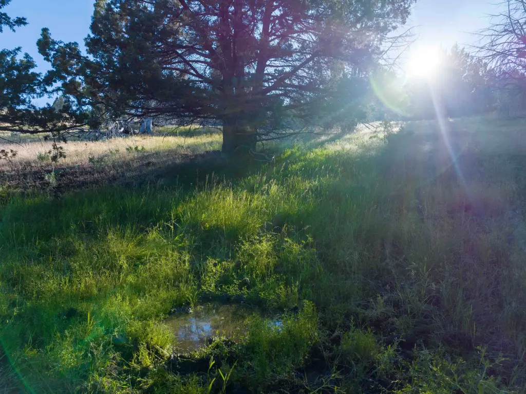
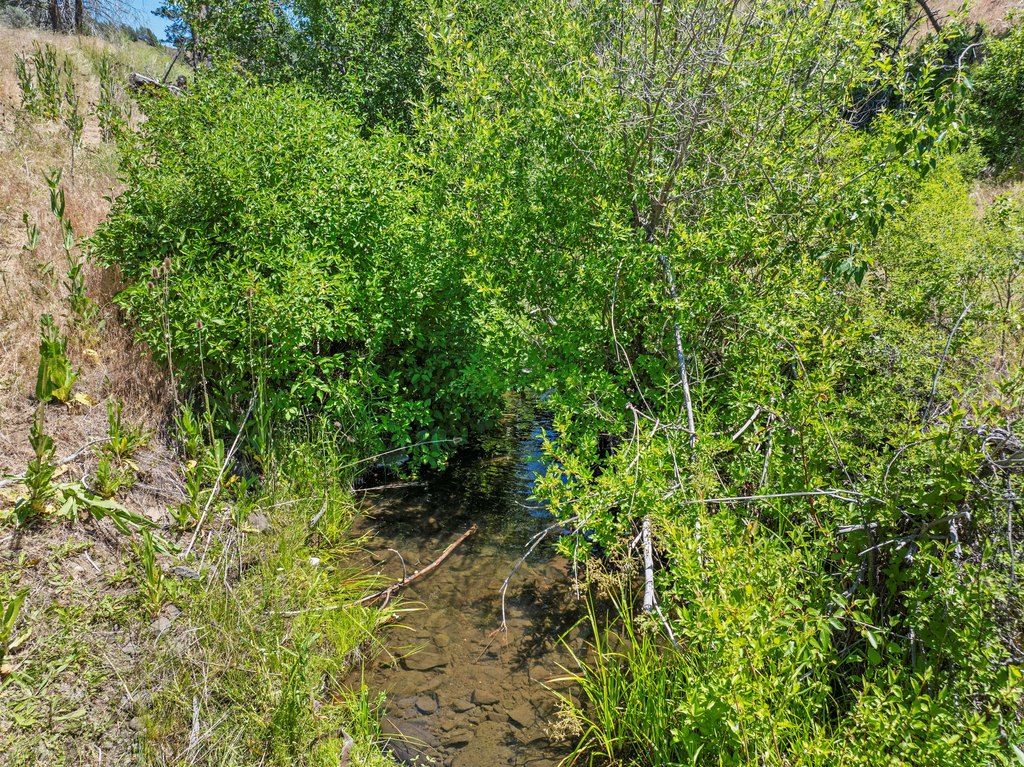
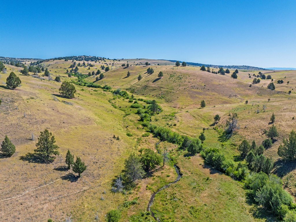
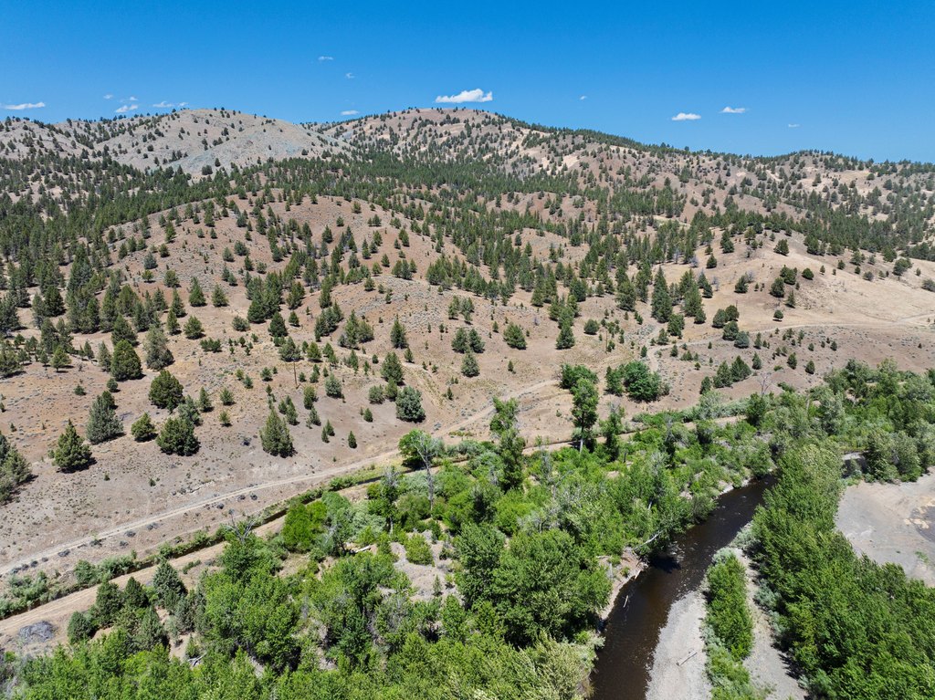
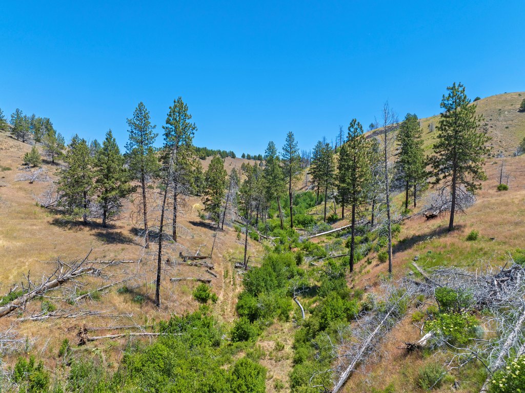
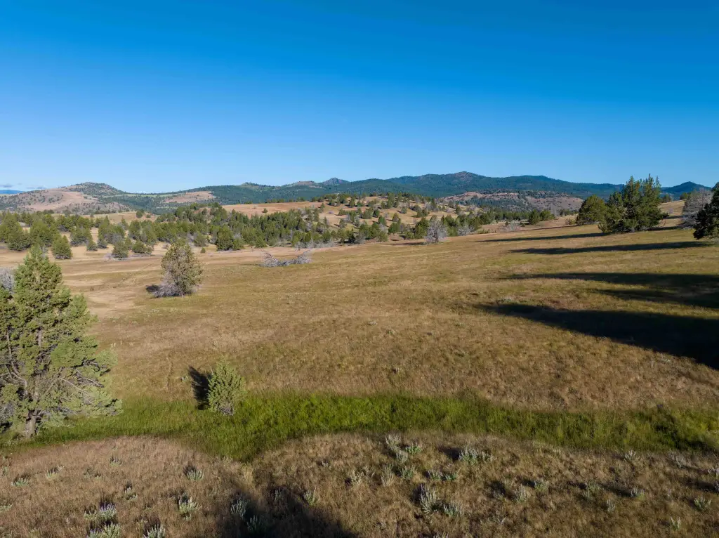
- About 2/3 mile John Day River frontage, plus springs and Little Beech Creek running through over 1 mile
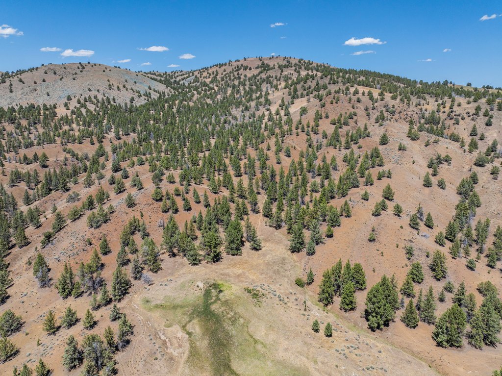
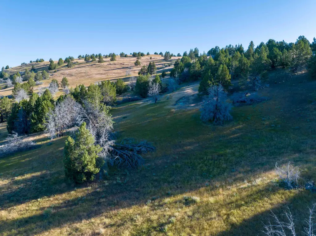
- Elevation ranges from about 3,000 ft along the John Day River to approximately 4,500 ft at the peak with north‑facing slopes
- Fishing: smallmouth bass, rainbow trout, and summer steelhead in the John Day River
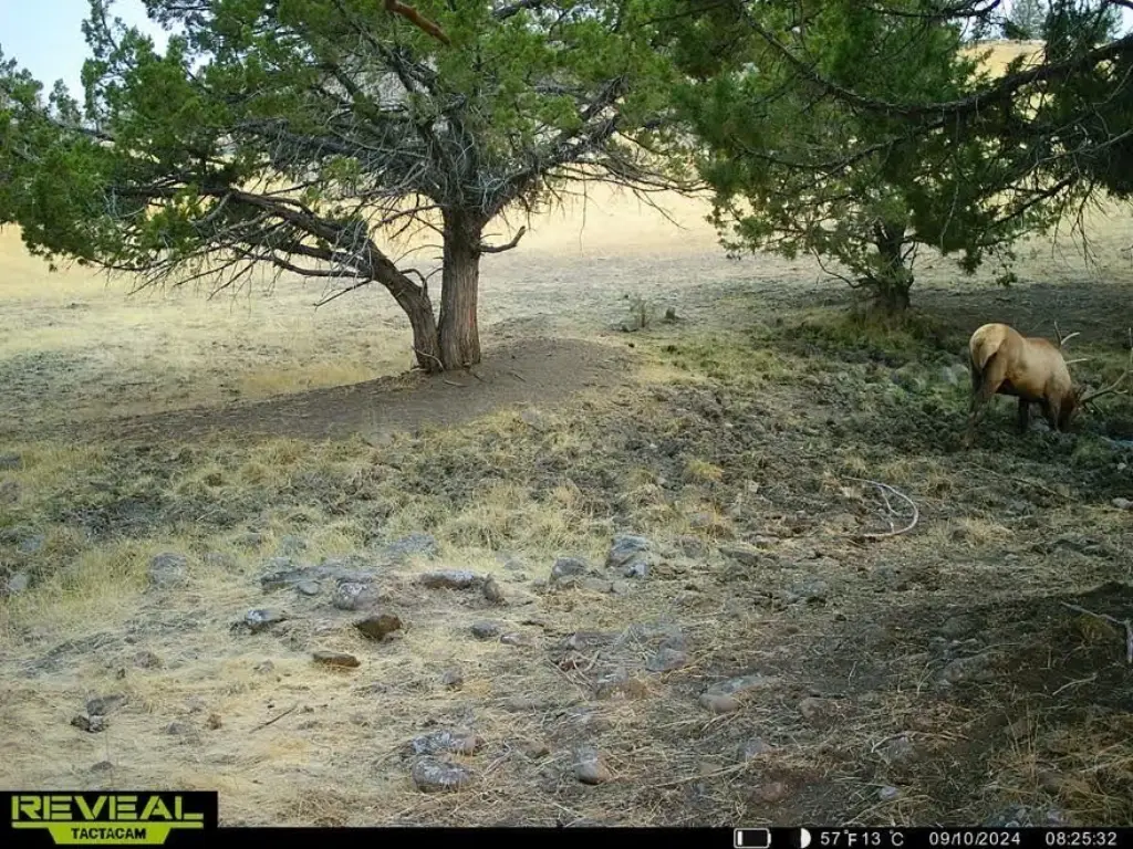
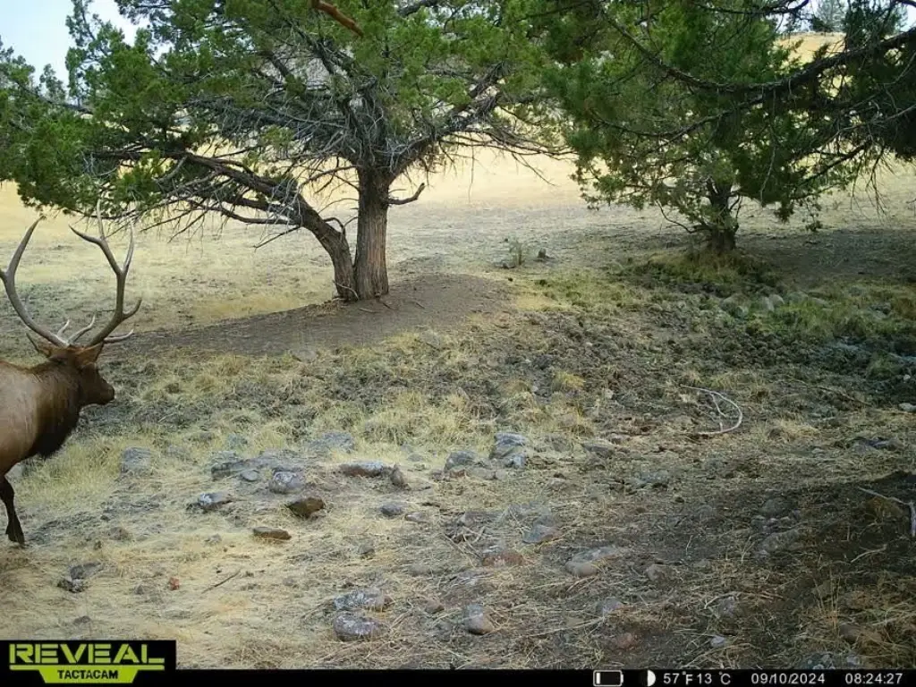
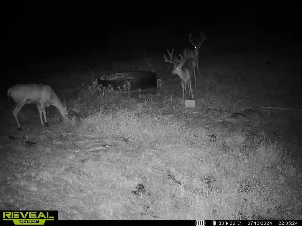
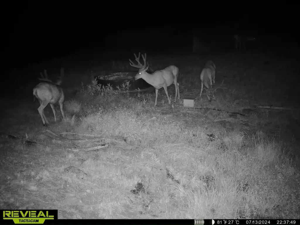
- Hunting: located in Northside Hunting Unit #47 for Rocky Mountain elk and mule deer
- LOP tags available for up to four deer and elk tags (pending ODFW confirmation), with wildlife including antelope, turkey, and coyotes
Overview
The property is located in Grant County and sits just outside historic John Day. It lies within the Northside Hunting Unit #47. Landowner Preference (LOP) tags are available, with eligibility for up to four deer and elk tags pending confirmation with the Oregon Department of Fish and farm fields near the property’s border.
For hunters and anglers, the ranch’s setting is supported by established wildlife presence and fishing access described for the John Day River, including smallmouth bass, rainbow trout, and summer steelhead. The property is also described as home to antelope, turkey, mountain lions, coyotes, and additional wildlife noted for the unit. The combination of river frontage, flowing creek, and on-site cover supports a practical fit for private recreation and hunting-oriented ownership.
Current Use by Public Records
Map
- City
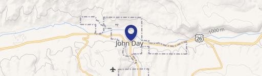
- John Day
- County
- Grant
- State
- Oregon
- Longitude
- -118.980151
- Latitude
- 44.451