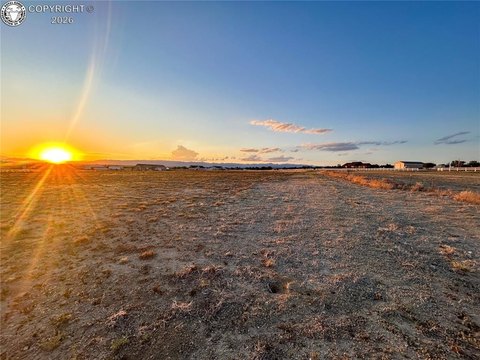
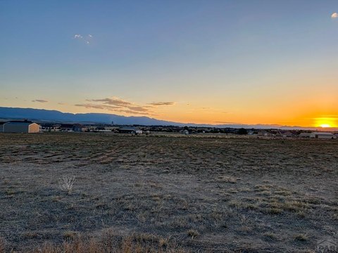
County Road 67, Penrose, CO 81240

- Added:
- Jun 26, 2026
- Days on Market:
- 6
- Last Refresh:
- Jul 1 at 12:06 am
Property Features for County Road 67
General Information
- Property type
- Land
- Property subtype
- Other
- Standard status
- Active
- APN
- 99927190
- Lot size
- 35.00 Acres
Taxes and HOA fees
- Tax Year
- 2025
- Tax Description
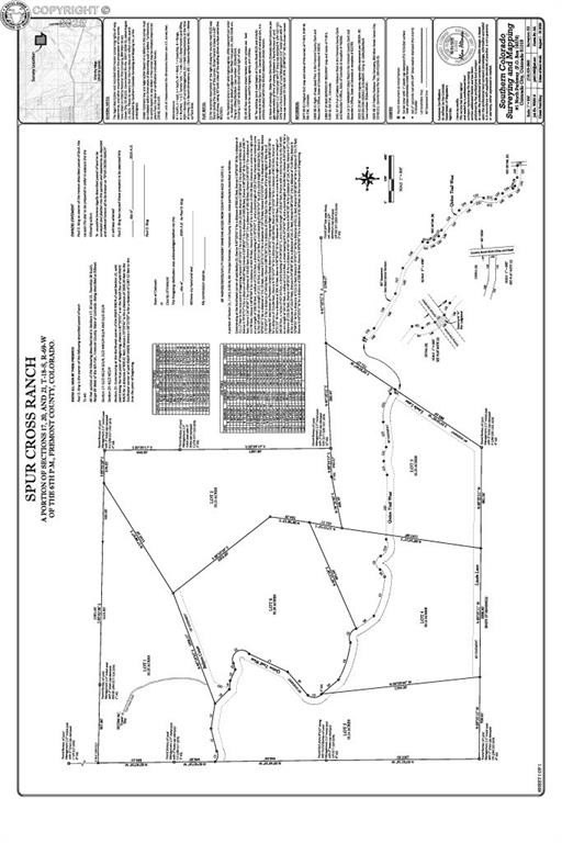
- Lots 1 through 6, Spur Cross Ranch Subdivision.
- Tax Annual Amount
- 134
Listing agent Michael L. Butts (719) 269-2922
Listing office Frontier West Realty 731 Macon Avenue, CANON CITY, CO (719) 275-7404
Listing date Jun 26, 2026
Copyright © 2026 Royal Gorge Association of REALTORS®. All rights reserved. All information provided by the listing agent/broker is deemed reliable but is not guaranteed and should be independently verified.
HighLights
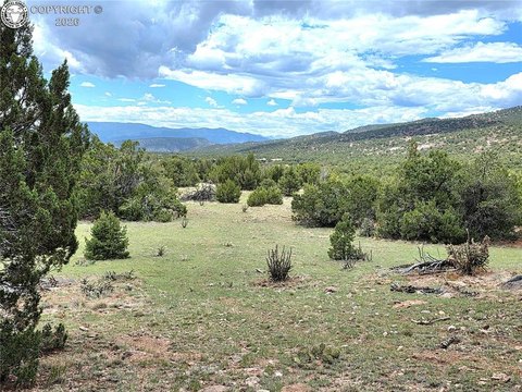
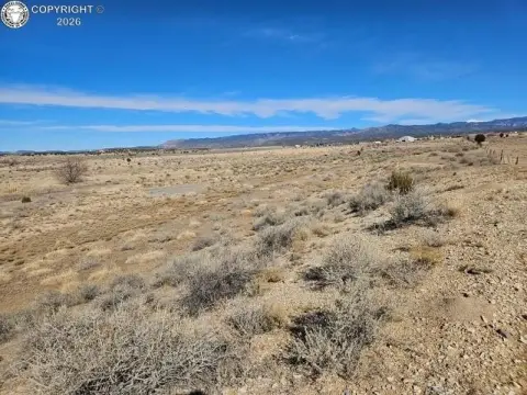
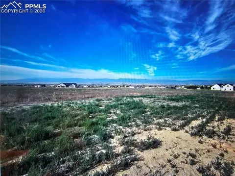
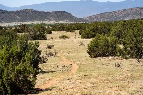
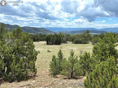
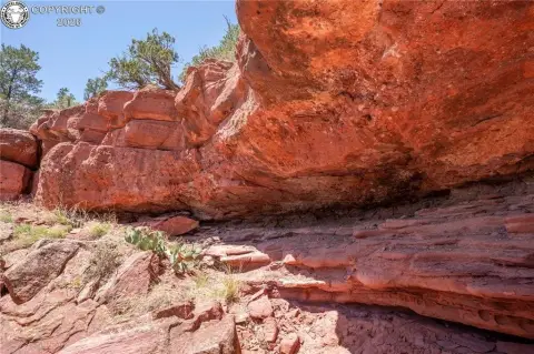
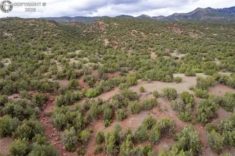
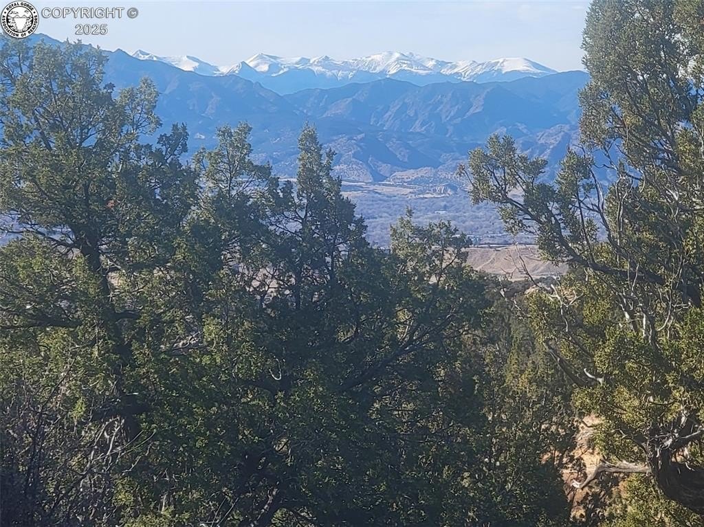
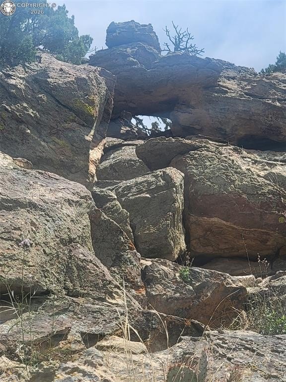
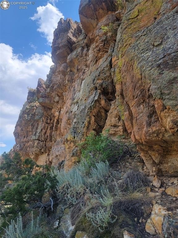
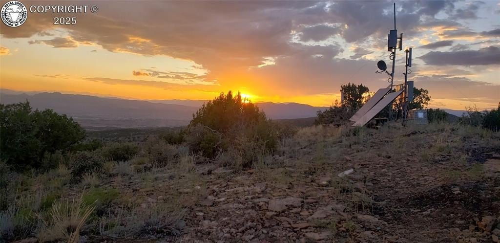
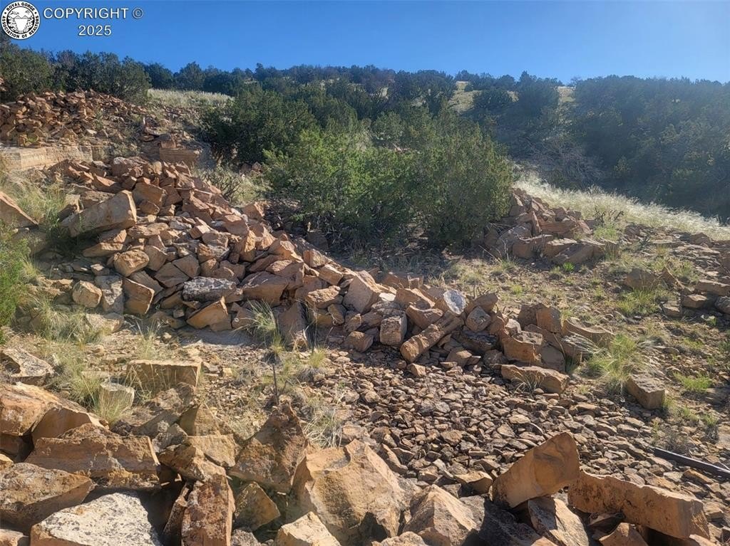
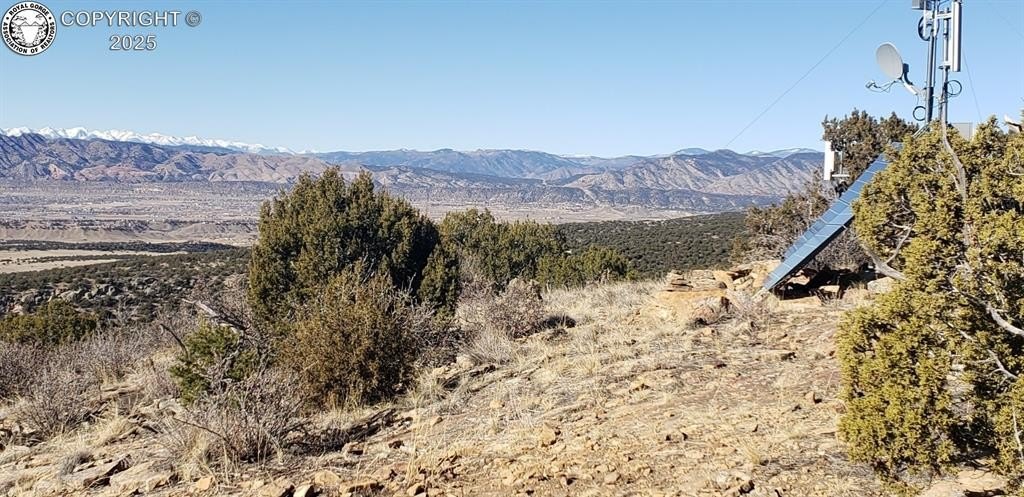
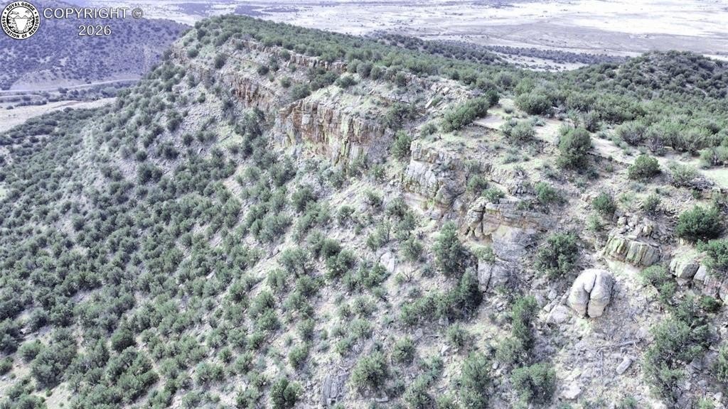
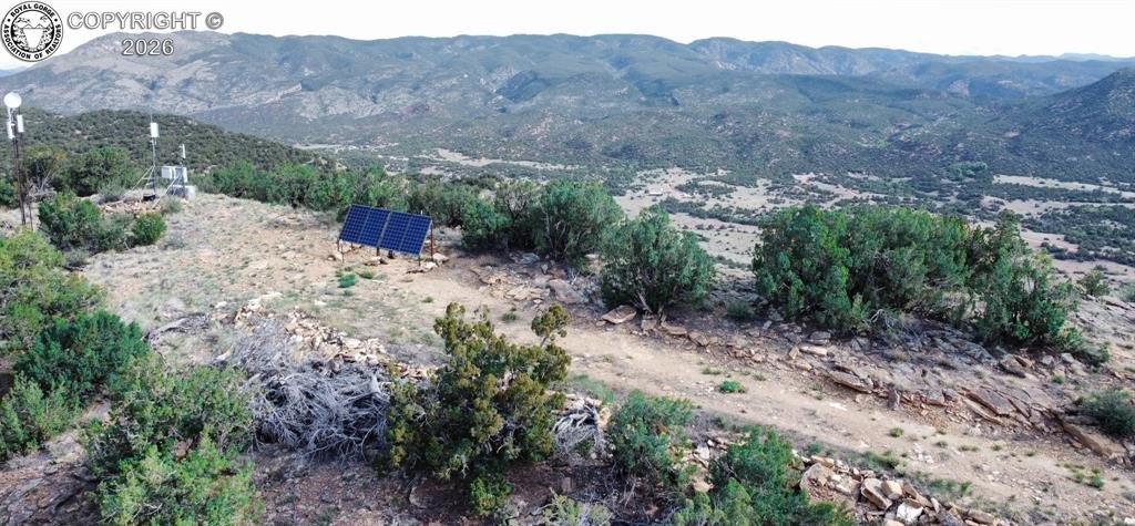
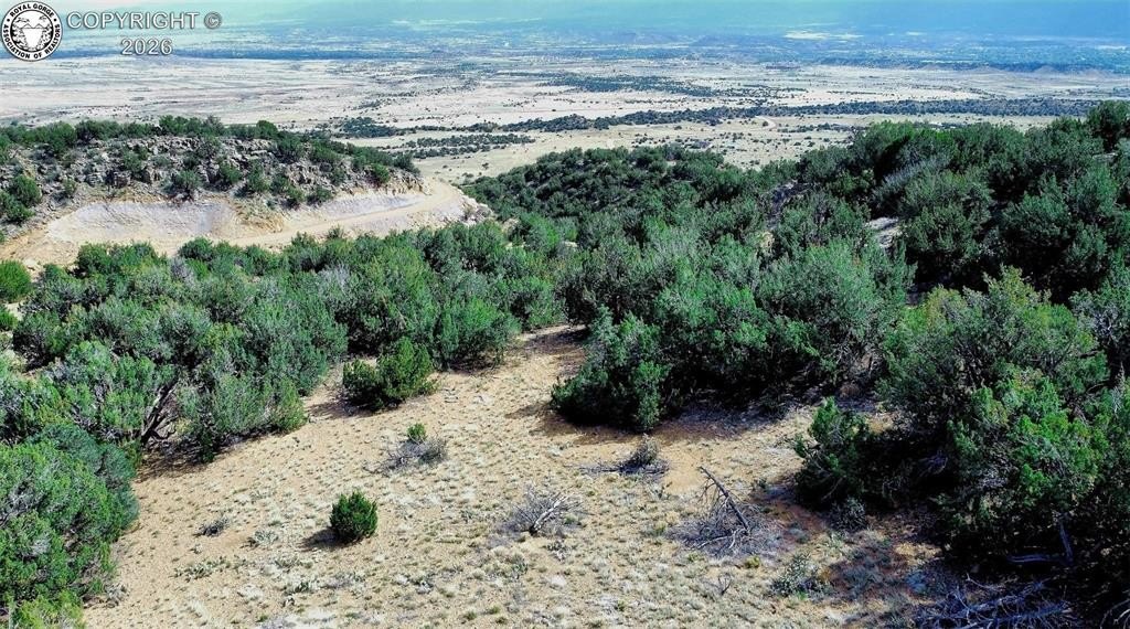
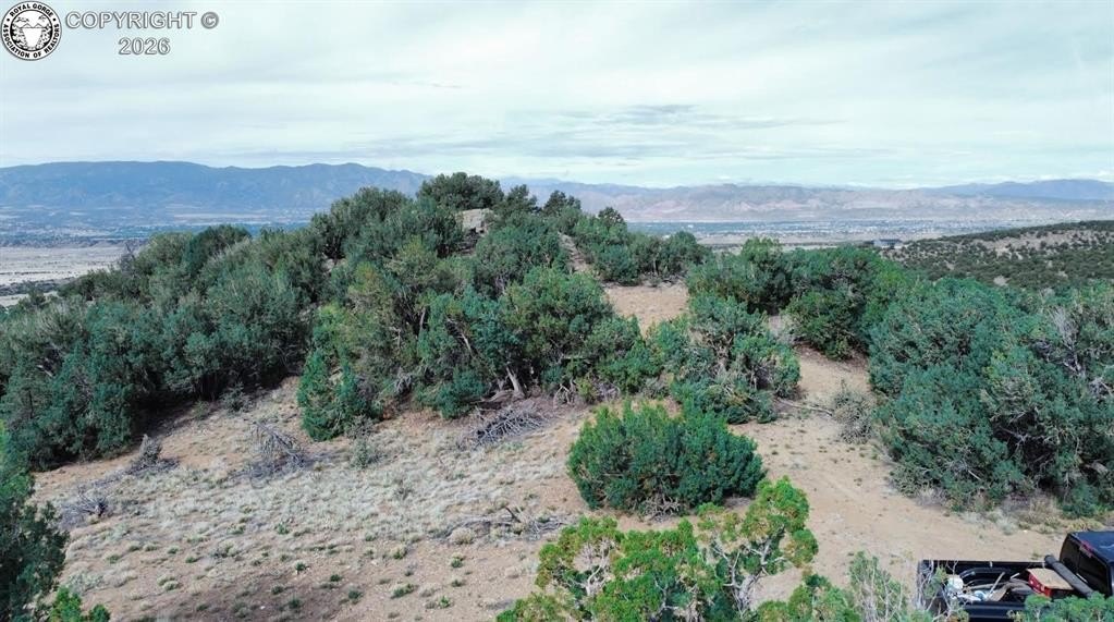
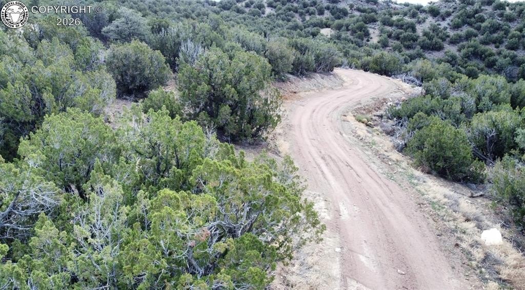
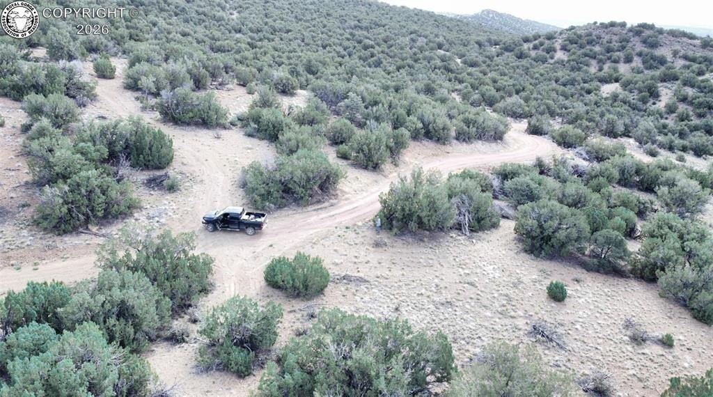
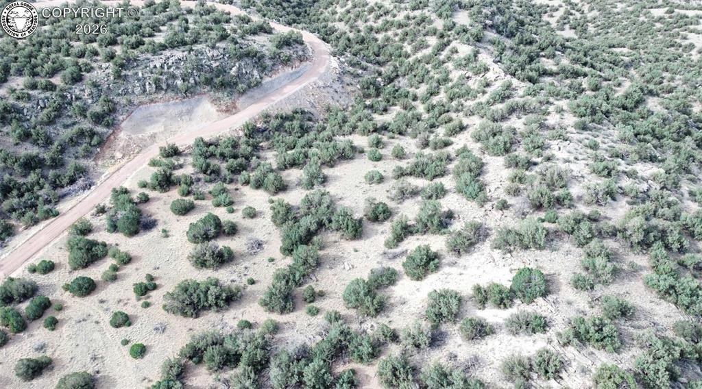
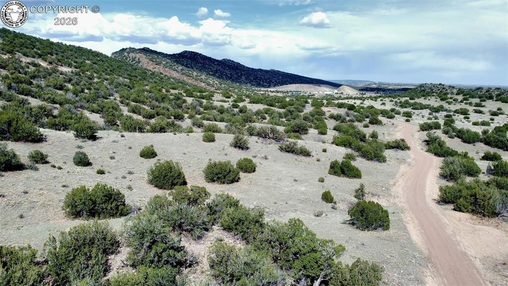
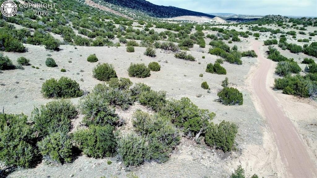
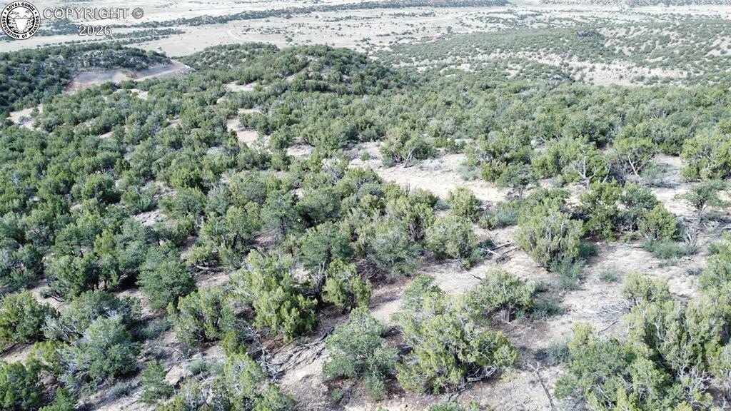
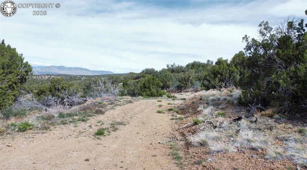
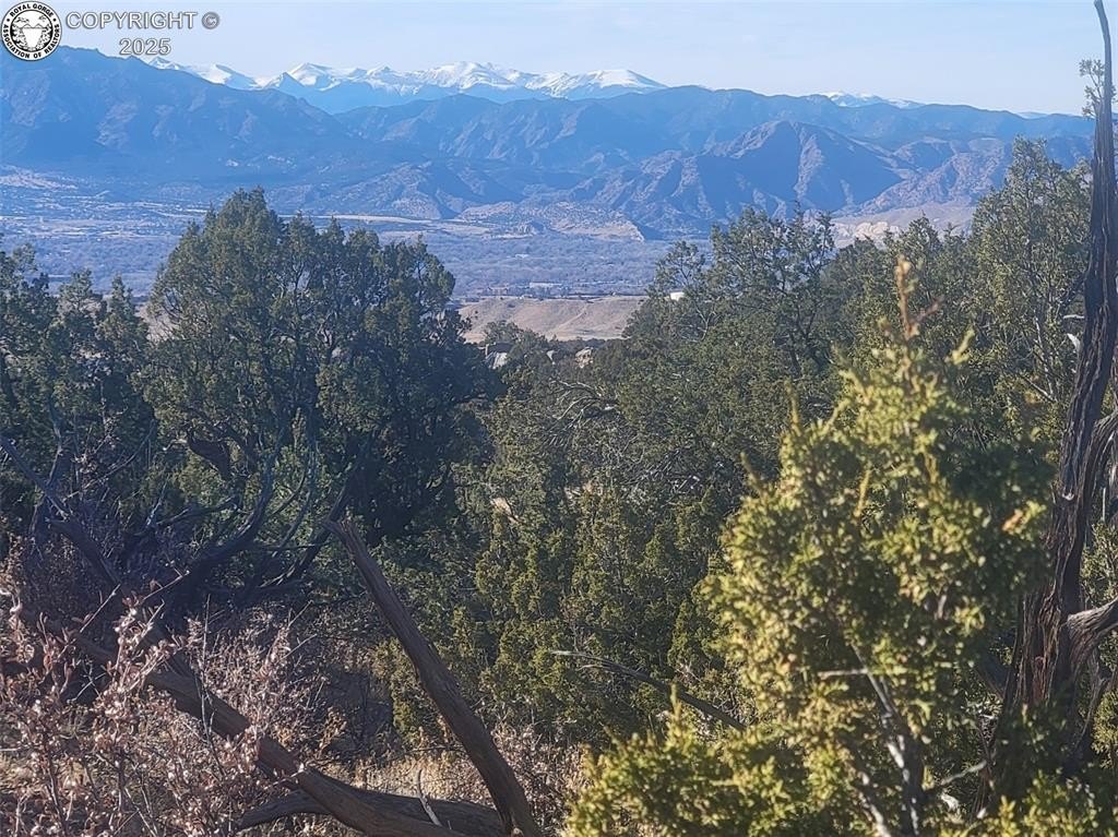
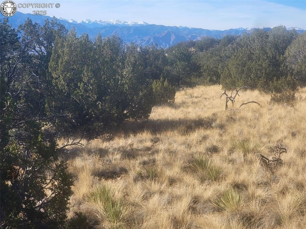
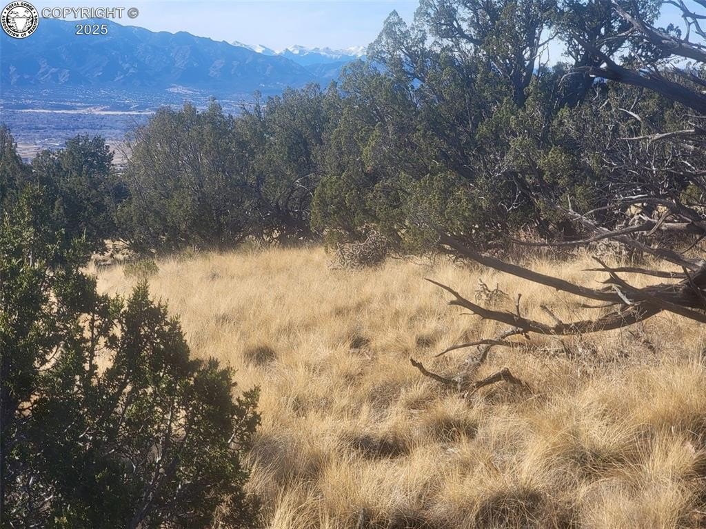
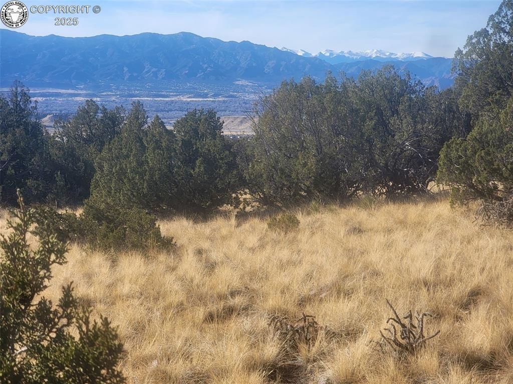
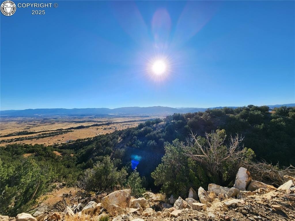
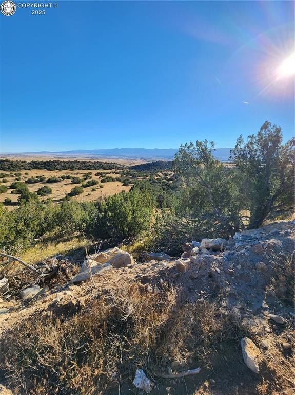
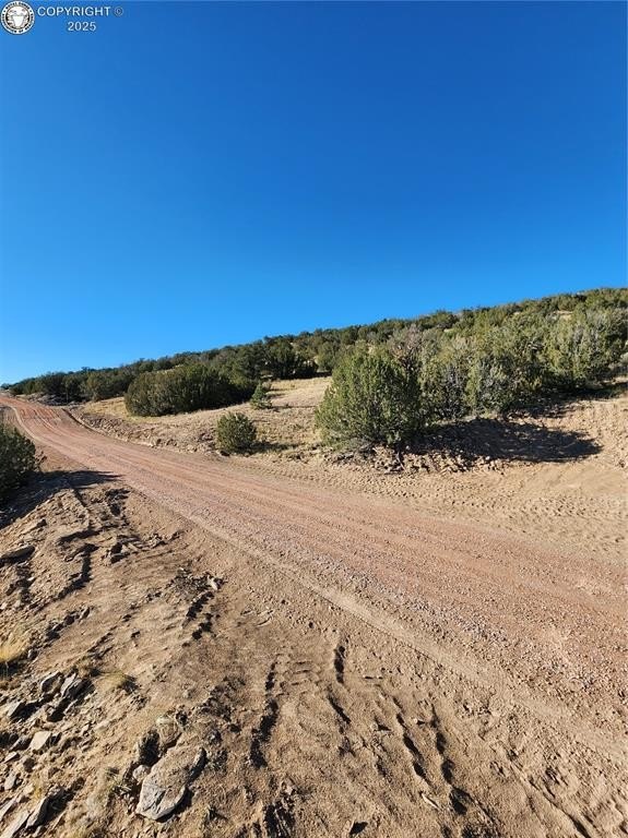
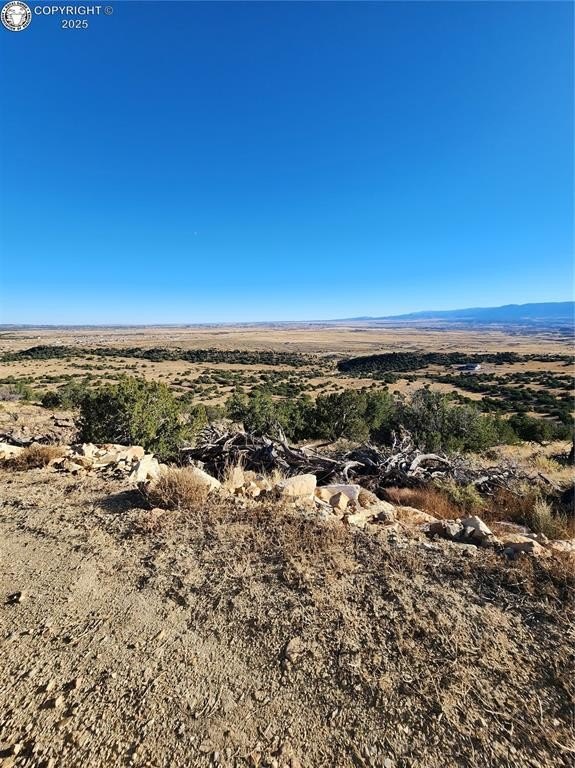
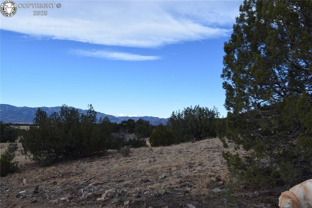
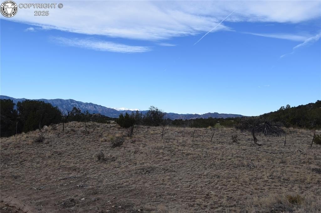
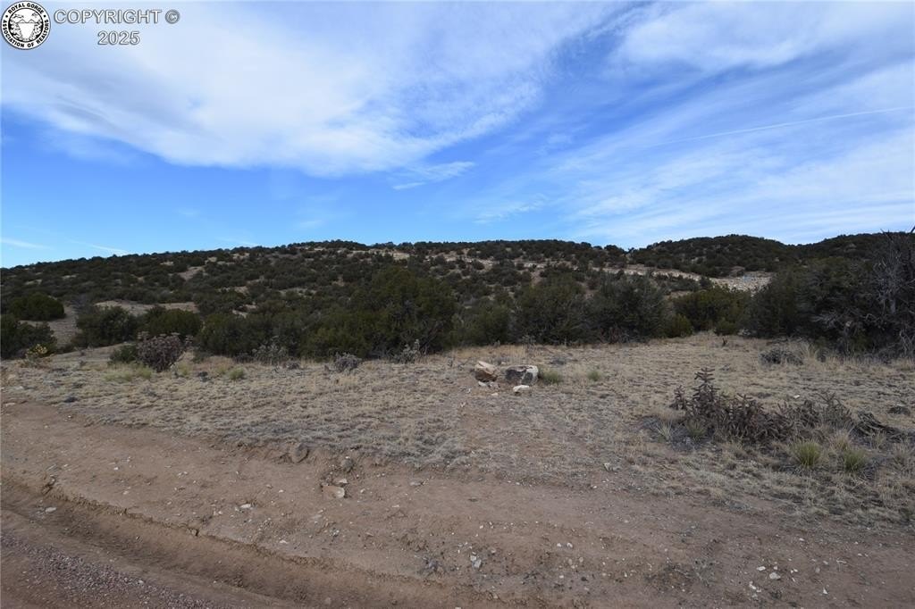
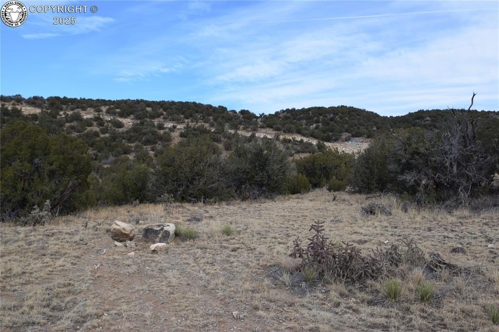
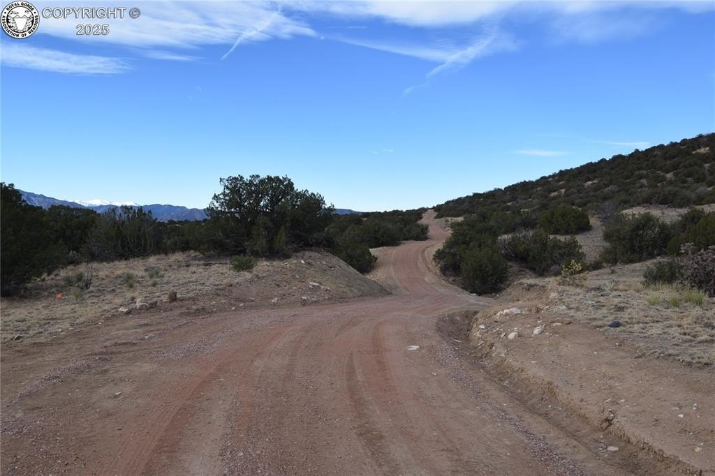
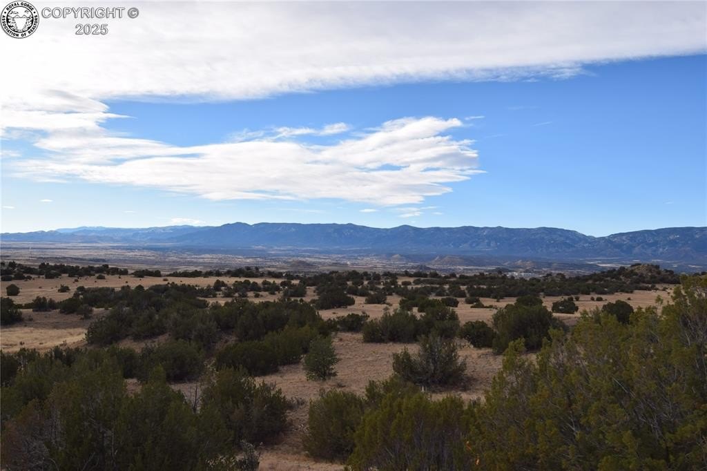
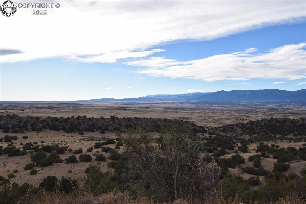
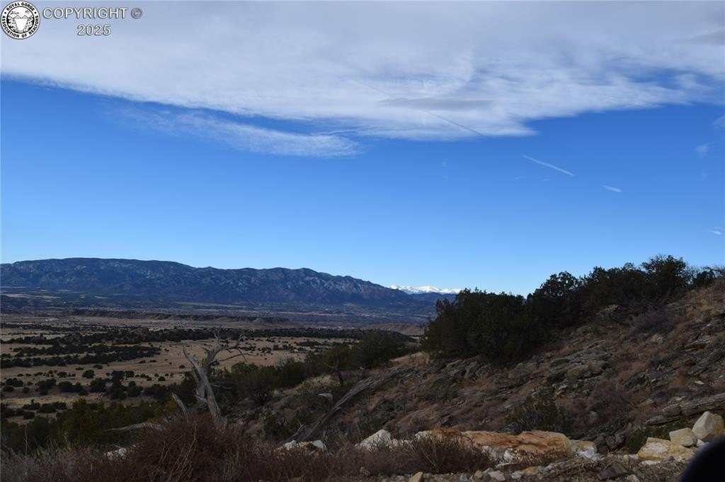
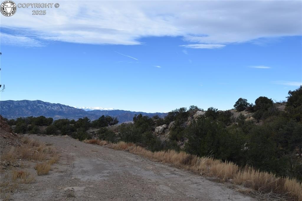
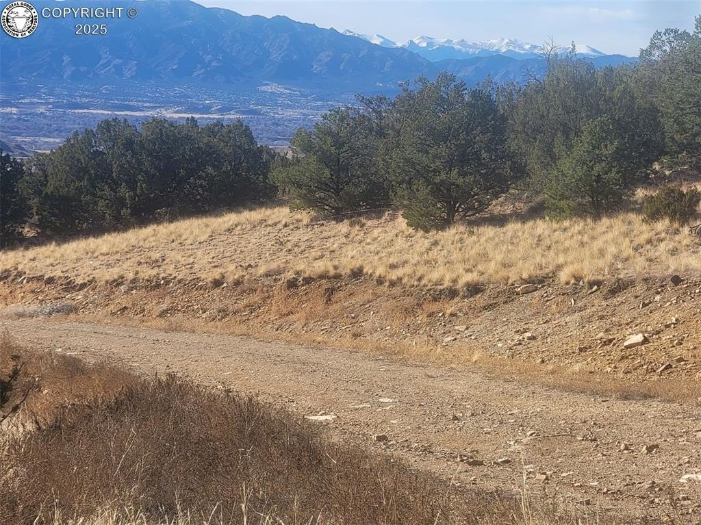
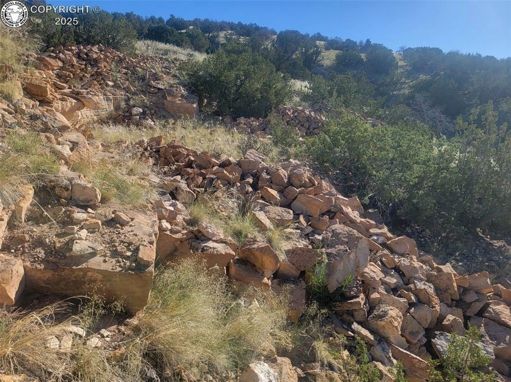
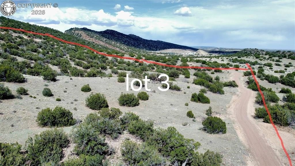
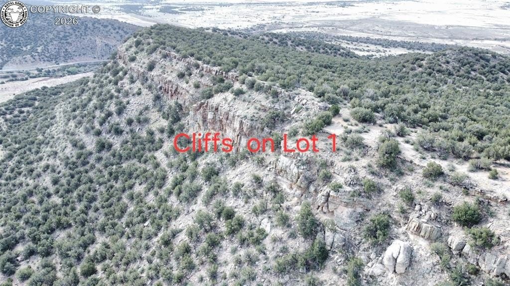
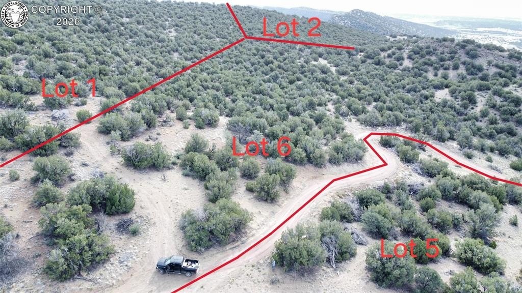
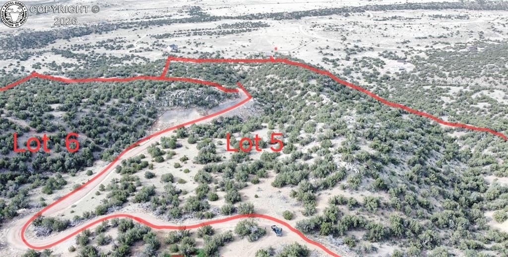
- 35‑acre mountain subdivision with six exclusive parcels in SPUR CROSS RANCH
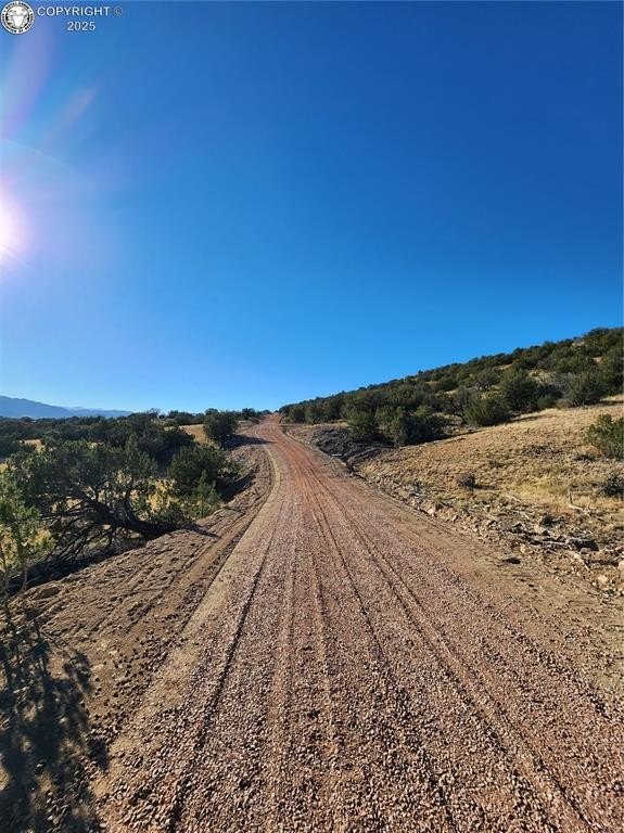
- Convenient access via interior ranch roads that are well graveled and year‑round accessible
- Located just a short drive from U.S. Highway 50 on County Road 67
- Agricultural status reported for the vacant land; stated taxes are $22.00 per parcel annually
- Parcel pricing: Parcels 1 & 2 are $110,000 each (no electricity); Parcel 6 is $110,000 (no electricity)
- Electricity installed on Parcels 3 ($180,000), 4 ($150,000), and 5 ($130,000)
Overview
The parcels are accessed via County Road 67 near Penrose, with the property described as a short drive from U.S. Highway 50. Electricity availability varies by parcel: parcels 3, 4, and 5 are listed as having electricity installed to the property, while parcels 1, 2, and 6 are noted as not having electricity.
This configuration can fit buyers seeking room to build a custom home while planning around utilities, as three of the parcels include electricity installed and three do not. With agricultural status already in place and year-round road access described, the offering is positioned for owners who want rural land that remains functional throughout the seasons.
Current Use by Public Records
Map
- City
- Penrose
- County
- Fremont
- State
- Colorado
- Longitude
- -105.116421
- Latitude
- 38.484571