County Road 530, Williamsville, MO 63967
- Added:
- Apr 14, 2026
- Days on Market:
- 84
- Last Refresh:
- Jul 6 at 1:06 pm
Property Features for County Road 530
General Information
- Property type
- Land
- Property subtype
- Other
- Zoning
- Farm & Ranch
- Standard status
- Active
- APN
- 08-03-05.0-000-000-004.000
- Lot size
- 76.00 Acres
Taxes and HOA fees
- Tax Year
- 2024
- Tax Annual Amount
- 97
Listing agent Jordan Thompson License #2024007717 (636) 387-8317
Listing office Premier Farm Realty Group LLC 8721 Commercial Blvd, Pevely, MO (636) 387-8317
Listing date Apr 14, 2026
Copyright © 2026 Mid America Regional Information Systems, Inc. All rights reserved. All information provided by the listing agent/broker is deemed reliable but is not guaranteed and should be independently verified.
HighLights
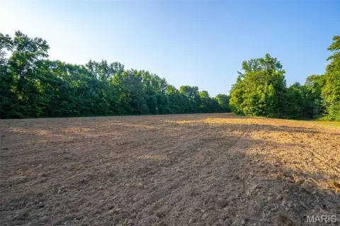
- 76‑acre recreational property within walking distance of the Black River
- Open pasture suitable for grazing or crop rotation, with neighboring fields used for soybeans and rice
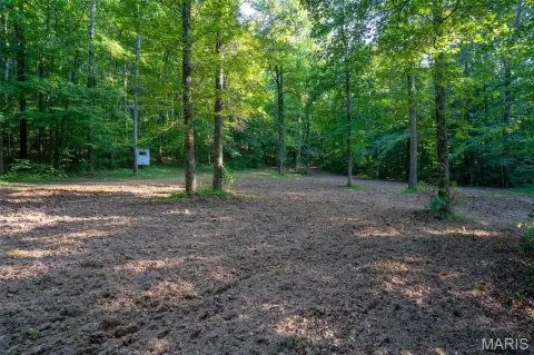
- Mature white oaks spread throughout the property
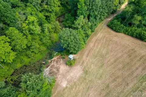
- Large block of timber with potential food‑plot areas for hunting use
- About 10 minutes to Poplar Bluff for quick access to shopping, dining, and amenities
- Offered for sale in its entirety or split into 3 tracts (see map for tract information)
Overview
The property is described as being within walking distance of the Black River, supporting water-based recreation such as fishing and floating. It is also positioned about 10 minutes from Poplar Bluff for access to shopping, dining, and other everyday amenities, while still offering a more private, outdoor-oriented setting.
With its combination of pasture, timber cover, and mature oaks, the acreage can fit multiple rural uses, including a hunting farm or recreational retreat. Buyers looking for land to enjoy around the water, support wildlife habitat, or develop a future homesite will have a natural mix of open and wooded areas to work with. The split-tract option also supports consideration of different ownership plans depending on how you intend to use the property.
Current Use by Public Records
Map
- City
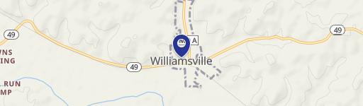
- Williamsville
- County
- Wayne
- State
- Missouri
- Longitude
- -90.43124388
- Latitude
- 36.84910881