Co Rd 511 / Y5 Rd lot Stonington, Rapid River, MI 49878
- Added:
- Jun 16, 2026
- Days on Market:
- 9
- Last Refresh:
- Jun 24 at 11:06 am
Property Features for Co Rd 511 / Y5 Rd lot Stonington
General Information
- Property type
- Land
- Property subtype
- Other
- Standard status
- Active
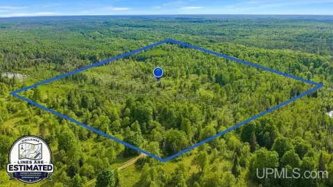
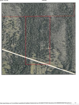
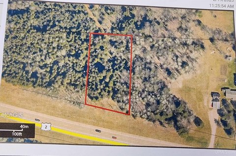
- Lot size
- 120.00 Acres
Taxes and HOA fees
- Tax Year
- 2025
- Tax Annual Amount
- 1932
Listing agent TJ THOMAS (906) 420-1280
Listing office NORTHERN MICHIGAN LAND BROKERS - ESCANABA 916 Ludington Street, Escanaba, MI (906) 225-5263
Listing date Jun 16, 2026
Copyright © 2026 Upper Peninsula Association of Realtors. All rights reserved. All information provided by the listing agent/broker is deemed reliable but is not guaranteed and should be independently verified.
HighLights
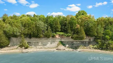
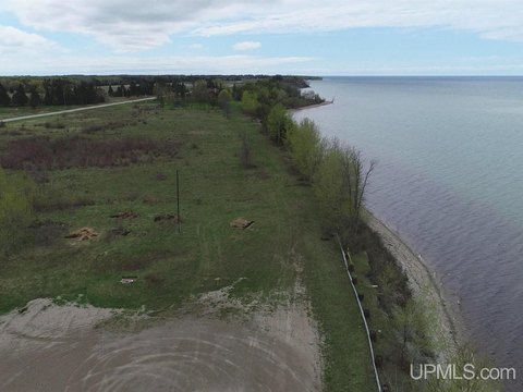
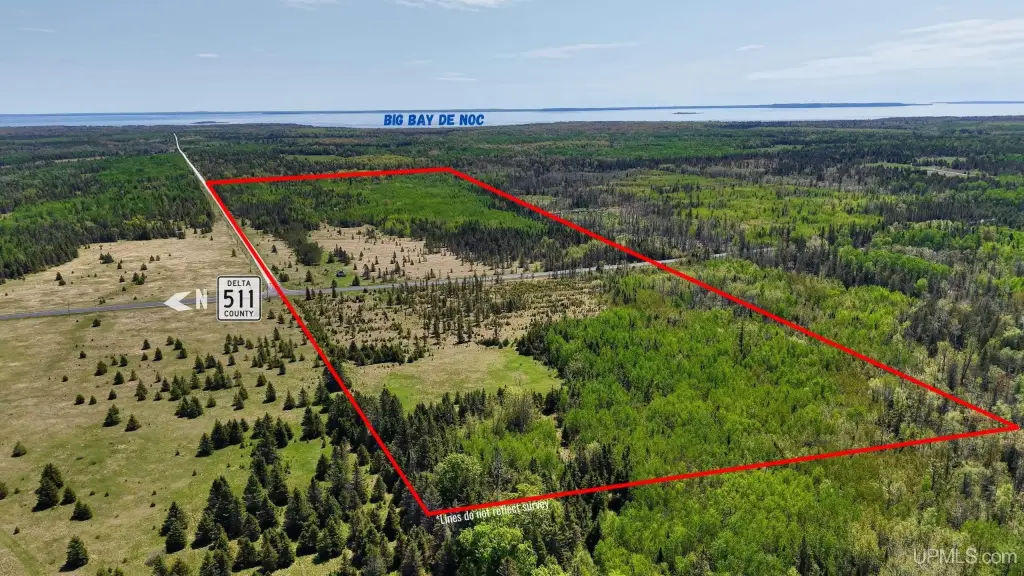
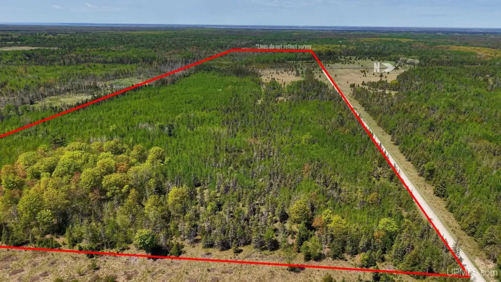
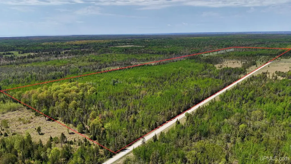
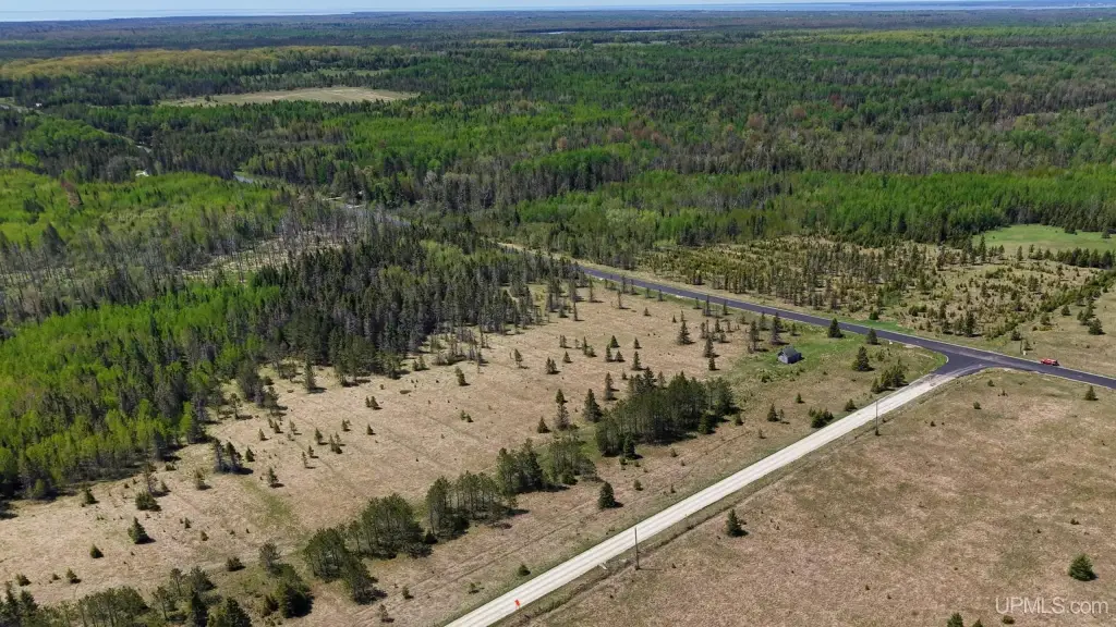
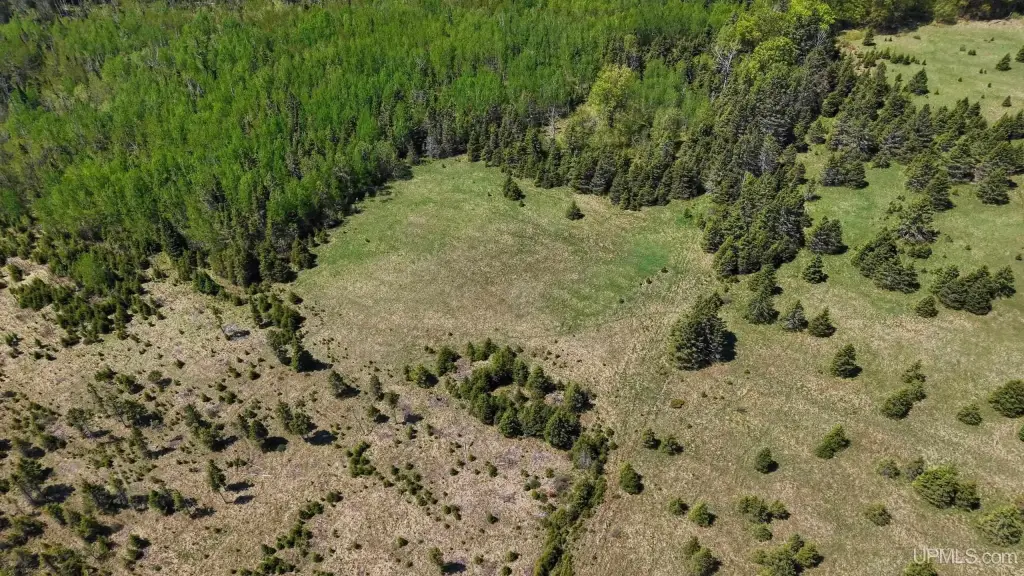
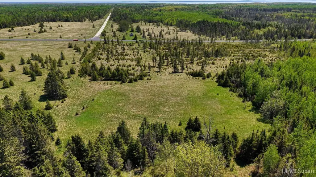
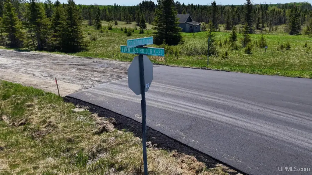
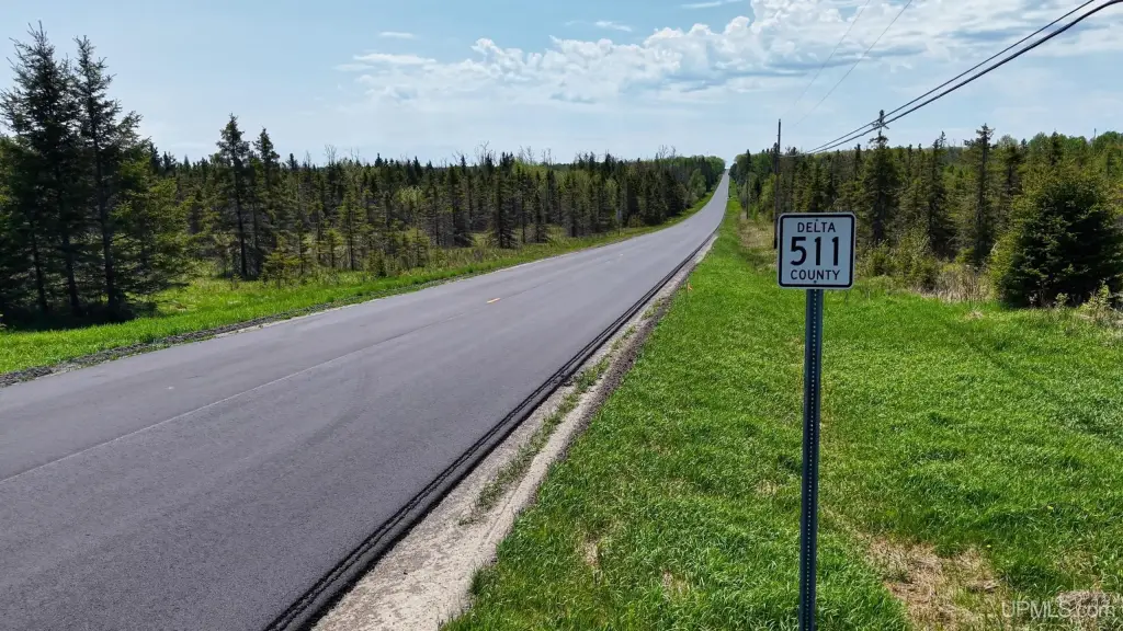
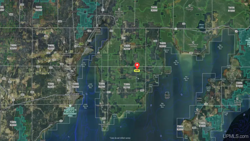
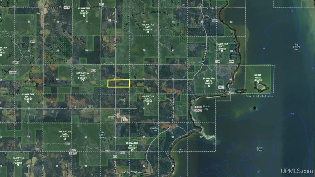
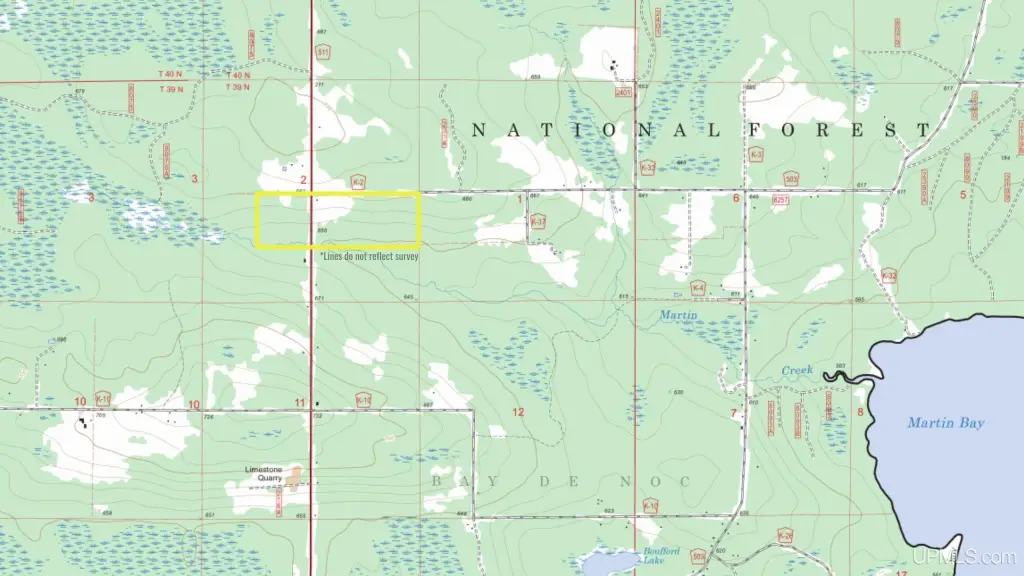
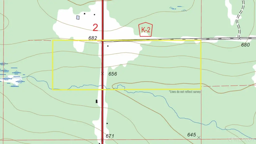
- 120‑acre contiguous tract on Michigan’s Stonington Peninsula with road frontage on County Road 511 and Finn Road
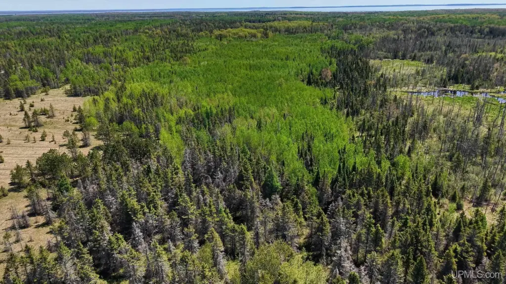
- Borders Hiawatha National Forest public land for added adjacency to public recreational land
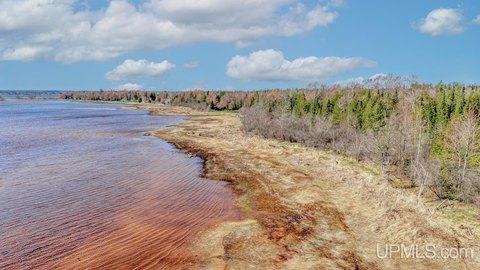
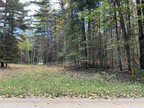
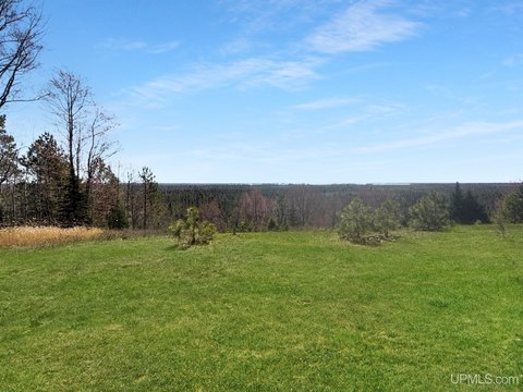
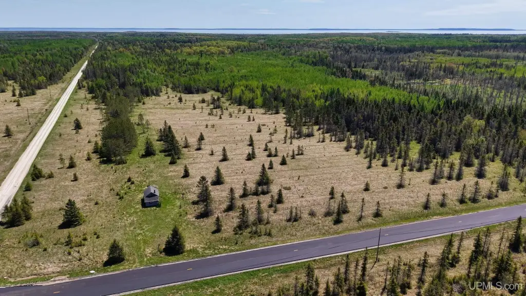
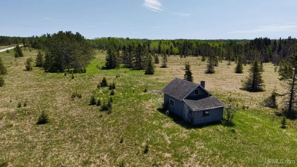
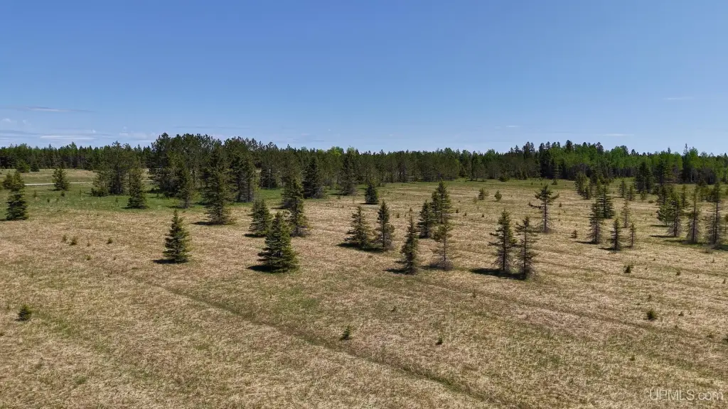
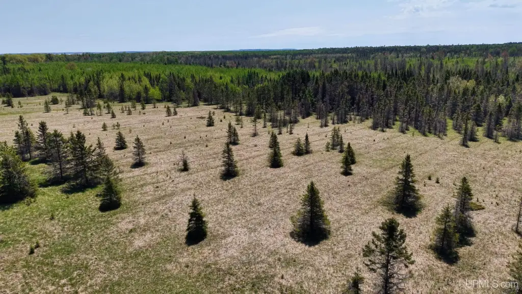
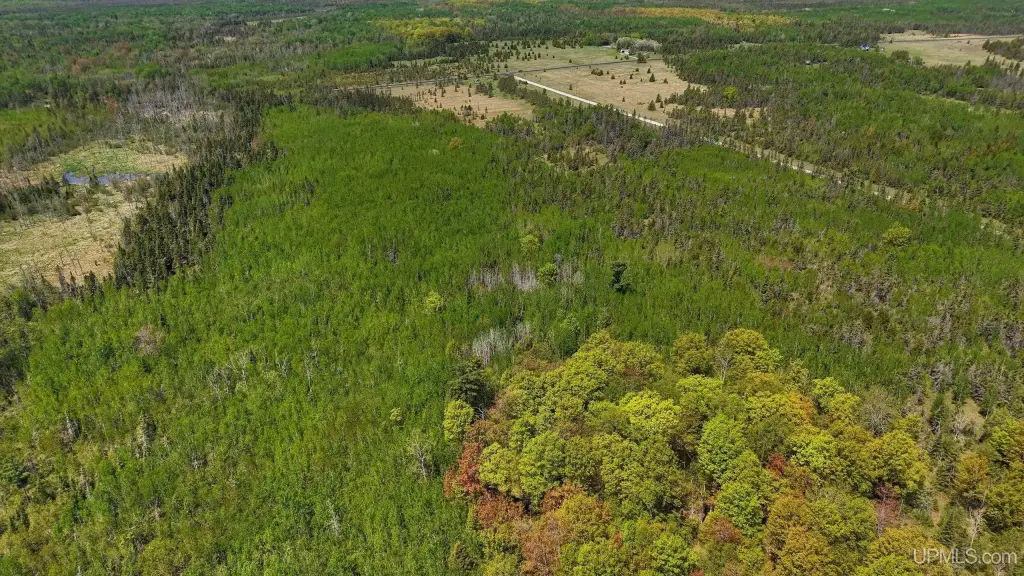
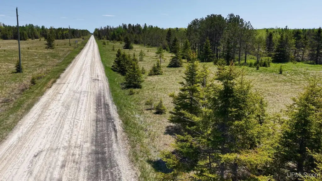
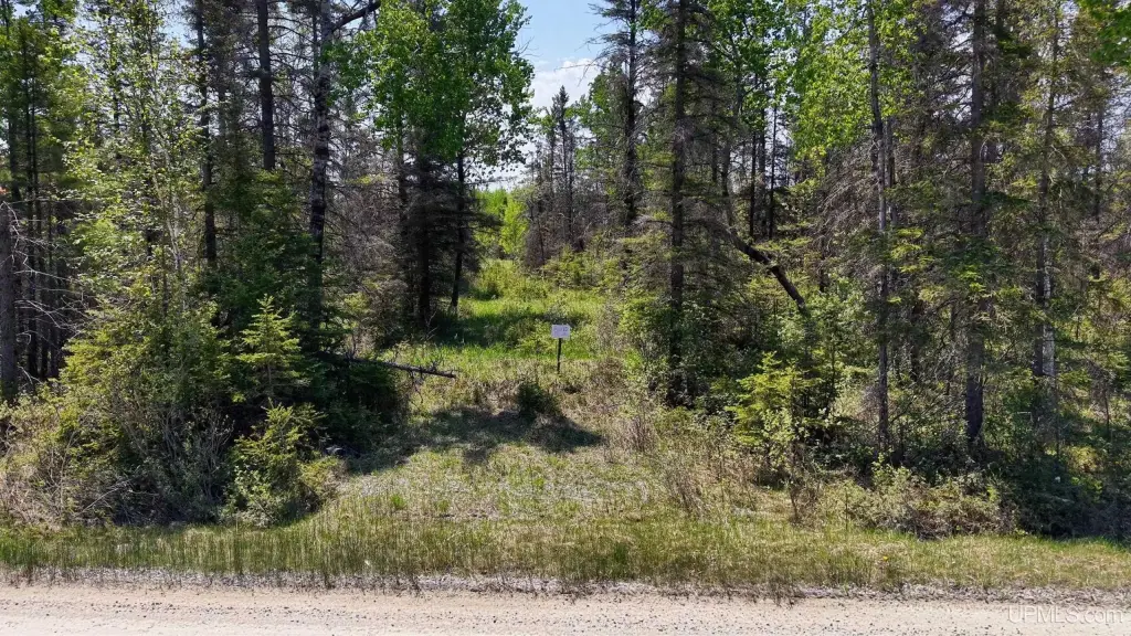
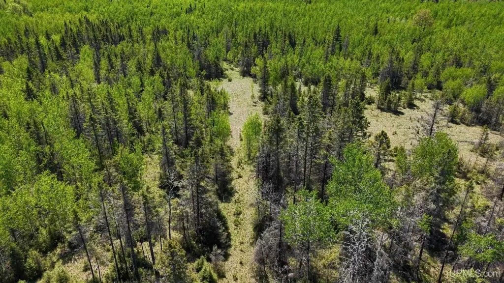
- Terrain includes rolling open meadows, regenerating forest, scattered spruce cover, and mature hardwood pockets
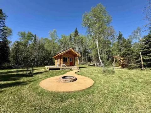
- Several existing clearings provide potential home, cabin, hunting camp, or recreational retreat sites
- Power is available at the road; broadband infrastructure is being expanded in the area
- Abundant wildlife sign with habitat mix of cover and openings for deer, grouse, and other game
Overview
The land offers year-round access with frontage on both County Road 511 and Finn Road, and it borders Hiawatha National Forest public land, creating added privacy and outdoor adjacency. Power is available at the road, and broadband infrastructure is currently being expanded in the area.
For buyers seeking a practical, self-directed recreational property—or a future homesite with acreage and immediate utility access—this large ownership provides flexibility without breaking into smaller parcels. With dry, usable ground and multiple clearing locations, the tract can accommodate different site planning choices while maintaining a long-term recreational and land-use outlook. The property has been held within the same family for generations and assembled back into a single ownership over time.
Current Use by Public Records
Map
- City
- Rapid River
- County
- Delta
- State
- Michigan
- Longitude
- -86.86269493
- Latitude
- 45.80236461