Buffalo Wells Road, Christmas Valley, OR 97641
- Added:
- Jul 4, 2026
- Days on Market:
- 3
- Last Refresh:
- Jul 6 at 1:06 am
Property Features for Buffalo Wells Road
General Information
- Property type
- Land
- Property subtype
- Other
- Standard status
- Active
- APN
- 7213
- Lot size
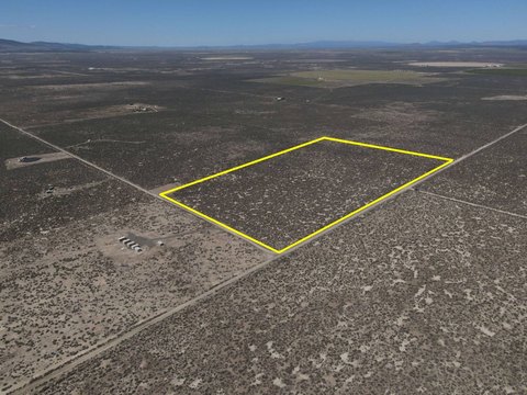
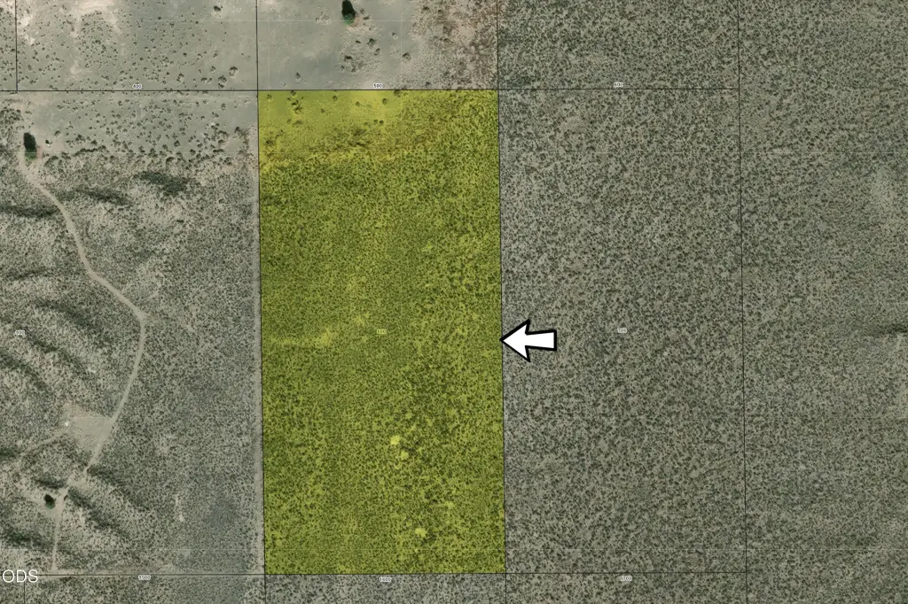
- 20.00 Acres
Taxes and HOA fees
- Tax Year
- 2025
- Tax Annual Amount
- 69
Listing agent Mitch Glen Darby License #201216749 (541) 508-8163
Listing office Berkshire Hathaway HomeService 805 SW Industrial Way, Ste 10, Bend, OR (541) 322-8880
Listing date Jul 4, 2026
Copyright © 2026 Oregon Data Share. All rights reserved. All information provided by the listing agent/broker is deemed reliable but is not guaranteed and should be independently verified.
HighLights
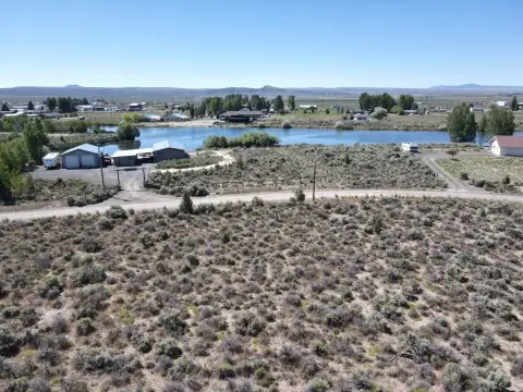
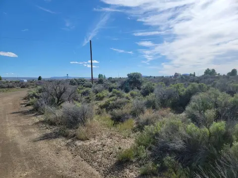
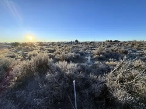
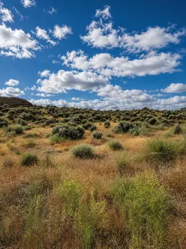
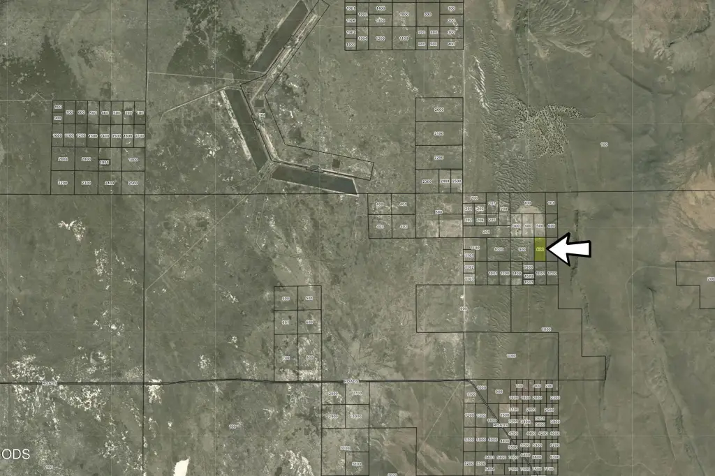
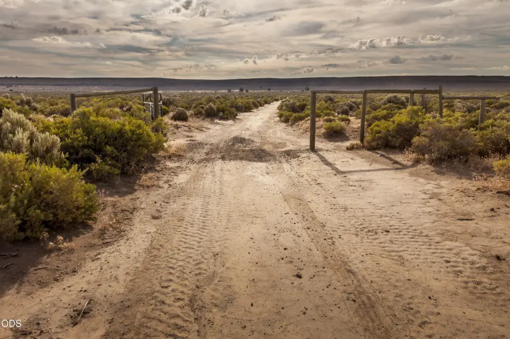
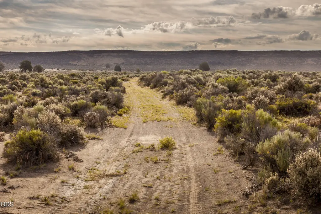
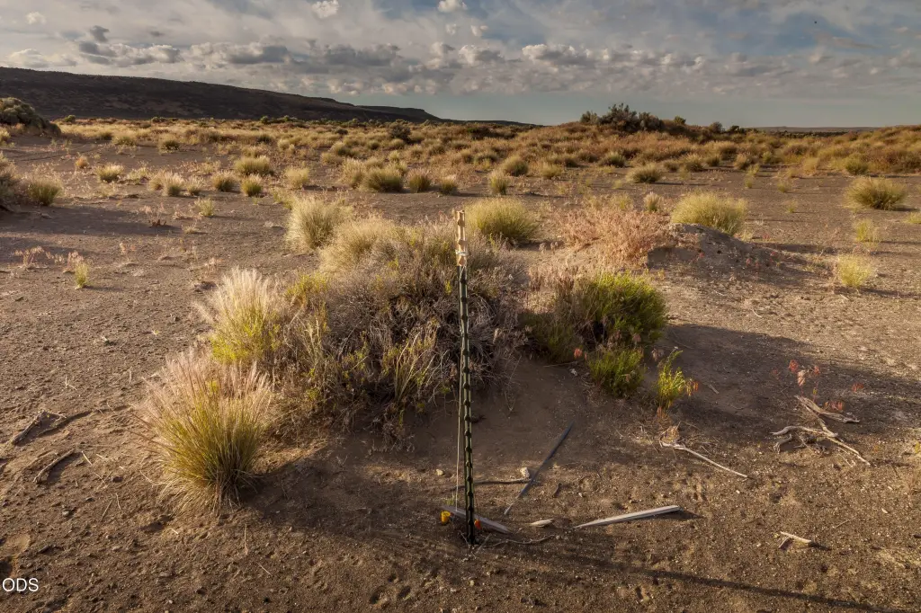
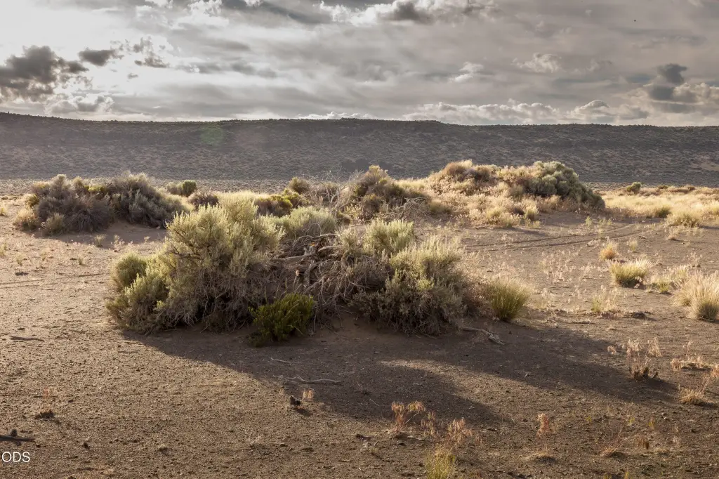
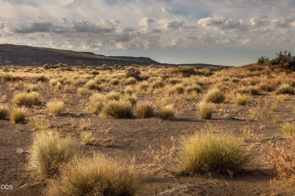
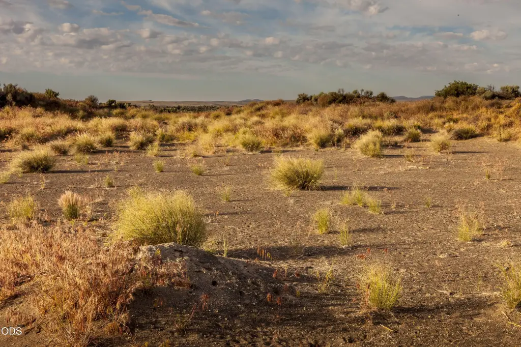
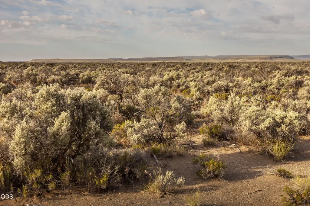
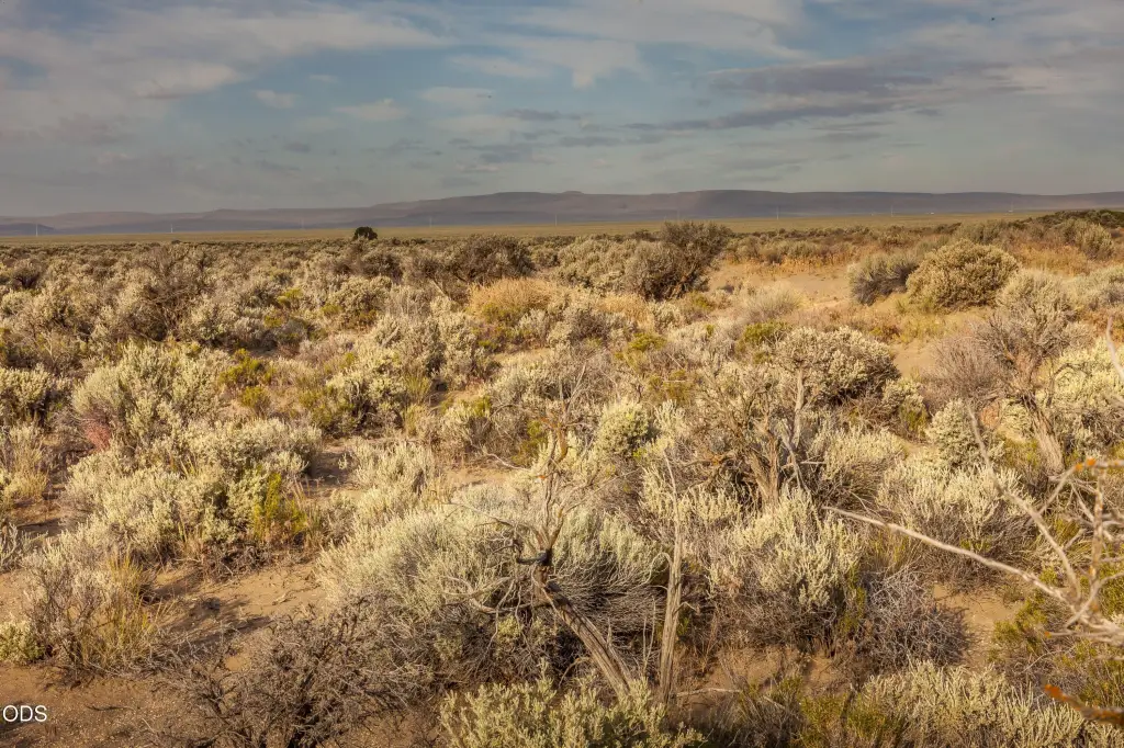
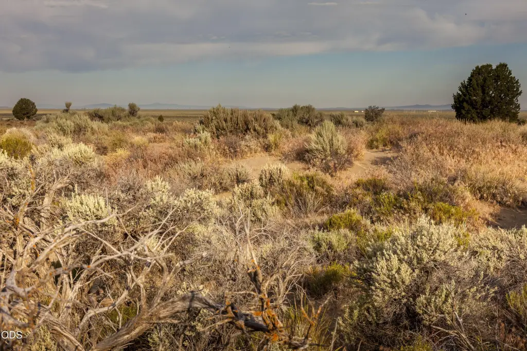
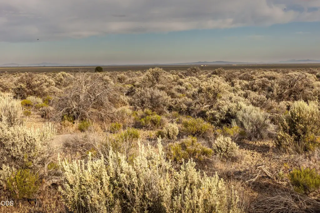
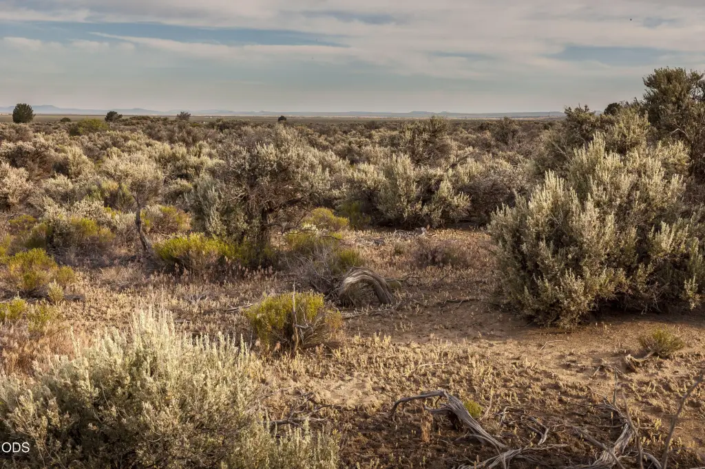
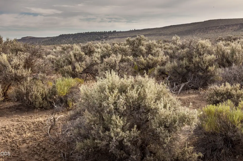
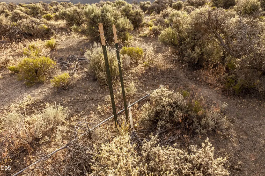
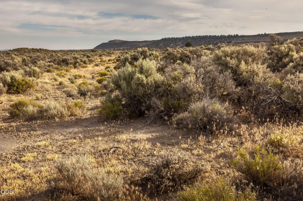
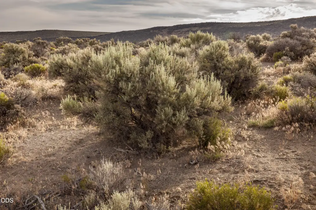
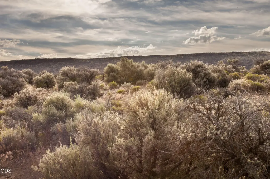
- 20 acres of gently sloping land with privacy, recreation space, and wide‑open high desert views
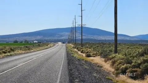
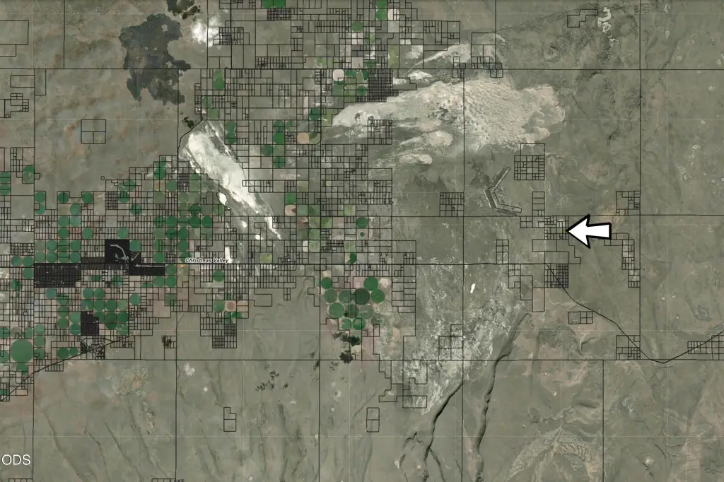
- Located about 20 miles east of the heart of Christmas Valley
- Zoned A2 (Agriculture) with an R (Range) designation
- Future development may be possible with a conditional use permit from Lake County
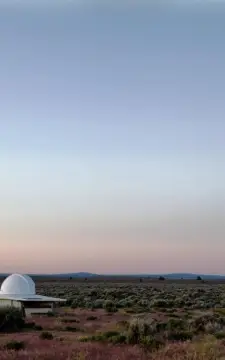
- Surrounding area includes Crack‑In‑The‑Ground and Hole‑In‑The‑Ground, plus Fort Rock and Table Rock
- Nearby outdoor recreation includes Christmas Valley Sand Dunes, Lost Forest, Summer Lake, Lake Albert, and thousands of acres of BLM land
Overview
According to the remarks, the tract is located about 20 miles east of the heart of Christmas Valley. The surrounding area is described as close to attractions such as Crack-In-The-Ground, Hole-In-The-Ground, Fort Rock, Table Rock, the Christmas Valley Sand Dunes, the Lost Forest, Summer Lake, and Lake Albert, plus thousands of acres of BLM land for hiking, off-roading, and hunting.
Zoning is reported as A2 (Agriculture) with an R (Range) designation. The listing notes that future development may be possible with a conditional use permit from Lake County. For buyers looking for high-desert acreage to enjoy for hunting and recreation, this parcel’s size, privacy, and agricultural/range zoning framework are key considerations.
Current Use by Public Records
Map
- City
- Christmas Valley
- County
- Lake
- State
- Oregon
- Longitude
- -120.320021
- Latitude
- 43.258443