BO. QUEBRADA, Camuy 00627

- Added:
- Feb 17, 2026
- Days on Market:
- 115
- Last Refresh:
- Jun 12 at 12:06 pm
Property Features for BO. QUEBRADA
General Information
- Property type
- Land
- Property subtype
- Other
- Zoning
- SREP-EH
- Standard status
- Active
- APN
- 102-000-005-19-000
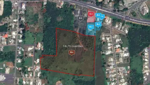
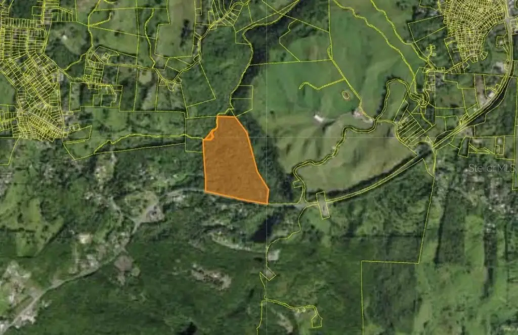
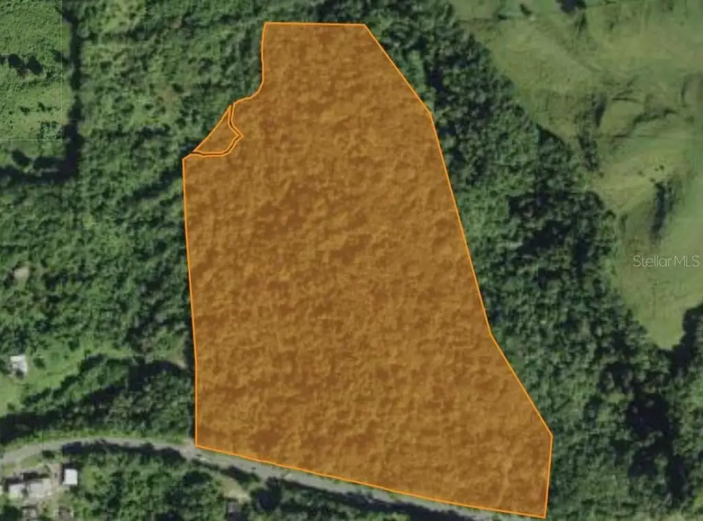
- Lot size
- 50.00 Acres
Building Details
- Architectural style
- Other
Listing agent Lorraine Fores Garces License #24941 (787) 455-6501
Listing office EXP PUERTO RICO INC. Calle 1 Suite 204, Luquillo (787) 455-6501
Listing date Feb 17, 2026
Copyright © 2026 Stellar MLS. All rights reserved. All information provided by the listing agent/broker is deemed reliable but is not guaranteed and should be independently verified.
HighLights
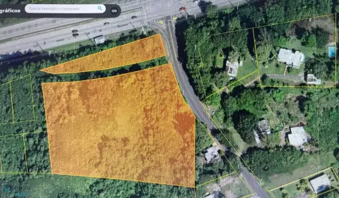
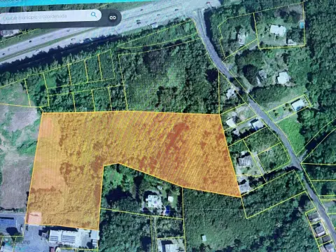
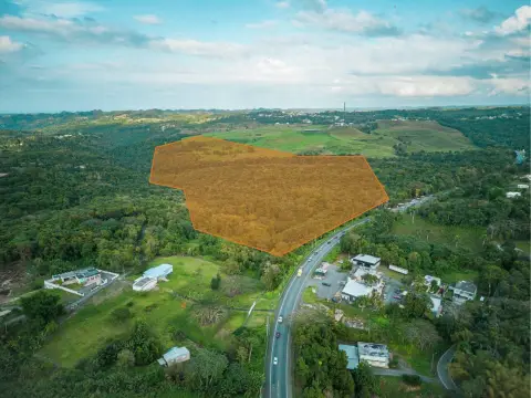
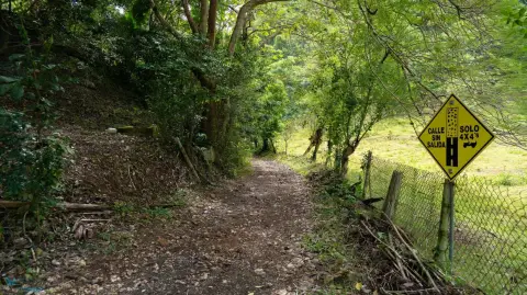
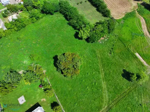
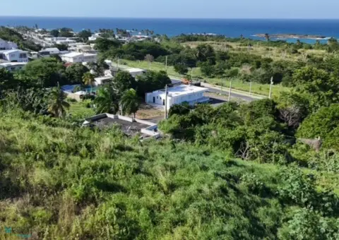
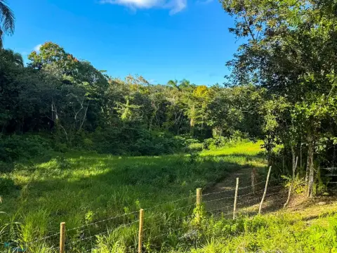
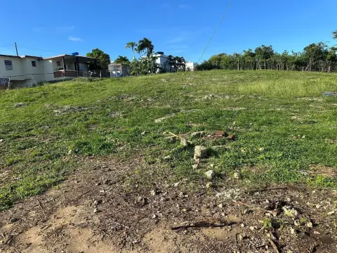
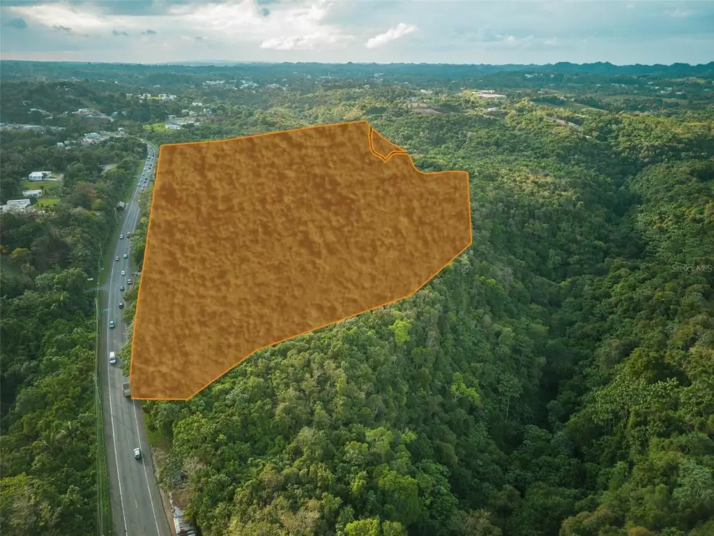
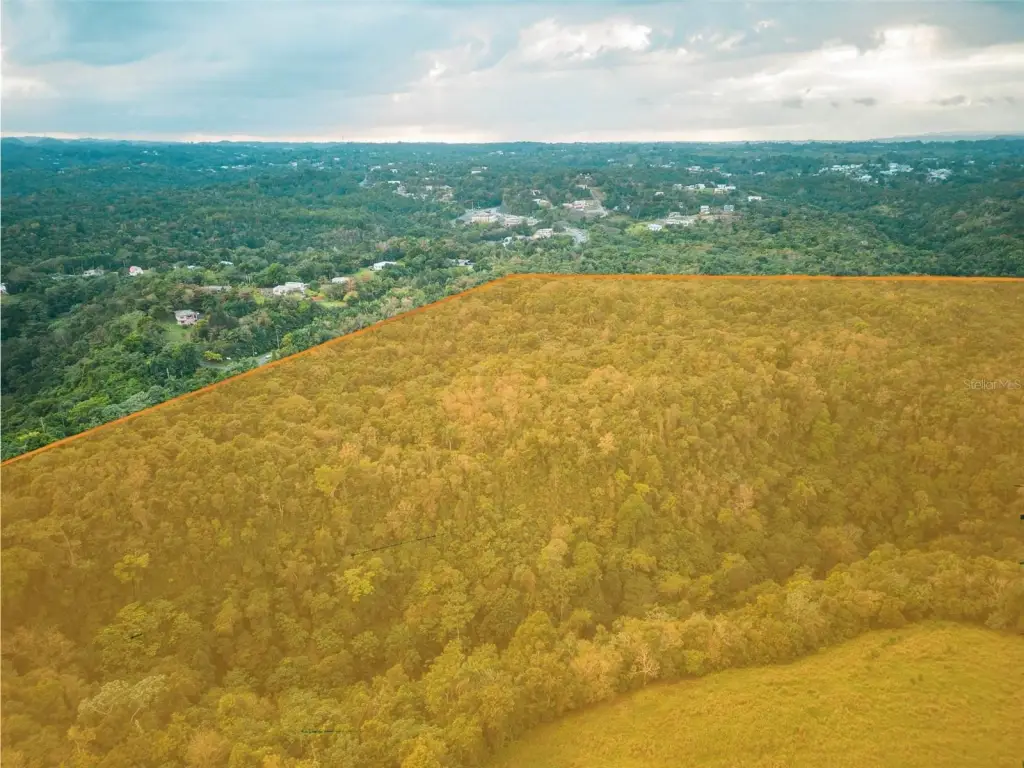
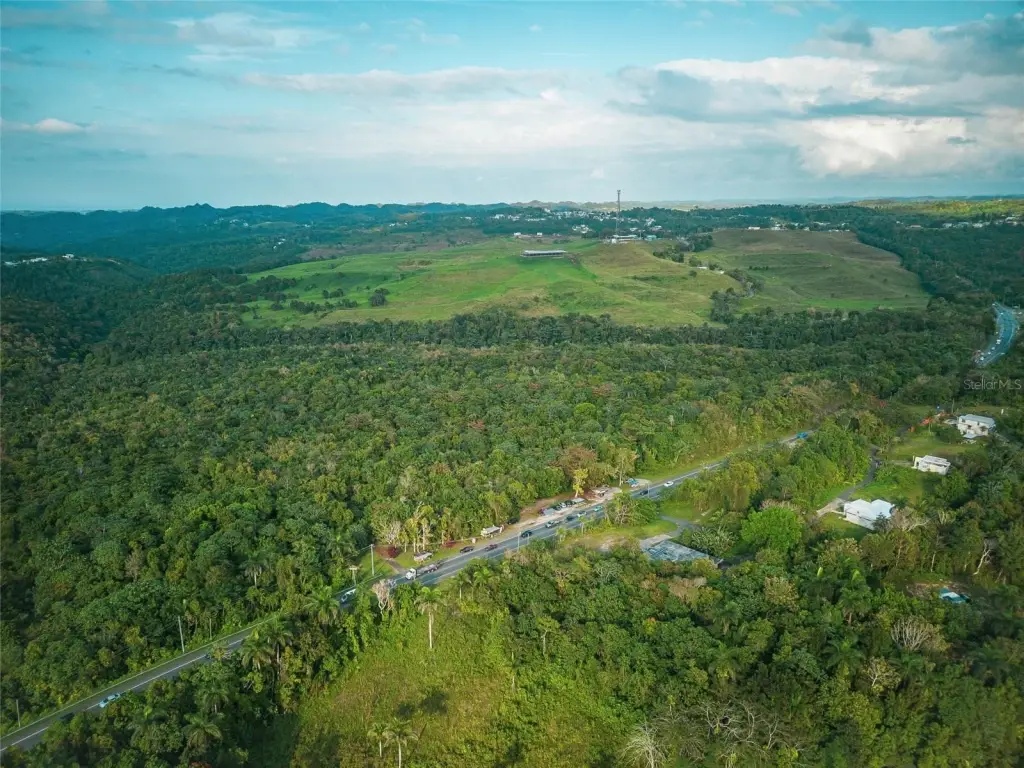
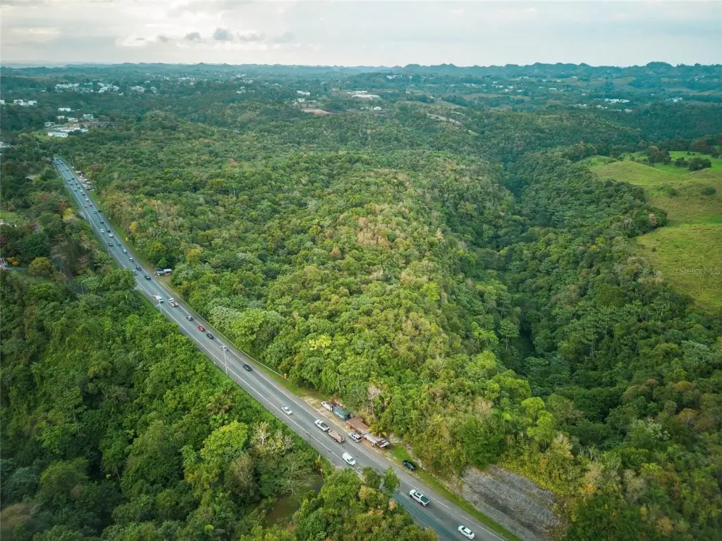
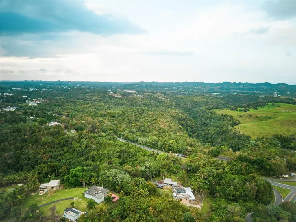
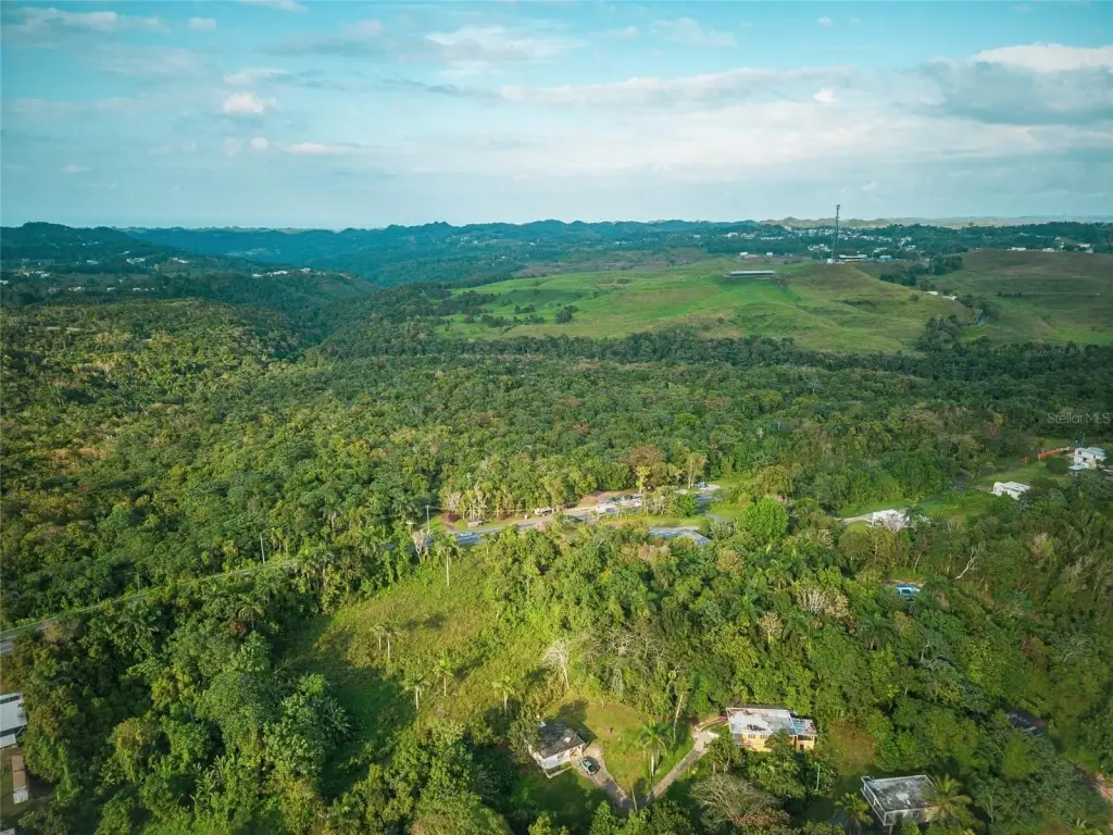
- Large 50+ acre farm suitable for livestock, agriculture, or eco‑productive projects
- Located outside the FEMA flood zone (Zone X) with access to water and electricity
- Permitted uses include agriculture, livestock, beekeeping, forestry, housing (single/two‑family, micro), and recreational facilities
- Classified as SREP with C‑R rating, ideal for agro‑commercial development
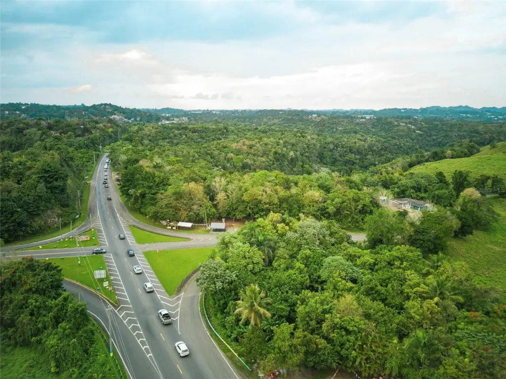
- Area renowned for livestock farming and active agricultural development with excellent accessibility
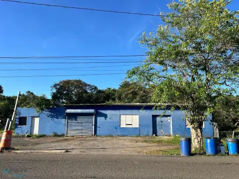
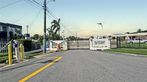
- Well‑established commercial environment
Overview
The property’s permitted use framework includes agriculture and crops, livestock and compatible livestock businesses, beekeeping and aquaculture, forestry and agroforestry, and recreational or ecotourism facilities. Additional allowed options listed include bed and breakfast, single-family or two-family housing, and micro houses. The remarks also note that other uses may be possible upon consultation with OGPe.
For tenant and buyer fit, this land is best suited to operators seeking acreage for livestock expansion and broader agro-commercial activity, as well as projects that align with the stated agricultural, forestry, and ecotourism use categories. With FEMA Zone X status and utilities access on site, the tract can be evaluated as a foundation for large-scale eco-productive development or compatible residential-style uses where permitted by the applicable regulatory guidance.
Current Use by Public Records
Map
- City
- Camuy
- County
- Toa Alta
- State
- Longitude
- -66.867492
- Latitude
- 18.411167