Eastern Oregon Farmland with
Sunset Lane, Burns, OR 97720
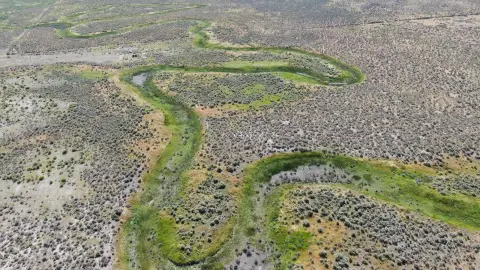
157 acres near Burns, Oregon with water rights.
Type:Land
Lot size:
157.00 Acres- Added:
- Aug 20, 2024
- Days on Market:
- 652
- Last Refresh:
- May 12 at 10:14 pm
Property Features for Sunset Lane
General Information
- Standard status
- Active
- Lot size
- 157.00 Acres
- Property subtype
- Land
Listing agent Curt Blackburn License #900200215
Listing office United County Real Estate | Jett Black Burn Real Estate
Listing date Aug 20, 2024
Source Crexi
Displayed information is deemed reliable but is not guaranteed and should be independently verified.
All listing content including descriptions, pricing, images are the copyrighted material of United County Real Estate | Jett Black Burn Real Estate
HighLights
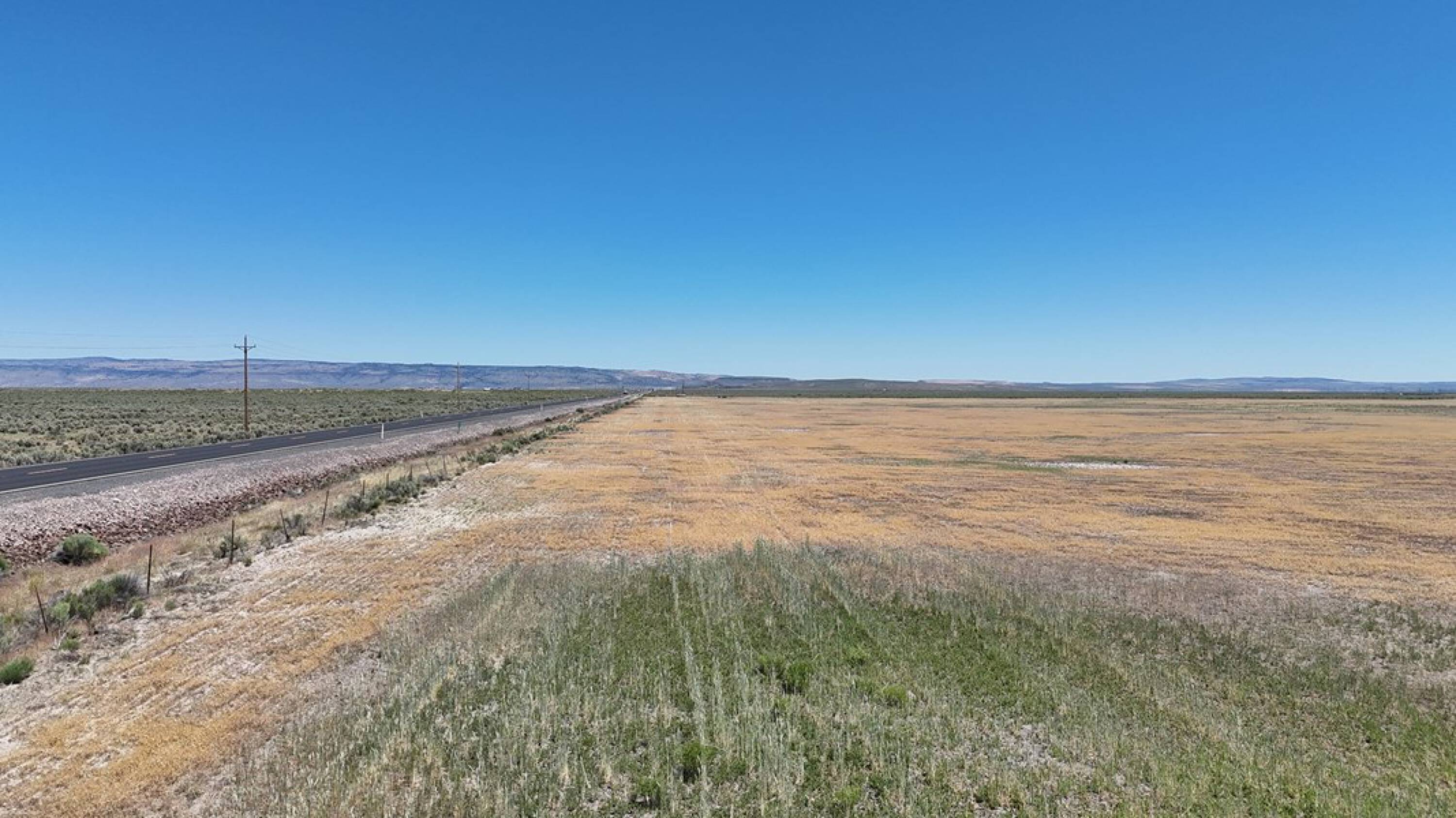
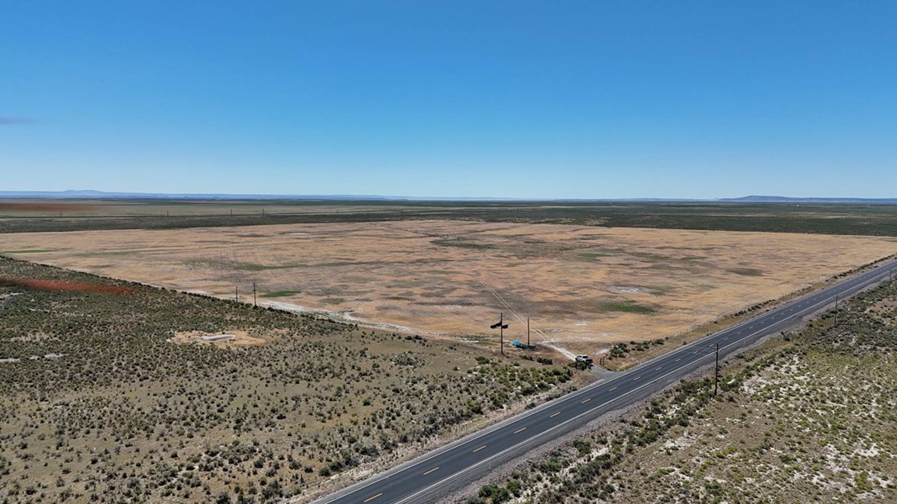
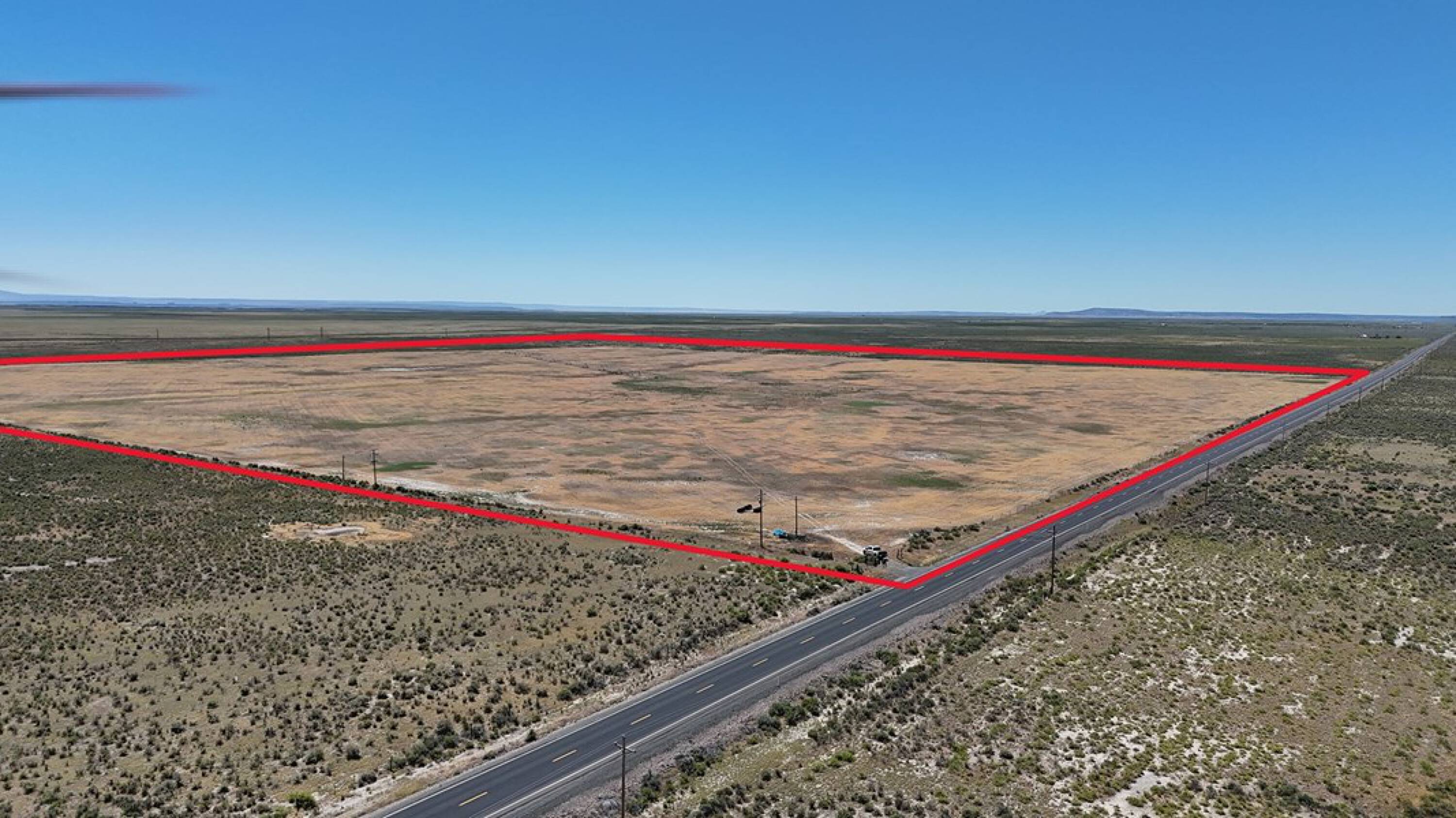
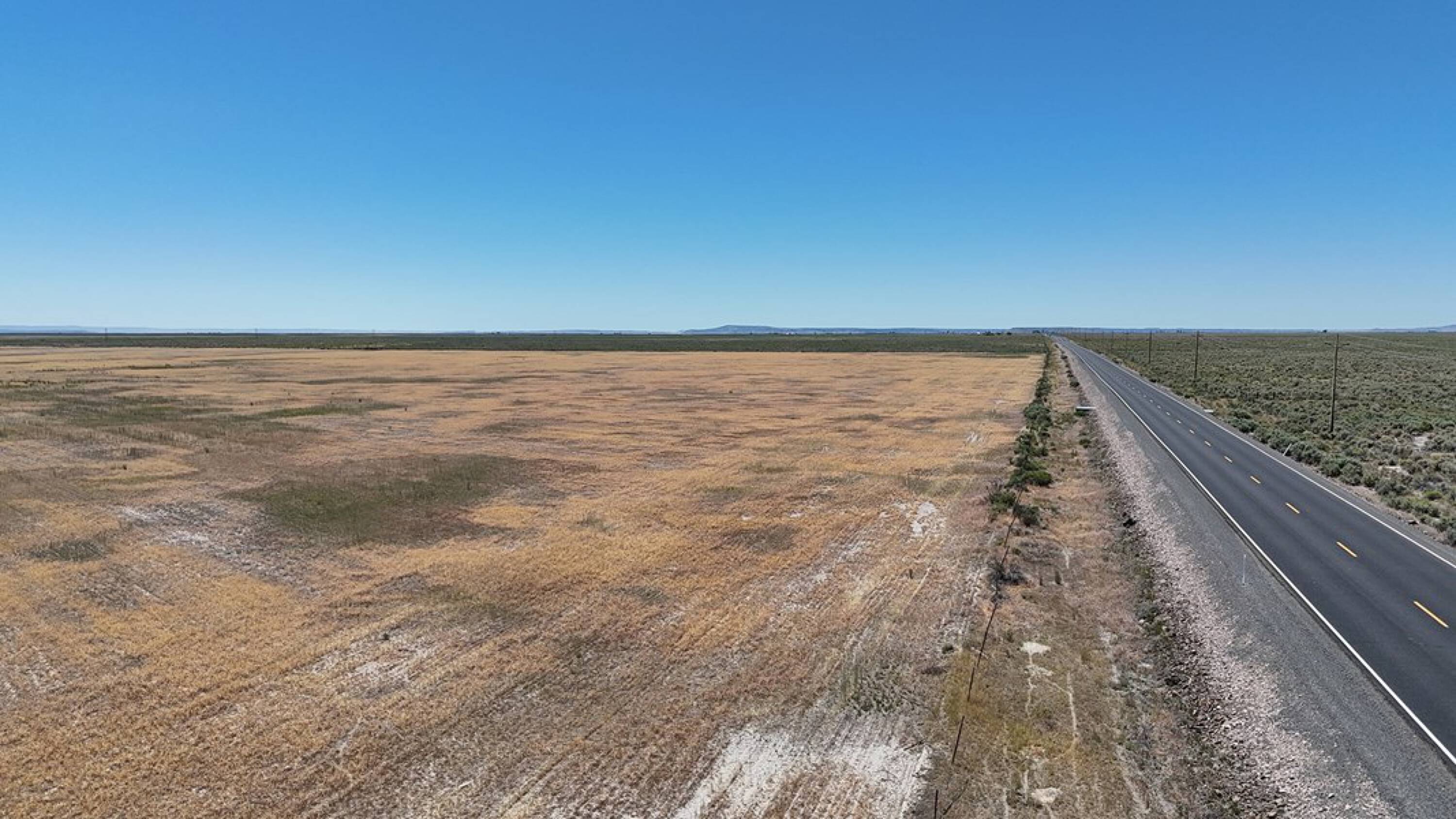
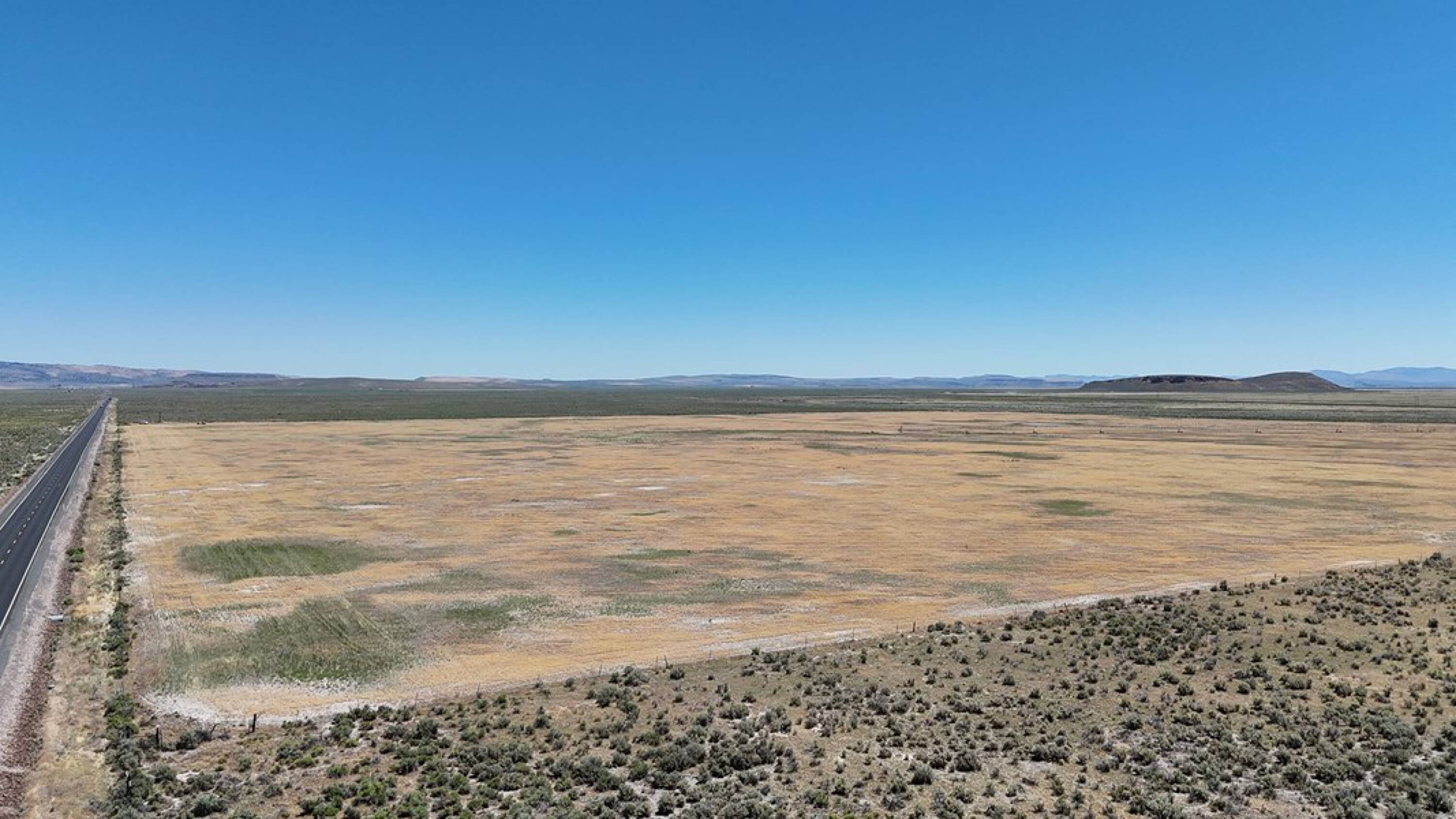
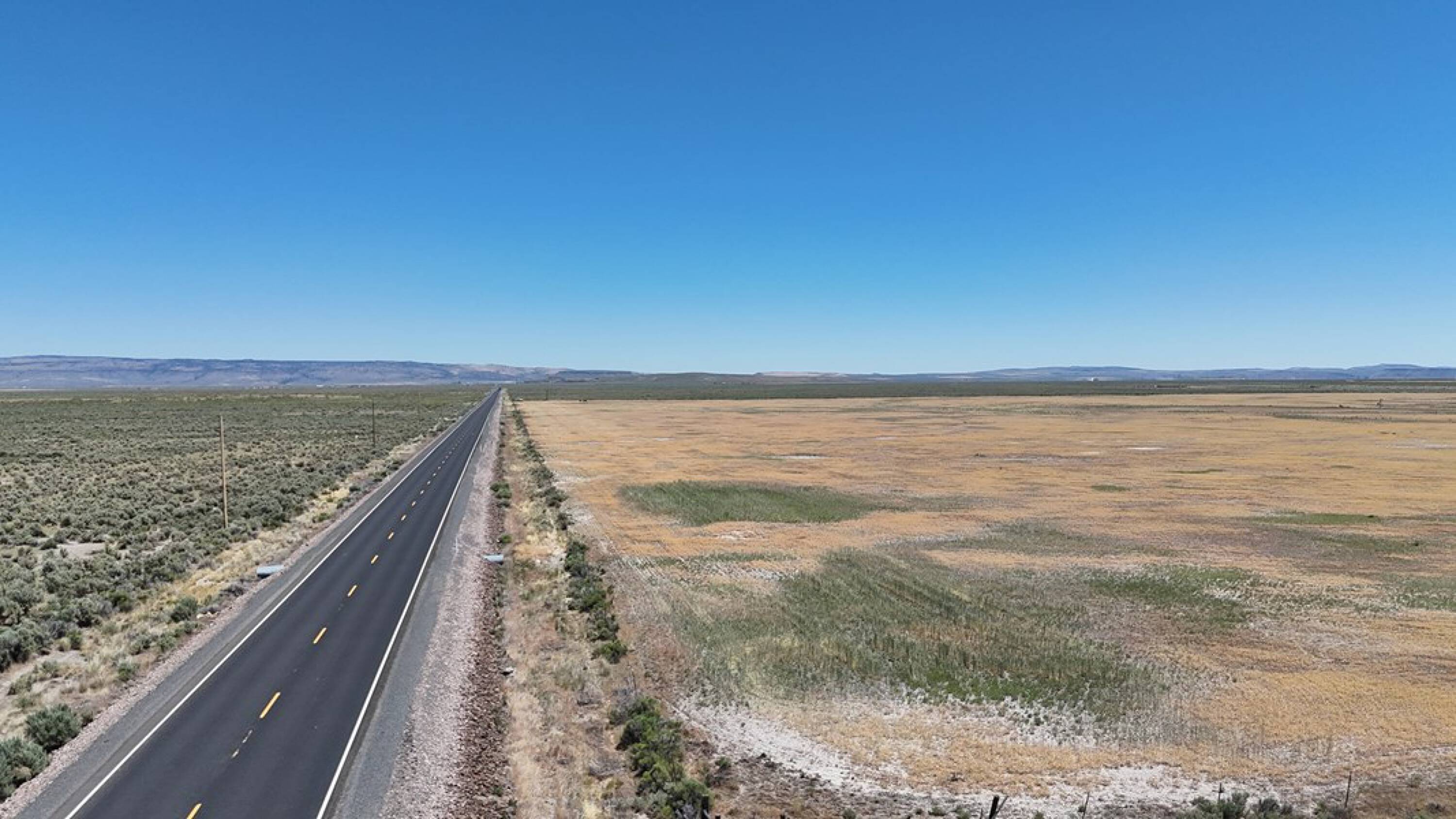
- Borders Highway 78, providing fantastic access.
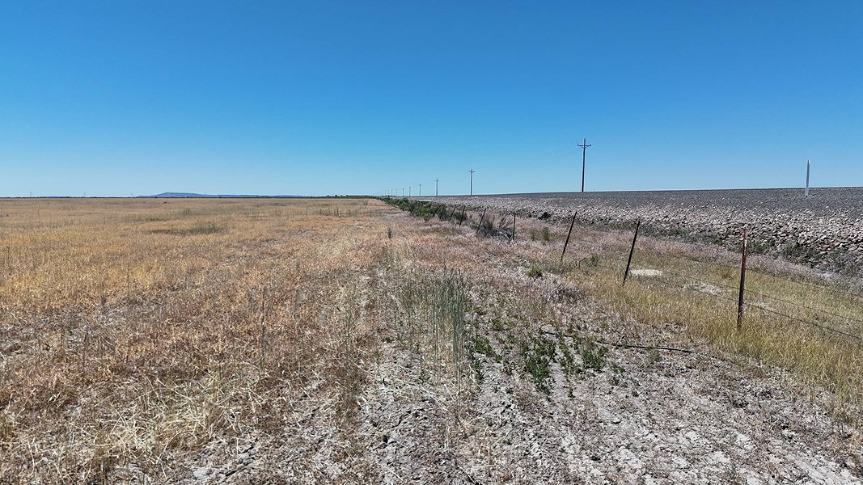
- 157 deeded acres in Eastern Oregon.
- Includes water rights certificate 93820 with an Oct. 29, 2008 priority date.
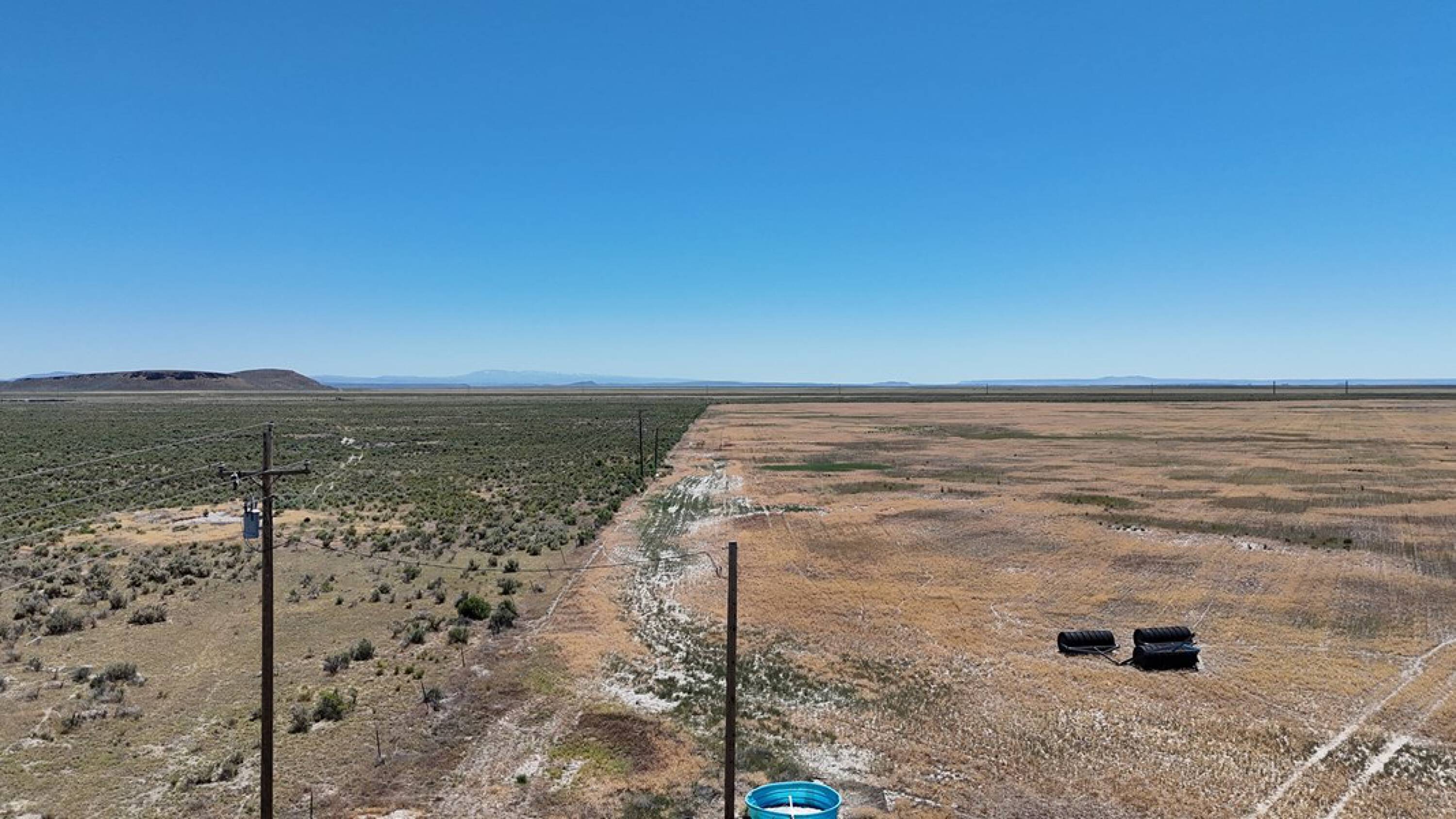
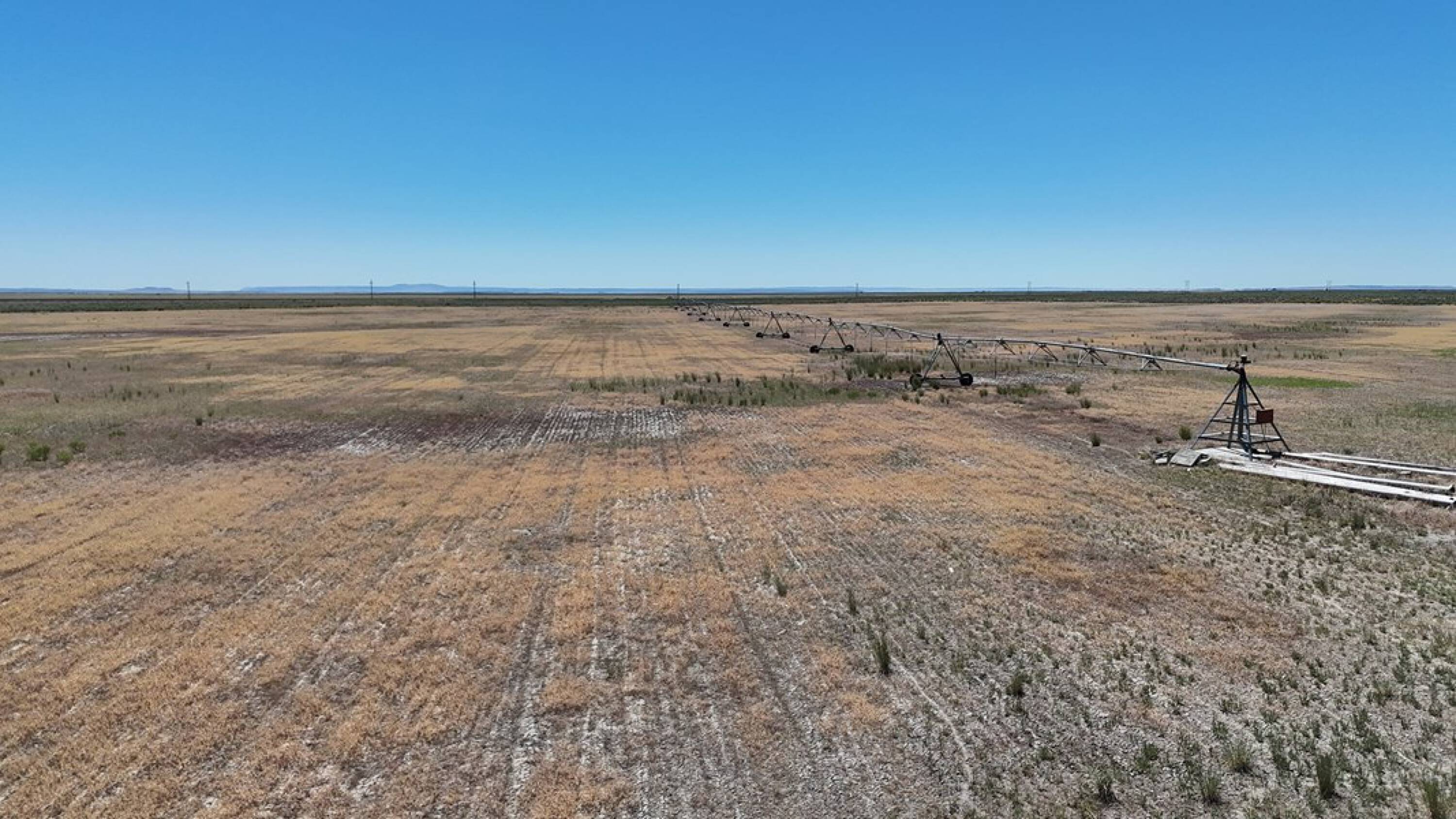
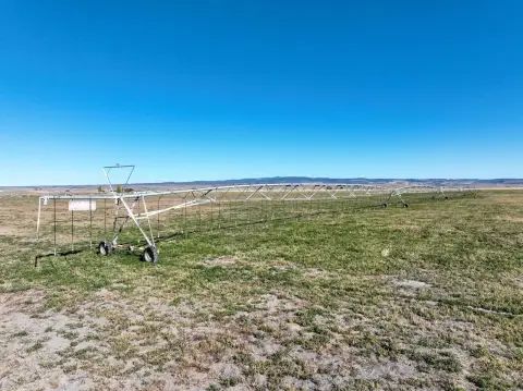
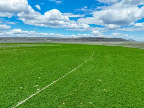
- Lockwood pivot irrigation system in place.
- Set up to irrigate 125 +/- acres.
- Potential as a starter farm.
Overview
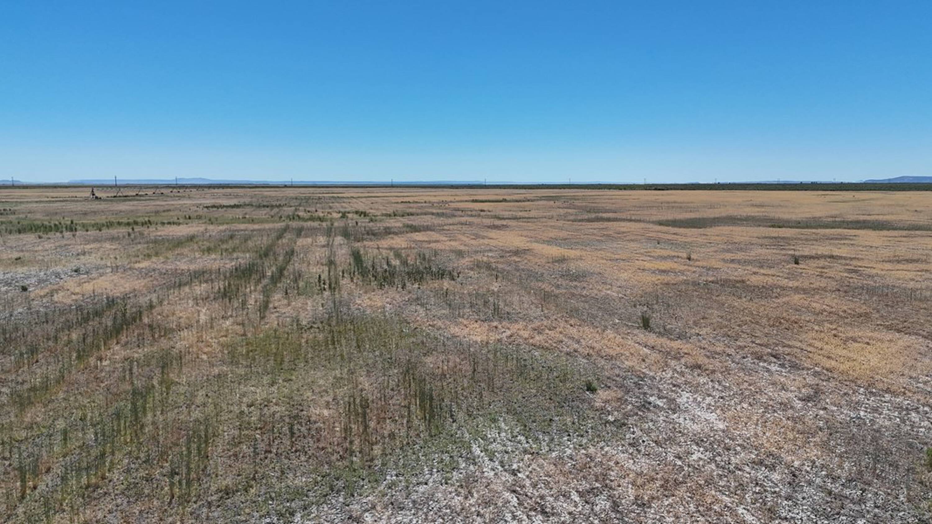
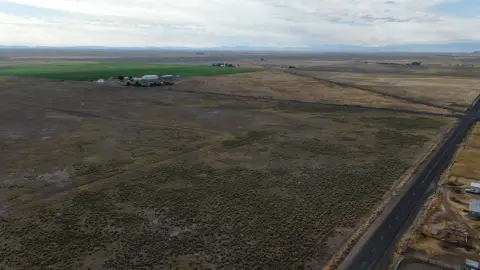
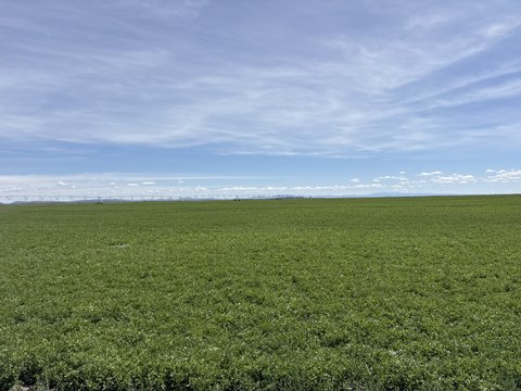
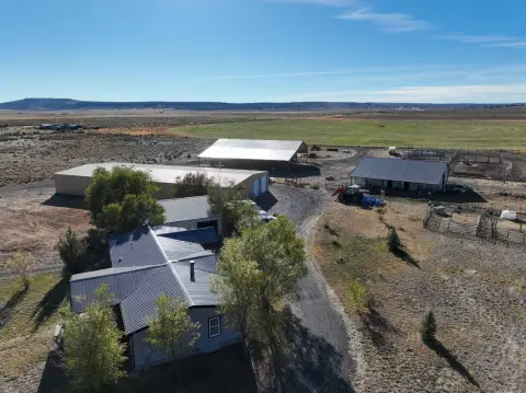
This Eastern Oregon property features 157 deeded acres with highway 78 frontage, located approximately 20 minutes east of Burns, Oregon. The land includes 157 acres of water rights under certificate 93820, with an October 29, 2008 priority date. A Lockwood pivot is in place, designed to irrigate approximately 125 acres. The property includes an irrigation well that requires cleaning, as well as a stock well situated in the northeast corner. This property is suitable as a starter farm.
Location Intelligence
Current Use by Public Records
Agricultural land / Farmland
Map
- City
- Burns
- County
- Harney
- State
- Oregon
- Longitude
- -119.065
- Latitude
- 42.9191
Nearby Similar for Sale
FAQs
What type of property is this?
Agricultural land / Farmland - 157 acres near Burns, Oregon with water rights.
Where is this agricultural land / farmland located?
The property is located at Sunset Lane Burns, OR.
What is the asking price?
The asking price for this property is $195,000.
What are key features of this property?
This property features: Borders Highway 78, providing fantastic access.; 157 deeded acres in Eastern Oregon.; Includes water rights certificate 93820 with an Oct. 29, 2008 priority date.