Boston Road, Barnesville, OH 43713
- Added:
- Mar 12, 2026
- Days on Market:
- 118
- Last Refresh:
- Jul 7 at 11:06 am
Property Features for Boston Road
General Information
- Property type
- Land
- Property subtype
- Other
- Standard status
- Active Under Contract
- Lot size
- 14.29 Acres
Listing agent Tyler Haessly (740) 352-3691
Listing office Buckeye Land Sales McArthur, OH (866) 341-5263
Listing date Mar 12, 2026
Copyright © 2026 My State MLS. All rights reserved. All information provided by the listing agent/broker is deemed reliable but is not guaranteed and should be independently verified.
HighLights
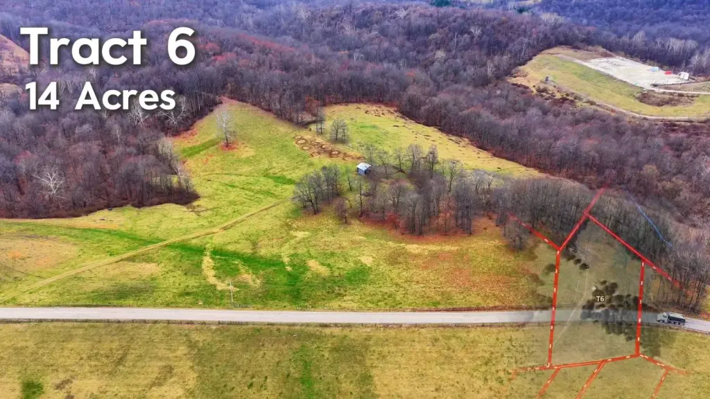
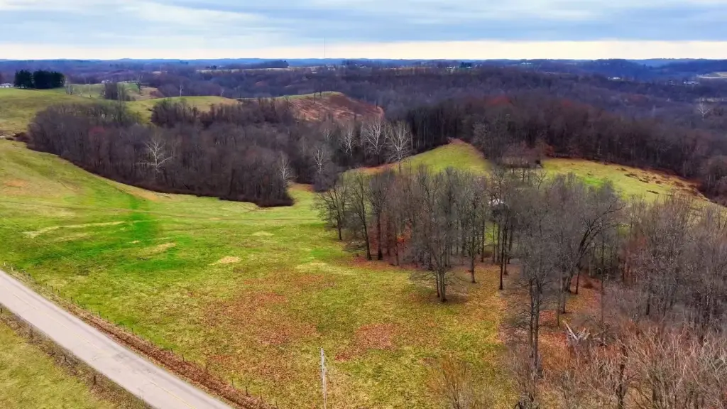
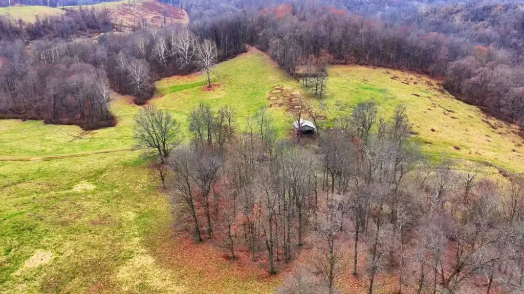
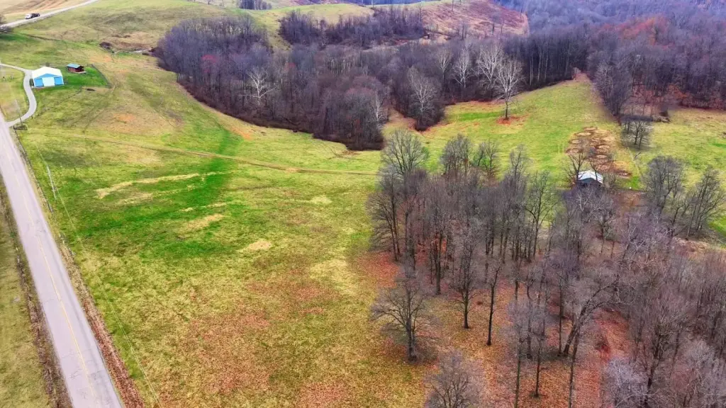
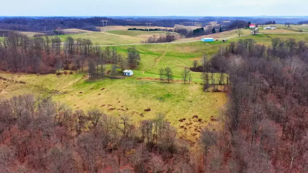
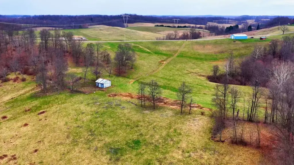
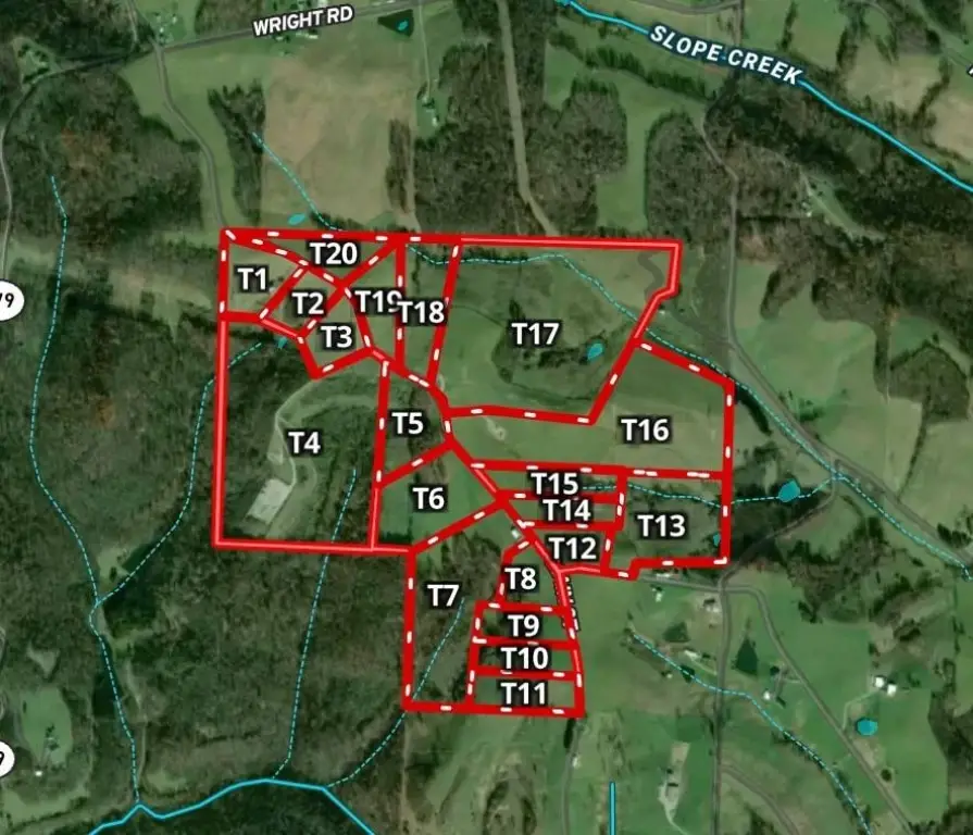
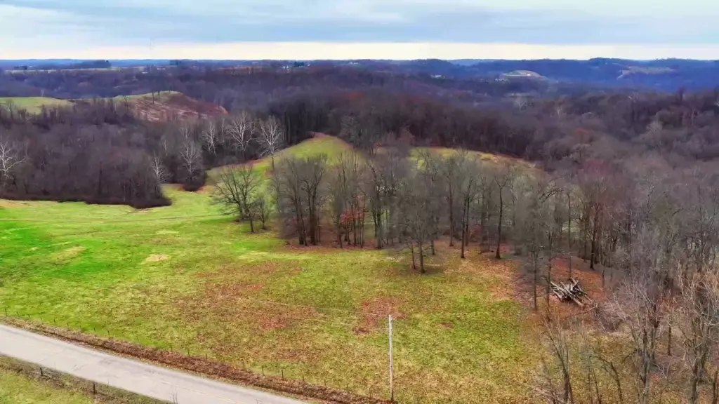
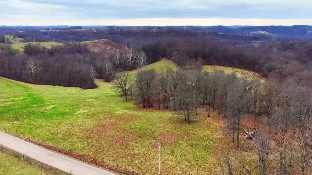
- 14.29‑acre mixed‑use tract in Belmont County, Somerset Township, near Johnson Rdg (Barnesville, OH 43713)
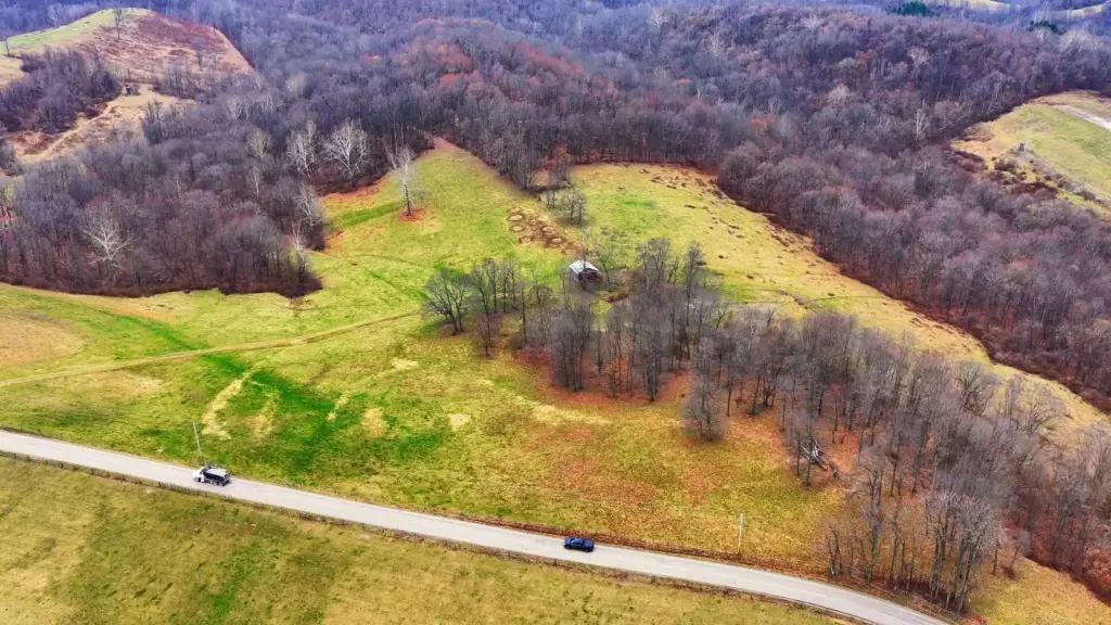
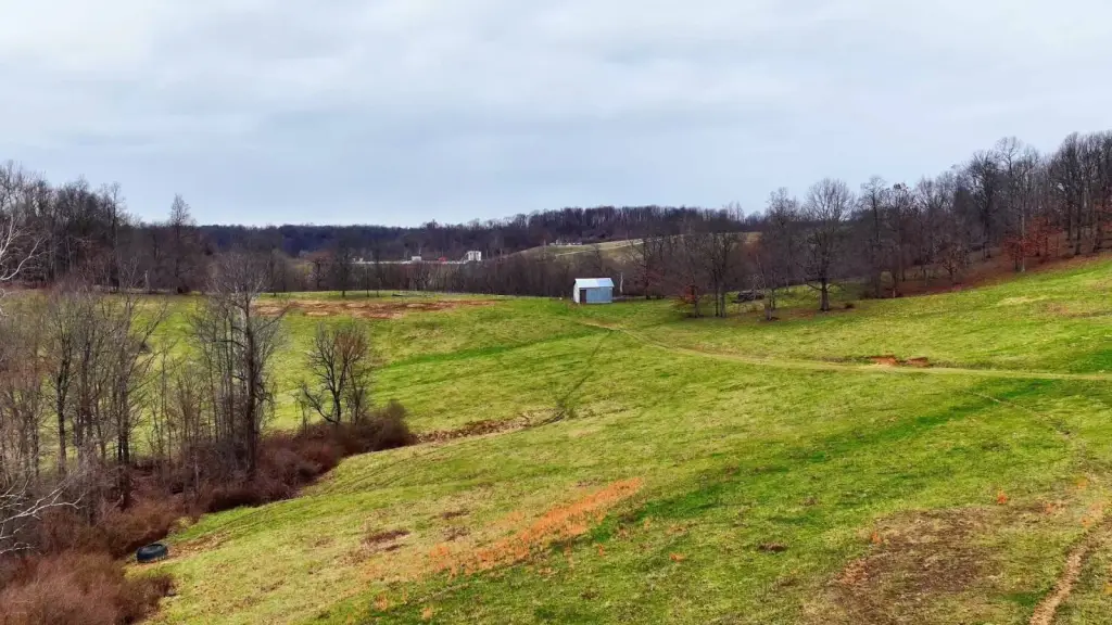
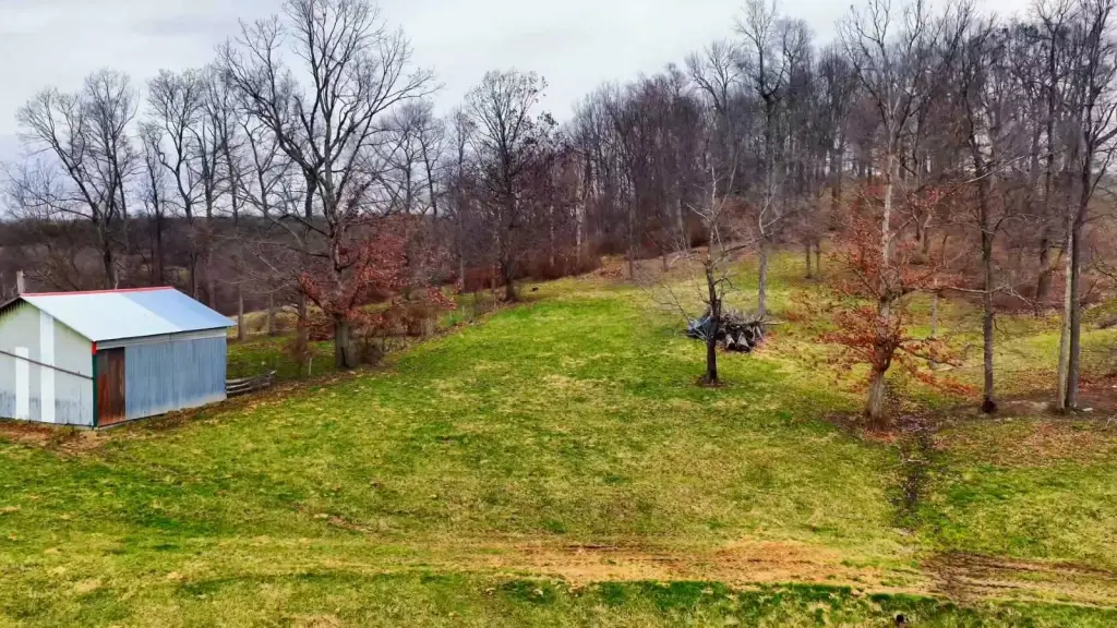
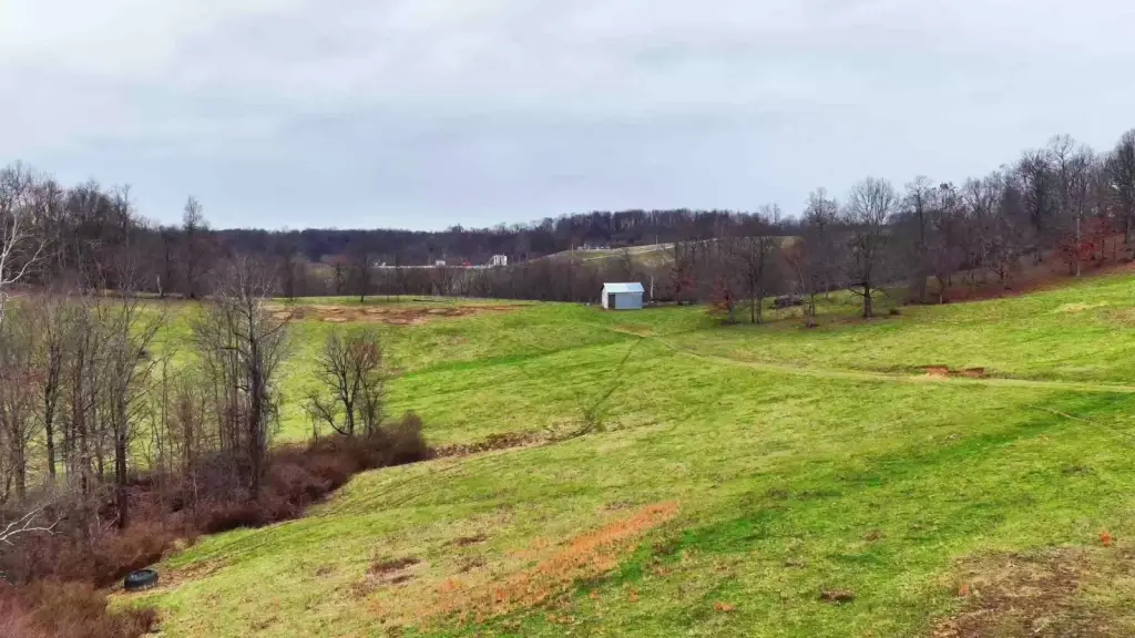
- Mapped road influence: 1,552 ft; one mapped structure footprint plus an additional existing barn for storage, staging, and phased work
- Terrain relief of about 100 ft, offering useful contour for hunting and recreation
- Minimal mapped wetlands and floodplain influence: 0.00 ac wetlands and 0.00 ac floodplain
- Dominant land use: agricultural; utilities include electric nearby (public water/gas availability to be verified); private well/septic assumptions apply
- Approx. 30‑mile access to Bethesda (6 mi), St. Clairsville (16 mi), Woodsfield (16 mi), Cambridge (22 mi), Moundsville (23 mi), and Wheeling (25 mi)
Overview
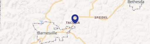
The parcel is located in Somerset Township within Belmont County and served by the Barnesville Exempted Village School District. Mapped road influence is approximately 1,552 feet, and the mapped stream or drainage area is listed as 0 feet. Electric is noted as nearby, while public water and gas availability is described as needing verification; private well and septic are stated as assumptions unless utility confirmations are provided. The listing references an address area of Johnson Rdg, Barnesville, OH 43713 (coordinates 39.920072, -81.210004).
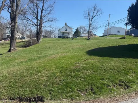
For buyers seeking a working tract rather than an undeveloped parcel, the existing barn and the property’s configuration support immediate operational use alongside longer-term planning. The relatively limited mapped wetland and floodplain influence may help keep planning considerations straightforward for trails, food-plot concepts, or a future build area. Showings are strictly by appointment only, and a licensed agent must be present for all tours.
Current Use by Public Records
Map
- City
- Barnesville
- County
- Belmont
- State
- Ohio
- Longitude
- -81.193078
- Latitude
- 39.881862