Bonaire Dr, St Robert, MO 65584
- Added:
- Mar 31, 2026
- Days on Market:
- 96
- Last Refresh:
- Jul 4 at 5:06 am
Property Features for Bonaire Dr
General Information
- Property type
- Land
- Property subtype
- Other
- Zoning
- Agricultural
- Standard status
- Active
- APN
- 10-8.0-27-000-004-011.002
- Lot size
- 17.65 Acres
Taxes and HOA fees
- Tax Year
- 2025
- Tax Description
- LOT A WOODRIDGE DEVELOPMENT PLAT 2
- Tax Annual Amount
- 26
Listing agent Geoffrey Knoll License #2019042646 (913) 908-8001
Listing office EXP Realty, LLC 3636 S Geyer Rd Ste 100, Overland Park, MO (866) 224-1761
Listing date Mar 31, 2026
Copyright © 2026 Mid America Regional Information Systems, Inc. All rights reserved. All information provided by the listing agent/broker is deemed reliable but is not guaranteed and should be independently verified.
HighLights
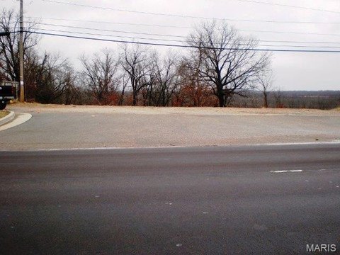
- 16.75‑acre tract within the St. Robert city limits, sold as one tract
- Located at the end of Bonaire Drive with surveyed access extending to Bronco Road
- Acreage layout suited for potential subdivision or multiple building sites (buyer to confirm requirements)
- Utility access may be available; buyer to verify water, sewer, electric, zoning, and development requirements
- Near Fort Leonard Wood and I‑44, with shopping and dining nearby
Overview
Access is a key feature, with the parcel situated at the end of Bonaire Drive and connected via the surveyed access route to Bronco Road. The property is zoned Agricultural. The listing also notes that nearby utility access may be available, and emphasizes that the buyer should verify water, sewer, electric, zoning, and all development requirements prior to proceeding.
For buyers and investors seeking larger acreage in a convenient, established area, this site may fit a range of residential goals, including building a private estate or designing a multi-lot layout. Its location in St. Robert is described as close to Fort Leonard Wood and I-44, as well as local shopping, dining, and amenities, which can be a practical consideration when planning a development timeline. Interested parties should conduct due diligence on utility availability and applicable development requirements.
Current Use by Public Records
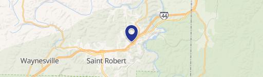
Map
- City
- St Robert
- County
- Pulaski
- State
- Missouri
- Longitude
- -92.1267056
- Latitude
- 37.8212286