B Highway, Sheldon, MO 64784

- Added:
- Apr 23, 2026
- Days on Market:
- 53
- Last Refresh:
- Jun 14 at 4:06 am
Property Features for B Highway
General Information
- Property type
- Land
- Property subtype
- Other
- Zoning
- Ag
- Fencing
- Cross Fenced, Fenced, Barbed Wire
- Standard status
- Pending
- APN
- 21-8.0-34-000-000-003.000
- Lot size
- 73.65 Acres
Taxes and HOA fees
- Tax Annual Amount
- 40
Utilities
- Utilities
- Electricity Available
Listing agent Ginger Nance License #2023028538 (620) 224-6173
Listing office Stutesman's Action Realty PO Box 534, Nevada, MO (417) 667-8400
Listing date Apr 23, 2026
Copyright © 2026 Ozark Gateway Association of Realtors. All rights reserved. All information provided by the listing agent/broker is deemed reliable but is not guaranteed and should be independently verified.
HighLights
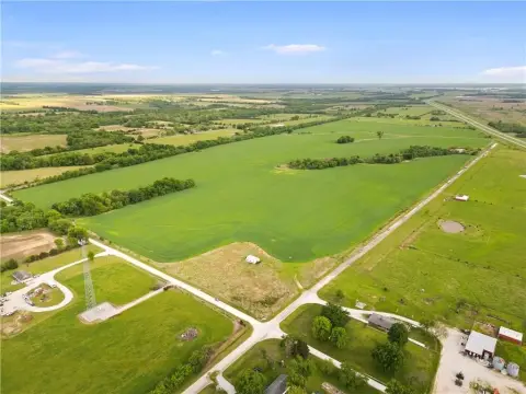
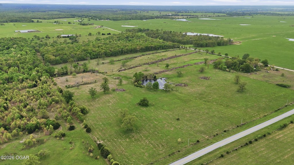
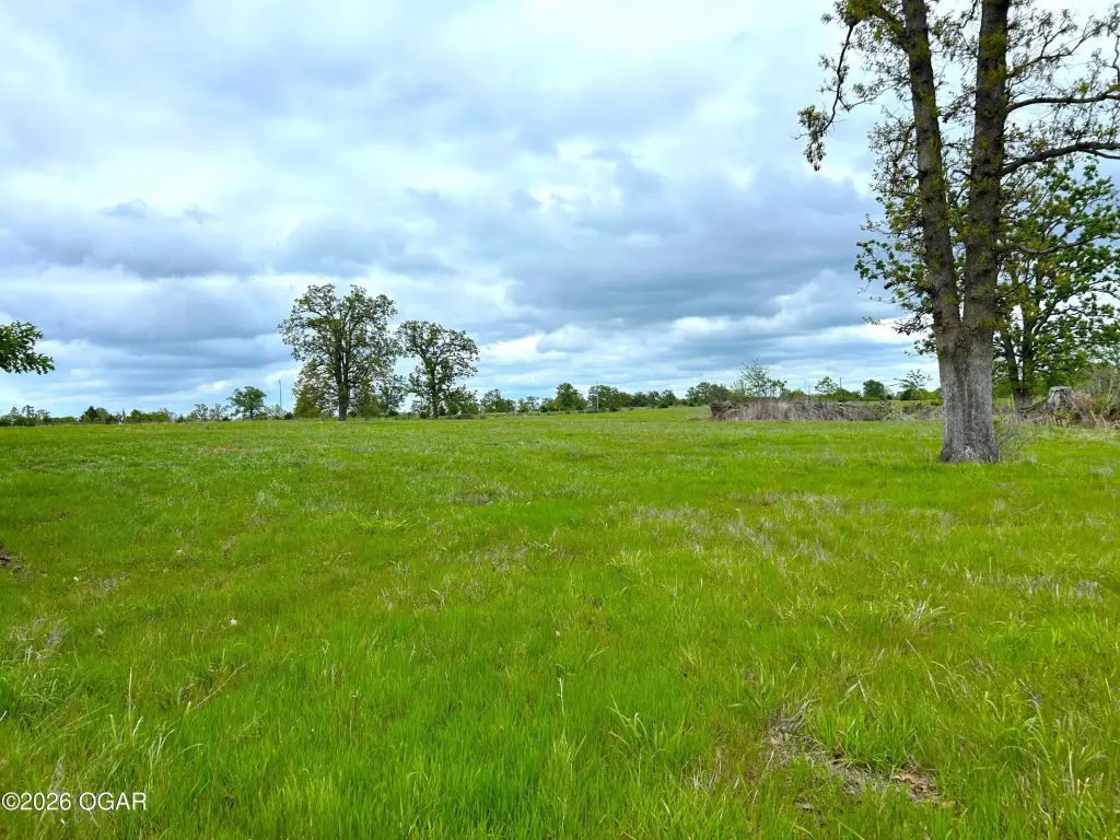
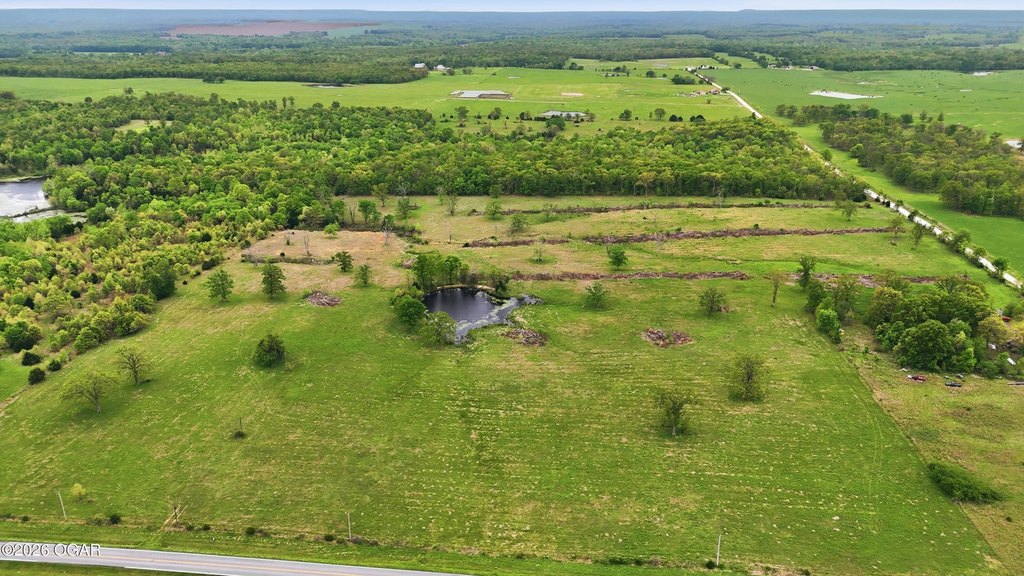
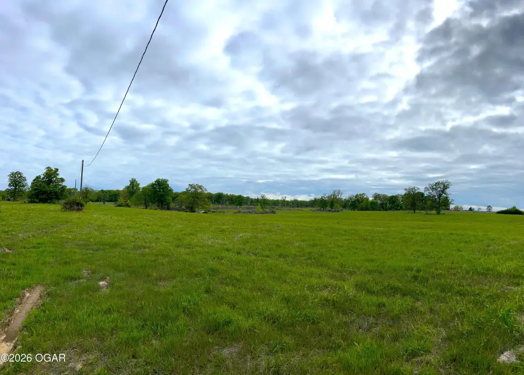
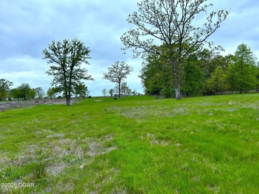
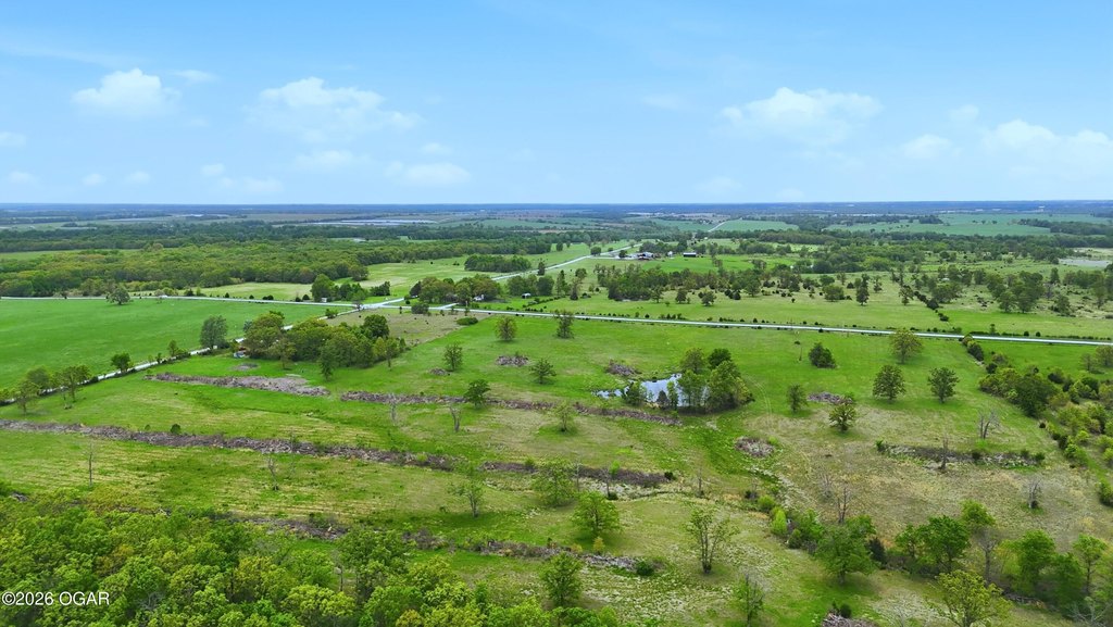
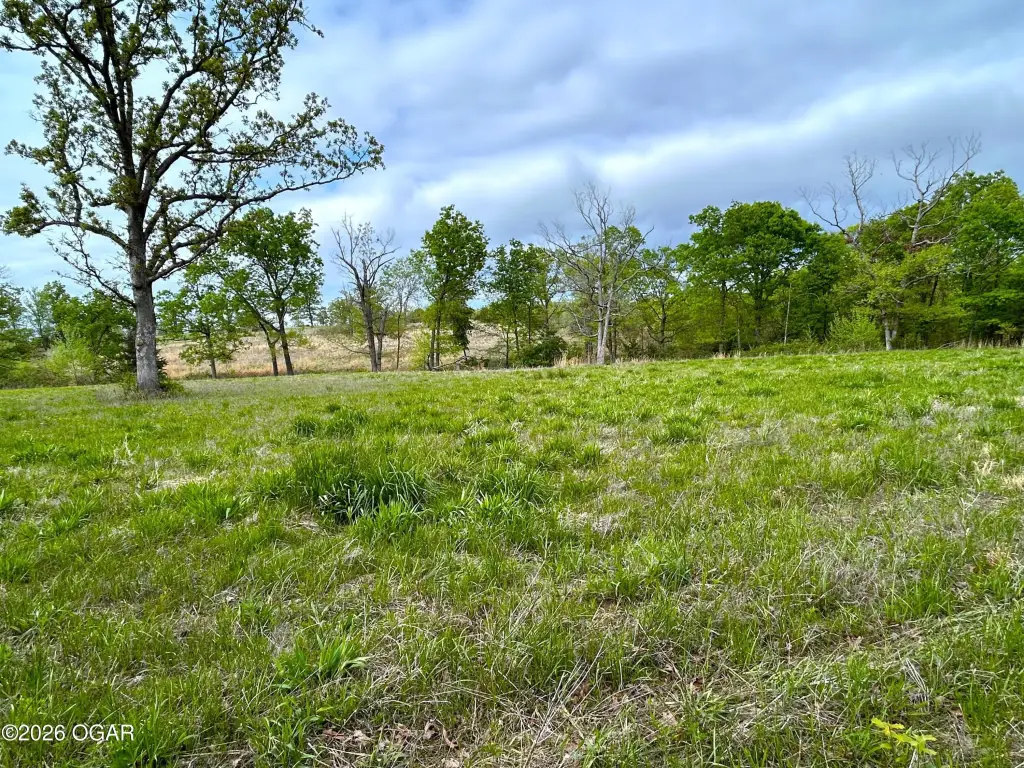
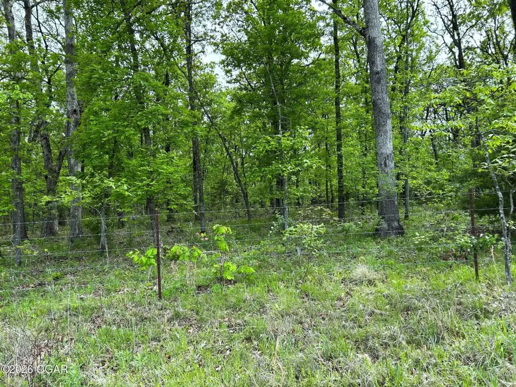
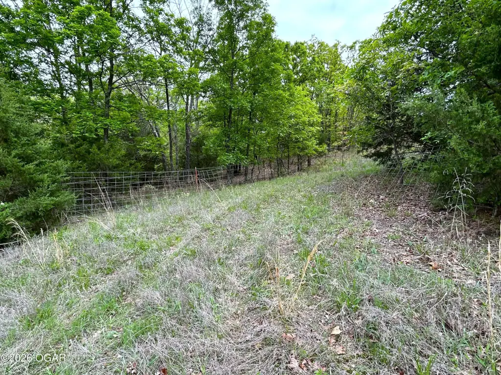
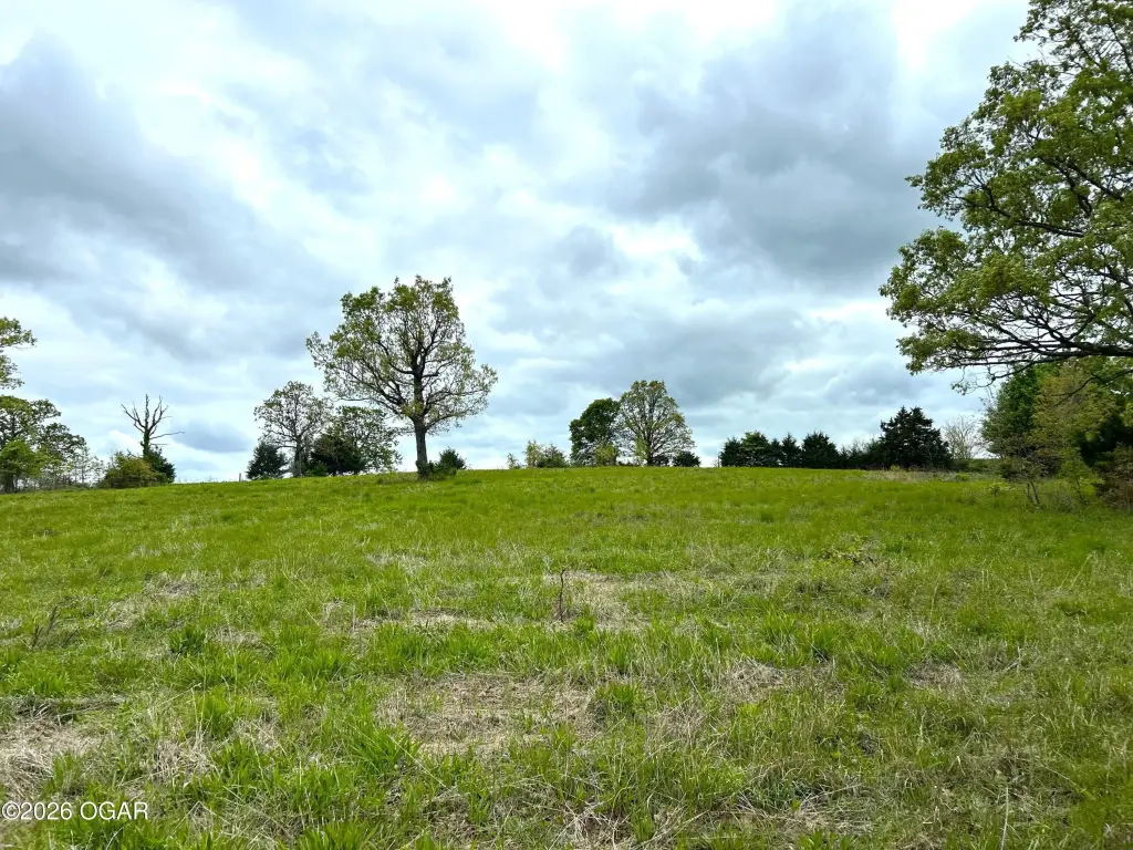
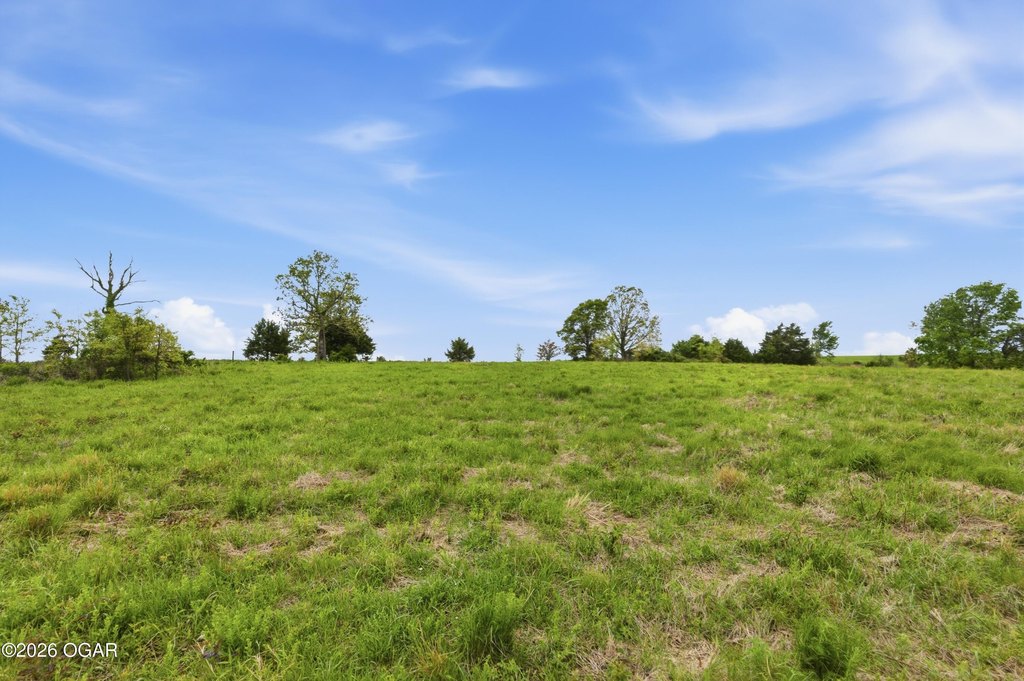
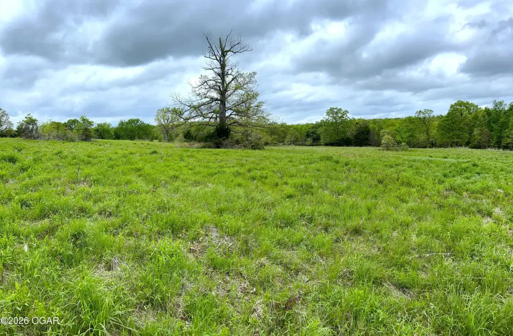
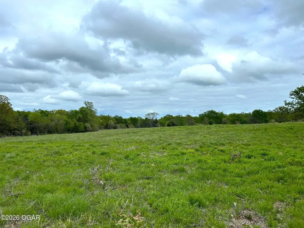
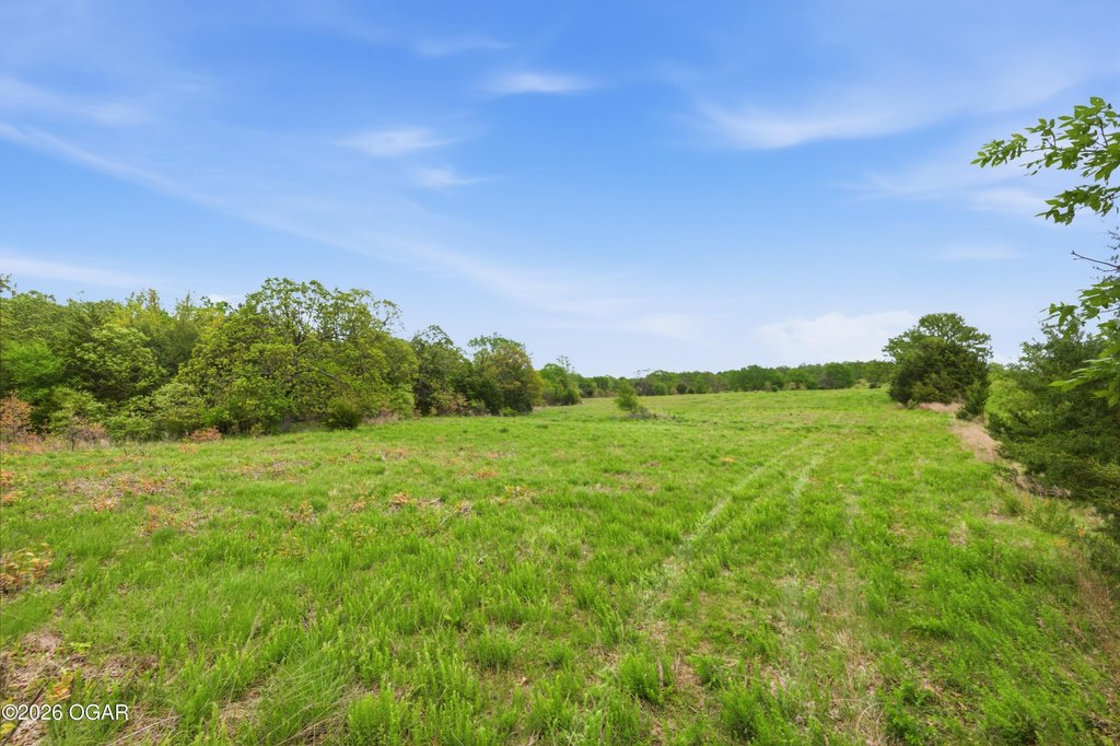
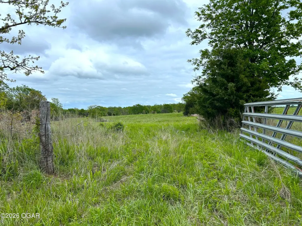
- 73.65 acres of mixed‑use land, fenced and cross‑fenced for cattle and horses
- Electricity available, with electric running across the east end of the property
- Rural water line laid along the highway frontage on B Hwy for easier utility setup
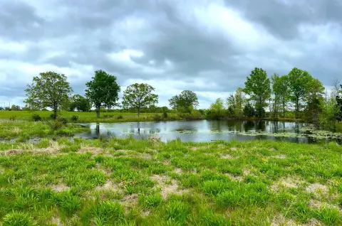
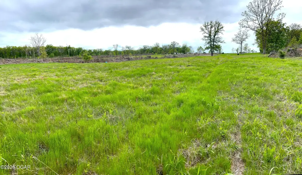
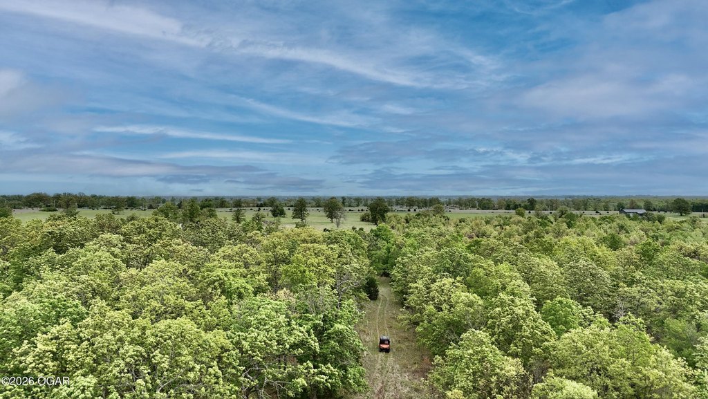
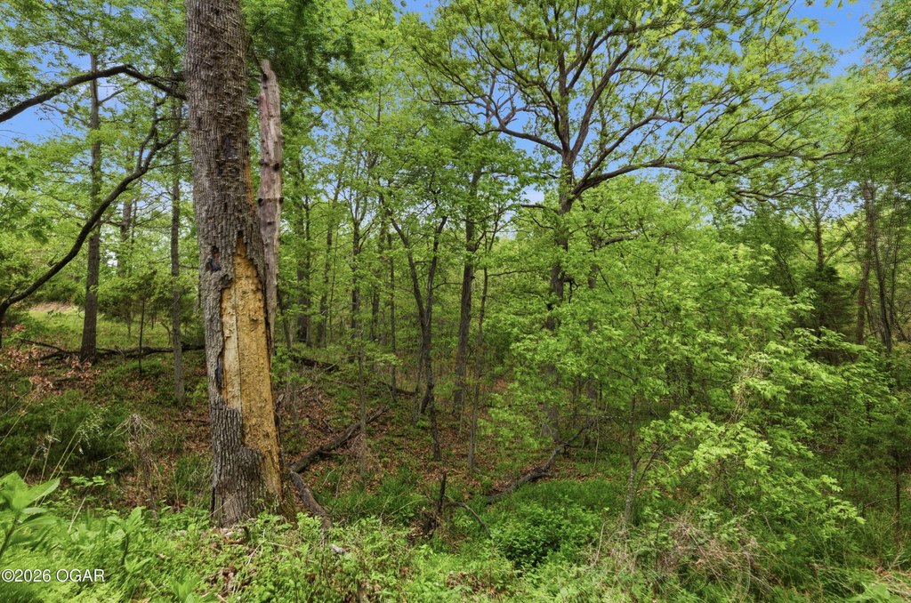
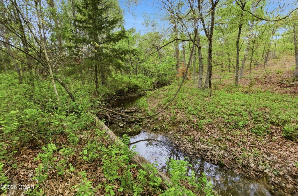
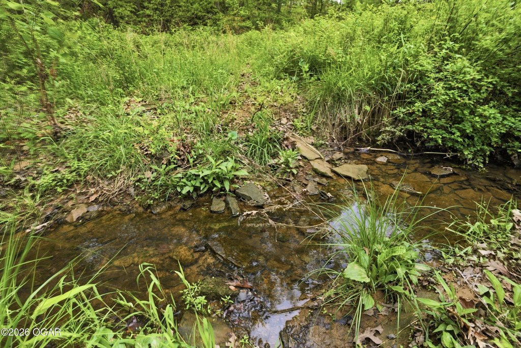
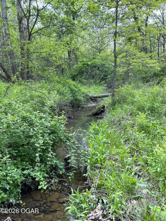
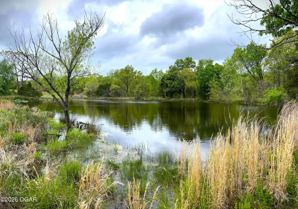
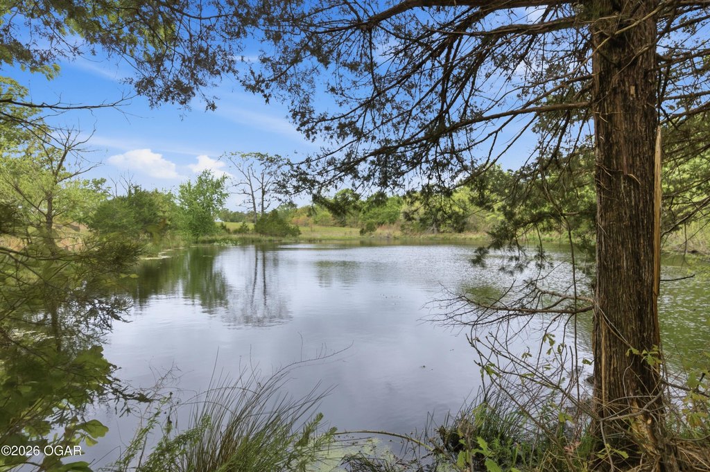
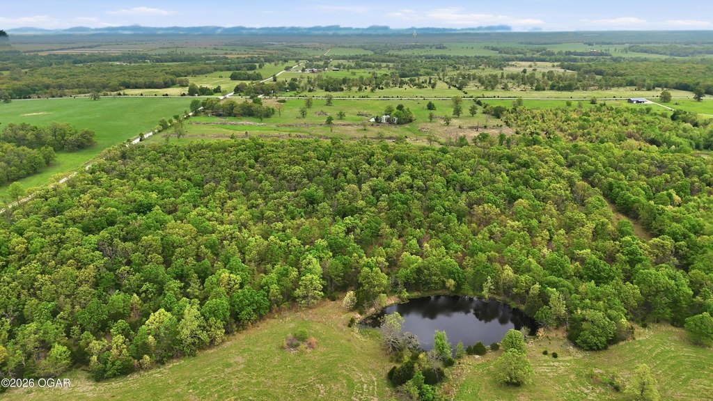
- Two open fields with pond(s) for grazing, separated by a wooded section running east to west
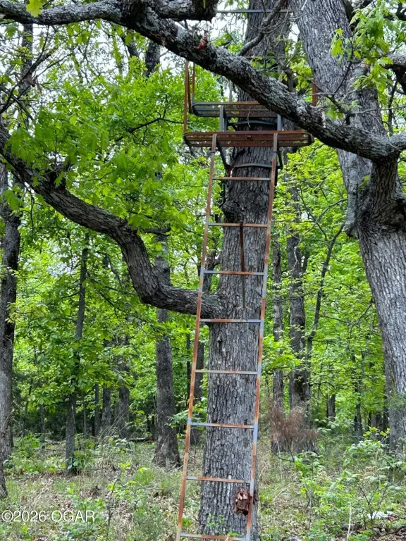
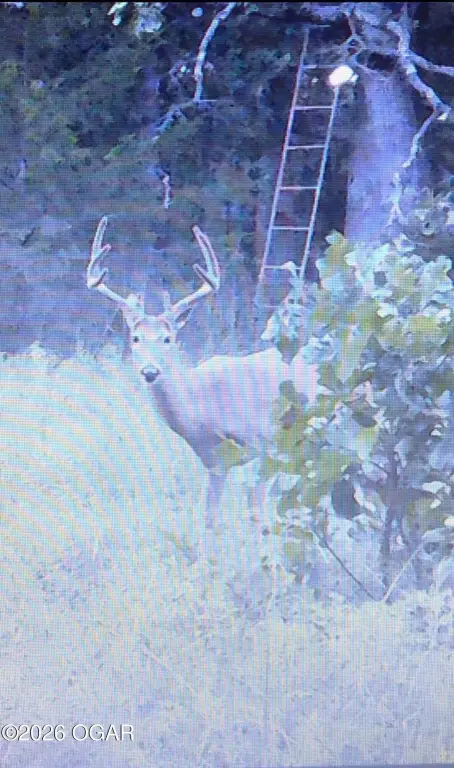
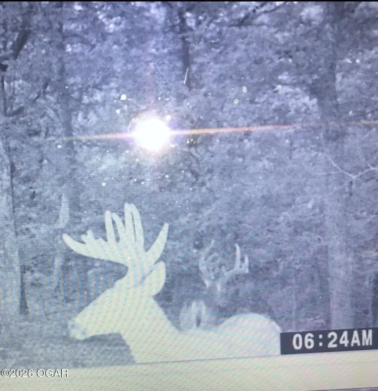
- Wooded area includes a creek that rarely goes dry and supports wildlife including deer and turkey
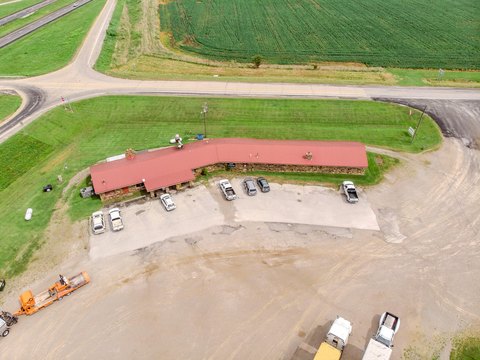
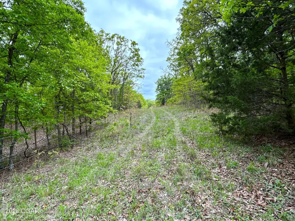
- Multiple access/loading options: entry from B Hwy plus two entries on the west side along 2925 Road
Overview
Access is available off B Highway, with additional entry points on the west side along 2925 Road. The seller notes three different options for entering the property for loading livestock, rotation, and convenience. Recent cattle use is described, and there is also sloping terrain in the wooded area that can support perimeter riding or new trails.
For buyers looking for a flexible Ag-zoned parcel, this offering combines workable pasture with water features and a wooded area for recreation and hunting. The highway frontage utility run and multiple livestock entries may help streamline future planning for a home site or continued agricultural use, while the fenced layout supports managing grazing and animals in separate sections.
Current Use by Public Records
Map
- City
- Sheldon
- County
- Vernon
- State
- Missouri
- Longitude
- -94.128497
- Latitude
- 37.65666