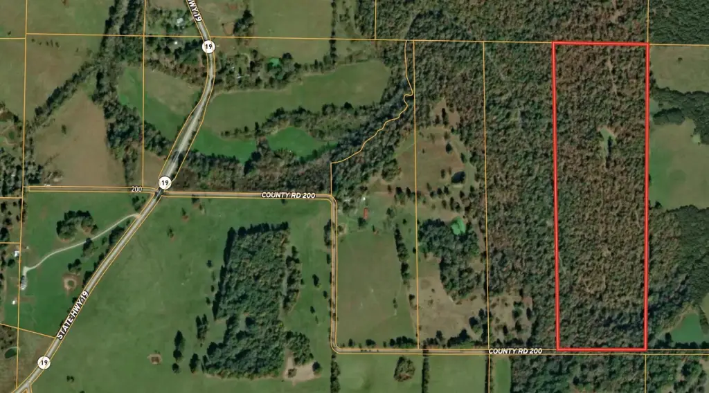
County Road 200, Alton, MO 65606
- Added:
- Jun 3, 2026
- Days on Market:
- 2
- Last Refresh:
- Jun 4 at 4:06 pm
Property Features for County Road 200
General Information
- Property type
- Land
- Property subtype
- Other
- Standard status
- Active
- APN
- 17-4.0-19-0-000-0001.02000
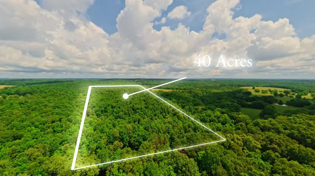
- Lot size
- 40.00 Acres
Taxes and HOA fees
- Tax Year
- 2025
- Tax Annual Amount
- 14

Listing agent Sandra Ross License #2000157106 (417) 270-0854
Listing office United Country-Cozort Realty, Inc. N. Jct Hwys 63 & Bus. 63, Thayer, MO (417) 264-7288
Listing date Jun 3, 2026
Copyright © 2026 Southern Missouri Regional MLS, LLC (SOMO). All rights reserved. All information provided by the listing agent/broker is deemed reliable but is not guaranteed and should be independently verified.
HighLights
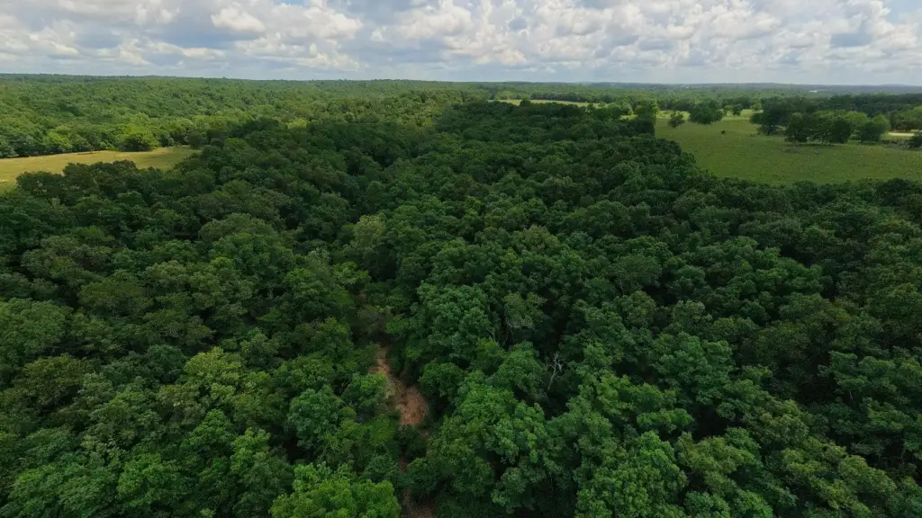
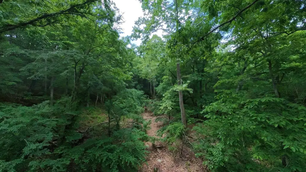
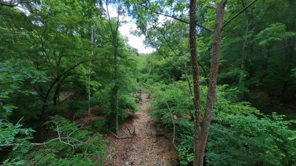
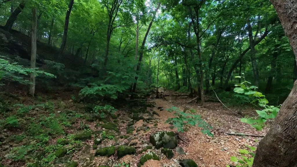
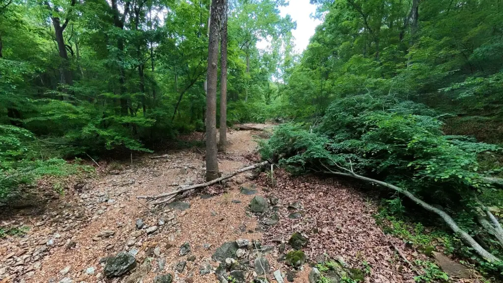
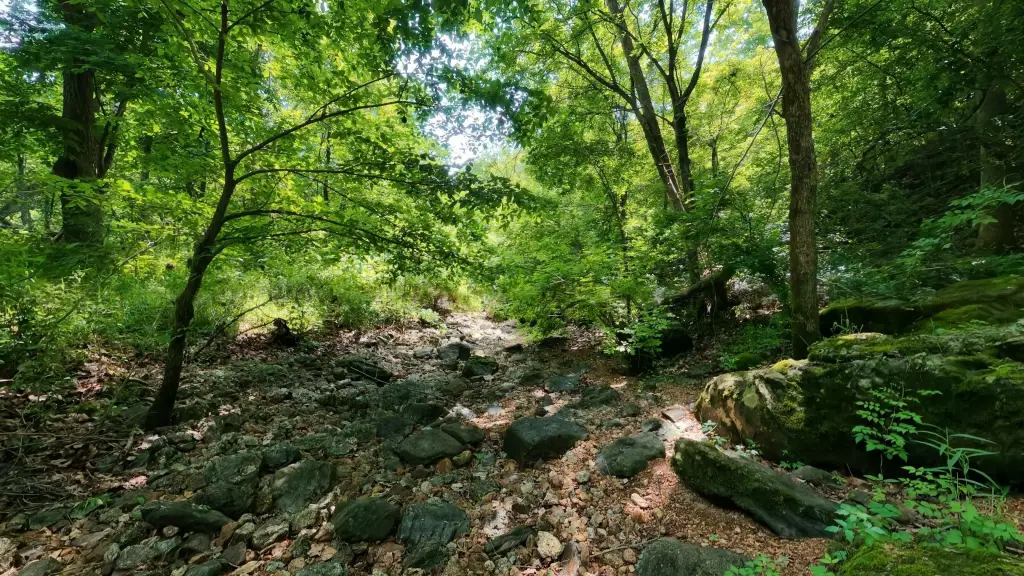
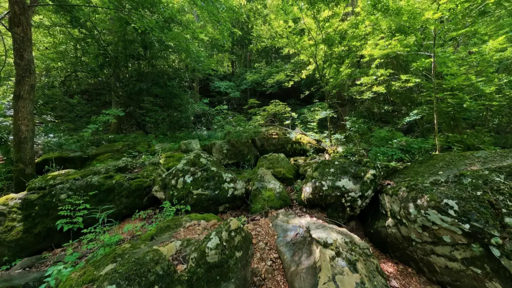
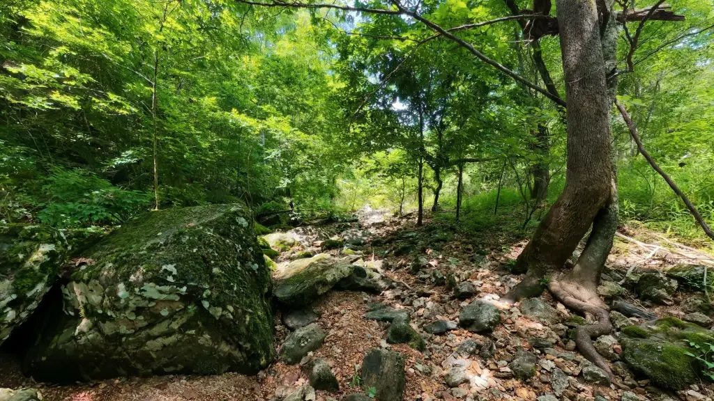
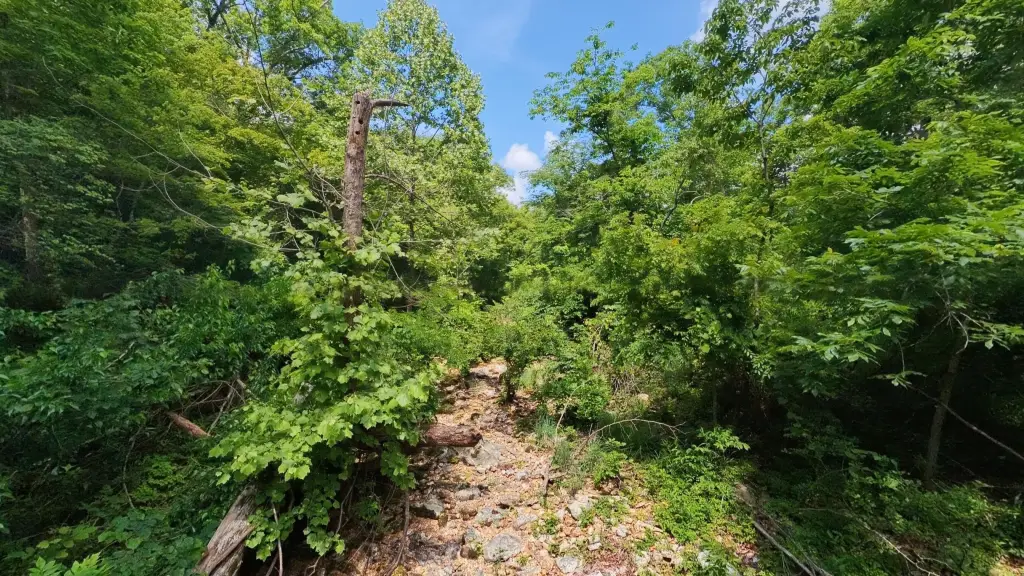
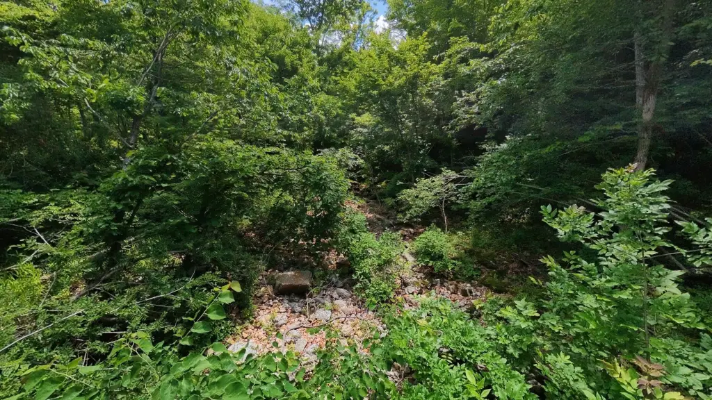
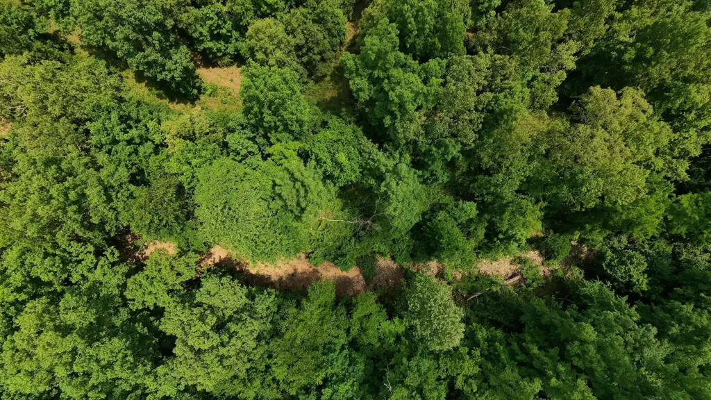
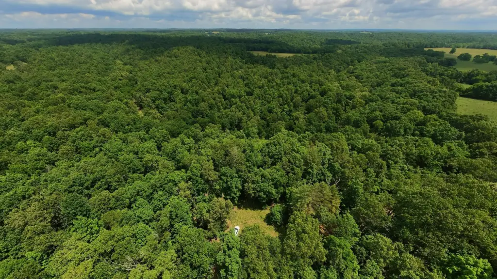
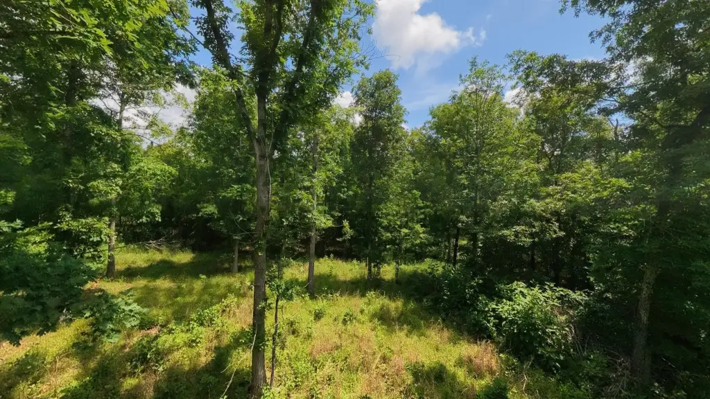
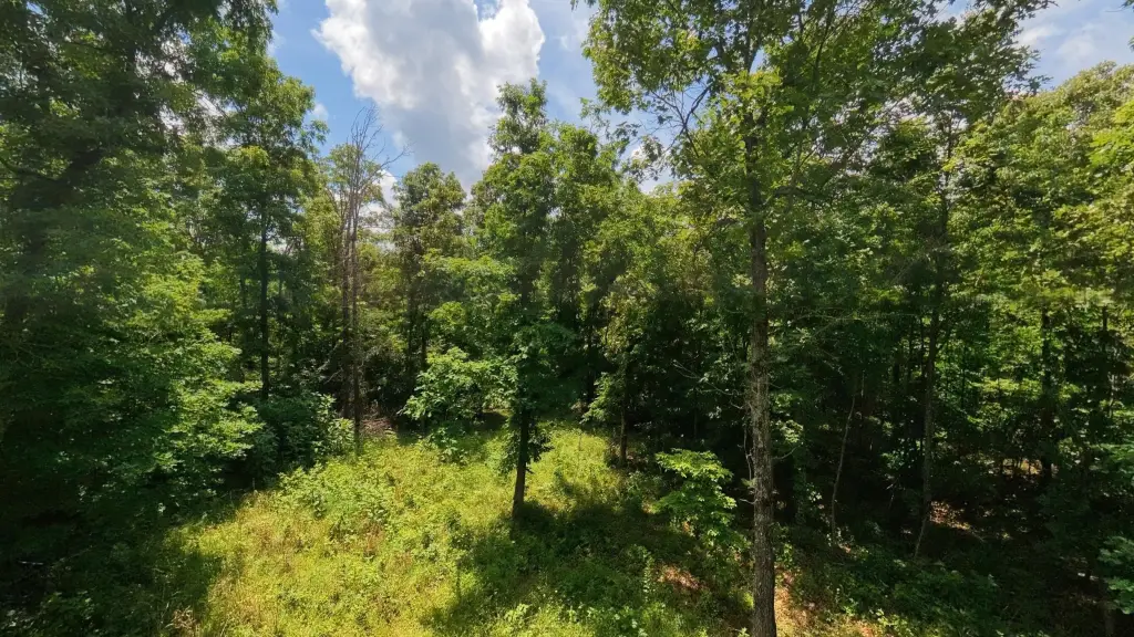
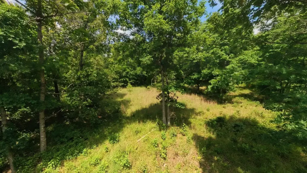
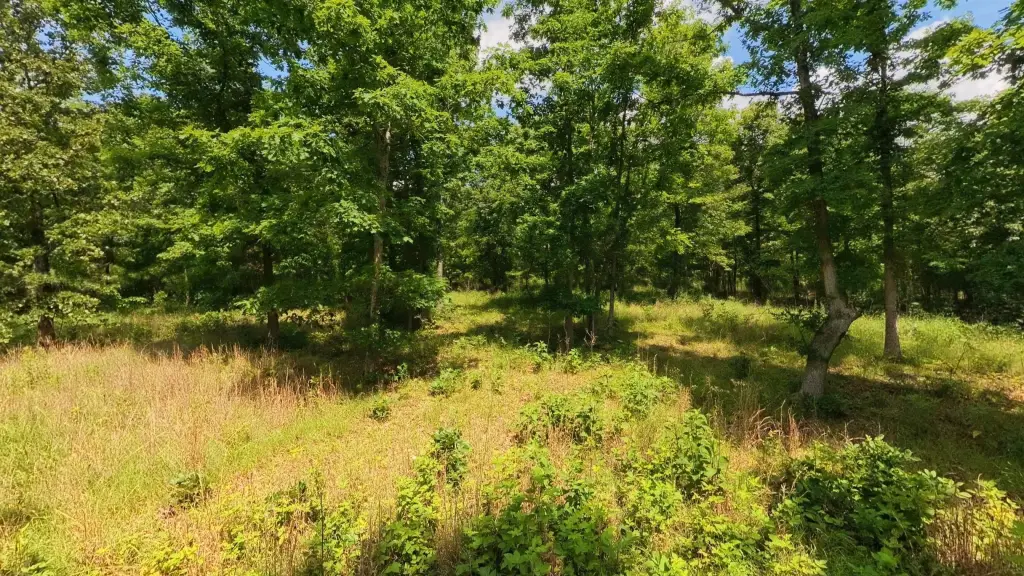
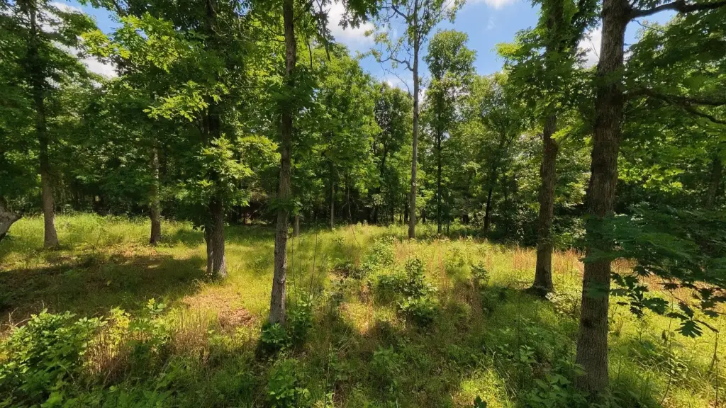
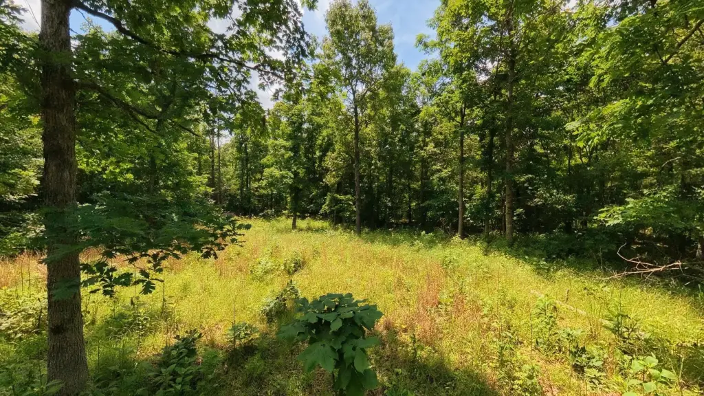
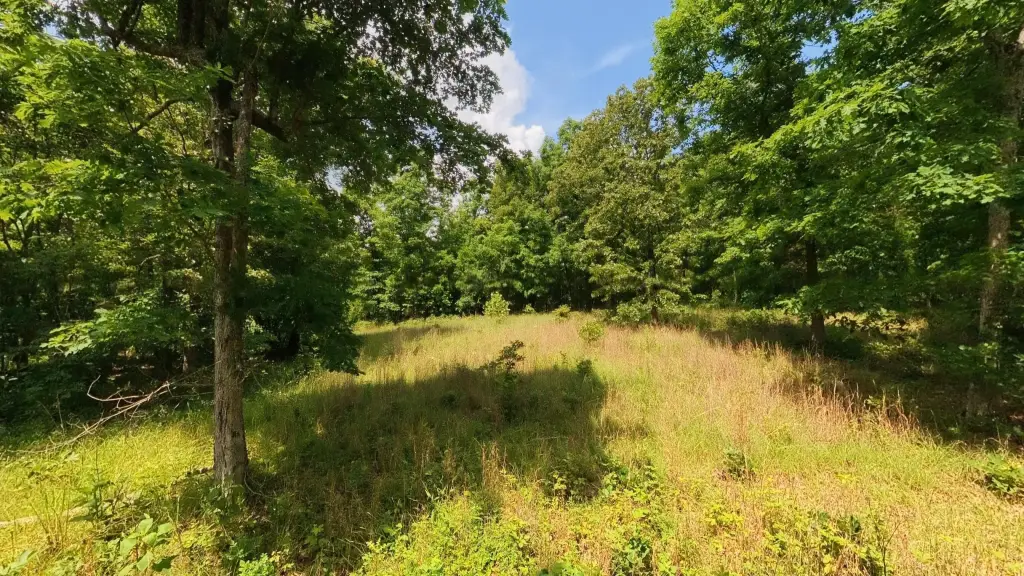
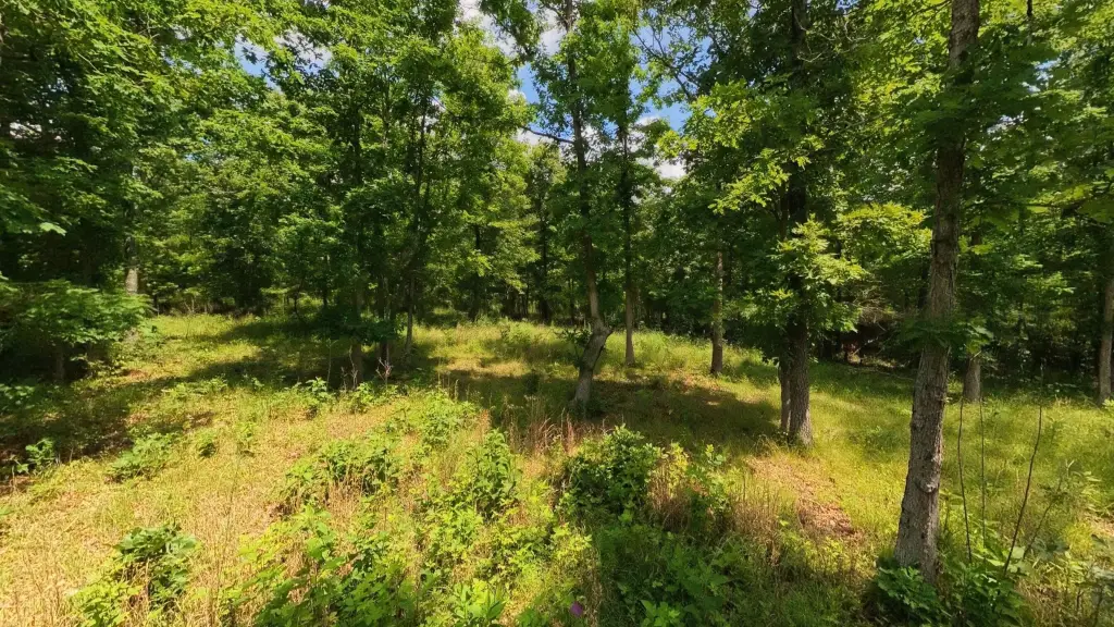
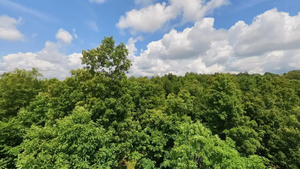
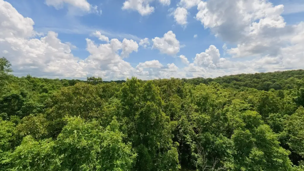
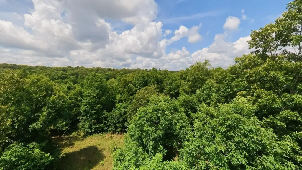
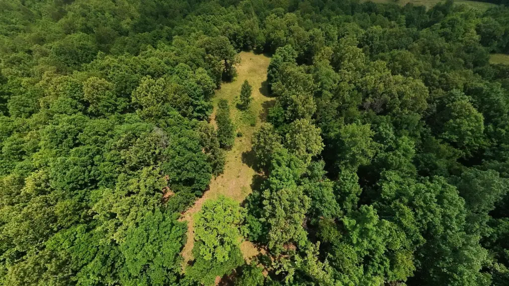
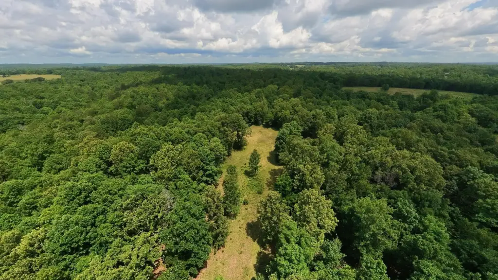
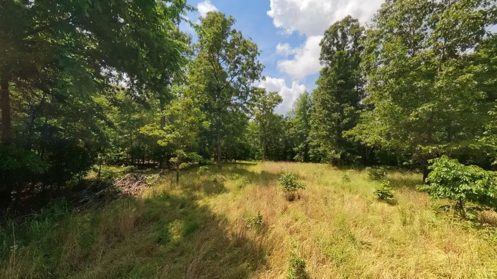
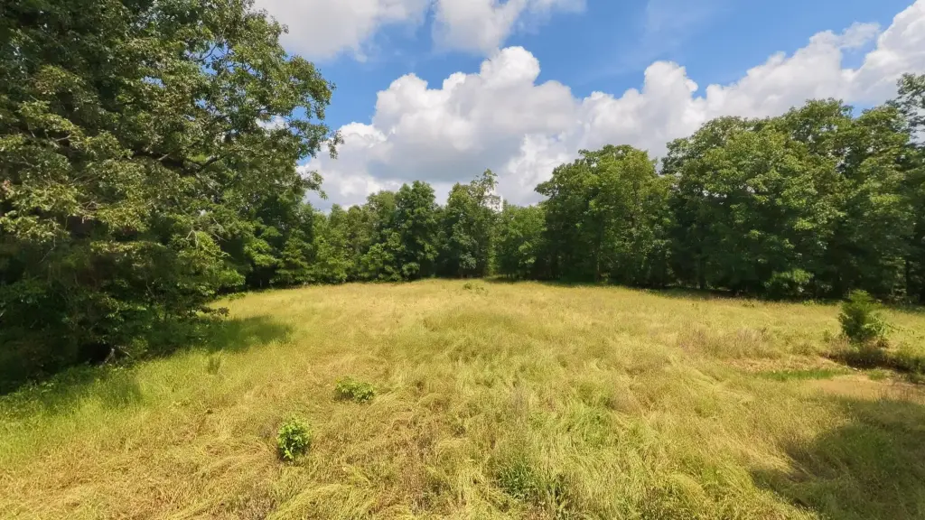
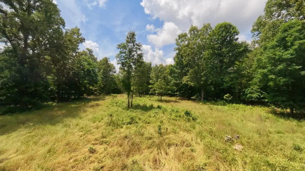
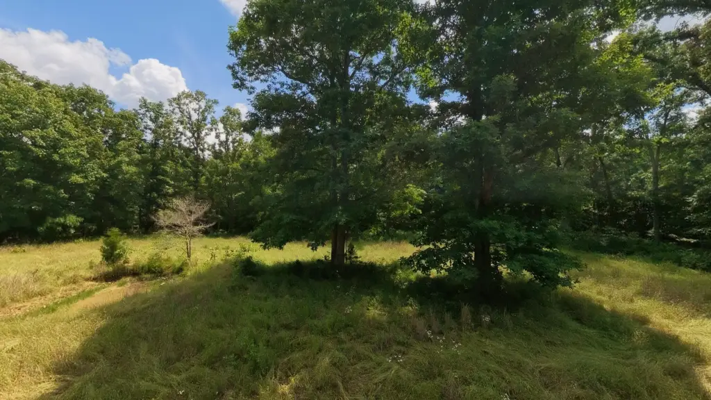
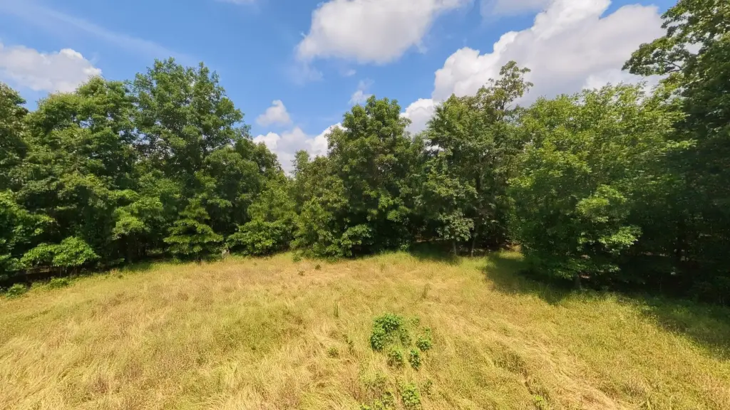
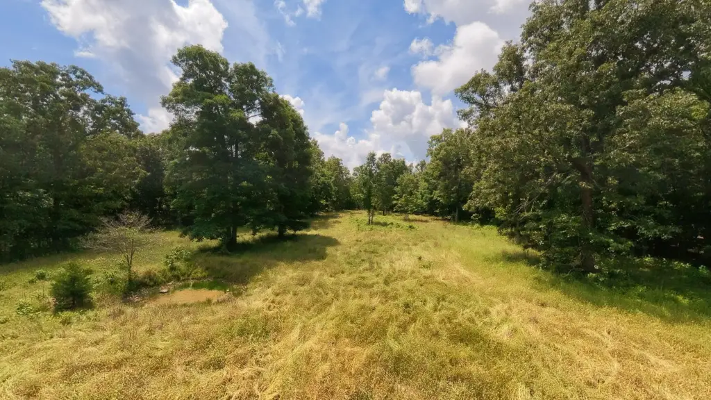
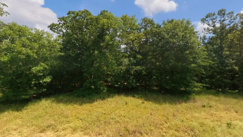
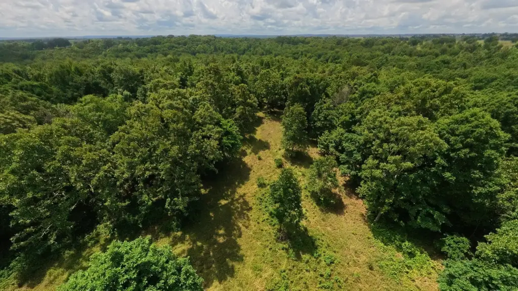
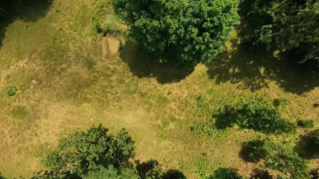
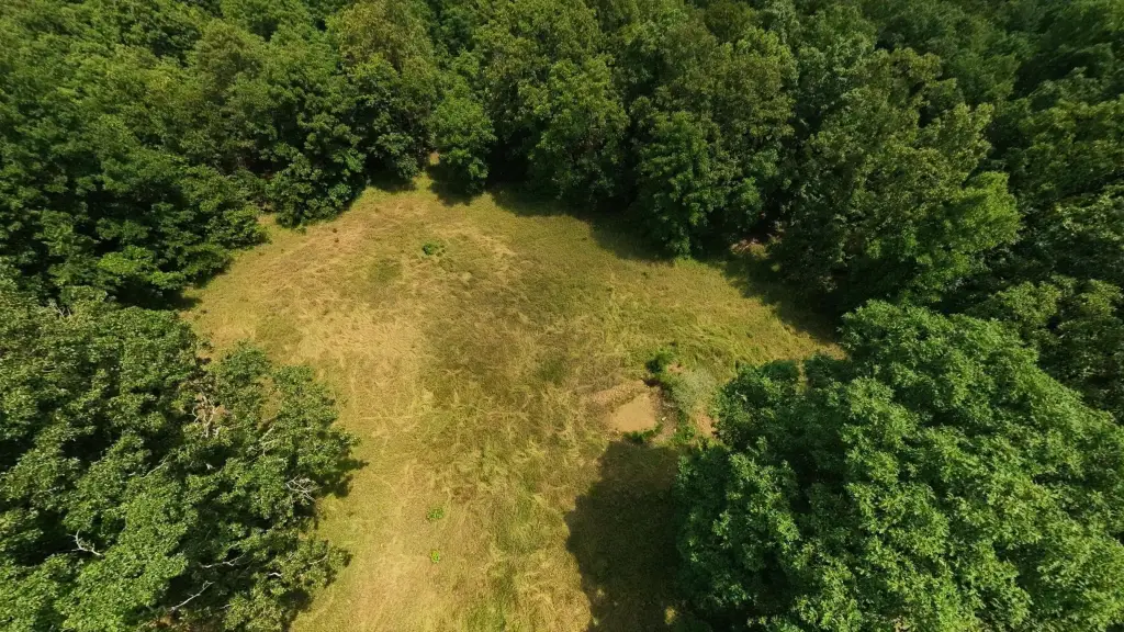
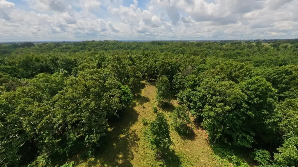
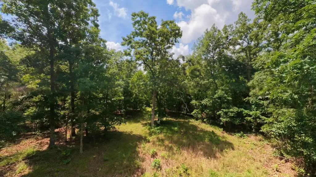
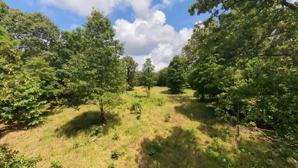
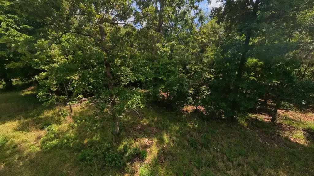
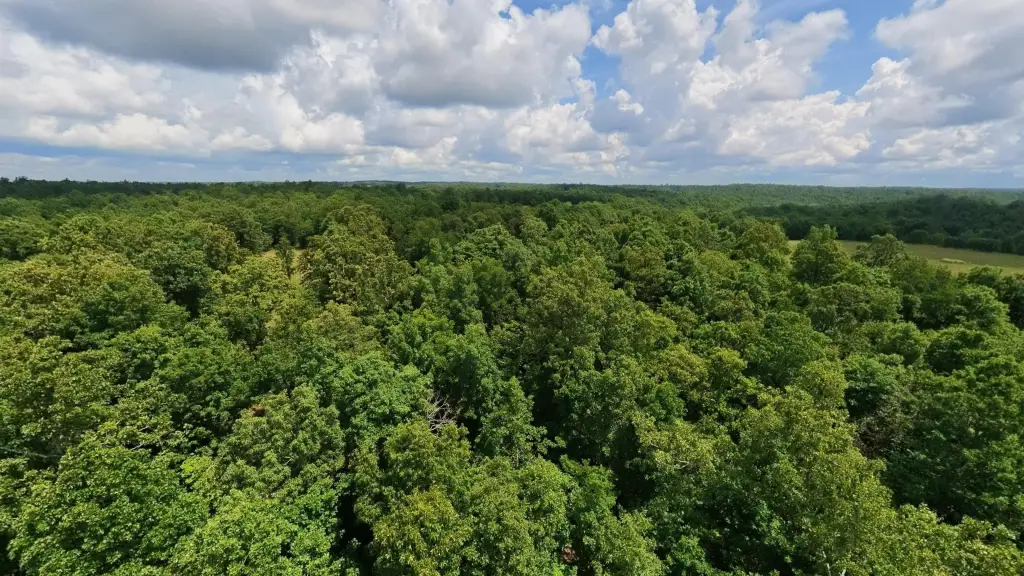
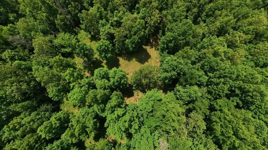
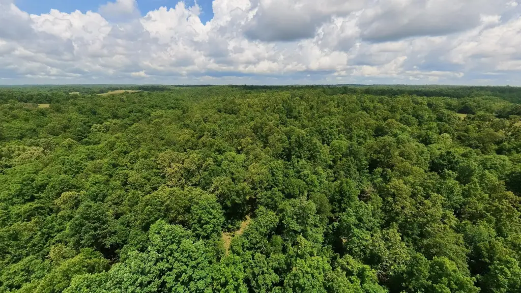
- 40‑acre mostly wooded recreational tract in Oregon County, Missouri, near Mark Twain National Forest
- Rolling to hilly terrain with cover and travel corridors for deer and turkey
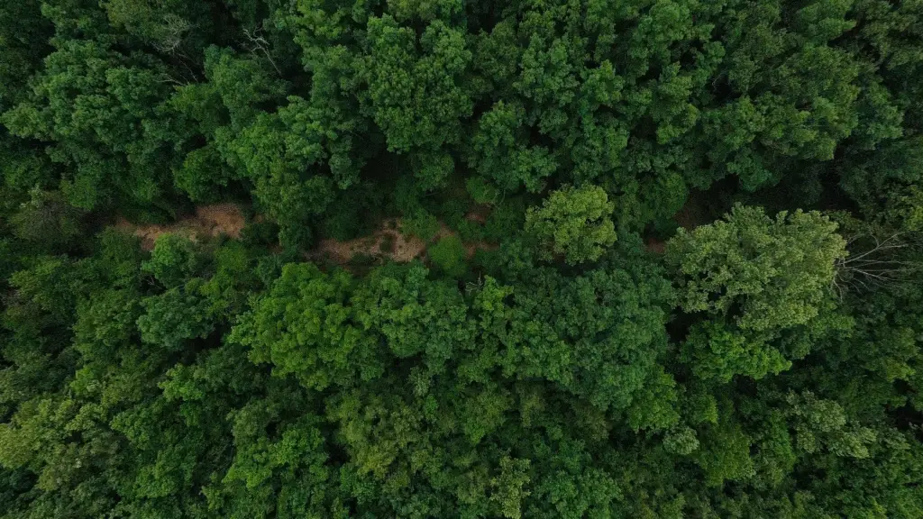
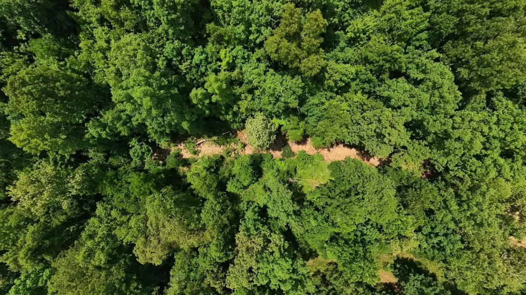
- Fredrick Creek (wet‑weather creek) runs through the property
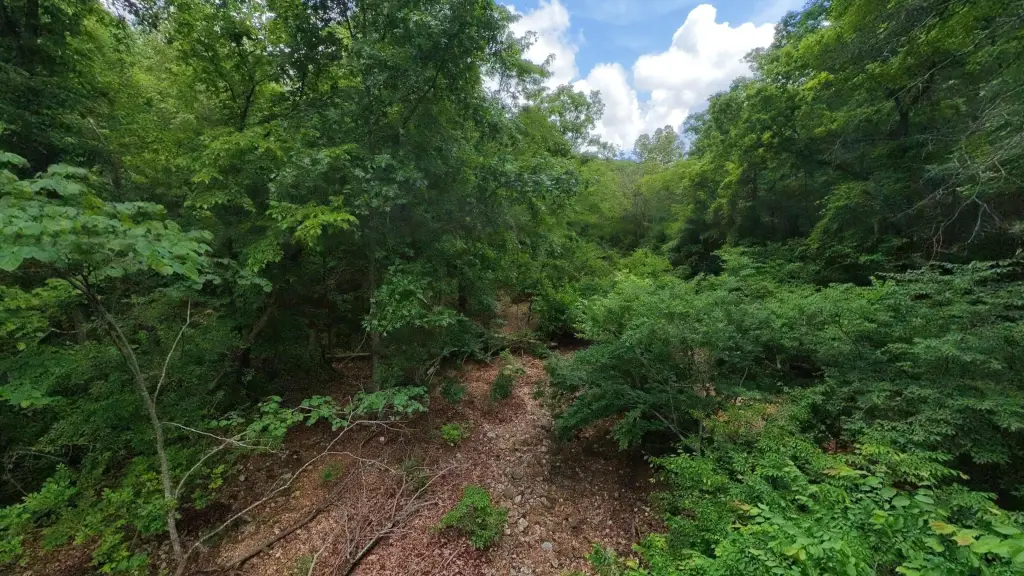
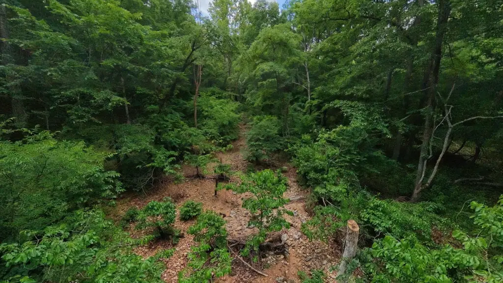
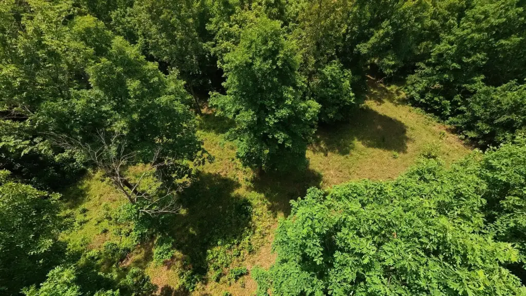
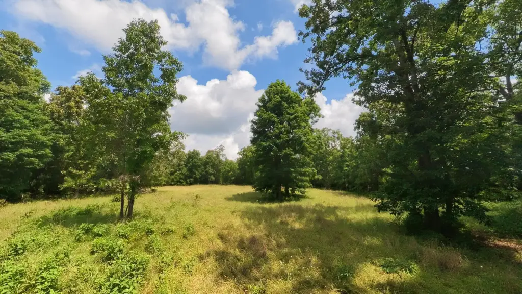
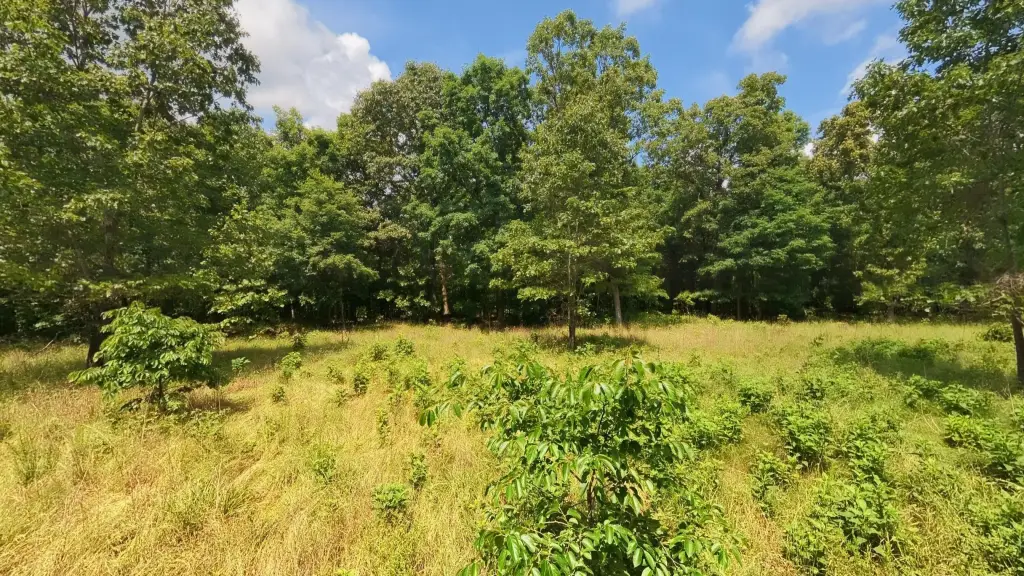
- Semi‑cleared near‑road area suitable for a hunting camp, RV parking, or basecamp setup
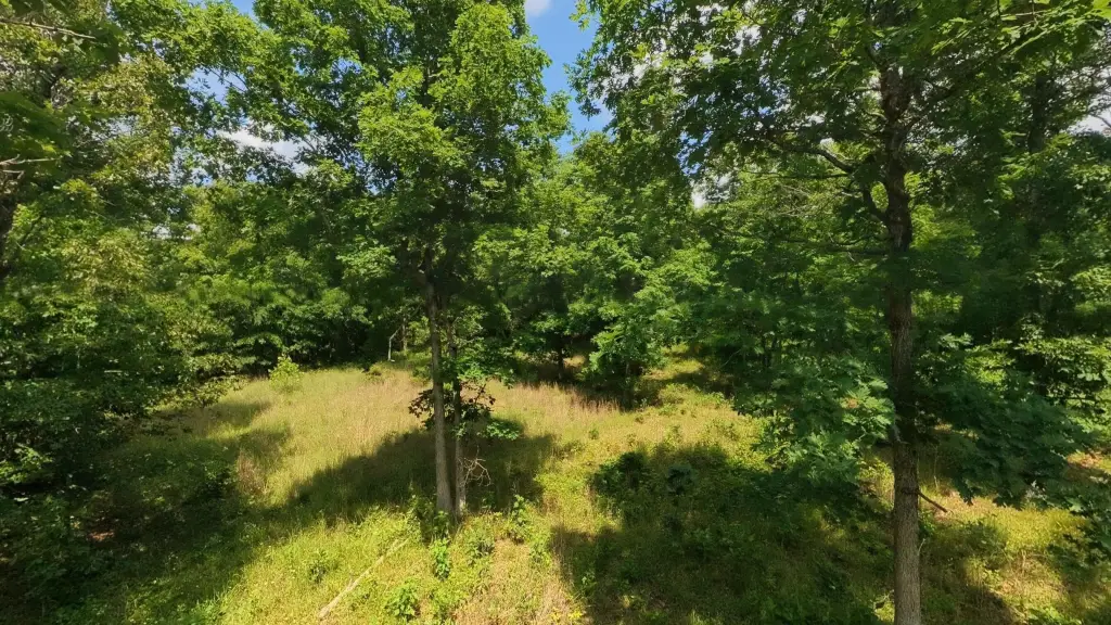
- Established food plot in place to attract and hold wildlife during hunting season
- Partial fencing and electricity nearby, plus existing trails for access by side‑by‑side in some areas
Overview
The tract is located near Mark Twain National Forest in the Missouri Ozarks and is approximately 6 miles from Alton. County road access is described, supporting practical arrival and use for weekend trips and seasonal recreation. The proximity to extensive surrounding public land and trail opportunities is part of the property’s appeal for hunting and other outdoor activities.
For buyers looking for a private Ozarks hunting retreat or long-term recreational land, this property offers ready-to-use elements such as trails, a food plot, and a semi-cleared area, along with wooded cover and seasonal creek flow. The existing partial fencing and nearby electricity may also help reduce planning for future camping or land-improvement decisions, subject to any required permitting and site planning.
Current Use by Public Records
Map
- City
- Alton
- County
- Oregon
- State
- Missouri
- Longitude
- -91.440399
- Latitude
- 36.640827