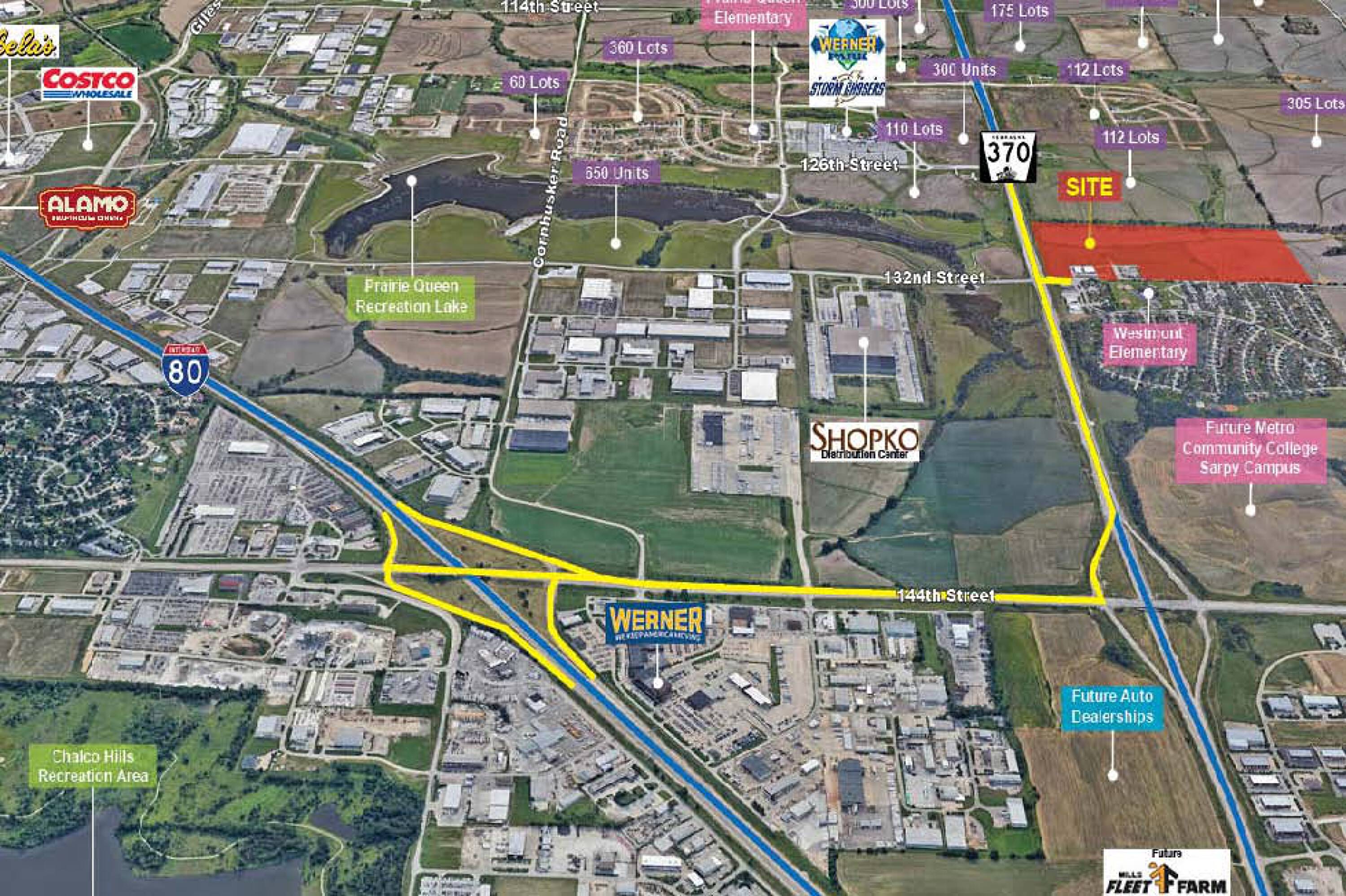
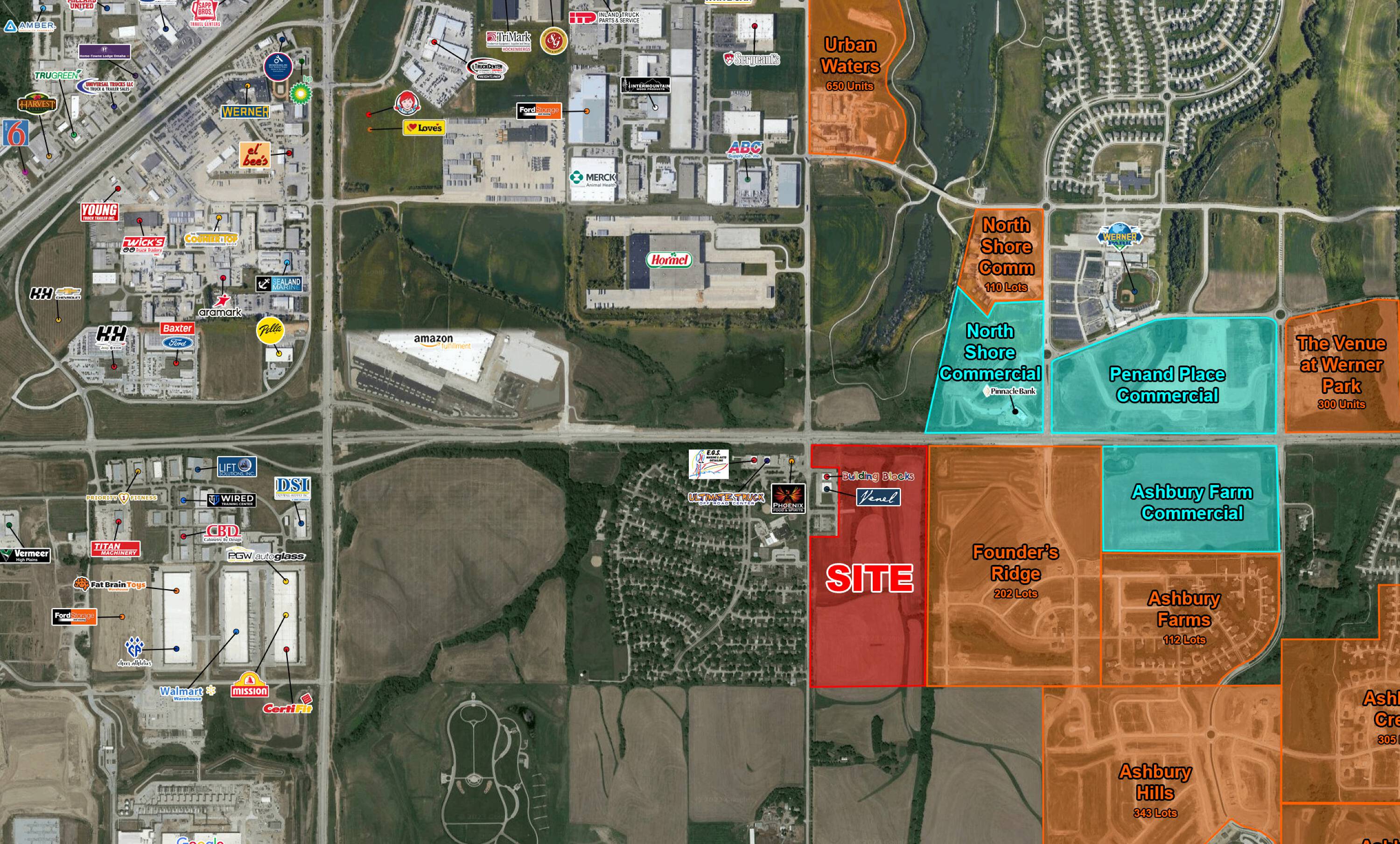
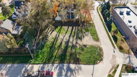
S 132nd & Hwy 370 Omaha, NE 68138
Land available for sale at S 132nd & Hwy 370.
Type:Land
- Added:
- Aug 5, 2019
- Days on Market:
- 2460
- Last Refresh:
- Mar 17 at 1:13 pm
Property Features for S 132nd & Hwy 370
General Information
- Standard status
- Active
- Property subtype
- Land
Listing agent Brian Houlihan License #NE 20170289
Listing office The Lerner Company
Listing date Aug 5, 2019
Source Crexi
Displayed information is deemed reliable but is not guaranteed and should be independently verified.
All listing content including descriptions, pricing, images are the copyrighted material of The Lerner Company
Overview
Land Available For Sale
Land is available for sale at S 132nd & Hwy 370, Omaha, NE 68138.
Location Intelligence
Current Use by Public Records
Land
Location Insight
- Map
- Local Demand
- City
- Omaha
- County
- Sarpy
- State
- Nebraska
- Longitude
- -95.996127
- Latitude
- 41.142727
Nearby Similar for Sale


FAQs
What type of property is this?
Land - Land available for sale at S 132nd & Hwy 370.
Where is this land located?
The property is located at S 132nd & Hwy 370 Omaha, NE.
What are key features of this property?
This property features: Available for Sale