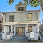
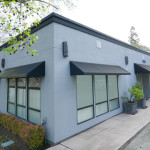
2827 F St Sacramento, CA 95816-3717
- Commercial land
- 1,372 SF
- 0.30 lot acres
Current Use by Public Records
- Commercial land
Property Details for 2827 F St
- Year built
- 1965
- Lot size
- 0.30 lot acres
- Property size
- 1,372 SF
- Zone code
- C-2-SPD
- Property type
- Commercial land
- APN
- 003-0154-025-0000
- APU
- 301540250000
Description
This exceptional ±0.31-acre (13,639 square foot) commercial parcel is ideally situated at the high-traffic corner of F Street and 29th Street in Sacramento, CA (APN: 003-0154-025). Zoned C-2, this property offers significant development potential. Its prime location benefits from excellent visibility and accessibility, near the Interstate 80/29th Street off-ramp. The area boasts a strong daytime workforce and dense residential population, providing a robust customer base. Nearby amenities include the American River Parkway, McKinley Park, Sutter's Fort, California State Indian Museum, Sutter General Hospital, Mercy General Hospital, several schools, and the Cannery Business Park. The site's previous use as a gas station, coupled with a clean environmental report, simplifies the development process. This location offers unparalleled access to the State Capitol and benefits from the high volume of traffic exiting Interstate 80. Available for lease or ground lease, this property presents a unique opportunity for a variety of commercial ventures. The property's address is 2827 F Street, Sacramento, CA 95816.
Value Estimations
-
AI approach
-
CAP approach
-
Comparable approach
-
Alternative Use
Get a detailed, property-specific valuation — fast and free
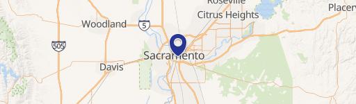
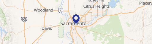
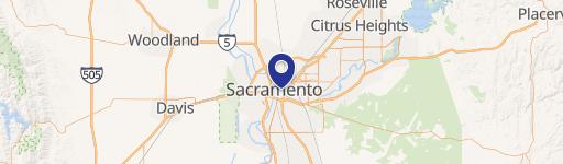
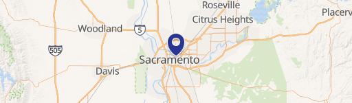
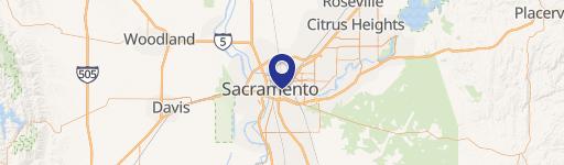
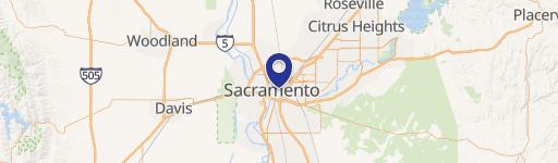
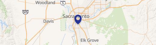
Location Insight
- Map
- Local Demand
- City
- Sacramento
- County
- Sacramento
- State
- California
- Longitude
- -121.466
- Latitude
- 38.5782
- CBSA code
- 40900
- CBSA name
- SACRAMENTO--ARDEN-ARCADE--ROSEVILLE, CA METROPOLITAN STATISTICAL AREA