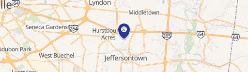
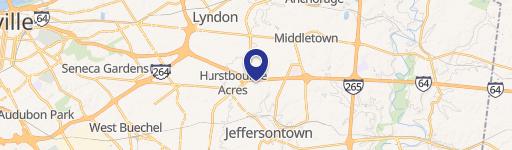
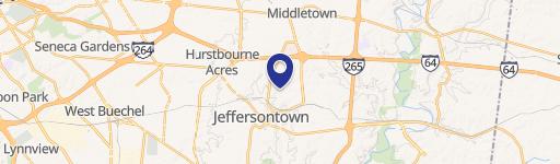
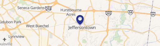
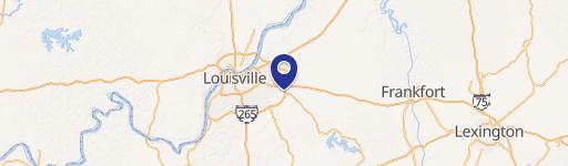
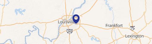
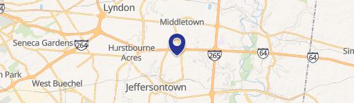
12515 Taylorsville Rd Louisville, KY 40299-4450
- Commercial land
- 6.01 lot acres
Current Use by Public Records
- Commercial land
Property Details for 12515 Taylorsville Rd
- Lot size
- 6.01 lot acres
- Zone code
- R4-RESIDENTIAL SINGLE FAM
- Property type
- Commercial land
- APN
- 22004700440000
- APU
- 22004700440000
Description
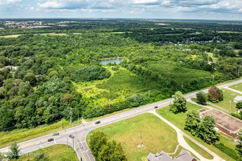
This exceptional 6.11-acre commercial land parcel presents a remarkable investment opportunity in Louisville, Kentucky. Strategically located at the signalized intersection of Taylorsville Road and Tucker Station Road, this property boasts significant visibility and accessibility. The parcel is zoned PD, offering considerable flexibility for a wide range of commercial developments. With approximately 485 feet of frontage on Taylorsville Road and approximately 360 feet on Tucker Station Road, this level lot provides ample space for a variety of uses, including retail centers, freestanding restaurants, stores, banks, or medical facilities. The property's prime location benefits from its proximity to I-265, ensuring convenient access for customers and employees. Further enhancing its appeal is the planned expansion of Urton Lane, which is expected to increase traffic flow and visibility. The property's size and zoning make it ideal for a substantial commercial development project. The asking price is $3,499,000. The Jefferson County Assessor's Parcel Number (APN) is 004700440000. This is a for sale by owner listing. The address is 12515 Taylorsville Rd, Louisville, KY 40299.
Value Estimations
-
AI approach
-
CAP approach
-
Comparable approach
-
Alternative Use
Get a detailed, property-specific valuation — fast and free
Location Insight
- Map
- Local Demand
- City
- Louisville
- County
- Jefferson
- State
- Kentucky
- Longitude
- -85.5227
- Latitude
- 38.188
- CBSA code
- 31140
- CBSA name
- LOUISVILLE-JEFFERSON COUNTY, KY-IN METROPOLITAN STATISTICAL AREA