7001 Indianapolis Rd Whitestown, IN 46075-9510
- Commercial real estate
- 10,148 SF
- 0.92 lot acres
Jun 05, 2025
Current Use by Public Records
- Commercial real estate
Property Details for 7001 Indianapolis Rd
- Construction
- WOOD
- Lot size
- 0.92 lot acres
- Property size
- 10,148 SF
- Zone code
- ZO01
- Property type
- Commercial real estate
- APN
- 06-04-06-000-001.001-021
- APU
- 60406000001001021
Description
This exceptional 20-acre parcel of commercial land presents a remarkable opportunity for developers and investors seeking a strategic location in the thriving Whitestown, Indiana market. Situated at 7001 S Indianapolis Rd, this property boasts convenient access to major transportation routes, ensuring seamless connectivity for businesses and employees. The expansive acreage offers significant potential for a wide range of commercial developments, from retail centers and office complexes to industrial facilities and logistics hubs. Whitestown's robust economic growth and strategic location within the greater Indianapolis metropolitan area make this land a highly desirable investment. The property's zoning and permitted uses should be independently verified to ensure alignment with specific development plans. Detailed site surveys and environmental assessments are recommended before finalizing any development proposals. This is a rare opportunity to acquire a substantial land holding in a rapidly expanding area, offering significant long-term growth potential. The property is located in Boone County, Indiana, with a zip code of 46075. Its geographical coordinates are 39.9393348 latitude and -86.3505475 longitude. Serious inquiries are encouraged to explore the possibilities of this exceptional commercial land offering.
Value Estimations
-
AI approach
- Method
- Estimation
- ML approach
- $215,000
-
Comparable approach
- Method
- Estimation
- AI Estimate
- $328,000
Market price range: $329k - $1.71M
Get a detailed, property-specific valuation — fast and free
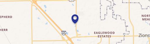
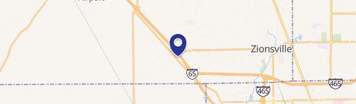
Location Insight
- Map
- Local Demand
- City
- Whitestown
- County
- Boone
- State
- Indiana
- Longitude
- -86.3506
- Latitude
- 39.9391
- CBSA code
- 26900
- CBSA name
- INDIANAPOLIS-CARMEL-ANDERSON, IN METROPOLITAN STATISTICAL AREA