
92 Bishop Brook Road, Stewartstown, NH 03576


- Added:
- May 29, 2026
- Days on Market:
- 9
- Last Refresh:
- Jun 5 at 11:06 pm
Property Features for 92 Bishop Brook Road
General Information
- Property type
- Land
- Property subtype
- Other
- Zoning
- Rural
- Standard status
- Active
- Lot size
- 245.00 Acres
Taxes and HOA fees
- Tax Year
- 2025
- Tax Annual Amount
- 2827
Utilities
- Water source
- Spring
Listing agent Wayne FRIZZELL (603) 237-4400
Listing office Raymond E. Davis Real Estate 20 Sunset Drive, Colebrook, NH (603) 237-4400
Listing date May 29, 2026
Copyright © 2026 PrimeMLS. All rights reserved. All information provided by the listing agent/broker is deemed reliable but is not guaranteed and should be independently verified.
HighLights
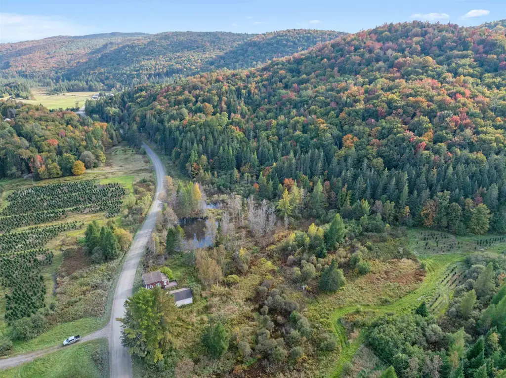
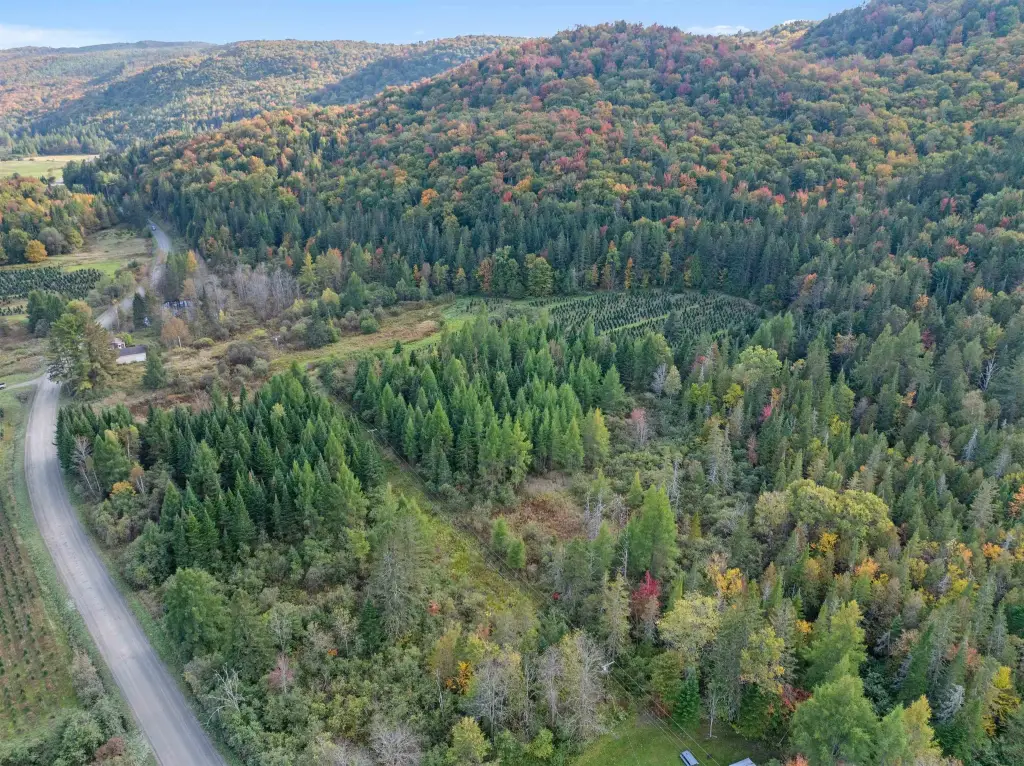
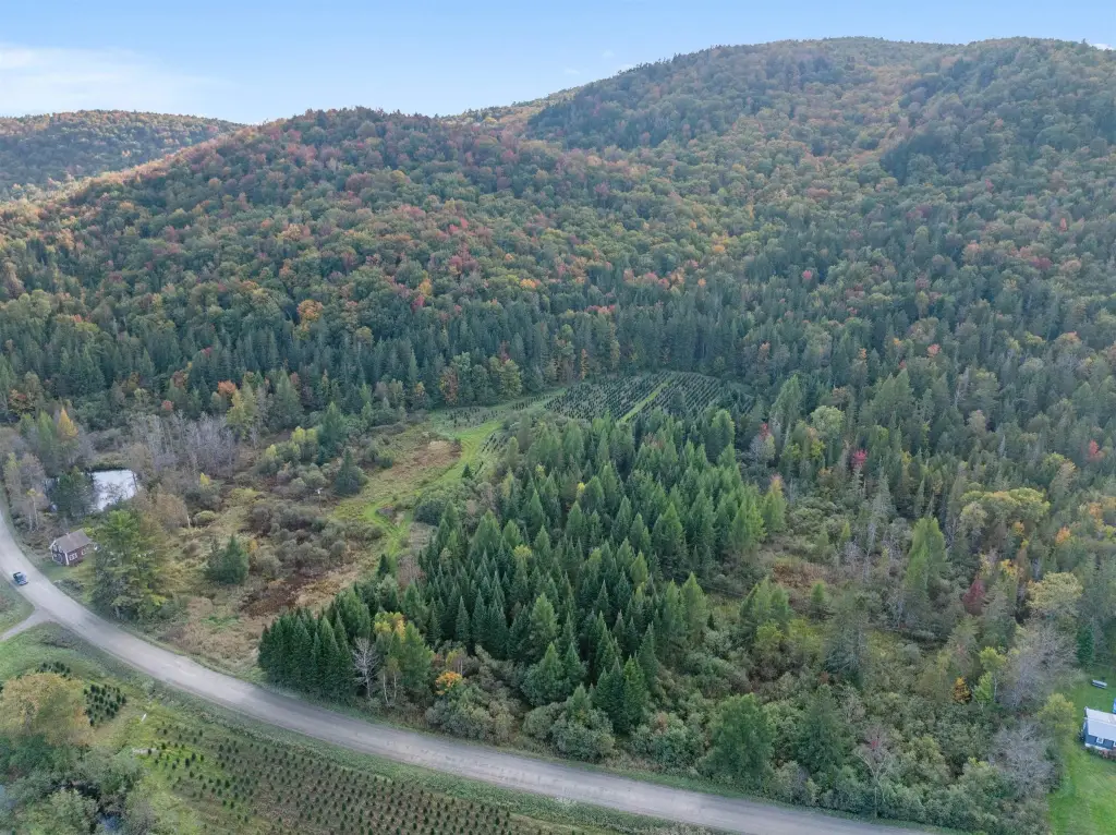
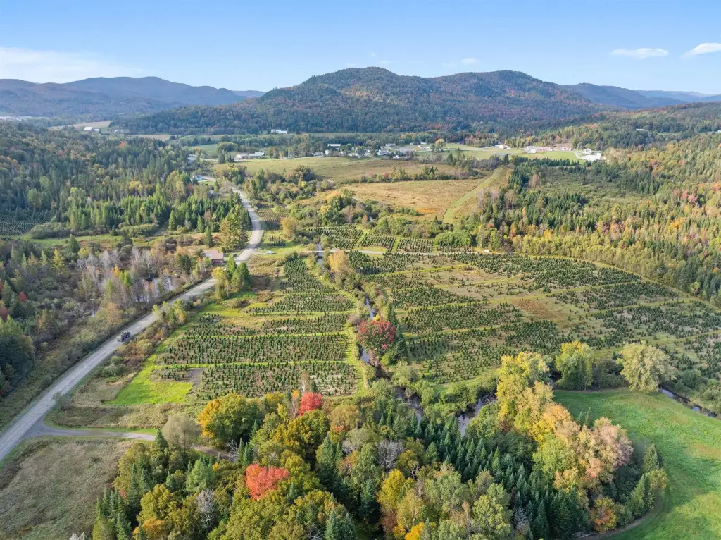
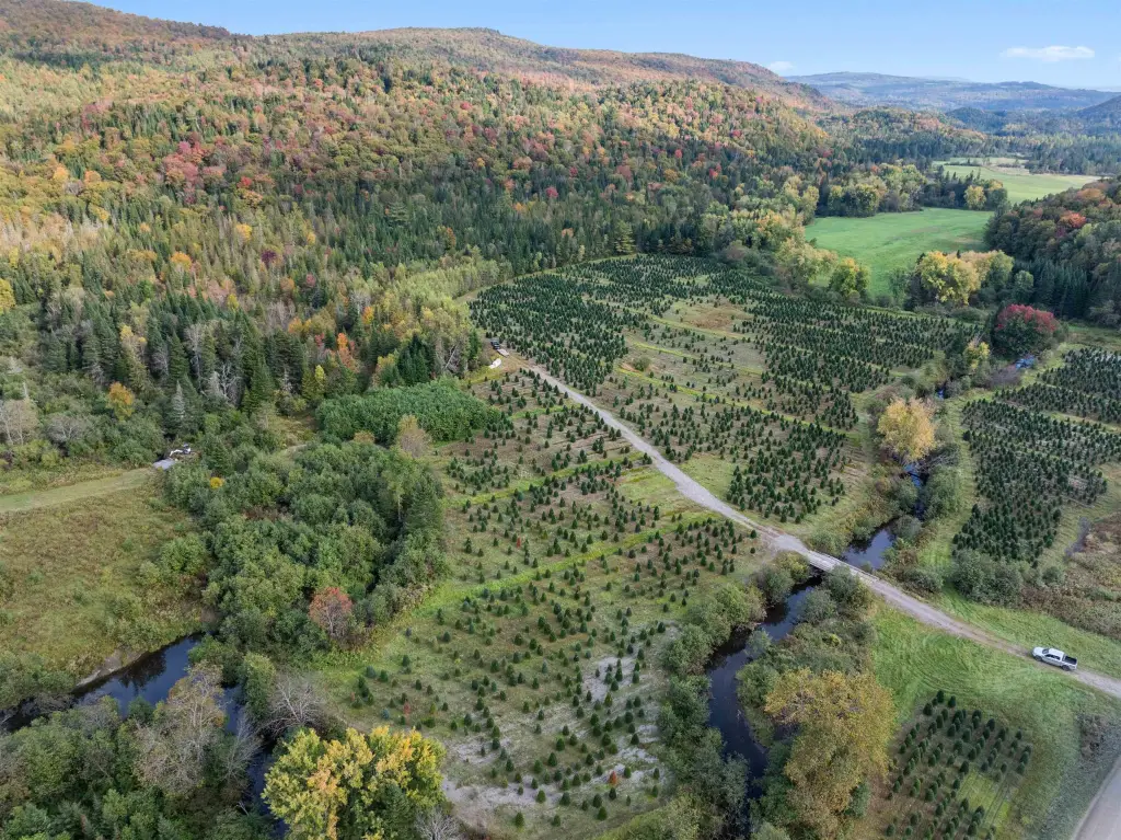
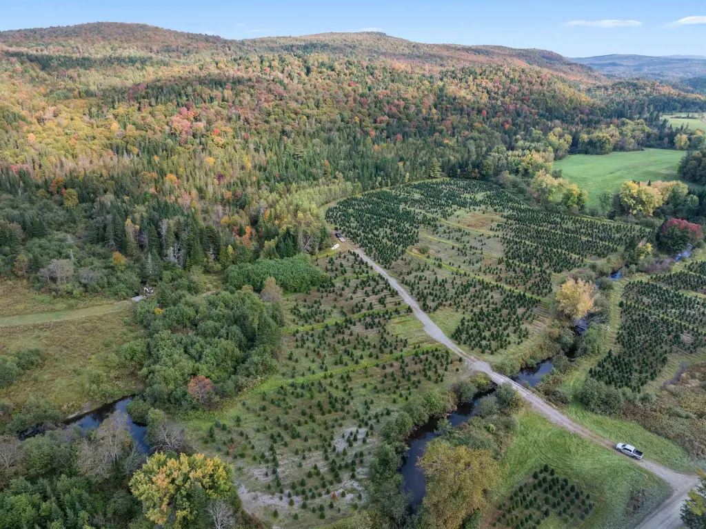
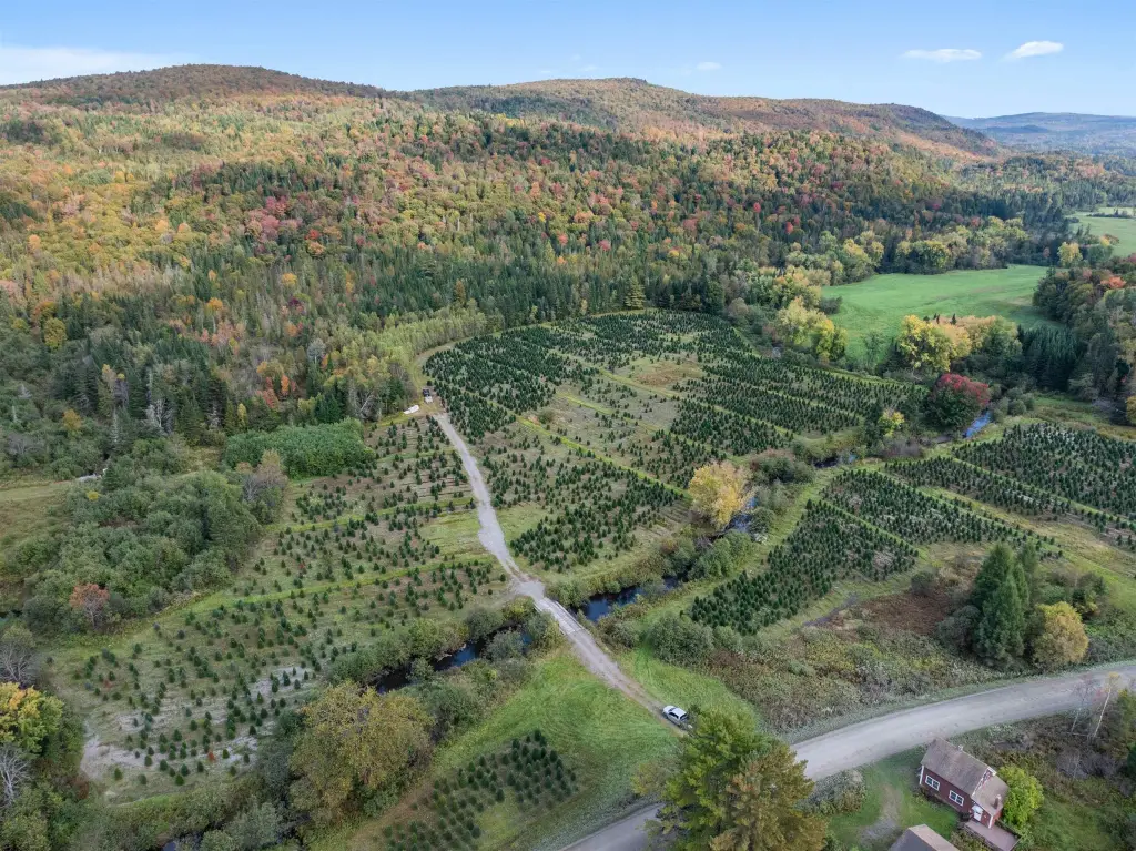
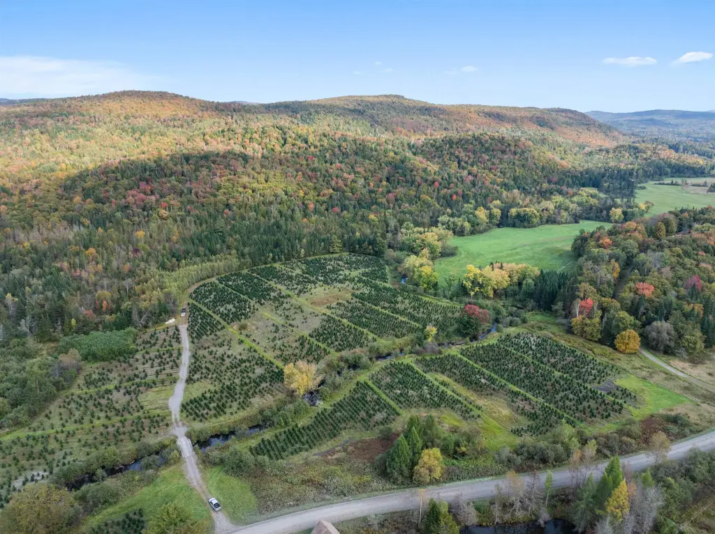
- Own a one‑quarter share of 245+/- acres on Bishop Brook Road.
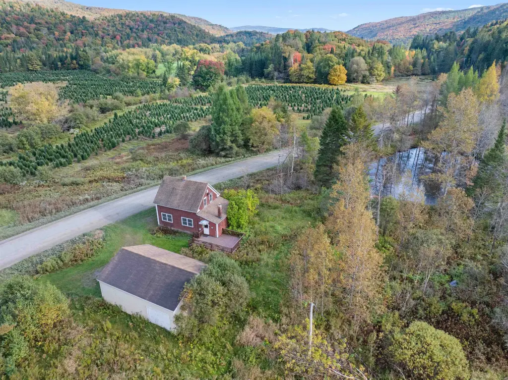
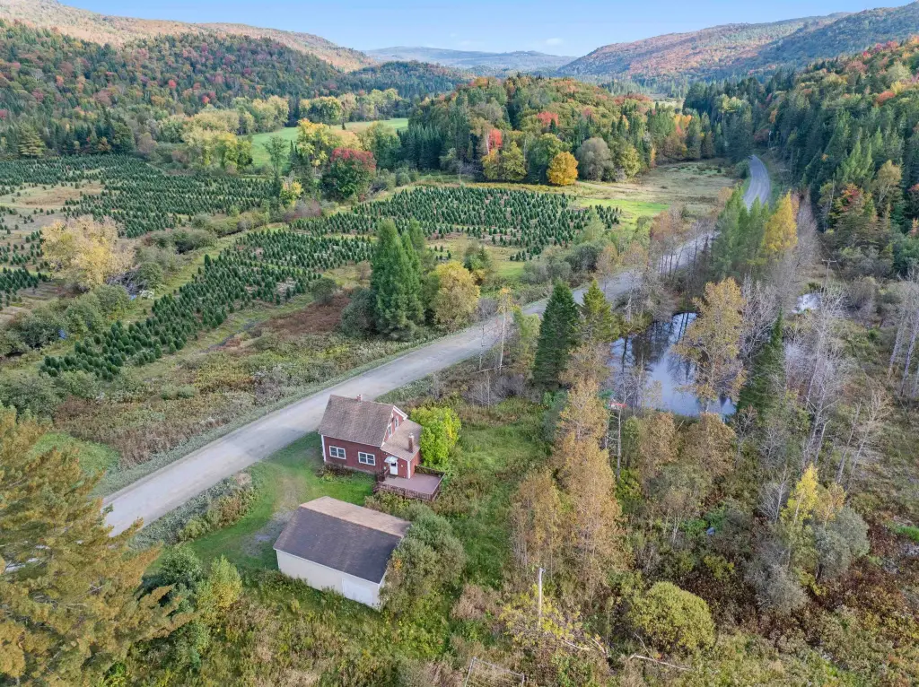
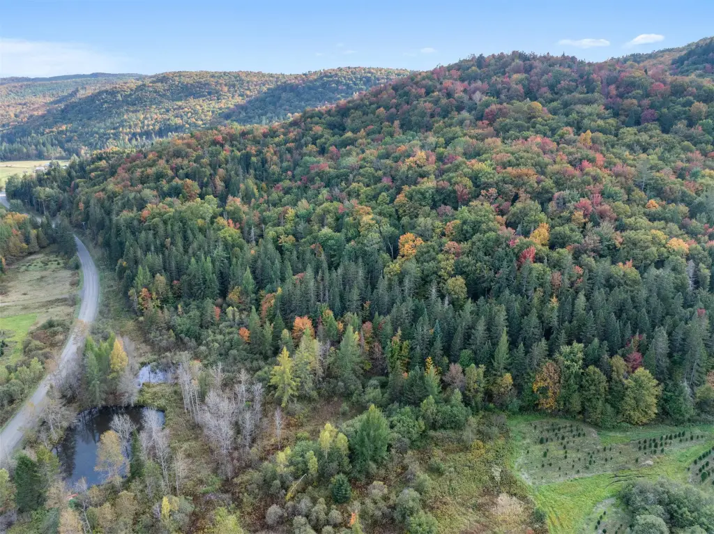
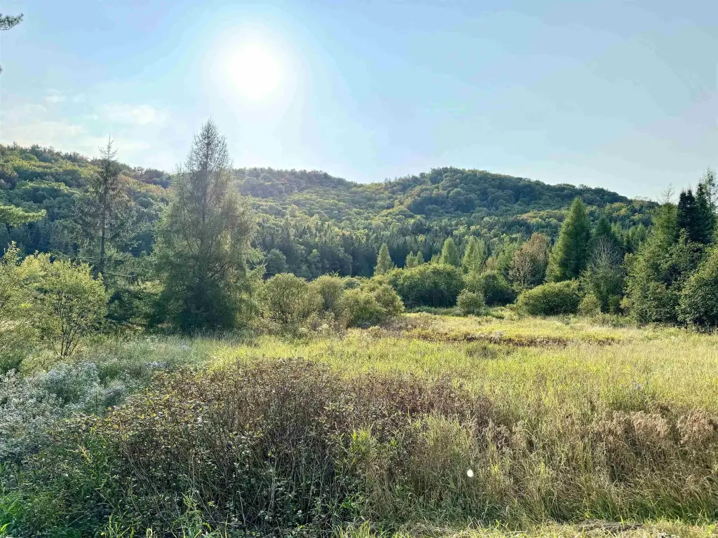
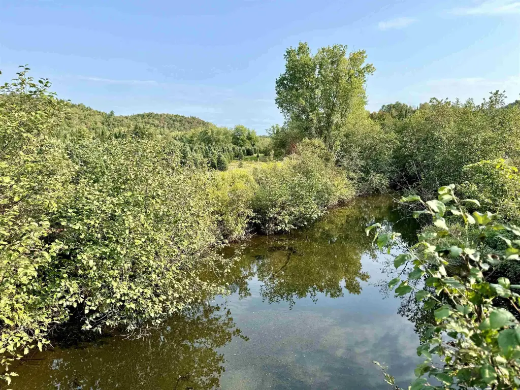
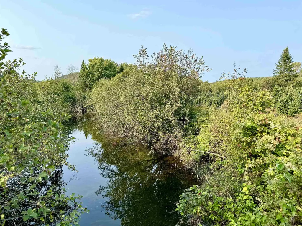
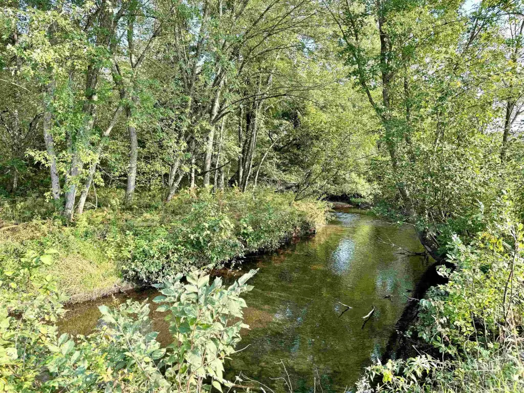
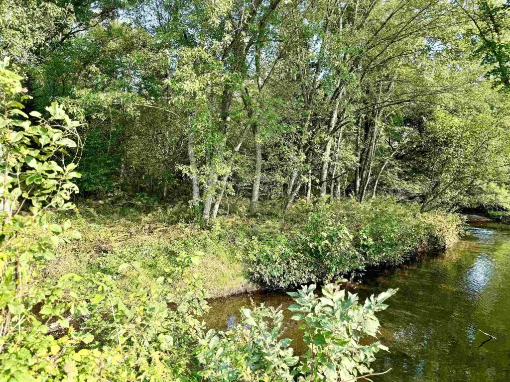
- Includes .80+/- mile stretch of Bishop Brook for trout fishing.
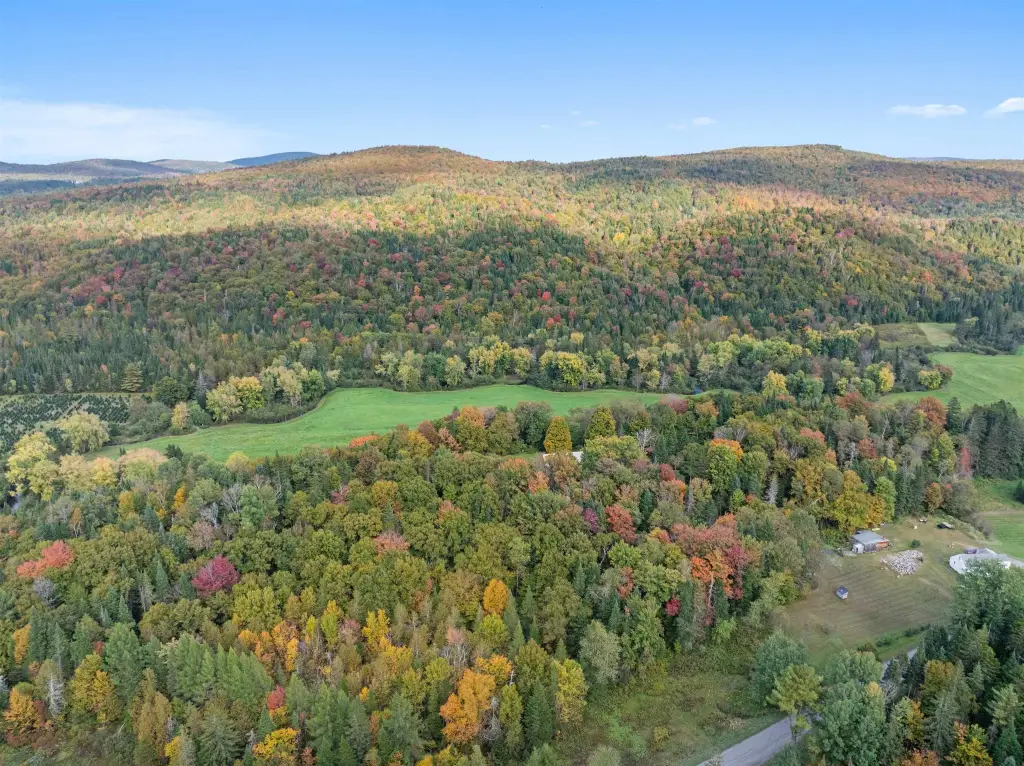
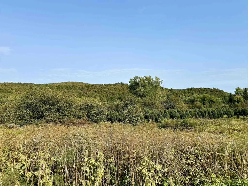
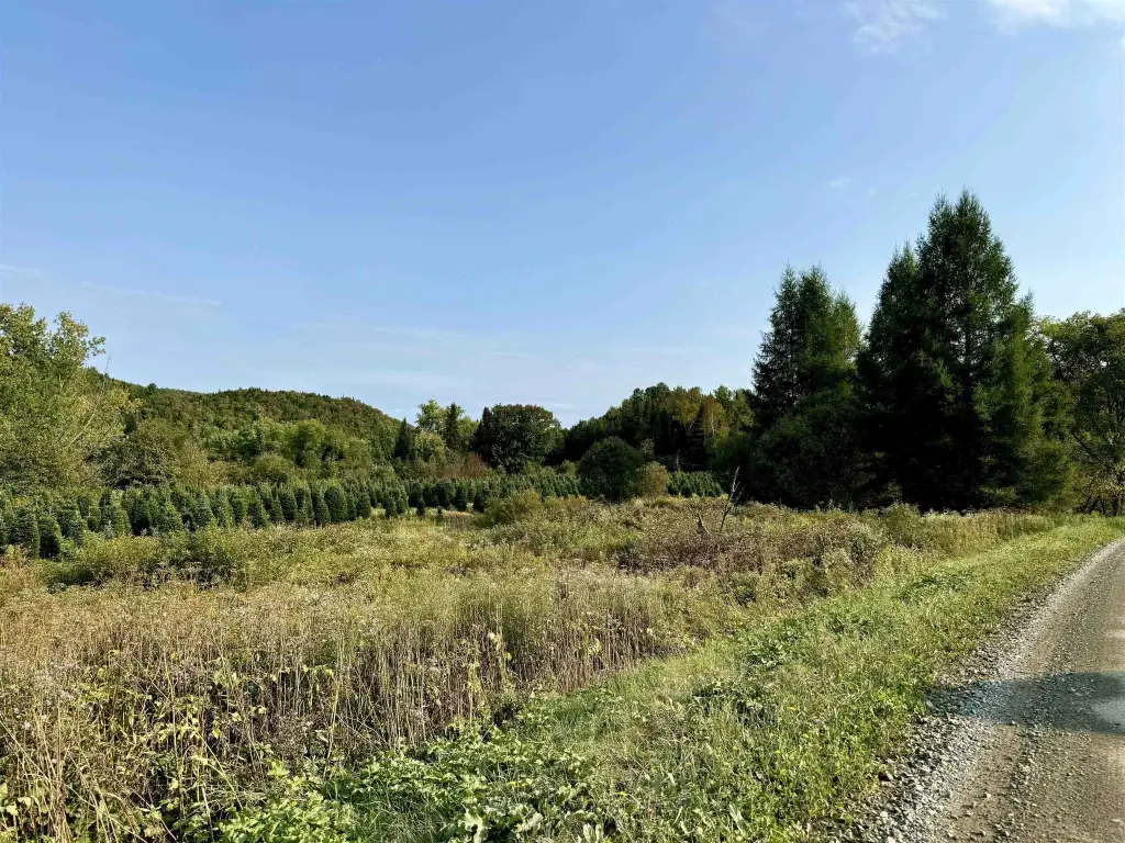
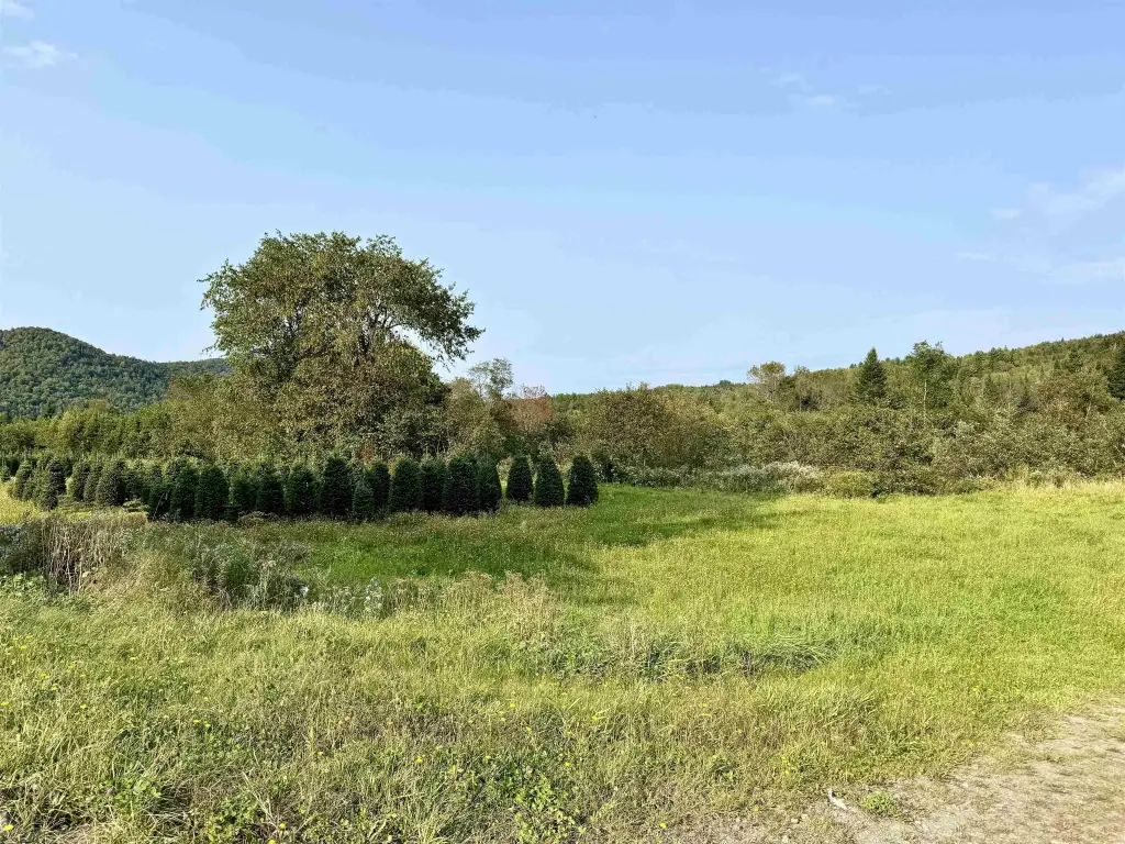
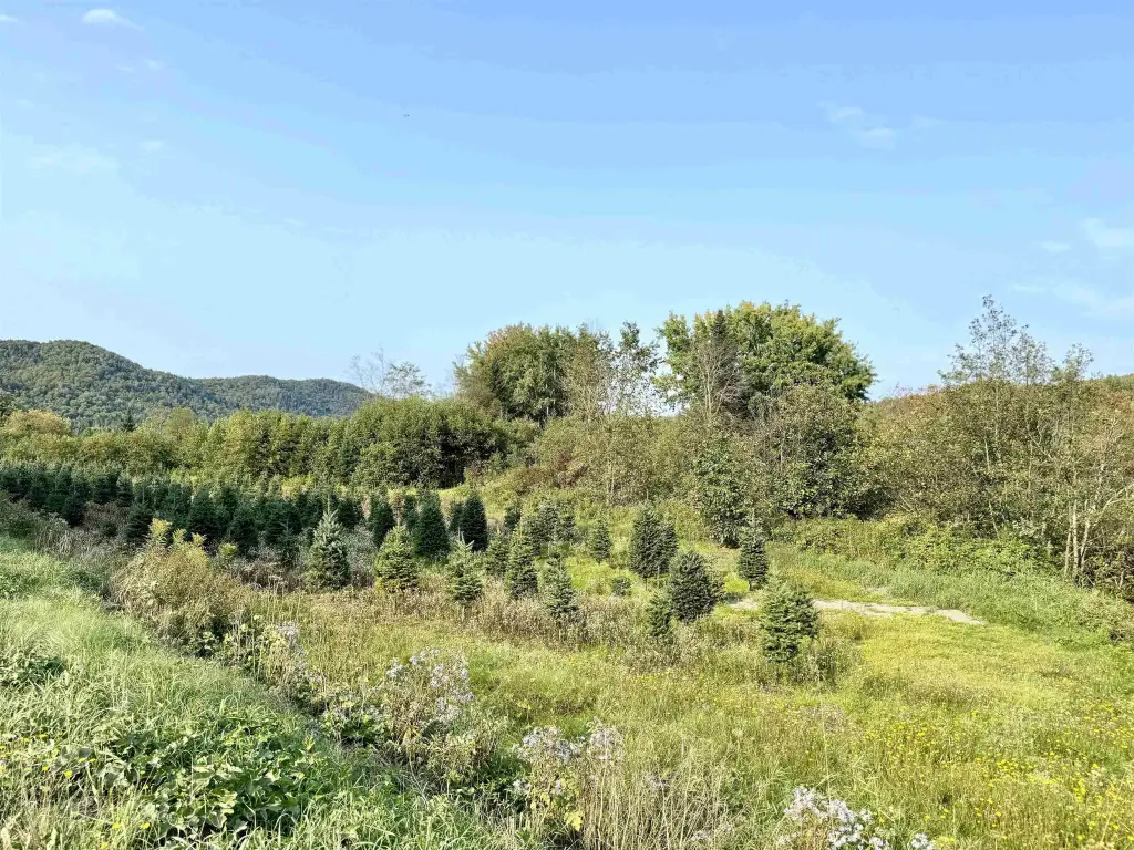
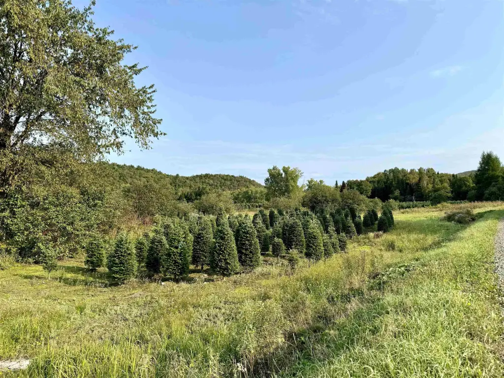
- Diverse hardwood forest with abundant maple and only selective timbering done over 22 years ago.
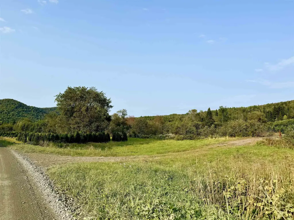
- Three well‑constructed bridges provide access across Bishop Brook and Pond Brook.
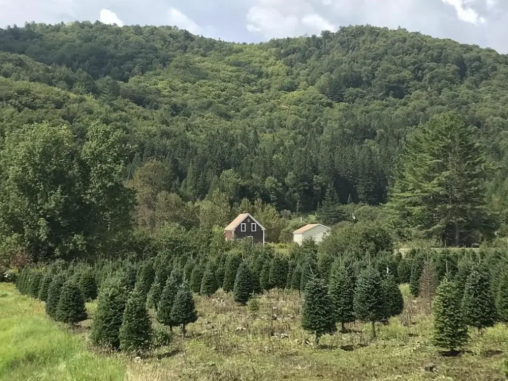
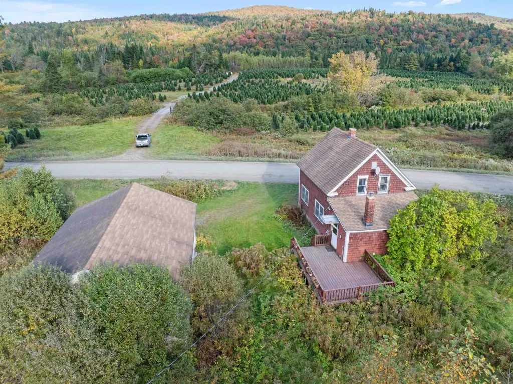
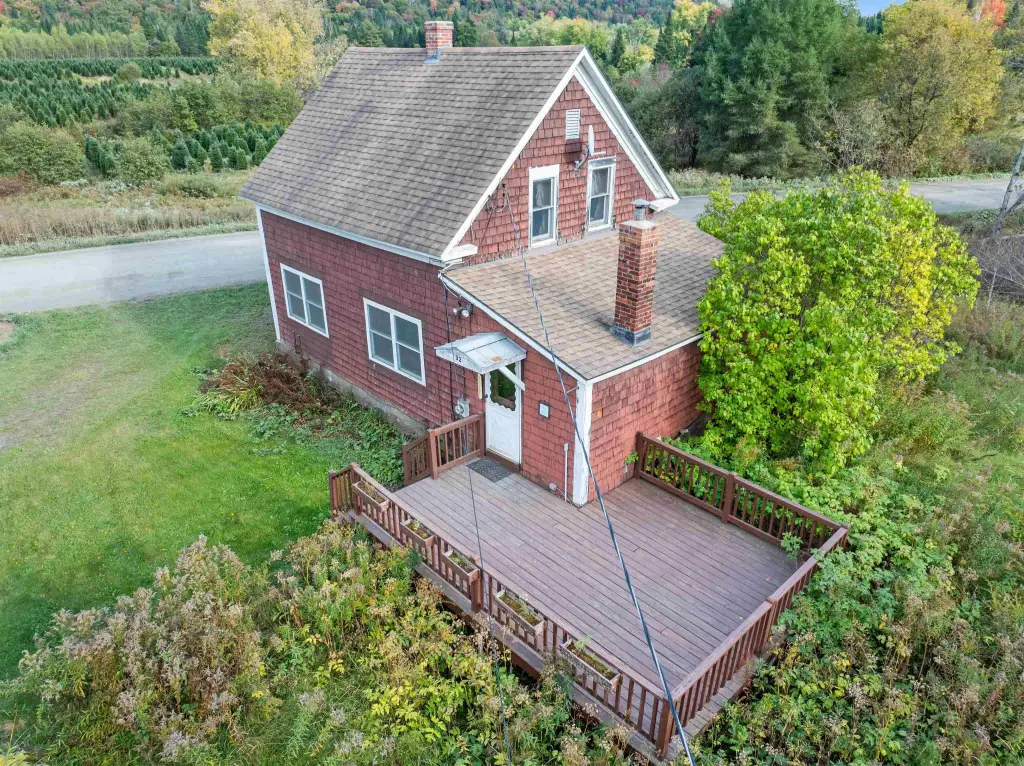
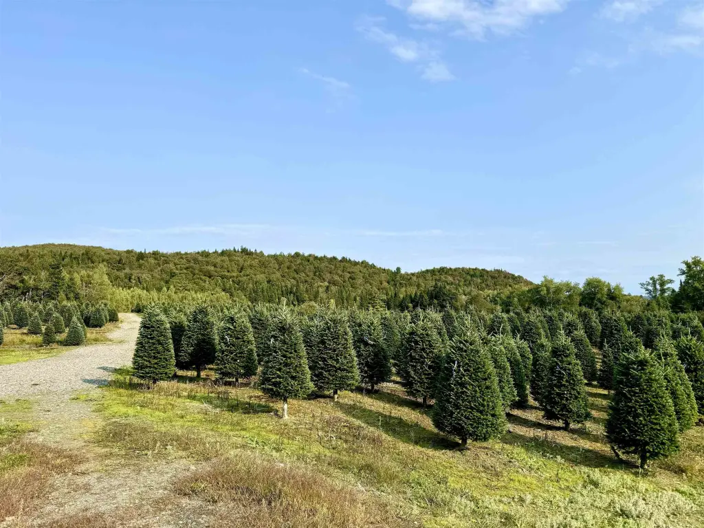
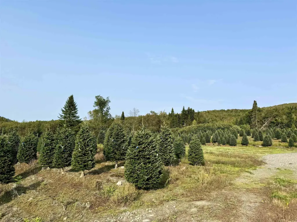
- Portion of the property is currently operated as a Christmas Tree Farm.
- Southern boundary borders 313+/- acres protected under a conservation grant managed by NH Fish & Game.
Overview
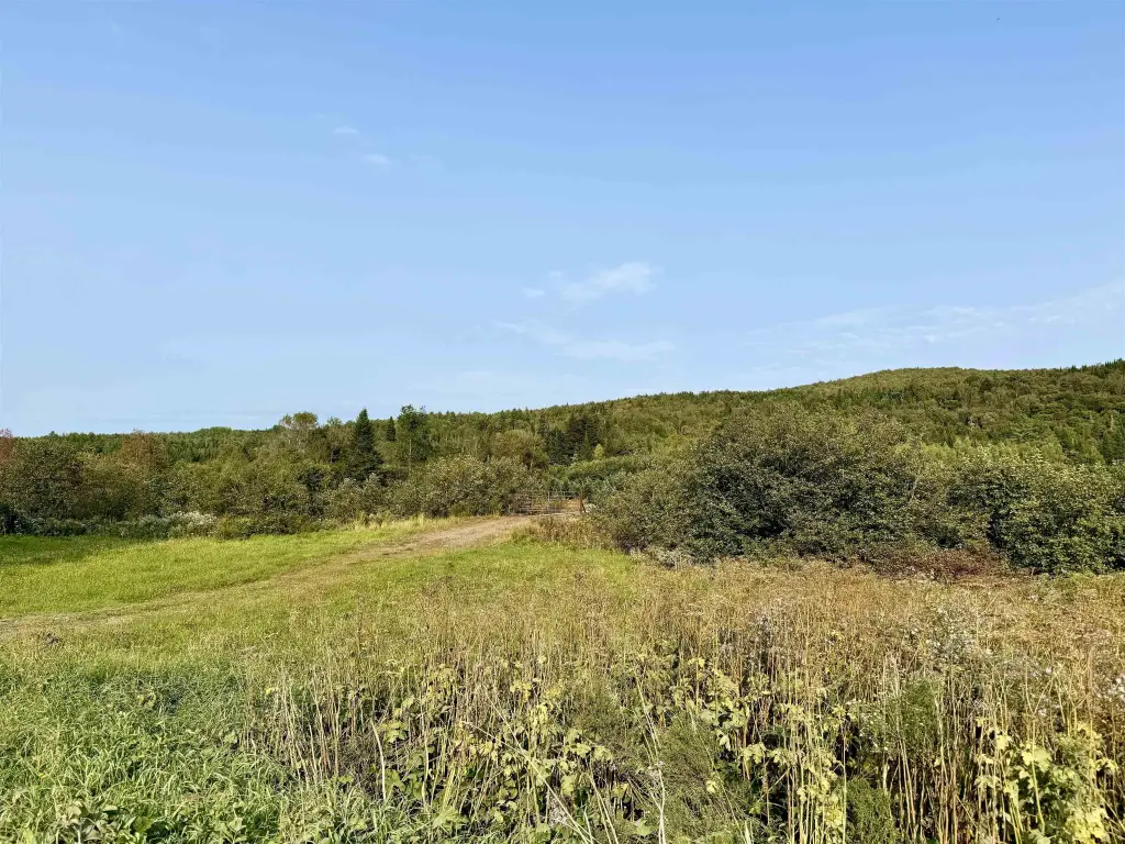
The parcel is located in Stewartstown, New Hampshire in Coos County, with surrounding land including a conservation-grant protected area to the south totaling 313+/- acres managed by NH Fish & Game. The snowmobile trail is reported to cross directly through the property, adding convenient winter access.
For buyers seeking shared ownership of managed forest and working-ag land, the current Christmas tree operation and the mature maple component offer a practical foundation for continued agricultural or recreational activity. Brook frontage and multiple water crossings support uses such as fishing and general land exploration across seasons. The protected neighboring acreage may help maintain long-term surrounding wilderness character, which can be important for recreational planning and future use decisions.
Current Use by Public Records
Map
- City
- Stewartstown
- County
- Coos
- State
- New Hampshire
- Longitude
- -71.48208772
- Latitude
- 44.99375326


