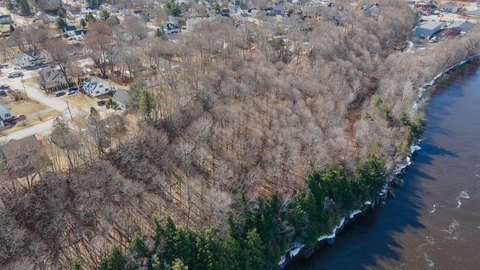
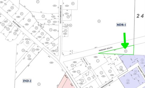
39 Green Point Rd Brewer, ME 04412
- Commercial real estate
- 1,236 SF
- 0.63 lot acres
Current Use by Public Records
- Commercial real estate
Property Details for 39 Green Point Rd
- Lot size
- 0.63 lot acres
- Property size
- 1,236 SF
- Property type
- Commercial real estate
Description
This exceptional 0.63-acre commercial property in Brewer, Maine, presents a unique investment opportunity. Located at 39 Green Point Road, 04412, this versatile property boasts a 1,236 square foot building, offering a multitude of potential uses. Currently configured as a raised ranch home with two bedrooms and one bathroom upstairs, and additional space downstairs suitable for a third bedroom and full bathroom, the property allows for live-in ownership or immediate business operation. The building features a second entrance to a separate room, ideal for a home office or business expansion. The expansive open space downstairs provides ample room for various business ventures. Situated in a General Business Zone, this property offers flexibility not often found. Its convenient location provides easy access to hospitals, interstate highways, schools, and restaurants, ensuring both residential and commercial convenience. The property's zoning allows for a wide range of business uses, making it an attractive option for entrepreneurs seeking a prime location in Brewer. This is a rare chance to acquire a property with both residential and commercial potential in a highly desirable area. The asking price is $269,900.
Value Estimations
-
AI approach
-
CAP approach
-
Comparable approach
-
Alternative Use
Get a detailed, property-specific valuation — fast and free
Location Insight
- Map
- Local Demand
- City
- Brewer
- County
- Penobscot
- State
- Maine
- Longitude
- -68.744222
- Latitude
- 44.7784127