90 MOL Acres. Wakita OK, Wakita, OK 73771

- Added:
- Mar 23, 2026
- Days on Market:
- 87
- Last Refresh:
- Jun 17 at 7:06 am
Property Features for 90 MOL Acres. Wakita OK
General Information
- Property type
- Farm
- Property subtype
- Farm
- Parking features
- Garage
- Standard status
- Active
- Lot size
- 90.00 Acres
Taxes and HOA fees
- Tax Annual Amount
- 0
Building Details
- Architectural style
- Other
Listing agent Johnny Shaw
Listing office United Country Real Estate Rockin Double J LLC 601 S. Harding, Ste B, Enid, OK (888) 893-3537
Listing date Mar 23, 2026
Copyright © 2026 My State MLS. All rights reserved. All information provided by the listing agent/broker is deemed reliable but is not guaranteed and should be independently verified.
HighLights
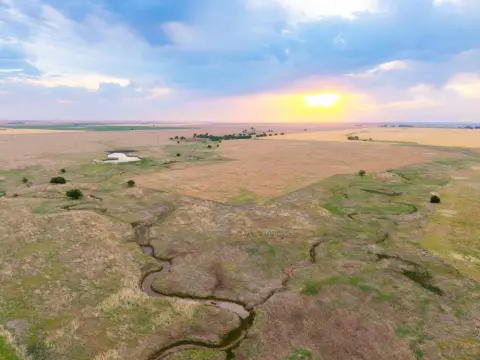
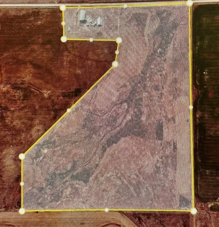
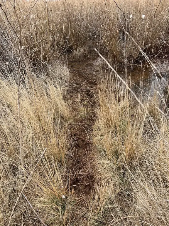
- Approximately 90‑acre farm tract in Grant County, Oklahoma, with acreage to be confirmed by survey after offer acceptance
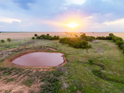
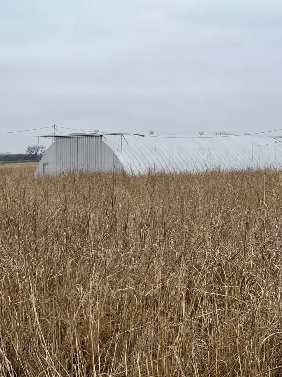
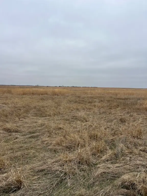
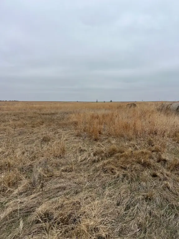
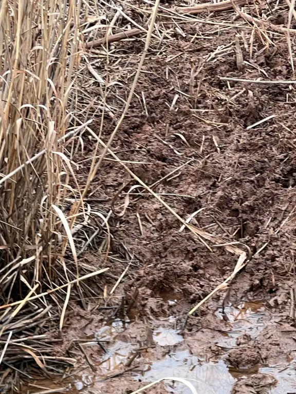
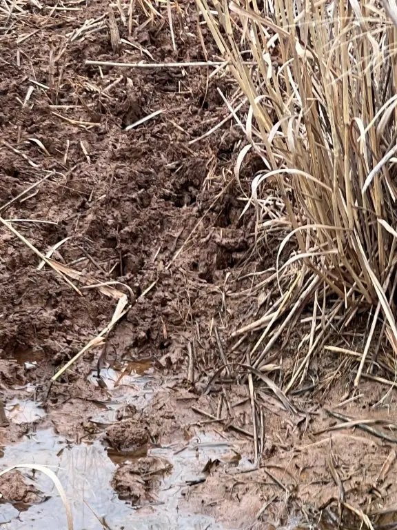
- Mostly grassy terrain with a small portion of cropland for flexible farming or recreational use
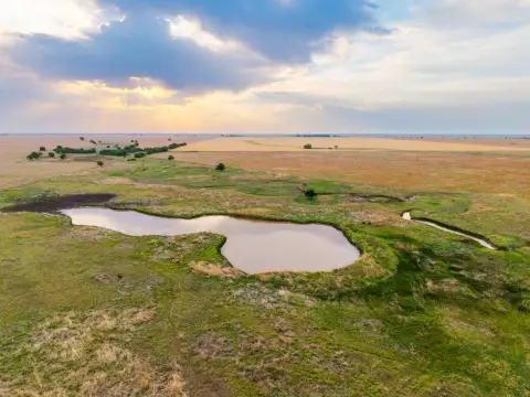
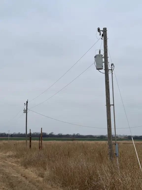
- Rural water and electric service available, supporting future development or continued farming operations
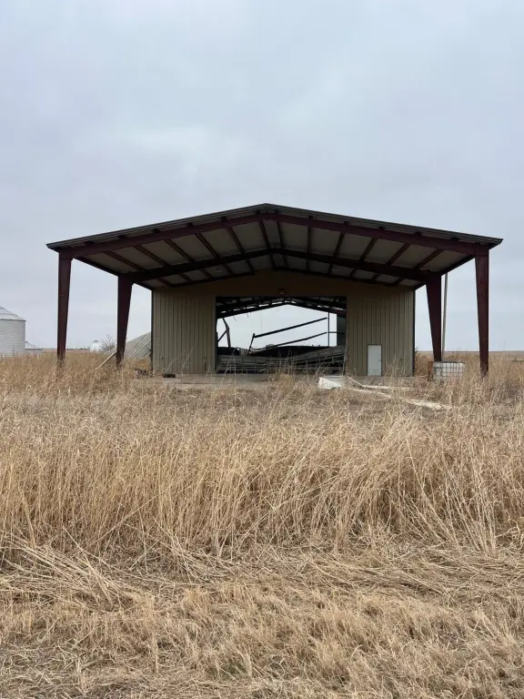
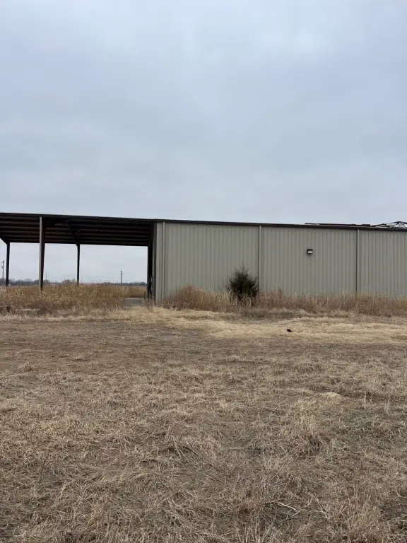
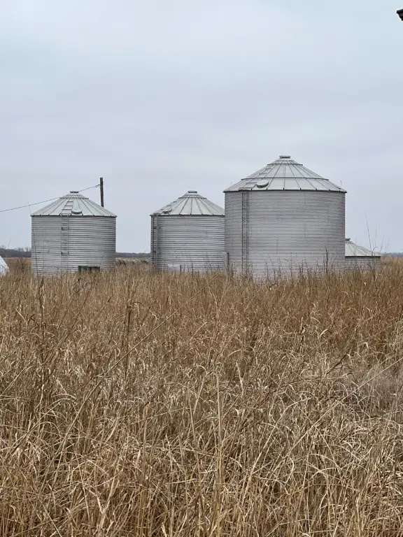
- Large barns on the property provide storage for equipment, livestock, or harvested crops
- Legal description: west half and a portion of the east half of the southwest quarter in Section 22, Township 28N, Range 6W
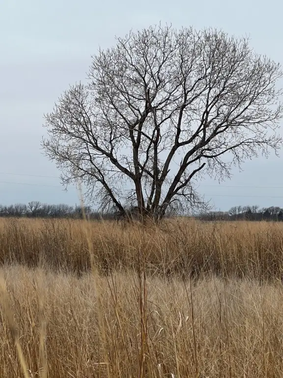
- Gently rolling land suitable for building a pond for wildlife habitat, enjoyment, and potential irrigation
Overview
The land is located in Grant County, Oklahoma, just outside the town of Wakita. The legal description covers the west half and a portion of the east half of the southwest quarter in section 22, township 28 north, range 6 west. The terrain is described as gently rolling, which may support a mix of agricultural activity and outdoor enjoyment, including recreational use.
For buyers looking for a combined working-and-recreational property, the barns and utility availability support continued farming operations or storage needs, while the acreage is described as providing habitat for deer and pheasant. The gently rolling ground is also noted as a suitable setting for creating a pond, which could add water for wildlife and serve as a leisure feature. Final boundaries and acreage will be determined through survey, and the purchase price will be adjusted accordingly.
Current Use by Public Records
Map
- City
- Wakita
- County
- Grant
- State
- Oklahoma
- Longitude
- -97.922003
- Latitude
- 36.88336