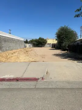
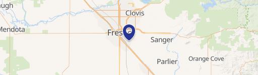
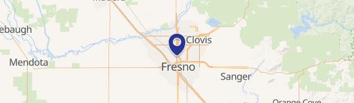
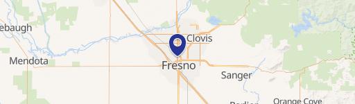
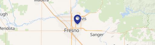
1201 Fresno St Fresno, CA 93703
- Commercial land
- 11,520 SF
- 0.52 lot acres
Current Use by Public Records
- Commercial land
Property Details for 1201 Fresno St
- Year built
- 1949
- Construction
- MASONRY/CONCRETE MASONRY UNITS (CMUS)
- Lot size
- 0.52 lot acres
- Property size
- 11,520 SF
- Zone code
- CG
- Property type
- Commercial land
- APN
- 451-304-12
- APU
- 45130412
Description
This exceptional .87-acre commercial land parcel presents a unique investment opportunity in Fresno, California's vibrant Hammond District. Strategically located at the northwest corner of the signalized intersection of Fresno Street and Olive Avenue, this vacant land boasts high visibility and accessibility. Its prime location is further enhanced by its proximity to a U.S. Post Office and is situated just half a mile south of San Joaquin Memorial High School. A Fresno Transit bus stop directly in front of the property on Fresno Street ensures convenient public transportation access. The surrounding area is a mix of residential homes, schools, and industrial businesses, creating a strong daytime population and consistent traffic flow. Less than a mile west on Olive Avenue lies Fresno's renowned Tower District, a thriving hub of dining, arts, and entertainment, attracting substantial daytime and evening traffic. This dynamic environment offers significant potential for a wide range of commercial developments, benefiting from the established residential and commercial activity in the immediate vicinity. The asking price for this exceptional property is $650,000. The property's address is 1201 N Fresno St, Fresno, CA 93703.
Value Estimations
-
AI approach
-
CAP approach
-
Comparable approach
-
Alternative Use
Get a detailed, property-specific valuation — fast and free
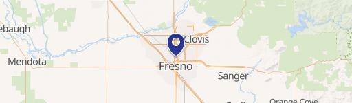
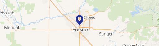
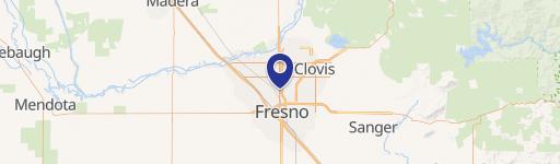
Location Insight
- Map
- Local Demand
- City
- Fresno
- County
- Fresno
- State
- California
- Longitude
- -119.782
- Latitude
- 36.758
- CBSA code
- 23420
- CBSA name
- FRESNO, CA METROPOLITAN STATISTICAL AREA