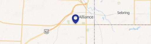
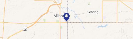
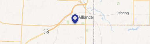
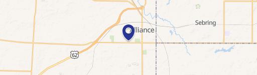
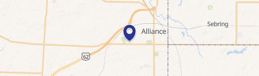
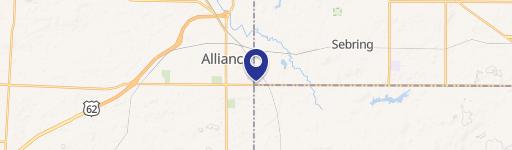
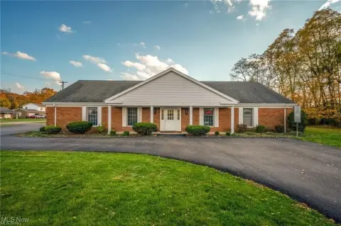
2444 State St Alliance, OH 44601-5601
- Community centers
- 47,899 SF
- 6.99 lot acres
Current Use by Public Records
- Cardtronics ATM / Atm
- Marc's Stores / Convenience Store / Discount Store
- Marc's Pharmacy / Pharmacy
- LibertyX Bitcoin ATM / Atm
- MoneyGram / Money Transfer Service
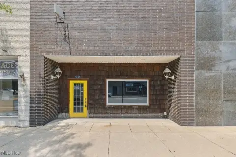
Property Details for 2444 State St
- Year built
- 1993
- Construction
- BRICK
- Lot size
- 6.99 lot acres
- Property size
- 47,899 SF
- Property type
- Community centers
- APN
- 77-01041
- APU
- 7701041
Description
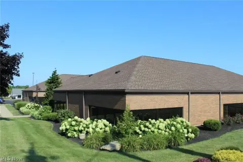
Westwood Square, a 77,806 square foot, grocery-anchored shopping center in Alliance, Ohio, presents a compelling investment opportunity. This stabilized property boasts a 7.50% cap rate and a strong NOI of $700,724, supported by 100% occupancy across its twelve tenants. The center is anchored by Marc's Grocery Store, a regional chain with a long-term lease (through August 2028) occupying 46% of the gross leasable area (GLA). Additional key tenants include Pet Supplies Plus and a freestanding AT&T building, both on NNN leases. The property features a diverse tenant mix of national and regional brands, with nine of the twelve tenants falling into these categories. A significant portion of the GLA (75%) has been occupied by tenants since the 1990s, demonstrating remarkable tenant longevity and stability. The average rent is $9.83/SF NNN ($11.80/SF all-in), considered reasonable and replaceable. Built in 1993 and situated on a 6.99-acre lot, the property includes two single-story buildings. A new 80-mil TPO roof installed in 2015 mitigates near-term capital expenditure risks. The property benefits from high visibility on West State Street (21,630 cars/day), a strong demographic profile (23,793 residents within 3 miles, 34,116 within 5 miles), and proximity to major retailers like Walmart, Lowe's, and a new Meijer-anchored development. The asking price is $9,345,000, offering a compelling return on investment in a thriving market. The property is offered free and clear of debt.
Value Estimations
-
AI approach
- Method
- Estimation
- ML approach
- $925,000
Get a detailed, property-specific valuation — fast and free
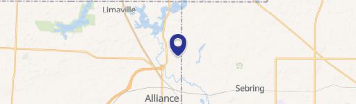
Location Insight
- Map
- Local Demand
- City
- Alliance
- County
- Stark
- State
- Ohio
- Longitude
- -81.1507
- Latitude
- 40.9013
- CBSA code
- 15940
- CBSA name
- CANTON-MASSILLON, OH METROPOLITAN STATISTICAL AREA