82020 South 8000th W Grouse Creek West, Grouse Creek, UT 84313
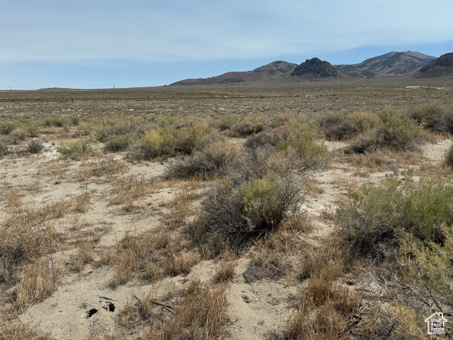
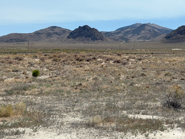
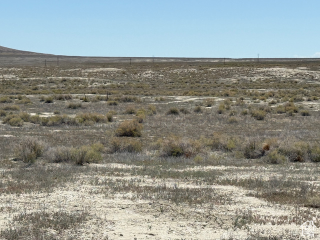
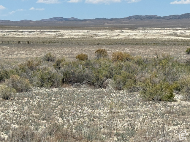
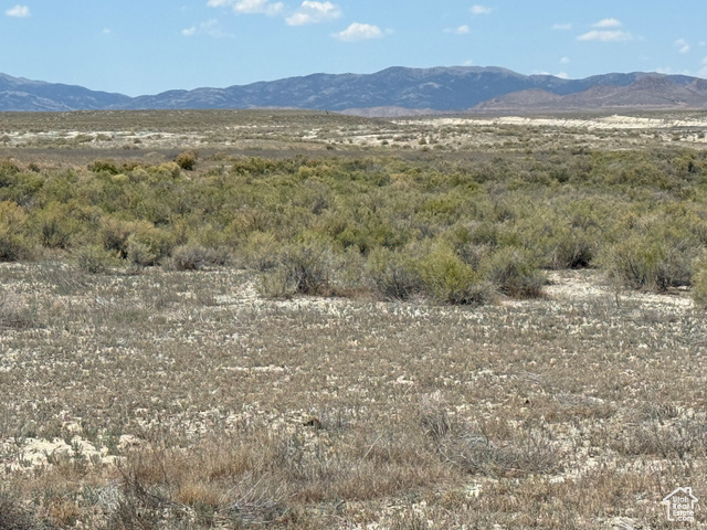
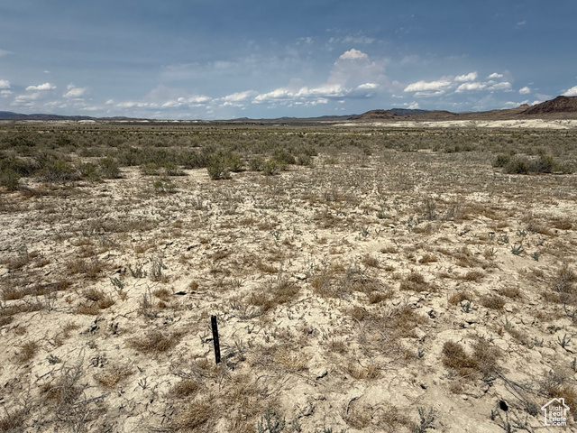
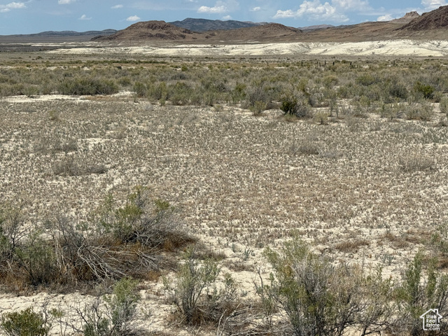
Two parcels near Highway 30 offer partial fencing, wildlife habitat, and BLM frontage for hunting and recreation.
- Added:
- Dec 26, 2024
- Days on Market:
- 558
- Last Refresh:
- Jun 6 at 3:38 am
Property Features for 82020 South 8000th W Grouse Creek West
General Information
- Standard status
- Active
- Size
- 11,543,400 SF
- Property subtype
- Land / Agriculture
Listing office Coldwell Banker Realty (South Ogden) (801) 541-1763
Listing date Dec 26, 2024
Source Compass
Displayed information is deemed reliable but is not guaranteed and should be independently verified.
All listing content including descriptions, pricing, images are the copyrighted material of Coldwell Banker Realty (South Ogden)
HighLights
- Two land parcels totaling 265 acres near Highway 30, with GPS coordinates 41.35158 -114.0159 and 41.36701 -114.00655
- 165‑acre parcel (01‑077‑0004) sits south of Hwy 30 about 1.25 miles
- 100‑acre parcel (02‑021‑0015) sits south of Hwy 30 about 0.5 mile, about 0.33 mile NE of the larger parcel
- Both parcels have partial barbed wire fencing
- Both parcels border BLM land on two sides
Overview
The parcels are located south of Highway 30, with Parcel #01-077-0004 sitting about a mile and a quarter south of the highway. Parcel #02-021-0015 is about a half-mile south of Highway 30 and is approximately a third of a mile northeast of the larger parcel. GPS coordinates are provided for each parcel in the listing materials.
For buyers looking for land-based recreation, this configuration provides a large, self-contained area with privacy and direct BLM adjacency, which can be appealing for hunting access and general outdoor use. The seller states that buyer, buyer’s agent, contractors, and other interested parties should verify parcel size, location, zoning, access, utilities, schools, and any other relevant information. The seller also notes that seller financing is available, and showings must be coordinated with the listing agent.
Current Use by Public Records
Map
- City
- Grouse Creek
- County
- Box Elder
- State
- Utah
- Longitude
- -113.8586862
- Latitude
- 41.7465619